- Kapilvastu District
Infobox Nepal district
district = Kapilvastu District
area = 1,738
population = 481,976
pop_year = 2001
density = 277 / sq km
caption =
region =
established =
languages =Nepali language ,Bhojpuri language
website = http://www.ddckapilvastu.gov.np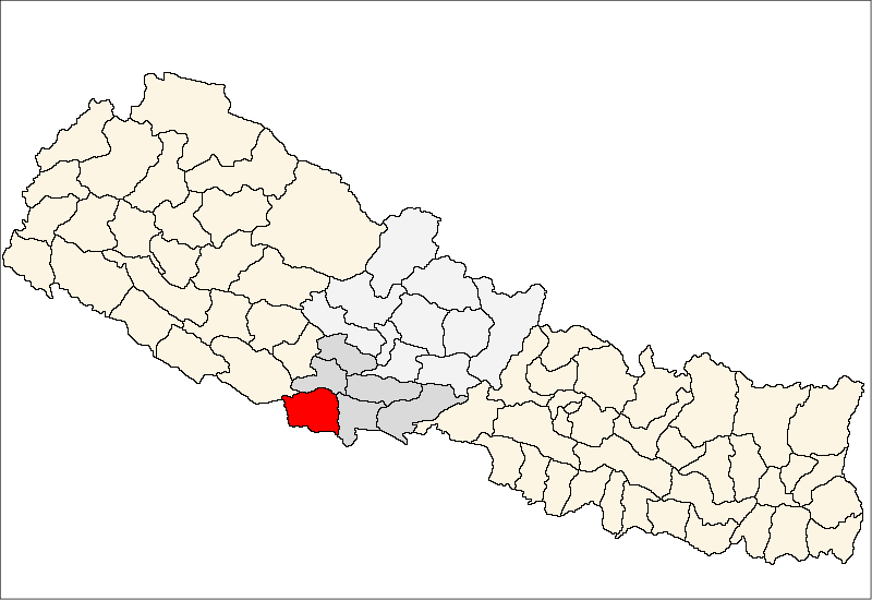
Kapilvastu district (
Nepali :कपिलवस्तु जिल्ला), is one of the districts ofLumbini Zone ,Western Development Region ,Nepal . The district, withTaulihawa as its district headquarters, covers an area of 1,738km² and has a population (2001 ) of 481,976.History
The district is located in a part of ancient Shakya kingdom of
Buddha .Geography
The district situated at the height of 93 to 1491 meters from sea level [http://www.ddckapilvastu.gov.np/DDCKapilvastu/aboutkapilvastu.htm] . Geographically, the district can be divided into plain low lands of terai and low Chure hills.
The district is bounded by-
*East:Rupandehi District
*West:Dang District andUttar Pradesh ,India
*North:Arghakhanchi District andDang District
*South:Uttar Pradesh , IndiaGeography
The district situated at the height of 93 to 1491 meters from sea level [http://www.ddckapilvastu.gov.np/DDCKapilvastu/aboutkapilvastu.htm] . Geographically, the district can be divided into plain low lands of terai and low Chure hills.
The district is bounded by-
*East:Rupandehi District
*West:Dang District andUttar Pradesh ,India
*North:Arghakhanchi District andDang District
*South:Uttar Pradesh , IndiaDemographics
According to 2001 census, the major ethnic groups in this district are as follows [Population Monograph of Nepal, Volume I] -
*Muslim 19.4 %
*Tharu 12.6%
*Brahmin Hill 8.4%
*Yadav 9.2%Administration
The administration of the district is subdivided as follows [http://www.ddckapilvastu.gov.np/DDCKapilvastu/aboutkapilvastu.htm] -
*No. of Ilaka 15
*No. of VDCs 77
*No. of Municipalities 1
*No. of Constitutional assembly divisions 4Places of interest
World Marsh Region
A region with biodiversity, cultural, archaeological and historical monuments that has been proposed to be enlisted in the list of World Cultural Heritage of UNESCO.
Archaeological sites
More than 138 historical sites related to Buddha have already been identified within the boundary to the east of Banganga, west of Kothi, north to Indian border and south to Mahendra highway. The forest of the district stands as a natural park. The land is irrigated by the rivers like Banganga, Koili, Surai, Chirai, and others [http://www.ddckapilvastu.gov.np/DDCKapilvastu/aboutkapilvastu.htm] .
ee also
*
Zones of Nepal
*Lumbini Zone References
*
Wikimedia Foundation. 2010.