- Jumla District
Infobox Nepal district
district = Jumla District
area = 2,531
population = 89,427
pop_year = 2001
density =
caption =
region =
established =
languages =
website =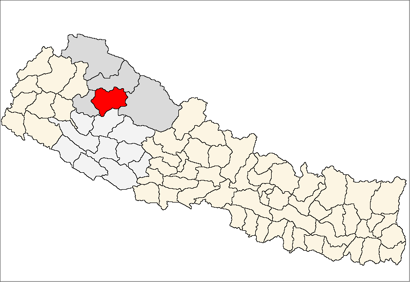
Jumla District, a part of
Karnali Zone , is one of the seventy-five districts ofNepal . The district, with Jumla as its district headquarters, covers an area of 2,531km² and has a population (2001 ) of 89,427. [ [http://www.statoids.com/ynp.html Districts of Nepal] ]The origin of Nepali language is Sinja of Jumla. Therefore, the Nepali dialect "Khas Bhasa" is still spoken among the people in this region.
Towns and villages
*
Badki
*Birat
*Buvramadichaur
*Chandan Nath
*Chhumchaur
*Depalgaun
*Dhapa
*Dillichaur
*Garjyangkot
*Ghode Mahadev
*Gothichaur
*Haku
*Kalikakhetu
*Kanakasundari
*Kartik Swami
*Labhra
*Lihi
*Mahabe Pattharkhola
*Mahadev
*Mahat Gaun
*Malika Bota
*Malikathota
*Narakot
*Pandawagufa
*Patarasi
*Patmara
*Sanigaun
*Talium
*Tamti
*Tatopaniee also
*
Zones of Nepal References
Wikimedia Foundation. 2010.