- Tanahu District
Infobox Nepal district
district = Tanahu District
area = 1,546km²
population = 315,237
pop_year = 2001
density =
caption =
region =
established =
languages =
website =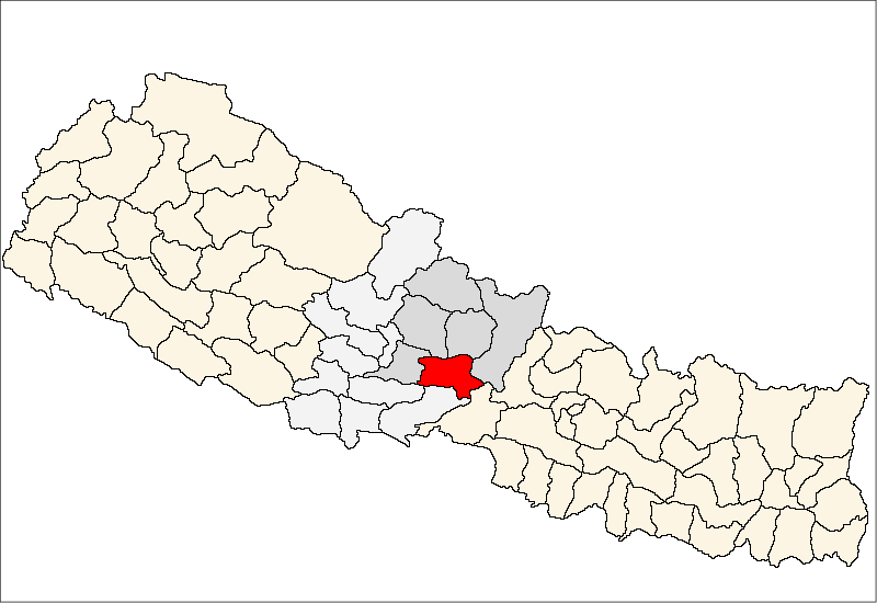
Tanahun District, a part of
Gandaki Zone , is one of the seventy-five districts ofNepal , alandlocked country ofSouth Asia . The district, withDamauli as its district headquarters, covers an area of 1,546km² and has a population (2001 ) of 315,237. Previously the town ofBandipur was its district headquarters.Coordinates & Location type
*Latitude: 27.91667
*Longitude:84.25
*Latitude (DMS):27° 55' 0 N
*Longitude (DMS):84° 15' 0 EMap Of Tanahu
http://www.un.org.np/maps/district-maps/western/Tanahu.pdf
ee also
*
Zones of Nepal References
*
Wikimedia Foundation. 2010.