- Rolpa District
Infobox Nepal district
district = Rolpa District
area = 1,879km²
population = 210,004
pop_year = 2001
density =
caption =
region =
established =
languages =
website =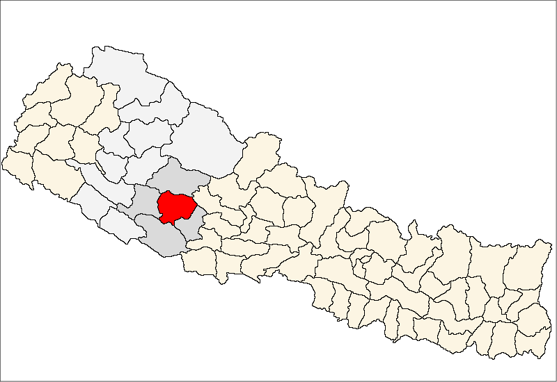
Rolpa District, a part of
Rapti Zone , is one of the seventy-five districts ofNepal . The district, withLivang as its district headquarters, covers an area of 1,879km² and has a population (2001 ) of 210,004. By Nepalese standards, Rolpa is underdeveloped and plagued by low life expectancy (52 years) and poverty (on average less than $100 per capita). It was a major flashpoint in the 1996-2006 Civil War. Adjoining districts are Dang to the south,Pyuthan to the east, Salyan to the west and Rukkum to the north.Most of Rolpa is rugged highlands populated by the indigenous
Kham Magar nationality. These highlands are isolating because traders and travellers have always detoured around them. The highlands are drained southward by theMardi Khola (stream). Irrigated ricefields along this stream are of limited extent because it has eroded a narrow inner gorge, and those that exist are monopolized byPahari Hindus and Newars, leaving the indigenous Kham with upland fields too high and cold, steep or rocky for rice cultivation. Upland harvests ofmaize ,millet andbarley are invariably insufficient and so Rolpa has chronic food deficits.Food deficits have driven upland Kham into growing market crops (fruit and
hashish ) better suited to the terrain than grain, although marketing is hampered by lack of roads beyond Liwang. Kham also make ends meet by selling their labor. They work as agricultural laborers in other districts, as porters, as soldiers and as general laborers, but their input is devalued by Rolpa's underdeveloped education infrastructure. There is no post-secondary education in the district, and students who speak more Khamkura than Nepali are disadvantaged in primary and secondary education because Nepali is the medium of instruction and the national examination system selects against students who are not proficient in it. Without educational credentials Kham lack access to the more desirable jobs.According to bbc.com, Life expectancy in Rolpa is 52 Years, and per capita annual income is below $100. It is also reported as being a "Maoist Stronghold" of the
Communist Party of Nepal .Fact|date=February 2007References
*
Wikimedia Foundation. 2010.