- Arghakhanchi District
Infobox Nepal district
district = Arghakhanchi District
area =
population =
pop_year =
density =
caption = Location in Lumbini Zone
region =
established =
languages =
website =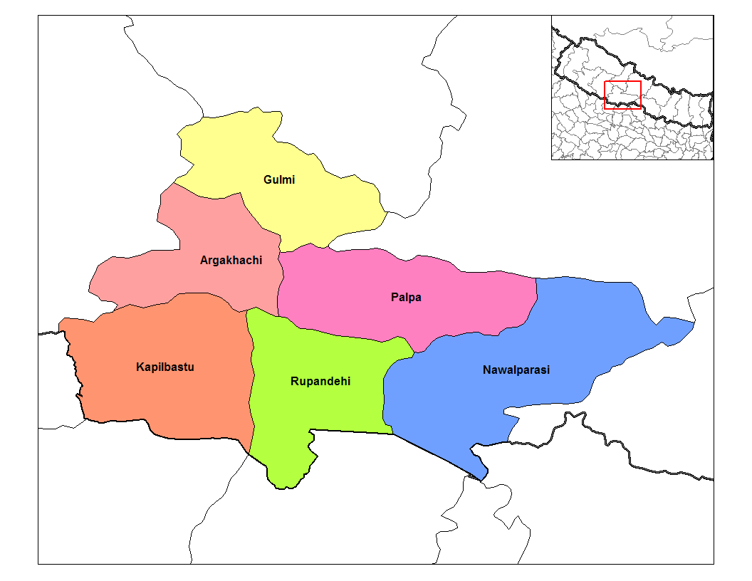
Arghakhanchi District, a part of
Lumbini Zone , is one of the seventy-five districts ofNepal , alandlocked country ofSouth Asia . The district, withSandhikharka as its district headquarters, covers an area of 1,193 km² and has a population (2001 ) of 208,391.It was initially two separate kingdoms Argha andKhanchi until Bahadur Shah in 1786CE (1843 BS) annexed both of these principalities under his unification campaign of Chaubisi Rajya.Gallery
Towns and villages
Adguri ,Argha ,Arghatos ,Asurkot , Balkot, Bangi, Bangla, Bhagawati,Chhatraganj ,Chidika ,Dhakawang ,Dhanchaur ,Dharapani ,Dhatiwang ,Dhikura ,Dibharna ,Gorkhunga ,Hansapur ,Jukena ,Juluke ,Keemadada ,Kerunga ,Khan, Nepal ,Khanchikot ,Khandaha ,Khidim , Khilji, Maidan,Mareng ,Narapani , Nuwakot, Pali,Parena ,Pathauti ,Pathona ,Pokharathok ,Sandhikharka ,Siddhara ,Simalapani , Sitapur,Subarnakhal ,Thada ,Thulo Pokhara ee also
*
Zones of Nepal References
* [http://www.arghakhanchi.com Arghakhanchi TIMES]
*
Wikimedia Foundation. 2010.