- Solukhumbu District
Infobox Nepal district
district = Solukhumbu District
area = 3,312km²
population = 107,686
pop_year = 2001
density =
caption = Solukhumbu is located in the north of Nepal
region =
established =
languages =
website =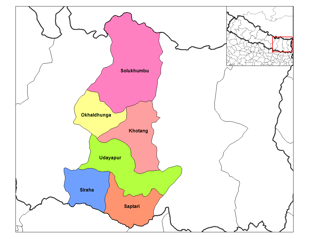
Solukhumbu District (सोलुखुम्बु जिल्ला), a part of
Sagarmatha Zone , is one of the seventy-five districts ofNepal , alandlocked country ofSouth Asia . The district, withSalleri as its district headquarters, covers an area of 3,312km² and has a population (2001 ) of 107,686.Mount Everest is located in the northern part of this district, withinSagarmatha National Park .Indigenous ethnic Rai and hill Caste Chhetri are the main groups living in the mid-hills, while Sherpas occupy high mountains.
ee also
*
Zones of Nepal References
*
Wikimedia Foundation. 2010.