- National Register of Historic Places listings in Claiborne County, Mississippi
-
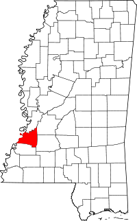 Location of Claiborne County in Mississippi
This is a list of the National Register of Historic Places listings in Claiborne County, Mississippi.
This is intended to be a complete list of the properties and districts on the National Register of Historic Places in Claiborne County, Mississippi, United States. Latitude and longitude coordinates are provided for many National Register properties and districts; these locations may be seen together in a Google map.[1]
There are 36 properties and districts listed on the National Register in the county, including 2 National Historic Landmarks.
-
- This National Park Service list is complete through NPS recent listings posted November 10, 2011.[2]
Current listings
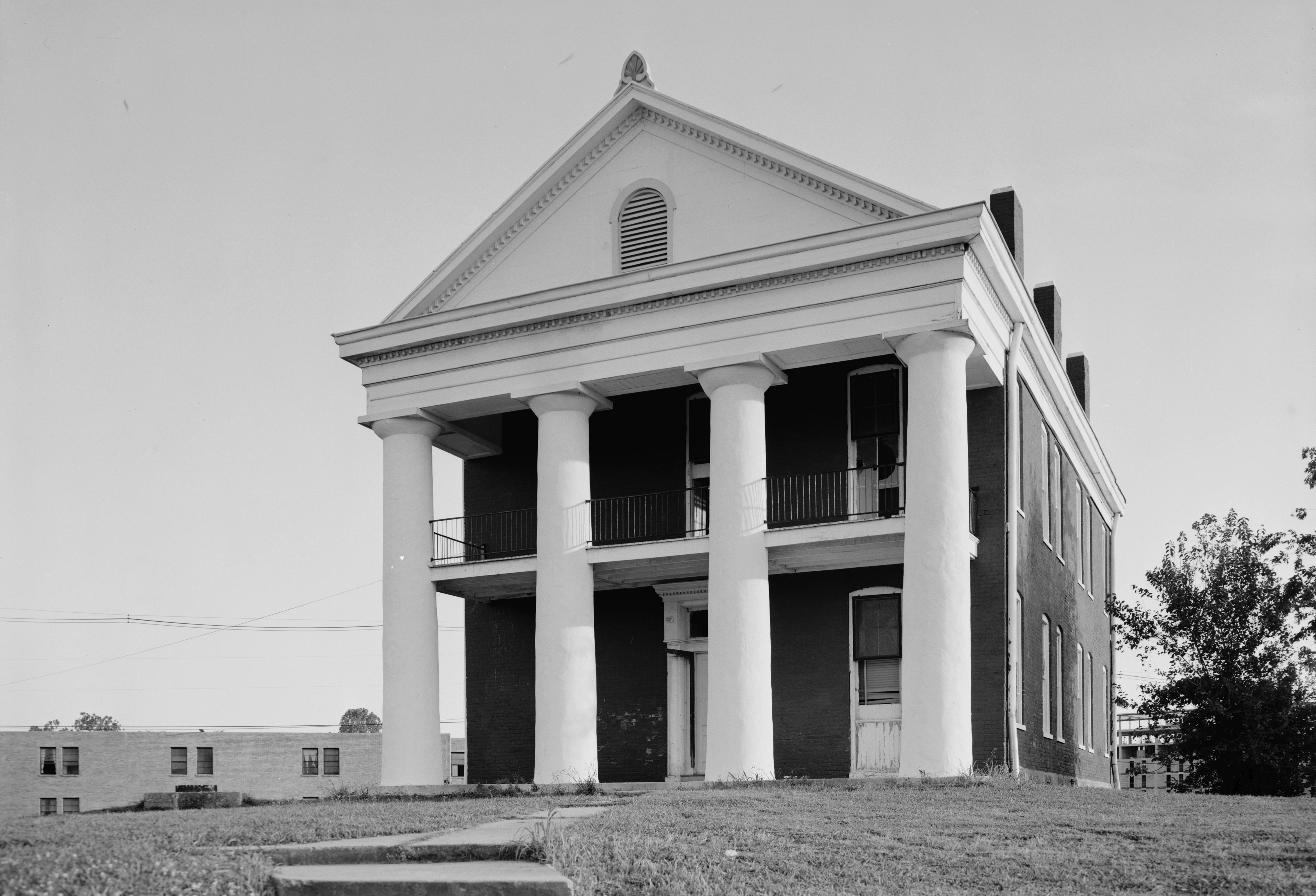
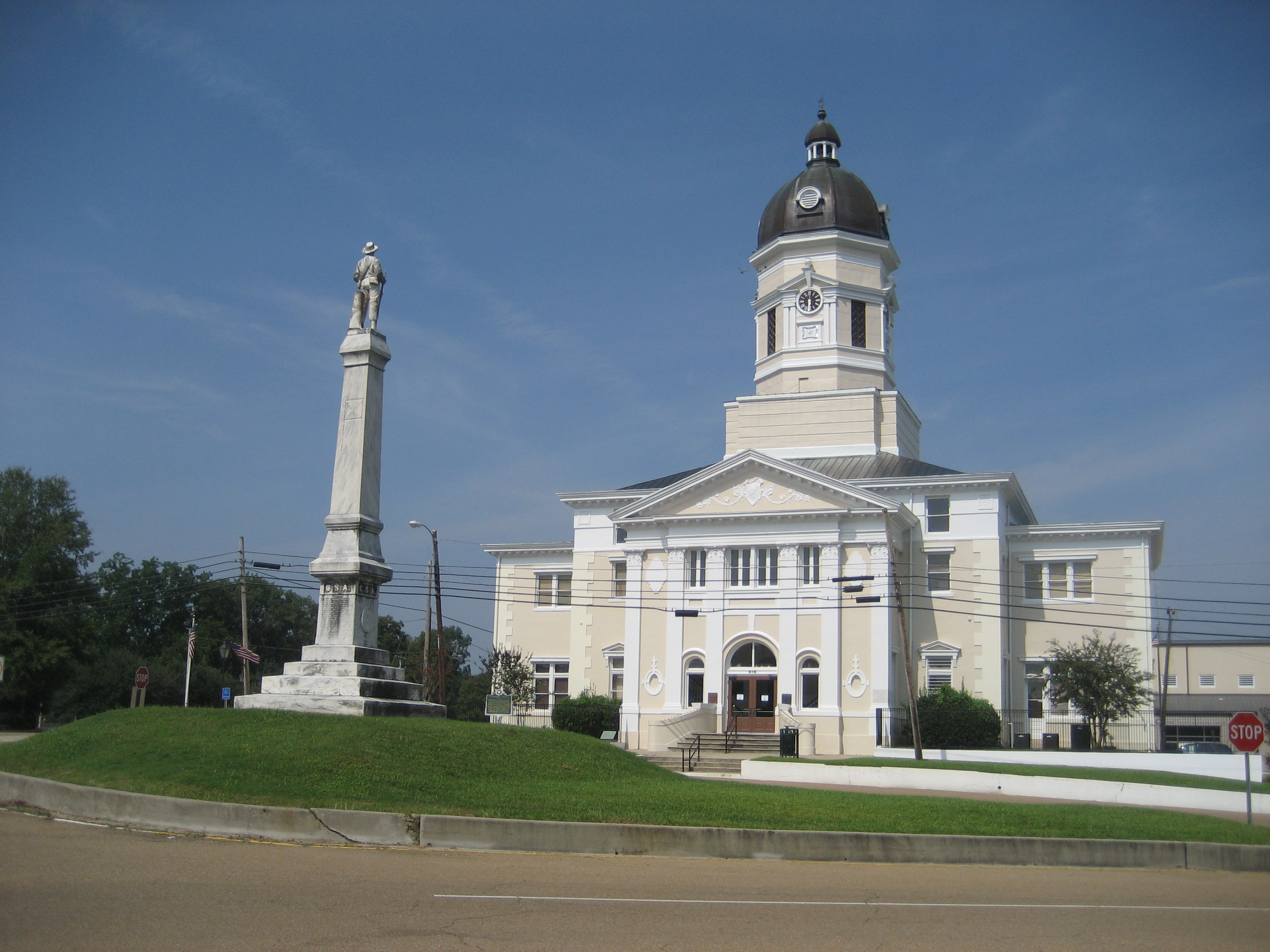
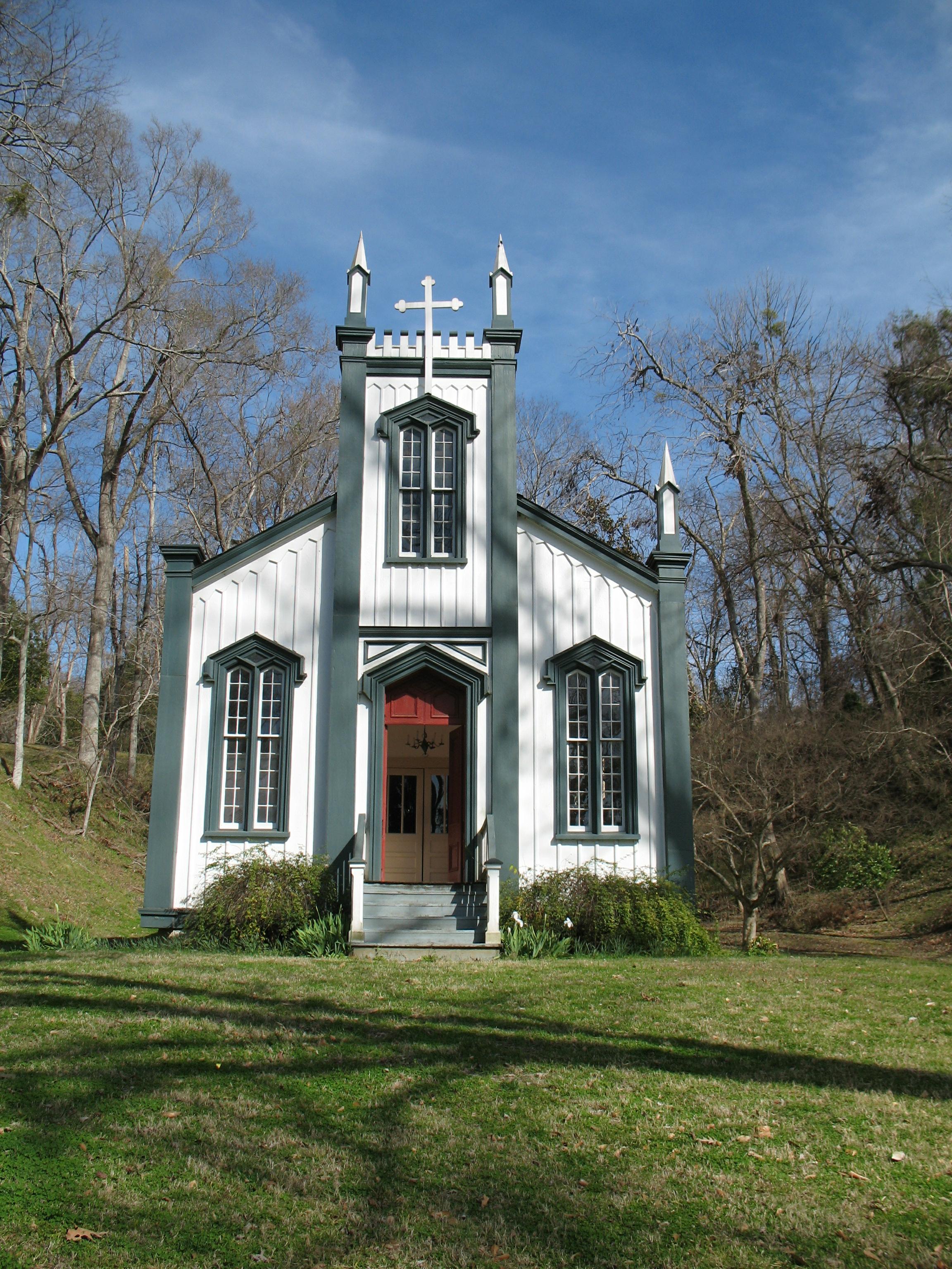
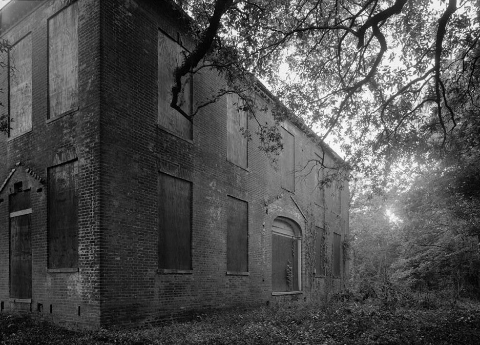
[3] Landmark name [4] Image Date listed Location City or town Summary 1 Alcorn State University Historic District 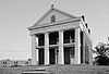
May 20, 1982 Alcorn State University campus
31°52′32″N 91°08′59″W / 31.875556°N 91.149722°WLorman 2 Bayou Pierre Site June 23, 1978 Address Restricted Port Gibson 3 Bethel Presbyterian Church November 28, 1978 North of Alcorn on Mississippi Highway 552
31°54′21″N 91°07′44″W / 31.905833°N 91.128889°WAlcorn 4 Buena Vista Cotton Gin December 27, 1974 Northeast of Port Gibson Port Gibson 5 Building at 801 Chinquepin Street July 22, 1979 801 Chinquepin St.
31°57′18″N 90°58′41″W / 31.955°N 90.978056°WPort Gibson 6 Canemount December 2, 1982 North of Alcorn off Mississippi Highway 552
31°53′40″N 91°07′34″W / 31.894444°N 91.126111°WAlcorn 7 Catholic Cemetery July 22, 1979 700 Coffee St.
31°57′21″N 90°58′43″W / 31.955833°N 90.978611°WPort Gibson 8 Catledge Archeological Site July 15, 1974 Address Restricted Alcorn 9 Centers Creek Mound August 14, 1973 Address Restricted Russum 10 Chamberlain-Hunt Academy Historic District July 22, 1979 Roughly bounded by U.S. Route 61, the city limits, Woodstock St., and Mississippi Highway 547
31°56′43″N 90°59′12″W / 31.945278°N 90.986667°WPort Gibson 11 Claremont July 22, 1979 366 Claremont Dr.
31°56′59″N 90°59′33″W / 31.949722°N 90.9925°WPort Gibson 12 Collina July 22, 1979 Greenwood St. Extension
31°57′15″N 90°59′25″W / 31.954167°N 90.990278°WPort Gibson 13 Drake Hill Historic District July 22, 1979 Drake Hill Rd.
31°57′36″N 90°59′17″W / 31.96°N 90.988056°WPort Gibson 14 Golden West Cemetery July 22, 1979 Rodney Rd.
31°57′26″N 90°59′30″W / 31.957222°N 90.991667°WPort Gibson 15 Grand Gulf Military State Park April 11, 1972 6 miles west of Port Gibson
31°31′58″N 91°03′00″W / 31.532778°N 91.05°WPort Gibson 16 Idlewild July 22, 1979 310 Idlewild Dr.
31°57′00″N 90°59′14″W / 31.95°N 90.987222°WPort Gibson 17 Jewish Cemetery July 22, 1979 900 Marginal St.
31°57′22″N 90°58′45″W / 31.956111°N 90.979167°WPort Gibson 18 Market Street-Suburb Ste. Mary Historic District 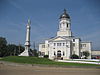
July 22, 1979 Roughly bounded by Orange, Marginal, Greenwood, and Market Sts.
31°57′27″N 90°58′56″W / 31.9575°N 90.982222°WPort Gibson 19 McGregor July 22, 1979 Mississippi Highway 547
31°56′32″N 90°58′37″W / 31.942222°N 90.976944°WPort Gibson 20 John Nelson Site June 13, 1974 Address Restricted Willows 21 Oakland Chapel 
December 27, 1974 Alcorn State University campus
31°52′33″N 91°08′22″W / 31.875833°N 91.139444°WAlcorn 22 Old Brickyard Place July 22, 1979 Anthony St.
31°58′09″N 90°59′29″W / 31.969167°N 90.991389°WPort Gibson 23 Old Depot Restaurant and Lounge July 22, 1979 1202 Market St.
31°57′20″N 90°59′15″W / 31.955556°N 90.9875°WPort Gibson 24 Old Natchez Trace (132-3T) November 7, 1976 Northeast of Port Gibson at milepost 45.8 of the Natchez Trace Parkway
32°00′10″N 90°53′46″W / 32.002778°N 90.896111°WPort Gibson An original segment of the Natchez Trace.[5] 25 Owens Creek Bridge November 16, 1988 Spans Owen Creek on an old county road
32°05′29″N 90°43′45″W / 32.091389°N 90.729167°WUtica 26 Port Gibson Battle Site April 5, 2005 West of Port Gibson Port Gibson 27 Port Gibson Battlefield November 3, 1972 4 miles west of Port Gibson
31°57′28″N 91°01′08″W / 31.957778°N 91.018889°WPort Gibson 28 Port Gibson Oil Works Mill Building July 22, 1979 Anthony St.
31°57′54″N 90°59′25″W / 31.965°N 90.990278°WPort Gibson 29 Sacred Heart Roman Catholic Church 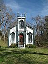
November 23, 1987 Grand Gulf Military Monument Park
32°02′00″N 91°03′11″W / 32.033333°N 91.053056°WPort Gibson 30 Smithfield Site June 9, 1978 Address Restricted Bruinsburg 31 Valley of the Moon Bridge June 8, 2005 Willows Rd. at its crossing of Bayou Pierre, 2 miles southeast of Willows
32°01′03″N 90°52′37″W / 32.0175°N 90.876944°WPort Gibson 32 Van Dorn House 
June 21, 1971 Van Dorn Dr.
31°56′24″N 91°02′15″W / 31.94°N 91.0375°WPort Gibson 33 Widow's Creek Bridge November 16, 1988 Spans Widow's Creek on a county road
31°56′30″N 91°03′03″W / 31.941667°N 91.050833°WPort Gibson 34 Windsor Ruins 
November 23, 1971 12 miles southwest of Port Gibson on Mississippi Highway 552
31°56′27″N 91°08′14″W / 31.940833°N 91.137222°WPort Gibson 35 Windsor Site February 7, 1979 Address Restricted Port Gibson 36 Wintergreen Cemetery July 22, 1979 E. Greenwood St.
31°57′05″N 90°58′45″W / 31.951389°N 90.979167°WPort Gibson See also
- List of National Historic Landmarks in Mississippi
- National Register of Historic Places listings in Mississippi
References
- ^ The latitude and longitude information provided in this table was derived originally from the National Register Information System, which has been found to be fairly accurate for about 99% of listings. For about 1% of NRIS original coordinates, experience has shown that one or both coordinates are typos or otherwise extremely far off; some corrections may have been made. A more subtle problem causes many locations to be off by up to 150 yards, depending on location in the country: most NRIS coordinates were derived from tracing out latitude and longitudes off of USGS topographical quadrant maps created under the North American Datum of 1927, which differs from the current, highly accurate WGS84 GPS system used by Google maps. Chicago is about right, but NRIS longitudes in Washington are higher by about 4.5 seconds, and are lower by about 2.0 seconds in Maine. Latitudes differ by about 1.0 second in Florida. Some locations in this table may have been corrected to current GPS standards.
- ^ "National Register of Historic Places: Weekly List Actions". National Park Service, United States Department of the Interior. Retrieved on November 10, 2011.
- ^ Numbers represent an ordering by significant words. Various colorings, defined here, differentiate National Historic Landmark sites and National Register of Historic Places Districts from other NRHP buildings, structures, sites or objects.
- ^ "National Register Information System". National Register of Historic Places. National Park Service. . http://nrhp.focus.nps.gov/natreg/docs/All_Data.html.
- ^ Old Natchez Trace (No. 132-31) (Alternate names: Path to Choctaw Nation, Chickasaw Trace, Natchez Trace), National Register of Historic Places Inventory Nomination Form for Federal Properties, prepared September 9, 1974; received March 25, 1976; entered November 7, 1976
U.S. National Register of Historic Places Topics Lists by states Alabama • Alaska • Arizona • Arkansas • California • Colorado • Connecticut • Delaware • Florida • Georgia • Hawaii • Idaho • Illinois • Indiana • Iowa • Kansas • Kentucky • Louisiana • Maine • Maryland • Massachusetts • Michigan • Minnesota • Mississippi • Missouri • Montana • Nebraska • Nevada • New Hampshire • New Jersey • New Mexico • New York • North Carolina • North Dakota • Ohio • Oklahoma • Oregon • Pennsylvania • Rhode Island • South Carolina • South Dakota • Tennessee • Texas • Utah • Vermont • Virginia • Washington • West Virginia • Wisconsin • WyomingLists by territories Lists by associated states Other Municipalities and communities of Claiborne County, Mississippi City 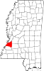
Unincorporated
communitiesCarlisle | Hermanville | Pattison | Russum
Categories:- Claiborne County, Mississippi
- National Register of Historic Places in Mississippi by county
- Buildings and structures in Claiborne County, Mississippi
-


Wikimedia Foundation. 2010.