- National Register of Historic Places listings in Beaverhead County, Montana
-
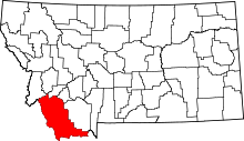 Location of Beaverhead County in Montana
This is a list of the National Register of Historic Places listings in Beaverhead County, Montana. It is intended to be a complete list of the properties and districts on the National Register of Historic Places in Beaverhead County, Montana, United States. The locations of National Register properties and districts for which the latitude and longitude coordinates are included below, may be seen in a Google map.[1]
There are 19 properties and districts listed on the National Register in the county, including 2 National Historic Landmarks.
-
- This National Park Service list is complete through NPS recent listings posted November 10, 2011.[2]
Listings county-wide
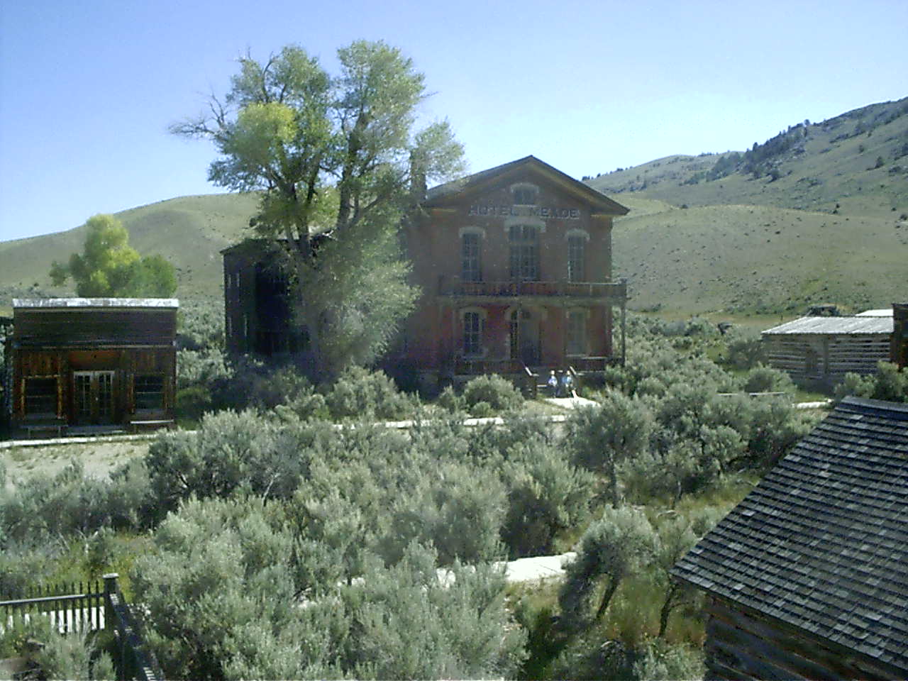
[3] Landmark name Image Date listed Location City or town Summary 1 Bannack Historic District 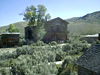
October 15, 1966 22 miles from Dillon off Montana Highway 278
45°08′40″N 112°58′15″W / 45.144444°N 112.970833°WDillon 2 Barrett Hospital January 18, 1985 Chapman and S. Atlantic Sts.
45°12′28″N 112°38′29″W / 45.207778°N 112.641389°WDillon 3 Martin Barrett House January 28, 1987 733 S. Pacific
45°12′39″N 112°38′25″W / 45.210833°N 112.640278°WDillon 4 Big Hole National Battlefield 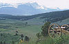
October 15, 1966 12 miles west of Wisdom
45°38′49″N 113°38′56″W / 45.646944°N 113.648889°WWisdom 5 Birch Creek CCC Camp December 7, 1982 North of Dillon on United States Forest Service Road 98
45°24′51″N 112°51′22″W / 45.414167°N 112.856111°WDillon 6 Browne's Bridge January 4, 2010 Browne's Bridge Fishing Access Site
45°32′50″N 112°41′36″W / 45.547311°N 112.693367°WGlen 7 Canyon Creek Charcoal Kilns June 2, 2005 Approximately 5 miles northwest of Glendale on United States Forest Service Road 187
45°40′58″N 112°52′07″W / 45.682778°N 112.868611°WGlendale 8 Clark's Lookout, August 13, 1805 March 10, 1994 Western side of U.S. Route 91, 500 feet north of the Beaverhead River
45°14′06″N 112°37′57″W / 45.235°N 112.6325°WDillon 9 Dillon City Library November 14, 1978 121 S. Idaho St.
45°12′59″N 112°38′13″W / 45.216389°N 112.636944°WDillon 10 Elkhorn-Coolidge Historic District September 12, 2008 United States Forest Service Road 2465, approximately four miles southeast of its junction with Montana Highway 43 Wise River 11 Hecla House August 10, 2005 Approximately 11 miles west of Glendale on Trapper Creek Rd. 188
45°36′13″N 112°55′44″W / 45.603611°N 112.928889°WMelrose 12 Hotel Metlen December 13, 1983 5 S. Railroad Ave.
45°13′06″N 112°37′55″W / 45.218333°N 112.631944°WDillon 13 Lamarche Game Trap September 28, 1976 Address Restricted Dillon 14 Lemhi Pass 
October 15, 1966 West of Grant, in the Beaverhead and Salmon National Forests
44°58′04″N 113°27′23″W / 44.967778°N 113.456389°WGrant Extends into Lemhi County, Idaho 15 Montana State Normal School August 27, 1980 710 S. Atlantic St.
45°12′33″N 112°38′22″W / 45.209167°N 112.639444°WDillon 16 Oregon Short Line Passenger Depot April 19, 1990 S. Montana St.
45°13′00″N 112°38′18″W / 45.216667°N 112.638333°WDillon 17 Sheep Creek Wickiup Cave September 23, 1981 Address Restricted Lima 18 US Post Office-Dillon Main March 14, 1986 117 S. Idaho St.
45°12′57″N 112°38′15″W / 45.215833°N 112.6375°WDillon 19 Van Camp-Tash Ranch April 16, 2008 1200 Montana Highway 278
45°10′51″N 112°42′01″W / 45.180972°N 112.700153°WDillon See also
- List of National Historic Landmarks in Montana
- National Register of Historic Places listings in Montana
References
- ^ The latitude and longitude information provided in this table was derived originally from the National Register Information System, which has been found to be fairly accurate for about 99% of listings. For about 1% of NRIS original coordinates, experience has shown that one or both coordinates are typos or otherwise extremely far off; some corrections may have been made. A more subtle problem causes many locations to be off by up to 150 yards, depending on location in the country: most NRIS coordinates were derived from tracing out latitude and longitudes off of USGS topographical quadrant maps created under North American Datum of 1927, which differs from the current, highly accurate GPS system used by Google maps. Chicago is about right, but NRIS longitudes in Washington are higher by about 4.5 seconds, and are lower by about 2.0 seconds in Maine. Latitudes differ by about 1.0 second in Florida. Some locations in this table may have been corrected to current GPS standards.
- ^ "National Register of Historic Places: Weekly List Actions". National Park Service, United States Department of the Interior. Retrieved on November 10, 2011.
- ^ Numbers represent an ordering by significant words. Various colorings, defined here, differentiate National Historic Landmark sites and National Register of Historic Places Districts from other NRHP buildings, structures, sites or objects.
U.S. National Register of Historic Places Topics Lists by states Alabama • Alaska • Arizona • Arkansas • California • Colorado • Connecticut • Delaware • Florida • Georgia • Hawaii • Idaho • Illinois • Indiana • Iowa • Kansas • Kentucky • Louisiana • Maine • Maryland • Massachusetts • Michigan • Minnesota • Mississippi • Missouri • Montana • Nebraska • Nevada • New Hampshire • New Jersey • New Mexico • New York • North Carolina • North Dakota • Ohio • Oklahoma • Oregon • Pennsylvania • Rhode Island • South Carolina • South Dakota • Tennessee • Texas • Utah • Vermont • Virginia • Washington • West Virginia • Wisconsin • WyomingLists by territories Lists by associated states Other  Category:National Register of Historic Places •
  Portal:National Register of Historic Places
Municipalities and communities of Beaverhead County, Montana County seat: Dillon City 
Town CDP Unincorporated
communitiesCategories:- National Register of Historic Places in Montana by county
- Beaverhead County, Montana
-


Wikimedia Foundation. 2010.