- West Chinnock
-
Coordinates: 50°55′12″N 2°45′30″W / 50.9200°N 2.7583°W
West Chinnock 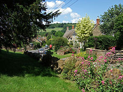

 West Chinnock
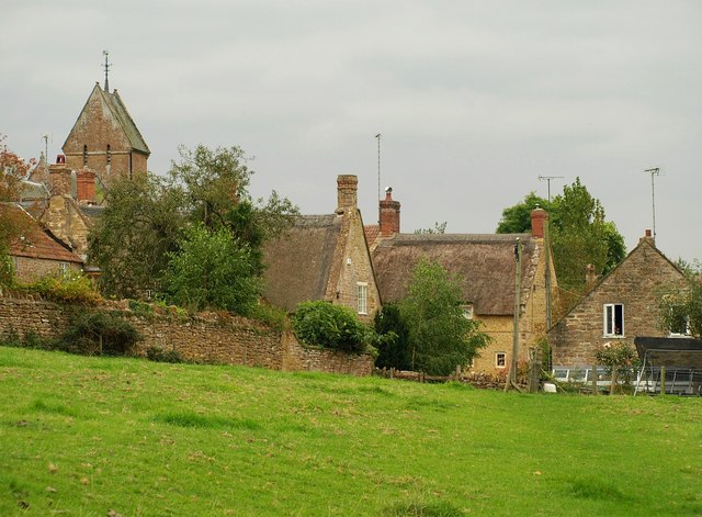
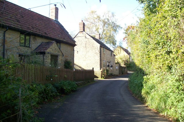
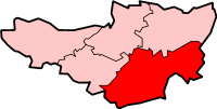
West Chinnock shown within SomersetPopulation 564 [1] OS grid reference ST467136 Parish West and Middle Chinnock District South Somerset Shire county Somerset Region South West Country England Sovereign state United Kingdom Post town CREWKERNE Postcode district TA18 Dialling code 01935 Police Avon and Somerset Fire Devon and Somerset Ambulance South Western EU Parliament South West England UK Parliament Yeovil List of places: UK • England • Somerset West Chinnock is a village in Somerset, England, situated near the A356 road 4 miles (6.4 km) north east of Crewkerne in the South Somerset district. The village forms the civil parish of West and Middle Chinnock with the neighbouring village of Middle Chinnock. The parish has a population of 564 (2002 estimate).[1]
Middle Chinnock was a separate civil parish until 1884.[2] It was then absorbed into the parish of West Chinnock. In 2003 the parish was renamed West and Middle Chinnock.[3]
Contents
History
The origin of the name Chinnock is uncertain. It may be derived from the Old English cinu meaning ravine or cinn meaning a chin shaped hill, with the addition of ock meaning little.[4] An alternative derivation may be an old hill-name of Celtic origin.[5]
A Roman burial was found at Higher Farm, Middle Chinnock.[4]
The Chinnocks were held as one estate in Saxon times by Wynflaed under Shaftesbury Abbey but by the time of the Norman Conquest in 1066 West Chinnock and Middle Chinnock had both been separated.
Governance
The parish council has responsibility for local issues, including setting an annual precept (local rate) to cover the council’s operating costs and producing annual accounts for public scrutiny. The parish council evaluates local planning applications and works with the local police, district council officers, and neighbourhood watch groups on matters of crime, security, and traffic. The parish council's role also includes initiating projects for the maintenance and repair of parish facilities, as well as consulting with the district council on the maintenance, repair, and improvement of highways, drainage, footpaths, public transport, and street cleaning. Conservation matters (including trees and listed buildings) and environmental issues are also the responsibility of the council.
The village falls within the Non-metropolitan district of South Somerset, which was formed on April 1, 1974 under the Local Government Act 1972, having previously been part of Yeovil Rural District.[6] The district council is responsible for local planning and building control, local roads, council housing, environmental health, markets and fairs, refuse collection and recycling, cemeteries and crematoria, leisure services, parks, and tourism.
Somerset County Council is responsible for running the largest and most expensive local services such as education, social services, libraries, main roads, public transport, policing and fire services, trading standards, waste disposal and strategic planning.
It is also part of the Yeovil county constituency represented in the House of Commons of the Parliament of the United Kingdom. It elects one Member of Parliament (MP) by the first past the post system of election, and part of the South West England constituency of the European Parliament which elects seven MEPs using the d'Hondt method of party-list proportional representation.
Landmarks
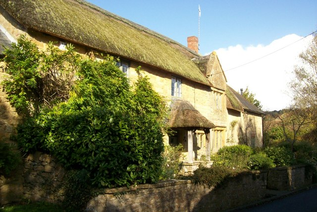
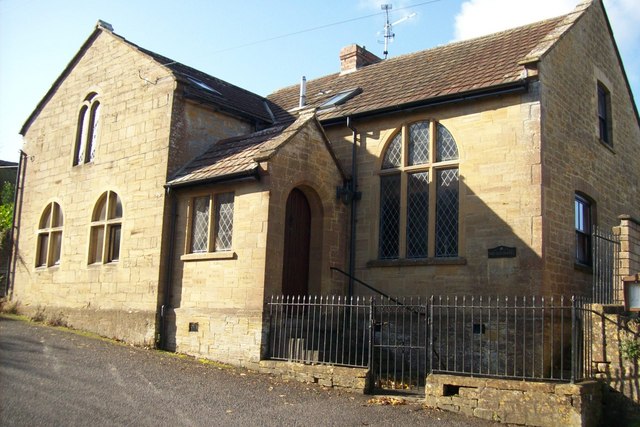
The Manor Farmhouse in West Chinnock was built in the late 16th or early 17th century.[7]
Religious sites
Ecclesiastically the parishes of West Chinnock and Middle Chinnock are now part of the united benefice of Norton-sub-Hamdon, West Chinnock, Chiselborough and Middle Chinnock.[8]
The parish Church of Saint Margaret in Middle Chinnock has 12th century origins. The tower and south porch were built in the 14th or 15th centuries with most of the remainder of the building being rebuilt in phases during the 19th century. It has been designated as a Grade II* listed building.[9]
The parish Church of Saint Mary in West Chinnock has 13th century origins but was totally rebuilt in the 19th century.[10]
Notable residents
- Victor James Marks the former Somerset CCC and England international cricketer was born in Middle Chinnock in 1955.
Gallery
References
- ^ a b "South Somerset population estimates for 2002". Somerset County Council. http://www.webcitation.org/5lRyCVNCk. Retrieved 27 December 2009.
- ^ Vision of Britain website: Middle Chinnock
- ^ "District Council notices of the change of name of a parish 2003" (PDF). Office of the Deputy Prime Minister. http://www.communities.gov.uk/documents/localgovernment/pdf/151840.pdf. Retrieved 2011-05-07.
- ^ a b Bush, Robin (1994). Somerset: The Complete Guide. Dovecote Press. pp. 91. ISBN 1874336261.
- ^ Mills, A.D.; Room, A. (2003). A Dictionary of British Place-Names. Oxford: Oxford University Press. Chinnock. ISBN 0198527586.
- ^ A Vision of Britain Through Time : Yeovil Rural District
- ^ "Manor Farmhouse". Images of England. English Heritage. http://www.imagesofengland.org.uk/Details/Default.aspx?id=263760. Retrieved 2009-02-08.
- ^ Diocese of Bath and Wells website
- ^ "Church of Saint Margaret". Images of England. English Heritage. http://www.imagesofengland.org.uk/Details/Default.aspx?id=263751. Retrieved 2009-02-08.
- ^ "Church of Saint Mary, West Chinnock". Images of England. English Heritage. http://www.imagesofengland.org.uk/Details/Default.aspx?id=263763. Retrieved 2009-02-08.
External links
 Media related to The Chinnocks at Wikimedia CommonsCategories:
- Villages in South Somerset


Wikimedia Foundation. 2010.