- Derby Wharf Light
-
Derby Wharf Light 
US Coast Guard photo Location Salem, Massachusetts Coordinates 42°30′59.6″N 70°53′0.9″W / 42.516556°N 70.883583°WCoordinates: 42°30′59.6″N 70°53′0.9″W / 42.516556°N 70.883583°W Year first constructed 1871 Year first lit 1871 Automated 1970s Deactivated 1977 - 1983 Construction Brick Tower shape Square Markings / pattern White Black Focal height 25ft (8m) Original lens 5th order Fresnel lens 1871-1906
4th order 1906-1910
6th order 1910-1970sCurrent lens Solar-powered optic Range 4 nm Characteristic Fl R 6sec Fog signal none Admiralty number J0296 ARLHS number USA-224 USCG number 1-10129 Derby Wharf Light Station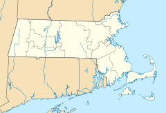

Location: Salem, Massachusetts Coordinates: 42°30′59.6″N 70°53′0.9″W / 42.516556°N 70.883583°WCoordinates: 42°30′59.6″N 70°53′0.9″W / 42.516556°N 70.883583°W Built: 1877 Architect: Unknown Governing body: National Park Service MPS: Lighthouses of Massachusetts TR NRHP Reference#: 87001466
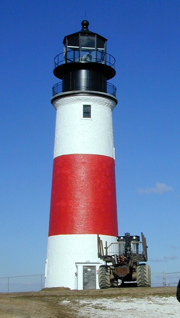
[3]Added to NRHP: June 15, 1987 Derby Wharf Light Station is a historic lighthouse on Derby Wharf in Salem, Massachusetts that is within the Salem Maritime National Historic Site.
It was built in 1871 and added to the National Register of Historic Places in 1987.[2][3] The United States Coast Guard Light List[1] description is "White square tower. Maintained by the U.S. Park Service". The actual light is 25 feet (8 m) above Mean High Water. Its red light is visible for 4 nautical miles (7.4 km).
History
References
- ^ a b (PDF) Light List, Volume I, Atlantic Coast, St. Croix River, Maine to Shrewsbury River, New Jersey. Light List. United States Coast Guard. 2010. p. 83. http://www.navcen.uscg.gov/pdf/lightLists/LightList%20V1.pdf.
- ^ a b "Historic Light Station Information and Photography: Massachusetts". United States Coast Guard Historian's Office. http://www.uscg.mil/history/weblighthouses/LHMA.asp.
- ^ a b "National Register Information System". National Register of Historic Places. National Park Service. 2008-04-15. http://nrhp.focus.nps.gov/natreg/docs/All_Data.html.
U.S. National Register of Historic Places Topics Lists by states Alabama • Alaska • Arizona • Arkansas • California • Colorado • Connecticut • Delaware • Florida • Georgia • Hawaii • Idaho • Illinois • Indiana • Iowa • Kansas • Kentucky • Louisiana • Maine • Maryland • Massachusetts • Michigan • Minnesota • Mississippi • Missouri • Montana • Nebraska • Nevada • New Hampshire • New Jersey • New Mexico • New York • North Carolina • North Dakota • Ohio • Oklahoma • Oregon • Pennsylvania • Rhode Island • South Carolina • South Dakota • Tennessee • Texas • Utah • Vermont • Virginia • Washington • West Virginia • Wisconsin • WyomingLists by territories Lists by associated states Other Categories:- Buildings and structures in Salem, Massachusetts
- Lighthouses on the National Register of Historic Places in Massachusetts
- Buildings and structures completed in 1871
- Lighthouses in Essex County, Massachusetts
- Essex County, Massachusetts Registered Historic Place stubs
- United States lighthouse stubs

Wikimedia Foundation. 2010.