- National Register of Historic Places listings in Brown County, Wisconsin
-
Buildings, sites, districts, and objects in Brown County listed on the National Register of Historic Places
-
- This National Park Service list is complete through NPS recent listings posted November 10, 2011.[1]
This document is intended to provide a comprehensive listing of entries in the National Register of Historic Places that are located in Brown County, Wisconsin. The locations of National Register properties, the latitude and longitude coordinates of which are included below, may be seen in a Google map.[2]
Contents
Current listings
[3] Landmark name [4] Image Date listed Location City or town Summary 1 Astor Historic District February 27, 1980 WI 57
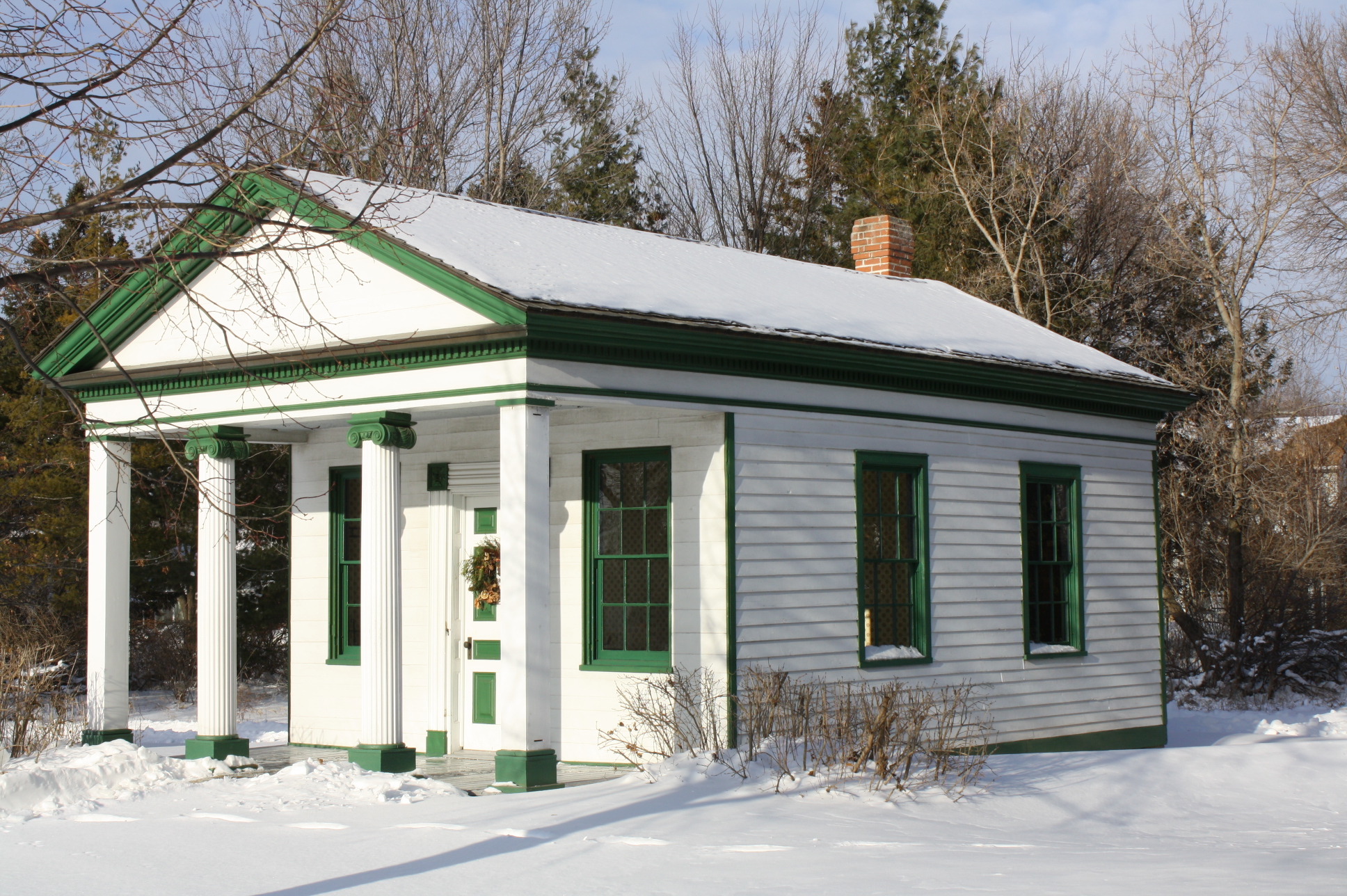
44°30′12″N 88°01′05″W / 44.503333°N 88.018056°WGreen Bay 2 Baird Law Office 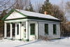
October 15, 1970 Heritage Hill State Park, 2640 South Webster Avenue
44°28′26″N 88°01′49″W / 44.473889°N 88.030278°WGreen Bay Greek Revival law office built for Henry S. Baird, "Father of the Wisconsin Bar", in the early 1830's. Moved to present site in 1960. 3 Broadway-Dousman Historic District March 12, 1999 Part of 200 and 300 block N. Broadway, 300 and 400 block Dousman St, part of 300 block N. Chestnut St.
44°31′17″N 88°01′16″W / 44.521389°N 88.021111°WGreen Bay 4 Broadway-Walnut Historic District July 8, 1999 100 N and part of 100 S Block Broadway;100 N Block Pearl St.;400 Block W. Walnut St.
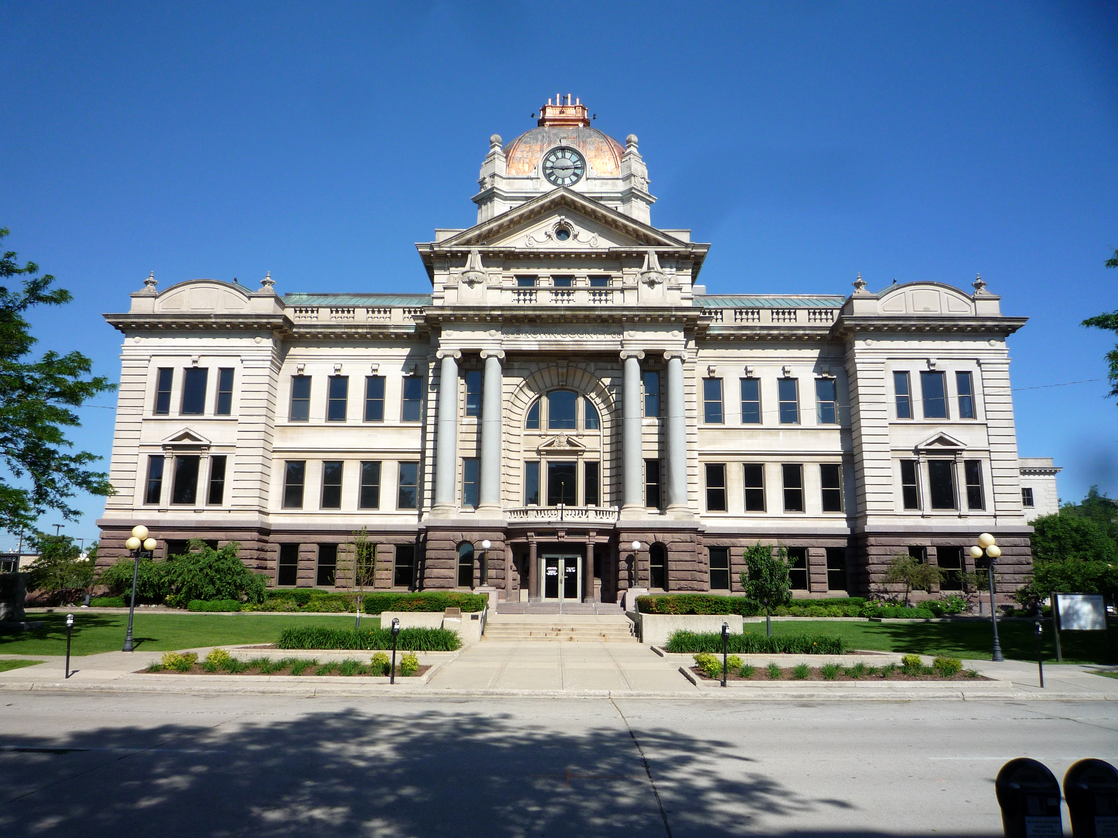
44°31′08″N 88°01′18″W / 44.518889°N 88.021667°WGreen Bay 5 Brown County Courthouse 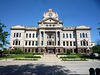
January 1, 1976 100 S. Jefferson St.
44°30′46″N 88°00′52″W / 44.512778°N 88.014444°WGreen Bay 6 Chicago and North Western Railway Passenger Depot December 30, 1999 202 Dousman St.
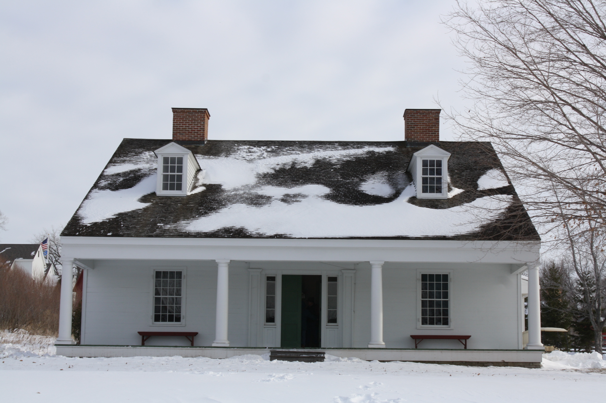
44°31′17″N 88°01′06″W / 44.521389°N 88.018333°WGreen Bay 7 Cotton House 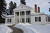
April 28, 1970 2640 South Webster Ave.
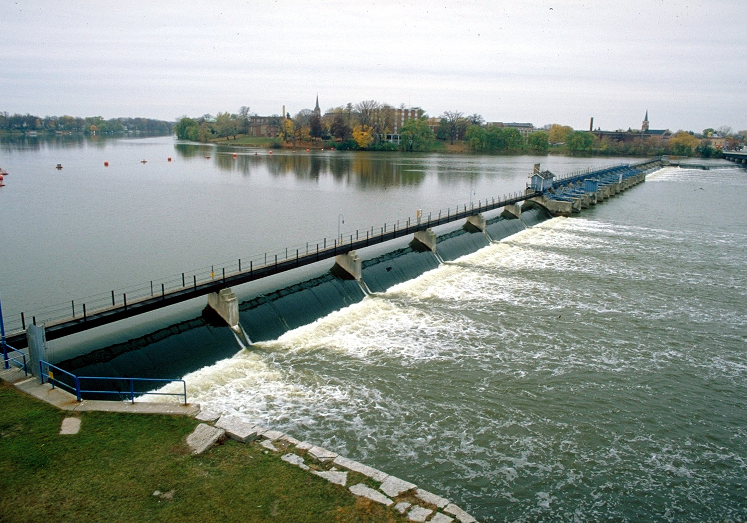
44°28′26″N 88°01′49″W / 44.473889°N 88.030278°WGreen Bay at Heritage Hill State Park 8 De Pere Lock and Dam Historic District 
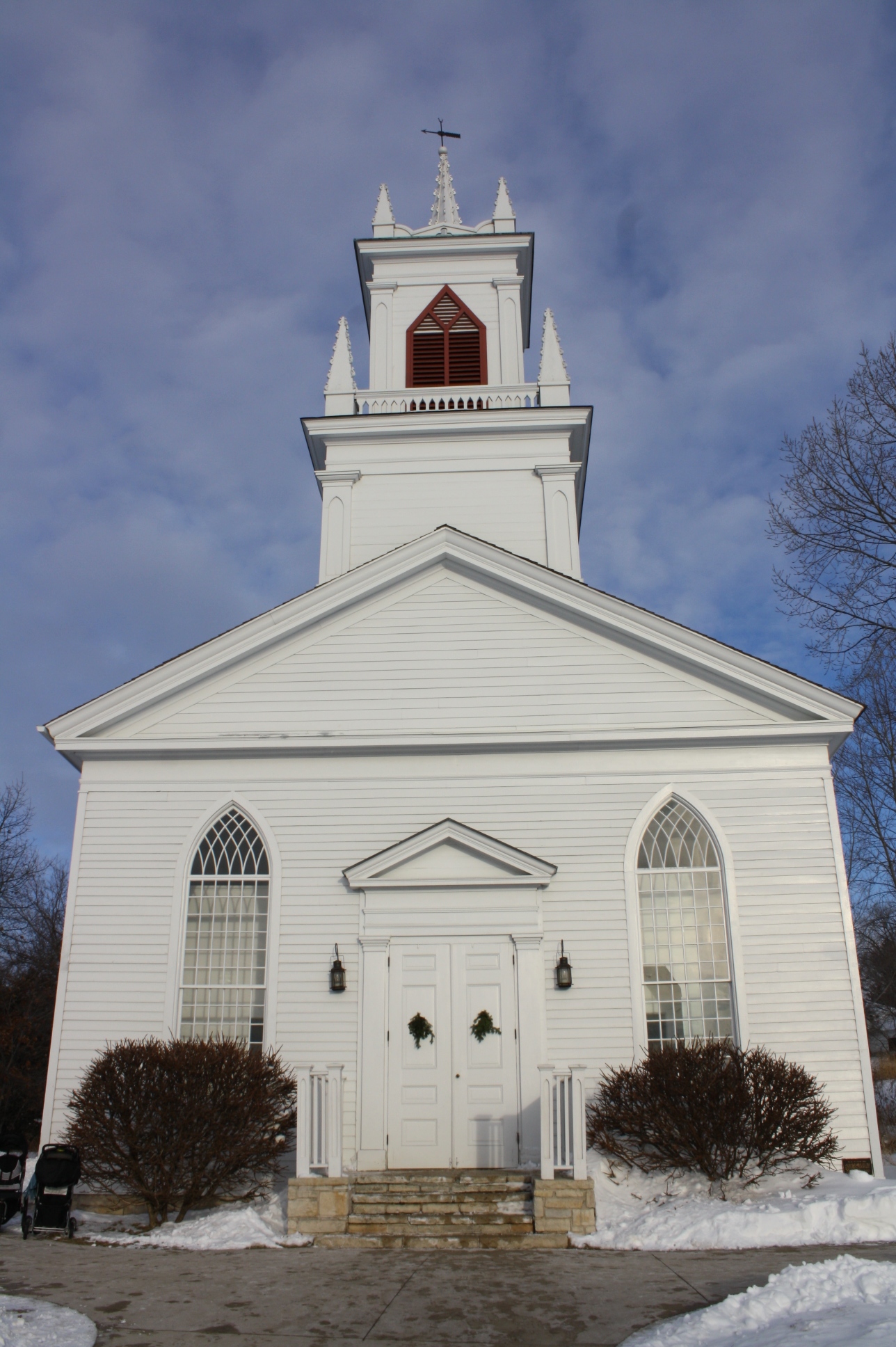
December 7, 1993 Fox R. at James St.
44°26′58″N 88°03′47″W / 44.449444°N 88.063056°WDe Pere 9 De Pere Public Library 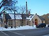
October 4, 2002 380 Main Ave.
44°26′59″N 88°04′13″W / 44.449722°N 88.070278°WDe Pere 10 Joel S. Fisk House August 11, 1978 123 N. Oakland Ave.
44°31′08″N 88°01′36″W / 44.518889°N 88.026667°WGreen Bay 11 Fort Howard Hospital 
July 22, 1979 2640 S. Webster Ave.
44°28′26″N 88°02′04″W / 44.473889°N 88.034444°WGreen Bay at Heritage Hill State Park 12 Fort Howard Officers' Quarters 
July 22, 1979 2640 S. Webster Ave.
44°28′26″N 88°02′04″W / 44.473889°N 88.034444°WGreen Bay at Heritage Hill State Park 13 Fort Howard Ward Building 
July 22, 1979 2640 S. Webster Ave.
44°28′26″N 88°02′04″W / 44.473889°N 88.034444°WGreen Bay at Heritage Hill State Park 14 Fox Theatre March 24, 2000 117 S. Washington St.
44°30′49″N 88°00′59″W / 44.513611°N 88.016389°WGreen Bay 15 Grassy Island Range Lights 
January 12, 2005 100 Bay Beach Rd.
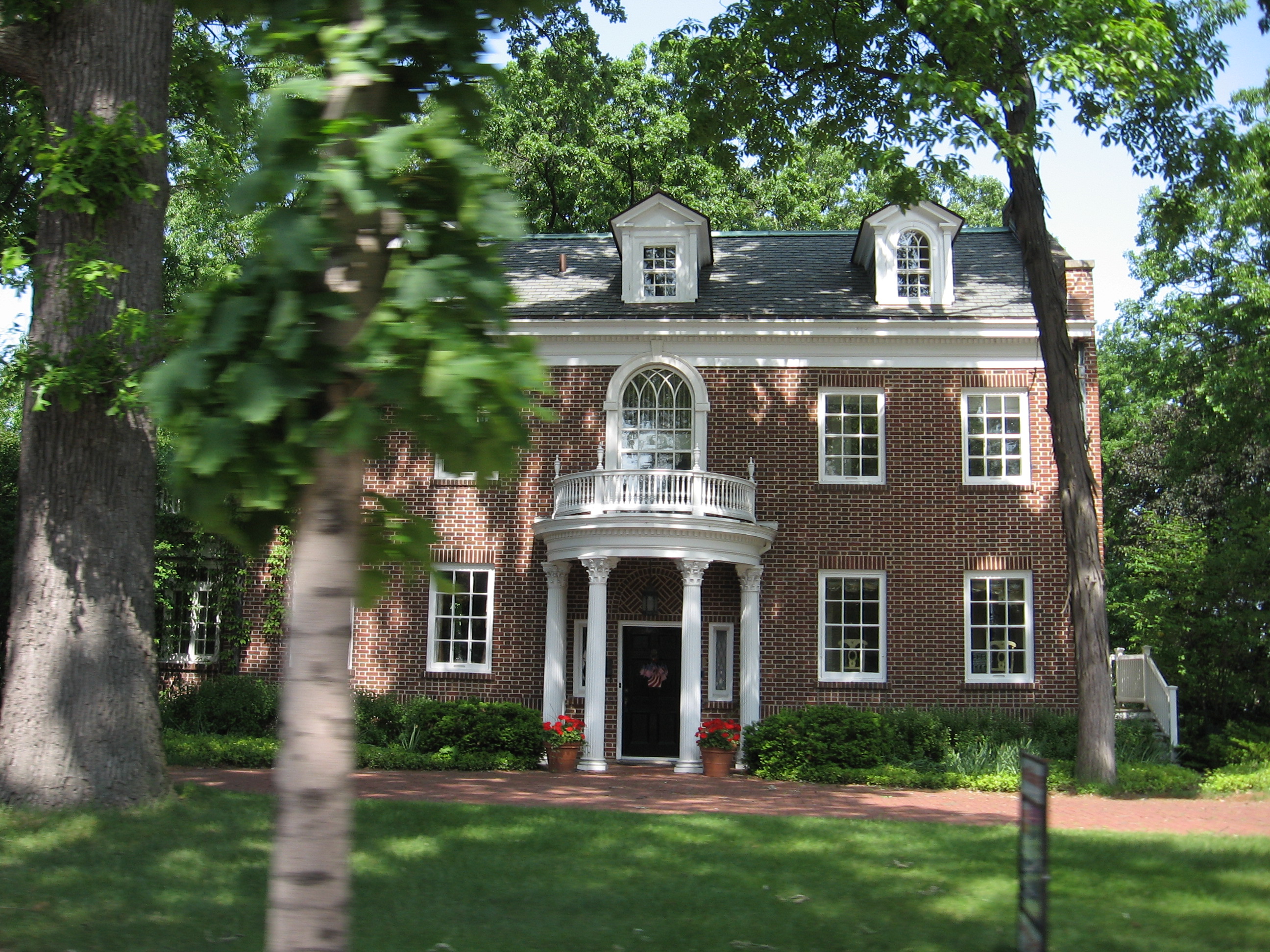
44°32′11″N 88°00′18″W / 44.536389°N 88.005°WGreen Bay 16 Otto and Hilda Gretzinger House October 13, 2011 922 N. Broadway
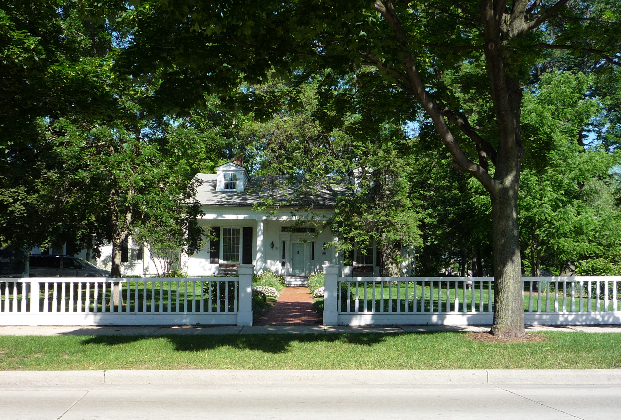
44°27′28″N 88°03′22″W / 44.457778°N 88.056111°WDe Pere 17 Hazelwood 
April 28, 1970 1008 S. Monroe Ave.
44°30′03″N 88°01′08″W / 44.500833°N 88.018889°WGreen Bay 18 Henry House January 31, 1980 1749 Riverside Dr.
44°37′52″N 88°03′11″W / 44.631111°N 88.053056°WSuamico 19 Holy Cross Church and Convent June 28, 2001 3001 Bay Settlement Rd.
44°33′20″N 87°53′27″W / 44.555556°N 87.890833°WGreen Bay 20 Kellogg Public Library and Neville Public Museum June 9, 1981 125 S. Jefferson St.
44°30′44″N 88°00′49″W / 44.512222°N 88.013611°WGreen Bay 21 C. A. Lawton Company 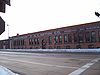
January 30, 1992 233 N. Broadway
44°27′02″N 88°03′39″W / 44.450556°N 88.060833°WDe Pere 22 Little Kaukauna Lock and Dam Historic District December 7, 1993 Fox R. at Mill Rd.
44°22′42″N 88°07′23″W / 44.378333°N 88.123056°WDe Pere 23 Main Avenue Historic District February 3, 2010 301-377 (odd only) Main Ave.
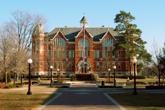
44°26′51″N 88°04′10″W / 44.447461°N 88.069469°WDe Pere 24 Main Hall 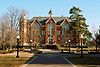
October 28, 1988 Third St. and College Ave.
44°26′39″N 88°03′59″W / 44.444167°N 88.066389°WDe Pere 25 Milwaukee Road Passenger Depot August 16, 1996 400 S. Washington St.
44°30′38″N 88°01′08″W / 44.510556°N 88.018889°WGreen Bay 26 Mueller-Wright House March 29, 1978 Washington and Mueller Sts.
44°19′35″N 88°09′43″W / 44.326389°N 88.161944°WWrightstown 27 John T. and Margaret Nichols House September 1, 2005 128 Taft Ave.
44°28′09″N 88°02′07″W / 44.469167°N 88.035278°WAllouez 28 North Broadway Street Historic District 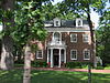
September 8, 1983 Broadway, Ridgeway Blvd., Morris, Fulton, Franklin, Cass, Front, and Wisconsin Sts.
44°27′14″N 88°03′37″W / 44.453889°N 88.060278°WDe Pere 29 North Michigan Street-North Superior Street Historic District July 19, 2007 Roughly bounded by Ridgeview Blvd., North Wisconsin, North Huron & George Sts.
44°27′08″N 88°03′25″W / 44.45235°N 88.056919°WDe Pere 30 Oakland-Dousman Historic District April 27, 1988 Roughly bounded by Dousman St., Oakland Ave., Shawano Ave., Antoinette and Francis Sts.
44°31′12″N 88°01′30″W / 44.52°N 88.025°WGreen Bay 31 Randall Avenue Historic District April 24, 2007 Generally bounded by Ridgeway Blvd., Oakdale Ave., and Glenwood Ave.
44°27′23″N 88°03′15″W / 44.456308°N 88.054281°WDe Pere 32 Angeline Champeau Rioux House October 28, 1994 2183 Glendale Ave.
44°33′42″N 88°04′07″W / 44.561667°N 88.068611°WHoward 33 Rockwood Lodge Barn and Pigsty May 5, 2004 5632 Sturgeon Bay Rd.
44°37′57″N 87°48′11″W / 44.6325°N 87.803056°WGreen Bay 34 J.B. Smith House and Granary May 12, 2004 5121 Gravel Pit Rd.
44°37′48″N 87°48′16″W / 44.63°N 87.804444°WGreen Bay 35 South Broadway Historic District January 21, 2010 101-129 (odd only) S. Broadway
44°26′54″N 88°03′36″W / 44.4484°N 88.060094°WDe Pere 36 Steckart and Falck Double Block October 20, 2011 112-118 N. Broadway
44°26′58″N 88°03′38″W / 44.449444°N 88.060556°WDe Pere 37 Tank Cottage 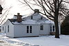
April 28, 1970 2640 South Webster Avenue
44°30′39″N 88°02′05″W / 44.510833°N 88.034722°WGreen Bay at Heritage Hill State Park 38 Union House Hotel 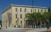
November 26, 2003 200 North Broadway
44°27′09″N 88°03′36″W / 44.4525°N 88.06°WDe Pere 39 Wisconsin State Reformatory 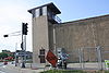
May 3, 1990 SE corner of Riverside Dr. and WI 172
44°28′14″N 88°02′12″W / 44.470556°N 88.036667°WAllouez Arriving soon!
A property listed on the NRHP in another state is being moved into this county. It is shown as listed within Shelby County, Kentucky.
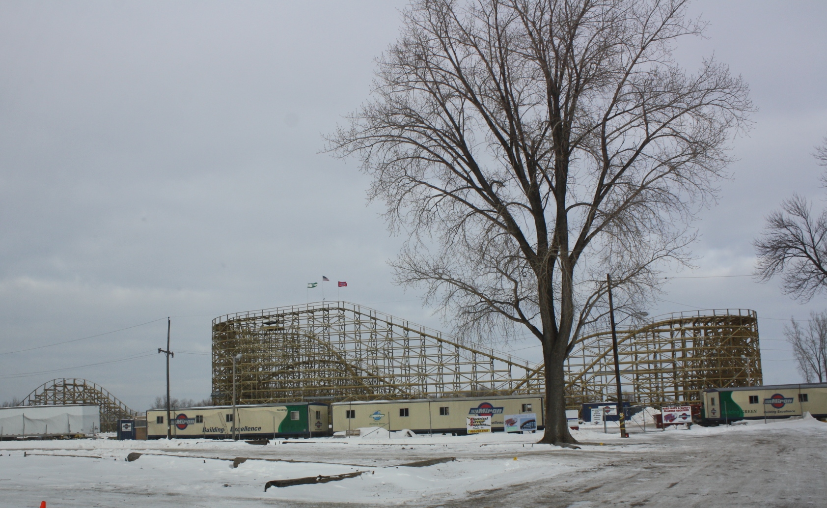
Landmark name Image Dates Location City or Town Summary 1 Zippin Pippin 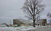
November 8, 2007 Bay Beach Amusement Park
44°31′51″N 87°58′51″W / 44.530917°N 87.980833°WGreen Bay moving from Memphis in Shelby County, Tennessee by May 2011 Formerly listed
Landmark name Image Dates Location City or Town Summary 1 East Moravian Church 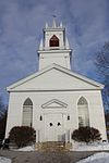
19__? (listed)
1983? (delisted)518 Moravian St., Green Bay, moved to Heritage Hill State Park De Pere 2 Kaap's Restaurant 19__? (listed)
June 28, 2001 (delisted)212 - 214 N. Washington St Green Bay See also
References
- ^ "National Register of Historic Places: Weekly List Actions". National Park Service, United States Department of the Interior. Retrieved on November 10, 2011.
- ^ The latitude and longitude information provided is primarily from the National Register Information System, and has been found to be fairly accurate for about 99% of listings. For 1%, the location info may be way off. We seek to correct the coordinate information wherever it is found to be erroneous. Please leave a note in the Discussion page for this article if you believe any specific location is incorrect.
- ^ Numbers represent an ordering by significant words. Various colorings, defined here, differentiate National Historic Landmark sites and National Register of Historic Places Districts from other NRHP buildings, structures, sites or objects.
- ^ "National Register Information System". National Register of Historic Places. National Park Service. . http://nrhp.focus.nps.gov/natreg/docs/All_Data.html.
U.S. National Register of Historic Places Topics Lists by states Alabama • Alaska • Arizona • Arkansas • California • Colorado • Connecticut • Delaware • Florida • Georgia • Hawaii • Idaho • Illinois • Indiana • Iowa • Kansas • Kentucky • Louisiana • Maine • Maryland • Massachusetts • Michigan • Minnesota • Mississippi • Missouri • Montana • Nebraska • Nevada • New Hampshire • New Jersey • New Mexico • New York • North Carolina • North Dakota • Ohio • Oklahoma • Oregon • Pennsylvania • Rhode Island • South Carolina • South Dakota • Tennessee • Texas • Utah • Vermont • Virginia • Washington • West Virginia • Wisconsin • WyomingLists by territories Lists by associated states Other  Category:National Register of Historic Places •
  Portal:National Register of Historic Places
Municipalities and communities of Brown County, Wisconsin County seat: Green Bay Cities 
Villages Allouez | Ashwaubenon | Bellevue | Denmark | Hobart | Howard‡ | Pulaski‡ | Suamico | Wrightstown‡
Towns Eaton | Glenmore | Green Bay | Holland | Humboldt | Lawrence | Ledgeview | Morrison | New Denmark | Pittsfield | Rockland | Scott | Wrightstown
CDPs Unincorporated
communitiesAnston | Askeaton | Bay Settlement | Benderville | Champion | Fontenoy | Henrysville | Hollandtown | Humboldt | Kolb | Kunesh | Langes Corners | Lark | Little Rapids | Morrison | New Franken | Pine Grove | Pittsfield‡ | Poland | Red Banks | Shirley | Sugar Bush | Wayside | Wequiock
Indian reservation Footnotes ‡This populated place also has portions in an adjacent county or counties
Categories:- Brown County, Wisconsin
- Lists of historic places in Wisconsin
-


Wikimedia Foundation. 2010.