- National Register of Historic Places listings in Winnebago County, Wisconsin
-
 Location of Winnebago County in Wisconsin
This is a list of the National Register of Historic Places listings in Winnebago County, Wisconsin.
This is intended to be a complete list of the properties and districts on the National Register of Historic Places in Winnebago County, Wisconsin, United States. The locations of National Register properties and districts for which the latitude and longitude coordinates are included below, may be seen in a Google map.[1]
There are 84 properties and districts listed on the National Register in the county.[2] Several of these properties in Oshkosh were used in filming the 2009 movie Public Enemies.[3]
-
- This National Park Service list is complete through NPS recent listings posted November 10, 2011.[4]
Current listings
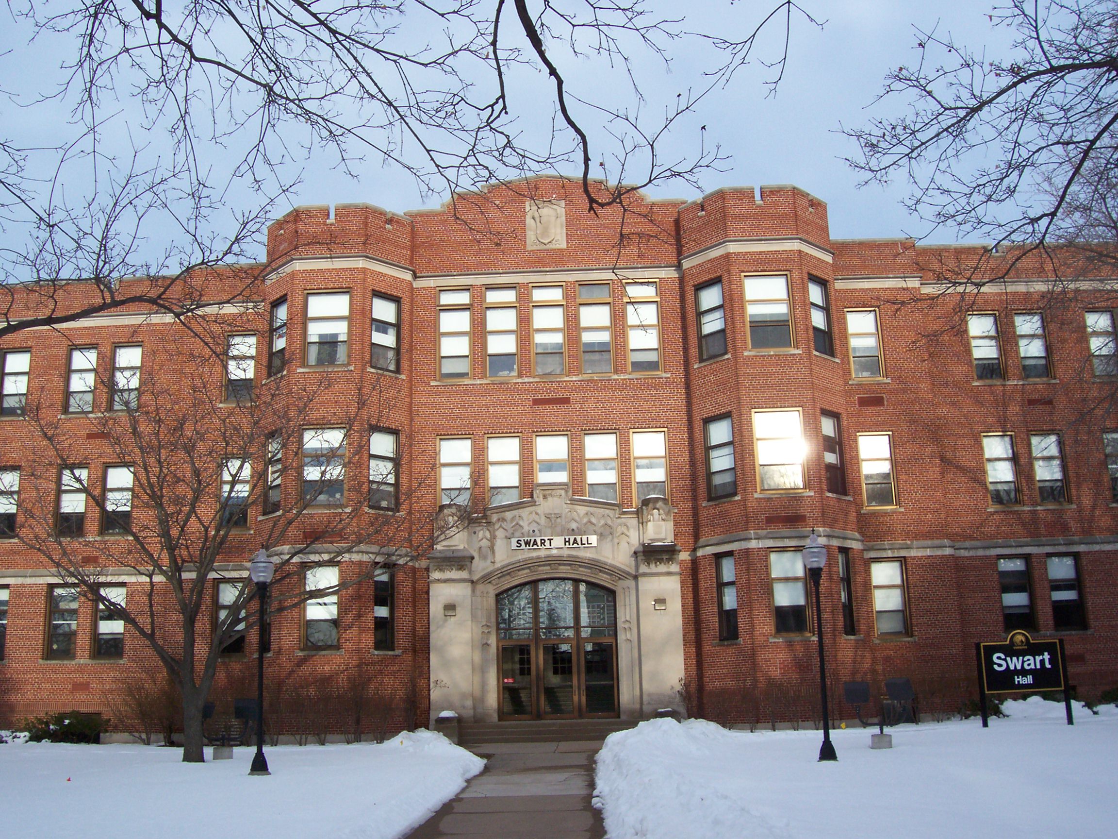
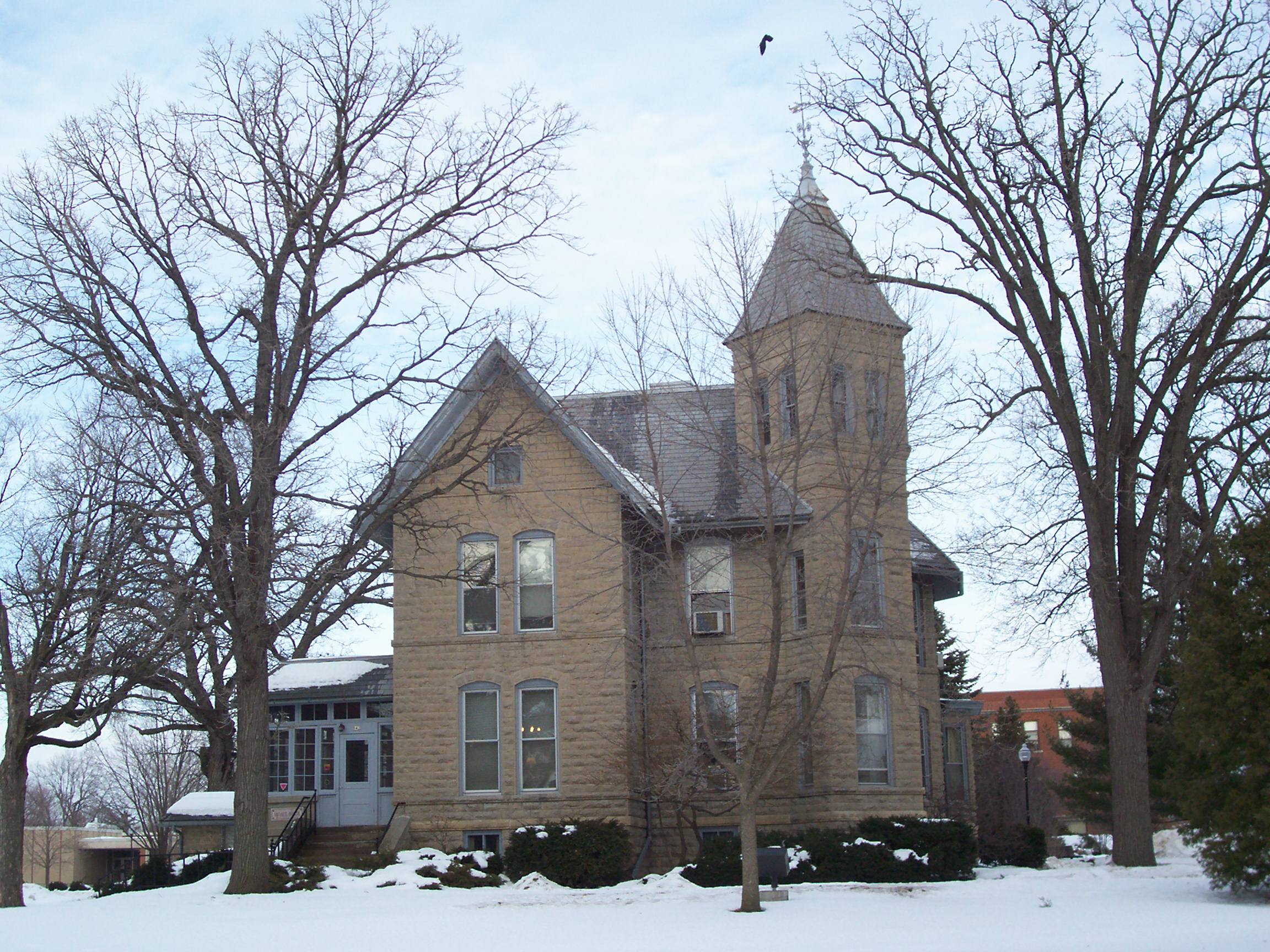
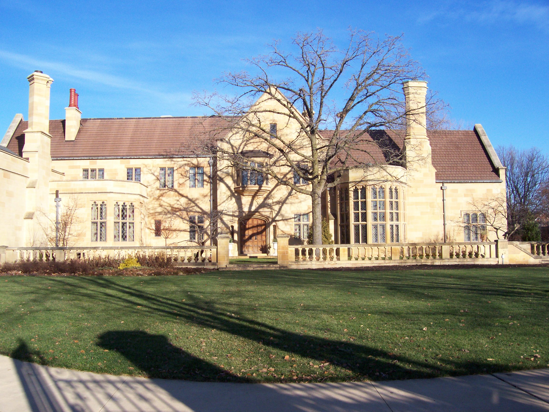
[5] Landmark name[2] Image Date listed Location City or Town Summary 1 Algoma Boulevard Historic District 
December 1, 1994 Roughly Algoma Boulevard from Woodland Ave. to Hollister Ave.
44°2′1″N 88°33′23″W / 44.03361°N 88.55639°WOshkosh 2 Algoma Boulevard Methodist Church 
December 3, 1974 1174 Algoma Boulevard
44°1′55″N 88°33′19″W / 44.03194°N 88.55528°WOshkosh 3 Gustav Augustin Block 
May 30, 1986 68 Racine St.
44°12′7″N 88°26′46″W / 44.20194°N 88.44611°WMenasha 4 Havilah Babcock House 
August 7, 1974 537 E. Wisconsin Ave.
44°10′51″N 88°26′59″W / 44.18083°N 88.44972°WNeenah 5 George, Sr., and Ellen Banta House 
May 5, 1997 348 Naymut St.
44°11′47″N 88°26′38″W / 44.19639°N 88.44389°WMenasha 6 Edward D. & Vina Shattuck Beals House 
February 27, 2008 220 N. Park Ave.
44°11′16″N 88°26′50″W / 44.18778°N 88.44722°WNeenah 7 George O. Bergstrom House 
March 22, 1993 579 E. Wisconsin Ave.
44°10′50″N 88°26′59″W / 44.18056°N 88.44972°WNeenah 8 Black Oak School 
June 25, 1987 5028 S. Green Bay Rd.
43°56′42″N 88°34′56″W / 43.945°N 88.58222°WNekimi 9 Abraham Briggs Bowen House 
April 22, 1982 1010 Bayshore Dr.
44°0′37″N 88°31′29″W / 44.01028°N 88.52472°WOshkosh 10 Brainerd Site 
September 7, 1984 Address Restricted Neenah 11 Brin Building 
July 10, 1986 1 Main St.
44°11′57″N 88°27′10″W / 44.19917°N 88.45278°WMenasha 12 Brooklyn No. 4 Fire House 
January 11, 1996 17 W. 6th Ave.
44°0′44″N 88°32′19″W / 44.01222°N 88.53861°WOshkosh 13 Buckstaff Observatory 
May 17, 1979 2119 N. Main St.
44°2′38″N 88°32′18″W / 44.04389°N 88.53833°WOshkosh Reported being dismantled and moving as of January 2011 [1] 14 Carpenter Site (47 Wn 246) April 7, 1982 Address Restricted Eureka 15 Chicago and Northwestern Railroad Depot 
March 7, 1994 500 N. Commercial St.
44°11′35″N 88°27′23″W / 44.19306°N 88.45639°WNeenah 16 Cole Watch Tower 
June 9, 1978 West of Omro on Highway 21
44°2′51″N 88°46′54″W / 44.0475°N 88.78167°WOmro 17 Daily Northwestern Building 
May 13, 1982 224 State St.
44°1′0″N 88°32′9″W / 44.016667°N 88.53583°WOshkosh 18 Doty Island (47-WN-30) June 20, 1985 Address Restricted Menasha 19 Doty Island Village Site January 19, 1996 Address Restricted
44°11′19″N 88°26′19″W / 44.18861°N 88.43861°WNeenah 20 East Forest Avenue Historic District 
November 9, 2005 Generally bounded by E. Forest Ave., Webster St., Hewitt St., and 11th St.
44°11′27″N 88°26′44″W / 44.19083°N 88.44556°WNeenah 21 Eureka Lock and Lock Tender's House 
September 29, 1976 South of Eureka on the Fox River
43°59′45″N 88°52′18″W / 43.99583°N 88.87167°WEureka 22 First Methodist Church 
March 17, 1995 502 N. Main St.
44°1′12″N 88°32′13″W / 44.02°N 88.53694°WOshkosh [2] 23 First Presbyterian Church 
December 27, 1974 110 Church Ave.
44°1′14″N 88°32′19″W / 44.02056°N 88.53861°WOshkosh 24 Frontenac 
April 22, 1982 132-140 High St. and 9 Brown St.
44°1′5″N 88°32′22″W / 44.01806°N 88.53944°WOshkosh 25 Hans Gram House 
July 2, 1987 345 E. Wisconsin Ave.
44°11′1″N 88°27′19″W / 44.18361°N 88.45528°WNeenah 26 Grand Loggery 
March 22, 1974 Doty Park (Lincoln St.)
44°11′14″N 88°26′53″W / 44.18722°N 88.44806°WNeenah 27 Augustin Grignon Hotel 
April 14, 1975 Southeastern corner of the junction of Main and Washington Sts.
44°5′58″N 88°39′12″W / 44.09944°N 88.65333°WButte des Morts 28 Richard Guenther House 
March 1, 1984 1200 Washington Ave.
44°1′5″N 88°31′18″W / 44.01806°N 88.52167°WOshkosh A home of Richard W. Guenther 29 Frank Winchester Hawks House 
May 9, 1997 433 E. Wisconsin Ave.
44°10′57″N 88°27′14″W / 44.1825°N 88.45389°WNeenah 30 Jessie Jack Hooper House 
December 18, 1978 1149 Algoma Boulevard
44°1′52″N 88°33′20″W / 44.03111°N 88.55556°WOshkosh 31 Irving-Church Historic District 
March 7, 1994 Roughly bounded by W. Irving Ave., Franklin St., Church Ave., Wisconsin St., and Amherst Ave.
44°1′23″N 88°32′45″W / 44.02306°N 88.54583°WOshkosh 32 Ellis Jennings House 
March 20, 1992 711 E. Forest Ave.
44°11′24″N 88°26′54″W / 44.19°N 88.44833°WNeenah 33 Rev. Jens N. Jersild House 
September 2, 2003 331 E. Wisconsin Ave.
44°11′2.66″N 88°27′24″W / 44.1840722°N 88.45667°WNeenah 34 Kamrath Site May 6, 1975 Address Restricted Winneconne 35 Judge J.C. Kerwin House 
August 16, 1996 516 E. Forest Ave.
44°11′26″N 88°26′58″W / 44.19056°N 88.44944°WNeenah 36 Carl Koch Block 
July 10, 1986 2 Tayco St.
44°11′56″N 88°27′11″W / 44.19889°N 88.45306°WMenasha 37 Larson Brothers Airport 
April 5, 1984 Highway 150
44°12′10″N 88°38′19″W / 44.20278°N 88.63861°WClayton 38 Lasley's Point Site September 6, 1979 Address Restricted Winneconne 39 Perry Lindsley House 
September 2, 2003 1102 E. Forest Ave.
44°11′33″N 88°26′36″W / 44.1925°N 88.44333°WNeenah 40 Robert Lutz House 
May 27, 1982 1449 Knapp St.
44°0′17″N 88°33′47″W / 44.00472°N 88.56306°WOshkosh 41 Mayer-Bankerob House 
September 23, 1999 809 Ceape Ave.
44°0′53″N 88°31′36″W / 44.01472°N 88.52667°WOshkosh 42 Menasha Dam 
December 7, 1993 Fox River at Mill St.
44°11′58″N 88°26′48″W / 44.19944°N 88.44667°WMenasha 43 Menasha Lock Site 
January 5, 1998 Address Restricted Menasha 44 Metzig Garden Site (47WN283) December 29, 1988 Address Restricted Wolf River 45 John R. Morgan House 
October 14, 1983 234 Church Ave.
44°1′17″N 88°33′13″W / 44.02139°N 88.55361°WOshkosh 46 Neenah United States Post Office 
November 8, 1990 307 S. Commercial St.
44°11′5″N 88°27′48″W / 44.18472°N 88.46333°WNeenah 47 North Main Street Historic District 
March 7, 1996 Roughly N. Main St. from Parkway Ave. to Algoma Boulevard, and Market St. northwest to High Ave.
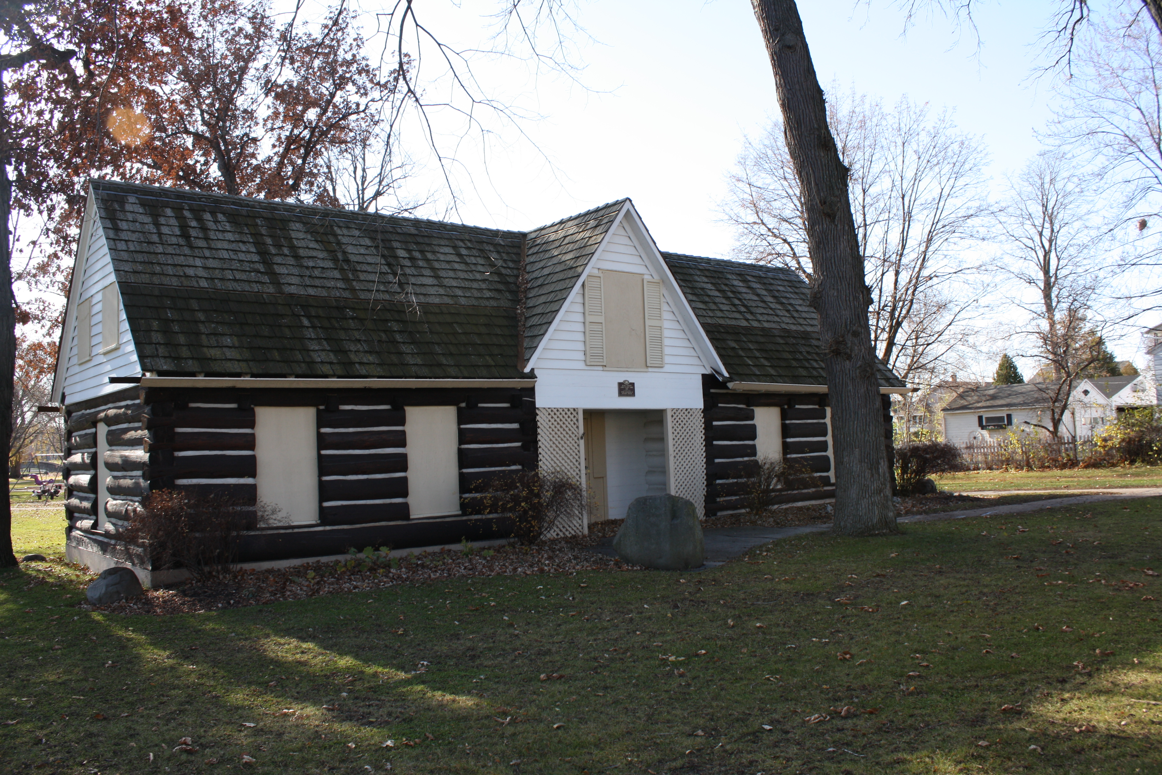
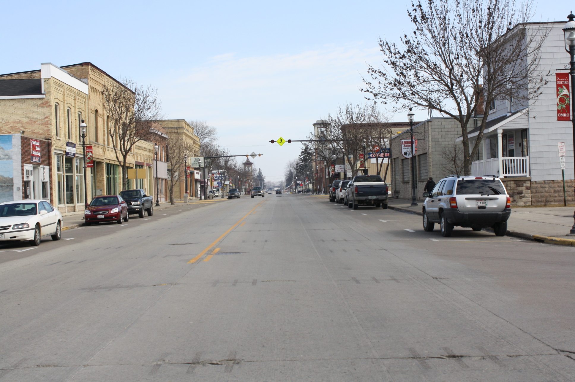
44°1′11″N 88°32′16″W / 44.01972°N 88.53778°WOshkosh 48 Omro Downtown Historic District 
March 7, 1996 Junction of Main St. and S. Webster Ave.
44°2′22″N 88°44′41″W / 44.03944°N 88.74472°WOmro 49 Omro High School, Annex and Webster Manual Training School 
June 19, 1985 515 S. Webster St.
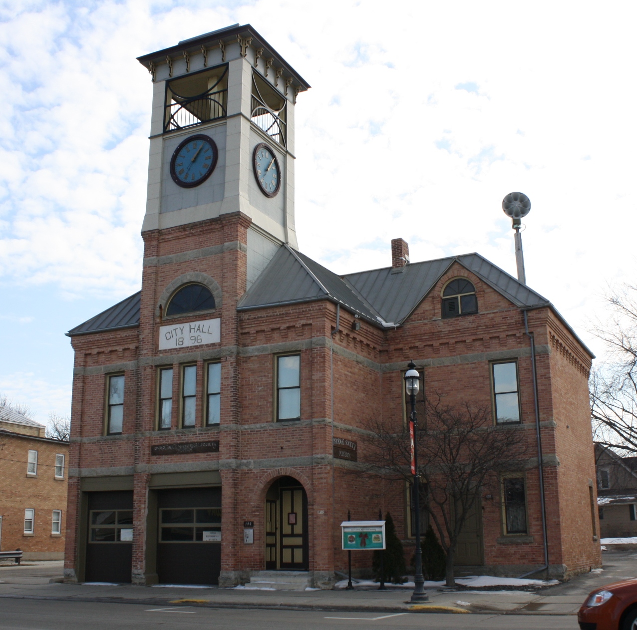
44°2′7″N 88°44′43″W / 44.03528°N 88.74528°WOmro 50 Omro Village Hall and Engine House 
April 14, 1997 144 E. Main St.
44°2′21″N 88°44′37″W / 44.03917°N 88.74361°WOmro 51 Orville Beach Memorial Manual Training School 
September 12, 1985 240 Algoma Boulevard
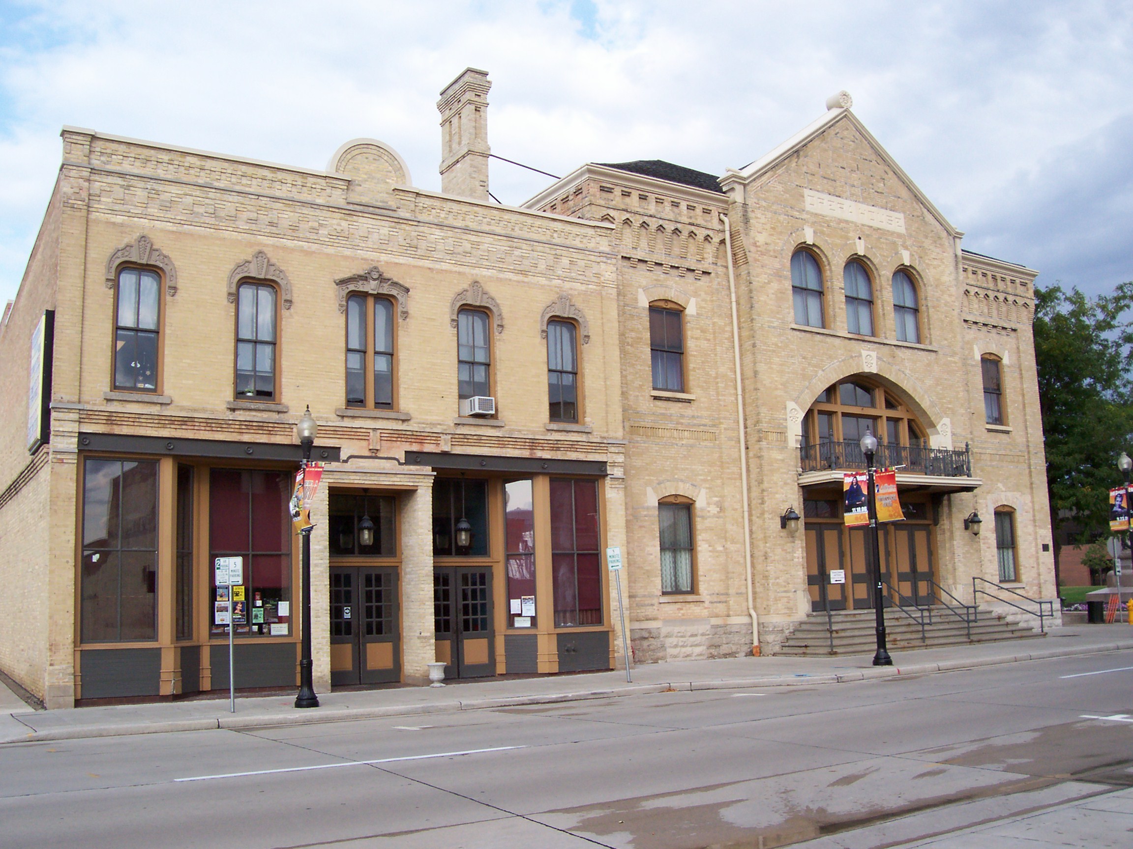
44°1′11″N 88°32′25″W / 44.01972°N 88.54028°WOshkosh 52 Oshkosh Grand Opera House 
January 21, 1974 100 High Ave.
44°1′2″N 88°32′19″W / 44.01722°N 88.53861°WOshkosh 53 Oshkosh State Normal School Historic District 
December 6, 1984 Buildings at 800, 842, and 912 Algoma Boulevard, and 845 Elmwood Ave.
44°1′45″N 88°33′4″W / 44.02917°N 88.55111°WOshkosh 54 Overton Archeological District May 2, 1975 Address Restricted Oshkosh 55 Oviatt House 
August 27, 1979 842 Algoma Boulevard
44°1′38″N 88°33′6″W / 44.02722°N 88.55167°WOshkosh 56 Henry Paepke House 
March 13, 1987 251 E. Doty Ave.
44°11′1″N 88°27′30″W / 44.18361°N 88.45833°WNeenah 57 Paine Art Center and Arboretum 
December 1, 1978 1410 Algoma Boulevard
44°2′7″N 88°33′30″W / 44.03528°N 88.55833°WOshkosh 58 Paine Lumber Company Historic District 
June 26, 1986 Off Congress Ave. roughly between High, New York, and Summit Aves., and a Paine Lumber access road
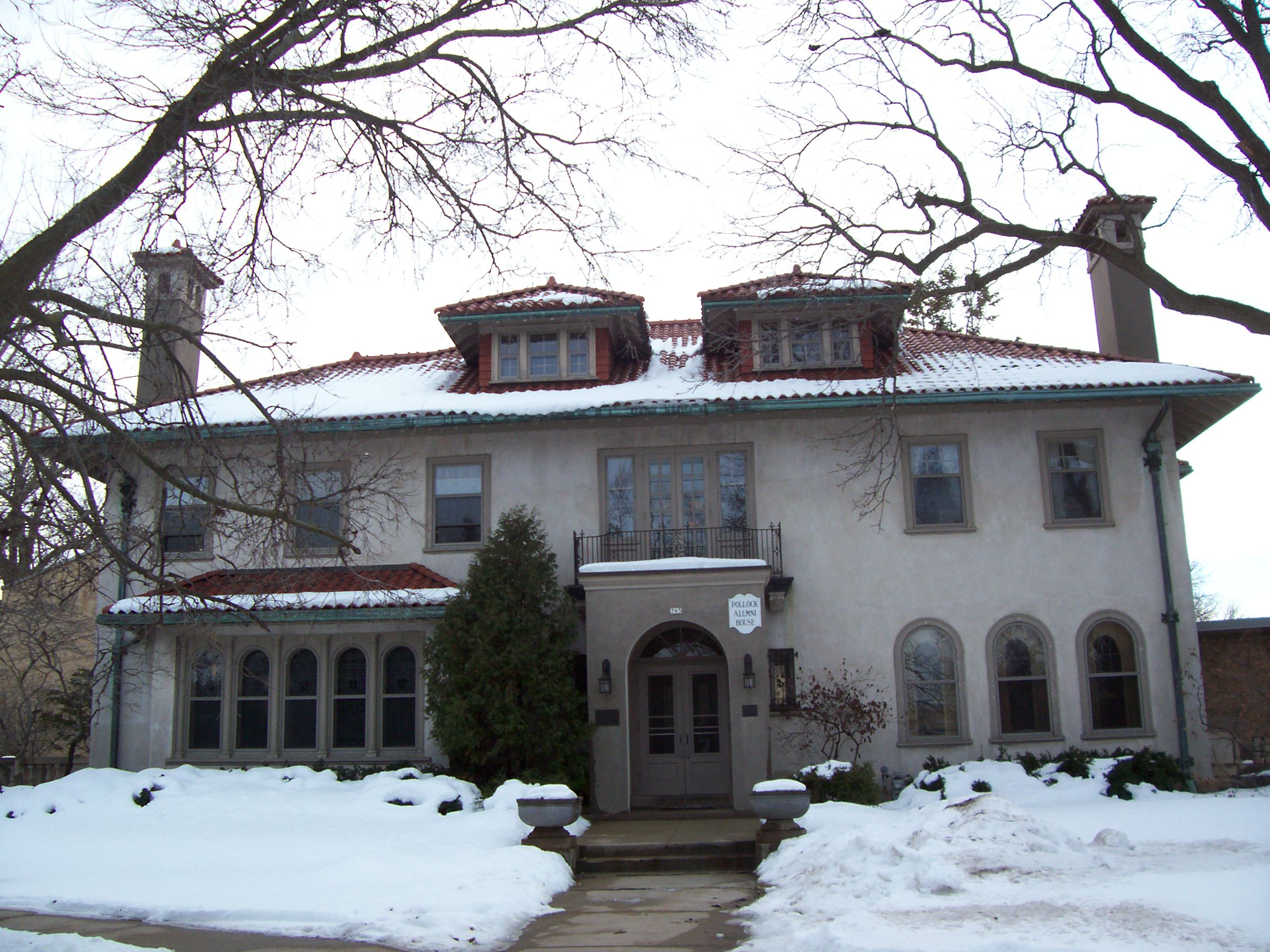
44°2′1″N 88°33′51″W / 44.03361°N 88.56417°WOshkosh 59 William E. Pollock Residence 
December 6, 1984 765 Algoma Boulevard
44°1′31″N 88°33′4″W / 44.02528°N 88.55111°WOshkosh 60 Read School 
February 11, 1993 1120 Algoma Boulevard
44°1′52″N 88°33′16″W / 44.03111°N 88.55444°WOshkosh 61 Riverside Cemetery 
June 26, 2003 1901 Algoma Boulevard
44°2′48″N 88°33′58″W / 44.04667°N 88.56611°WOshkosh 62 Security Bank 
October 7, 1994 903 Oregon St.
44°0′37″N 88°32′34″W / 44.01028°N 88.54278°WOshkosh 63 J. Leslie Sensenbrenner House 
September 2, 2003 256 N. Park Ave.
44°11′13″N 88°26′42″W / 44.18694°N 88.445°WNeenah 64 Franklyn C. Shattuck House 
December 4, 1978 547 E. Wisconsin Ave.
44°10′51″N 88°27′2″W / 44.18083°N 88.45056°WNeenah 65 Henry Sherry House 
December 22, 1999 527 E. Wisconsin Ave.
44°11′0″N 88°27′6″W / 44.183333°N 88.45167°WNeenah 66 Charles R. Smith House 
July 16, 1979 824 E. Forest Ave.
44°11′26″N 88°26′42″W / 44.19056°N 88.445°WNeenah 67 Henry Spencer Smith House 
June 25, 1982 706 E. Forest Ave.
44°11′27″N 88°26′47″W / 44.19083°N 88.44639°WNeenah 68 Hiram Smith House 
September 6, 1996 336 Main St.
44°11′10″N 88°28′7″W / 44.18611°N 88.46861°WNeenah 69 Tayco Street Bridge 
May 30, 1986 Tayco and Water Sts.
44°11′54″N 88°27′9″W / 44.19833°N 88.4525°WMenasha 70 Trinity Episcopal Church 
December 30, 1974 203 Algoma Boulevard
44°1′8″N 88°32′24″W / 44.01889°N 88.54°WOshkosh 71 Upper Main Street Historic District 
December 6, 1984 163-240 Main, 3 Mill, 56 Racine, and 408 Water Sts.
44°12′4″N 88°26′51″W / 44.20111°N 88.4475°WMenasha 72 US Post Office-Menasha 
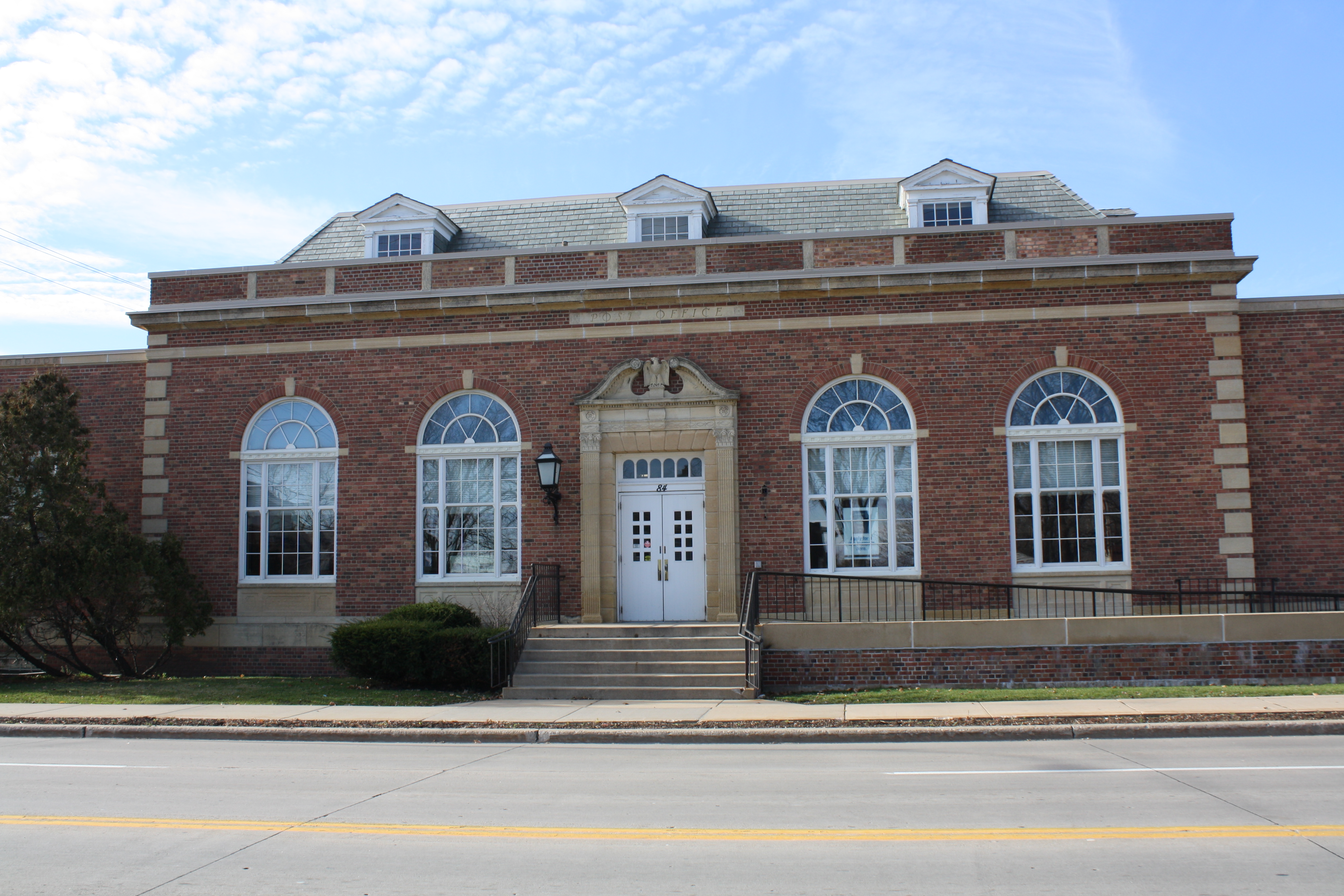
August 22, 1986 84 Racine St.
44°12′8″N 88°26′47″W / 44.20222°N 88.44639°WMenasha 73 Dewitt Clinton Van Ostrand House 
January 9, 1997 413 Church St.
44°11′5″N 88°27′53″W / 44.18472°N 88.46472°WNeenah 74 Gorham P. Vining House 
December 8, 1983 1590 Oakridge Rd.
44°11′6″N 88°29′57″W / 44.185°N 88.49917°WNeenah 75 Thomas R. Wall Residence 
December 6, 1984 751 Algoma Boulevard
44°1′30″N 88°33′2″W / 44.025°N 88.55056°WOshkosh Located on the University of Wisconsin-Oshkosh campus 76 Washington Avenue Historic District 
May 22, 1986 Roughly bounded by Merritt Ave., Linde and Lampert Sts., Washington Ave., and Bowen and Evan Sts.
44°1′6″N 88°31′20″W / 44.01833°N 88.52222°WOshkosh 77 Washington Street Historic District 
May 30, 1986 214-216 Washington St.
44°11′43″N 88°27′15″W / 44.19528°N 88.45417°WMenasha 78 S.H. Waterman House 
February 25, 1993 1141 Algoma Boulevard
44°1′52″N 88°33′21″W / 44.03111°N 88.55583°WOshkosh 79 Frank Whiting Boathouse 
April 20, 2011 98 5th St.
44°11′8″N 88°26′59″W / 44.18556°N 88.44972°WNeenah 80 Frank B. Whiting House 
May 31, 2000 620 E. Forest Ave.
44°11′34″N 88°26′53″W / 44.19278°N 88.44806°WNeenah 81 William C. Wing House 
May 6, 1993 143 N. Park Ave.
44°10′52″N 88°26′44″W / 44.18111°N 88.44556°WNeenah 82 Winnebago County Courthouse 
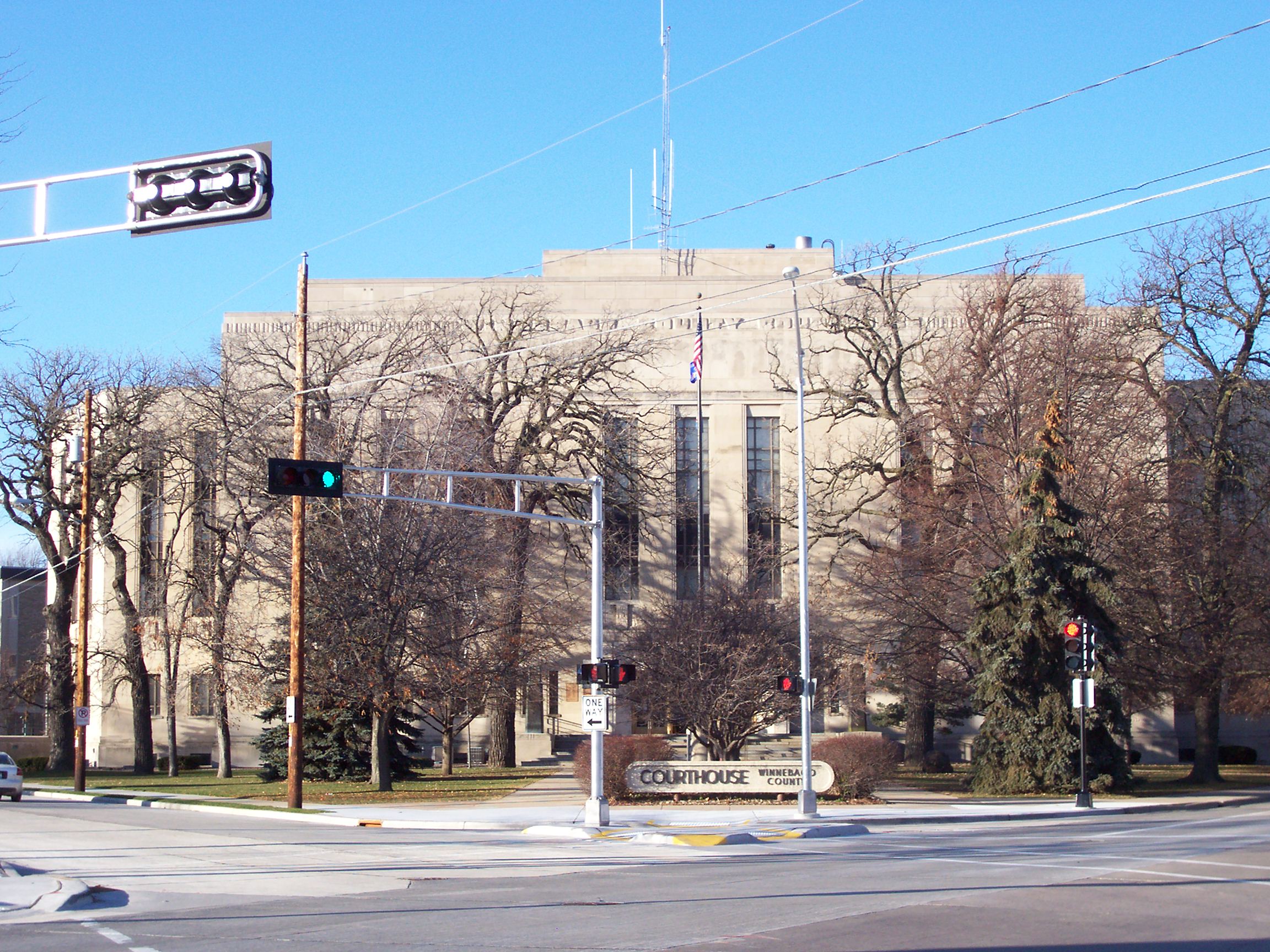
June 23, 1982 415 Jackson St.
44°1′17″N 88°32′35″W / 44.02139°N 88.54306°WOshkosh 83 Wisconsin Avenue Historic District 
June 14, 1984 106-226 W. Wisconsin Ave. and 110 Church St.
44°11′14″N 88°27′47″W / 44.18722°N 88.46306°WNeenah 84 Wisconsin National Life Insurance Building 
April 29, 1982 220 Washington Ave.
44°1′4″N 88°32′3″W / 44.01778°N 88.53417°WOshkosh Used by Winnebago County in 2008 See also
- List of National Historic Landmarks in Wisconsin
- National Register of Historic Places listings in Wisconsin
References
- ^ The latitude and longitude information provided in this table was derived originally from the National Register Information System, which has been found to be fairly accurate for about 99% of listings. For about 1% of NRIS original coordinates, experience has shown that one or both coordinates are typos or otherwise extremely far off; some corrections may have been made. A more subtle problem causes many locations to be off by up to 150 yards, depending on location in the country: most NRIS coordinates were derived from tracing out latitude and longitudes off of USGS topographical quadrant maps created under the North American Datum of 1927, which differs from the current, highly accurate WGS84 GPS system used by Google maps. Chicago is about right, but NRIS longitudes in Washington are higher by about 4.5 seconds, and are lower by about 2.0 seconds in Maine. Latitudes differ by about 1.0 second in Florida. Some locations in this table may have been corrected to current GPS standards.
- ^ a b "National Register Information System". National Register of Historic Places. National Park Service. 2008-04-24. http://nrhp.focus.nps.gov/natreg/docs/All_Data.html.
- ^ "Public Enemies". Oshkosh Public Library. http://www.oshkoshpubliclibrary.org/research/publicenemies. Retrieved 2009-10-25.
- ^ "National Register of Historic Places: Weekly List Actions". National Park Service, United States Department of the Interior. Retrieved on November 10, 2011.
- ^ Numbers represent an ordering by significant words. Various colorings, defined here, differentiate National Historic Landmark sites and National Register of Historic Places Districts from other NRHP buildings, structures, sites or objects.
U.S. National Register of Historic Places Topics Lists by states Alabama • Alaska • Arizona • Arkansas • California • Colorado • Connecticut • Delaware • Florida • Georgia • Hawaii • Idaho • Illinois • Indiana • Iowa • Kansas • Kentucky • Louisiana • Maine • Maryland • Massachusetts • Michigan • Minnesota • Mississippi • Missouri • Montana • Nebraska • Nevada • New Hampshire • New Jersey • New Mexico • New York • North Carolina • North Dakota • Ohio • Oklahoma • Oregon • Pennsylvania • Rhode Island • South Carolina • South Dakota • Tennessee • Texas • Utah • Vermont • Virginia • Washington • West Virginia • Wisconsin • WyomingLists by territories Lists by associated states Other Municipalities and communities of Winnebago County, Wisconsin Cities 
Village Towns Algoma | Black Wolf | Clayton | Menasha | Neenah | Nekimi | Nepeuskun | Omro | Oshkosh | Poygan | Rushford | Utica | Vinland | Winchester | Winneconne | Wolf River
CDPs Butte des Morts | Eureka | Waukau | Winchester
Unincorporated
communitiesAllenville | Elo | Fisk | Larsen | Koro | Medina Junction | Metz‡ | Mikesville | Orihula | Pickett | Ring | Rush Lake | Waverly Beach‡ | Winnebago | Zion | Zittau
Ghost towns Footnotes ‡This populated place also has portions in an adjacent county or counties
Categories:- National Register of Historic Places in Wisconsin
- Winnebago County, Wisconsin
-


Wikimedia Foundation. 2010.