- Farndon, Cheshire
-
Coordinates: 53°05′07″N 2°52′41″W / 53.08519°N 2.8781°W
Farndon Welsh: Rhedynfre 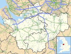
 Farndon
Farndon shown within CheshirePopulation 1,517 (2001 Census)[1] OS grid reference SJ412545 Parish Farndon Unitary authority Cheshire West and Chester Ceremonial county Cheshire Region North West Country England Sovereign state United Kingdom Post town CHESTER Postcode district CH3 Dialling code 01829 Police Cheshire Fire Cheshire Ambulance North West EU Parliament North West England UK Parliament City of Chester List of places: UK • England • Cheshire Farndon is a village and civil parish in the unitary authority of Cheshire West and Chester and the ceremonial county of Cheshire, England. It is located on the banks of the River Dee, south of Chester, and close to the border with Wales. At the 2001 Census, the village had a population of 1,517.[1]
Contents
History
It is reported that Edward the Elder died in the ancient parish of Farndon in AD 924, shortly after quelling a revolt of an alliance of Mercians and Welshmen. This involved Edward successfully taking Chester from the occupying Mercians and Welshmen, and then re-garrisoning it, and this happened shortly before his death.[2] Up to the 14th century, Farndon also included the chapelry of Holt in Denbighshire, Wales.
Some historians believe that Farndon was the location of the first ever competitive horse race with riders, in a local field on the banks of the River Dee. Nearby Chester Racecourse is said to be the oldest racecourse in Britain.
During the English Civil War, Farndon was the scene of bitter fighting over the Bridge that was controlling access to Chester from Wales. There is also a fine memorial window in the parish church to the Civil War Royalists.
The village was at one time renowned for its strawberries, which were grown in the surrounding fields. This is no longer the case. The nearest fields are now in Holt.
Origins of the name
Farndon is very close to the border between England and Wales (the actual border is on the bridge which crosses the river Dee and which separates Farndon and the village of Holt.) Consequently, Farndon has a Welsh name: Rhedynfre. The village was an important place historically and has been a site of conflict and cultural exchange since the Angles settled the area in the 8th century. The border moved numerous times during the following centuries, placing Farndon alternately in Wales and England.
The English name is reported to mean "Fern Hill", and has been given as Fearndune, Farndune, Pharndoon, Ferentone, Ferendon, Faryngdon, and Ferneton, amongst other variations, since its first mention in 924AD.[2]
Landmarks
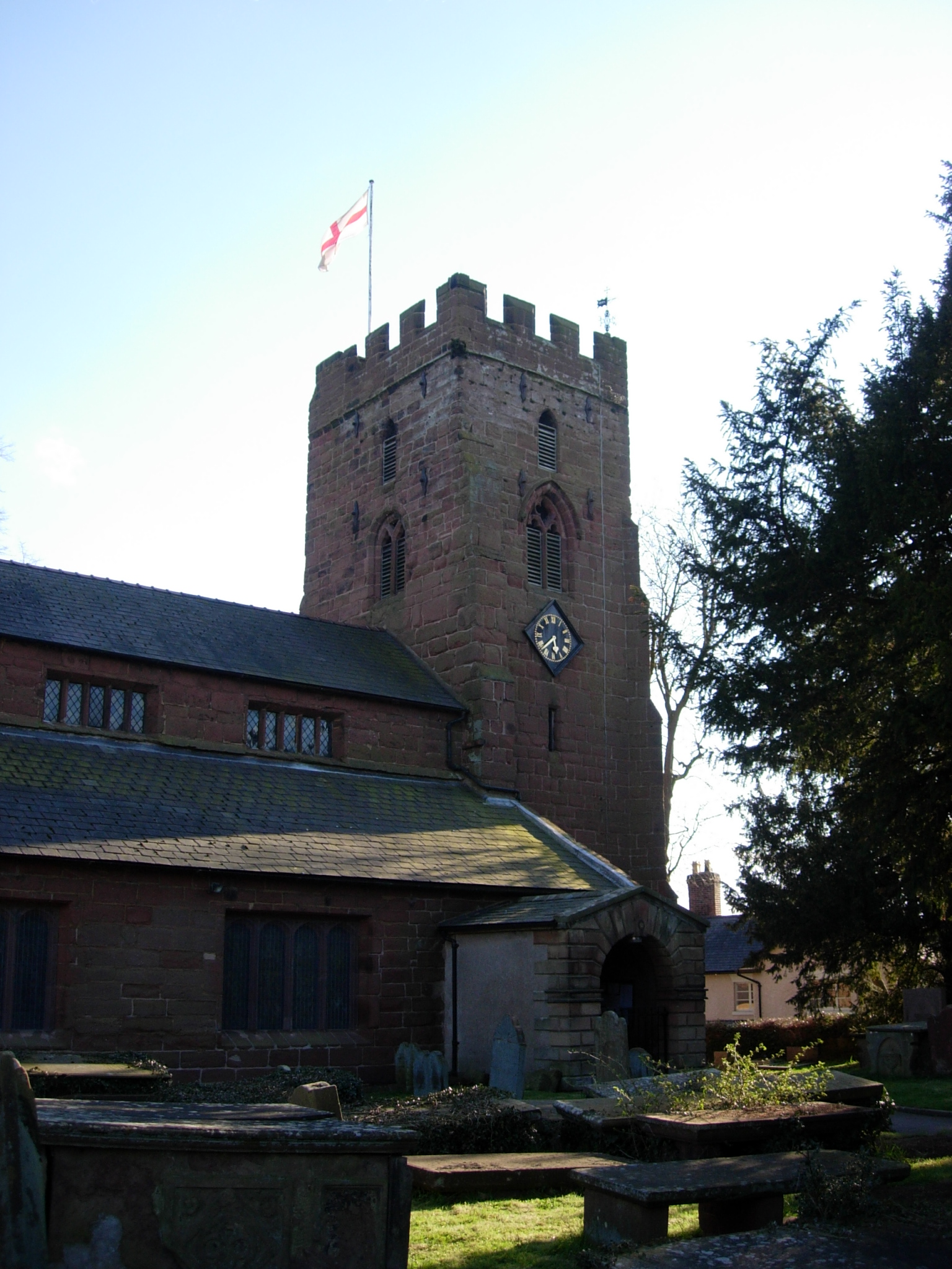
 St Chad's Church
Farndon Bridge spans the Dee connecting Farndon to the nearby Welsh village of Holt on higher ground. The bridge, made of sandstone and originally of Medieval construction, is said to be haunted. Holt Castle is located on the opposite side of the river; it was constructed in the 13th and 14th centuries. The castle fell to the forces of Oliver Cromwell in 1647.
Next to Farndon Bridge is a small picnic area beside the river. At the entrance to the picnic area are Farndon Cliffs. This area has been classed as a Site of Special Scientific Interest (SSSI). The sandstone cliffs contain interesting rock formations.[3]
St Chad's is the old parish church in Farndon. It is thought that some portions of the church date back to Sir Patrick de Bartun, a knight of King Edward III, whose effigy lies in the nave. The Church was damaged during the English Civil War and later repaired. The church contains a unique Civil War Memorial Window, and features an image thought to be that of William Lawes, the famous court musician, who was slain at the battle of Rowton Heath. The church tower still shows signs of Civil War musket ball damage.[4]
The village used to have four public houses: the 'Greyhound', the 'Nags Head', the 'Masons Arms' and the 'Farndon Arms' (formerly known as 'The Raven'). Two of these, the Farndon Arms and the Nags Head, closed in the summer of 2007 and the Farndon Arms has since reopened as 'The Farndon'; the Nags Head remains closed. The Masons Arms closed in 1928 and has been a private residence since that time. .[5]
The restaurant called 'The Brasserie' closed late 2008. Since that time, the premises have reopened under the name of Little Churtons. This is managed by Mr James Churton who used to manage Churtons Wine Bar in Tarporley.
Notable residents
- Ricky Tomlinson has a holiday chalet on the banks for the River Dee, on the outskirts of Farndon [6]
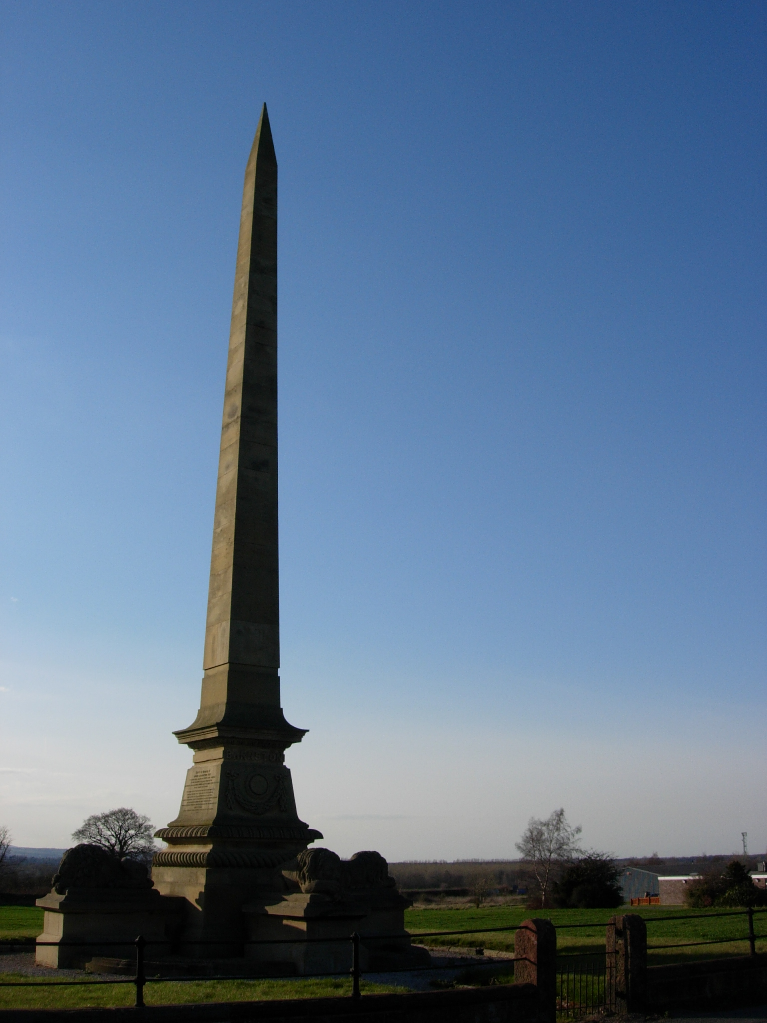
- Major Roger Barnston (1826–1857), served in the Crimean War and was killed in the Indian rebellion of 1857.[7]
- Paul Burrell, former butler to Diana, Princess of Wales, maintains a home in the village and has a shop bearing his name.[8]
- John Speed (1542–1629), cartographer, was born in Farndon.[citation needed]
Gallery of images
-

Barnston Monument, Farndon
Notes and references
Notes
- ^ a b "2001 Census: Farndon". Office for National Statistics. http://neighbourhood.statistics.gov.uk/dissemination/LeadTableView.do?a=3&b=792457&c=farndon&d=16&e=15&g=427518&i=1001x1003x1004&m=0&r=1&s=1207260737659&enc=1&dsFamilyId=779. Retrieved 3 April 2008.
- ^ a b Dodgson, J. McN. (1972). page 74.
- ^ "Farndon Cliffs SSSI" (PDF). English Nature. http://www.english-nature.org.uk/citation/citation_photo/1002499.pdf. Retrieved 7 July 2007.
- ^ "Website of St Chad's, Farndon". St Chads Church. http://www.stchadschurchfarndon.org.uk. Retrieved 4 April 2008.
- ^ "Website of Farndon Local History Pages". History. http://www.farndon.org.uk. Retrieved 16 February 2011.
- ^ Farmer, Duncan (26 May 2009). "Daily Mail, 26 May 2009". London. http://www.dailymail.co.uk/property/article-1187692/Actor-Ricky-Tomlinson-building-riverside-retreat-flat-pack-chalet-Estonia.html.
- ^ "Obelisk commemorating Roger Barnston". Public Monument and Sculpture Association. http://pmsa.cch.kcl.ac.uk/LL/CHCT0009.htm. Retrieved 24 June 2006.
- ^ Burrell, P. "Autobiography". Archived from the original on 15 July 2007. http://web.archive.org/web/20070715195956/http://www.paulburrellrvm.com/bio.html. Retrieved 21 July 2008.
Bibliography
- Dodgson, J. McN. (1972). The place-names of Cheshire. Part four: The place-names of Broxton Hundred and Wirral Hundred. Cambridge: Cambridge University Press. ISBN 0521082471.
- Farndon Local History Group ed.Lathom, F. (1981). Farndon. http://www.roydenhistory.co.uk/farndon/sources/sources.htm.
- www.farndon.org.uk Website of Farndon Local History Pages
External links
 Media related to Farndon, Cheshire at Wikimedia Commons
Ceremonial county of Cheshire Unitary authorities Major settlements Rivers Topics - History
- Museums
Categories:- Villages in Cheshire
- Civil parishes in Cheshire

Wikimedia Foundation. 2010.