- Mollington, Cheshire
-
Coordinates: 53°13′34″N 2°57′32″W / 53.226°N 2.959°W
Mollington 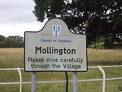
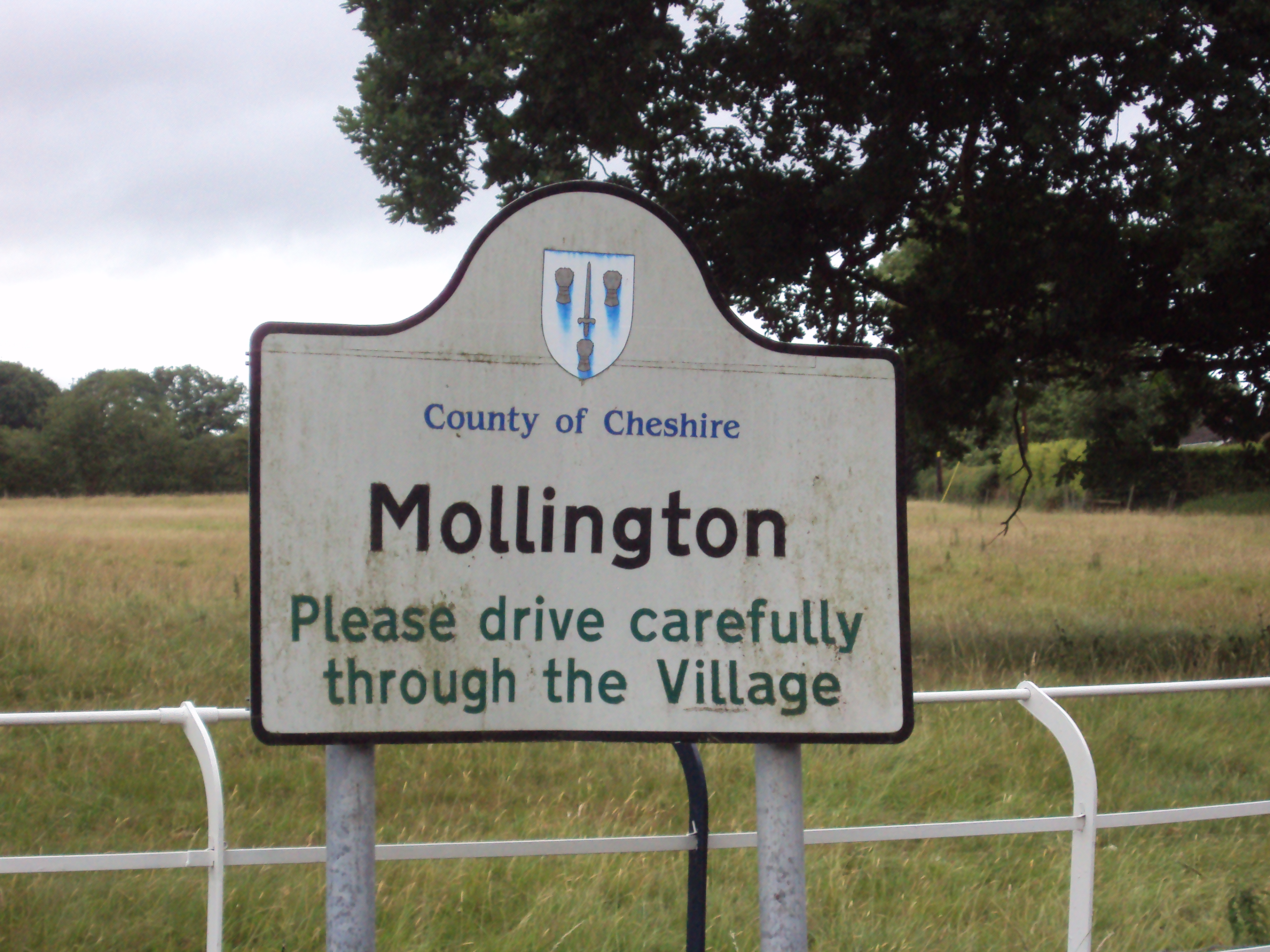
Mollington sign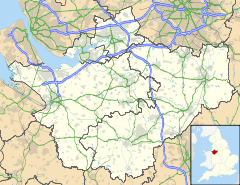
 Mollington
Mollington shown within CheshirePopulation 663 (2001 Census)[1] OS grid reference SJ385702 Parish Mollington Unitary authority Cheshire West and Chester Ceremonial county Cheshire Region North West Country England Sovereign state United Kingdom Post town CHESTER Postcode district CH1 Dialling code 01244 Police Cheshire Fire Cheshire Ambulance North West EU Parliament North West England UK Parliament City of Chester List of places: UK • England • Cheshire Mollington is a small village and civil parish in the unitary authority of Cheshire West and Chester and the ceremonial county of Cheshire, England, It is located two miles north of the city of Chester, with approximate boundaries formed by the A41 Liverpool-Chester trunk road and Shropshire Union Canal to the east and southeast, the A540 Wirral Peninsula trunk road (Parkgate Rd) to the south and west and the A5117 Dunkirk link road to the north. According to the 2001 census, the village has a population of 663.[1] The total ward population, which includes the nearby settlements of Backford, Capenhurst, Ledsham and Wervin, was 2,077.[2]
Contents
History
The village previously consisted of two separate settlements. Great Mollington was formerly known as Mollington Tarrant and was a township in the parish of Backford. It had a population of 111 in 1801, and 122 in 1851.[3] Little Mollington (Mollington Banastre) was a township in the parish of St. Mary on the Hill, Wirral Hundred. Its population was previously 23 in 1801 and 16 in 1851.[4] By 1900, both had been incorporated into Mollington civil parish, with a combined population of 232 in 1901 and 335 in 1951.[5]
Mollington railway station, linking the village directly with Chester and with Liverpool via the Wirral, was closed on 7 March 1960;[6] the station building is now a private residence.
In 1982, Mollington became the first place in Britain to have a Neighbourhood Watch scheme, following the success of similar programmes in North America.[7]
Description
Mollington is a small semi-rural commuter village of approximately 300 homes, served by St. Oswald's Primary School (formerly Mollington Church of England Primary School) and a village hall. All other facilities are now located in other nearby suburbs of Chester following the closure of the village shop and post office. Mollington's parish church is located in the neighbouring village of Backford.
The village is served by two local bus routes, but with an infrequent service most residents move about by private transport.
Mollington is characterised by tree-lined lanes with grass verges and farm land as well as sizeable family homes. It has an open, rolling and green aspect, which made it a pleasant location for the former Mollington Hall, a country house residence, now demolished. The old red-brick boundary wall of this substantial estate still remains and is now a feature of the village obvious to those who pass through. Neighbouring large houses on the edge of the village are now luxury hotels, including the Mollington Banastre and Crabwall Manor (formerly Crabwall Hall).
References
- ^ a b 2001 Census: Mollington (Civil Parish), Office for National Statistics, http://neighbourhood.statistics.gov.uk/dissemination/LeadTableView.do?a=7&b=792489&c=mollington&d=16&e=15&g=427634&i=1001x1003x1004&o=1&m=0&r=1&s=1195352614296&enc=1&dsFamilyId=779, retrieved 18 November 2007
- ^ 2001 Census: Mollington (Ward), Office for National Statistics, http://neighbourhood.statistics.gov.uk/dissemination/LeadKeyFigures.do?a=7&b=5948130&c=mollington&d=14&e=16&g=427630&i=1001x1003x1004&m=0&r=1&s=1194394509730&enc=1, retrieved 7 November 2007
- ^ Cheshire Towns & Parishes: Great Mollington, GENUKI UK & Ireland Genealogy, http://www.ukbmd.org.uk/genuki/chs/greatmollington.html, retrieved 7 November 2007
- ^ Cheshire Towns & Parishes: Little Mollington, GENUKI UK & Ireland Genealogy, http://www.ukbmd.org.uk/genuki/chs/littlemollington.html, retrieved 7 November 2007
- ^ Cheshire Towns & Parishes: Mollington, GENUKI UK & Ireland Genealogy, http://www.ukbmd.org.uk/genuki/chs/mollington.html, retrieved 7 November 2007
- ^ Maund, T.B. (2000), The Birkenhead Railway, The Railway Correspondence & Travel Society, p. 69, ISBN 090-1115-878
- ^ Watching out for the neighbours, BBC News, 18 September 2002, http://news.bbc.co.uk/1/hi/england/2266376.stm, retrieved 4 April 2008
External links
 Media related to Mollington, Cheshire at Wikimedia Commons
Ceremonial county of Cheshire Cheshire Portal Unitary authorities Major settlements Alsager • Birchwood • Bollington • Chester • Congleton • Crewe • Ellesmere Port • Frodsham • Knutsford • Macclesfield • Middlewich • Nantwich • Neston • Northwich • Poynton • Runcorn • Sandbach • Warrington • Widnes • Wilmslow • Winsford
See also: List of civil parishes in CheshireRivers Topics History • MuseumsCategories:- Chester
- Villages in Cheshire
- Civil parishes in Cheshire

Wikimedia Foundation. 2010.