- Chorlton, Cheshire West and Chester
-
Coordinates: 53°01′19″N 2°48′50″W / 53.022°N 2.814°W
Chorlton 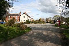
Chorlton Lane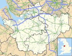
 Chorlton
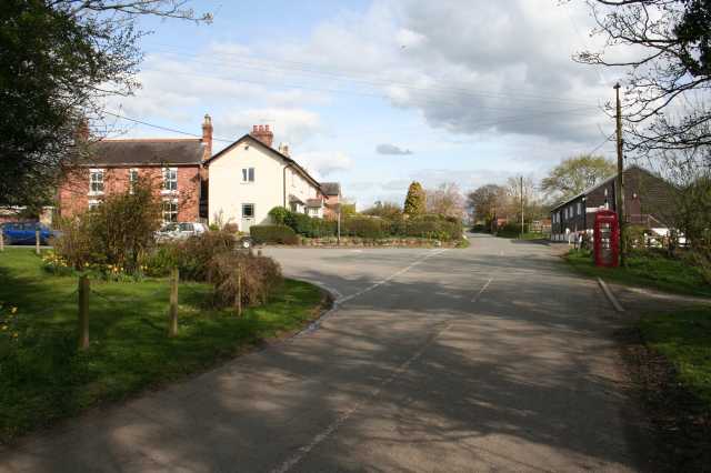
Chorlton shown within CheshirePopulation 68 (2001) OS grid reference SJ4547 Parish Chorlton Unitary authority Cheshire West and Chester Ceremonial county Cheshire Region North West Country England Sovereign state United Kingdom Post town MALPAS Postcode district SY14 Dialling code 01948 Police Cheshire Fire Cheshire Ambulance North West EU Parliament North West England UK Parliament Eddisbury List of places: UK • England • Cheshire Chorlton is a civil parish in the Borough of Cheshire West and Chester and ceremonial county of Cheshire in England. It has a population of 68.[1] The main settlement in the parish is Chorlton Lane.
References
- ^ Office for National Statistics : Census 2001 : Parish Headcounts : Chester Retrieved 2009-12-12
External links
 Media related to Chorlton, Cheshire West and Chester at Wikimedia Commons
Ceremonial county of Cheshire Unitary authorities Major settlements Rivers Topics - History
- Museums
Categories:- Villages in Cheshire
- Civil parishes in Cheshire
- Cheshire geography stubs

Wikimedia Foundation. 2010.