- Magheralin
-
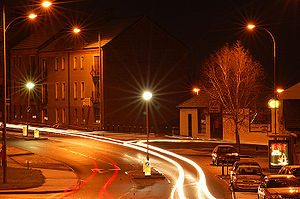 "Magheralin at night" Photo:George Malcolm
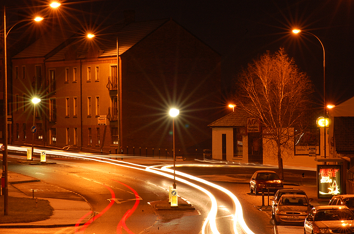
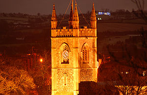 Magheralin Parish Church aka "The Church of the Holy and Undivided Trinity" Photo:George Malcolm
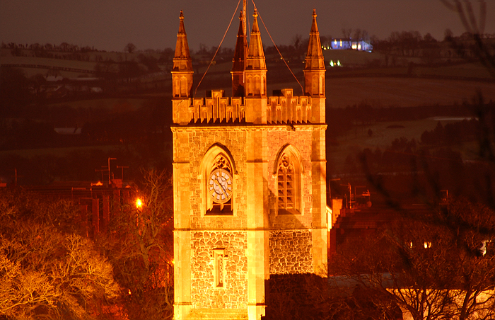
Magheralin (from Irish: Machaire Lainne meaning "plain of the pool")[1] is a village in County Down, Northern Ireland. It is on the main Moira to Lurgan road, beside the River Lagan. It had a population of 1,144 people in the 2001 Census. It is within the Craigavon Borough Council area.
The parish church was built in medieval times and its remains form part of the ruined church in the old village graveyard. The post-medieval settlement appears to have developed along the main road and near to the parish church, with an industrial focus to the south, beside the river. The village is grouped around the junction of a number of roads, and has an attractive parish church and several fine planters' houses, such as Blacklion and Drumcro by Newforge Bridge over the River Lagan. There are two village churches date back to the 1840s and display fine architecture and stained glass.
Contents
Culture
There is an old song called "The Ducks of Magheralin". In preface to a well known version by the Glenfolk Four, a singer insists that the intent of the song is to address the myth that the capital of Ireland is Dublin. The first verse is as follows:
- It is just about a year ago that I went to see the King,
- And on my voyage in Ulster my troubles they were twin;
- He decorated me with medals, and they were made of tin,
- "Go home," says he, "you skitter ye. You're the Mayor of Magheralin."
The Troubles
1989
- 18 October 1989 - Robert Metcalfe (40), a Protestant Civilian was shot and killed by the Irish Republican Army (IRA) while at his home in Drumnabreeze Road, Magheralin, near Lurgan, County Down.
1991
- 5 January 1991 - Jervis Lynch (26), A Catholic Civilian, was shot and killed by the Ulster Volunteer Force (UVF) while at his home in Acres Road, Magheralin, near Lurgan, County Down.
People
- Robert William Radclyffe Dolling (1851–1902), Anglican divine, known as Father Dolling, was born at Magheralin.
- John Macoun (1831–1920) was a Canadian naturalist born in Magheralin to James Macoun and Anne Jane Nevin, who emigrated to Canada in 1850.
Education
- Maralin Village Primary School
- St. Patrick's Primary School,
Sports
2001 Census
Magheralin is classified as a village by the NI Statistics and Research Agency (NISRA) (ie with population between 1,000 and 2,250 people). On Census day (29 April 2001) there were 1,144 people living in Magheralin. Of these:
- 23.9% were aged under 16 years and 14.7% were aged 60 and over
- 47.4% of the population were male and 52.6% were female
- 29.6% were from a Catholic background and 66.8% were from a Protestant background
- 2.7% of people aged 16–74 were unemployed.
For more details see: NI Neighbourhood Information Service
References
- Craigavon Museum
- Craigavon Area Plan 2010
- Lisburn.com
- St. Michaels GAC
External links
See also
Coordinates: 54°28′N 6°16′W / 54.467°N 6.267°W
Categories:- County Down geography stubs
- Villages in County Down
Wikimedia Foundation. 2010.