- Middleton, Massachusetts
-
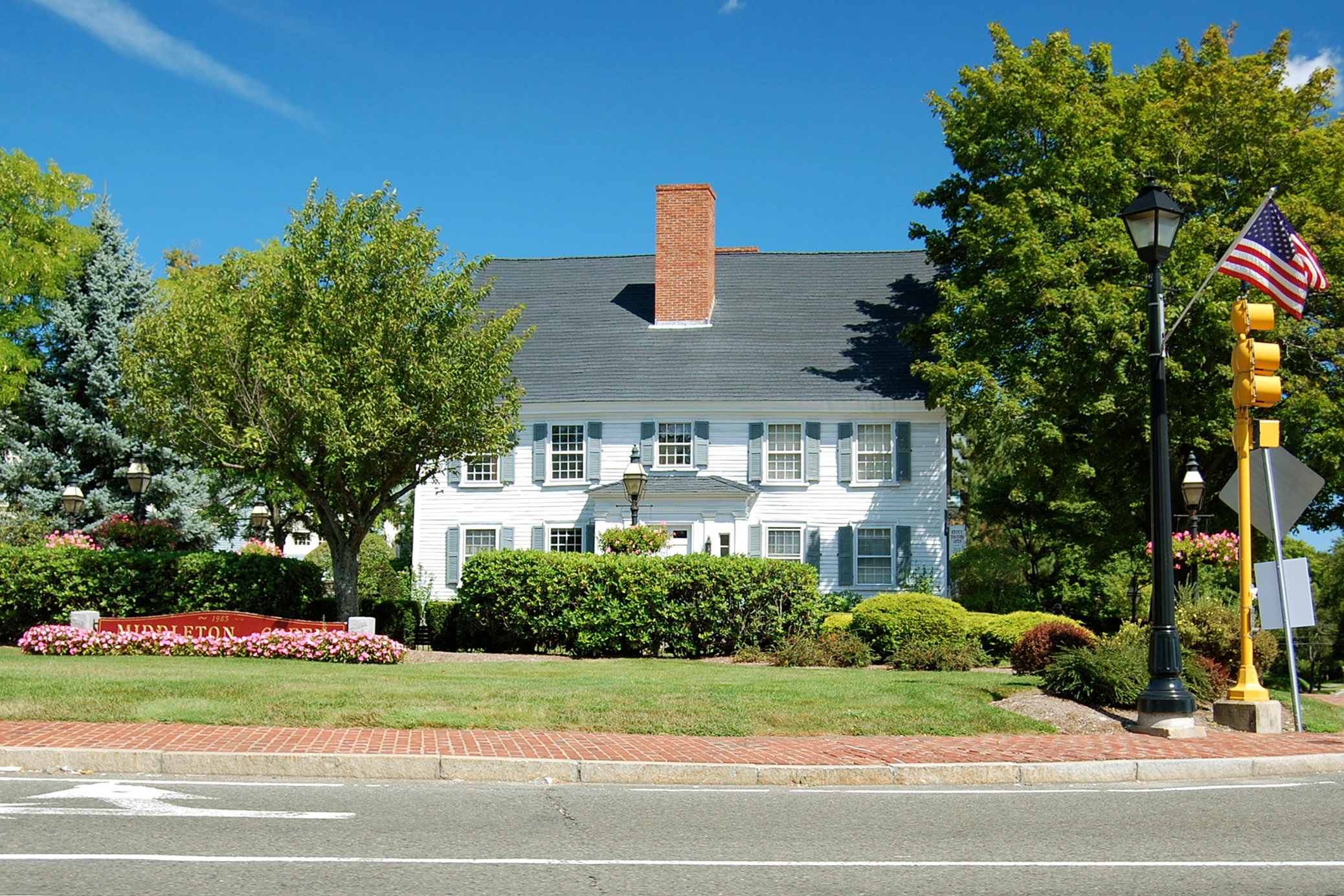
Middleton, Massachusetts — Town — The corner of Main and Maple Streets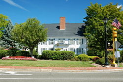 Location in Essex County in Massachusetts
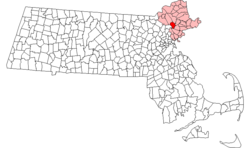
Coordinates: 42°35′42″N 71°01′00″W / 42.595°N 71.0166667°WCoordinates: 42°35′42″N 71°01′00″W / 42.595°N 71.0166667°W Country United States State Massachusetts County Essex Settled 1659 Incorporated 1728 Government – Type Open town meeting Area – Total 14.4 sq mi (37.4 km2) – Land 14.0 sq mi (36.2 km2) – Water 0.5 sq mi (1.2 km2) Elevation 94 ft (29 m) Population (2010) – Total 8,987 – Density 624/sq mi (240/km2) Time zone Eastern (UTC-5) – Summer (DST) Eastern (UTC-4) ZIP code 01949 Area code(s) 351 / 978 FIPS code 25-41095 GNIS feature ID 0618303 Website http://www.townofmiddleton.org/ Middleton is a town in Essex County, Massachusetts, United States. The population was 8,987 at the 2010 census.
Contents
History
Middleton was first settled in 1659 and was officially incorporated in 1728. Prior to 1728 it was considered a part of Salem, and contains territory previously within the limits of Andover, Boxford, and Topsfield.[1] The name Middleton is derived from its location mid way between the important early settlements of Salem and Andover. It was first settled by Bray Wilkins, who came from Salem with a large family, having purchased six hundred acres from Governor Bellingham. The town grew as a farming community, mostly due to its location on the Ipswich River, with homesteads of hundreds of acres. However, during the 18th century Middleton also contained a vital ironworks industry, located in the area of what is now Mill and Liberty streets. This enterprise originally involved Thomas Flint, Sr. and his son, Thomas Flint Jr, of Salem, John How of Boxford, and Thomas Cave Jr. of Topsfield and was carried on for approximately seventy years.[2]
In the late 18th and to the mid-19th centuries Middleton was a vacation town to those who lived in areas such as Lawrence and Lowell. It is home to one of the oldest trees in Massachusetts, being approximately 400 years old, and which is located at 53 Peabody Street. The oldest still standing house is the Wilkins house, which was built in 1693, and served as a tavern on the main road between Salem and Lawrence.
Middleton is one of the fastest growing towns in the Commonwealth, and the fastest on the North Shore. When locally grouped it is grouped with Salem, Danvers, and Beverly, but also occasionally Topsfield and Boxford, as these three towns are a tri-town. These three towns share Masconomet Regional High School (named after Chief Masconomet, sagamore of the Agawam tribe, which lived in Essex County at the time of English colonization) which serves grades 9-12, while its Middle School serves grades 7 and 8.
Geography
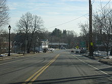 Looking south along N/S Main St (114/62) in Middleton
According to the United States Census Bureau, the town has a total area of 14.5 square miles (37.4 km²), of which, 14.0 square miles (36.2 km²) of it is land and 0.5 square miles (1.2 km²) of it (3.32%) is water. Middleton lies along the border of Essex County, and is bound by North Reading in Middlesex County to the west, and North Andover to the northwest, Boxford to the northeast, Topsfield to the east, Danvers to the southeast, Peabody to the south, and shares a short, 0.3 mile border with Lynnfield to the southwest. Middleton lies 8 miles northwest of Salem, 11 miles southeast of Lawrence, and 19 miles north of Boston.
Middleton lies in the low hills of northeastern Massachusetts. The Ipswich River flows through town, flowing from the North Reading/Lynnfield line along the Peabody and Danvers borders before turning northward into town, exiting along the border between Boxford and Topsfield. Several brooks feed into the river throughout town, and the town is also home to two larger ponds, Middleton Pond and Andover Meadow Pond, as well as several smaller ones. Within the town, there are portions of the Harold Parker State Forest and Boxford State Forest, as well as the Peabody Reservation, Sanford Reservation and Middleton Conservation Land.
Middleton lies just west of Interstate 95, with two very short parts of the highway passing through corners of the town before and after passing through Topsfield. There are exits off the highway in Boxford and in Danvers which both provide access to the town. Route 114, which follows the path of the old "Salem Turnpike," passes through the center of town, and is crossed there by Route 62, which merges with Route 114 for a short, 0.2 mile stretch there. There is no rail service within town; there are two lines (the Haverhill/Reading Line and the Newburyport/Rockport Line) of the MBTA Commuter Rail to the west and south of town, both of which provide access to Boston's North Station. The nearest small air service is located at Beverly Municipal Airport, with the nearest national and international air service being located at Logan International Airport.
Demographics
Historical populations Year Pop. ±% 1850 832 — 1860 940 +13.0% 1870 1,010 +7.4% 1880 1,000 −1.0% 1890 924 −7.6% 1900 839 −9.2% 1910 1,129 +34.6% 1920 1,195 +5.8% 1930 1,712 +43.3% 1940 2,348 +37.1% 1950 2,916 +24.2% 1960 3,718 +27.5% 1970 4,044 +8.8% 1980 4,135 +2.3% 1990 4,921 +19.0% 2000 7,744 +57.4% 2001* 7,981 +3.1% 2002* 8,171 +2.4% 2003* 8,334 +2.0% 2004* 8,532 +2.4% 2005* 8,710 +2.1% 2006* 8,816 +1.2% 2007* 8,931 +1.3% 2008* 9,132 +2.3% 2009* 9,240 +1.2% 2010 8,987 −2.7% * = population estimate.
Source: United States Census records and Population Estimates Program data.[3][4][5][6][7][8][9][10][11][12]As of the census[13] of 2000, there were 7,744 people, 2,305 households, and 1,744 families residing in the town. The population density was 554.4 people per square mile (214.0/km²). There were 2,347 housing units at an average density of 168.0 per square mile (64.9/km²). The racial makeup of the town was 95.43% White, 1.65% African American, 0.05% Native American, 1.11% Asian, 0.05% Pacific Islander, 0.27% from other races, and 1.43% from two or more races. Hispanic or Latino of any race were 6.26% of the population.
There were 2,305 households out of which 37.8% had children under the age of 18 living with them, 65.7% were married couples living together, 7.2% had a female householder with no husband present, and 24.3% were non-families. 20.0% of all households were made up of individuals and 9.3% had someone living alone who was 65 years of age or older. The average household size was 2.76 and the average family size was 3.22.
In the town the population was spread out with 23.0% under the age of 18, 8.4% from 18 to 24, 36.9% from 25 to 44, 22.2% from 45 to 64, and 9.5% who were 65 years of age or older. The median age was 36 years. For every 100 females there were 138.9 males. For every 100 females age 18 and over, there were 147.7 males.
The median income for a household in the town was $81,395, and the median income for a family was $87,605. Males had a median income of $51,831 versus $37,874 for females. The per capita income for the town was $29,031. About 2.1% of families and 3.7% of the population were below the poverty line, including 2.4% of those under age 18 and 11.2% of those age 65 or over.
Notable residents
- Brian Rolston - Boston Bruins
- P. J. Axelsson - Boston Bruins
- Sergei Samsonov - Boston Bruins
- Kyle McLaren - Boston Bruins
- Jo Jo White - Boston Celtics
- John Tudor - Boston Red Sox, St. Louis Cardinals
Notes
- ^ Vital records of Middleton, Massachusetts, Topsfield Historical Society. 1904
- ^ The Ironworks in Middleton, Massachusetts, by Lura Woodside Watkins
- ^ "TOTAL POPULATION (P1), 2010 Census Summary File 1, All County Subdivisions within Massachusetts". United States Census Bureau. http://factfinder2.census.gov/bkmk/table/1.0/en/DEC/10_SF1/P1/0400000US25.06000. Retrieved September 13, 2011.
- ^ "Massachusetts by Place and County Subdivision - GCT-T1. Population Estimates". United States Census Bureau. http://factfinder.census.gov/servlet/GCTTable?_bm=y&-geo_id=04000US25&-_box_head_nbr=GCT-T1&-ds_name=PEP_2009_EST&-_lang=en&-format=ST-9&-_sse=on. Retrieved July 12, 2011.
- ^ "1990 Census of Population, General Population Characteristics: Massachusetts". US Census Bureau. December 1990. Table 76: General Characteristics of Persons, Households, and Families: 1990. 1990 CP-1-23. http://www.census.gov/prod/cen1990/cp1/cp-1-23.pdf. Retrieved July 12, 2011.
- ^ "1980 Census of the Population, Number of Inhabitants: Massachusetts". US Census Bureau. December 1981. Table 4. Populations of County Subdivisions: 1960 to 1980. PC80-1-A23. http://www2.census.gov/prod2/decennial/documents/1980a_maABC-01.pdf. Retrieved July 12, 2011.
- ^ "1950 Census of Population". Bureau of the Census. 1952. Section 6, Pages 21-10 and 21-11, Massachusetts Table 6. Population of Counties by Minor Civil Divisions: 1930 to 1950. http://www2.census.gov/prod2/decennial/documents/23761117v1ch06.pdf. Retrieved July 12, 2011.
- ^ "1920 Census of Population". Bureau of the Census. Number of Inhabitants, by Counties and Minor Civil Divisions. Pages 21-5 through 21-7. Massachusetts Table 2. Population of Counties by Minor Civil Divisions: 1920, 1910, and 1920. http://www2.census.gov/prod2/decennial/documents/41084506no553ch2.pdf. Retrieved July 12, 2011.
- ^ "1890 Census of the Population". Department of the Interior, Census Office. Pages 179 through 182. Massachusetts Table 5. Population of States and Territories by Minor Civil Divisions: 1880 and 1890. http://www2.census.gov/prod2/decennial/documents/41084506no553ch2.pdf. Retrieved July 12, 2011.
- ^ "1870 Census of the Population". Department of the Interior, Census Office. 1872. Pages 217 through 220. Table IX. Population of Minor Civil Divisions, &c. Massachusetts. http://www2.census.gov/prod2/decennial/documents/1870e-05.pdf. Retrieved July 12, 2011.
- ^ "1860 Census". Department of the Interior, Census Office. 1864. Pages 220 through 226. State of Massachusetts Table No. 3. Populations of Cities, Towns, &c.. http://www2.census.gov/prod2/decennial/documents/1860a-08.pdf. Retrieved July 12, 2011.
- ^ "1850 Census". Department of the Interior, Census Office. 1854. Pages 338 through 393. Populations of Cities, Towns, &c.. http://www2.census.gov/prod2/decennial/documents/1850c-11.pdf. Retrieved July 12, 2011.
- ^ "American FactFinder". United States Census Bureau. http://factfinder.census.gov. Retrieved 2008-01-31.
External links
Municipalities and communities of Essex County, Massachusetts Cities Amesbury | Beverly | Gloucester | Haverhill | Lawrence | Lynn | Methuen | Newburyport | Peabody | Salem
Towns Andover | Boxford | Danvers | Essex | Georgetown | Groveland | Hamilton | Ipswich | Lynnfield | Manchester-by-the-Sea | Marblehead | Merrimac | Middleton | Nahant | Newbury | North Andover | Rockport | Rowley | Salisbury | Saugus | Swampscott | Topsfield | Wenham | West Newbury
CDPs Other
villagesAnnisquam | Ballardvale | Beverly Farms | Bradford | Byfield | Clifton | Plum Island
Categories:- Towns in Essex County, Massachusetts


Wikimedia Foundation. 2010.