- Topsfield, Massachusetts
Infobox Settlement
official_name = Topsfield, Massachusetts
nickname =
motto =
imagesize =
image_caption =
image_
mapsize = 250px
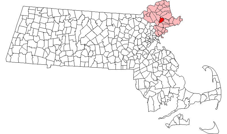
map_caption = Location in Essex County in Massachusetts
mapsize1 =
map_caption1 =
subdivision_type = Country
subdivision_name =United States
subdivision_type1 = State
subdivision_name1 =Massachusetts
subdivision_type2 = County
subdivision_name2 = Essex
established_title = Settled
established_date = 1635
established_title2 = Incorporated
established_date2 = 1650
established_title3 =
established_date3 =
government_type =Open town meeting
leader_title =
leader_name =
leader_title1 =
leader_name1 =
area_magnitude =
area_total_km2 = 33.3
area_total_sq_mi = 12.8
area_land_km2 = 33.0
area_land_sq_mi = 12.7
area_water_km2 = 0.3
area_water_sq_mi = 0.1
population_as_of = 2000
settlement_type = Town
population_total = 6141
population_density_km2 = 186.1
population_density_sq_mi = 482.1
elevation_m = 19
elevation_ft = 63
timezone = Eastern
utc_offset = -5
timezone_DST = Eastern
utc_offset_DST = -4
latd = 42 |latm = 38 |lats = 15 |latNS = N
longd = 70 |longm = 57 |longs = 00 |longEW = W
website = http://www.topsfield-ma.gov/
postal_code_type = ZIP code
postal_code = 01983
area_code = 351 / 978
blank_name = FIPS code
blank_info = 25-70150
blank1_name = GNIS feature ID
blank1_info = 0618312
footnotes =Topsfield is a town in Essex County,
Massachusetts ,United States . The population was 6,141 at the 2000 census.Part of the town comprises the
census-designated place of Topsfield.History
Topsfield was first settled in
1635 and was officially incorporated in1650 .Geography
According to the
United States Census Bureau , the town has a total area of 12.8square mile s (33.3km² ), of which, 12.7 square miles (33.0 km²) of it is land and 0.1 square miles (0.3 km²) of it (0.78%) is water.Demographics
As of the
census of 2000, there were 6,141 people, 2,099 households, and 1,712 families residing in the town. Thepopulation density was 482.1 people per square mile (186.1/km²). There were 2,144 housing units at an average density of 65.0 persons/km² (168.3 persons/sq mi). The racial makeup of the town was 97.75% White, 0.37%African American , 0.03% Native American, 0.85%Asia n, 0.00% Pacific Islander, 0.34% from other races, and 0.65% from two or more races. 0.83% of the population wereHispanic orLatino of any race.There were 2,099 households out of which 40.2% had children under the age of 18 living with them, 73.7% were married couples living together, 6.1% have a woman whose husband does not live with her, and 18.4% were non-families. 16.0% of all households were made up of individuals and 9.2% had someone living alone who was 65 years of age or older. The average household size was 2.87 and the average family size was 3.22.
In the town the population was spread out with 28.2% under the age of 18, 4.6% from 18 to 24, 24.7% from 25 to 44, 27.0% from 45 to 64, and 15.4% who were 65 years of age or older. The median age was 41 years. For every 100 females there were 94.2 males. For every 100 females age 18 and over, there were 90.3 males.
The median income for a household in the town was $96,430, and the median income for a family was $104,475. Males had a median income of $67,428 versus $43,780 for females. The
per capita income for the town was $37,770. 1.7% of the population and 0.4% of families were below the poverty line. Out of the total people living in poverty, 0.0% are under the age of 18 and 4.1% are 65 or older.Education
The town has two schools - [http://www.topsfieldschools.org/STEWARD/STEWARD_INDEX_.htm Steward School] , serving preschool through third grade, [http://www.topsfieldschools.org/PROCTOR/PROCTOR_SCHOOL_index.htm Proctor Elementary School] , serving fourth through sixth grade. Masconomet Regional High School, situated in Boxford, serves seventh through twelfth grade. The high school also enrolls Boxford and Middleton.
Annual events
Topsfield is the home of the [http://www.topsfieldfair.org/ Topsfield Fair] , an agricultural fair founded in 1818. The oldest agricultural fair in America, it features carnival rides and games in addition to the more traditional attractions - exhibitions of livestock, rabbits and cavies, crafts, horses and produce. Most notable is the Giant Pumpkin competition. The [http://www.topsfieldfair.org/tour/giant%20pumpkin2.htm 2004 winning pumpkin] weighed 1,253 pounds and was grown by Steven Sperry of Johnston, RI.
Points of interest
*
Ipswich River Wildlife Sanctuary
*Parson Capen House
*Coolidge Estate Notable residents
*
Ray Bourque - former captain of the Boston Bruins.References
External links
* [http://www.topsfield-ma.gov/ Town of Topsfield]
* [http://www.topsfieldfair.org/ Topsfield Fair]
* [http://www.topsfieldtownlibrary.org/ Topsfield Town Library]
* [http://www.topsfieldschools.org/ Topsfield Schools]
* [http://www.masconomet.org/ Masconomet Regional High School]
* [http://www.topsfieldcommons.com/ The Commons]
* [http://www.tritowncouncil.org/ Council on Youth & Family Services]
* [http://www.mormonhistoricsitesfoundation.org/articles/topsfield1.htm Historic Markers in Topsfield]
Wikimedia Foundation. 2010.