- Florida State Road 94
-
State Road 94
Kendall Drive
South 88th StreetRoute information Maintained by FDOT Length: 10.72 mi[1][2] (17.25 km) Major junctions West end:  SR 997 in Kendall
 Homestead Ext / SR 821 in Kendall
 SR 985 in Kendall
 SR 874 in Kendall
 SR 973 in Kendall
 SR 826 in Kendall
East end: 
 US 1 / SR 5 in Kendall
Location Counties: Miami-Dade Highway system Florida State and County Roads
Interstate • US • SR (Pre-1945) • Toll • County←  SR 93
SR 93I-95  →
→State Road 94, locally known as Kendall Drive or South 88th Street, serves as a primary east–west route in Miami-Dade County, and the primary commuter route in Kendall. Its current endpoints are Krome Avenue (SR 997) and South Dixie Highway (US 1).
Contents
Route description
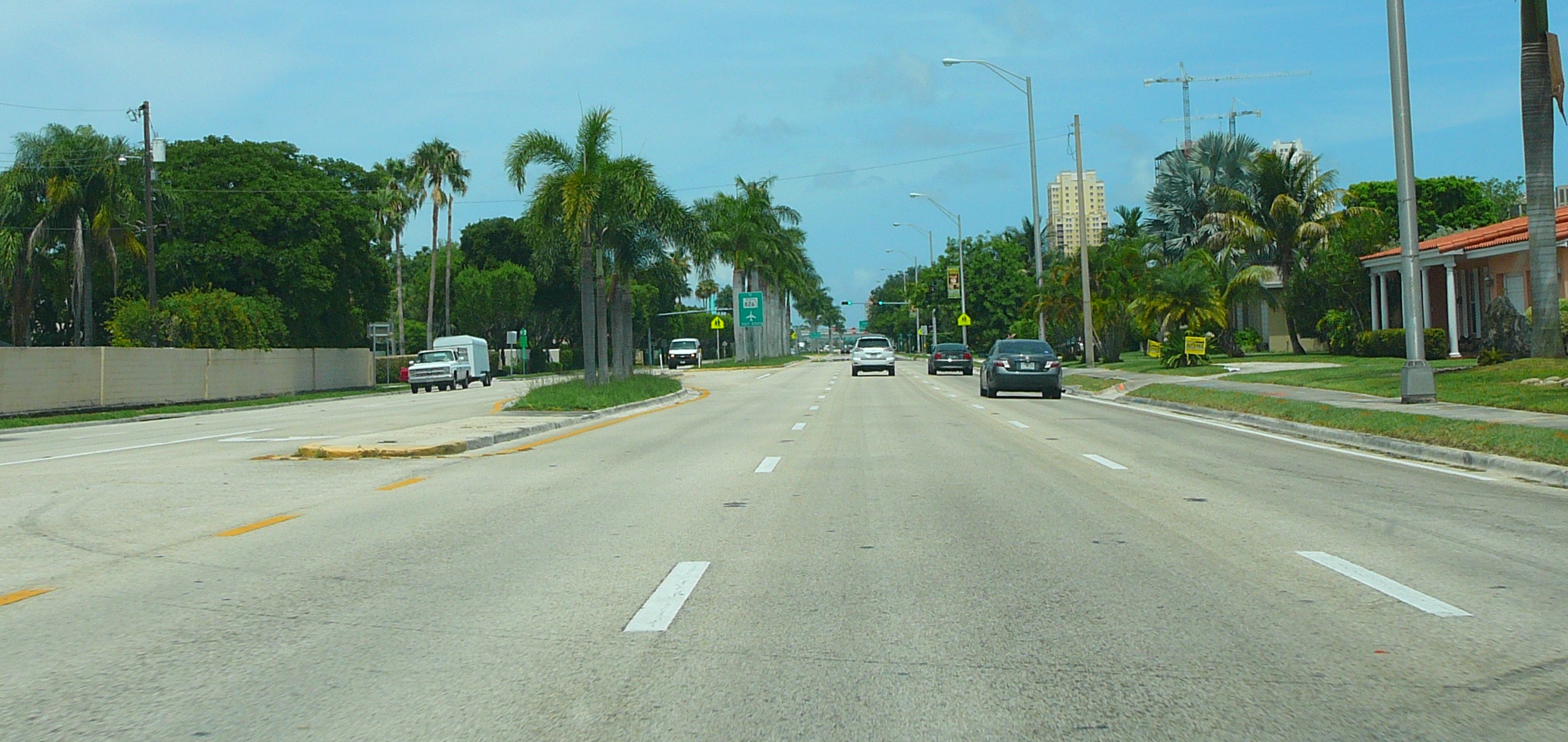
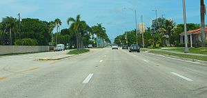 Kendall Drive eastbound between Galloway Road and the Palmetto Expressway, just west of Dadeland, July 2008
The road begins at SR 997 in western Miami-Dade County, heading east. The Homestead Extension of Florida's Turnpike provides an interchange near the western end of the road just west of 117th Avenue, followed by an interchange with the Palmetto Expressway just west of the Dadeland Mall before ending at US 1.[2][3]
SR 94 is not to be confused with the defunct US 94 -- itself SR 90 -- which was absorbed by US 41 in 1949. SR 94 should also not be confused with Loop Road, a roadway formerly known as SR 94, which connects to US 41 in two different locations forming a loop in Big Cypress National Preserve. Loop Road, is currently managed by the National Park Service and no longer has any numbered designation.
History
Until a series of truncations throughout the system of State Roads by the Florida Department of Transportation, SR 94 extended eastward to SR 959 at the intersection of Kendall Drive and Red Road (South 88th Street and West 57th Avenue) in Pinecrest; both State Roads were cut back to US 1 by 2001.
Major junctions
The entire route is located in Kendall, Miami-Dade County.
Mile[2] Destination Notes 0.00 SR 997 (Krome Avenue)Western terminus 5.68 Homestead Ext / SR 8217.13 SR 985 (SW 107th Avenue)8.05 SR 874 (Don Shula Expressway)9.15 SR 973 (Galloway Road)10.18 SR 826 (Palmetto Expressway)10.72 US 1 / SR 5Eastern terminus References
- ^ Florida Department of Transportation. "FDOT GIS data". http://www.dot.state.fl.us/planning/statistics/gis/default.htm. Retrieved June 25, 2007.
- ^ a b c MapQuest, Inc. (2009). Map of Florida State Road 94 (Map). http://www.mapquest.com/mq/6-ggw95sxR. Retrieved 2010-09-25.
- ^ Florida Department of Transportation (April 2007). General Highway Map Miami-Dade County, Florida (Map). http://www.dot.state.fl.us/surveyingandmapping/geomap/mida_c.pdf. Retrieved 2010-06-25.
Categories:- State highways in Florida
- State Roads in Miami-Dade County, Florida

Wikimedia Foundation. 2010.