- Florida State Road 4
-
"FL 4" redirects here. For the congressional district, see Florida's 4th congressional district.
State Road 4
Route information Maintained by FDOT Length: 44.8 mi[1] (72.10 km) Existed: 1945 renumbering (definition) – present Major junctions West end: 
 US 29/SR 95 in Century
 SR 89 in Jay
 SR 87 in Berrydale
 SR 189 in Baker
East end: 
 US 90/SR 10 in Milligan
Highway system Florida State and County Roads
Interstate • US • SR (Pre-1945) • Toll • County←  I-4
I-4SR 5  →
→State Road 4 is a two-lane Florida State Road in Okaloosa, Santa Rosa, and Escambia counties. It is signed east–west, but the road is slightly diagonal. It is about 45 miles (72 kilometers) long, from Century near the Alabama state border at an intersection with U.S. Route 29, to the farming community of Milligan at an intersection with U.S. Route 90. This intersection with U.S. Route 90 is due to be redone in 2015.[2] It cuts through the Blackwater River State Forest. It crosses Penny Creek, Blackwater River, Beaver Creek, Cedar Creek, East Fork Big Coldwater Creek, Manning Creek, Juniper Creek, West Fork Big Coldwater Creek, and the Escambia River, all part of the Blackwater River basin, except for the Escambia River.
Contents
Related routes
State Road 4A
State Road 4A
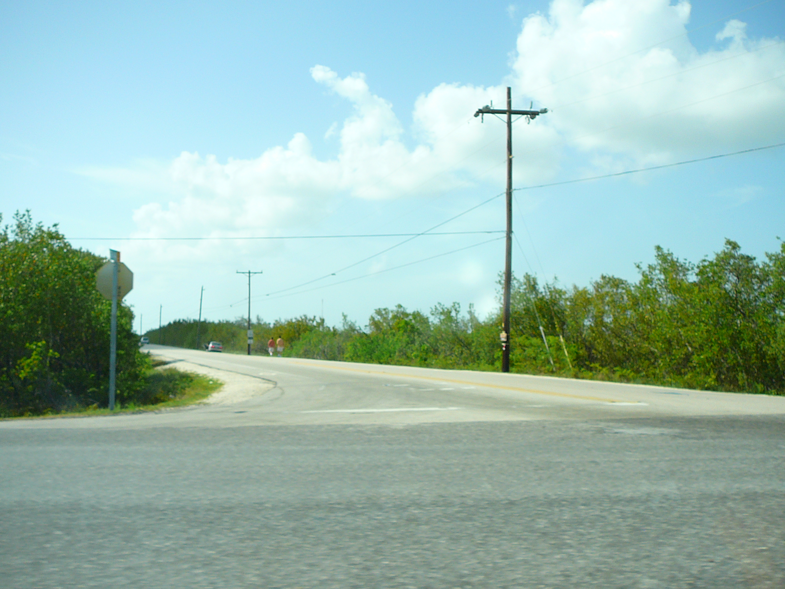
Location: Florida Keys  The intersection of State Road 4A with US 1 on Little Torch Key
State Road 4A is in three separate segments in the lower Florida Keys. One is on Ramrod Key and runs parallel to U.S. Route 1 as a service road. The other is a spur less than a quarter of a mile east going north from US 1 on Little Torch Key. The other is known as Watson Boulevard on Big Pine Key and No Name Keys. The SR 4A symbol still exists on modern maps.[3][4]
Okaloosa County Road 4B
County Road 4B
Location: Baker Length: 1.21 mi[1] (1.95 km) County Road 4B or Charlie Day Road is a short county road south of Baker in northwestern Okaloosa County of the U.S. state of Florida. The road runs from CR 189 east to SR 4.
References
- ^ a b Florida Department of Transportation. "FDOT GIS data". http://www.dot.state.fl.us/planning/statistics/gis/default.shtm. Retrieved June 27, 2007.
- ^ "Five Year Work Program/Item Number: 427649-1". http://www2.dot.state.fl.us/fmsupportapps/workprogram/Support/WPItemRept.ASPX?RF=WP&D=03&CD=57&ITM=427649~1&RP=ITEM. Retrieved July 5,2010.
- ^ Google, Inc. Google Maps – 1st & 2nd segments (Map). Cartography by Google, Inc. http://maps.google.com/?ie=UTF8&ll=24.668312,-81.395817&spn=0.055066,0.074844&z=14. Retrieved June 8, 2009.
- ^ Google, Inc. Google Maps – 3rd segment (Map). Cartography by Google, Inc. http://maps.google.com/?ie=UTF8&ll=24.693113,-81.339383&spn=0.055055,0.074844&z=14. Retrieved June 8, 2009.
Categories:- State highways in Florida
- State Roads in Okaloosa County, Florida
- State Roads in Escambia County, Florida
- State Roads in Santa Rosa County, Florida

Wikimedia Foundation. 2010.