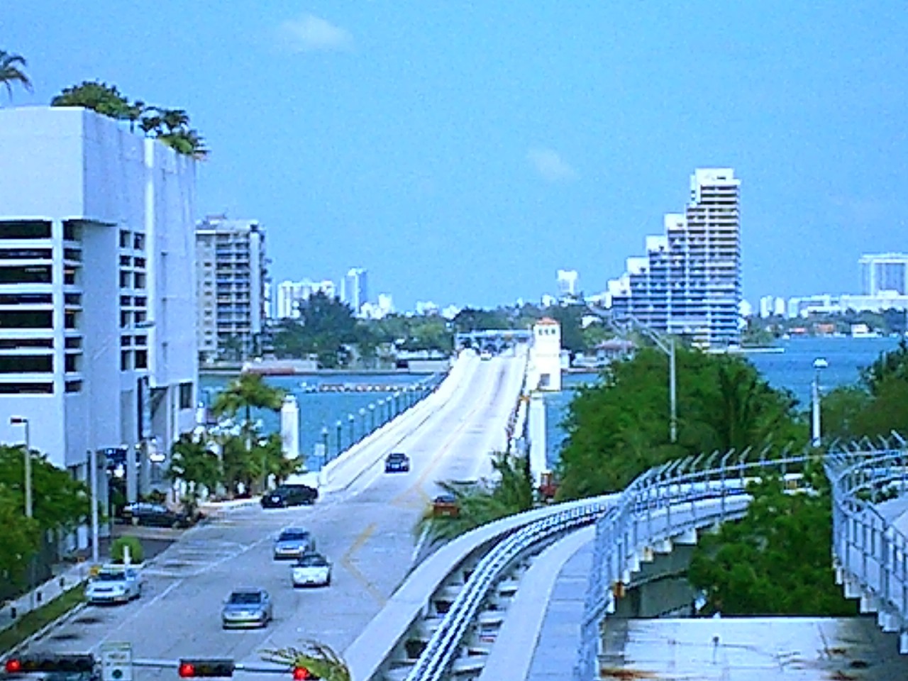
- Venetian Causeway
Infobox_nrhp
name = Venetian Causeway
nrhp_type =

image_size = 250px
caption = View of NE 15th Street as it becomes the Venetian Causeway after leaving downtown Miami. Miami Beach is east of the causeway. Circa 2002.
location= Miami and Miami Beach,Florida
lat_degrees = 25 | lat_minutes = 47 | lat_seconds = 21.18 | lat_direction = N
long_degrees = 80 | long_minutes = 11 | long_seconds = 20.77 | long_direction = W
area =
built =1926
architect= Stanley,Harvey; Raymond Concrete Pile Co.
architecture= Other
added =July 13 ,1989
governing_body = Local (Miami-Dade County )
refnum=89000852 cite web|url=http://www.nr.nps.gov/|title=National Register Information System|date=2006-03-15|work=National Register of Historic Places|publisher=National Park Service]The Venetian Causeway crosses
Biscayne Bay between the City of Miami on the mainland and City of Miami Beach on abarrier island in southernFlorida . The man-made Venetian Islands and non-bridge portions of thecauseway were created by materials which came from the dredging of the bay. The Venetian Causeway follows the original route of theCollins Bridge , a wooden 2/5 mile (600 m) long structure built in 1913 byJohn S. Collins andCarl G. Fisher which opened up the barrier island for unprecedented growth and development.The causeway has one toll plaza (administered by the [http://www.miamidade.gov/pubworks/tolls_venetian.asp Miami-Dade County Public Works department] ) on Biscayne Island, the westernmost Venetian Island. The toll for an automobile is $1.50 (US).
The causeway has two drawbridges .
At the Downtown/Western Beginning of the causeway travelers are greeted by two columns vertically saying "VENETIAN WAY" along with a sign indicating that there is a weight limit .
At the
South Beach /Eastern Terminus, drivers must choose whether to go north onto Dade Boulevard or eastbound onto 17th Street toOcean Drive , Collins Ave/A1A,Lincoln Road , City Hall, The Convention Center, Jackie Gleason Theater and the beach .The Venetian Causeway was re-dedicated in 1999 after the completion of a $29 million restoration and replacement project. [The City of Miami Beach [http://www.miamibeachfl.gov/newcity/press/press99/pr102899.htm Community Bridges The Past With The New Millennium] , October 28, 1999]
A popular use of the causeway is for exercising, which includes both jogging and bicycling.
References
ee also
* Belle Isle
*Collins Bridge
* Di Lido Island
* Biscayne Island
*John S. Collins
*Carl G. Fisher External links
* [http://groups.yahoo.com/group/venetianhomeowners/ Venetian Islands Homeowners Association] Crossings navbox
structure= Crossings
place=Biscayne Bay
bridge= Venetian Causeway
bridge signs=
upstream text= North
upstream= Julia Tuttle Causeway
upstream signs=
downstream text= South
downstream=MacArthur Causeway
downstream signs=
Wikimedia Foundation. 2010.
