- Courtney Campbell Causeway
-
Courtney Campbell Causeway 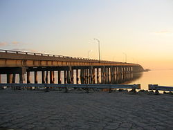
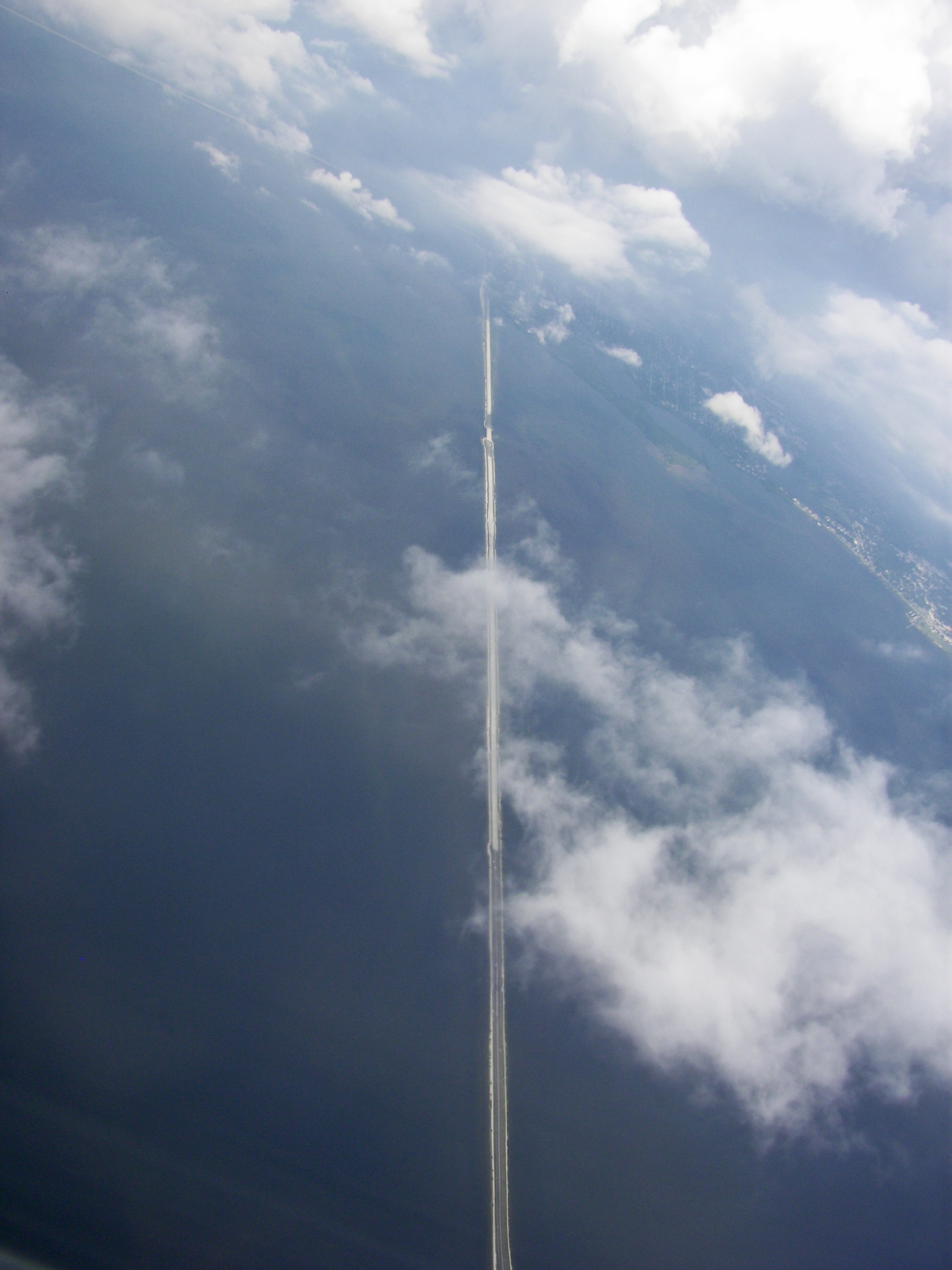
Carries Four lanes of SR 60 Crosses Old Tampa Bay Locale Clearwater to Tampa, Florida Maintained by Florida Department of Transportation Opened June 28, 1934 Daily traffic 52,500[1][2][3] Coordinates 27°58′01″N 82°39′00″W / 27.966906°N 82.649868°WCoordinates: 27°58′01″N 82°39′00″W / 27.966906°N 82.649868°W 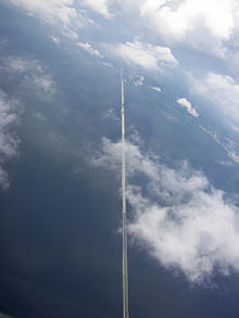 Aerial view from Tampa to Clearwater.
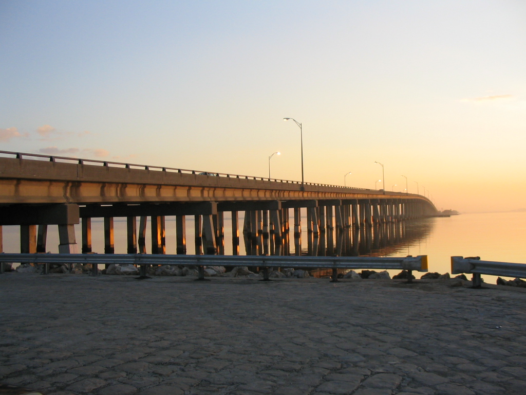
The Courtney Campbell Causeway is the northernmost bridge across Old Tampa Bay, carrying State Road 60 between Clearwater and Tampa, Florida.
Contents
History
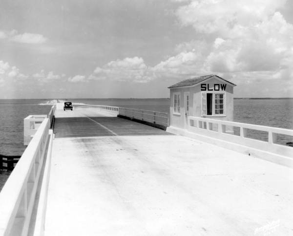
 The Davis Causeway in 1934
The Causeway was commissioned by the owner of a local dredging company, Ben T. Davis, in the late 1920s to provide a more direct link between Tampa and Clearwater. The only current land route at that time required travelling over 30 miles (48 km) around the northern shore of Tampa Bay, through the community of Oldsmar. His proposal was granted and work began in earnest in 1927 and continued off and on as Davis' dredging company ran out of other work to do. During construction, one of the original bridge spans was destroyed by a hurricane.
Costing $900,000 in total, the Davis Causeway was opened on January 28, 1934 with a 25¢ toll per car. In 1944, the federal government seized the Davis Causeway as part of America's war effort, paying its previous owners $1.1 million and transferring ownership to the state of Florida.
In 1948, the Davis Causeway was renamed for Courtney W. Campbell, a Clearwater Beach resident, U.S. Representative, and member of the Florida Road Board who spearheaded efforts to ensure needed repairs and beautification of the Causeway was completed.
In 2005, the Causeway was designated as an official scenic highway by the state of Florida.
Today
In its current form, the Courtney Campbell Causeway stretches approximately 9.9 miles (15.9 km) from eastern Clearwater to Tampa's Rocky Point island and subsequently to the mainland of western Tampa. The topographical causeway is broken by two elevated spans that allow watercraft access to and from Old Tampa Bay.
There are two beaches along the Causeway: Ben T. Davis Municipal Beach at the east end and an unnamed beach owned by the DOT on the west end. Frontage roads accessible at several points along the route run alongside the main four-lane road and are broken up by the bridge spans. A public boat ramp exists on the northern side just east of the largest bridge span.
Because of its lower capacity, lower posted speed limits, and lack of elevation coupled with the numerous palm and mangrove vegetation along the route, the Causeway offers some of the most picturesque views of any major road in the Tampa Bay area.
As of 2007, the Florida DOT is conducting a study to further enhance the Causeway with the addition of a recreational trail, likely supplanting the less-used frontage road on the north side.
As of 2010, Florida DOT has constructed a service road as part of the Airport Interchange project.[4] When the gate is unlocked, this will serve as a bike path connecting Cypress Road (at Cypress Point Park), Tampa to the Causeway and Rocky Point Island. Additionally, a bike path connecting the Causeway to Dana Shores Drive and Town 'n' Country (with a street connection to the Upper Tampa Bay Trail) has been paved. Given the demolition of the Friendship Trail Bridge, this bicycle link will become an important connection across Tampa Bay.
References
- ^ Pinellas County Metropolitan Planning Organization. 2006 Average Annual Daily Traffic Counts in Pinellas County (A.A.D.T.) (Map). http://www.pinellascounty.org/mpo/maps/TrafCou06.pdf. Retrieved 2008-01-13.
- ^ Florida Department of Transportation. PTMS and TTMS Sites, 2006, Pinellas County (15) (Map). http://www.dot.state.fl.us/planning/statistics/trafficdata/maps/pinellas.pdf. Retrieved 2008-01-13.
- ^ "2006 Annual Average Daily Traffic Report". Florida Department of Transportation. pp. Site 0057. Archived from the original on 2008-02-16. http://web.archive.org/web/20080216120609/http://www.dot.state.fl.us/planning/statistics/trafficdata/AADT/15.pdf. Retrieved 2008-01-13.
- ^ City of Tampa Parks and Recreation West Tampa Greenway Retrieved on 2010-04-29.
External links
 Media related to Courtney Campbell Causeway at Wikimedia Commons
Crossings of the Tampa Bay Upstream
SR 580

Courtney Campbell Causeway

Downstream
Clearwater Bayside Bridge
 Categories:
- Clearwater, Florida
- Roads in Tampa, Florida
- Roads in Hillsborough County, Florida
- Transportation in Tampa, Florida
- Transportation in the Tampa Bay Area
- Bridges completed in 1934
- Road bridges in Florida
Wikimedia Foundation. 2010.