- Matanzas Pass Bridge
-
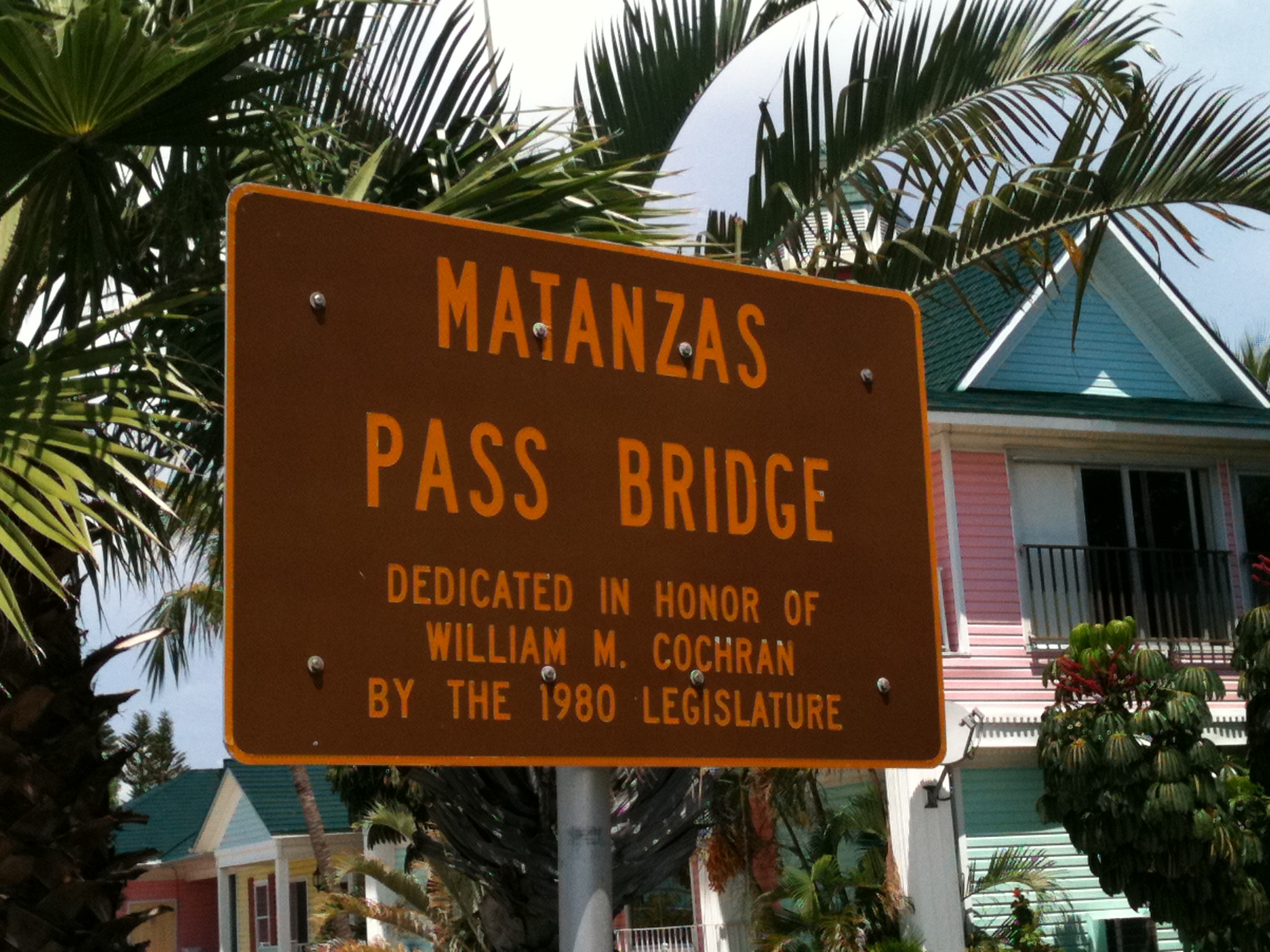
Matanzas Pass Bridge 
Official name Matanzas Pass Bridge Carries  SR 865 (San Carlos Boulevard)
Crosses Matanzas Pass Locale Fort Myers Beach, Florida Maintained by Florida Department of Transportation Design Concrete Girder Bridge Vertical clearance 65 Feet Opened 1927 (original bridge)
1980 (current bridge)Toll None Coordinates 26°27'26.55"N/ 81°57'13.09"W The Matanzas Pass Bridge (also locally known as the Sky Bridge, or the Fort Myers Beach Bridge) is a bridge located in Fort Myers Beach, Florida. It carries State Road 865 (San Carlos Boulevard) between the Florida mainland (via San Carlos Island) and Estero Island, which is a major tourist destination. The bridge is one of the island's two connections to the mainland. The other is the Bonita Beach Causeway on the south end of the island.
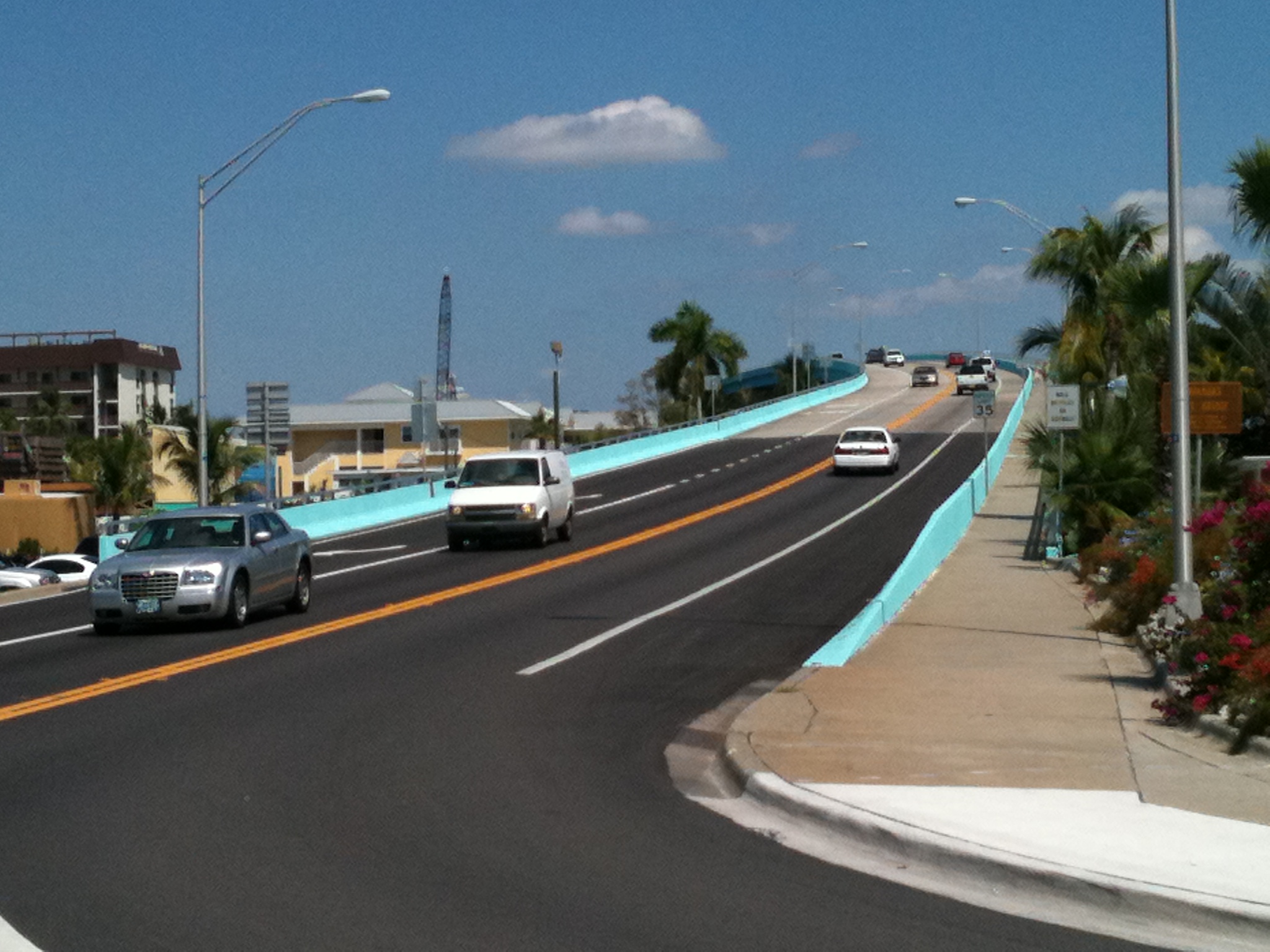
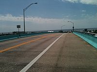 The view of the Gulf of Mexico from the top of the bridge
The current Matanzas Pass Bridge opened in 1980, and is 65 feet (20 m) tall, making it the second-tallest bridge in Lee County. The tallest bridge in the county is the first bridge of the Sanibel Causeway, which is 70 feet (21 m) tall. The bridge was built this tall to accommodate the area's large shrimping vessels. The current bridge has two traffic lanes, one for northbound traffic and one for southbound traffic. There is also a pedestrian lane, which is separated from the rest of the bridge by a concrete barrier. The bridge's current blue color was added in 2011, making it resemble the Jewfish Creek Bridge in Key Largo.
The current bridge was built to replace a small swing bridge that was installed in 1927. The original Matanzas Pass Bridge was brought in from a location on the east coast of Florida, which was necessary because the island's original toll bridge, which was built in 1921 and ran from the northern tip of the island near Bowditch Point to Bunche Beach on the mainland, was destroyed by a hurricane in 1926.[1] (The route leading up to this bridge on the mainland still exists today, and is known as John Morris Road.)
The original Matanzas Pass Bridge's swing span had to be opened manually by the bridge tender up until 1950, when an electric motor was installed to open the span, since the span needed to be opened frequently for vessels in the area's large shrimping industry. Even with the motor, the bridge was becoming old and unreliable, and island residents feared that the bridge would fail and strand them in the event of a hurricane evacuation. This was the justification for the Bonita Beach Causeway (built in 1964), and later, the current bridge (in 1980).
Gallery
-

The foot of the Matanzas Pass Bridge on the island side
-
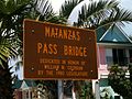
One of the bridge's dedication plaques, located on the island side
-

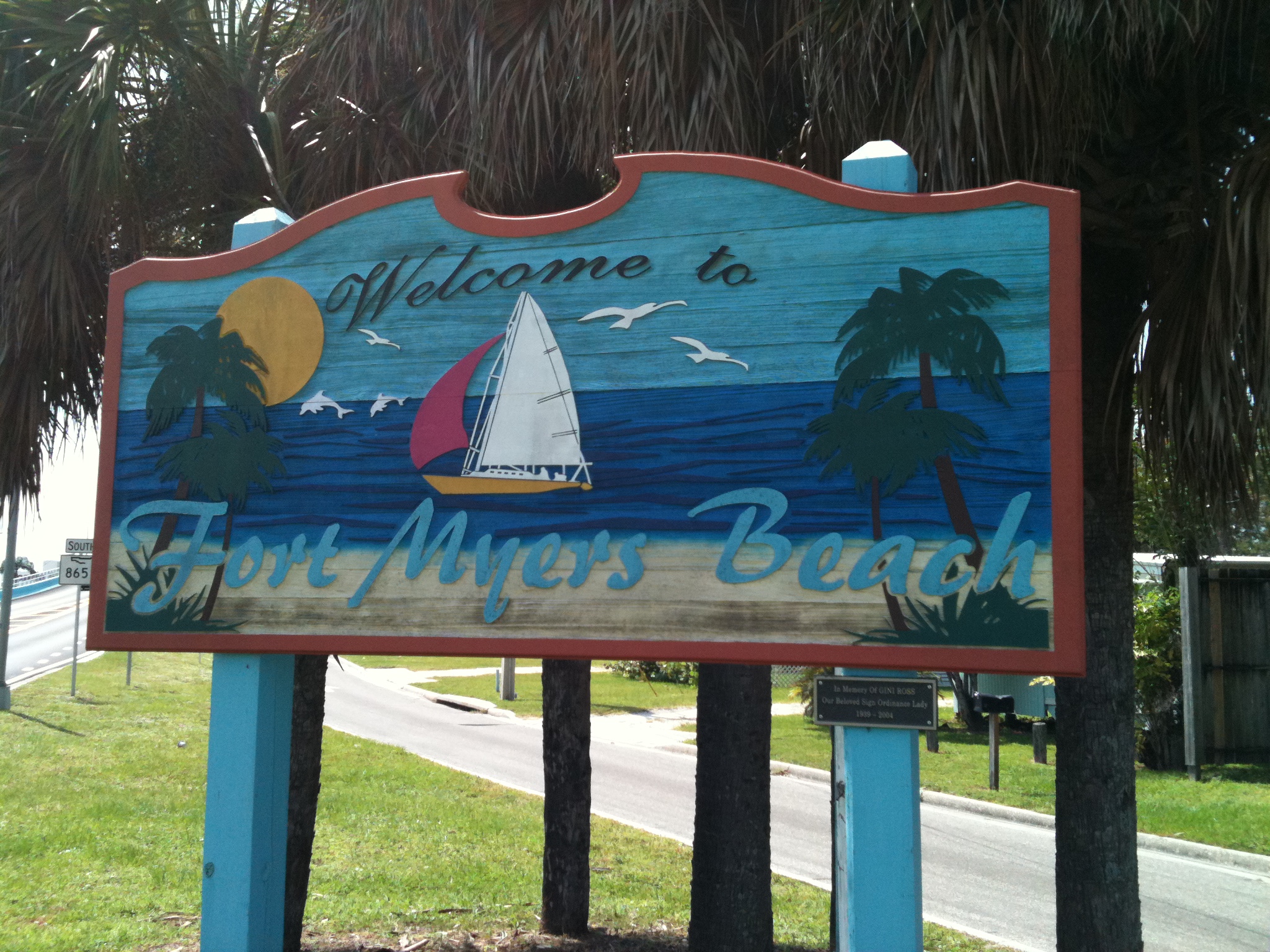
Welcome to Fort Myers Beach sign on the mainland (San Carlos Island) side
-

The bridge as it appeared prior to the addition of the blue color
References
- ^ "Fort Myers Beach". http://www.fortmyers-sanibel.com/communities/fort-myers-beach. Retrieved 2011-08-14.
Notable bridges and tunnels in Florida Panhandle Escambia Bay · Garcon Point · John Gorrie · Mid-Bay · Pensacola Bay · St. George Island · Trammell · Victory
North Acosta · Bridge of Lions · Buckman · Dames Point · Fuller Warren · Hart · Mathews · Memorial · Strauss Trunnion
West Central East Central A. Max Brewer · Bennett Causeway · Bert Dosh · Broadway · Eau Gallie Causeway · Granada · Melbourne Causeway · Merritt Island Causeway · NASA Causeway · Pineda Causeway · Port Orange Causeway · Roosevelt · Wabasso
South Broad Causeway · Cape Coral · Coral Springs† · Julia Tuttle Causeway · John F. Kennedy Causeway · John Ringling Causeway · Lehman Causeway · MacArthur Causeway · Matanzas Pass · Midpoint · Rickenbacker Causeway · Sanibel Causeway · Snow-Reed‡ · Venetian Causeway
Keys Bahia Honda · Card Sound · Jewfish Creek · Overseas Highway · Seven Mile
Tunnels † – Covered bridge‡ - Swing bridge
See also: List of bridges in FloridaCoordinates: 26°27′26.55″N 81°57′13.09″W / 26.457375°N 81.9536361°W
Categories:- Bridges completed in 1927
- Swing bridges in the United States
- Bridges completed in 1980
- Buildings and structures in Lee County, Florida
- Transportation in Lee County, Florida
- Road bridges in Florida
-


Wikimedia Foundation. 2010.