- Florida State Road 580
-
State Road 580
Route information Maintained by FDOT Length: 28.38 mi (45.673 km) Major junctions West end: 


 US 19 Alt. / SR 595 in Dunedin
 US 19 / SR 55 in Dunedin
 SR 589 in Tampa

 US 92 / SR 600 in Tampa

 I-275 / SR 93 in Tampa

 US 41 / SR 45 in Tampa
East end: 
 SR 583 / CR 580 in Temple Terrace
Highway system Florida State and County Roads
Interstate • US • SR (Pre-1945) • Toll • County←  SR 579
SR 581  →
→A major east–west highway serving northern Pinellas and central Hillsborough County, Florida, State Road 580 is a major commercial and commuter route. The western terminus is an intersection with Broadway Street (Alternate US 19-SR 595 in Dunedin); the current eastern terminus is an intersection with 56th Street (SR 583) next to the campuses of Florida College and Florida Christian College in northeastern Tampa. The historical eastern terminus is an intersection with US 301-SR 43 near Temple Terrace, two miles (3 km) to the east.
Contents
Route description
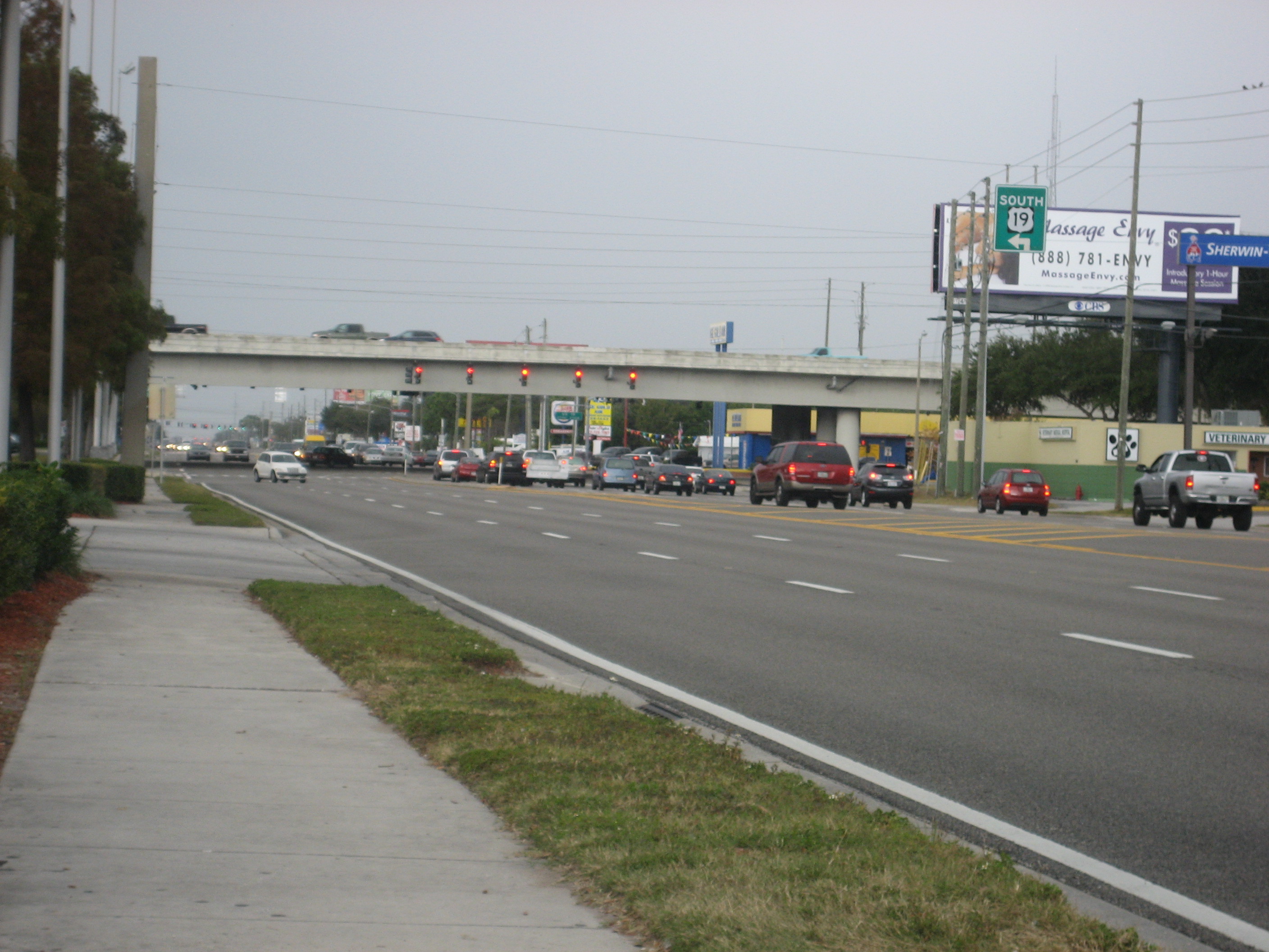
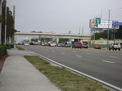 Looking west on SR 580 approaching US 19
The heavily-traveled SR 580 is locally known by a variety of names. In Pinellas County (Dunedin, Safety Harbor, and Oldsmar) it's Skinner Boulevard, Main Street and Tampa Road. A motorist continuing eastward on SR 580 in Hillsborough County drives on Tampa Road, Hillsborough Avenue (through Town 'n' Country), Dale Mabry Highway (between US 92-SR 600 and SR 597), and Busch Boulevard (which continues past the eastern SR 580 terminus as Bullard Parkway).
Noteworthy sites along or near SR 580 include Countryside Mall, Trinity College, Tampa International Airport, Hillsborough Community College, Raymond James Stadium, Busch Gardens Tampa Bay, and the two colleges on the State Road's eastern terminus. SR 580 crosses Safety Harbor - the northwestern tip of Old Tampa Bay - at the SR 580 Bridge between Oldsmar and Safety Harbor.[1]
Major intersections
County Location[2] Mile[3] Destinations Notes Pinellas Dunedin 0.00
US 19 Alt. / SR 595 (Backyard Boulevard) – ClearwaterWestern terminus of SR 580; Roadway continues west as Tilden Street 2.07 US 19 / SR 55 (66th Street), Pinellas Park, St. PetersburgOldsmar 8.38 
 SR 584 west (Tampa Road) to SR 586 (Curlew Road)
Eastern terminus of SR 584 Hillsborough Tampa 16.27 SR 589 (Veterans Expressway) – Brooksville, Tampa International AirportVeterans Expressway exit 4 18.75 US 92 / SR 600 / Dale Mabry Highway – Plant City, Raymond James StadiumEgypt Lake-Leto 21.53  SR 597 north (Dale Mabry Highway) – Lutz
Southern Terminus of SR 597 Tampa 24.35 
 US 41 Bus. / SR 685 (Florida Ave), Lutz, Downtown
24.62 I-275 / SR 93, Tampa, OcalaI-275 exit 50 24.85 US 41 / SR 45 (Nebraska Avenue)Temple Terrace 28.38 SR 583 (56th Street) / CR 580 (Bullard Parkway)Eastern terminus of SR 580; Roadway continues east as Bullard Parkway Florida State Road 580A
State Road 580A
Location: Oldsmar Florida State Road 580A is both West Saint Petersburg and East Saint Petersburg Drive, a former segment of SR 580 in Oldsmar, Florida. The road begins at the intersection of SR 580 and Pinellas County Road 233. Most of the road runs halfway between SR 580 and the north shore of Safety Harbor. The east end is at SR 580 between SR 584 and Race Track Road.
References
- ^ "Pinellas County Bridge Inspections: SR 580 eb / Safety Harbor Bay". The Lakeland Ledger. Retrieved April 30, 2010.
- ^ U.S. Census Bureau. "2009 Boundary and Annexation Survey Maps". http://www.census.gov/geo/www/bas/bas09/st12_fl/enttype_12.html. Retrieved June 4, 2009.
- ^ Florida Department of Transportation. "FDOT Interchange Report" (PDF). Archived from the original on October 25, 2007. http://web.archive.org/web/20071025050109/http://www.dot.state.fl.us/planning/statistics/pdfs/interchange.pdf. Retrieved October 4, 2007.
Crossings of the Tampa Bay Upstream
Lake Tarpon Outfall CanalState Road 580

Downstream
Courtney Campbell Causeway
 Categories:
- State highways in Florida
- State Roads in Pinellas County, Florida
- State Roads in Hillsborough County, Florida

Wikimedia Foundation. 2010.