- Miami Avenue
-

Miami Avenue is a north-south street that runs through Brickell, Downtown, and Midtown in Miami, Florida. It is the meridian that divides the street grid of Miami and Miami-Dade County into east and west avenues.
The southern terminus is on South Bayshore Drive in the Coconut Grove neighborhood of Miami at Alatka Street/Mercy Way in front of Mercy Hospital. It is one way northbound from South 15th Road to South Fourth Street. It is one way southbound from North 17th Street to the Miami River downtown where it curves onto South First Avenue. At Flagler Street, the latitudinal baseline north-south road of the Miami area, extends from the central business district of downtown Miami to the west Miami-Dade, South Miami Avenue becomes North Miami Avenue. North of North 17th Street it is two way and continues north through the city of Miami until it crosses the Little River Canal after North 85th Street and enters the village of El Portal.
It continues north through El Portal a short distance until it crosses North 90th Street and enters the village of Miami Shores. It continues north through Miami Shores until it crosses North 115th Street and enters unincorporated Miami-Dade County. It continues north through Miami-Dade County until it crosses North 167th Street and enters the city of North Miami Beach where it continues north a short distance and terminates at North 173rd Street.
Brickell
In Brickell, Miami Avenue, is Brickell's main restaurant and nightlife avenue, with many bars, restaurants, and lounges. Some of these include:
- Blue Martini
- Blue Pizza e Cucina
- Brickell Irish Pub
- Dolores, But You Can Call Me Lolita
- Duo Restaurant and Bar
- Grimpa Steakhouse
- Indochine Bistro
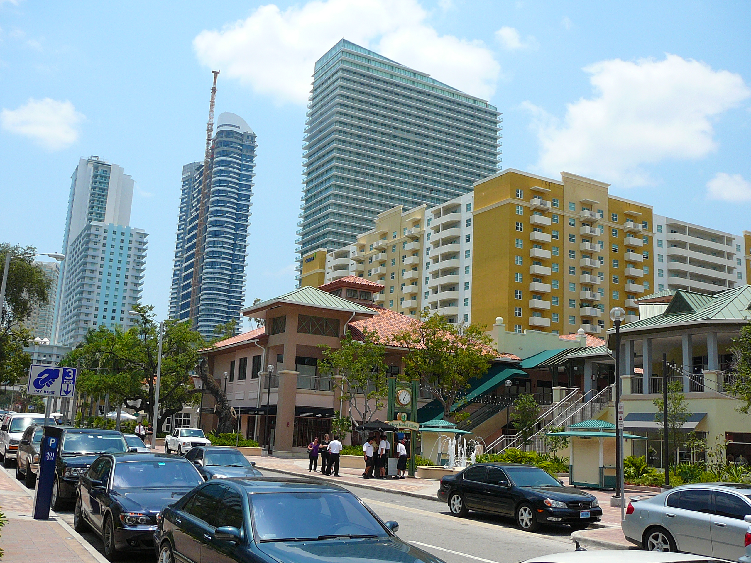
- Mary Brickell Village
- Oceanaire Seafood
- Perricone's
- P. F. Chang's China Bistro
- Pieduck's
- Pizza Piola
- Red Bar
- River Oyster Bar
- Rosa Vito
- Rosinella
- Segafredo
- Tobacco Road
- Transit Lounge
See also
Gallery
-
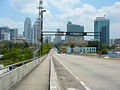
Miami Avenue facing south as it crosses the Miami River into Brickell
-

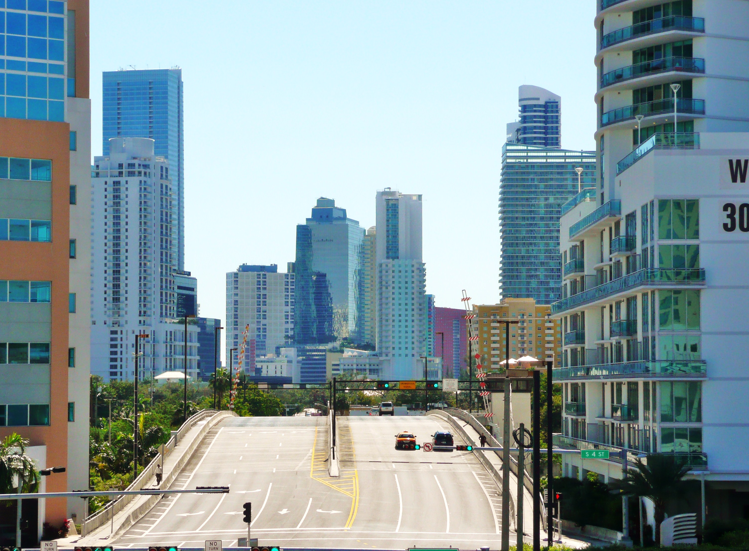
Miami Avenue facing north in Brickell
-
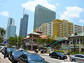
Mary Brickell Village on Miami Avenue
Coordinates: 28°04′31″N 80°41′26″W / 28.0752843°N 80.6906824°W
Categories:- Roads in Miami, Florida
- Roads in Miami-Dade County, Florida
- Shopping districts and streets in the United States

Wikimedia Foundation. 2010.