- Cowell, South Australia
-
Cowell
South Australia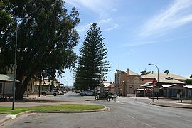
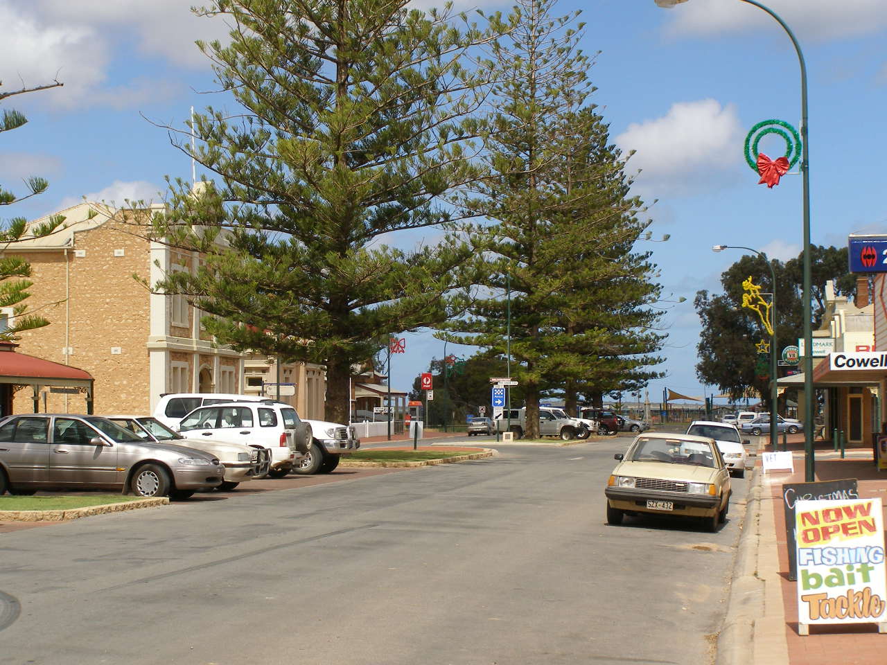
Main street of Cowell
 Cowell
Population: 880 [1] Established: 1880 Postcode: 5602 Elevation: 3 m (10 ft) Location: - 493 km (306 mi) West of Adelaide
- 161 km (100 mi) North of Port Lincoln
LGA: District Council of Franklin Harbour State District: Giles Federal Division: Grey Mean max temp Mean min temp Annual rainfall 23.5 °C
74 °F11.3 °C
52 °F221.3 mm
8.7 in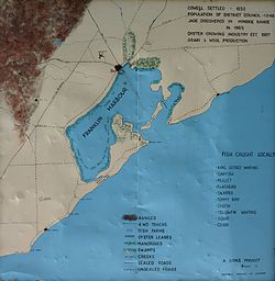 Map of Franklin Harbour
Cowell is a coastal town on Franklin Harbour on the eastern side of the Eyre Peninsula, in South Australia on the Lincoln Highway 111 km south from the major town of Whyalla. It is 493 km by road from Adelaide.
Franklin Harbour is a natural harbour of 49 km² in area with a channel to the sea just 100 metres wide.
The town of Cowell is the major population centre of the District Council of Franklin Harbour, and the centre of an agricultural district farming wheat and sheep. The district covers an area of 3,283 square kilometres with a district population in 2001 of 1267. Fishing, and more recently, oyster farming has also been an important industry.
Contents
History
Matthew Flinders was the first explorer to record a sighting of Franklin Harbour, mistaking the harbour for a lagoon or lake in 1802. By coincidence, Governor George Gawler named the harbour while visiting the town in 1840 in honour of Sir John Franklin (Governor of Tasmania and famous Arctic explorer), who had been a midshipman on the voyage in 1802 with Flinders. The harbour was eventually mapped in 1839 by Robert Cock who sailed into it while surveying the northerly section of Spencer Gulf.
When settlers commenced farming the area in 1853, Franklin Harbour became a logical place to load ships for export of wheat and wool and a small settlement was soon established. In 1880 the Governor, Sir William Jervois, named the town of Cowell after Sir John Clayton Cowell who was, at the time, the Lieutenant-Governor of Windsor Castle.
In 1965, a deposit of Jade was discovered in the nearby Minbrie Ranges. To date over 100 outcrops have been found within an area of 9 square kilometres and as such has been designated by the South Australian Department of Minerals and Energy Resources as the "Cowell Jade Province".
The Franklin Harbour Historical Museum situated in the old Post Office residence in the Main Street of Cowell preserves many historically important artefacts of the region, both natural and manmade.
Geography
The township of Cowell lies on Franklin Harbour, a naturally a land-locked bay with a narrow entrance through which the tide rushes in and out. This results in calm waters inside the harbour, with much of the bay being dominated by shallow tidal mud flats and associated mangrove ecosystems. Due to the velocity of the tide through the harbour’s entrance, the waters of the bay are constantly filled with clay and silt particles that are kept in suspension by the moving water. There are very few sandy beaches lining the harbour due to this fact. The Franklin Harbour Conservation Park is established on the southern arm of the harbour and Entrance Island.
Inland, the landscape is dominated by agricultural land, as well as areas of untouched vegetation on the coastal areas. The Minbrie Ranges can be found further inland.
Economy
Agriculture and commercial fishing have long been the dominant sectors of the local economy, with commodities such as wheat and wool being the driving force for the establishment of the town.
The major crops of the area are cereals such as wheat, barley and oats, with legumes also grown. Sheep are still farmed in the district, with the Cattle and Goats introduced more recently.
Aquaculture has become a vital part of the economy in Franklin Harbour in recent years. The excellent tidal flow makes it suitable for the farming of Pacific Oysters, which are regarded as some of the best quality produced in South Australia.
Tourism is an important economic drive for the town, with tourists flocking to the area in Easter and over the summer holidays. Fishing for many species including King George and Silver whiting, Garfish, Mullet, Flathead, Snapper, Tommy Ruff, Snook, Yellowfin Whiting, squid and crabs is very popular, with other forms of water sport available further up the coastline.
There are other attractions such as Cowell Jade, which showcases the region’s Jade, as well as numerous scenic drives, some of which are suitable for 4x4 only.
Historical locations include the site of children's author May Gibb's first Australian residence. A memorial stands 10 km from Cowell, along the Cowell to Cleve road.
Local mythology includes reports of "Drop bear" sightings between Cowell and Arno Bay.
Community and Demographics
At the time of the 2001 census, the population of Cowell was recorded at 791. Of those, 740 were born in Australia, with the majority of immigrants being from England. The most common religion in the area was Christianity, with a number of churches in the town to support this.
There are two hotels present in the town, both on the main street. There are a variety of sporting clubs, including football, cricket and netball clubs; all which compete in local leagues.
The town also has a hospital, an area school and a police station to service the district.
Government
Cowell and its districts comprise the District Council of Franklin Harbour local government area. Cowell is included in the state electoral district of Giles and the federal Division of Grey.
Transport
Cowell is around five hours drive from Adelaide and the Stateliner bus service runs daily buses to Port Lincoln with a stop in Cowell.
The Sea SA ferry service used to depart from nearby Lucky Bay to Wallaroo, but the ferry company no longer owns a ferry.
Gallery
-

Main street, Cowell
-
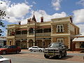
Commercial Hotel, Cowell
-

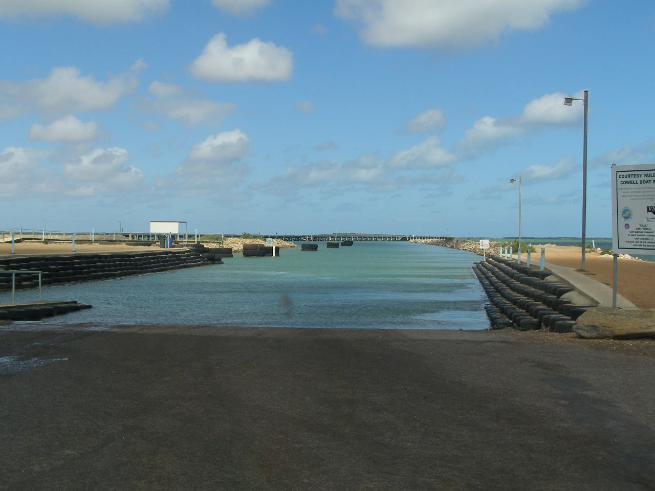
Boat ramp, Cowell
-
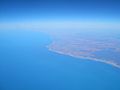
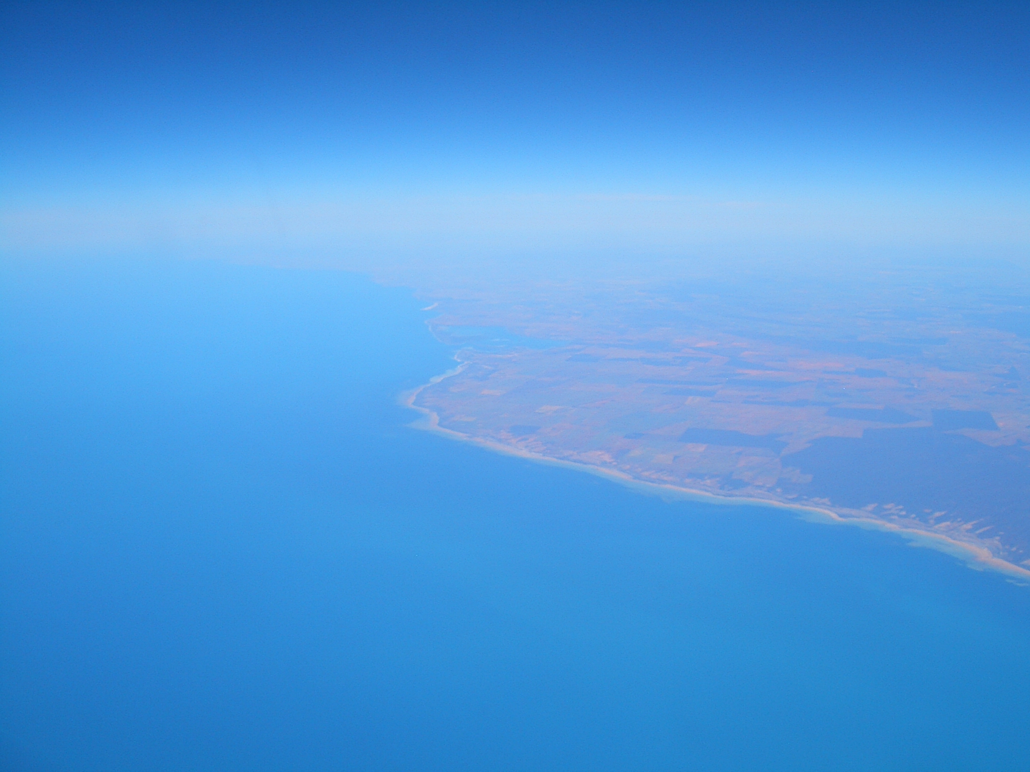
Aerial view of the area
References
- ^ Australian Bureau of Statistics (25 October 2007). Cowell (Urban Centre/Locality). 2006 Census Quickstats. Retrieved on 2008-05-25
External links
- Cowell Street Map
- Tourism Eyre Peninsula
- Sydney Morning Herald Travel
- District Council of Franklin Harbour
- Climate statistics for region
- Cowell Tourist page
Coordinates: 33°41′S 136°55′E / 33.683°S 136.917°E
Towns and localities of the District Council of Franklin Harbour Carpa · Charleston · Coolanie · Cowell · Elbow Hill · Franklin Harbour · Glynn · Hawker · Heggaton · James · Lucky Bay · Mangalo · McGregor · Midurnie · Miltalie · Miltalie North · Minbrie · Mitchellville · Mount Millar · Playford · Port Gibbon · Pondooma · Utera · Warren · Wilton · YabmanaEyre Peninsula, South Australia Cities Townships Arno Bay · Baird Bay · Ceduna · Cleve · Coffin Bay · Cowell · Cummins · Darke Peak · Denial Bay · Elliston · Iron Knob · Kimba · Kyancutta · Lock · Minnipa · Poochera · Port Kenny · Port Neill · Pygery · Sceale Bay · Smoky Bay · Streaky Bay · Thevenard · Tumby Bay · Venus Bay · Wangary · Wirrulla · Wudinna · Yaninee · YeelannaNational parks Coffin Bay National Park · Gawler Ranges National Park · Lake Gilles Conservation Park · Lincoln National ParkIslands Councils Categories:- Towns in South Australia
- Coastal towns in South Australia
- Eyre Peninsula


Wikimedia Foundation. 2010.