- Coffin Bay, South Australia
-
Coffin Bay
South Australia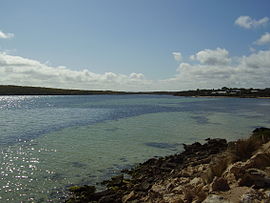
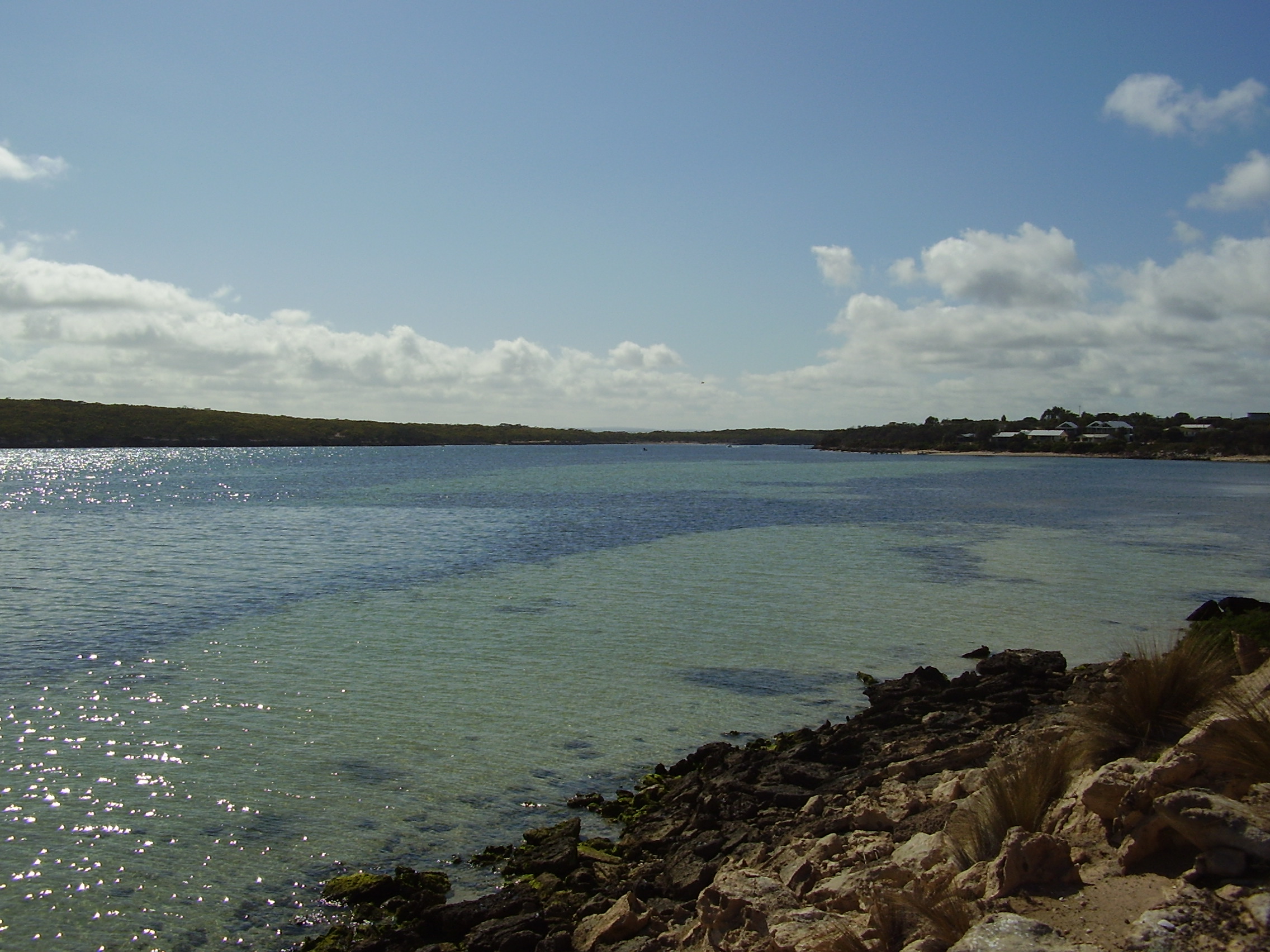
View down Coffin Bay Channel
 Coffin Bay
Population: 584 (2006 Census)[1] Established: 1830s Postcode: 5607 Location: 46 km (29 mi) from Port Lincoln LGA: District Council of Lower Eyre Peninsula State District: Flinders Federal Division: Grey Coffin Bay (34°37′S 135°28′E / 34.617°S 135.467°E[2],) is a town at the southern extremity of the Eyre Peninsula, which is a wheat growing area of South Australia. At the 2006 census, Coffin Bay had a population of 584.[1]
The town is situated on the western side of the southern tip of Eyre Peninsula about 46 km from Port Lincoln. The population swells during holiday seasons to more than 2,000 people due to its proximity to the Coffin Bay National Park.
It is a popular location for boating, sailing, swimming, water-skiing, skindiving and wind-surfing, as well as fishing (rock, surf, angling and boat).
Oyster farming is conducted in the quiet waters of Coffin Bay.
Coffin Bay is in the District Council of Lower Eyre Peninsula local government area, the state electoral district of Flinders and the federal Division of Grey.
Contents
History
The Parnkalla people occupied the area prior to white settlement in the 1830s.
British naval explorer Matthew Flinders named the bay on 16 February 1802 in honour of his friend Sir Isaac Coffin, who was Resident Naval Commissioner at Sheerness, where the Investigator was fitted out.[3]
In 1966, Broken Hill Proprietary Company Limited established a private railway between Coffin Bay and Port Lincoln to convey lime sands[4]. It was closed in the early 1970s.
See also
References
- ^ a b Australian Bureau of Statistics (25 October 2007). "Coffin Bay (L) (Urban Centre/Locality)". 2006 Census QuickStats. http://www.censusdata.abs.gov.au/ABSNavigation/prenav/LocationSearch?collection=Census&period=2006&areacode=UCL405000&producttype=QuickStats&breadcrumb=PL&action=401. Retrieved 27 July 2011.
- ^ "Coffin Bay". Gazetteer of Australia online. Geoscience Australia, Australian Government. http://www.ga.gov.au/bin/gazd01?rec=171344.
- ^ "Place names of South Australia". The Manning Index of South Australian History. State Library of South Australia. http://www.slsa.sa.gov.au/manning/pn/c/c8.htm#coffinB. Retrieved 2006-05-06.
- ^ A Standard Gauge Industrial Railway in Mothballs Buckland, J.L. Australian Railway Historical Society Bulletin, August, 1977
External links
Towns and Localities of the District Council of Lower Eyre Peninsula Big Swamp · Boston · Brimpton Lake · Charlton Gully · Coffin Bay · Coomunga · Coulta · Cummins · Edillilie · Flinders · Green Patch · Kapinnie · Karkoo · Kiana · Lake Wangary · Lincoln · Little Swamp · Louth · Louth Bay · Mitchell · Mortlock · Mount Drummond · Mount Dutton Bay · Mount Hope · North Shields · Poonindie · Proper Bay · Shannon · Sleaford · Sleaford Bay · Stamford · Tod River · Tulka · Uley · Ulipa · Wangary · Wanilla · Warrow · White Flat · YeelannaEyre Peninsula, South Australia Cities Townships Arno Bay · Baird Bay · Ceduna · Cleve · Coffin Bay · Cowell · Cummins · Darke Peak · Denial Bay · Elliston · Iron Knob · Kimba · Kyancutta · Lock · Minnipa · Poochera · Port Kenny · Port Neill · Pygery · Sceale Bay · Smoky Bay · Streaky Bay · Thevenard · Tumby Bay · Venus Bay · Wangary · Wirrulla · Wudinna · Yaninee · YeelannaNational parks Coffin Bay National Park · Gawler Ranges National Park · Lake Gilles Conservation Park · Lincoln National ParkIslands Councils Categories:- Towns in South Australia
- Coastal towns in South Australia
- Eyre Peninsula
- Bays of South Australia

Wikimedia Foundation. 2010.