- Stewkley
-
Coordinates: 51°55′34″N 0°45′40″W / 51.9262°N 0.7610°W
Stewkley 
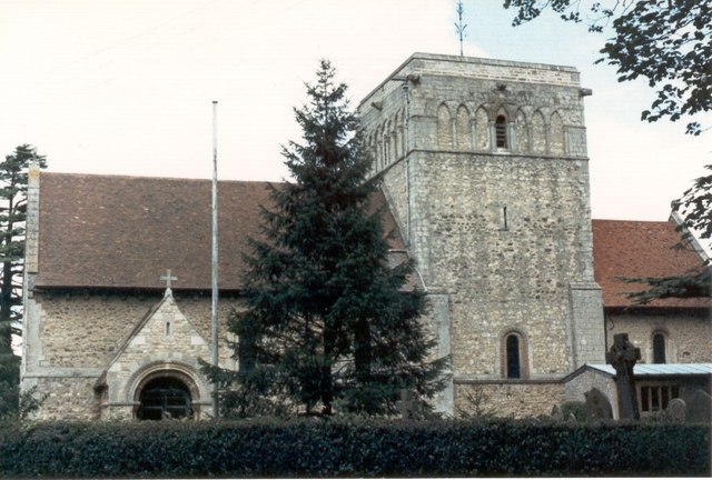
St Michael & All Angels Church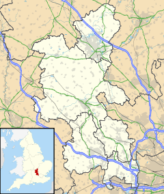
 Stewkley
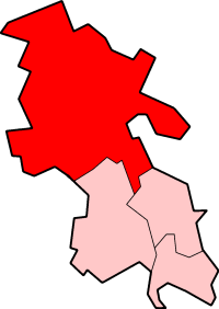
Stewkley shown within BuckinghamshirePopulation 1,731 [1] OS grid reference SP853261 Parish Stewkley District Aylesbury Vale Shire county Buckinghamshire Region South East Country England Sovereign state United Kingdom Post town LEIGHTON BUZZARD Postcode district LU7 Dialling code 01525 Police Thames Valley Fire Buckinghamshire Ambulance South Central EU Parliament South East England UK Parliament Buckingham List of places: UK • England • Buckinghamshire Stewkley is a village and a civil parish within the Aylesbury Vale district of Buckinghamshire, England. It is located 5 miles (8 km) East of Winslow and 4 miles (6 km) West of Leighton Buzzard.
The village name Stewkley is Anglo Saxon in origin, and means woodland clearing with tree stumps. In the Domesday Book of 1086 it was recorded as Stiuclai.
The principal manor in Stewkley once belonged to the son of Geoffrey Chaucer, who was an occasional visitor to the village.
The parish church, dedicated to St Michael and All Angels, is one of the least-altered of England's 6000 Norman churches. There is also a Methodist Chapel in High Street South, and St Michael's Church of England Combined School, for children aged 4–11.
In 1969/70 Stewkley was scheduled to be destroyed to make way for the building of London's Third Airport, but was saved after villagers fought an environmental and political campaign; the Wing Airport Resistance Association (WARA).
Stewkley has one of the longest village High Streets in Britain, a title also claimed by Combe Martin in Devon, whose two mile (3 km) high street is not as continuously populated as Stewkley's 1.7 miles (2.7 km) of High street.
Comedian Al Murray, best known for his stand-up persona "The Pub Landlord", was born in Stewkley.
Former England cricket player Darren Gough has also previously lived in the village.
Within the civil parish attached to the village are also the hamlets of North End and Stewkley Dean.
References
External links
- St Michael and All Angels Church.
- Stewkley Village Website
- Stewkley Green
- Stewkley Players
- Stewkley Village Hall
- Stewkley Film Archive & Movie site
Categories:- Villages in Buckinghamshire
- Civil parishes in Buckinghamshire

Wikimedia Foundation. 2010.