- Culverhouse Cross
-
Coordinates: 51°27′56″N 3°16′13″W / 51.46566°N 3.27036°W
Culverhouse Cross Welsh: Croes Cwrlwys 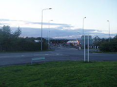
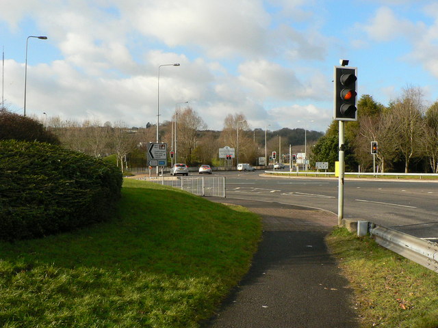
View of Culverhouse Cross from the A4050 coming from Barry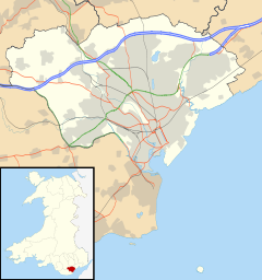
 Culverhouse Cross
Culverhouse Cross shown within CardiffOS grid reference ST118748 Principal area Cardiff Ceremonial county South Glamorgan Country Wales Sovereign state United Kingdom Post town CARDIFF Postcode district CF5 Dialling code 029 Police South Wales Fire South Wales Ambulance Welsh EU Parliament Wales UK Parliament Cardiff West Welsh Assembly Cardiff West List of places: UK • Wales • Cardiff Culverhouse Cross (Welsh: Croes Cwrlwys) is suburban district in the west of Cardiff, capital of Wales, lying on the border with the Vale of Glamorgan.
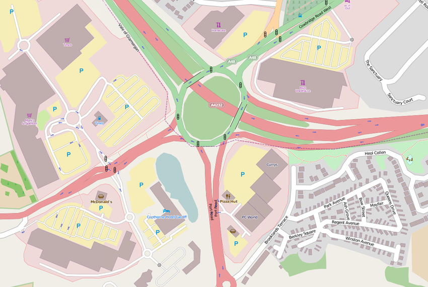
The busy Culverhouse Cross roundabout is an important part of the primary road network to the west of the city[1] and connects the A4232 (northbound to the M4 motorway Junction 33, and southbound to Cardiff Bay and Cardiff City Centre), the A4050 (to Barry), and the A48 (westbound to Cowbridge and Bridgend, and eastbound to North and East Cardiff). A number of retail parks form around the roundabout and the Copthorne Hotel Cardiff-Caerdydd.
Contents
History
According to place-name etymologist Deric Meidrum John, there has been a crossroads at Culverhouse Cross for some centuries, originally at the intersection of the Cardiff to Cowbridge turnpike and the road between the parishes of St Fagans and Wenvoe. He states that a farmhouse by the name Culverhouse existed nearby and that the word Culver refers to a pigeon. The Welsh equivalent name Cwrlwys was apparently recorded in 1776. Research at British History Online shows that the word Culverhouse may also refer to a dovecot.
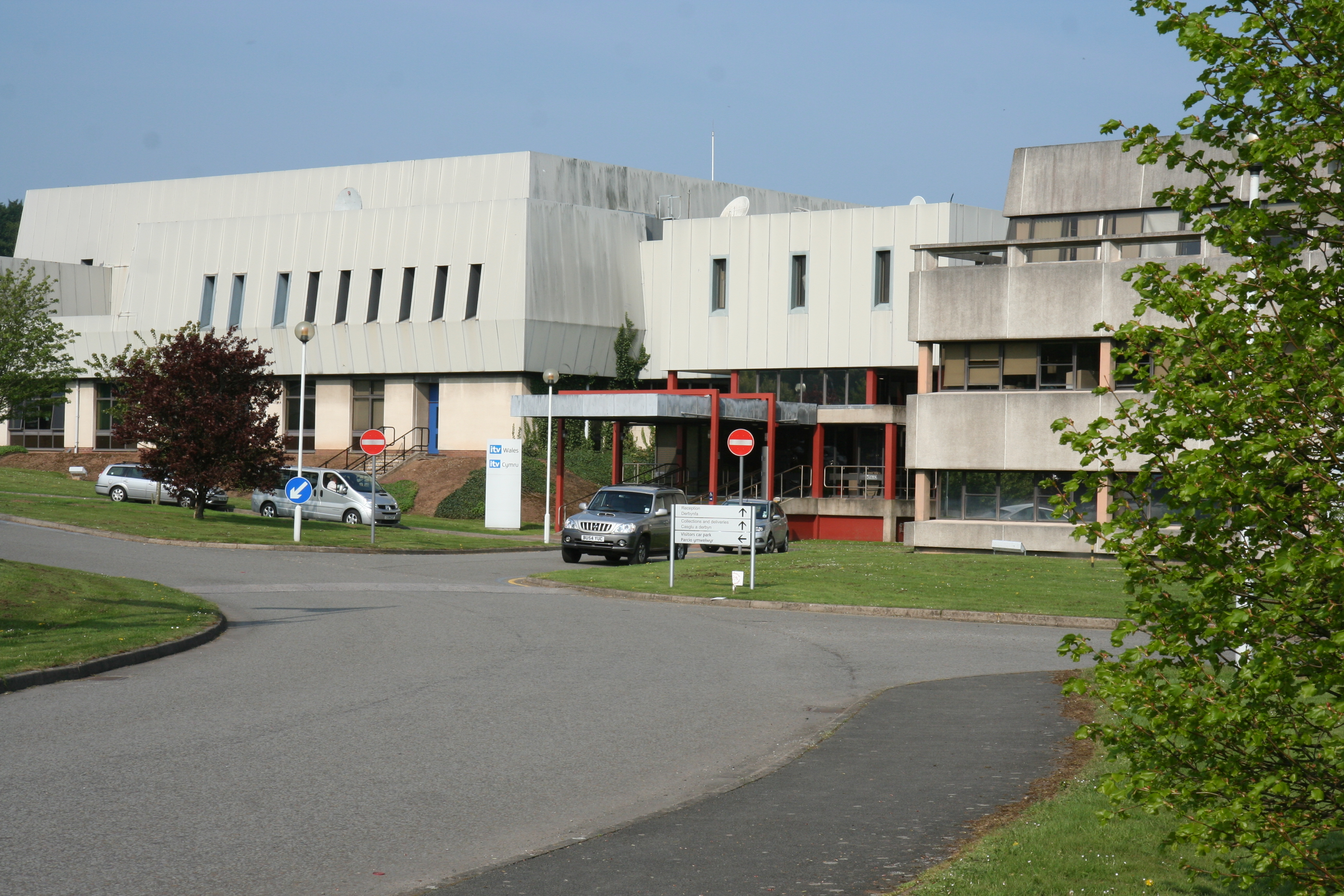
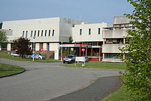 ITV Wales studios
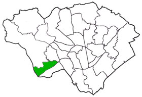
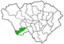 Culverhouse Cross is in the Ely electoral ward of Cardiff (shown in green)
Significant commercial and retail development of the area began in 1984 when HTV, the local commercial television contractor at that time, established television headquarters and studios and related facilities near the village of Wenvoe. Following consolidation and centralisation within the industry, the site is now owned by ITV plc and occupied by ITV Wales together with a number of entirely separate and independent media organisations, such as Nation Radio, Boomerang+ , NEP Cymru and Tidy Productions. Between them, these companies provide a diverse range of programmes in both the English and Welsh languages.
Tesco was the first store to be built in 1986 which preceded a decade of rapid development in the suburb because of its accessible location. In'n'Out is the latest new development built in early 2009. Demolition of the old Tesco superstore began in March 2007 and operated out of a temporary structure while a new Tesco Extra was built in its place. This opened on 22 October 2007.
Retail parks
All retail parks are situated on or very close to the main roundabout.
Valegate Retail Park forms around the A48 westbound exit of the roundabout towards Cowbridge and Bridgend.
Brooklands Retail Park is situated between the A4232 southbound and the A4050 exits of the roundabout.
Wenvoe Retail Park forms around the A48 eastbound exit of the roundabout.
The following stores are opposite Wenvoe Retail park on the A48 eastbound exit of the roundabout.
Roundabout exits
 Roundabout junction where the A48 and A4232 join Culverhouse Cross.
- A4232 South to Cardiff City Centre, Leckwith, Cardiff Bay and Penarth.
- A4050 to Barry, Wenvoe, (Twyn-yr-Odyn), Dinas Powys, (St. Lythan's) and Cardiff International Airport.
- A48 West to the Vale of Glamorgan - St. Nicholas, Bonvilston, Cowbridge - and Bridgend. Nearby up "The Tumble" hill along the A48 on the road to St. Nicholas is the historical estate of Coedarhydyglyn.
- A4232 North to the M4 Junction 33 (onwards to Bridgend and Llanelli, or Newport, Bristol and London).
- A48 East to Cardiff West e.g. Ely, Caerau, Fairwater, leading to St. Fagans and Western Cemetery.
 Map of Culverhouse Cross
Public transport
Culverhouse Cross is served by Cardiff Bus and First Cymru. Bus stops served by the 96 to Barry or Cardiff central bus station.
The nearest railway station, although not particularly close, is Waun-Gron Park in Fairwater. The bus services from Culverhouse Cross, however, provide a direct service to Cardiff Central railway station.
References
Coordinates: 51°27′56″N 3°16′13″W / 51.46566°N 3.27036°W
Communities of Cardiff Adamsdown · Butetown · Caerau · Canton · Cardiff Bay · Cathays · Creigiau · Culverhouse Cross · Cyncoed · Danescourt · Ely · Fairwater · Gabalfa · Grangetown · Heath · Lisvane · Llandaff · Llandaff North · Llanishen · Llanrumney · Morganstown · Pentwyn · Pentyrch · Penylan · Plasnewydd · Pontcanna · Pontprennau · Radyr · Rhiwbina · Riverside · Roath · Rumney · Splott · St Fagans · St Mellons & Old St Mellons · Thornhill · Tongwynlais · Trowbridge · Whitchurch
City of Cardiff About Cardiff Architecture · City centre (Arcades) · Culture and recreation · Economy and industry · History (Timeline) · Leisure Centres · Libraries · Media · People · Places · Politics · Sport · Tall Buildings · Transport (Bus · Rail · Cycle · Water · Air)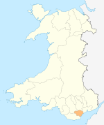
Cardiff templates North Birchgrove · Cathays · Cyncoed · Gabalfa · Heath · Lisvane · Llandaff · Llandaff North · Llanishen · Rhiwbina · Roath · Thornhill · Tongwynlais · WhitchurchWest Caerau · Canton · Creigiau · Culverhouse Cross · Danescourt · Ely · Fairwater · Pentyrch · Pontcanna · Radyr and Morganstown · St FagansSouth East Principal areas of Wales Categories:- Economy of Cardiff
- Districts of Cardiff
- Shopping centres in Wales
- British television studios
- Television in Wales
- Shopping in Cardiff
- ITV offices, studios and buildings


Wikimedia Foundation. 2010.