- Chatham Square, Manhattan
-
"Chatham Square" redirects here. For the housing complex in Orlando, Florida, see Disney College Program.
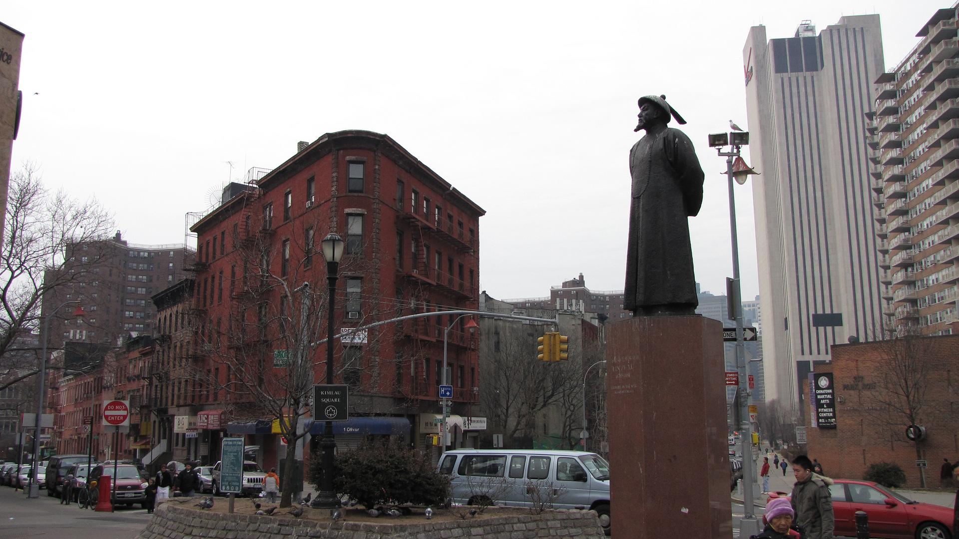
 Kimlau Square a park located in Chatham Square, the street on left is Oliver Street; on the right is St. James Place created in 1855. The statue is of Lin Zexu
Chatham Square is a major intersection in Manhattan's Chinatown. The square lies at the confluence of seven streets: Bowery, East Broadway, St. James Place, Mott Street, Oliver Street, Worth Street and Park Row. The postal ZIP Code is 10038.
Contents
History
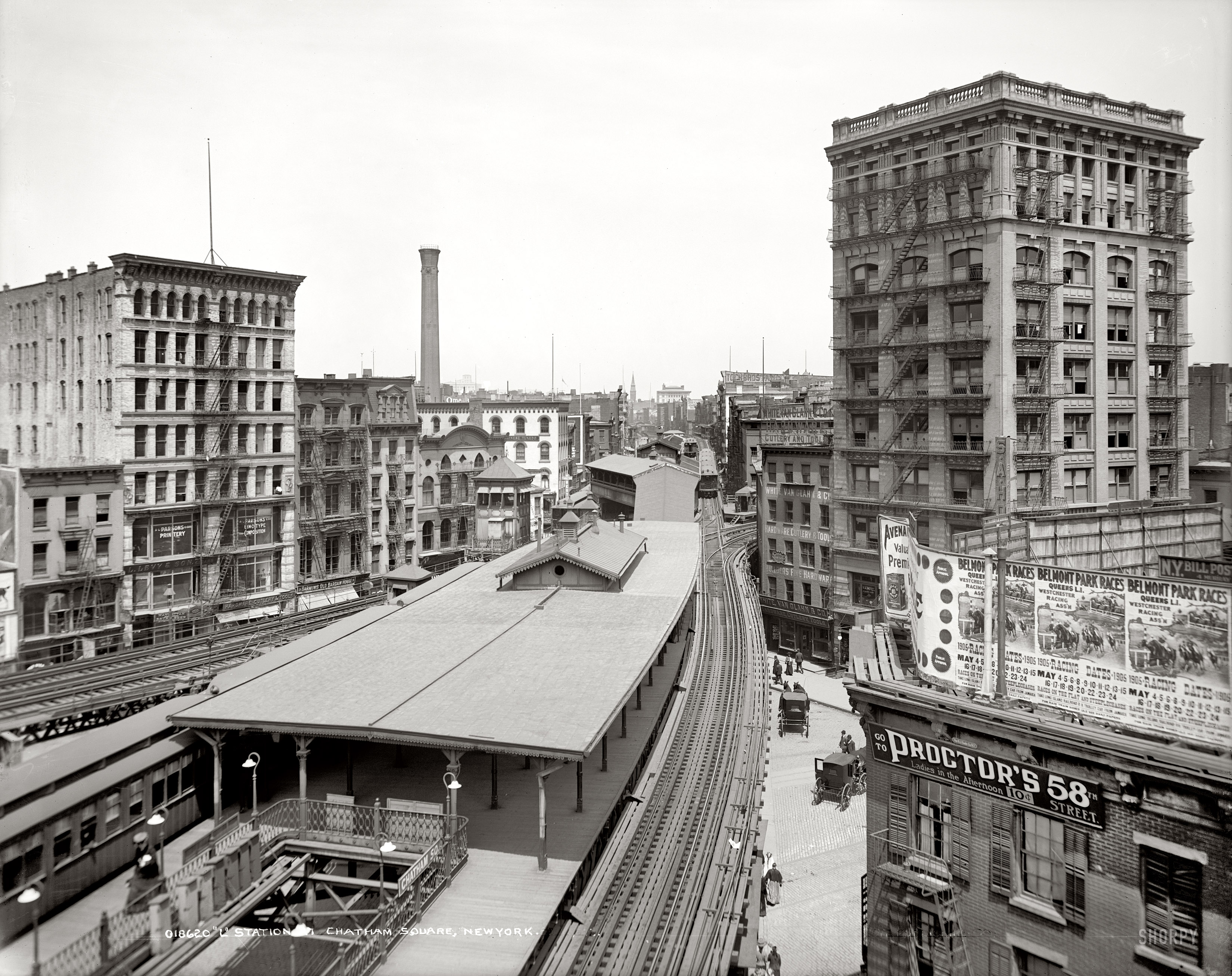
 Chatham Square in 1905
Chatham Square was named for William Pitt, 1st Earl of Chatham and Prime Minister of Great Britain before the American Revolution. Pitt Street in the Lower East Side is also named for him, and Park Row was once Chatham Street.[1]
Up until about 1820, the square was used as a large open air market for goods and livestock, mainly horses. By the mid-19th century, it became a center for tattoo parlors, flophouses and saloons, as a seedy section of the old Five Points neighborhood. In the 20th century, after The Great Depression and Prohibition, the area was reformed.
The Kimlau Memorial Arch was erected by the American Legion, Lt. B.R. Kimlau Post 1291 in 1962 to honor United States service members of Chinese ancestry who have fought and died serving their country. The arch is named after 26-year-old 2nd Lt. Benjamin Ralph Kimlau, an aircraft commander in the 380th Bombardment Group who was shot down on a mission over Los Negros Island on March 5, 1944 during World War II. This memorial, bears calligraphy by famous Chinese calligrapher and poet Yu Youren (于右任). There is also a statue of Lin Zexu in the square.
Rapid transit
Chatham Square was a major station on both the Second Avenue Elevated Line and the Third Avenue Elevated Line, until they closed in 1942 and 1955, respectively. As of 2007, a new subway line to replace those elevated lines is under construction. The line's Phase 1 is being built from 63rd Street to 96th Street. A new station is proposed for Chatham Square as part of Phase 4.
References
- ^ Moscow, Henry (1978). THE STREET BOOK: An Encyclopedia of Manhattan’s Street Names and Their Origins. New York City, New York: Fordham University Press. ISBN 0-8232-1275-0.
External links
Coordinates: 40°42′49″N 73°59′53″W / 40.713533°N 73.997941°W

This article relating to roads and streets in New York City is a stub. You can help Wikipedia by expanding it.