National Register of Historic Places listings in Walker County, Georgia
- National Register of Historic Places listings in Walker County, Georgia
-
This is a list of properties and districts in Walker County, Georgia that are listed on the National Register of Historic Places (NRHP).
-
- This National Park Service list is complete through NPS recent listings posted November 10, 2011.[1]
Current listings
|
Landmark name |
Image |
Date listed |
Location |
City or Town |
Summary |
| 1 |
Ashland Farm |
|
01973-10-18 October 18, 1973 |
SW of Rossville off GA 193
34°57′16″N 85°20′46″W / 34.95444°N 85.34611°W / 34.95444; -85.34611 (Ashland Farm) |
Rossville |
|
| 2 |
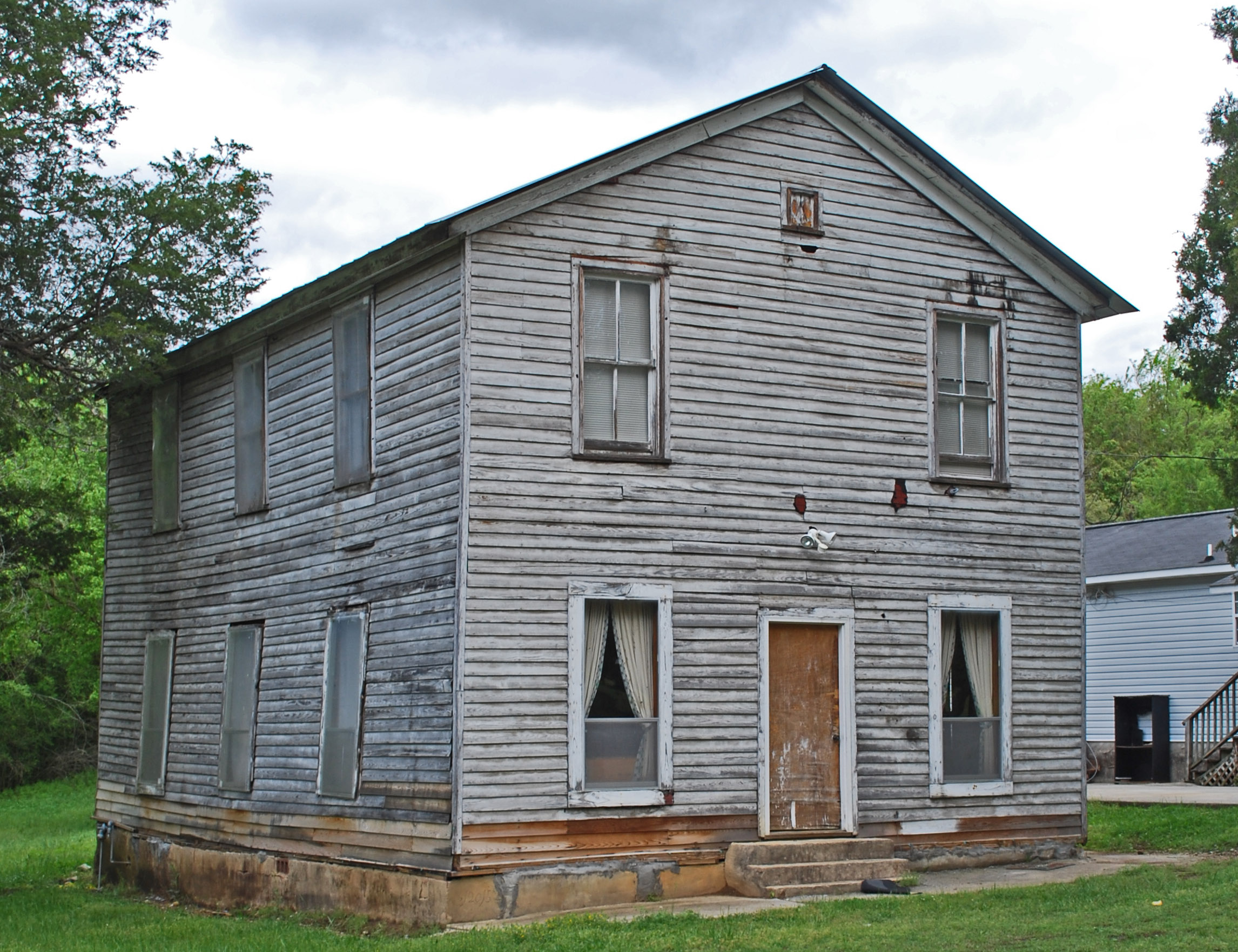
Cavender's Store |
|
01992-03-20 March 20, 1992 |
Jct. of GA 201 and GA 136, SW corner
34°40′25″N 85°6′54″W / 34.67361°N 85.115°W / 34.67361; -85.115 (Cavender's Store) |
Villanow |
|
| 3 |
Chattooga Academy |
|
01980-02-15 February 15, 1980 |
306 N. Main St.
34°42′31″N 85°16′51″W / 34.70861°N 85.28083°W / 34.70861; -85.28083 (Chattooga Academy) |
LaFayette |
|
| 4 |
Chickamauga and Chattanooga National Military Park |
 |
01966-10-15 October 15, 1966 |
S of Chattanooga on U.S. 27
34°58′09″N 85°17′07″W / 34.96917°N 85.28528°W / 34.96917; -85.28528 (Chickamauga and Chattanooga National Military Park) |
Wildwood |
|
| 5 |
Chickamauga Coal and Iron Company Coke Ovens |
 |
02009-04-09 April 9, 2009 |
Georgia State Route 341
34°52′53″N 85°17′43″W / 34.88139°N 85.29528°W / 34.88139; -85.29528 (Chickamauga Coal and Iron Company Coke Ovens) |
Chickamauga |
|
| 6 |
Chickamauga Historic District |
|
02007-07-20 July 20, 2007 |
Roughly centered on Cove Rd. and bounded by Crescent, Pearl, & 6th Sts. and the Central of Georgia RR |
Chickamauga |
|
| 7 |
Chickamauga Lodge No. 221, Free and Accepted Masons, Prince Hall Affiliate |
 |
02006-08-30 August 30, 2006 |
1378 GA 341 S
34°51′24″N 85°18′19″W / 34.85667°N 85.30528°W / 34.85667; -85.30528 (Chickamauga Lodge No. 221, Free and Accepted Masons, Prince Hall Affiliate) |
Chickamauga |
|
| 8 |
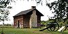
Gordon-Lee House |
|
01976-03-22 March 22, 1976 |
217 Cove Rd. |
Chickamauga |
|
| 9 |
Lane House |
|
01976-12-12 December 12, 1976 |
Weathers Dr., east of Kensington
34°46′43″N 85°20′24″W / 34.77861°N 85.34°W / 34.77861; -85.34 (Lane House)[2] |
Kensington |
|
| 10 |
Lee and Gordon Mill |
 |
01980-02-08 February 8, 1980 |
Red Belt Rd.
34°53′01″N 85°16′1″W / 34.88361°N 85.26694°W / 34.88361; -85.26694 (Lee and Gordon Mill) |
Chickamauga |
|
| 11 |
Lookout Mountain Fairyland Club |
|
01990-06-21 June 21, 1990 |
1201 Fleetwood Dr.
34°58′31″N 85°20′55″W / 34.97528°N 85.34861°W / 34.97528; -85.34861 (Lookout Mountain Fairyland Club) |
Lookout Mountain |
|
| 12 |
Marsh-Warthen House |
 |
02005-01-12 January 12, 2005 |
N. Main St.
34°42′33″N 85°16′52″W / 34.70917°N 85.28111°W / 34.70917; -85.28111 (Marsh--Warthen House) |
LaFayette |
|
| 13 |
McLemore Cove Historic District |
|
01994-09-23 September 23, 1994 |
3 mi. S of Chickamauga, in an area roughly bounded by Lookout and Pigeon Mtns., and GA 136
34°44′22″N 85°23′13″W / 34.73944°N 85.38694°W / 34.73944; -85.38694 (McLemore Cove Historic District) |
Kensington |
|
| 14 |
Miller Brothers Farm |
|
01987-08-06 August 6, 1987 |
GA 912
34°46′23″N 85°22′32″W / 34.77306°N 85.37556°W / 34.77306; -85.37556 (Miller Brothers Farm) |
Kensington |
|
| 15 |
John Ross House |
 |
01973-11-07 November 7, 1973 |
Lake Ave. and Spring St.
34°58′53″N 85°17′0″W / 34.98139°N 85.283333°W / 34.98139; -85.283333 (Ross, John, House) |
Rossville |
|
| 16 |
US Post Office-Rossville Main |
 |
01986-08-06 August 6, 1986 |
301 Chickamauga Ave.
34°58′59″N 85°17′11″W / 34.98306°N 85.28639°W / 34.98306; -85.28639 (US Post Office--Rossville Main) |
Rossville |
|
| 17 |
Walker County Courthouse |
|
01980-09-18 September 18, 1980 |
Duke St.
34°42′15″N 85°16′50″W / 34.70417°N 85.28056°W / 34.70417; -85.28056 (Walker County Courthouse) |
LaFayette |
|
References
Categories: - National Register of Historic Places in Georgia (U.S. state)
- Buildings and structures in Walker County, Georgia
Wikimedia Foundation.
2010.
Look at other dictionaries:
National Register of Historic Places listings in Fulton County, Georgia — This is a list of properties and districts in Fulton County, Georgia that are listed on the National Register of Historic Places (NRHP). It covers most of the NRHP properties in Atlanta, Georgia; other Atlanta listings are covered in National… … Wikipedia
National Register of Historic Places listings in Muscogee County, Georgia — This is a list of properties and districts in Muscogee County, Georgia that are listed on the National Register of Historic Places (NRHP). Map of all coordinates from Google Map of all coordinates from Bing … Wikipedia
National Register of Historic Places listings in Richmond County, Georgia — This is a list of properties and districts in Richmond County, Georgia that are listed on the National Register of Historic Places (NRHP). Map of all coordinates from Google Map of all coordinates from Bing … Wikipedia
National Register of Historic Places listings in Rockdale County, Georgia — This is a list of properties and districts in Rockdale County, Georgia that are listed on the National Register of Historic Places (NRHP). Map of all coordinates from Google Map of all coordinates from Bing … Wikipedia
National Register of Historic Places listings in Banks County, Georgia — This is a list of properties and districts in Banks County, Georgia that are listed on the National Register of Historic Places (NRHP). Map of all coordinates from Google Map of all coordinates from Bing … Wikipedia
National Register of Historic Places listings in Bartow County, Georgia — This is a list of properties and districts in Bartow County, Georgia that are listed on the National Register of Historic Places (NRHP). Map of all coordinates from Google Map of all coordinates from Bing … Wikipedia
National Register of Historic Places listings in Bibb County, Georgia — This is a list of properties and districts in Bibb County, Georgia that are listed on the National Register of Historic Places (NRHP). Map of all coordinates from Google Map of all coordinates from Bing … Wikipedia
National Register of Historic Places listings in Bulloch County, Georgia — This is a list of properties and districts in Bulloch County, Georgia that are listed on the National Register of Historic Places (NRHP). Map of all coordinates from Google Map of all coordinates from Bing … Wikipedia
National Register of Historic Places listings in Catoosa County, Georgia — This is a list of properties and districts in Catoosa County, Georgia that are listed on the National Register of Historic Places (NRHP). Map of all coordinates from Google Map of all coordinates from Bing … Wikipedia
National Register of Historic Places listings in Clarke County, Georgia — This is a list of properties and districts in Clarke County, Georgia that are listed on the National Register of Historic Places (NRHP). Map of all coordinates from Google Map of all coordinates from Bing … Wikipedia