National Register of Historic Places listings in Lamar County, Georgia
- National Register of Historic Places listings in Lamar County, Georgia
-
This is a list of properties and districts in Lamar County, Georgia that are listed on the National Register of Historic Places (NRHP).
-
- This National Park Service list is complete through NPS recent listings posted November 10, 2011.[1]
Current listings
|
Landmark name |
Image |
Date listed |
Location |
City or Town |
Summary |
| 1 |
Barnesville Commercial Historic District |
|
01995-06-20 June 20, 1995 |
Roughly bounded by College, Taylor and Market Sts. and the Central of GA RR tracks
33°3′17″N 84°9′18″W / 33.05472°N 84.155°W / 33.05472; -84.155 (Barnesville Commercial Historic District) |
Barnesville |
|
| 2 |
Barnesville Depot |
|
01986-04-30 April 30, 1986 |
Plaza Way and Main St.
33°3′16″N 84°9′21″W / 33.05444°N 84.15583°W / 33.05444; -84.15583 (Barnesville Depot) |
Barnesville |
|
| 3 |
Carnegie Library of Barnesville |
|
01987-02-03 February 3, 1987 |
Library St.
33°3′10″N 84°9′30″W / 33.05278°N 84.15833°W / 33.05278; -84.15833 (Carnegie Library of Barnesville) |
Barnesville |
|
| 4 |
Benjamin Gachet House |
|
01997-04-17 April 17, 1997 |
GA 18, 3 mi. W of Barnesville
0°0′0″N 91°29′19″W / 0°N 91.48861°W / 0; -91.48861 (Gachet, Benjamin, House) |
Barnesville |
|
| 5 |
Johnstonville-Goggins Historic District |
|
02000-11-02 November 2, 2000 |
Johnstonville Road, west of Interstate 75
33°5′21.6″N 84°4′27.2″W / 33.089333°N 84.074222°W / 33.089333; -84.074222 (Johnstonville--Goggins Historic District) |
Johnstonville |
|
| 6 |
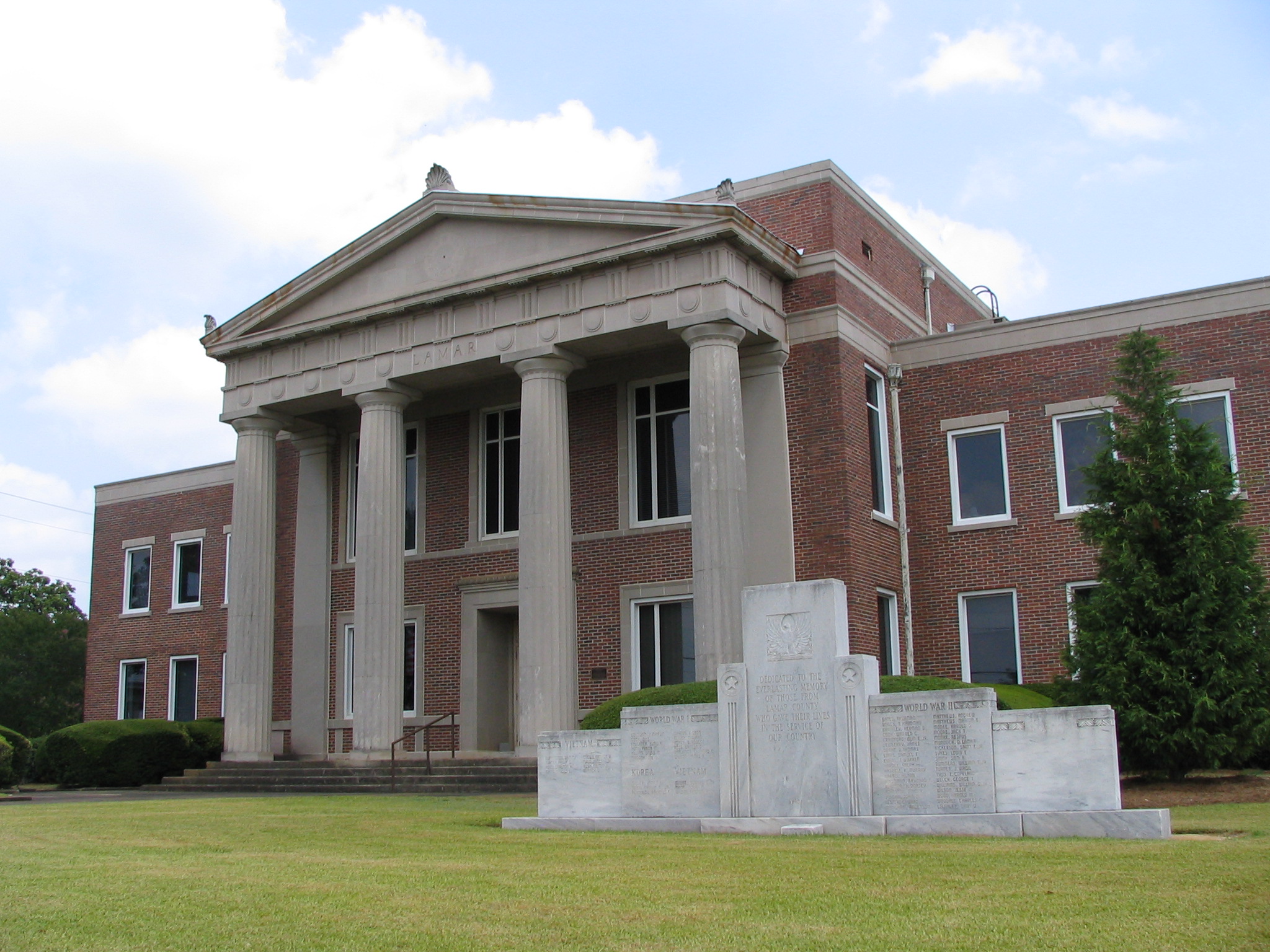
Lamar County Courthouse |
 |
01980-09-18 September 18, 1980 |
Thomaston St.
33°3′8″N 84°9′22″W / 33.05222°N 84.15611°W / 33.05222; -84.15611 (Lamar County Courthouse) |
Barnesville |
|
| 7 |
Redbone Community House |
|
01998-04-09 April 9, 1998 |
Community House Rd., jct. with Sappington Rd.
32°59′22″N 84°5′50″W / 32.98944°N 84.09722°W / 32.98944; -84.09722 (Redbone Community House) |
Barnesville |
|
| 8 |
Thomaston Street Historic District |
|
01995-07-28 July 28, 1995 |
Roughly, along Thomaston and Greenwood Sts. and Stafford and Georgia Aves.
33°2′46″N 84°9′35″W / 33.04611°N 84.15972°W / 33.04611; -84.15972 (Thomaston Street Historic District) |
Barnesville |
|
References
Categories:
- National Register of Historic Places in Georgia (U.S. state)
- Buildings and structures in Lamar County, Georgia
Wikimedia Foundation.
2010.
Look at other dictionaries:
National Register of Historic Places listings in Fulton County, Georgia — This is a list of properties and districts in Fulton County, Georgia that are listed on the National Register of Historic Places (NRHP). It covers most of the NRHP properties in Atlanta, Georgia; other Atlanta listings are covered in National… … Wikipedia
National Register of Historic Places listings in Richmond County, Georgia — This is a list of properties and districts in Richmond County, Georgia that are listed on the National Register of Historic Places (NRHP). Map of all coordinates from Google Map of all coordinates from Bing … Wikipedia
National Register of Historic Places listings in Lincoln County, Georgia — This is a list of properties and districts in Lincoln County, Georgia that are listed on the National Register of Historic Places (NRHP). Map of all coordinates from Google Map of all coordinates from Bing … Wikipedia
National Register of Historic Places listings in Muscogee County, Georgia — This is a list of properties and districts in Muscogee County, Georgia that are listed on the National Register of Historic Places (NRHP). Map of all coordinates from Google Map of all coordinates from Bing … Wikipedia
National Register of Historic Places listings in Bulloch County, Georgia — This is a list of properties and districts in Bulloch County, Georgia that are listed on the National Register of Historic Places (NRHP). Map of all coordinates from Google Map of all coordinates from Bing … Wikipedia
National Register of Historic Places listings in Banks County, Georgia — This is a list of properties and districts in Banks County, Georgia that are listed on the National Register of Historic Places (NRHP). Map of all coordinates from Google Map of all coordinates from Bing … Wikipedia
National Register of Historic Places listings in Barrow County, Georgia — This is a list of properties and districts in Barrow County, Georgia that are listed on the National Register of Historic Places (NRHP). Map of all coordinates from Google Map of all coordinates from Bing … Wikipedia
National Register of Historic Places listings in Bartow County, Georgia — This is a list of properties and districts in Bartow County, Georgia that are listed on the National Register of Historic Places (NRHP). Map of all coordinates from Google Map of all coordinates from Bing … Wikipedia
National Register of Historic Places listings in Bibb County, Georgia — This is a list of properties and districts in Bibb County, Georgia that are listed on the National Register of Historic Places (NRHP). Map of all coordinates from Google Map of all coordinates from Bing … Wikipedia
National Register of Historic Places listings in Catoosa County, Georgia — This is a list of properties and districts in Catoosa County, Georgia that are listed on the National Register of Historic Places (NRHP). Map of all coordinates from Google Map of all coordinates from Bing … Wikipedia