- National Register of Historic Places listings in Coweta County, Georgia
-
This is a list of properties and districts in Coweta County, Georgia that are listed on the National Register of Historic Places (NRHP).
-
- This National Park Service list is complete through NPS recent listings posted November 10, 2011.[1]
Current listings
Landmark name Image Date listed Location City or Town Summary 1 W. A. Brannon Store-Moreland Knitting Mills December 12, 1985 Main St.
33°17′7″N 84°46′11″W / 33.28528°N 84.76972°WMoreland 2 Cole Town District September 30, 1982 Roughly bounded by Washington, Thompson, and Davis Sts., and Hooligan Alley
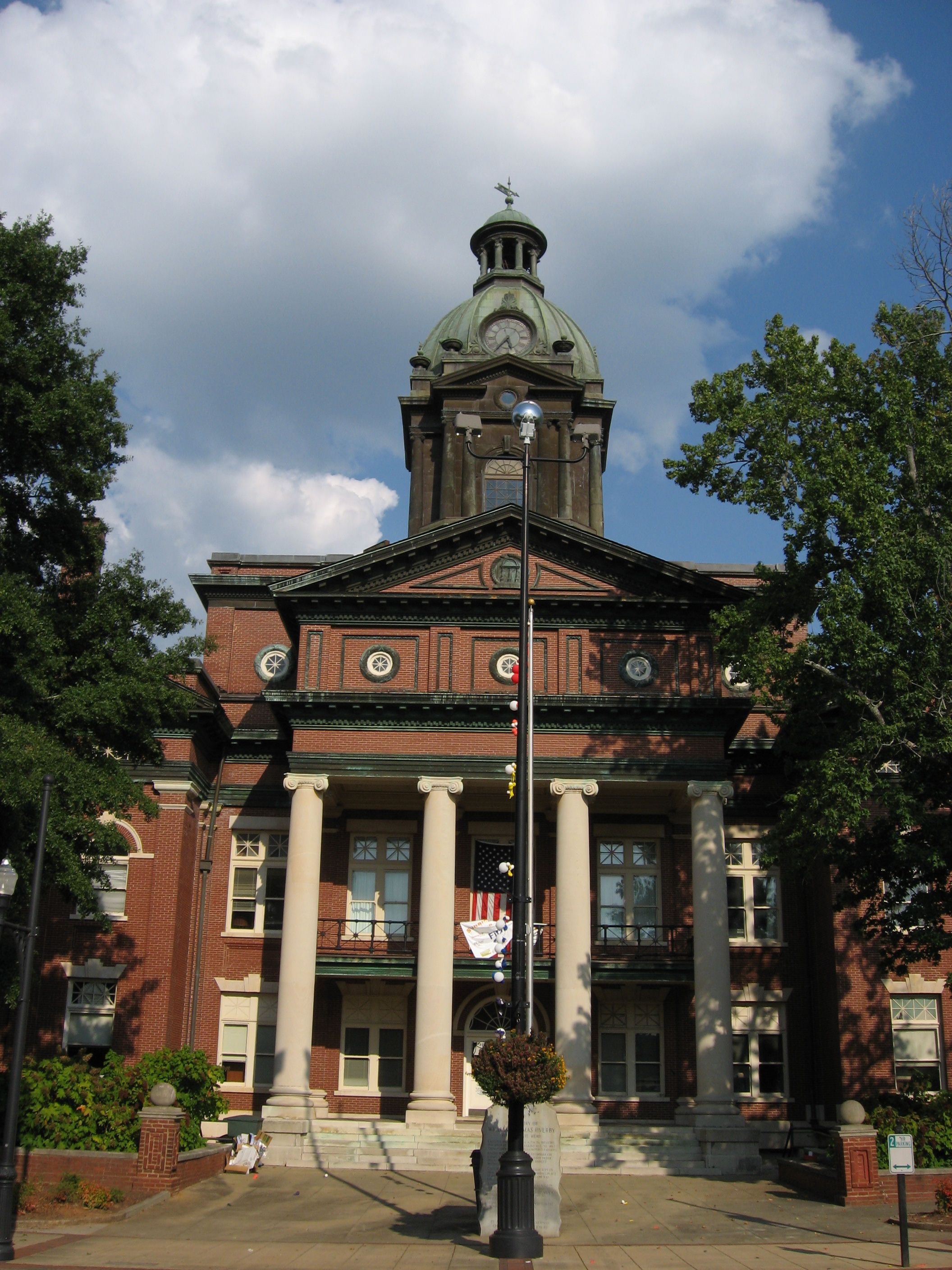
33°22′22″N 84°47′39″W / 33.37278°N 84.79417°WNewnan 3 Coweta County Courthouse 
September 18, 1980 Courthouse Sq.
33°22′29″N 84°48′1″W / 33.37472°N 84.80028°WNewnan 4 William Leonard Crowder Home Place March 17, 1986 1615 Handy Rd.
33°22′38″N 84°58′7″W / 33.37722°N 84.96861°WNewnan 5 Goodwyn-Bailey House October 29, 1992 2295 Old Poplar Rd.
33°21′5″N 84°42′22″W / 33.35139°N 84.70611°WNewnan 6 Gordon-Banks House January 20, 1972 S of Newnan on U.S. 29
33°20′28″N 84°47′1″W / 33.34111°N 84.78361°WNewnan 7 Grantville Historic District June 14, 1991 Bounded by US 29, LaGrange St., W. Grantville Rd. and the city cemetery
33°14′7″N 84°50′5″W / 33.23528°N 84.83472°WGrantville 8 Greenville Street-LaGrange Street Historic District April 28, 1983 LaGrange, Nimmons, Greenville, Powell, Reese, Powell and Buchanan Sts.
33°21′57″N 84°48′2″W / 33.36583°N 84.80056°WNewnan 9 Henderson-Orr House June 2, 2000 Jct. of Thomas Powers Rd. and GA 34
33°20′15″N 84°58′51″W / 33.3375°N 84.98083°WStallings Crossing 10 Hollberg Hotel March 10, 1980 Seavy and Barnes Sts.
33°18′4″N 84°33′11″W / 33.30111°N 84.55306°WSenoia 11 Newnan Commercial Historic District March 20, 1990 Roughly bounded by Lee, Perry, Salbide, Lagrange, W. Spring, Brown, Madison, and Jefferson
33°22′28″N 84°48′0″W / 33.37444°N 84.8°WNewnan 12 Newnan Cotton Mill and Mill Village Historic District April 11, 2002 Roughly bounded by E. Washington, Wilcoxen and Farmer Sts., and CSX RR.
33°22′39″N 84°47′38″W / 33.3775°N 84.79389°WNewnan 13 Northwest Newnan Residential Historic District May 28, 1982 Roughly bounded by RR tracks, Jefferson, Cavender, Duncan, and Browns Sts.
33°22′40″N 84°48′12″W / 33.37778°N 84.80333°WNewnan 14 Oak Grove Plantation May 25, 2001 4537 N US 29
33°27′32″N 84°41′26″W / 33.45889°N 84.69056°WNewnan 15 Platinum Point Historic District July 12, 1990 Along Jackson St., 1/2 mi. N of downtown Newnan
33°23′25″N 84°48′8″W / 33.39028°N 84.80222°WNewnan 16 Powell Chapel School June 23, 2003 620 Old Atlanta Hwy.
33°24′56″N 84°47′6″W / 33.41556°N 84.785°WNewnan 17 Roscoe-Dunaway Gardens Historic District December 6, 1996 Roughly bounded by the Chattahoochee R., Cedar Cr., Hood Branch, and White Oak Cr.
33°29′54″N 84°50′0″W / 33.49833°N 84.833333°WRoscoe 18 Sargent Historic District February 24, 2005 Roughly centered on the Arnall Mill Complex at the jct. of GA 16 and Old Carrolton Rd.
33°25′52″N 84°52′3″W / 33.43111°N 84.8675°WSargent 19 Senoia Historic District March 17, 1989 Roughly bounded by Couch St., CSX Transportation tracks, GA 16, and Pylant St.
33°18′5″N 84°33′14″W / 33.30139°N 84.55389°WSenoia 20 George R. Sims House September 27, 1990 1851 Collinsworth Rd.
33°29′31″N 84°37′8″W / 33.49194°N 84.61889°WPalmetto 21 Dr. Robert L. and Sarah Alberta Smith House October 18, 1996 1262 Bob Smith Rd.
33°22′49″N 84°38′43″W / 33.38028°N 84.64528°WSharpsburg 22 Tidwell-Amis-Haynes House September 11, 1997 1200 Sid Hunter Rd.
33°16′23″N 84°40′16″W / 33.27306°N 84.67111°WSenoia 23 Vinewood May 11, 2011 1324 Roscoe Rd.
33°25′44″N 84°48′49″W / 33.42889°N 84.81361°WNewnan vicinity 24 Willcoxon-Arnold House May 20, 1991 One Bullsboro Dr.
33°22′55″N 84°47′35″W / 33.38194°N 84.79306°WNewnan References
- ^ "National Register of Historic Places: Weekly List Actions". National Park Service, United States Department of the Interior. Retrieved on November 10, 2011.
Categories:- National Register of Historic Places in Georgia (U.S. state)
- Buildings and structures in Coweta County, Georgia
-
Wikimedia Foundation. 2010.