- National Register of Historic Places listings in Ravalli County, Montana
-
 Location of Ravalli County in Montana
This is a list of the National Register of Historic Places listings in Ravalli County, Montana.
This is intended to be a complete list of the properties and districts on the National Register of Historic Places in Ravalli County, Montana, United States. The locations of National Register properties and districts for which the latitude and longitude coordinates are included below, may be seen in a Google map.[1]
There are 83 properties and districts listed on the National Register in the county.
-
- This National Park Service list is complete through NPS recent listings posted November 10, 2011.[2]
Current listings
[3] Landmark name Image Date listed Location City or town Summary 1 Allison-Reinkeh House August 26, 1988 207 Adirondac St.
46°15′17″N 114°09′29″W / 46.254722°N 114.158056°WHamilton 2 Alta Ranger Station December 19, 1974 South of Conner in the Bitterroot National Forest
45°37′08″N 114°17′55″W / 45.618889°N 114.298611°WConner 3 Bass Mansion November 14, 1978 216 N. College St.
46°30′43″N 114°05′20″W / 46.511944°N 114.088889°WStevensville 4 Daniel V. Bean House August 26, 1988 611 N. 2nd
46°15′10″N 114°09′27″W / 46.252778°N 114.1575°WHamilton 5 Big Creek Lake Site May 17, 1976 Address Restricted Stevensville 6 Bitter Root Cooperative Creamery June 19, 1991 3730 Eastside Highway
46°30′44″N 114°04′54″W / 46.512222°N 114.081667°WStevensville 7 Oliver Blood House August 26, 1988 524 S. 1st St.
46°14′33″N 114°09′13″W / 46.2425°N 114.153611°WHamilton 8 Brooks Hotel November 10, 1980 Off the East Side Highway
46°18′46″N 114°06′44″W / 46.312778°N 114.112222°WCorvallis 9 Charles Amos Buck House June 18, 1991 211 Buck St.
46°30′37″N 114°05′38″W / 46.510278°N 114.093889°WStevensville 10 Fred Buck House June 18, 1991 217 Buck St.
46°30′36″N 114°05′39″W / 46.51°N 114.094167°WStevensville 11 Canyon Creek Laboratory of the U.S. Public Health Service October 15, 1970 West of Hamilton city limits
46°15′15″N 114°10′49″W / 46.254167°N 114.180278°WHamilton 12 W.T. Caple House June 19, 1991 210 Church St.
46°30′37″N 114°05′28″W / 46.510278°N 114.091111°WStevensville 13 Jennie Clark House June 19, 1991 423 Pine St.
46°30′25″N 114°05′21″W / 46.506944°N 114.089167°WStevensville 14 William Cochran House June 19, 1991 3713 East Side Highway
46°30′46″N 114°05′00″W / 46.512778°N 114.083333°WStevensville 15 Conway House August 26, 1988 805 S. 4th St.
46°14′20″N 114°09′32″W / 46.238889°N 114.158889°WHamilton 16 Calvin and Maggie Cook House June 19, 1991 501 Main St.
46°30′24″N 114°05′36″W / 46.506667°N 114.093333°WStevensville 17 Wilbur Cook House June 19, 1991 3717 East Side Highway
46°30′46″N 114°04′59″W / 46.512778°N 114.083056°WStevensville 18 Martin Cramer House August 3, 1987 326 Groff La.
46°25′32″N 114°04′51″W / 46.425556°N 114.080833°WStevensville 19 Marcus Daly Memorial Hospital December 15, 1978 211 S. 4th St.
46°14′43″N 114°09′34″W / 46.245278°N 114.159444°WHamilton 20 DeNayer House July 29, 1994 327 Main St.
46°30′31″N 114°06′18″W / 46.508611°N 114.105°WStevensville 21 F.H. Drinkenberg's First Home August 26, 1988 701 N. 2nd
46°15′12″N 114°09′27″W / 46.253333°N 114.1575°WHamilton 22 El Capitan Lodge November 29, 1990 Access Rd. 1111 on the northern shore of Lake Como in the Bitterroot National Forest
46°03′56″N 114°14′42″W / 46.065556°N 114.245°WHamilton 23 E.G. Ellis House August 26, 1988 801 N. 3rd
46°15′17″N 114°09′32″W / 46.254722°N 114.158889°WHamilton 24 Emhoff House June 19, 1991 401 Church St.
46°30′29″N 114°05′31″W / 46.508056°N 114.091944°WStevensville 25 Etna School May 30, 1997 2853 Eastside Highway
46°25′59″N 114°05′39″W / 46.433056°N 114.094167°WStevensville 26 First Baptist Church September 3, 1991 402 Church
46°30′29″N 114°05′30″W / 46.508056°N 114.091667°WStevensville 27 First State Bank, Dowling and Emhoff Buildings June 19, 1991 300-304 and 306-308 Main St.
46°30′35″N 114°05′33″W / 46.509722°N 114.0925°WStevensville 28 Joseph Fisher House June 19, 1991 103 College St.
46°30′43″N 114°05′23″W / 46.511944°N 114.089722°WStevensville 29 Fort Owen 
October 6, 1970 About 0.5 miles northwest of Stevensville
46°31′10″N 114°05′49″W / 46.519444°N 114.097083°WStevensville 30 Perry Foust House June 19, 1991 401 Mission St.
46°30′31″N 114°05′45″W / 46.508611°N 114.095833°WStevensville 31 Foye Rental Houses August 26, 1988 819 and 821 N. 4th
46°15′17″N 114°09′38″W / 46.254722°N 114.160556°WHamilton 32 Charles Fulton House June 19, 1991 377 5th St.
46°30′22″N 114°05′24″W / 46.506111°N 114.09°WStevensville 33 Gavin House June 19, 1991 219 College St.
46°30′35″N 114°05′25″W / 46.509722°N 114.090278°WStevensville 34 Sherman Gill House August 26, 1988 605 N. 3rd
46°15′07″N 114°09′32″W / 46.251944°N 114.158889°WHamilton 35 Gleason Building June 19, 1991 200-202 Main St.
46°30′39″N 114°05′27″W / 46.510833°N 114.090833°WStevensville 36 Goff House August 26, 1988 115 N. 5th
46°14′50″N 114°09′39″W / 46.247222°N 114.160833°WHamilton 37 Gordon House August 26, 1988 806 S. 4th
46°14′22″N 114°09′29″W / 46.239444°N 114.158056°WHamilton 38 Charles Granke House August 26, 1988 406 S. 7th St.
46°14′36″N 114°09′45″W / 46.243333°N 114.1625°WHamilton 39 Hamilton Commercial Historic District 
September 1, 1988 Main, N. 2nd, S. 2nd, S. 3rd, and State Sts.
46°14′50″N 114°09′27″W / 46.247222°N 114.1575°WHamilton 40 Hamilton Southside Residential Historic District September 1, 1988 S. 1st, S. 2nd, S. 3rd, S. 4th, and S. 5th Sts.
46°14′35″N 114°09′27″W / 46.243056°N 114.1575°WHamilton 41 Hamilton Town Hall April 21, 1980 175 S. 3rd St.
46°14′46″N 114°09′29″W / 46.246111°N 114.158056°WHamilton 42 Rose Harrington House June 19, 1991 3709 East Side Highway
46°30′46″N 114°05′00″W / 46.512778°N 114.083333°WStevensville 43 Charles Hoffman House August 26, 1988 807 S. 3rd
46°14′20″N 114°09′23″W / 46.238889°N 114.156389°WHamilton 44 John G. Howe House June 18, 1991 215 Park Ave.
46°30′27″N 114°05′05″W / 46.5075°N 114.084722°WStevensville 45 IOOF Hall June 19, 1991 217-219 Main St.
46°30′37″N 114°05′35″W / 46.510278°N 114.093056°WStevensville 46 John Lagerquist House August 26, 1988 701 N. 4th St.
46°15′12″N 114°09′37″W / 46.253333°N 114.160278°WHamilton 47 Lancaster House June 19, 1991 407 3rd St.
46°30′33″N 114°05′16″W / 46.509167°N 114.087778°WStevensville 48 John A. Landram House March 14, 1996 113 College St.
46°30′42″N 114°05′11″W / 46.511667°N 114.086389°WStevensville 49 Lockridge House June 19, 1991 301 Mission St.
46°30′35″N 114°04′57″W / 46.509722°N 114.0825°WStevensville 50 Lost Horse Fireman's Cabin (24RA197) April 17, 1989 Off Lost Horse Rd. near Bear Creek Pass
46°07′50″N 114°29′33″W / 46.130556°N 114.4925°WDarby 51 Albert May House June 18, 1991 218 Church St.
46°30′36″N 114°05′27″W / 46.51°N 114.090833°WStevensville 52 Charles May House June 18, 1991 109 Church St.
46°30′43″N 114°05′28″W / 46.511944°N 114.091111°WStevensville 53 George May House October 25, 1982 100 Park Ave.
46°30′32″N 114°05′01″W / 46.508889°N 114.083611°WStevensville 54 Harry May House June 18, 1991 526 3rd St.
46°30′34″N 114°05′04″W / 46.509444°N 114.084444°WStevensville 55 Louis May House June 19, 1991 100 Church St.
46°30′44″N 114°05′26″W / 46.512222°N 114.090556°WStevensville 56 McCart Fire Lookout June 19, 1996 Approximately 4 miles south of the East Fork Forest Service Station in Bitterroot National Forest
45°53′05″N 113°43′00″W / 45.884722°N 113.716667°WSula 57 McFarlane House June 19, 1991 200 College St.
46°30′39″N 114°05′22″W / 46.510833°N 114.089444°WStevensville 58 McGlauflin House August 26, 1988 518 S. 8th
46°14′31″N 114°09′50″W / 46.241944°N 114.163889°WHamilton 59 John McLaughlin House June 19, 1991 105 Main St.
46°30′44″N 114°05′35″W / 46.512222°N 114.093056°WStevensville 60 Metcalf House June 19, 1991 214 Pine St.
46°30′34″N 114°04′55″W / 46.509444°N 114.081944°WStevensville 61 Methodist Episcopal Church South November 24, 1997 Junction of 1st St. and the Eastside Highway
46°18′57″N 114°06′48″W / 46.315833°N 114.113333°WCorvallis 62 Philip and Ella Morr House June 19, 1991 502 Buck St.
46°30′24″N 114°05′41″W / 46.506667°N 114.094722°WStevensville 63 Pine Apartments August 26, 1988 804 S. 4th St.
46°14′20″N 114°09′29″W / 46.238889°N 114.158056°WHamilton 64 Popham Ranch January 13, 1989 460 NE. Popham Ln.
46°20′45″N 114°05′29″W / 46.345833°N 114.091389°WCorvallis 65 Ravalli County Courthouse April 20, 1979 225 Bedford St.
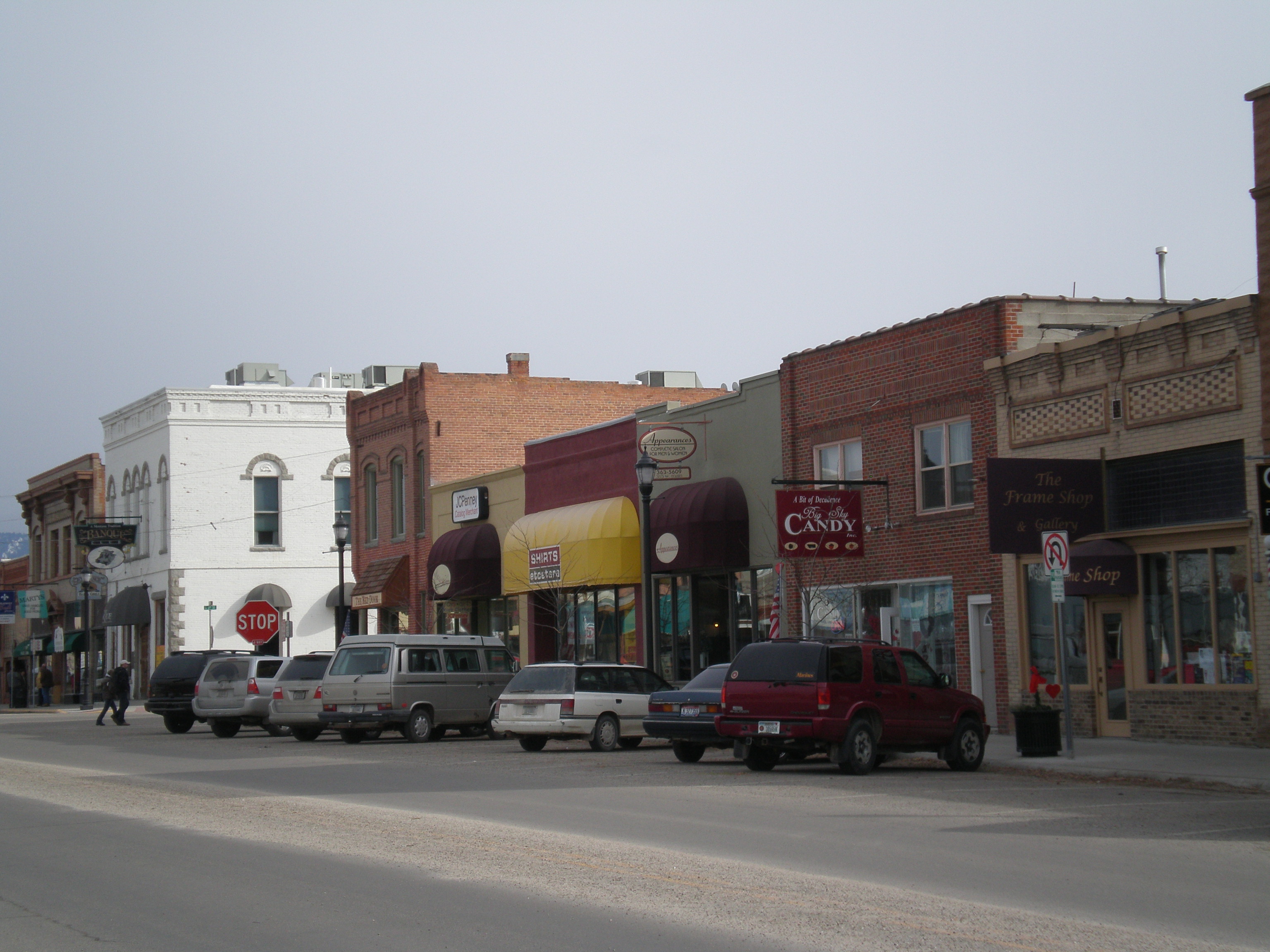
46°14′40″N 114°09′26″W / 46.244444°N 114.157222°WHamilton 66 Riverside 
July 16, 1987 251 Eastside Highway
46°15′57″N 114°8′20″W / 46.26583°N 114.13889°W[4]Hamilton Once the home of Marcus Daly[5] 67 Rocky Mountain Laboratory Historic District 
September 1, 1988 900 block of 4th St.
46°14′14″N 114°09′29″W / 46.237222°N 114.158056°WHamilton 68 St. Mary's Church and Pharmacy 
October 6, 1970 North Ave.; also the western end of 4th St.
46°30′29″N 114°05′43″W / 46.508056°N 114.095278°WStevensville 4th St. represents a boundary increase of August 16, 2010, the "St. Mary's Mission Historic District Boundary Increase" 69 John Sharp House June 19, 1991 306 College St.
46°30′33″N 114°05′22″W / 46.509167°N 114.089444°WStevensville 70 Stevensville Feed Mill June 19, 1991 407 Main St.
46°30′29″N 114°05′36″W / 46.508056°N 114.093333°WStevensville 71 Stevensville Grade School-United Methodist Church June 19, 1991 216 College St.
46°30′36″N 114°05′22″W / 46.51°N 114.089444°WStevensville 72 Stevensville Mercantile Company Oil Storage Building June 19, 1991 300 Mission St.
46°30′36″N 114°05′43″W / 46.51°N 114.095278°WStevensville 73 John Stout House August 26, 1988 1000 S. 1st
46°14′13″N 114°09′11″W / 46.236944°N 114.153056°WHamilton 74 Summers-Quast Farmstead December 30, 1997 1288 Eastside Highway
46°19′39″N 114°06′45″W / 46.3275°N 114.1125°WCorvallis 75 Thornton Hospital June 19, 1991 107 E. 3rd St.
46°30′35″N 114°06′17″W / 46.509722°N 114.104722°WStevensville 76 Erick Trosdahl House August 26, 1988 206 S. 7th St.
46°14′43″N 114°09′46″W / 46.245278°N 114.162778°WHamilton 77 VFW Club August 26, 1988 930 Adirondac
46°15′18″N 114°10′16″W / 46.255°N 114.171111°WHamilton 78 Frank Wallin House August 26, 1988 608 N. 7th St.
46°15′08″N 114°09′51″W / 46.252222°N 114.164167°WHamilton 79 Other C. Wamsley House August 26, 1988 200 N. 5th St.
46°14′54″N 114°09′37″W / 46.248333°N 114.160278°WHamilton 80 Whaley Homestead March 26, 1992 Wildfowl Rd. west of the East Side Highway in the Lee Metcalf National Wildlife Refuge
46°33′03″N 114°04′36″W / 46.550833°N 114.076667°WStevensville 81 Williams House June 19, 1991 500 5th St.
46°30′23″N 114°05′11″W / 46.506389°N 114.086389°WStevensville 82 John and Ann Williams House June 19, 1991 205 Church St.
46°30′37″N 114°05′29″W / 46.510278°N 114.091389°WStevensville 83 Benjamin Young House June 19, 1991 523 Main St.
46°30′18″N 114°05′33″W / 46.505°N 114.0925°WStevensville See also
- List of National Historic Landmarks in Montana
- National Register of Historic Places listings in Montana
References
- ^ The latitude and longitude information provided in this table was derived originally from the National Register Information System, which has been found to be fairly accurate for about 99% of listings. For about 1% of NRIS original coordinates, experience has shown that one or both coordinates are typos or otherwise extremely far off; some corrections may have been made. A more subtle problem causes many locations to be off by up to 150 yards, depending on location in the country: most NRIS coordinates were derived from tracing out latitude and longitudes off of USGS topographical quadrant maps created under North American Datum of 1927, which differs from the current, highly accurate GPS system used by Google maps. Chicago is about right, but NRIS longitudes in Washington are higher by about 4.5 seconds, and are lower by about 2.0 seconds in Maine. Latitudes differ by about 1.0 second in Florida. Some locations in this table may have been corrected to current GPS standards.
- ^ "National Register of Historic Places: Weekly List Actions". National Park Service, United States Department of the Interior. Retrieved on November 10, 2011.
- ^ Numbers represent an ordering by significant words. Various colorings, defined here, differentiate National Historic Landmark sites and National Register of Historic Places Districts from other NRHP buildings, structures, sites or objects.
- ^ Street address derived from the house website; the NRIS gives only "Eastside Highway"
- ^ The historic estate of copper king Marcus Daly, Daly Mansion, 2005. Accessed 2009-04-04.
U.S. National Register of Historic Places Topics Lists by states Alabama • Alaska • Arizona • Arkansas • California • Colorado • Connecticut • Delaware • Florida • Georgia • Hawaii • Idaho • Illinois • Indiana • Iowa • Kansas • Kentucky • Louisiana • Maine • Maryland • Massachusetts • Michigan • Minnesota • Mississippi • Missouri • Montana • Nebraska • Nevada • New Hampshire • New Jersey • New Mexico • New York • North Carolina • North Dakota • Ohio • Oklahoma • Oregon • Pennsylvania • Rhode Island • South Carolina • South Dakota • Tennessee • Texas • Utah • Vermont • Virginia • Washington • West Virginia • Wisconsin • WyomingLists by territories Lists by associated states Other Municipalities and communities of Ravalli County, Montana City 
Towns CDPs Other
communityRiverside
Categories:- National Register of Historic Places in Montana by county
- Ravalli County, Montana
-


Wikimedia Foundation. 2010.