- National Register of Historic Places listings in Rappahannock County, Virginia
-
This list includes properties and districts listed on the National Register of Historic Places in Rappahannock County, Virginia. Click the "Map of all coordinates" link to the right to view a Google map of all properties and districts with latitude and longitude coordinates in the table below.[1]
-
- This National Park Service list is complete through NPS recent listings posted November 10, 2011.[2]
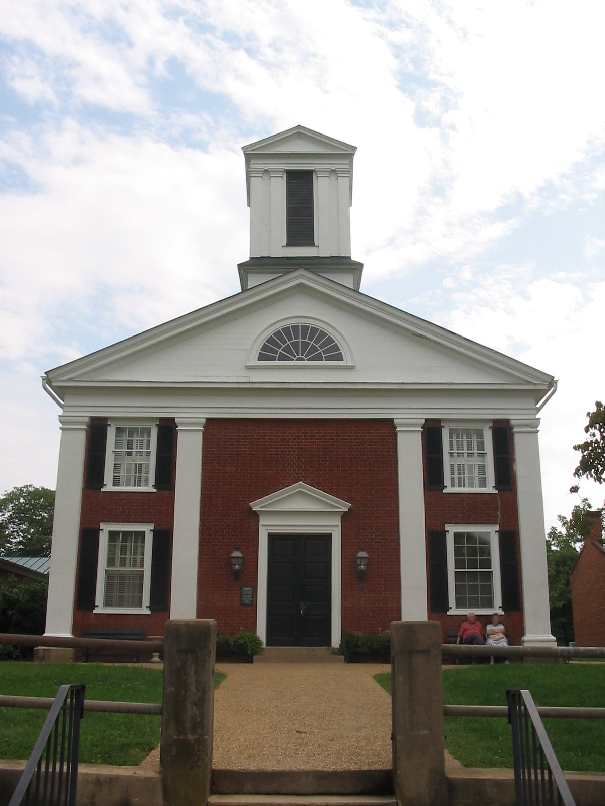
[3] Landmark name[4] Image Date listed Location City or Town Summary 1 Ben Venue December 28, 1979 NE of Washington on VA 729
38°43′18″N 78°3′51″W / 38.72167°N 78.06417°WWashington 2 Caledonia Farm December 28, 1990 Jct. of VA 628 and VA 606
38°45′39″N 78°7′38″W / 38.76083°N 78.12722°WFlint Hill 3 Calvert Mill/Washington Mill September 2, 1982 E of Washington on US 211
38°42′45″N 78°9′8″W / 38.7125°N 78.15222°WWashington 4 George L. Carder House December 14, 2004 456 Scrabble Rd.
38°35′59″N 78°8′15″W / 38.59972°N 78.1375°WCastleton 5 Flint Hill Baptist Church December 1, 1997 0.3 mi N of jct. of US 522 and VA 729
38°45′50″N 78°6′1″W / 38.76389°N 78.10028°WFlint Hill 6 Laurel Mills Historic District November 27, 2004 Roughly bounded by Laurel Mills Rd., Thornton R. & Laurel Mills Farm
38°39′5″N 78°5′18″W / 38.65139°N 78.08833°WLaurel Mills 7 Meadow Grove Farm September 5, 2006 21 Meadow Grove Ln.
38°40′50″N 78°4′48″W / 38.68056°N 78.08°WAmissville 8 John W. Miller House January 3, 1991 Jct. of VA 707 and VA 604
38°31′51.4″N 78°10′37.44″W / 38.530944°N 78.1770667°WBoston 9 Montpelier April 11, 1973 S of Sperryville on VA 231
38°35′16″N 78°13′48″W / 38.58778°N 78.23°WSperryville 10 Mount Salem Baptist Meetinghouse May 24, 1979 SE of Washington on VA 626
38°39′18″N 78°7′47″W / 38.655°N 78.12972°WWashington 11 Scrabble School October 31, 2007 111 Scrabble Rd.
38°35′2″N 78°8′58″W / 38.58389°N 78.14944°WCastleton 12 Skyline Drive Historic District April 28, 1997 Shenandoah National Park, from the N entrance station at Front Royal to the S entrance station at Rockfish Gap
38°32′54″N 78°27′38″W / 38.54833°N 78.46056°WLuray 13 Sperryville Historic District 
February 10, 1983 VA 522, 600, 1001, and 1002
38°39′26″N 78°13′37″W / 38.65722°N 78.22694°WSperryville 14 Sunnyside November 27, 2004 186 Sunnyside Orchard Ln.
38°44′34″N 78°9′43″W / 38.74278°N 78.16194°WWashington 15 Washington Historic District 
May 28, 1975 Parts of Main St., Piedmont Ave., Calvert, Middle and Porter Sts.
38°42′51″N 78°9′34″W / 38.71417°N 78.15944°WWashington See also
- National Register of Historic Places listings in Virginia
- List of National Historic Landmarks in Virginia
References
- ^ The latitude and longitude information provided in this table was derived originally from the National Register Information System, which has been found to be fairly accurate for about 99% of listings. For about 1% of NRIS original coordinates, experience has shown that one or both coordinates are typos or otherwise extremely far off; some corrections may have been made. A more subtle problem causes many locations to be off by up to 150 yards, depending on location in the country: most NRIS coordinates were derived from tracing out latitude and longitudes off of USGS topographical quadrant maps created under the North American Datum of 1927, which differs from the current, highly accurate WGS84 GPS system used by Google maps. Chicago is about right, but NRIS longitudes in Washington are higher by about 4.5 seconds, and are lower by about 2.0 seconds in Maine. Latitudes differ by about 1.0 second in Florida. Some locations in this table may have been corrected to current GPS standards.
- ^ "National Register of Historic Places: Weekly List Actions". National Park Service, United States Department of the Interior. Retrieved on November 10, 2011.
- ^ Numbers represent an ordering by significant words. Various colorings, defined here, differentiate National Historic Landmark sites and National Register of Historic Places Districts from other NRHP buildings, structures, sites or objects.
- ^ "National Register Information System". National Register of Historic Places. National Park Service. 2008-04-24. http://nrhp.focus.nps.gov/natreg/docs/All_Data.html.
U.S. National Register of Historic Places Topics Lists by states Alabama • Alaska • Arizona • Arkansas • California • Colorado • Connecticut • Delaware • Florida • Georgia • Hawaii • Idaho • Illinois • Indiana • Iowa • Kansas • Kentucky • Louisiana • Maine • Maryland • Massachusetts • Michigan • Minnesota • Mississippi • Missouri • Montana • Nebraska • Nevada • New Hampshire • New Jersey • New Mexico • New York • North Carolina • North Dakota • Ohio • Oklahoma • Oregon • Pennsylvania • Rhode Island • South Carolina • South Dakota • Tennessee • Texas • Utah • Vermont • Virginia • Washington • West Virginia • Wisconsin • WyomingLists by territories Lists by associated states Other Municipalities and communities of Rappahannock County, Virginia Town 
CDPs Chester Gap | Flint Hill | Sperryville
Unincorporated
communitiesAmissville | Ashbys Corner | Buckners Corner | Castleton | Estes | Five Forks | Fletcher Mill | Fourway | Hackleys Crossroad | Hawlin | Huntly | Keysville | Laurel Mills | Massanova | Massies Corner | Peola Mills | Reager | Rediviva | Revercombs Corner | Rock Mills | Rose Hill | Round Hill | Scrabble | Shenandoah Homesteads Project | Slate Mills | Smedley | Viewtown | Wakefield Manor | Woodville
Categories:- Rappahannock County, Virginia
- National Register of Historic Places in Virginia
- Virginia-related lists
-


Wikimedia Foundation. 2010.