- National Register of Historic Places listings in Noble County, Indiana
-
 Location of Noble County in Indiana
This is a list of the National Register of Historic Places listings in Noble County, Indiana.
This is intended to be a complete list of the properties and districts on the National Register of Historic Places in Noble County, Indiana, United States. Latitude and longitude coordinates are provided for many National Register properties and districts; these locations may be seen together in a Google map.[1]
There are 10 properties and districts listed on the National Register in the county.
-
- This National Park Service list is complete through NPS recent listings posted November 10, 2011.[2]
Current listings
[3] Landmark name [4] Image Date listed Location City or town Summary 1 Ahavas Shalom Reform Temple June 16, 1983 503 S. Main St.
41°27′42″N 85°35′20″W / 41.461667°N 85.588889°WLigonier 2 Iddings-Gilbert-Leader-Anderson Block 
July 21, 1987 105-113 N. Main St.
41°26′39″N 85°15′58″W / 41.444167°N 85.266111°WKendallville 3 Jefferson Union Church and Sweet Cemetery March 24, 2010 3015 E 415 N
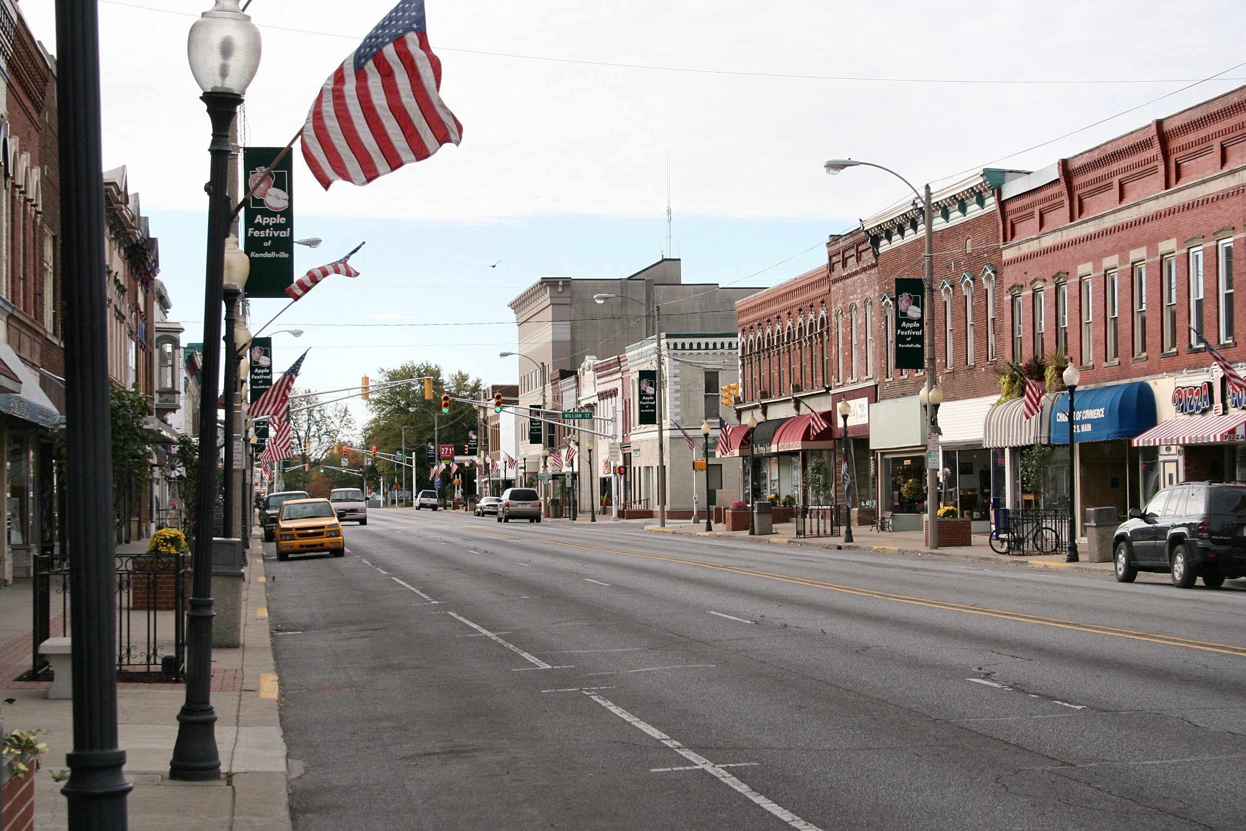
41°24′44″N 85°22′01″W / 41.412319°N 85.366919°WAlbion 4 Kendallville Downtown Historic District 
December 23, 2003 Roughly bounded by Harris and Rush Sts. and the alleys east and west of Main
41°26′35″N 85°15′55″W / 41.443056°N 85.265278°WKendallville 5 Ligonier Historic District 
October 23, 1987 Roughly bounded by the former Conrail right-of-way and Smith, Union, College, and Grand Sts.
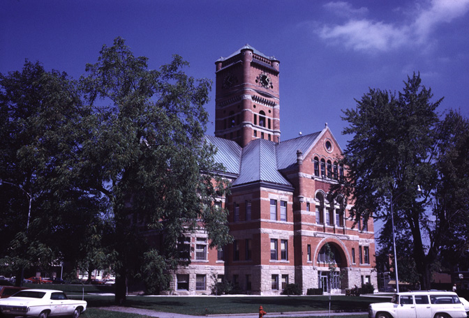
41°27′46″N 85°35′23″W / 41.462778°N 85.589722°WLigonier 6 Noble County Courthouse 
May 12, 1981 Courthouse Square
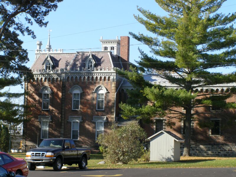
41°23′45″N 85°25′28″W / 41.395833°N 85.424444°WAlbion 7 Noble County Sheriff's House and Jail 
December 27, 1982 W. Main and Oak Sts.
41°23′44″N 85°25′34″W / 41.395556°N 85.426111°WAlbion 8 Gene Stratton Porter Cabin June 27, 1974 Southeast of Rome City off State Road 9
41°28′51″N 85°20′55″W / 41.480833°N 85.348611°WRome City 9 Stone's Trace May 24, 1984 U.S. Route 33 and State Road 5
41°25′35″N 85°35′10″W / 41.426389°N 85.586111°WLigonier 10 Jacob Straus House June 4, 1979 210 S. Main St.
41°27′51″N 85°35′22″W / 41.464167°N 85.589444°WLigonier See also
- List of National Historic Landmarks in Indiana
- National Register of Historic Places listings in Indiana
References
- ^ The latitude and longitude information provided in this table was derived originally from the National Register Information System, which has been found to be fairly accurate for about 99% of listings. For about 1% of NRIS original coordinates, experience has shown that one or both coordinates are typos or otherwise extremely far off; some corrections may have been made. A more subtle problem causes many locations to be off by up to 150 yards, depending on location in the country: most NRIS coordinates were derived from tracing out latitude and longitudes off of USGS topographical quadrant maps created under the North American Datum of 1927, which differs from the current, highly accurate WGS84 GPS system used by Google maps. Chicago is about right, but NRIS longitudes in Washington are higher by about 4.5 seconds, and are lower by about 2.0 seconds in Maine. Latitudes differ by about 1.0 second in Florida. Some locations in this table may have been corrected to current GPS standards.
- ^ "National Register of Historic Places: Weekly List Actions". National Park Service, United States Department of the Interior. Retrieved on November 10, 2011.
- ^ Numbers represent an ordering by significant words. Various colorings, defined here, differentiate National Historic Landmark sites and National Register of Historic Places Districts from other NRHP buildings, structures, sites or objects.
- ^ "National Register Information System". National Register of Historic Places. National Park Service. . http://nrhp.focus.nps.gov/natreg/docs/All_Data.html.
U.S. National Register of Historic Places Topics Lists by states Alabama • Alaska • Arizona • Arkansas • California • Colorado • Connecticut • Delaware • Florida • Georgia • Hawaii • Idaho • Illinois • Indiana • Iowa • Kansas • Kentucky • Louisiana • Maine • Maryland • Massachusetts • Michigan • Minnesota • Mississippi • Missouri • Montana • Nebraska • Nevada • New Hampshire • New Jersey • New Mexico • New York • North Carolina • North Dakota • Ohio • Oklahoma • Oregon • Pennsylvania • Rhode Island • South Carolina • South Dakota • Tennessee • Texas • Utah • Vermont • Virginia • Washington • West Virginia • Wisconsin • WyomingLists by territories Lists by associated states Other Municipalities and communities of Noble County, Indiana Cities 
Towns Albion | Avilla | Cromwell | Rome City | Wolcottville‡
Townships Unincorporated
communitiesAri | Bakertown | Bear Lake | Brimfield | Burr Oak | Cosperville | Egans Point | Ege | Green Center | Indian Village | Kimmell | LaOtto | Lisbon | Merriam | Port Mitchell | Swan | Wakeville Village | Wawaka | Wayne Center | Wilmot | Wolflake
Footnotes ‡This populated place also has portions in an adjacent county or counties
Categories:- Noble County, Indiana
- National Register of Historic Places in Indiana by county
-


Wikimedia Foundation. 2010.