- National Register of Historic Places listings in Lauderdale County, Mississippi
-
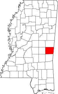 Location of Lauderdale County in Mississippi
This is a list of the National Register of Historic Places listings in Lauderdale County, Mississippi.
This is intended to be a complete list of the properties and districts on the National Register of Historic Places in Lauderdale County, Mississippi, United States. Latitude and longitude coordinates are provided for many National Register properties and districts; these locations may be seen together in a Google map.[1]
There are 46 properties and districts listed on the National Register in the county. Another five properties that were once listed have been removed from the Register.[2]
-
- This National Park Service list is complete through NPS recent listings posted November 10, 2011.[3]
Current listings
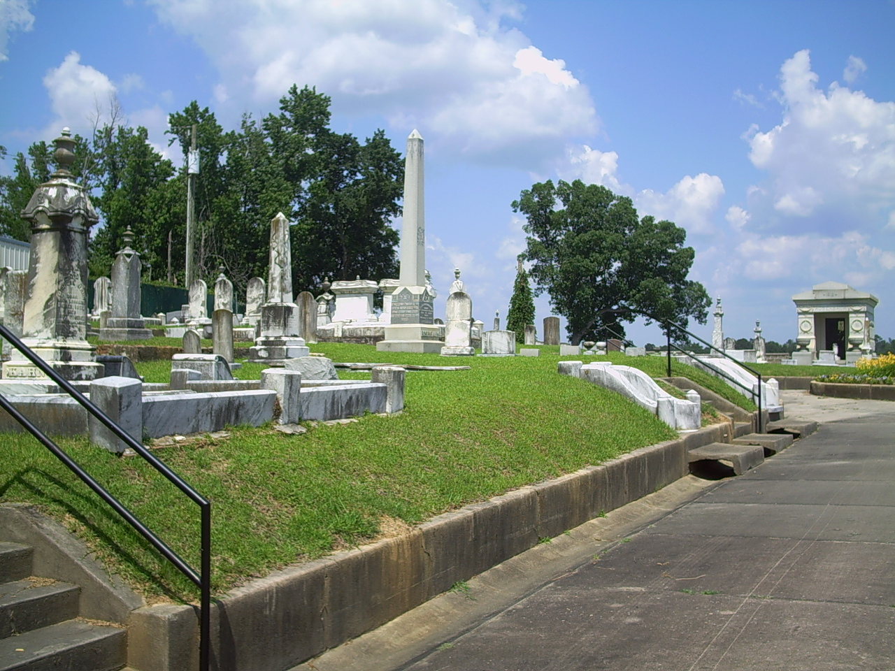
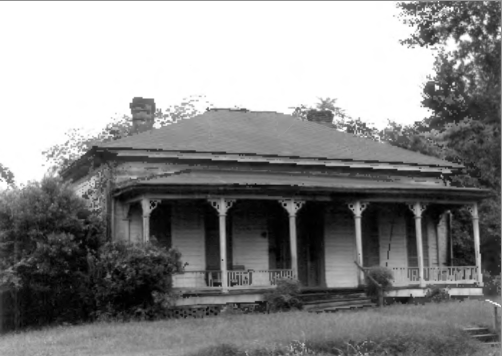
[4] Landmark name Image Date listed Location City or town Summary 1 Beth Israel Cemetery 
March 22, 1989 19th St. and 5th Ave.
32°22′38″N 88°40′57″W / 32.377222°N 88.6825°WMeridian A cemetery dating from 1870 2 Cahn-Crawford House 
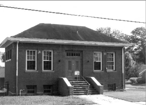
December 18, 1979 1200 22nd Ave.
32°22′07″N 88°42′01″W / 32.368611°N 88.700278°WMeridian 3 Carnegie Branch Library 
December 18, 1979 2721 13th St.
32°22′10″N 88°42′23″W / 32.369444°N 88.706389°WMeridian 4 Causeyville Historic District 
January 2, 1986 Meridian-Causeyville Rd.
32°15′30″N 88°33′46″W / 32.258333°N 88.562778°WCauseyville 5 Coosha 
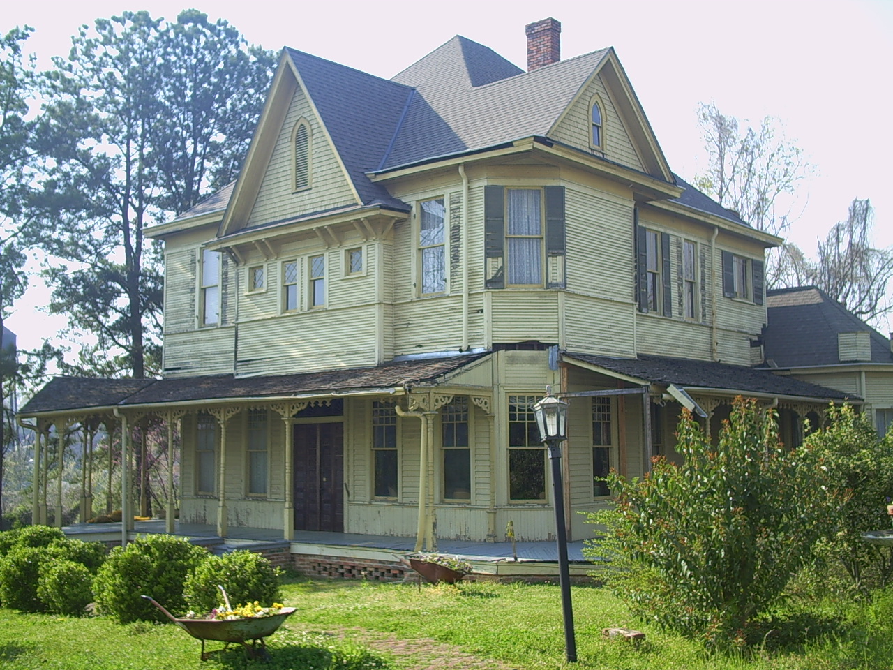
November 21, 1978 Address Restricted Lizelia 6 Dabney-Green House 
December 18, 1979 1017 22nd Ave.
32°22′03″N 88°42′02″W / 32.3675°N 88.700556°WMeridian 7 Dement Printing Company 
December 18, 1979 2002 6th St.
32°21′55″N 88°41′57″W / 32.365278°N 88.699167°WMeridian 8 Dial House 
December 18, 1979 1003 30th Ave.
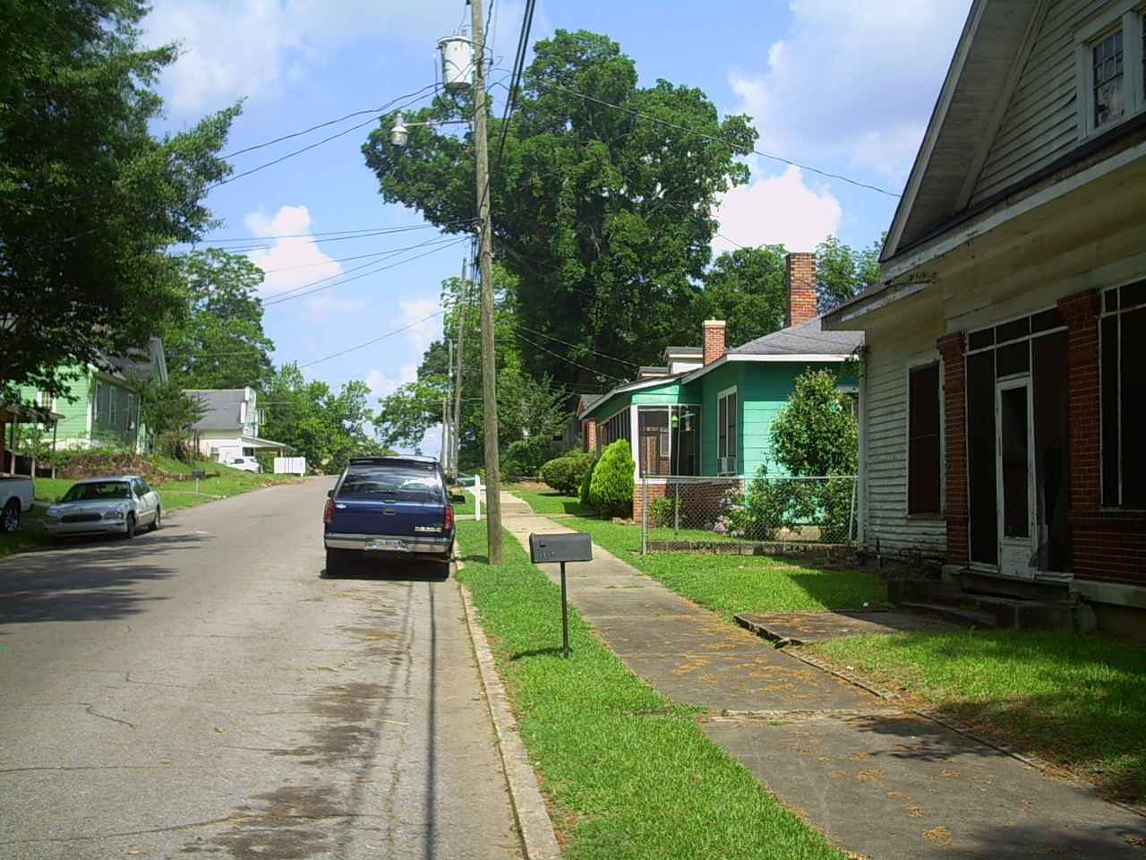
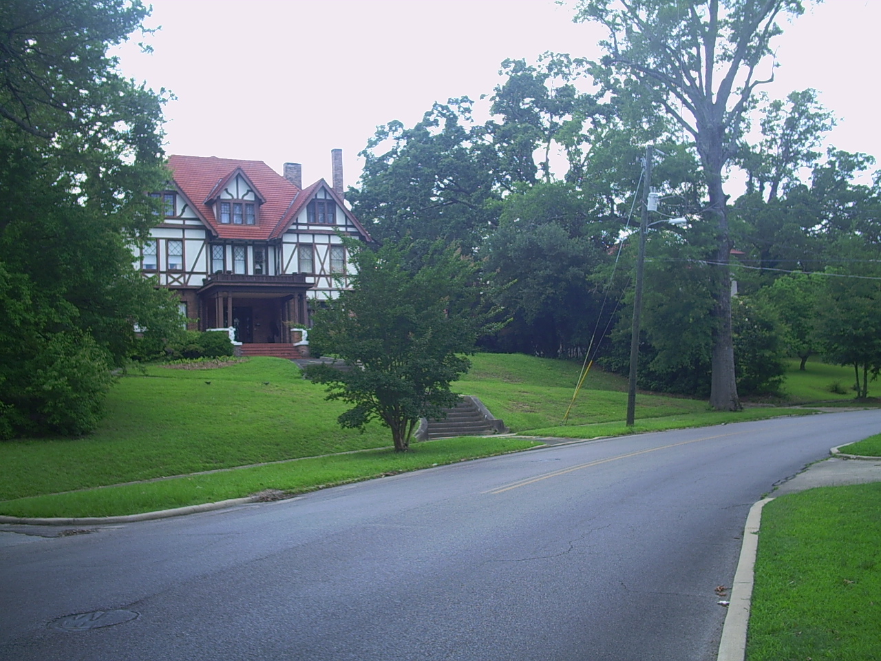
32°22′00″N 88°42′32″W / 32.366667°N 88.708889°WMeridian 9 East End Historic District 
August 21, 1987 Roughly bounded by 18th St., 11th Ave., 14th St., 14th Ave., 5th St., and 17th Ave.
32°22′20″N 88°41′28″W / 32.372222°N 88.691111°WMeridian 10 Elson-Dudley House 
December 18, 1979 1101 29th Ave.
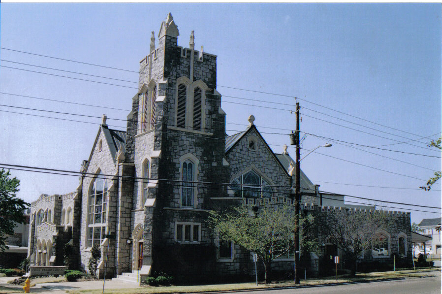
32°22′04″N 88°42′27″W / 32.367778°N 88.7075°WMeridian 11 First Presbyterian Church of Meridian 
December 18, 1979 911 23rd Ave.
32°21′59″N 88°42′06″W / 32.366389°N 88.701667°WMeridian 12 Grand Opera House 
December 27, 1972 2208 5th St.
32°22′21″N 88°42′02″W / 32.3725°N 88.700556°WMeridian 13 Highland Park 
February 28, 1979 Roughly bounded by 15th and 19th Sts., 37th and 47th Aves.
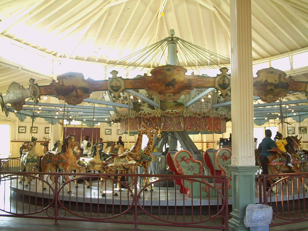
32°22′28″N 88°43′04″W / 32.374444°N 88.717778°WMeridian 14 Highland Park Dentzel Carousel and Shelter Building 
February 27, 1987 Highland Park
32°22′34″N 88°43′05″W / 32.376111°N 88.718056°WMeridian 15 Highlands Historic District 
August 21, 1987 Roughly bounded by 15th St., 34th Ave., 5th St., 19th St., and 36th Ave.
32°22′29″N 88°42′41″W / 32.374722°N 88.711389°WMeridian 16 Lacy Homestead July 19, 2007 Address Restricted Toomsuba 17 Lamar Hotel 
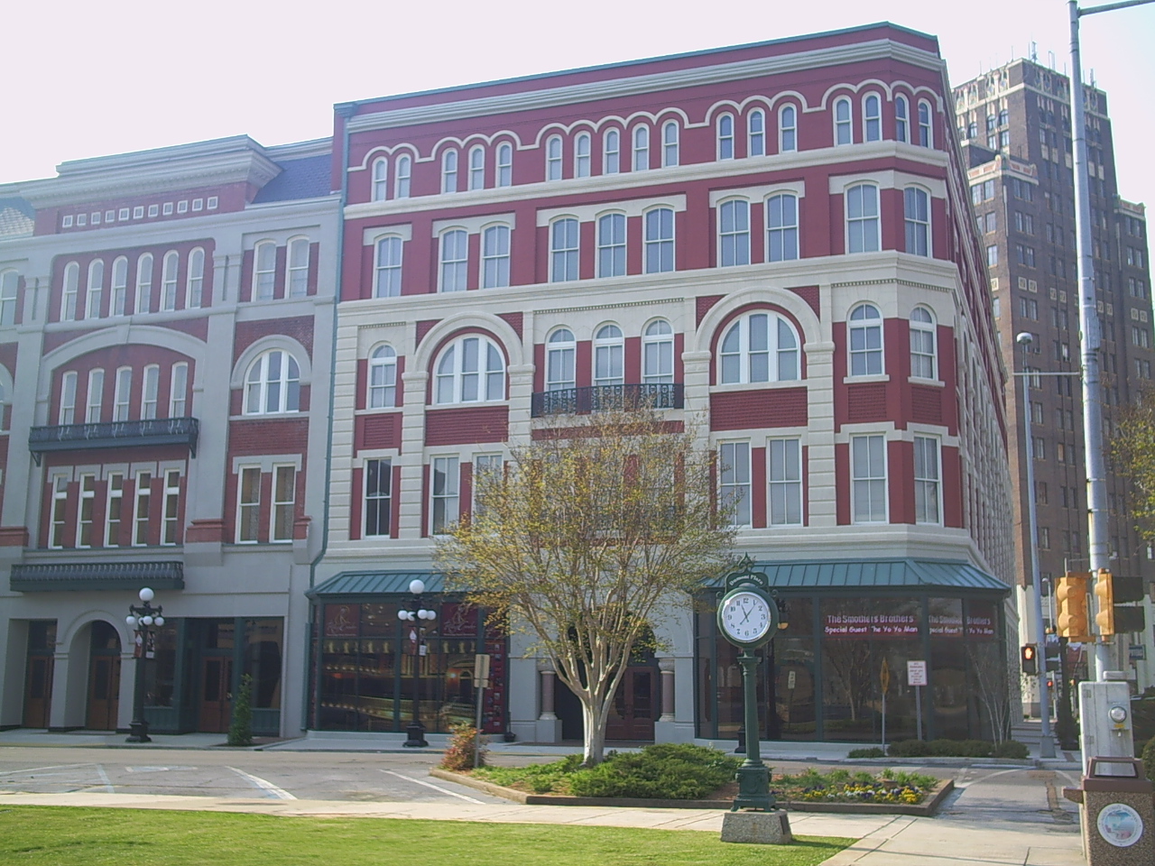
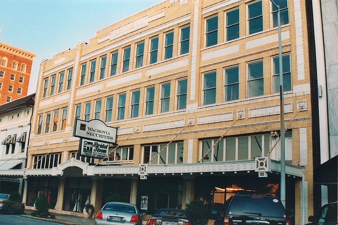
December 18, 1979 410 21st St.
32°21′52″N 88°41′54″W / 32.364444°N 88.698333°WMeridian 18 Alex Loeb Building 
December 18, 1979 2115 5th St.
32°21′51″N 88°41′56″W / 32.364167°N 88.698889°WMeridian 19 Masonic Temple 
December 18, 1979 1220 26th Ave.
32°22′10″N 88°42′16″W / 32.369444°N 88.704444°WMeridian Sometime after its listing the building was demolished. 20 McLemore Cemetery 
December 18, 1979 601 16th Ave.
32°22′03″N 88°41′41″W / 32.3675°N 88.694722°WMeridian 21 Meridian Downtown Historic District 
January 16, 2007 Roughly bounded by 26th Ave., 18th Ave., 6th St., and Front St. Meridian 22 Meridian Museum of Art 
December 18, 1979 628 25th Ave.
32°21′49″N 88°42′12″W / 32.363611°N 88.703333°WMeridian Art museum for many years; formerly the Carnegie Library for whites in Meridian 23 Meridian Urban Center Historic District 
December 18, 1979 Roughly bounded by 21st and 25th Aves., 6th St., and the former Gulf, Mobile and Ohio railroad line
32°21′47″N 88°42′01″W / 32.363056°N 88.700278°WMeridian 24 Meridian Waterworks Pumping Station and Clear Water Basin 
July 26, 1989 B St. and 17th Ave.
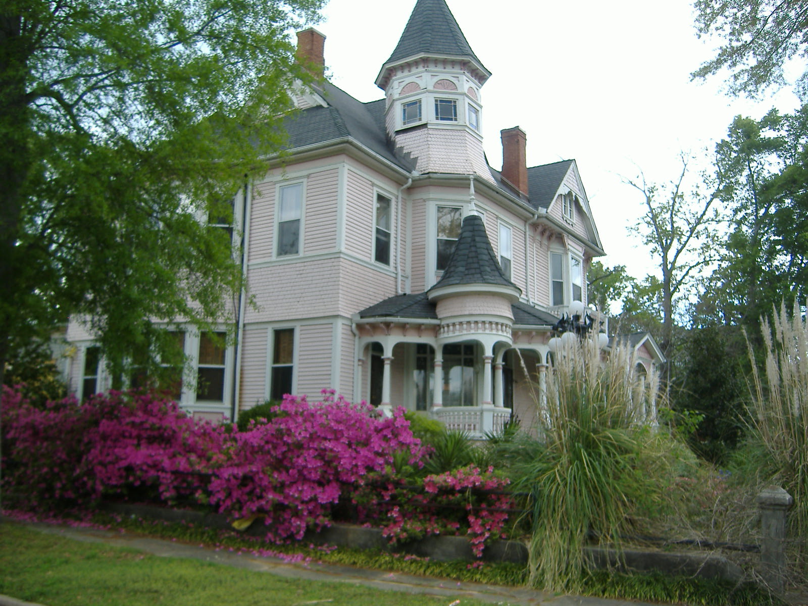
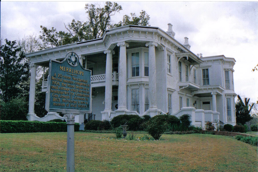
32°21′43″N 88°41′30″W / 32.361944°N 88.691667°WMeridian 25 Merrehope 
December 9, 1971 905 31st Ave.
32°22′01″N 88°43′35″W / 32.366944°N 88.726389°WMeridian 26 Merrehope Historic District 
September 19, 1988 Roughly bounded by 33rd Ave., 30th Ave., 14th St., 25th Ave., and 8th St.
32°22′05″N 88°42′26″W / 32.368056°N 88.707222°WMeridian 27 Mid-Town Historic District 
August 21, 1987 Roughly bounded by 23rd Ave., 15th St., 28th Ave., and 22nd St.
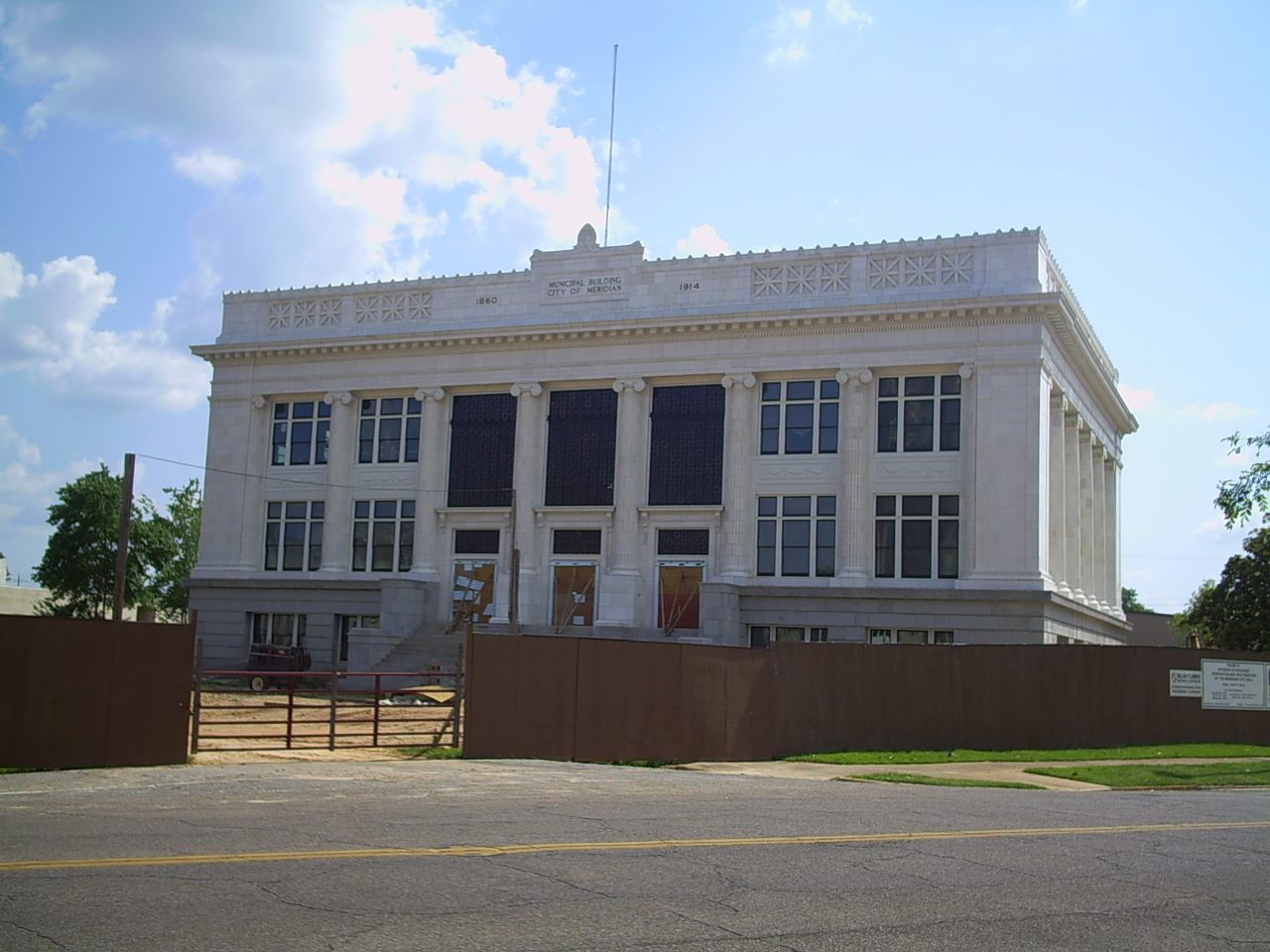
32°22′38″N 88°42′07″W / 32.377222°N 88.701944°WMeridian 28 Municipal Building 
December 18, 1979 601 24th Ave.
32°21′49″N 88°42′08″W / 32.363611°N 88.702222°WMeridian 29 Niolon Building 
December 18, 1979 718 23rd Ave.
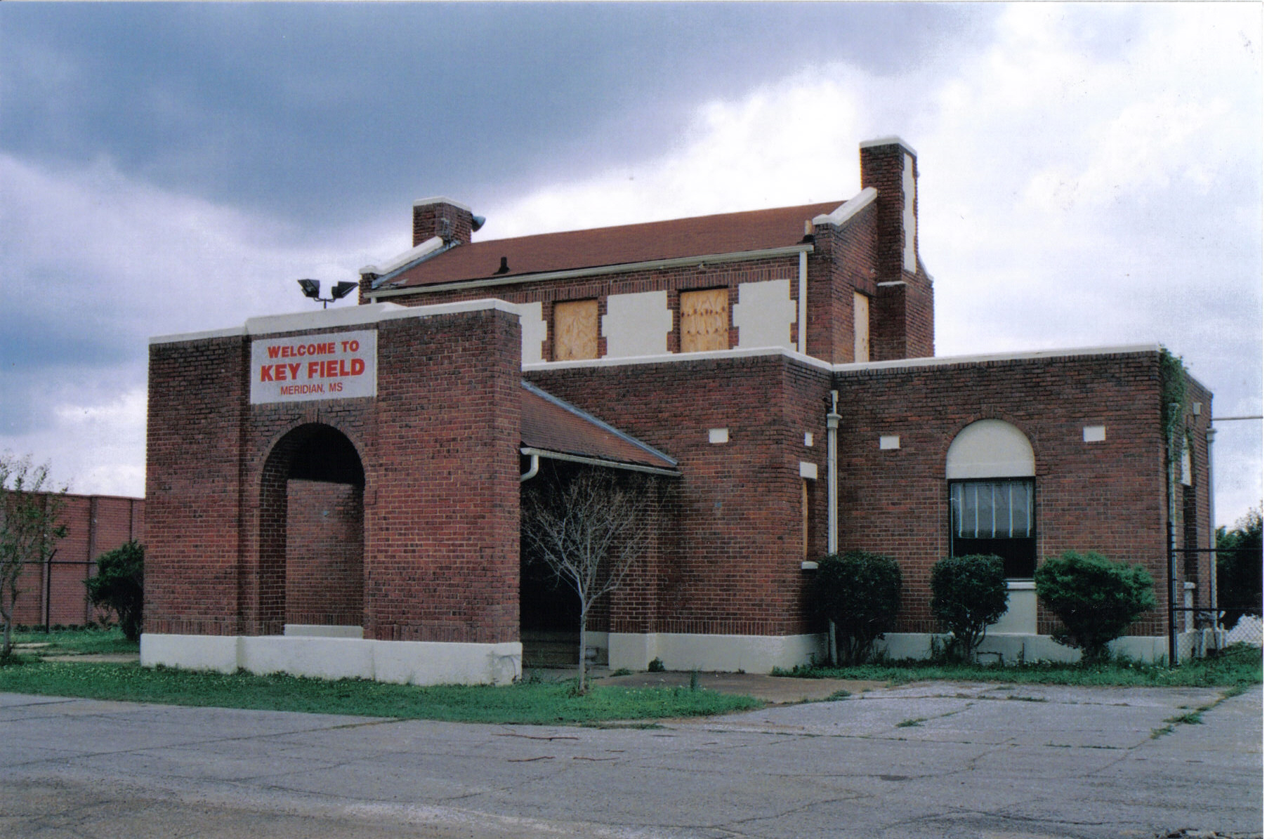
32°21′53″N 88°42′05″W / 32.364722°N 88.701389°WMeridian 30 Old Terminal Building, Hangar and Powerhouse at Key Field 
July 7, 2003 2525 U.S. Route 11, S.
32°20′14″N 88°44′33″W / 32.337222°N 88.7425°WMeridian 31 Pigford Building 
December 18, 1979 818 22nd Ave.
32°21′56″N 88°42′00″W / 32.365556°N 88.7°WMeridian 32 Poplar Springs Road Historic District 
August 21, 1987 Roughly bounded by 29th St., 23rd Ave., 22nd St., and 29th Ave.
32°23′05″N 88°42′11″W / 32.384722°N 88.703056°WMeridian 33 Porter-Crawford House 
December 18, 1979 1208 22nd Ave.
32°22′09″N 88°42′01″W / 32.369167°N 88.700278°WMeridian 34 St. Patrick Catholic Church 
December 18, 1979 2614 Davis St.
32°21′48″N 88°42′17″W / 32.363333°N 88.704722°WMeridian 35 The Simmons & Wright Company 
March 13, 2008 5493 U.S. Routes 11/80
32°25′28″N 88°26′20″W / 32.424444°N 88.438889°WKewanee 36 Standard Drug Company 
December 7, 1989 601 25th Ave.
32°21′46″N 88°42′12″W / 32.362778°N 88.703333°WMeridian 37 Stevenson Primary School 
December 18, 1979 1015 25th Ave.
32°22′01″N 88°42′14″W / 32.366944°N 88.703889°WMeridian 38 Stuckey's Bridge 
November 16, 1988 Spans the Chunky River on a county road
32°15′20″N 88°51′19″W / 32.255556°N 88.855278°WMeridian 39 Temple Theater 
December 18, 1979 2318 8th St.
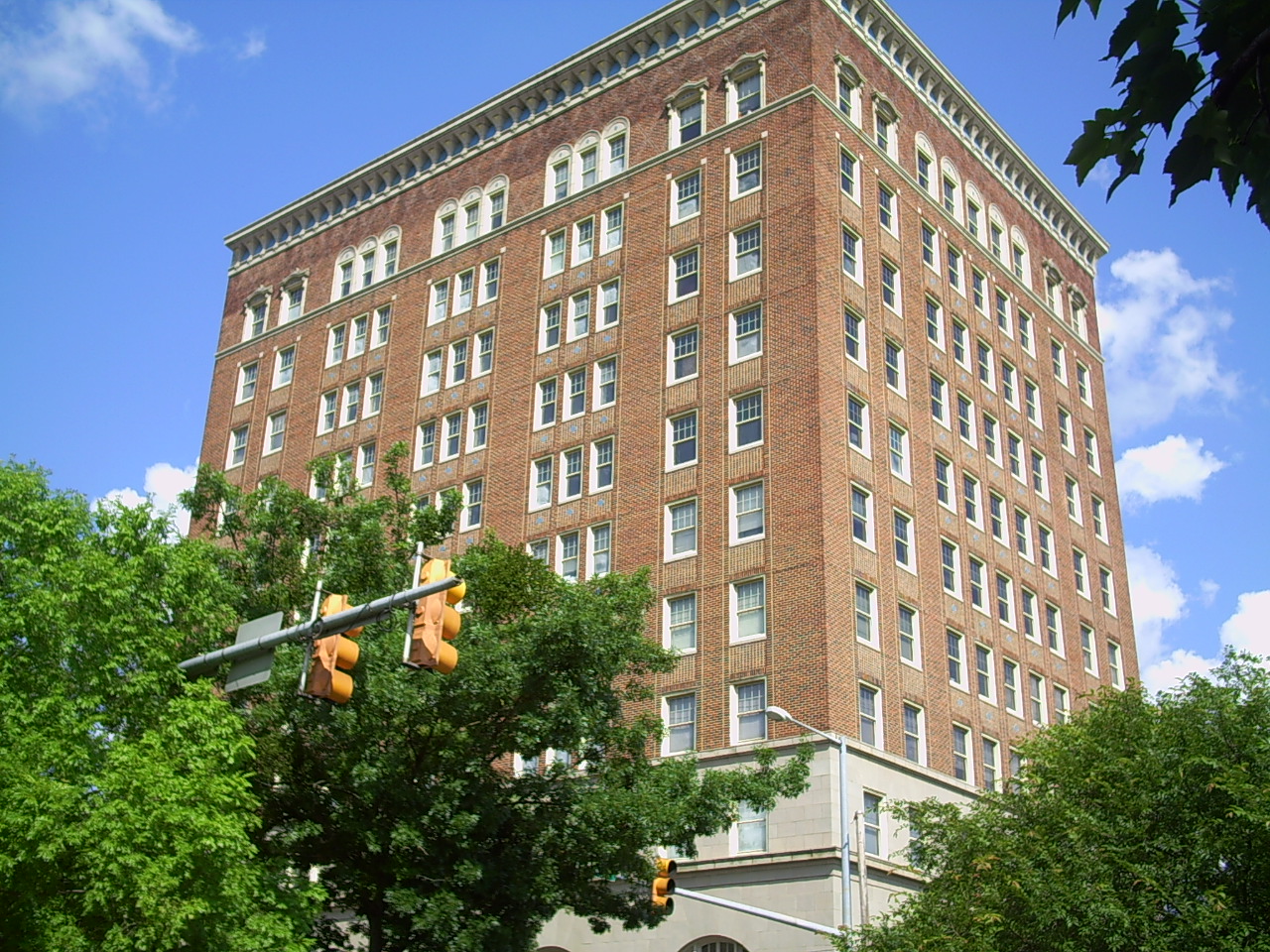
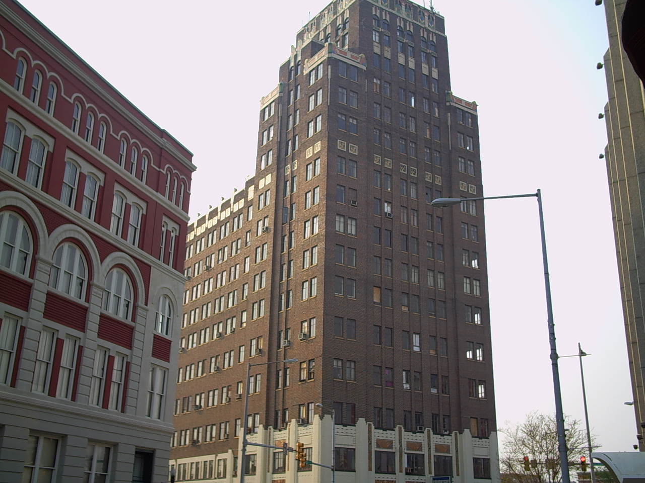
32°21′54″N 88°42′09″W / 32.365°N 88.7025°WMeridian 40 Threefoot Building 
December 18, 1979 601 22nd Ave.
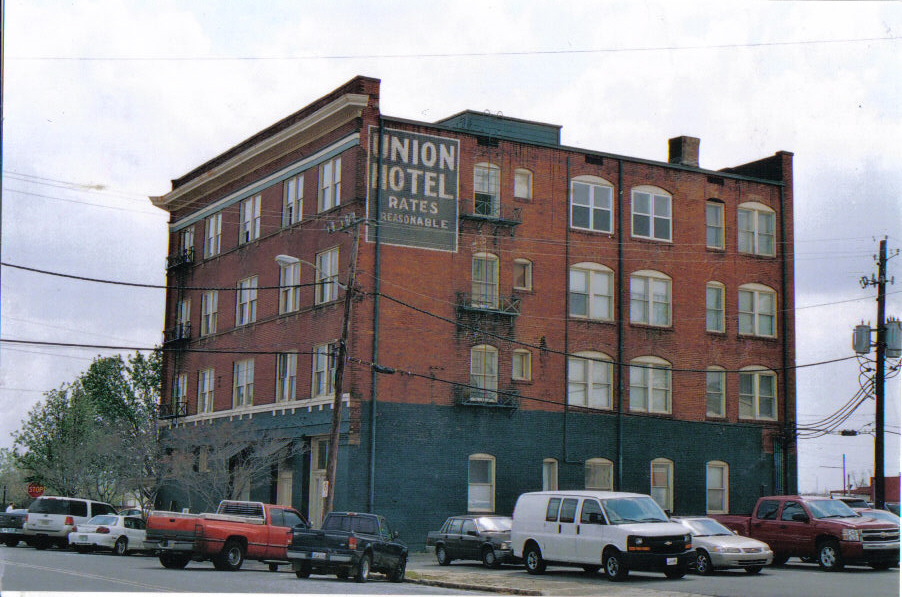
32°21′52″N 88°42′02″W / 32.364444°N 88.700556°WMeridian 41 Union Hotel 
December 18, 1979 2000 Front St.
32°21′50″N 88°41′50″W / 32.363889°N 88.697222°WMeridian 42 Union Station Historic District 
December 18, 1979 Roughly bounded by 18th and 19th Aves., 5th St., and the former Gulf, Mobile and Ohio railroad line
32°21′54″N 88°41′46″W / 32.365°N 88.696111°WMeridian 43 United States Post Office and Courthouse 
May 17, 1984 2100 9th St.
32°21′59″N 88°41′59″W / 32.366389°N 88.699722°WMeridian 44 United States Sugar Crop Field Station 
January 11, 1991 Junction of Sonny Montgomery Industrial Parkway and Peavy Dr.
32°24′41″N 88°36′44″W / 32.411389°N 88.612222°WMeridian 45 Wechsler School 
July 15, 1991 1415 30th Ave.
32°22′17″N 88°42′33″W / 32.371389°N 88.709167°WMeridian First brick school building built in the state, in 1894, for black children in elementary grades 46 West End Historic District 
August 21, 1987 Roughly bounded by 7th St., 28th Ave., Shearer's Branch, and 5th St.
32°21′46″N 88°42′29″W / 32.362778°N 88.708056°WMeridian Delisted properties
Landmark name Image Originally listed Delisted Location City or Town Summary 1 Dixie Gas Station 
1979[5] October 1, 1987[6] 2902 5th St. Meridian Demolished in 1986.[7] 2 Gulf, Mobile & Ohio Freight Depot February 6, 1980[8] November 8, 1996[9] 20 22nd Ave. Meridian Destroyed by fire on June 10, 1985.[8] 3 Meridian Baptist Seminary 
January 8, 1979[10] July 16, 2008[11] 16th St. and 31st Ave.
32°22′22″N 88°42′34″W / 32.37278°N 88.70944°WMeridian Destroyed by fire in 2007.[12] 4 Meyer-Loeb Building 1979[5] October 1, 1987[6] 2100 4th St. Meridian Demolished in 1980.[13] 5 Scottish Rite Cathedral December 18, 1979[14] May 15, 1987[6] 1101 23rd Ave. Meridian Destroyed by fire on March 20, 1985.[14] 6 Suttle Building December 18, 1979[15] December 15, 1999[16] 801 22nd Ave. Meridian Demolished February 1999[15] See also
- List of National Historic Landmarks in Mississippi
- National Register of Historic Places listings in Mississippi
References
- ^ The latitude and longitude information provided in this table was derived originally from the National Register Information System, which has been found to be fairly accurate for about 99% of listings. For about 1% of NRIS original coordinates, experience has shown that one or both coordinates are typos or otherwise extremely far off; some corrections may have been made. A more subtle problem causes many locations to be off by up to 150 yards, depending on location in the country: most NRIS coordinates were derived from tracing out latitude and longitudes off of USGS topographical quadrant maps created under the North American Datum of 1927, which differs from the current, highly accurate WGS84 GPS system used by Google maps. Chicago is about right, but NRIS longitudes in Washington are higher by about 4.5 seconds, and are lower by about 2.0 seconds in Maine. Latitudes differ by about 1.0 second in Florida. Some locations in this table may have been corrected to current GPS standards.
- ^ "National Register Information System". National Register of Historic Places. National Park Service. 2009-03-13. http://nrhp.focus.nps.gov/natreg/docs/All_Data.html.
- ^ "National Register of Historic Places: Weekly List Actions". National Park Service, United States Department of the Interior. Retrieved on November 10, 2011.
- ^ Numbers represent an ordering by significant words. Various colorings, defined here, differentiate National Historic Landmark sites and National Register of Historic Places Districts from other NRHP buildings, structures, sites or objects.
- ^ a b "National Register of Historic Places Listings in Mississippi". Mississippi Department of Archives and History. December 31, 2008. http://mdah.state.ms.us/hpres/nrhp_list.pdf. Retrieved 2010-07-13.
- ^ a b c "Actions taken on the National Register in 1987" (pdf). National Park Service. http://www.nps.gov/history/nr/listings/Weekly_Register_List_1987.pdf. Retrieved 2010-07-13.
- ^ National Register of Historic Places: Nomination form for Dixie Gas Station (#79003389). National Park Service.
- ^ a b National Register of Historic Places: Nomination form for Gulf, Mobile & Ohio Freight Depot (#79003392). National Park Service.
- ^ "Weekly List of Actions Taken on Properties for November 11–15, 1996". National Park Service. http://www.nps.gov/history/nr/listings/961122.htm. Retrieved 2010-07-13.
- ^ "1979 listings on the NRHP". National Park Service. March 18, 1980. http://www.nps.gov/history/nr/listings/Weekly_List_FR-Tuesday-March-18-1980-listingyear1979.pdf. Retrieved 2010-07-13.
- ^ "Weekly List of Actions Taken on Properties for July 14–18, 2008". National Park Service. http://www.nps.gov/nr/listings/20080725.HTM. Retrieved 2010-07-22.
- ^ "Cause of Seminary Fire "Undetermined"". Meridian, Mississippi: WTOK-TV.com. October 24, 2007. http://www.wtok.com/news/headlines/10767201.html. Retrieved 2010-07-18.
- ^ National Register of Historic Places: Nomination form for Meyer-Loeb Building (#79003398). National Park Service.
- ^ a b Letter from Kenneth H. P'Pool, Deputy State Historic Preservation Officer, to Carol D. Shull, Chief of Registration for the National Register. May 11, 1987. "The properties listed below no longer exist and have been recommended by the Mississippi State Professional Review Board for delisting from the National Register of Historic Places: [...] Scottish Rite Cathedral. 1101 23rd Avenue, Meridian, Lauderdale County. Listed 12/18/1979. Destroyed by fire 3/20/1985" Attached is the original National Register of Historic Places nomination form for Scottish Rite Cathedral (#79003404), including one image (January 1979). Jody Cook (February 1979). National Park Service.
- ^ a b National Register of Historic Places: Nomination form for Suttle Building (#79003406). National Park Service.
- ^ "Weekly List of Actions Taken on Properties for December 13–17, 1999". National Park Service. http://www.nps.gov/history/nr/listings/991223.htm. Retrieved 2010-07-03.
U.S. National Register of Historic Places Topics Lists by states Alabama • Alaska • Arizona • Arkansas • California • Colorado • Connecticut • Delaware • Florida • Georgia • Hawaii • Idaho • Illinois • Indiana • Iowa • Kansas • Kentucky • Louisiana • Maine • Maryland • Massachusetts • Michigan • Minnesota • Mississippi • Missouri • Montana • Nebraska • Nevada • New Hampshire • New Jersey • New Mexico • New York • North Carolina • North Dakota • Ohio • Oklahoma • Oregon • Pennsylvania • Rhode Island • South Carolina • South Dakota • Tennessee • Texas • Utah • Vermont • Virginia • Washington • West Virginia • Wisconsin • WyomingLists by territories Lists by associated states Other Municipalities and communities of Lauderdale County, Mississippi Cities 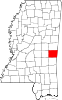
Towns CDPs Unincorporated
communitiesBailey | Daleville | Kewanee | Lauderdale | Russell | Toomsuba | Whynot
Categories:- Lauderdale County, Mississippi
- National Register of Historic Places in Mississippi by county
- Buildings and structures in Lauderdale County, Mississippi
-


Wikimedia Foundation. 2010.