

- National Register of Historic Places listings in Center Township, Marion County, Indiana
-
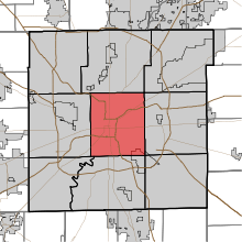 Location of Center Township in Marion County
This is a list of the National Register of Historic Places listings in Center Township, Marion County, Indiana.
This is intended to be a complete list of the properties and districts on the National Register of Historic Places in Center Township, Marion County, Indiana, United States. Latitude and longitude coordinates are provided for many National Register properties and districts; these locations may be seen together in a Google map.[1]
There are 223 properties and districts listed on the National Register in the county, including 8 National Historic Landmarks. Because Indianapolis is coextensive with Marion County, properties are listed by township rather than by city or town. Center Township is the location of 163 of these properties and districts, including 5 of the National Historic Landmarks; these properties and districts are listed here. Properties and districts in Marion County's other townships are listed separately. One district, the Indianapolis Park and Boulevard System, is split between Center Township and three other townships, and is thus included on both lists. Eight other properties, including seven in Center Township, were once listed but have been removed.
-
- This National Park Service list is complete through NPS recent listings posted November 10, 2011.[2]
Current listings
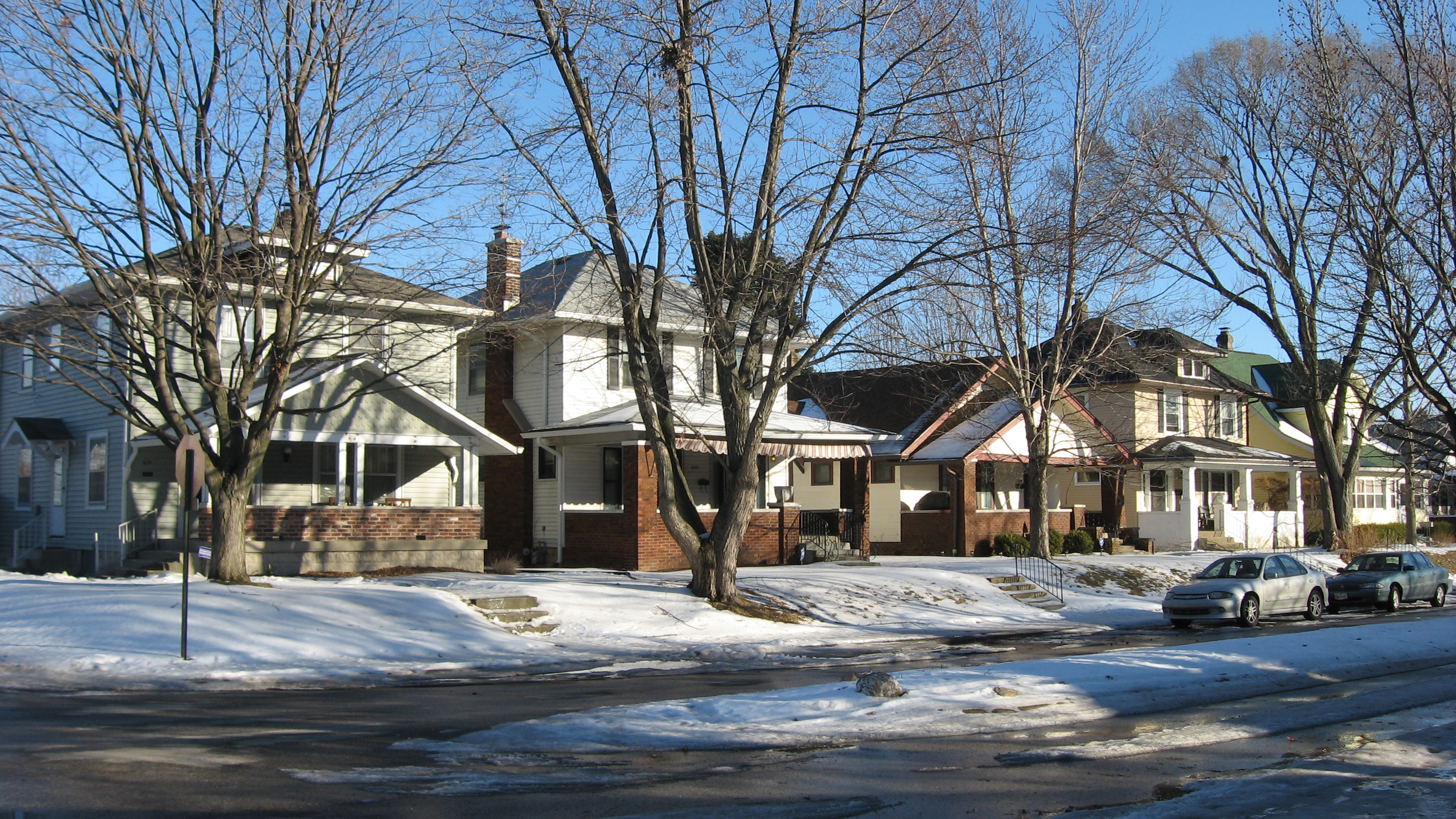
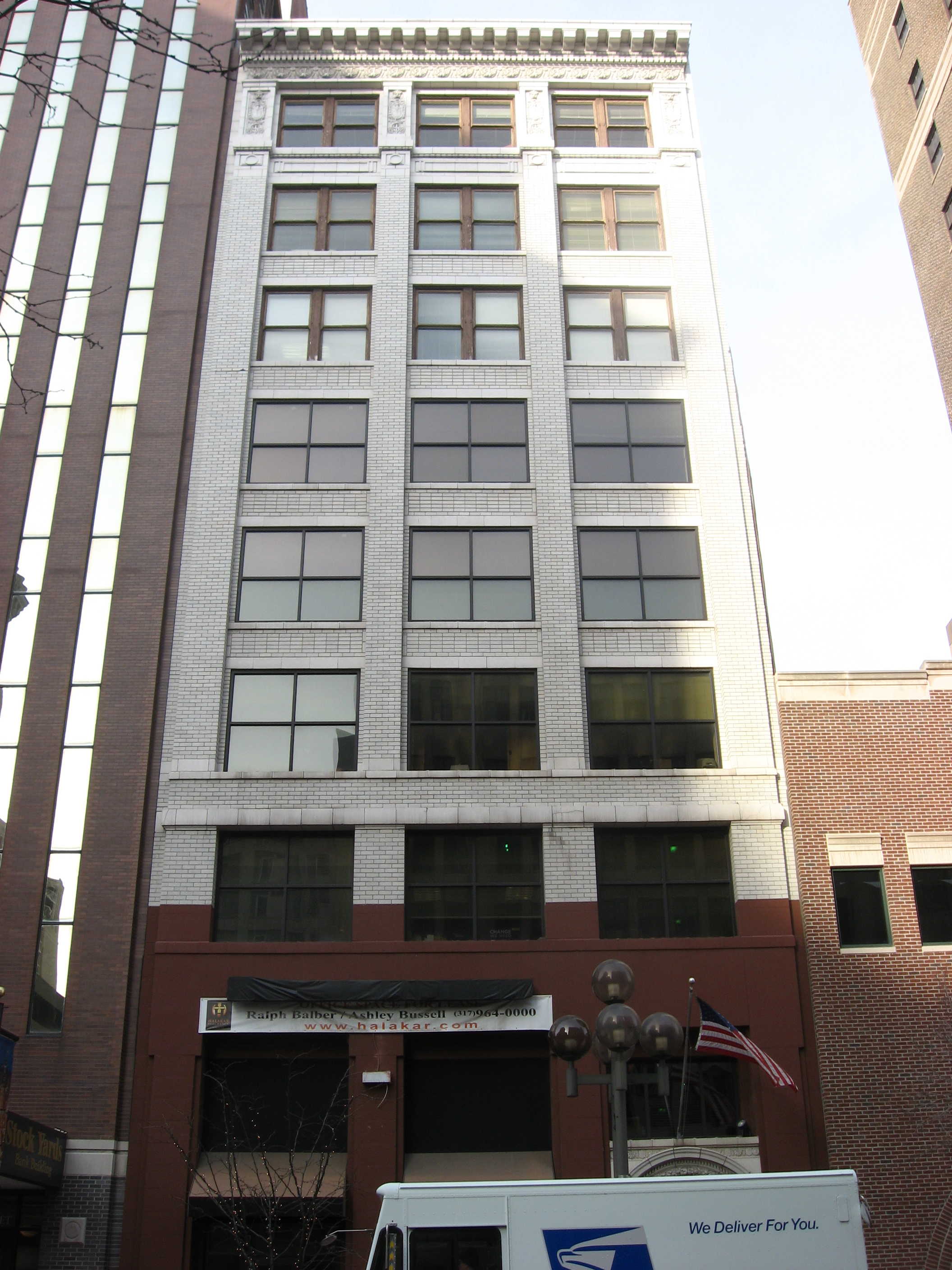
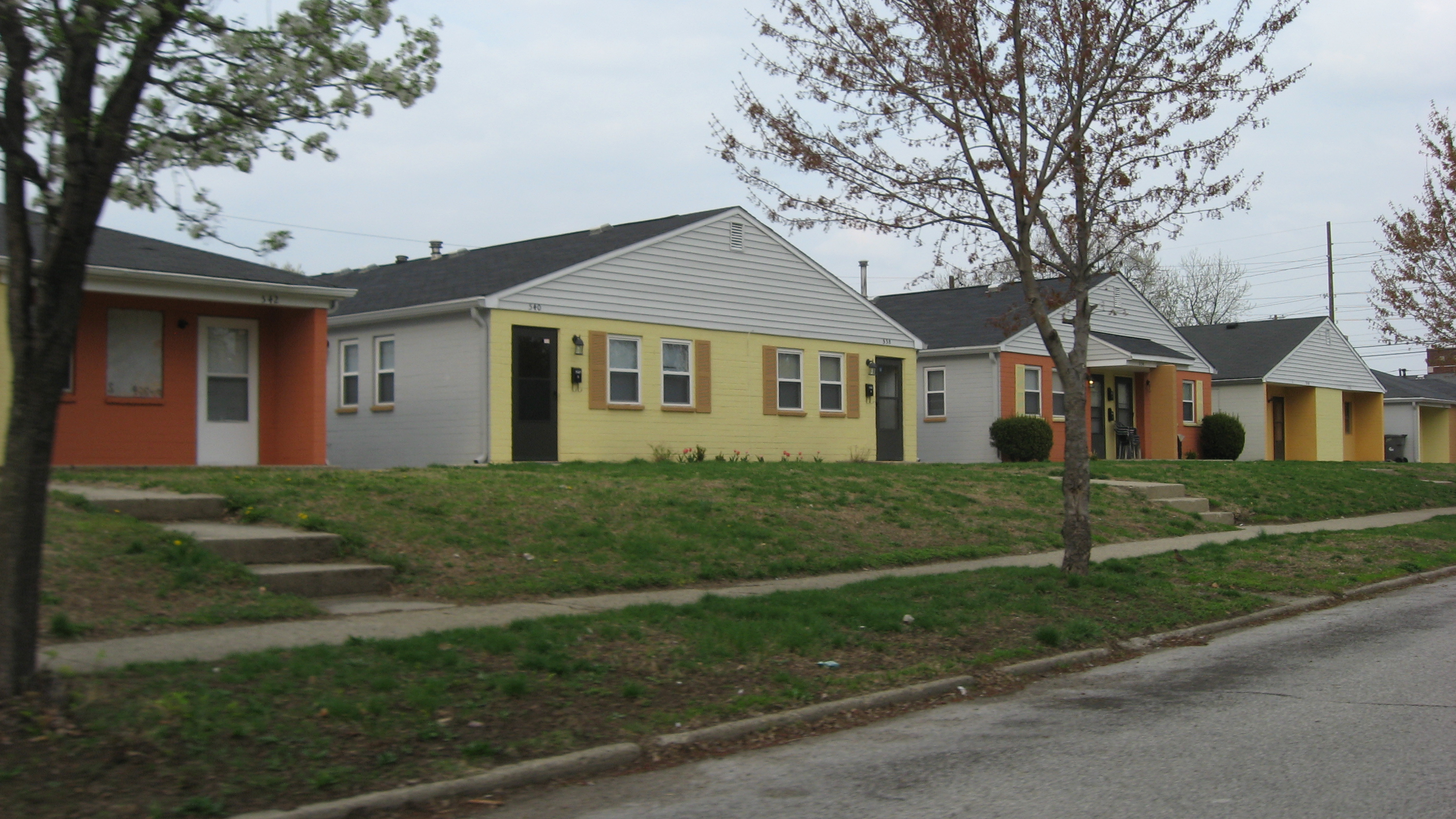
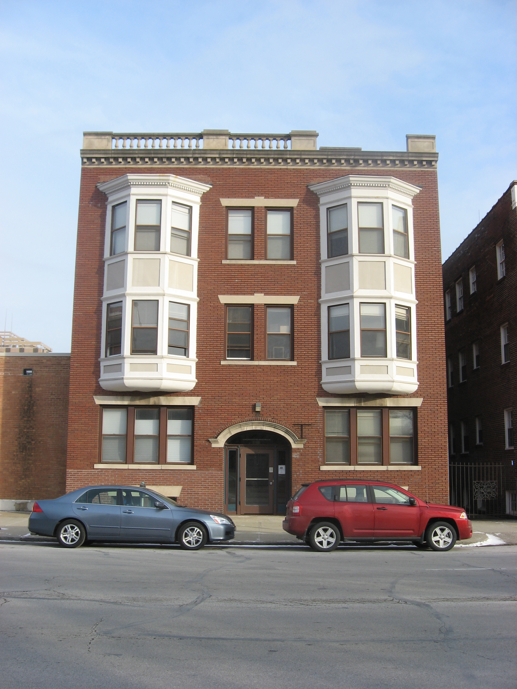
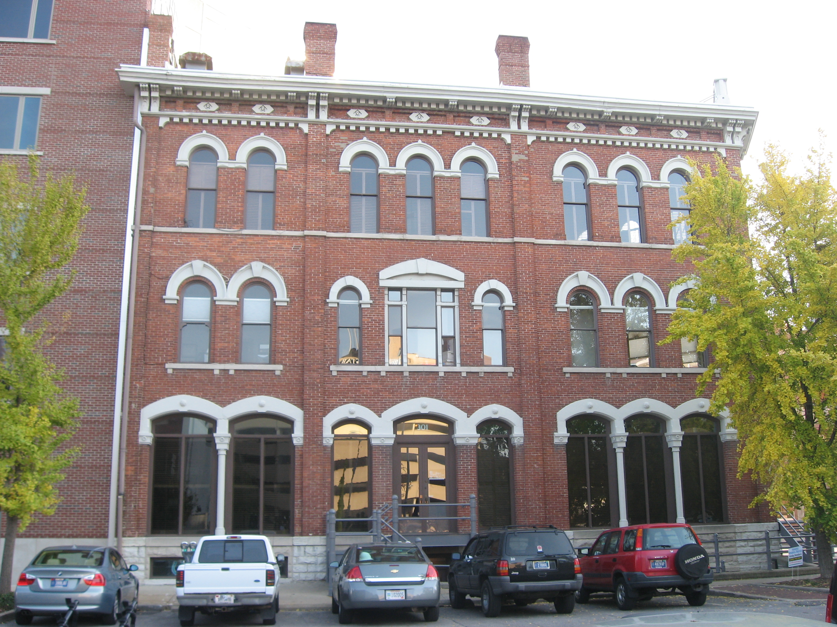
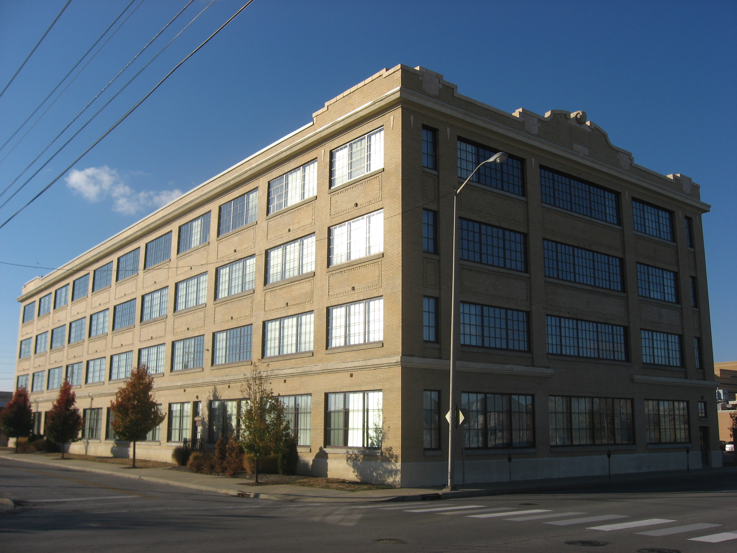
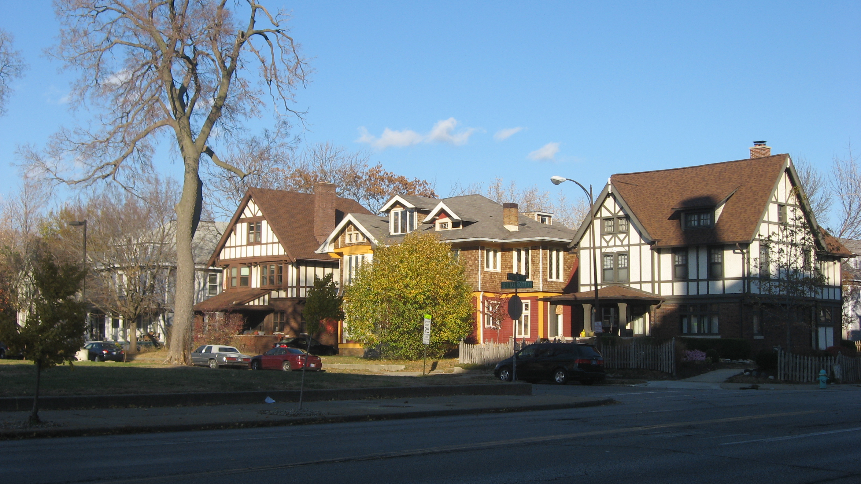
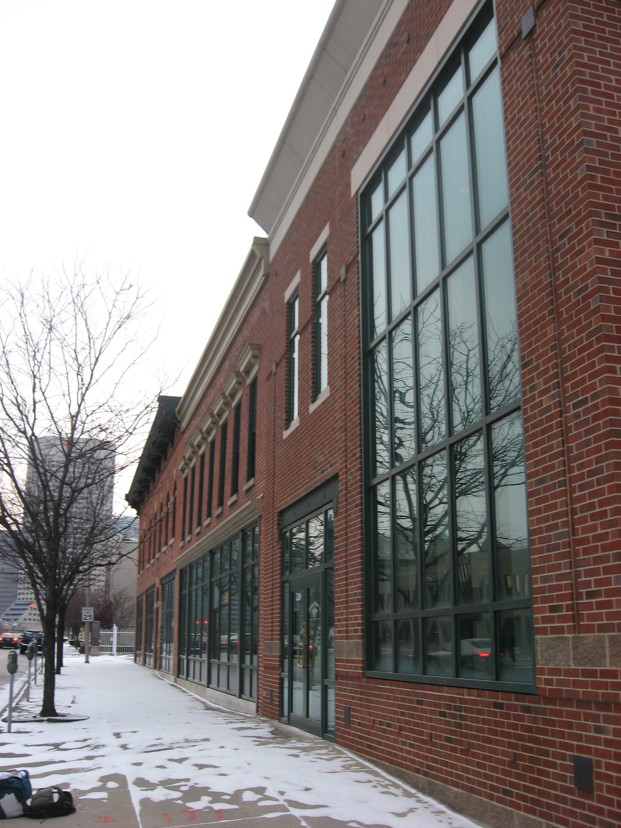
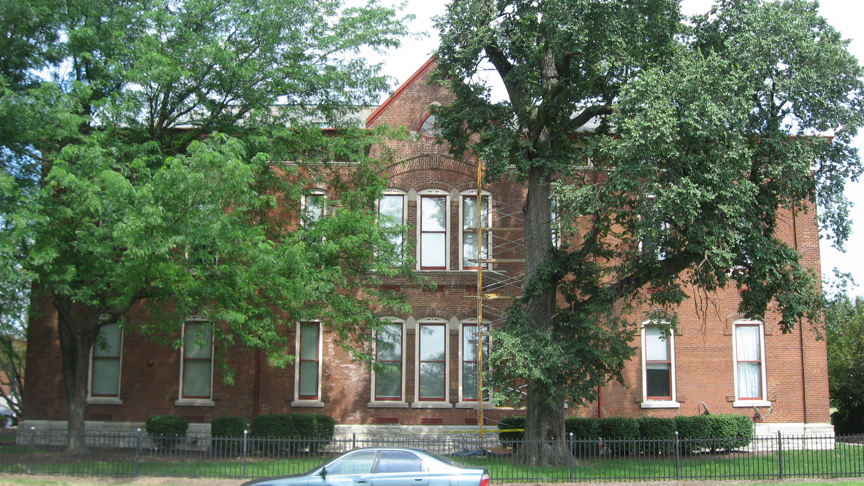
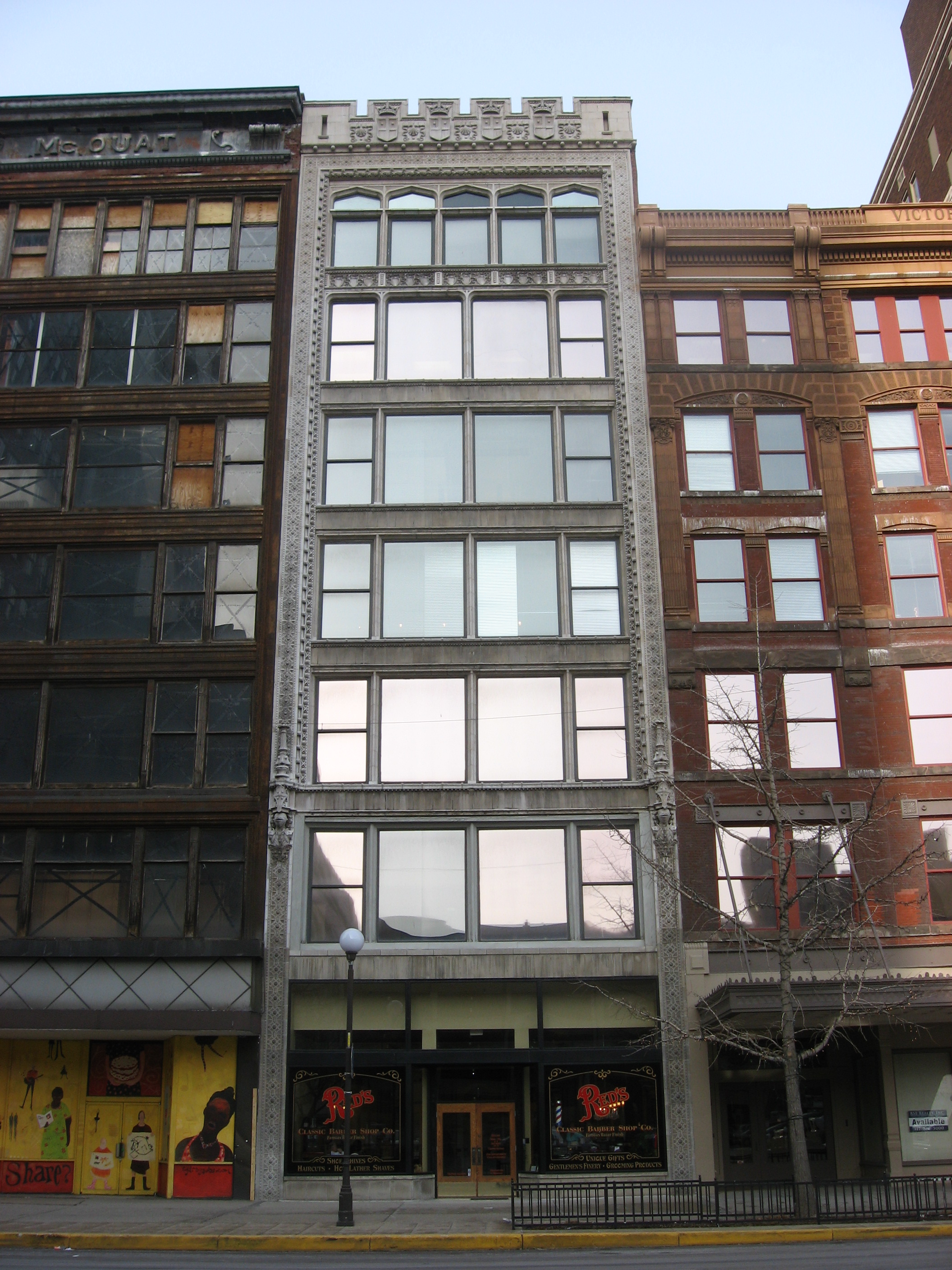
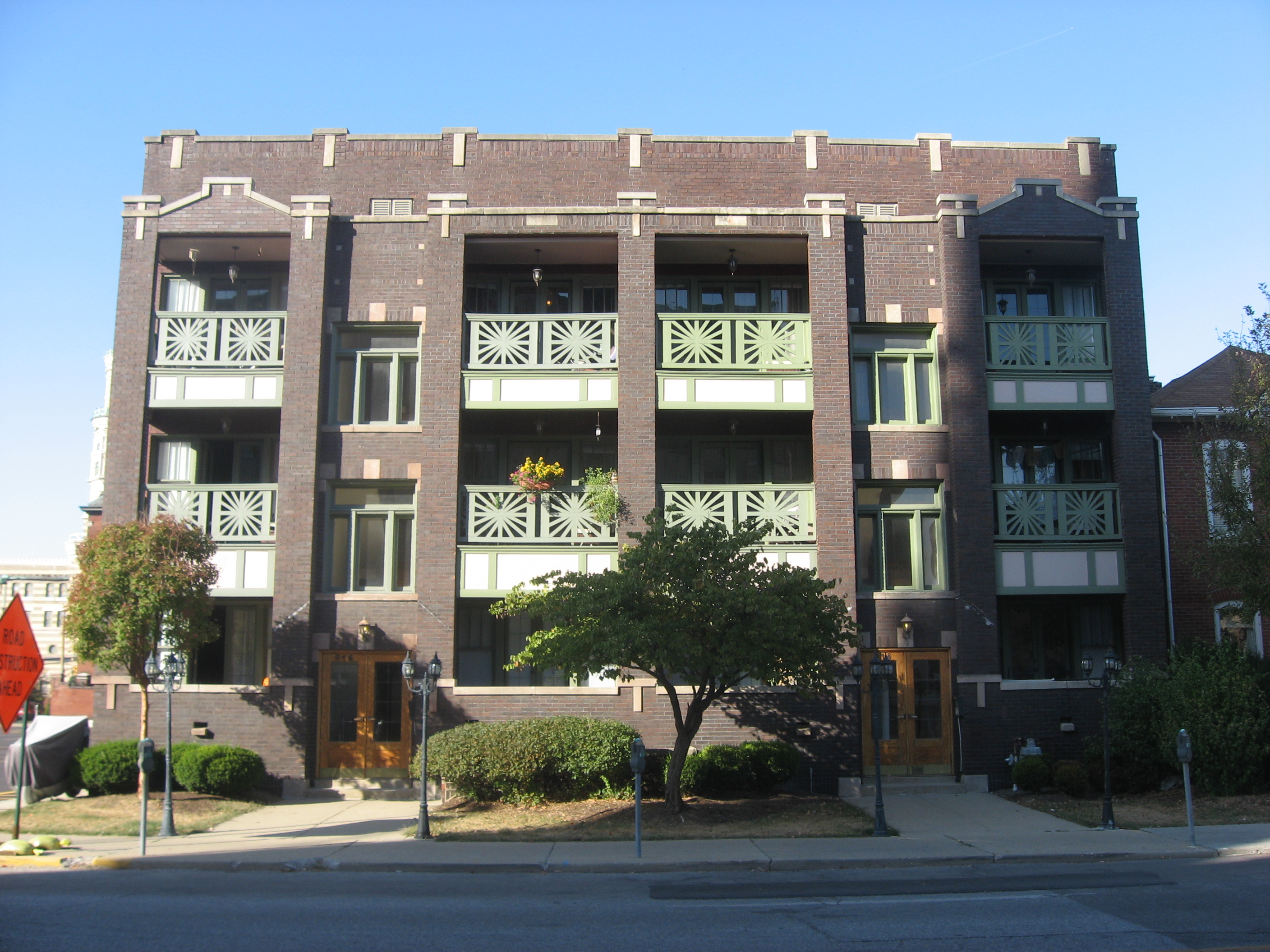
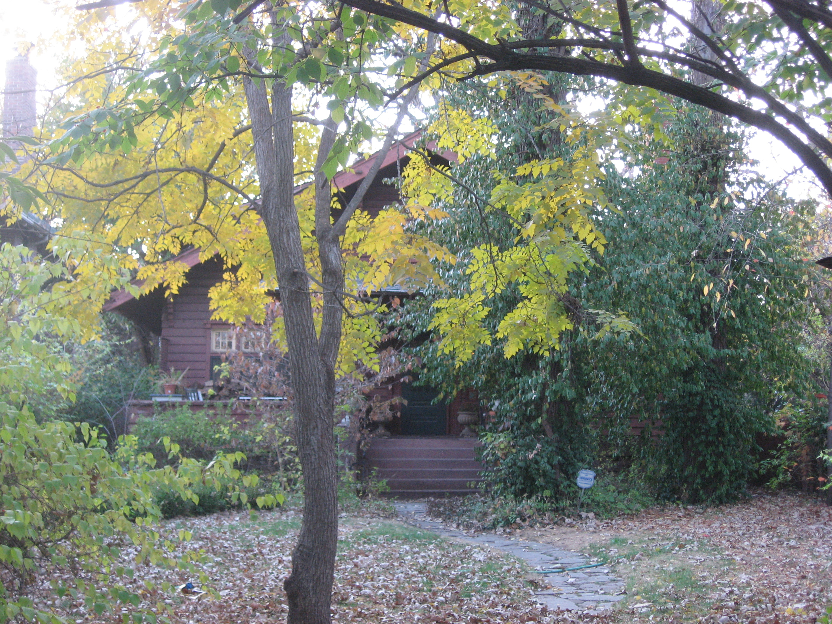
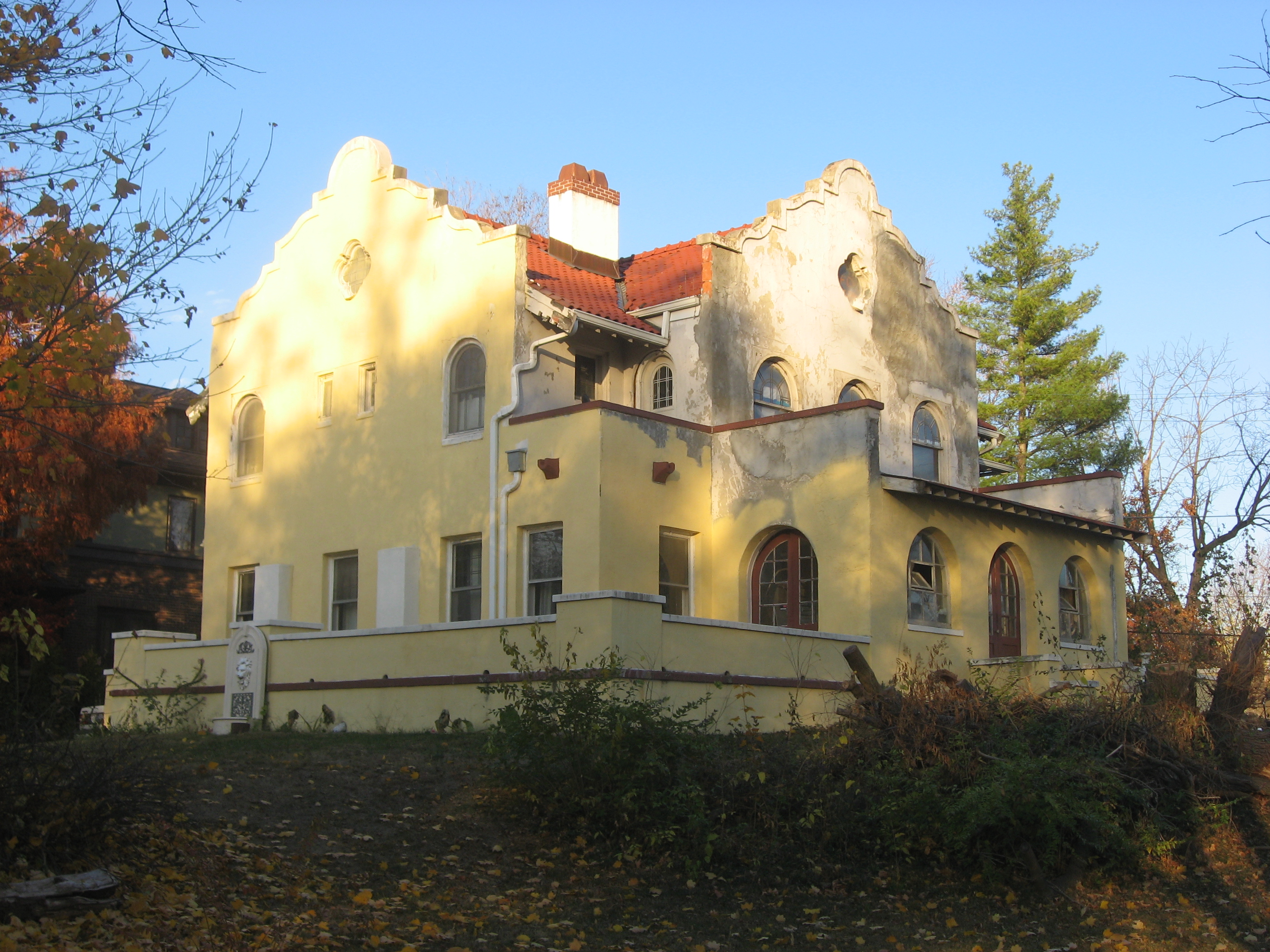
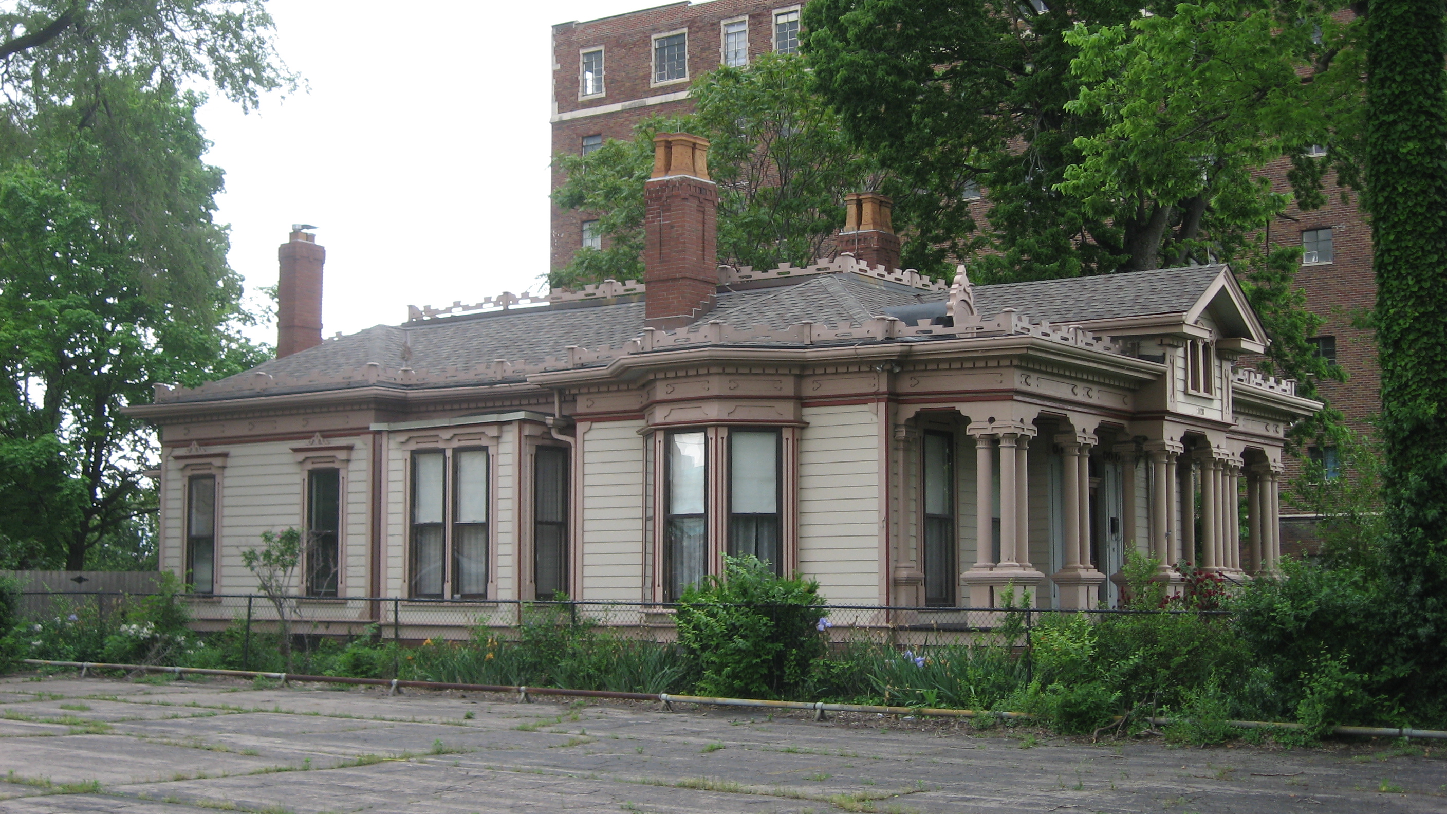
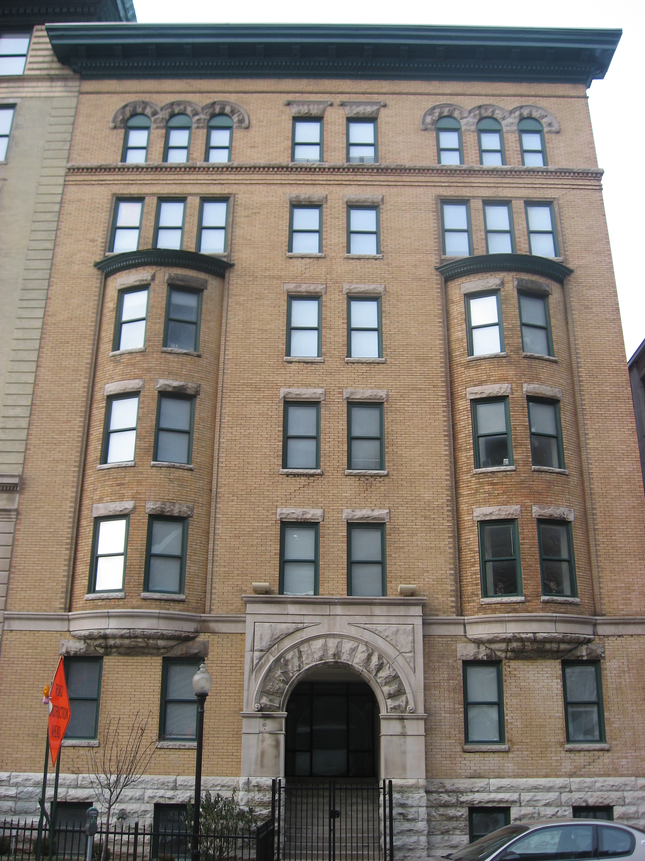
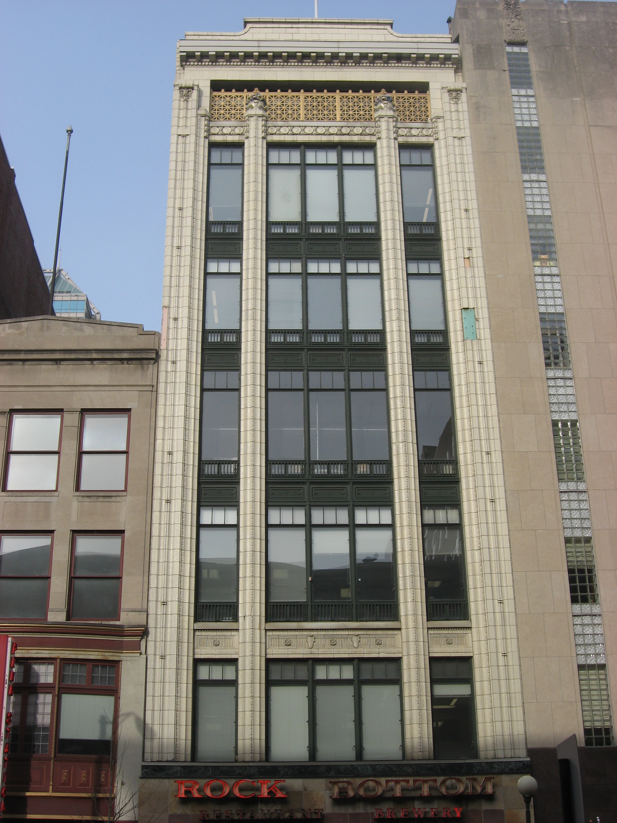
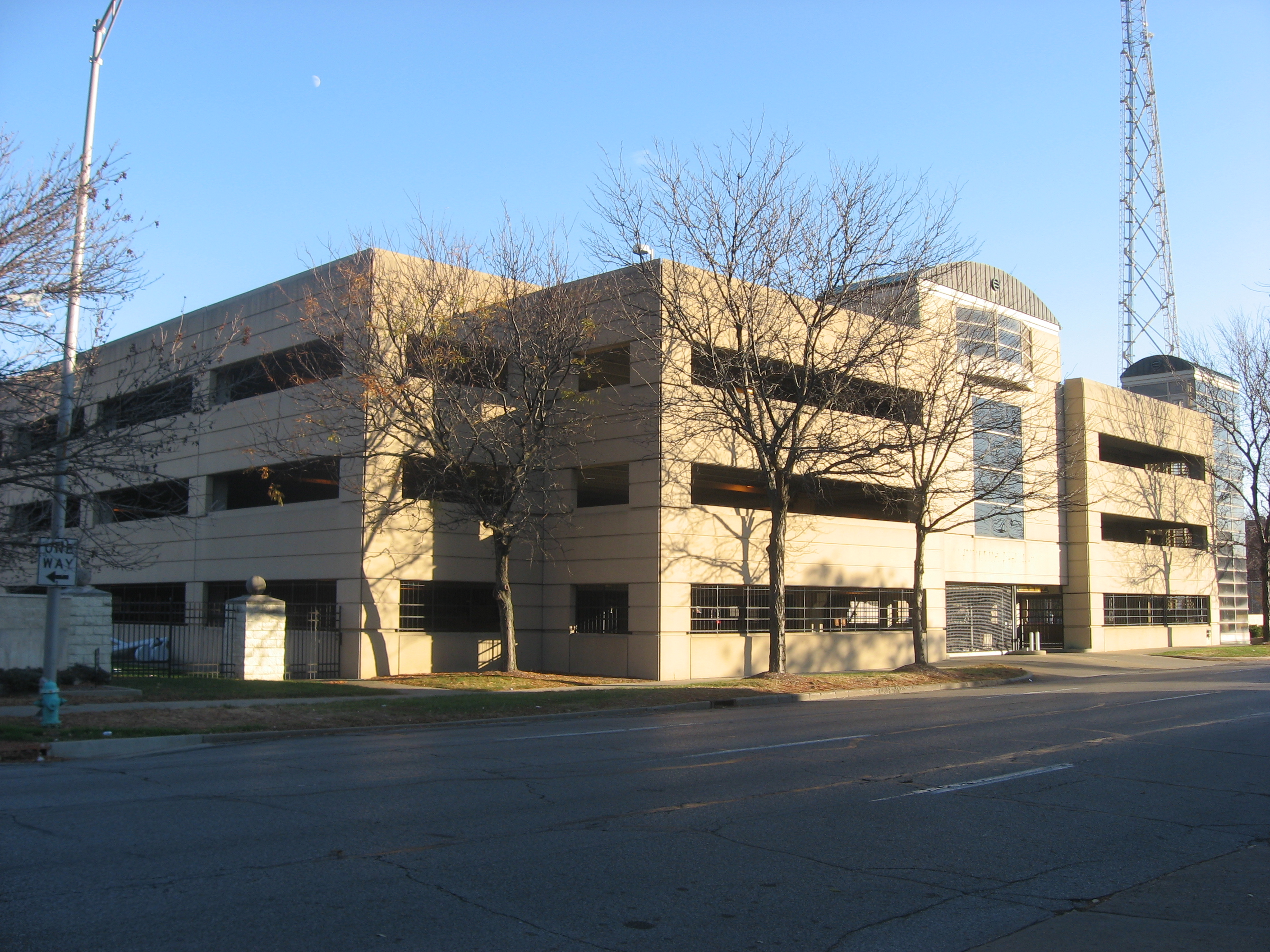
[3] Landmark name[4] Image Date listed Location Summary 1 The Alameda 
September 15, 1983 37 W. St. Clair St.
39°46′41″N 86°9′33″W / 39.77806°N 86.15917°W2 The Alexandra 
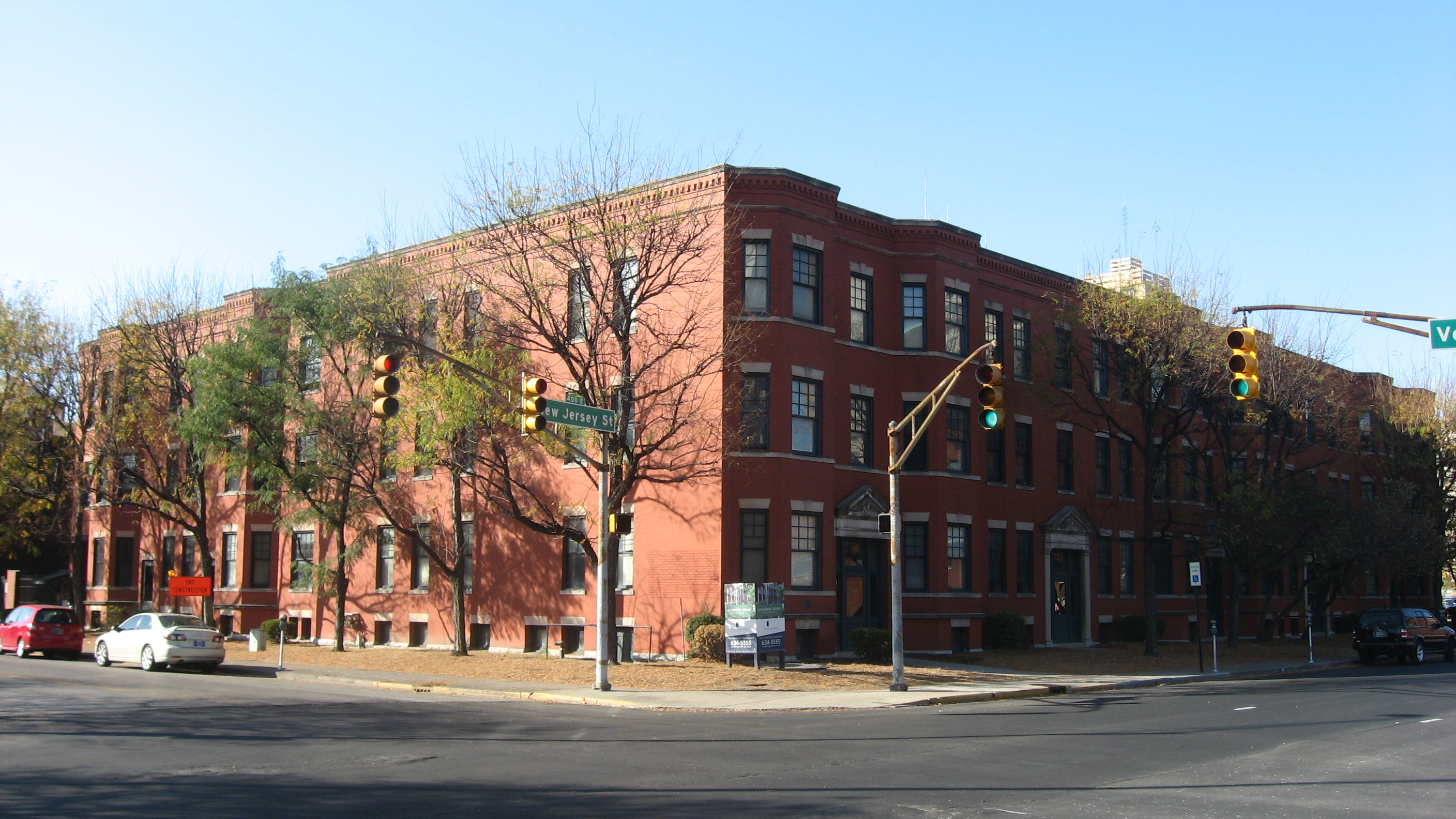
September 15, 1983 402-416 N. New Jersey St. and 332-336 E. Vermont St.
39°46′22″N 86°9′2″W / 39.77278°N 86.15056°W3 The Ambassador 
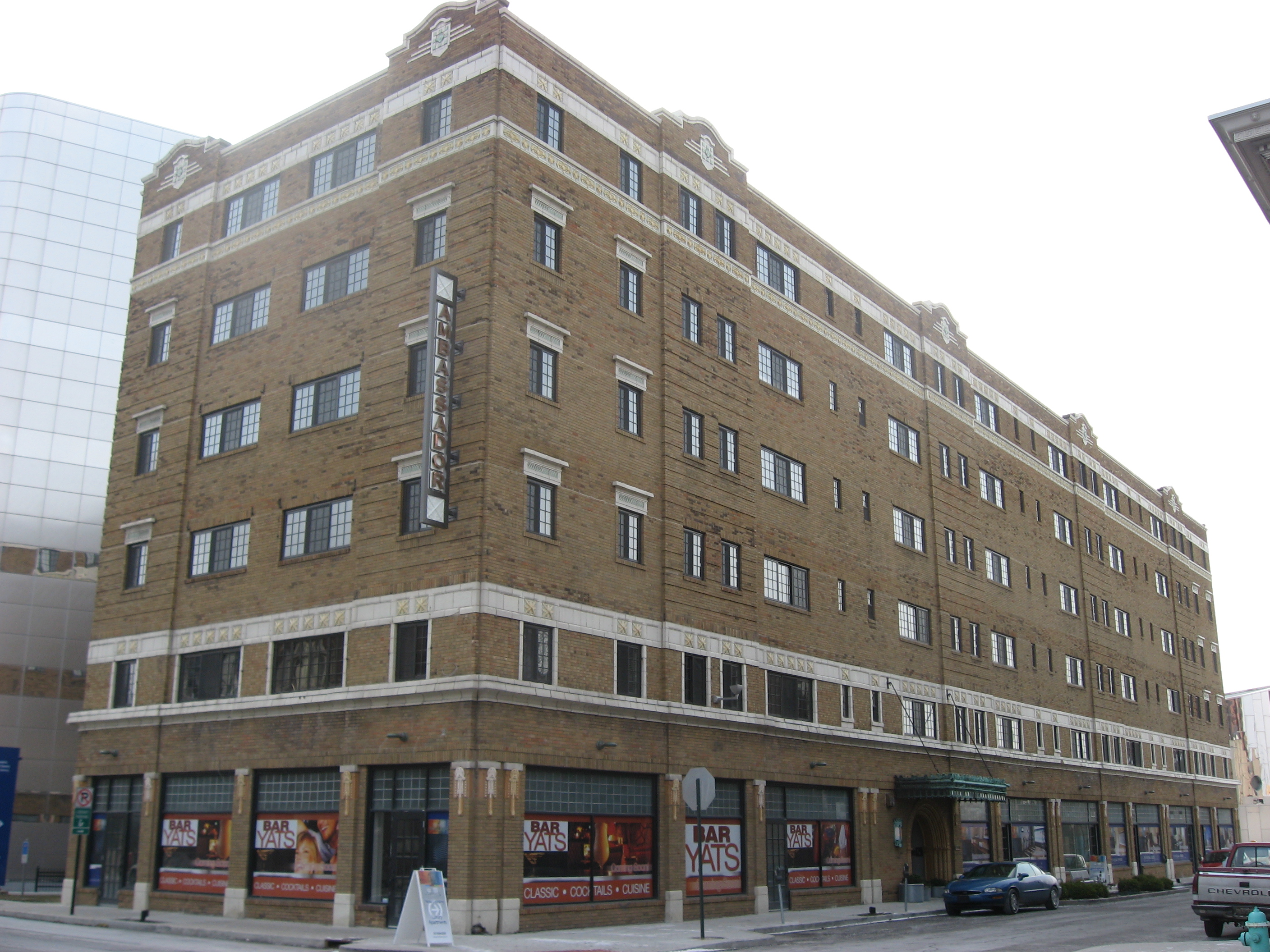
September 15, 1983 39 E. 9th St.
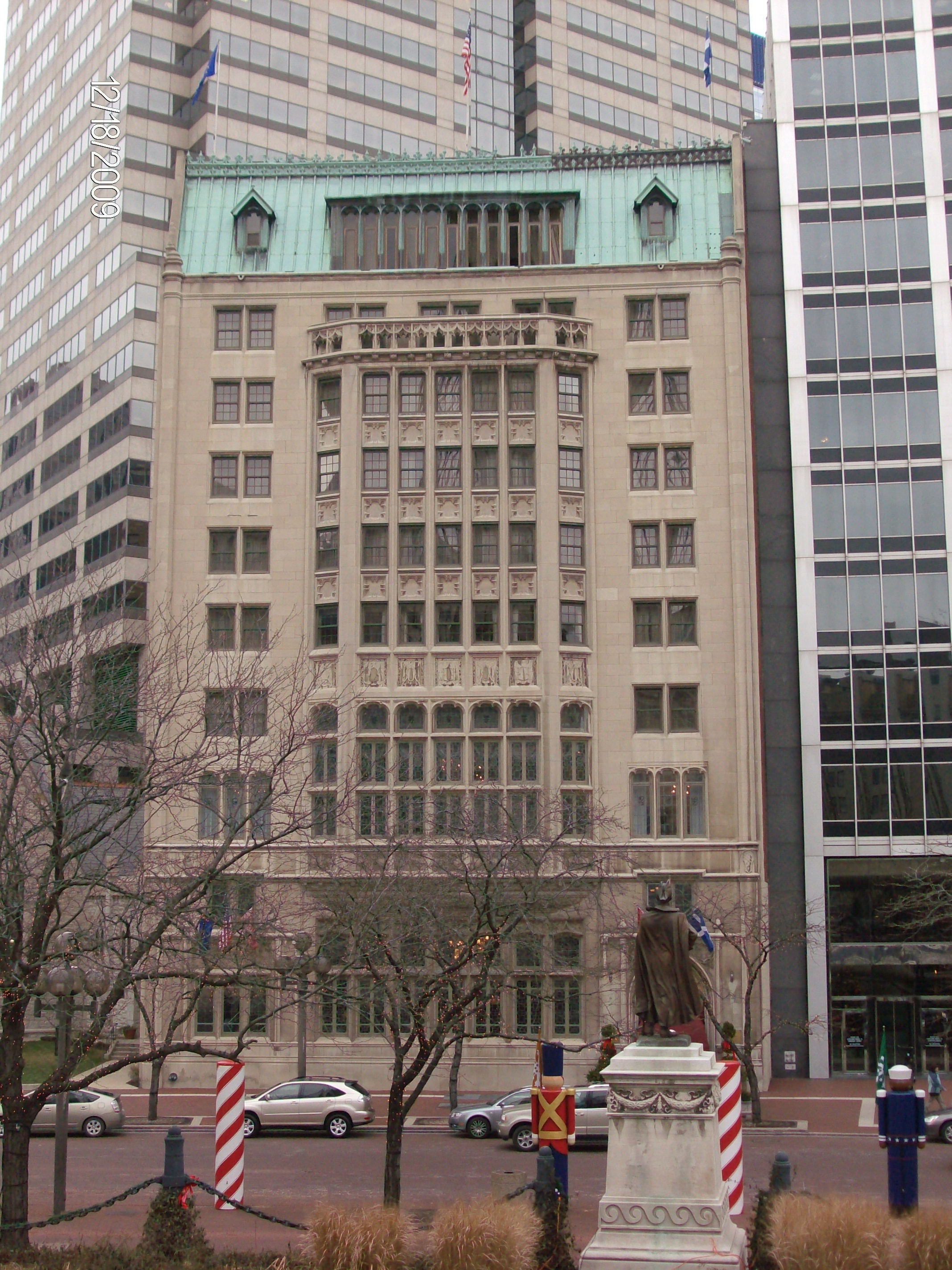
39°46′44″N 86°9′21″W / 39.77889°N 86.15583°W4 Athenaeum (Das Deutsche Haus) 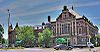
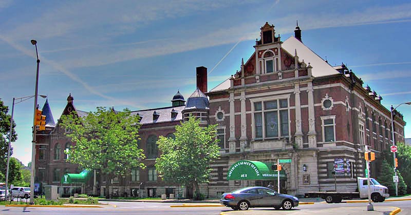
February 21, 1973 401 E. Michigan St.
39°46′24″N 86°9′1″W / 39.77333°N 86.15028°W5 Crispus Attucks High School 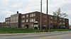
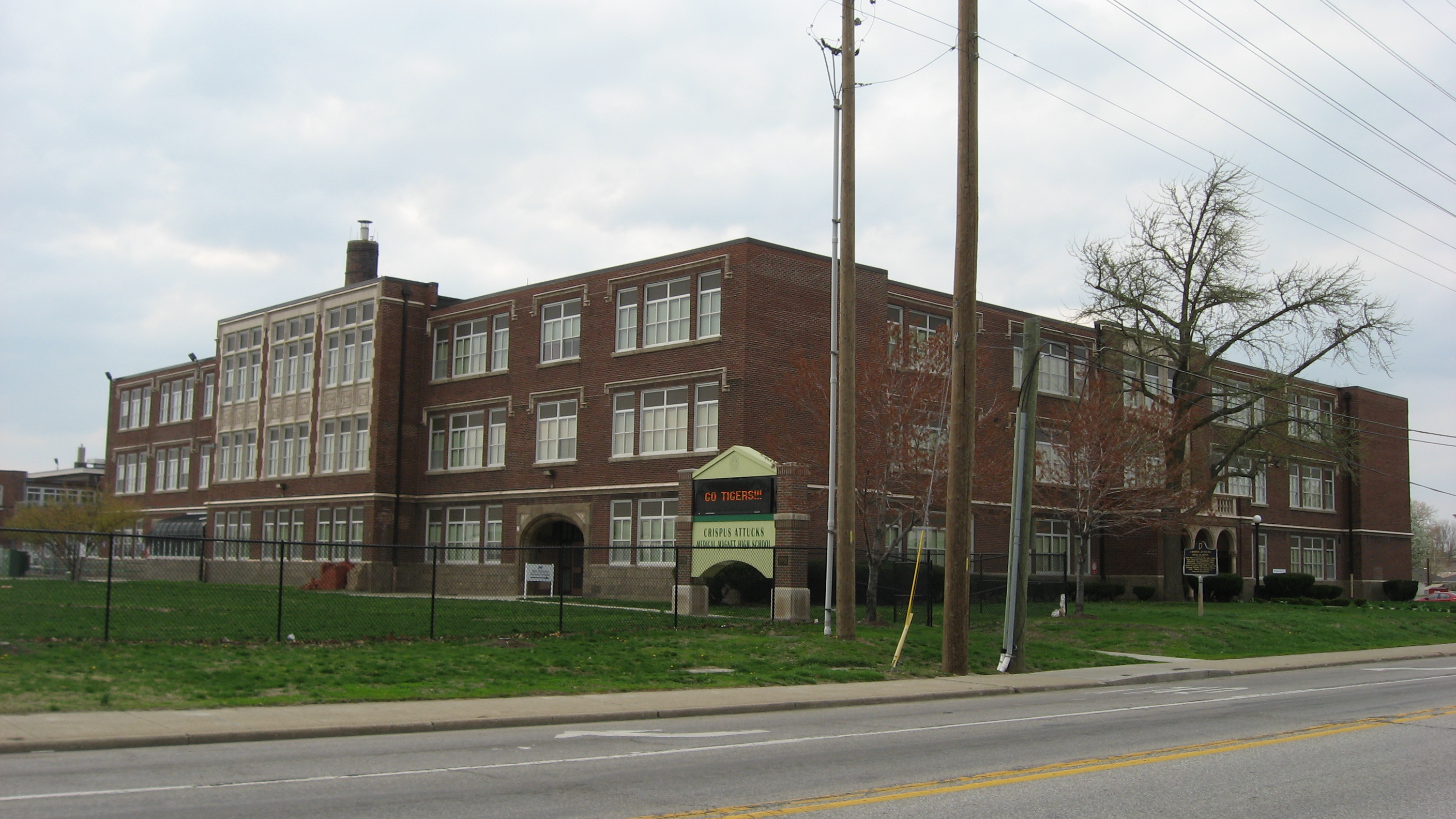
January 4, 1989 1140 N. Martin Luther King, Jr., St.
39°46′58″N 86°10′12″W / 39.78278°N 86.17°W6 L.S. Ayres Annex Warehouse 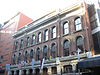
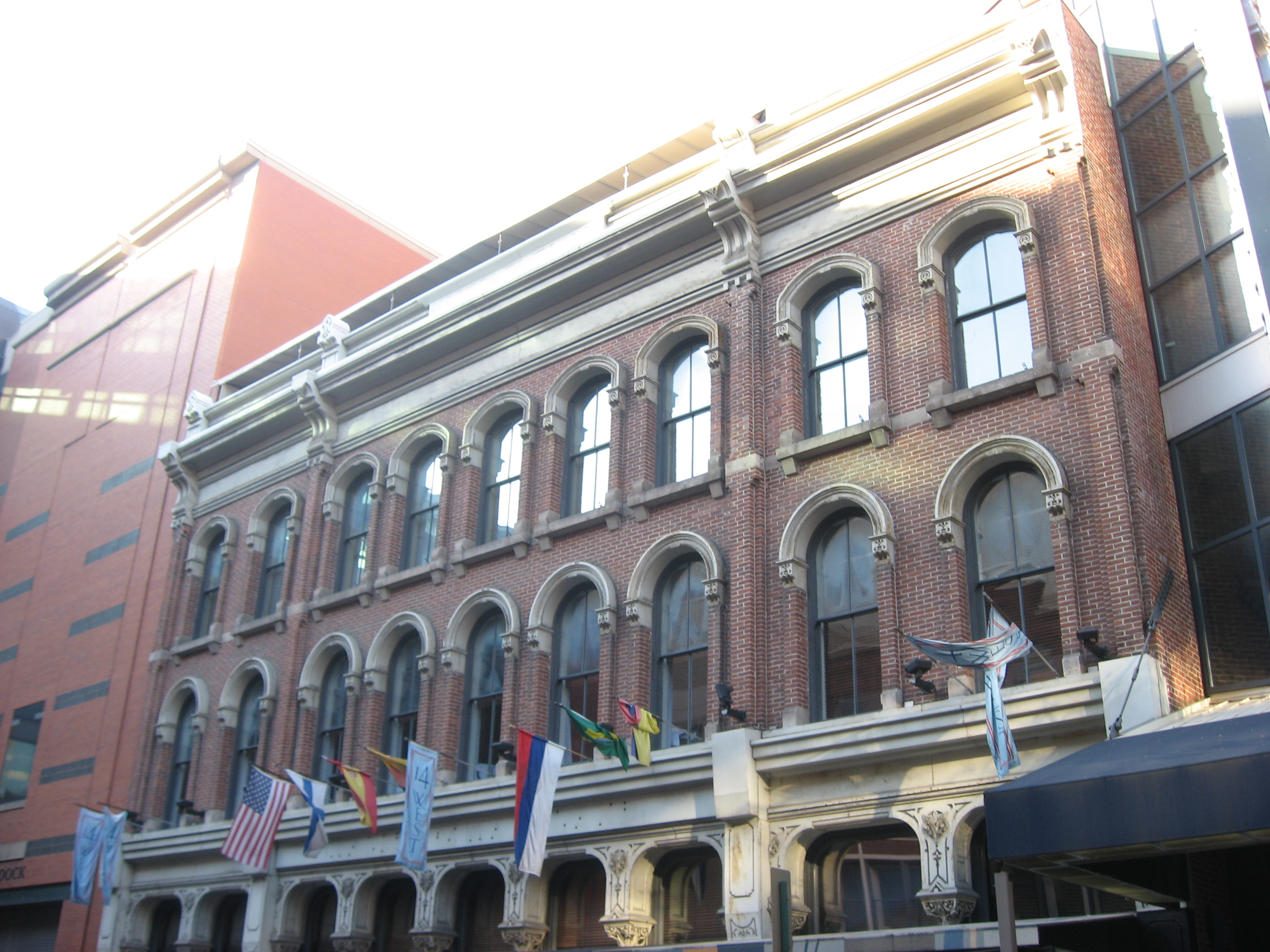
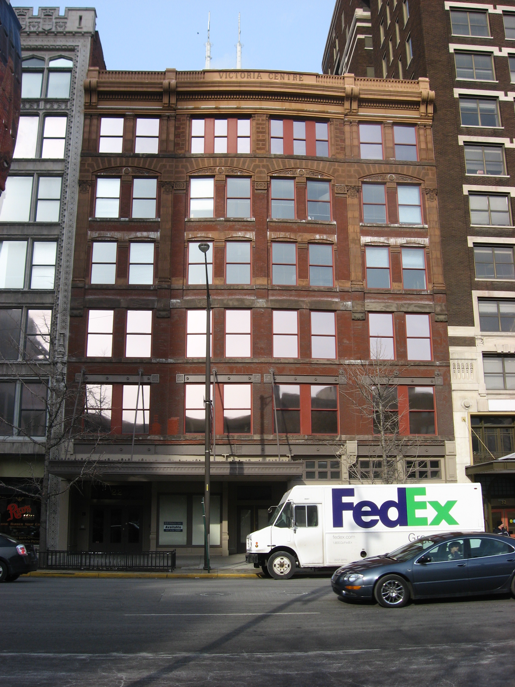
April 23, 1973 14-22 W. Maryland St.
39°45′57″N 86°9′30″W / 39.76583°N 86.15833°W[5]7 The Baker 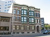
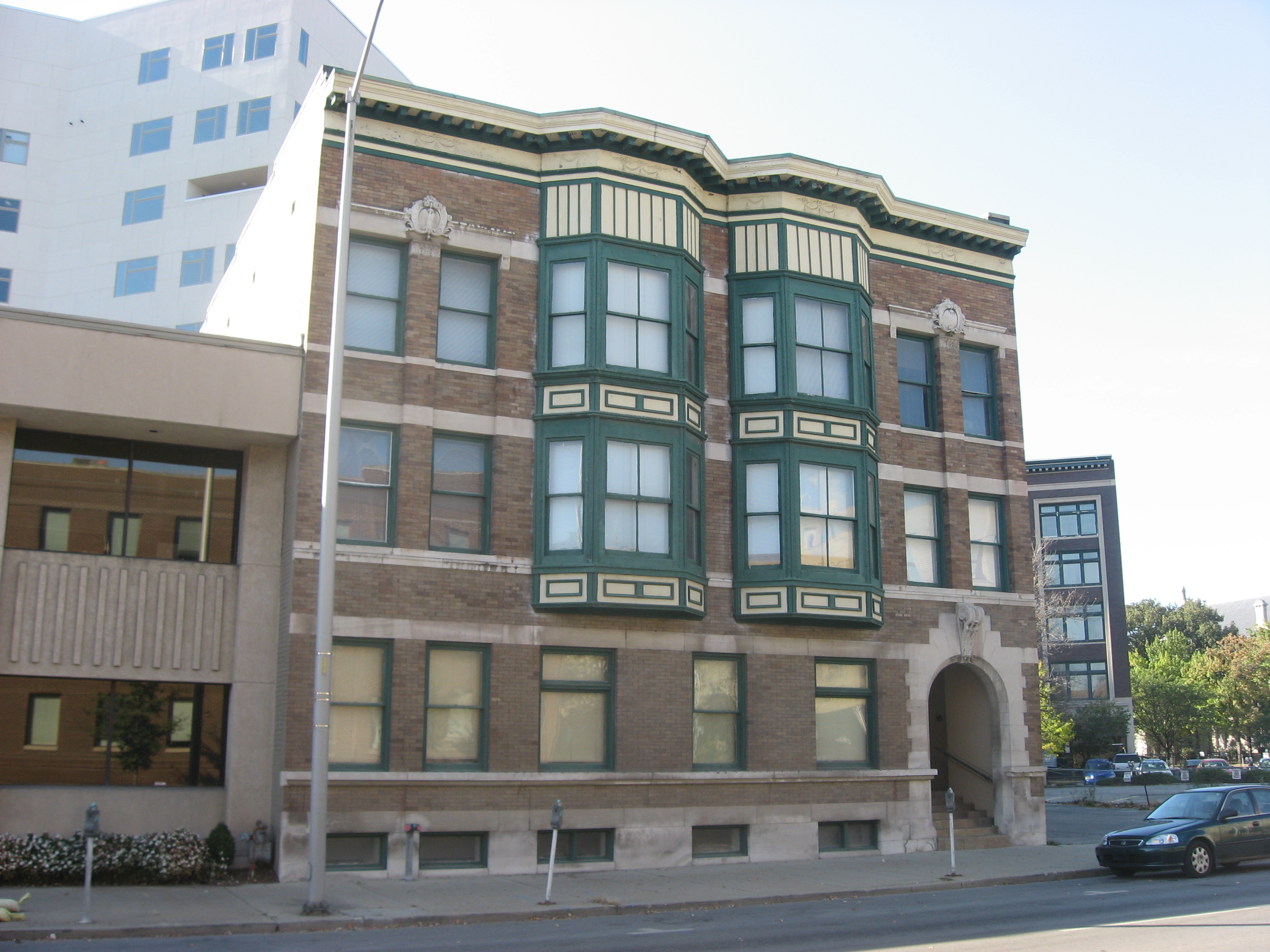
September 15, 1983 310 N. Alabama St. and 341 Massachusetts Ave.
39°46′18″N 86°9′9″W / 39.77167°N 86.1525°W8 Balmoral Court 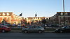
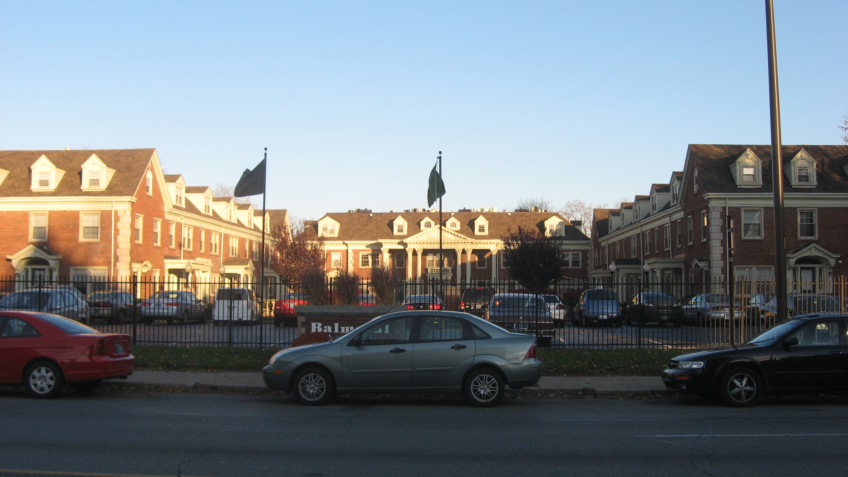
November 27, 1992 3055 N. Meridian St.
39°48′43″N 86°9′22″W / 39.81194°N 86.15611°W9 Bals-Wocher House 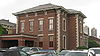
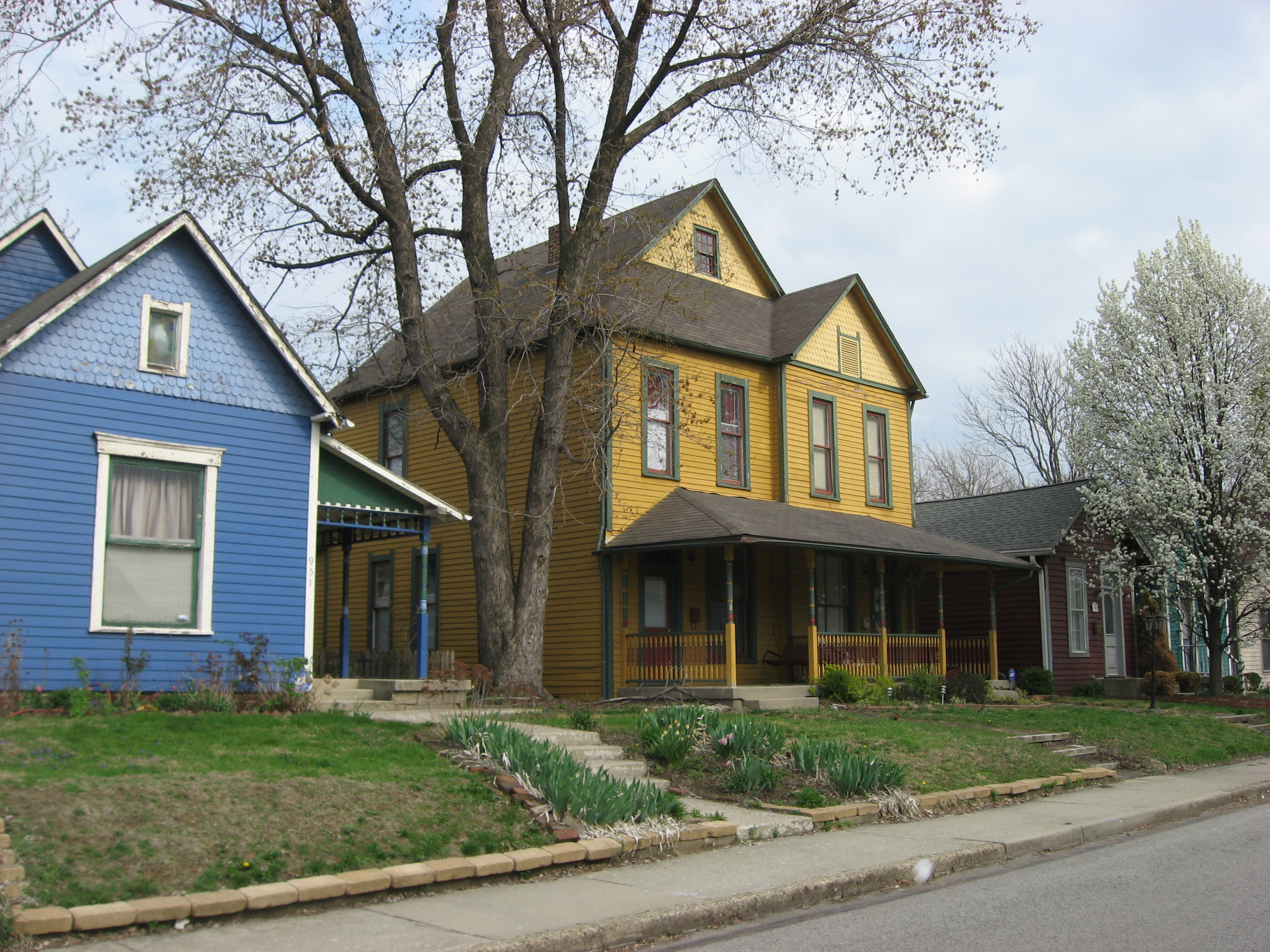
December 17, 1979 951 N. Delaware St.
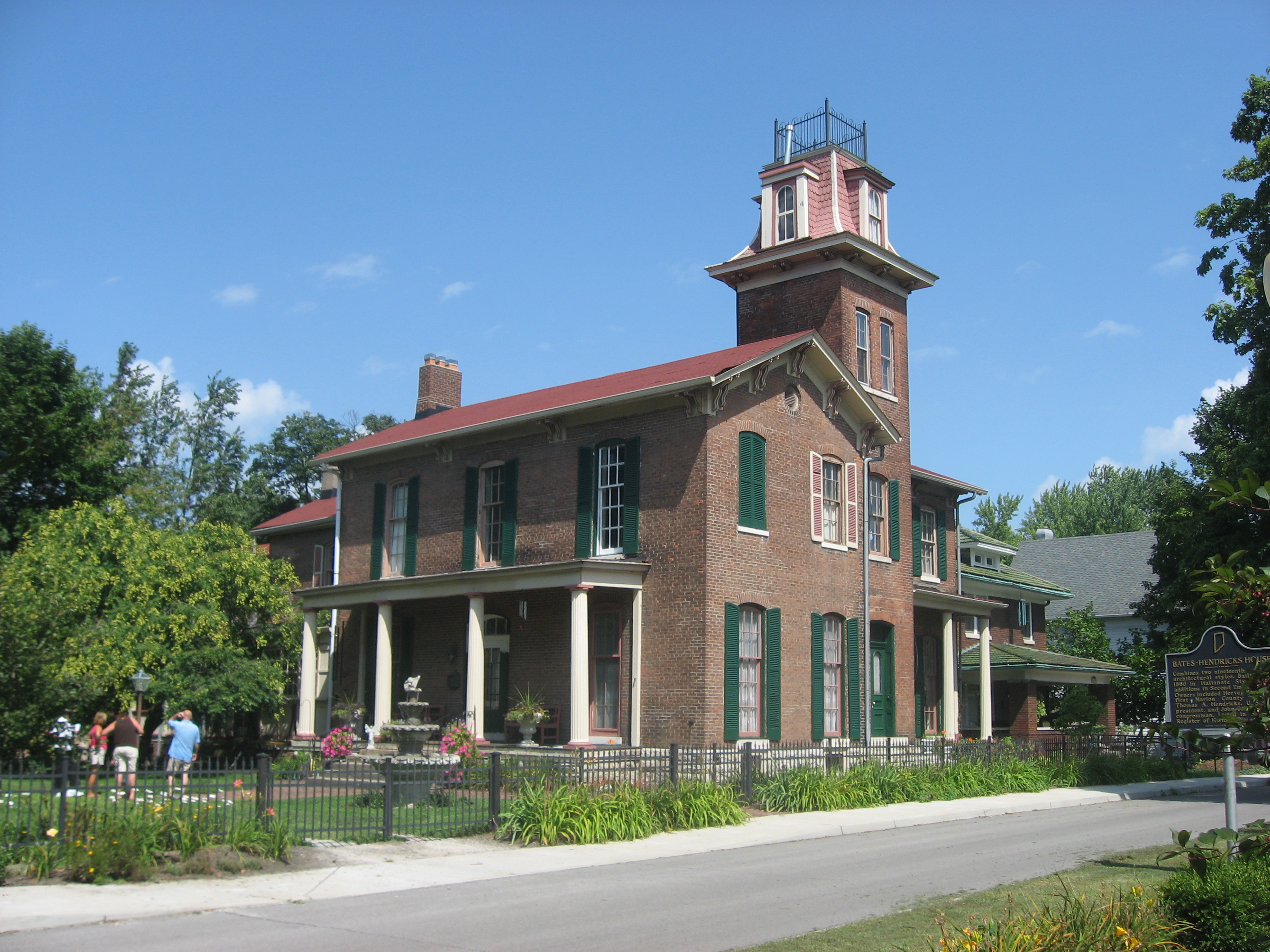
39°46′49″N 86°9′13.2″W / 39.78028°N 86.153667°W10 Bates-Hendricks House 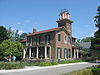
April 11, 1977 1526 S. New Jersey St.
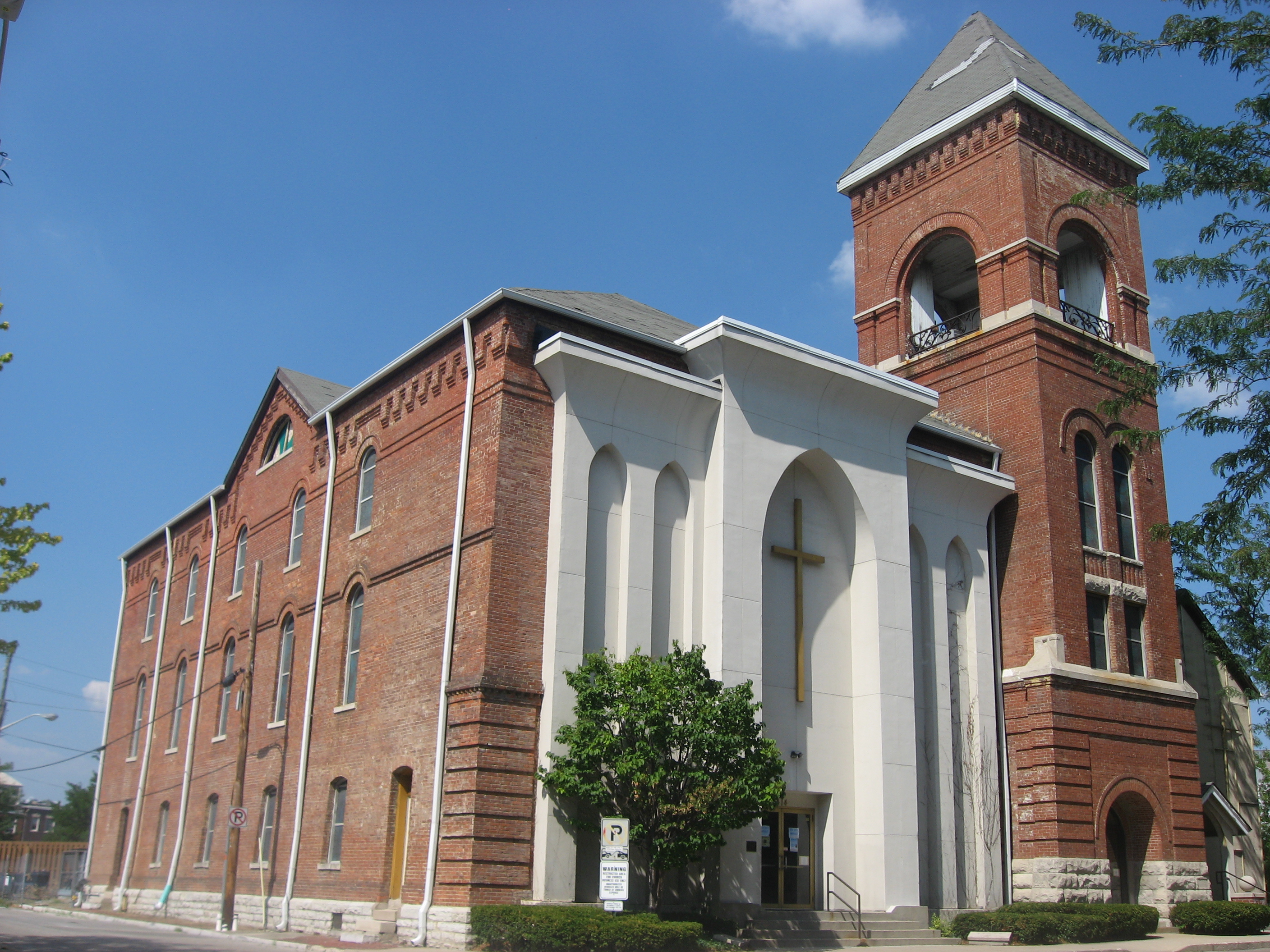
39°44′47″N 86°9′3″W / 39.74639°N 86.15083°W11 Bethel A.M.E. Church 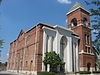
March 21, 1991 414 W. Vermont St.
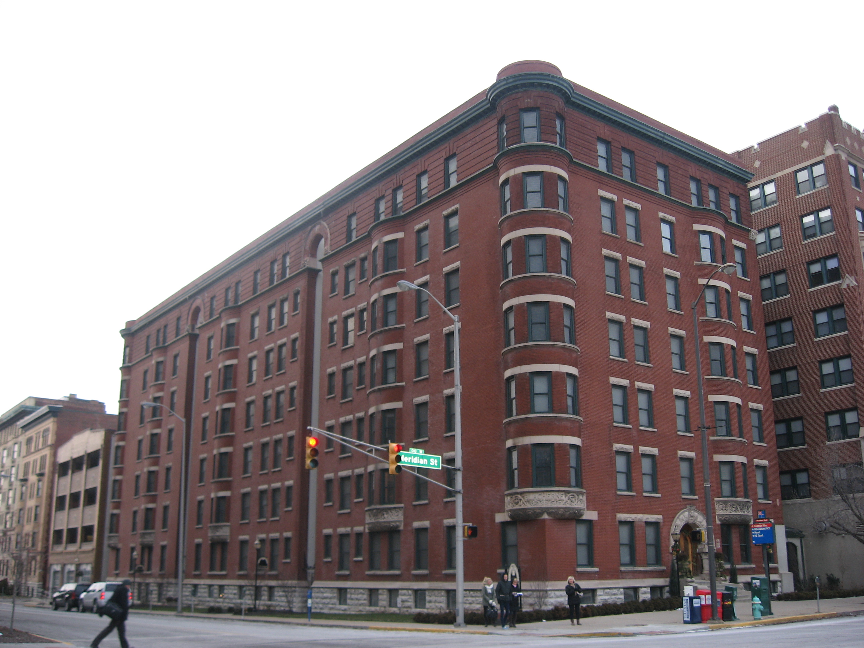
39°46′23″N 86°9′56″W / 39.77306°N 86.16556°W12 The Blacherne 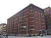
September 15, 1983 402 N. Meridian St.
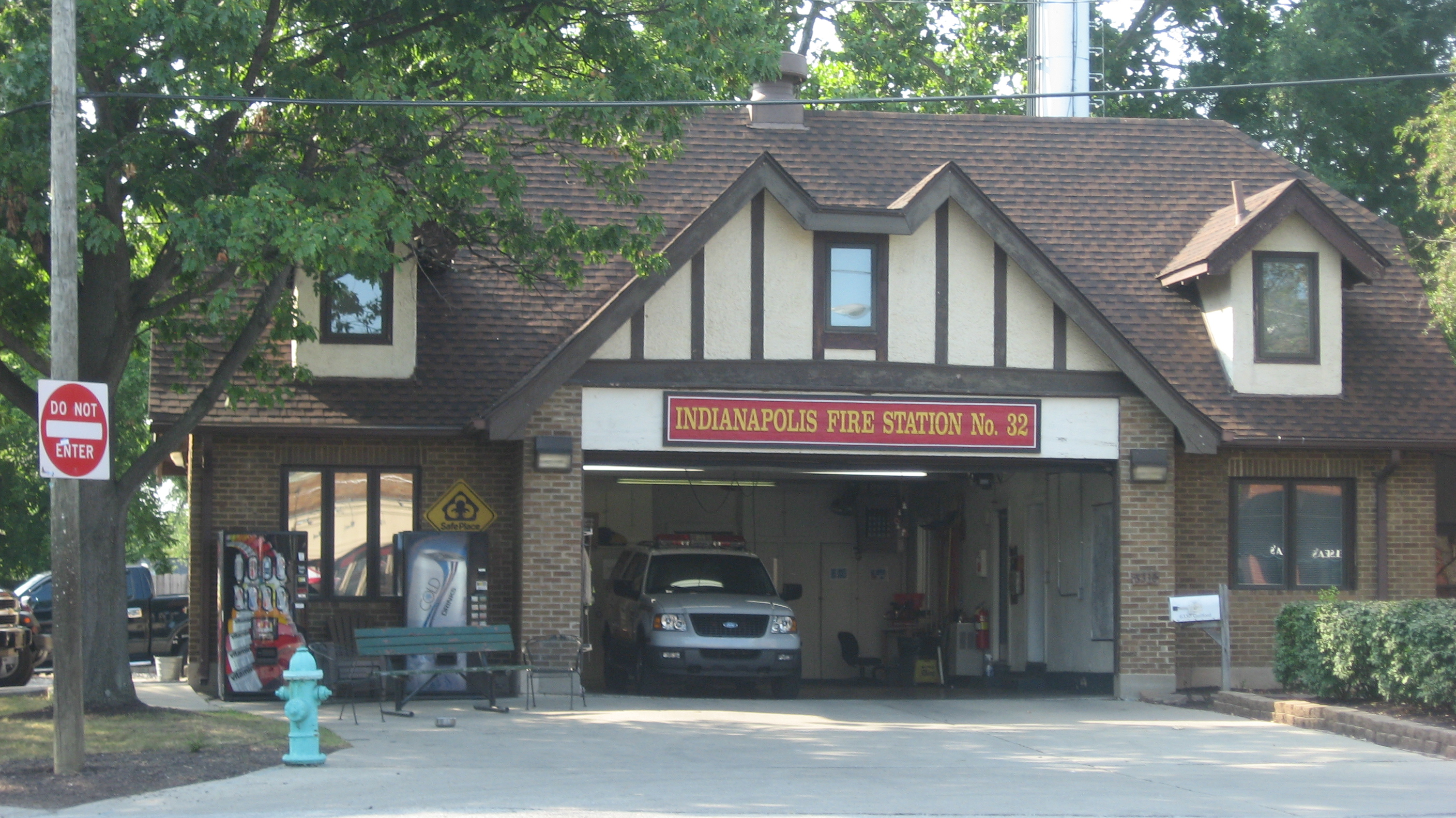
39°46′22″N 86°9′29″W / 39.77278°N 86.15806°W13 Broad Ripple Firehouse-Indianapolis Fire Department Station 32 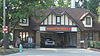
September 15, 2011 6330 Guilford Ave.
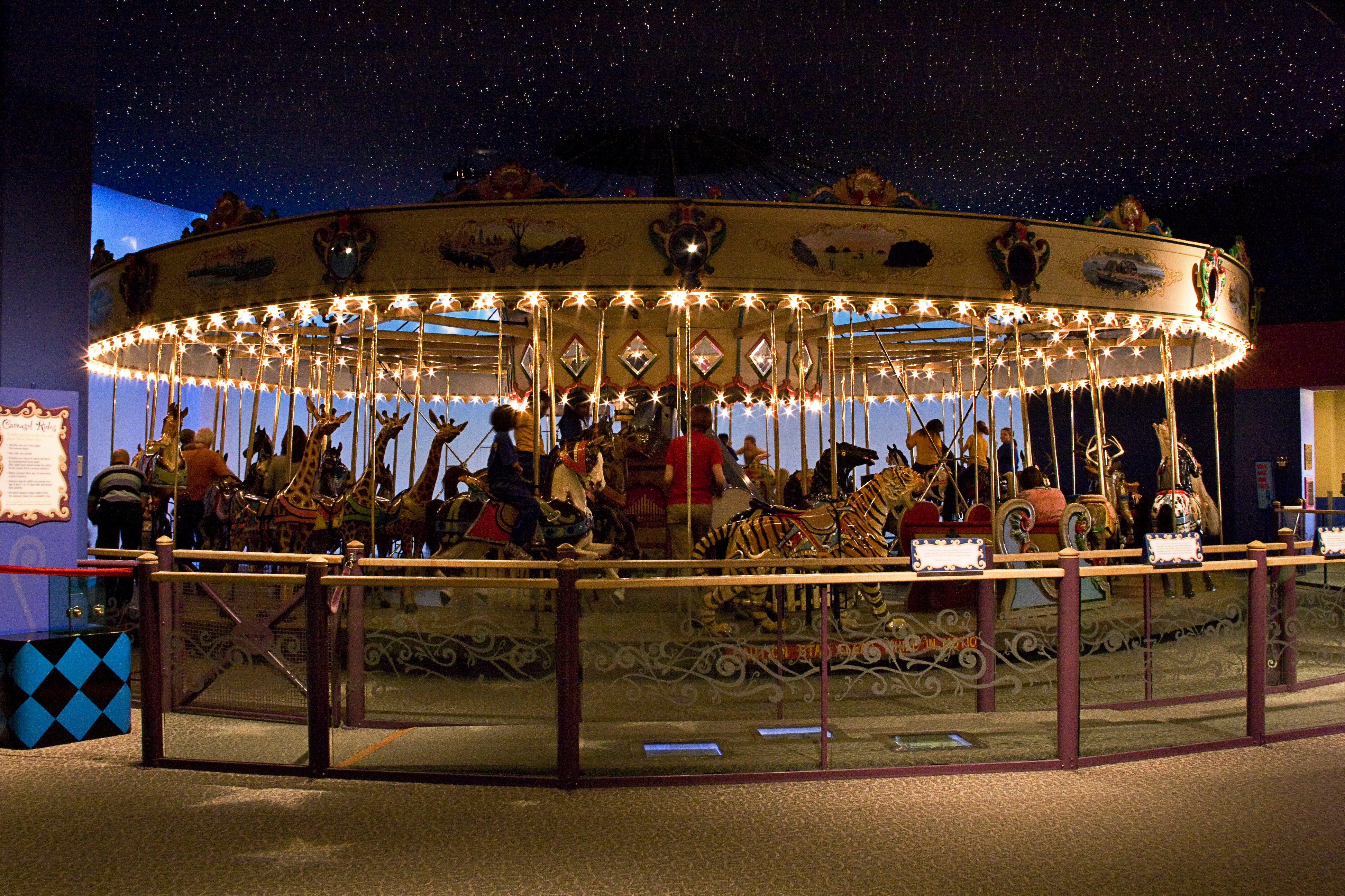
39°52′15″N 86°8′35″W / 39.87083°N 86.14306°W14 Broad Ripple Park Carousel 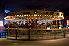
February 27, 1987 Meridian and 30th Sts.
39°48′39″N 86°9′21″W / 39.81083°N 86.15583°W15 The Buckingham 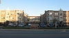
November 27, 1992 3101-3119 N. Meridian St.
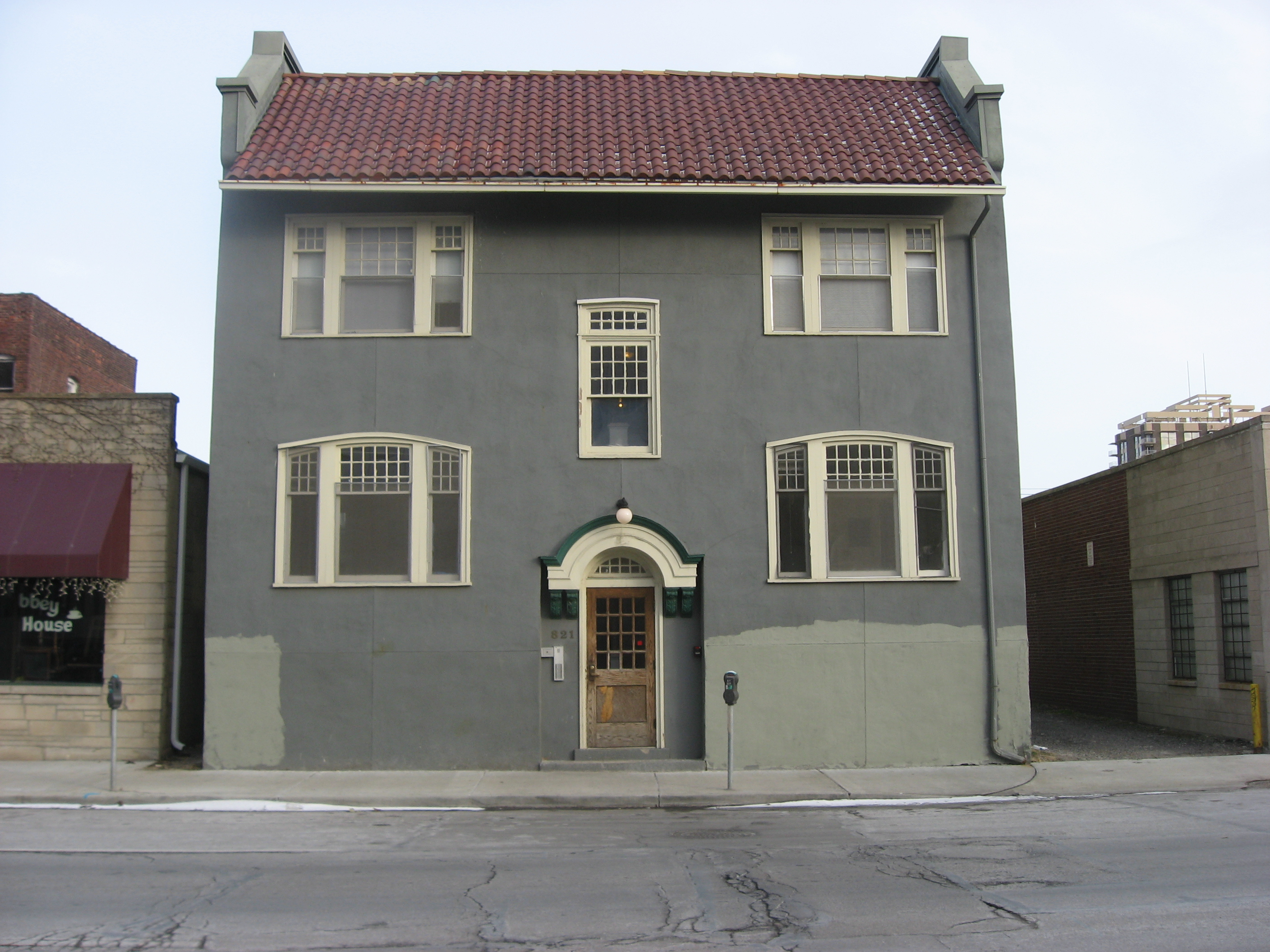
39°48′44″N 86°9′22″W / 39.81222°N 86.15611°W16 The Burton 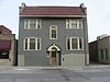
September 15, 1983 821-823 N. Pennsylvania St.
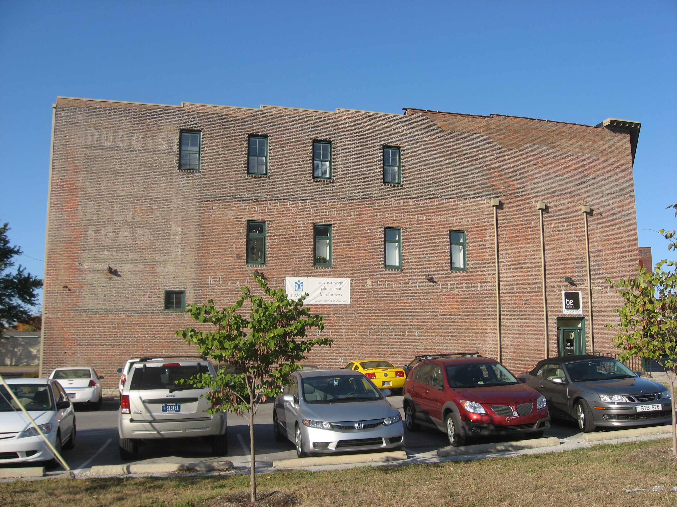
39°46′42″N 86°9′20″W / 39.77833°N 86.15556°W17 William Buschmann Block 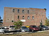
August 26, 1988 968-972 Fort Wayne Ave.
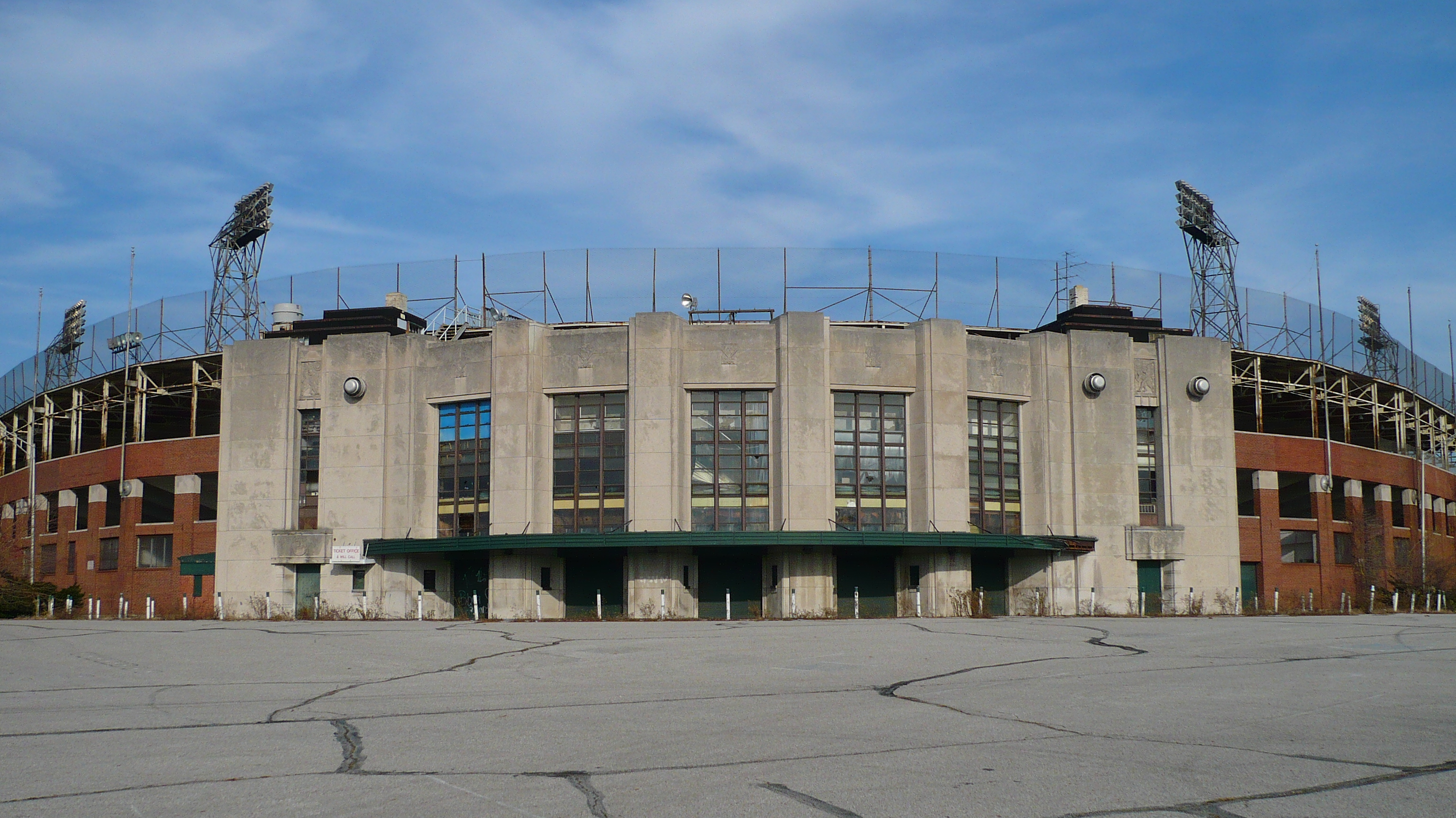
39°46′51″N 86°9′0″W / 39.78083°N 86.15°W18 Bush Stadium 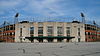
June 26, 1995 1501 W. 16th St.
39°47′15″N 86°11′21″W / 39.7875°N 86.18917°W19 Byram-Middleton House 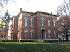
May 9, 1983 1828 N. Illinois St.
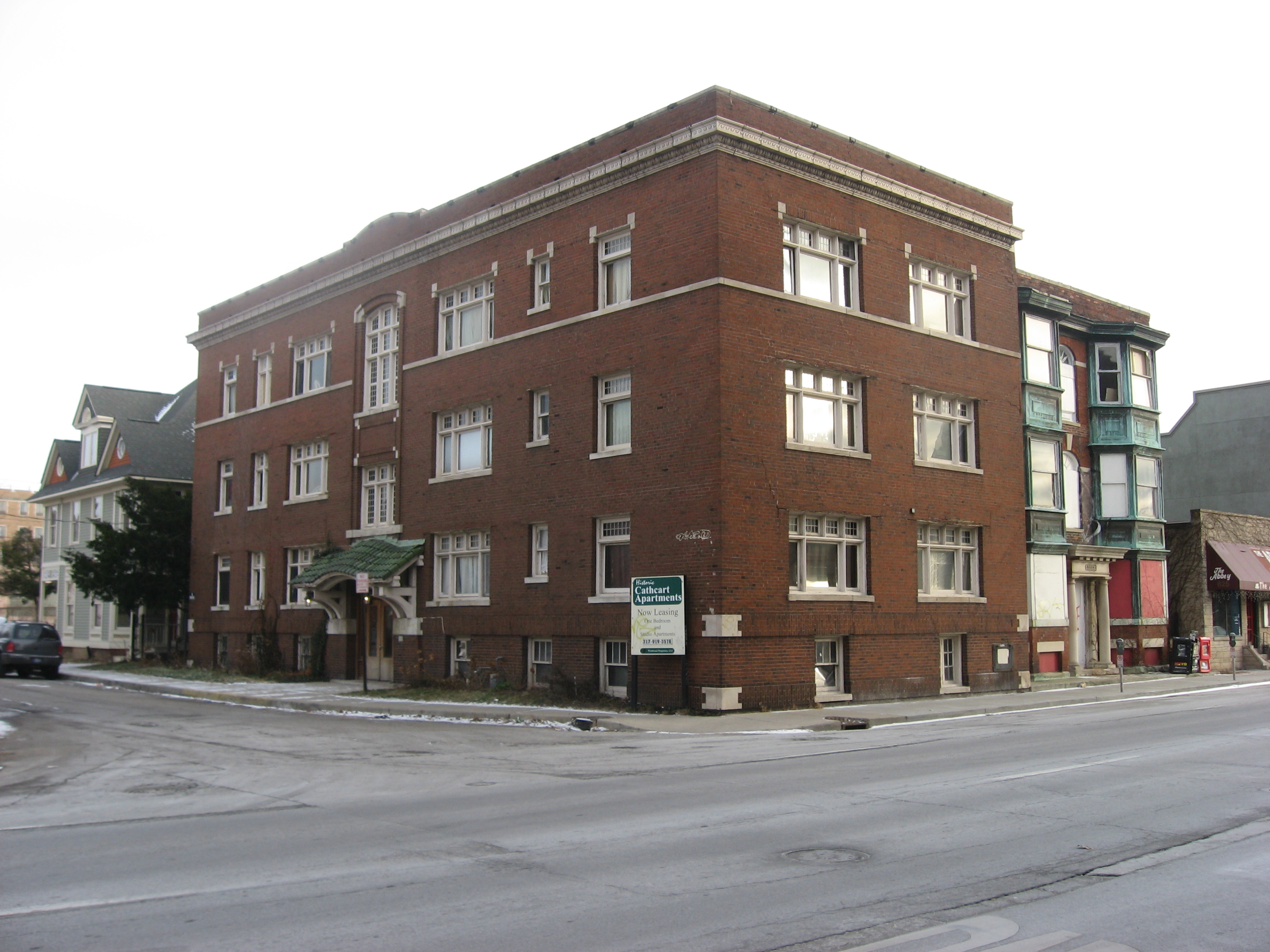
39°47′29″N 86°9′34″W / 39.79139°N 86.15944°W20 The Cathcart 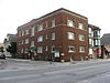
September 15, 1983 103 E. 9th St.
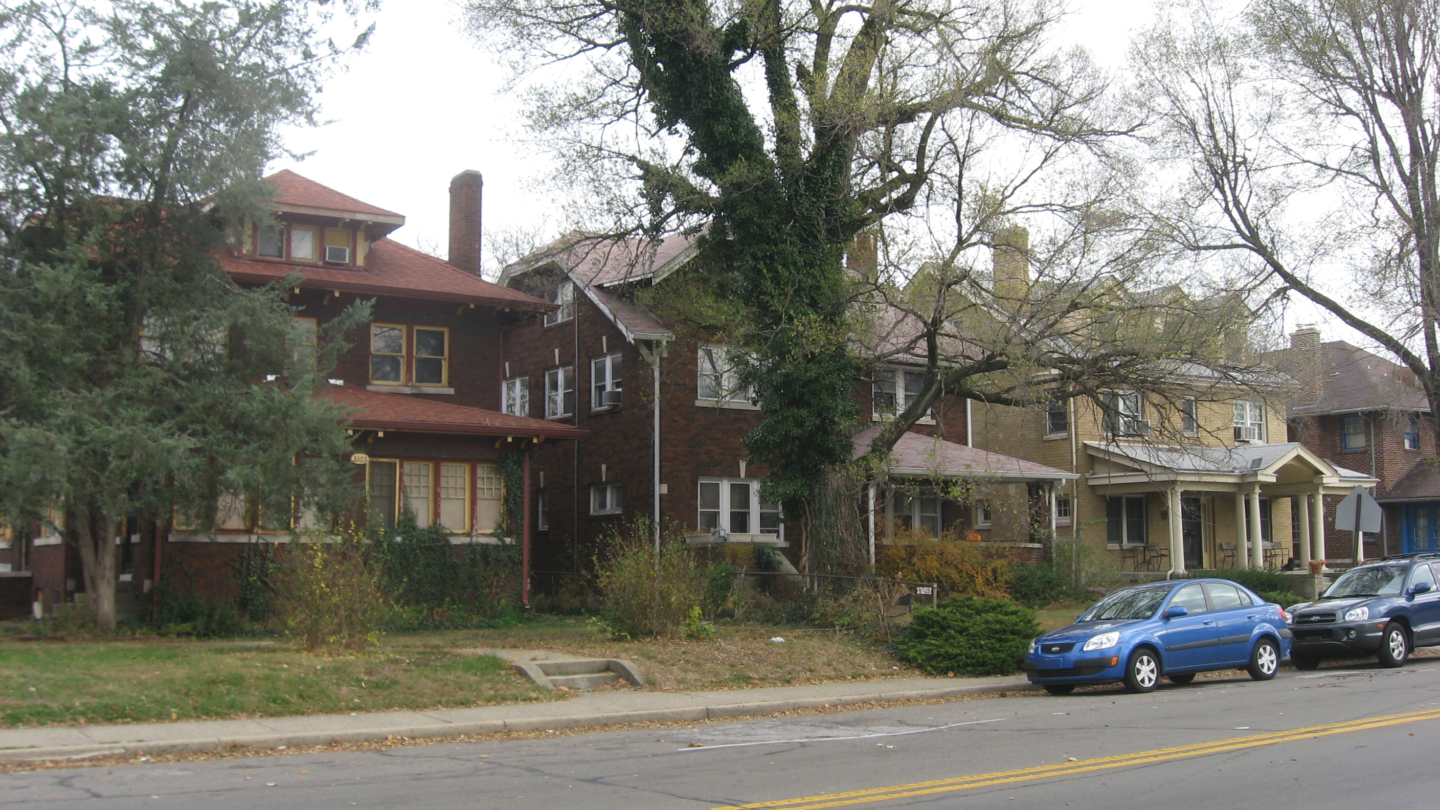
39°46′44″N 86°9′20″W / 39.77889°N 86.15556°W21 Central Court Historic District 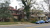
September 29, 2004 3529-3575 Central Ave., 515-551 E. 36th St., and Central Ct.
39°49′20″N 86°8′53″W / 39.82222°N 86.14806°W22 Central Library (Indianapolis-Marion County Public Library) 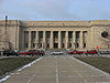
August 28, 1975 40 E. St. Clair St.
39°46′42″N 86°9′24″W / 39.77833°N 86.15667°W23 Chatham-Arch Historic District 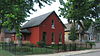
March 13, 1980 Roughly bounded by Interstate 65, College Ave., and 10th, 11th, North, New Jersey, Cleveland, and East Sts.
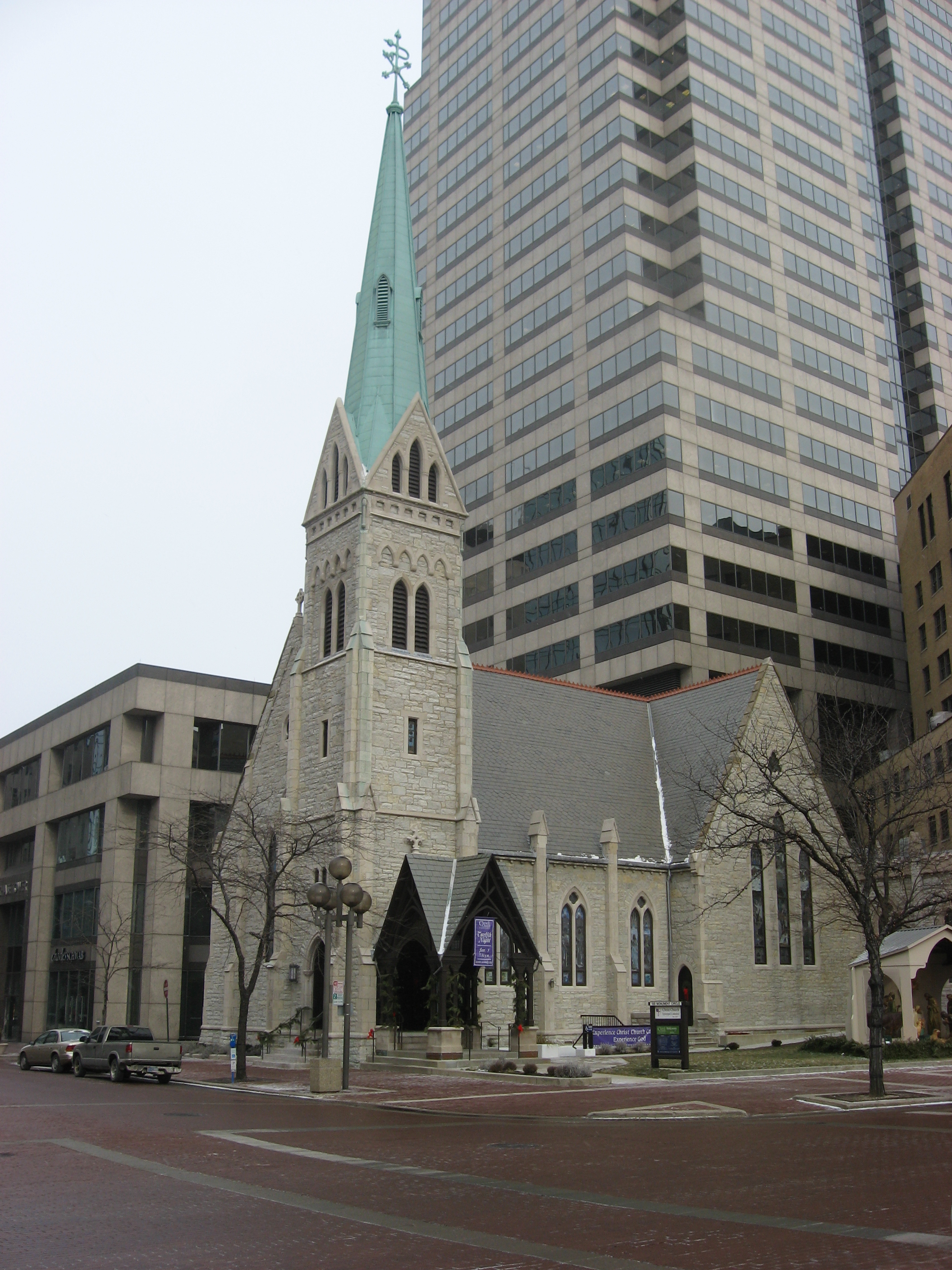
39°46′42″N 86°8′48″W / 39.77833°N 86.14667°W24 Christ Church Cathedral 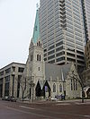
July 10, 1973 131 Monument Circle
39°46′9″N 86°9′27″W / 39.76917°N 86.1575°W25 Christian Park School No. 82 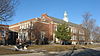
April 28, 1995 4700 English Ave.
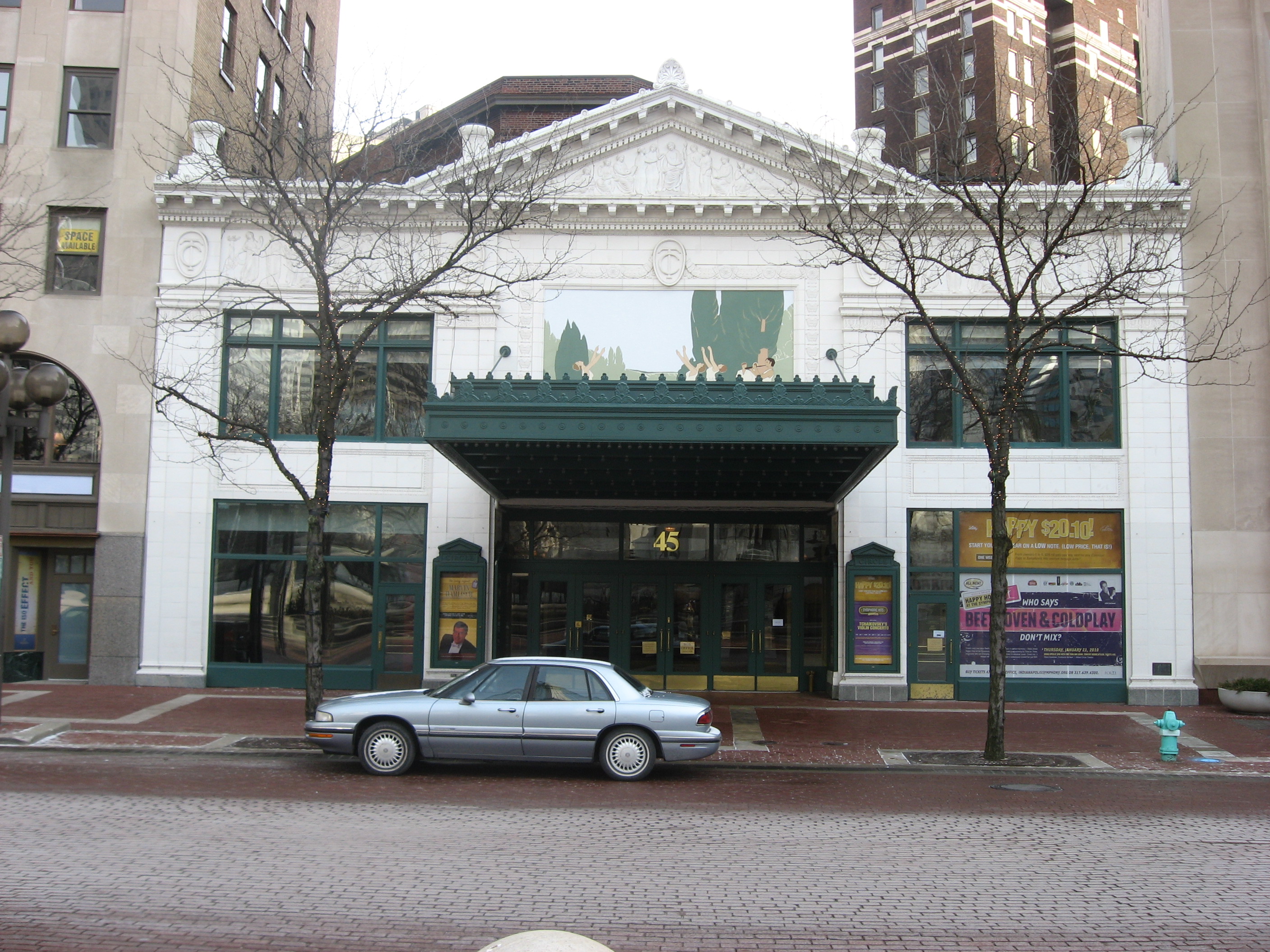
39°45′38″N 86°5′20″W / 39.76056°N 86.08889°W26 Circle Theater 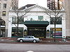
June 16, 1980 45 Monument Circle
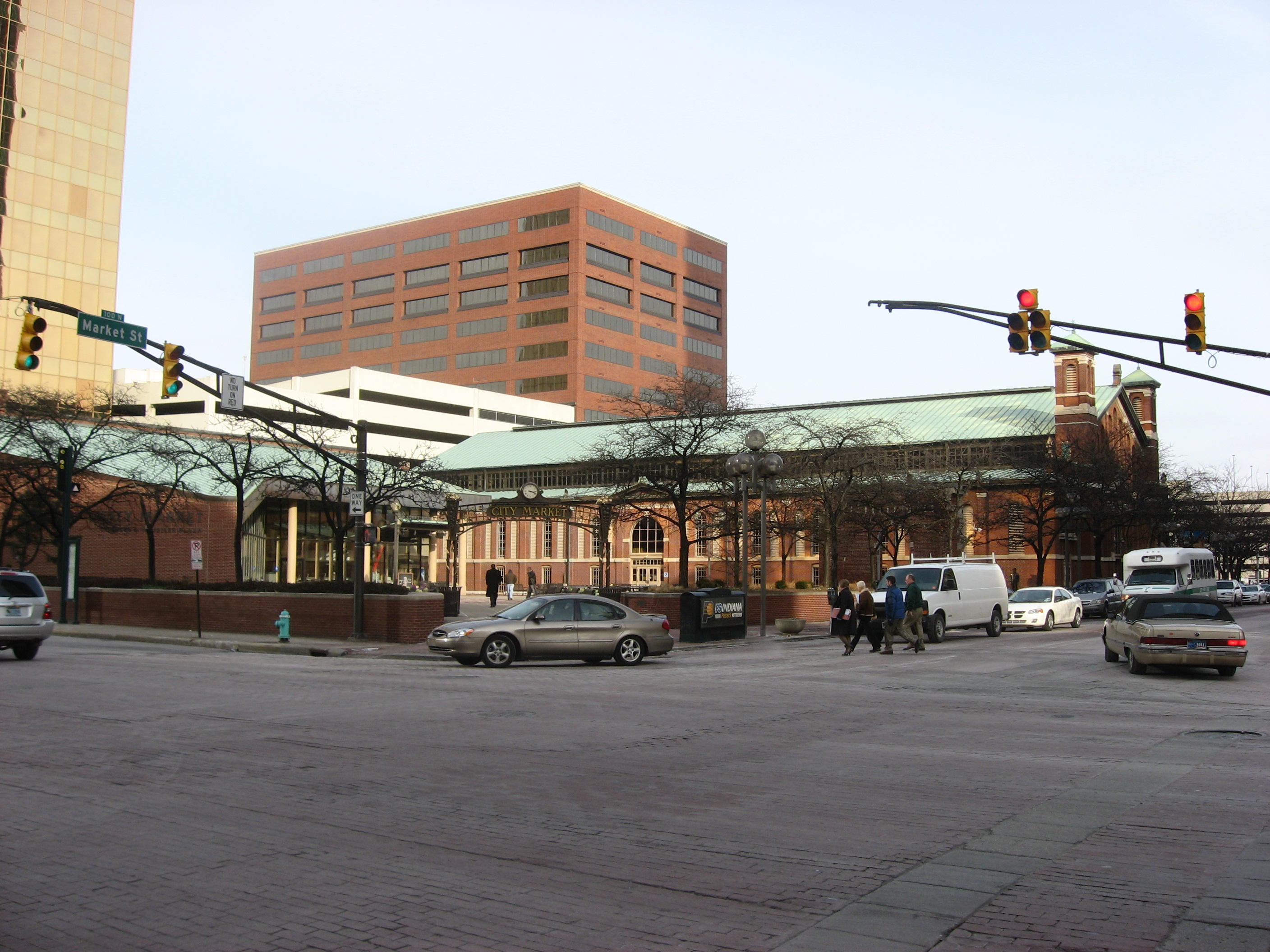
39°46′5″N 86°9′26″W / 39.76806°N 86.15722°W27 City Market 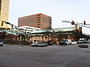
March 27, 1974 222 E. Market St.
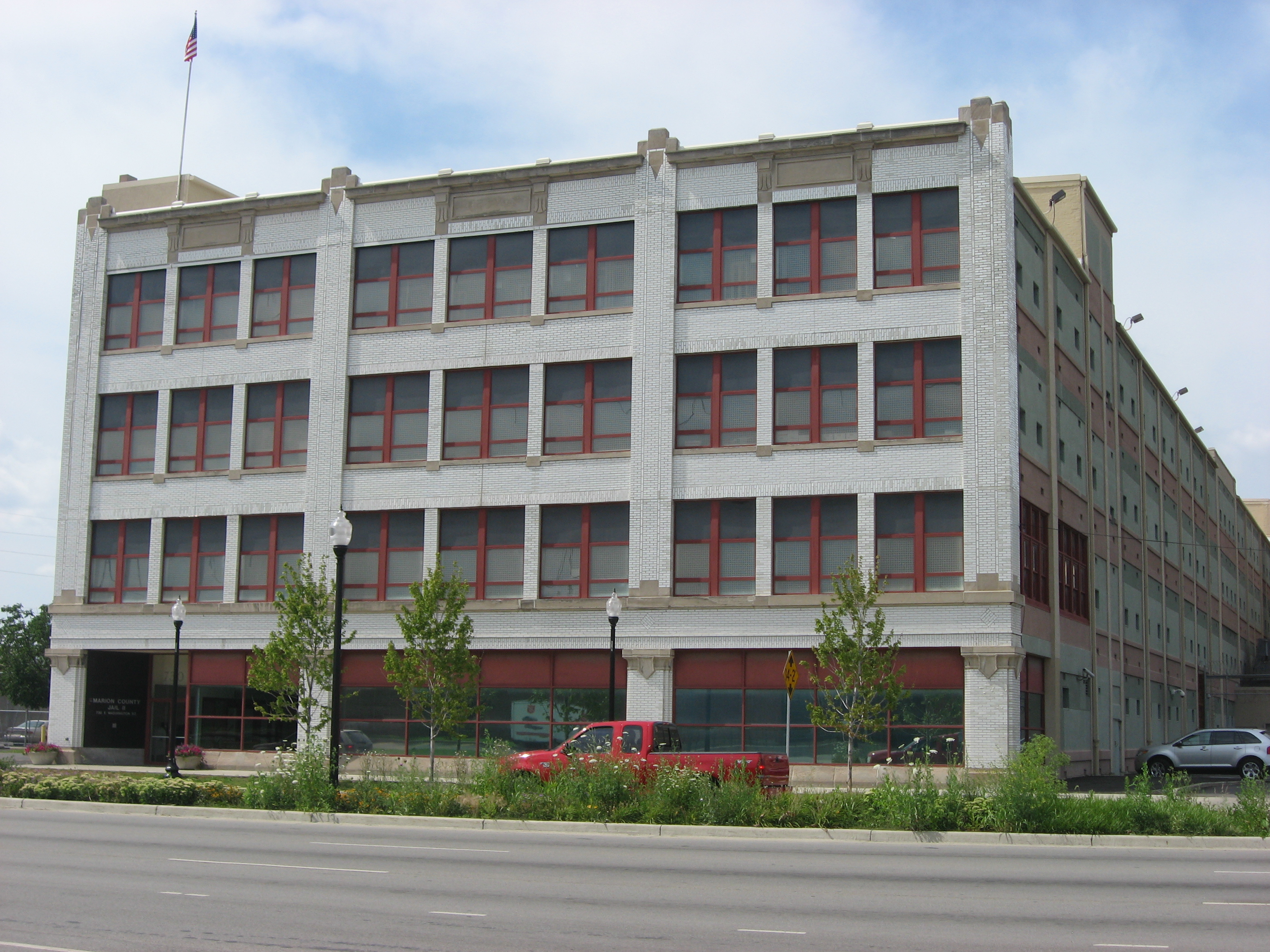
39°46′7″N 86°9′12″W / 39.76861°N 86.15333°W28 Cole Motor Car Company 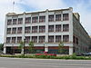
March 3, 1983 730 E. Washington St.
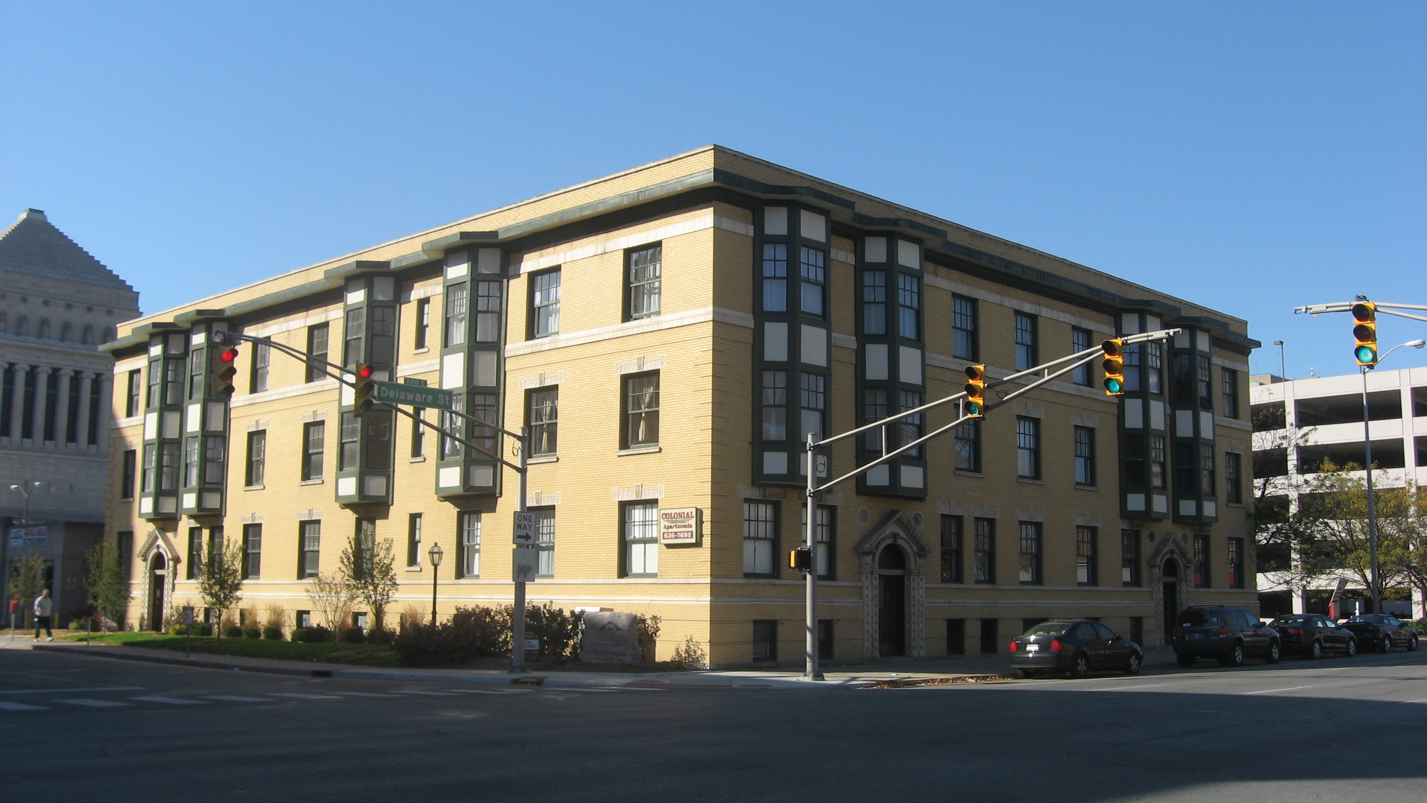
39°46′2″N 86°8′39″W / 39.76722°N 86.14417°W29 The Colonial 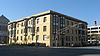
September 15, 1983 126 E. Vermont St. and 402-408 N. Delaware St.
39°46′22″N 86°9′15″W / 39.77278°N 86.15417°W30 Columbia Club 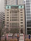
January 27, 1983 121 Monument Circle
39°46′8″N 86°9′26″W / 39.76889°N 86.15722°W31 Cottage Home Historic District 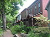
February 23, 1990 Dorman and St. Clair Sts.
39°46′40″N 86°8′17″W / 39.77778°N 86.13806°W32 Coulter Flats 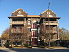
May 31, 1990 2161 N. Meridian St.
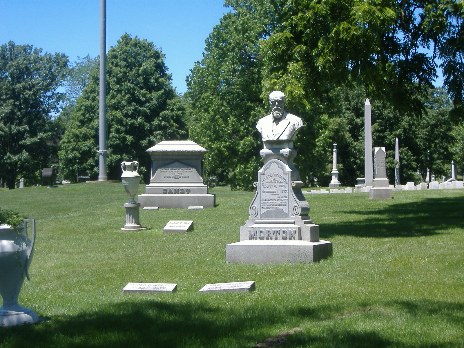
39°47′48″N 86°9′25″W / 39.79667°N 86.15694°W33 Crown Hill Cemetery 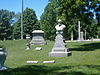
February 28, 1973 Boulevard Pl., W. 32nd St., and Northwestern Ave.
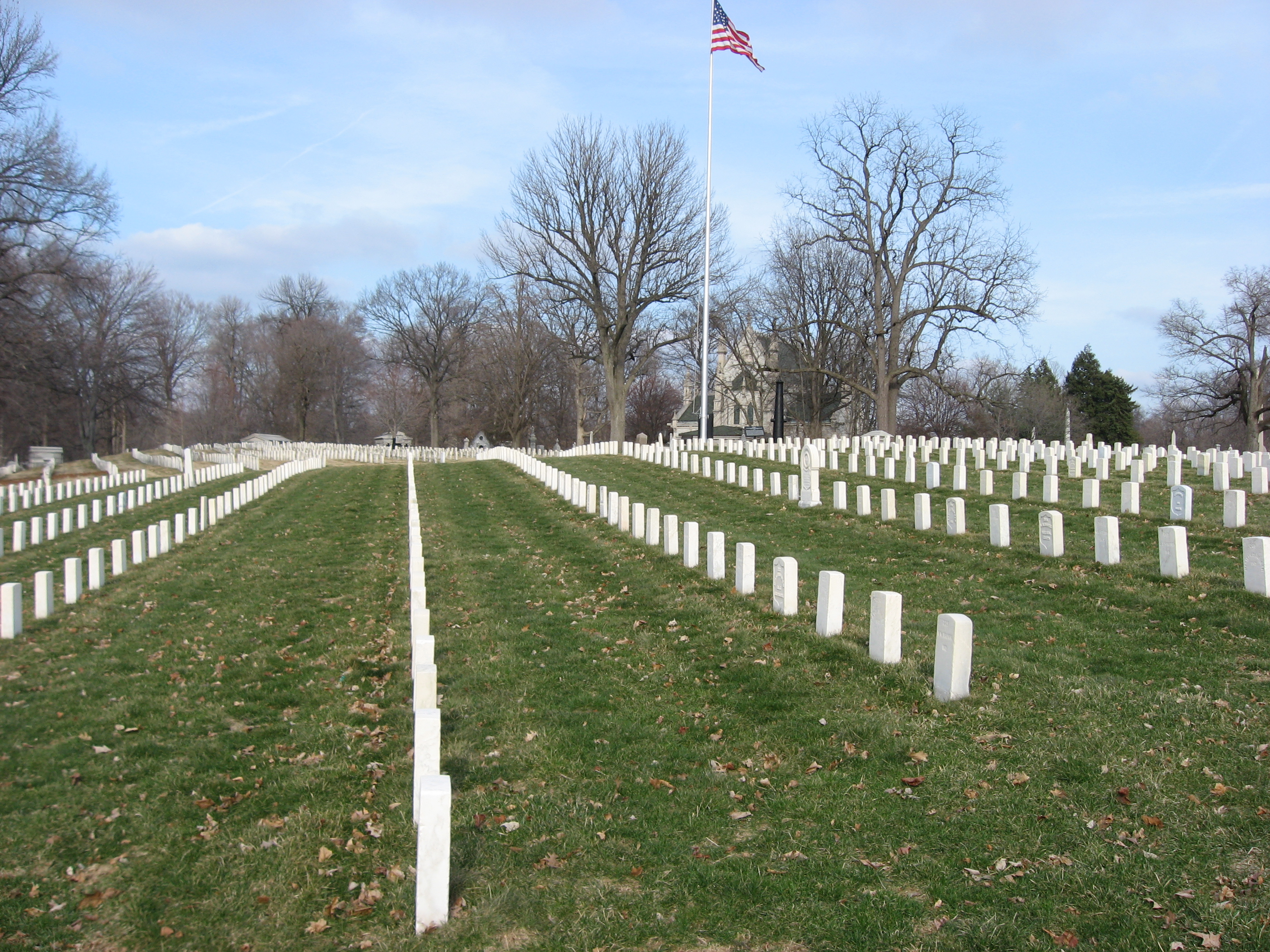
39°49′8″N 86°10′21″W / 39.81889°N 86.1725°W34 Crown Hill National Cemetery 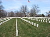
April 29, 1999 700 W. 38th St.
39°49′0″N 86°10′23″W / 39.816667°N 86.17306°W35 The Dartmouth 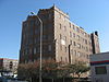
September 15, 1983 221 E. Michigan St.
39°46′29″N 86°9′12″W / 39.77472°N 86.15333°W36 Delaware Court 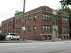
September 15, 1983 1001-1015 N. Delaware St.
39°46′52″N 86°9′13″W / 39.78111°N 86.15361°W37 Delaware Flats 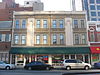
September 15, 1983 120-128 N. Delaware St.
39°46′8″N 86°9′16″W / 39.76889°N 86.15444°W38 The Devonshire 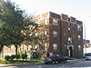
September 15, 1983 412 N. Alabama St.
39°46′24″N 86°9′9″W / 39.77333°N 86.1525°W39 The Emelie 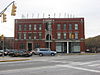
September 15, 1983 326-330 N. Senate Ave. and 301-303 W. Vermont St.
39°46′21″N 86°9′48″W / 39.7725°N 86.16333°W40 Emerson Heights Historic District 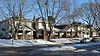
March 10, 2010 Roughly bounded by Emerson Ave., Linwood Ave., and E. 10th and E. Michigan Sts.
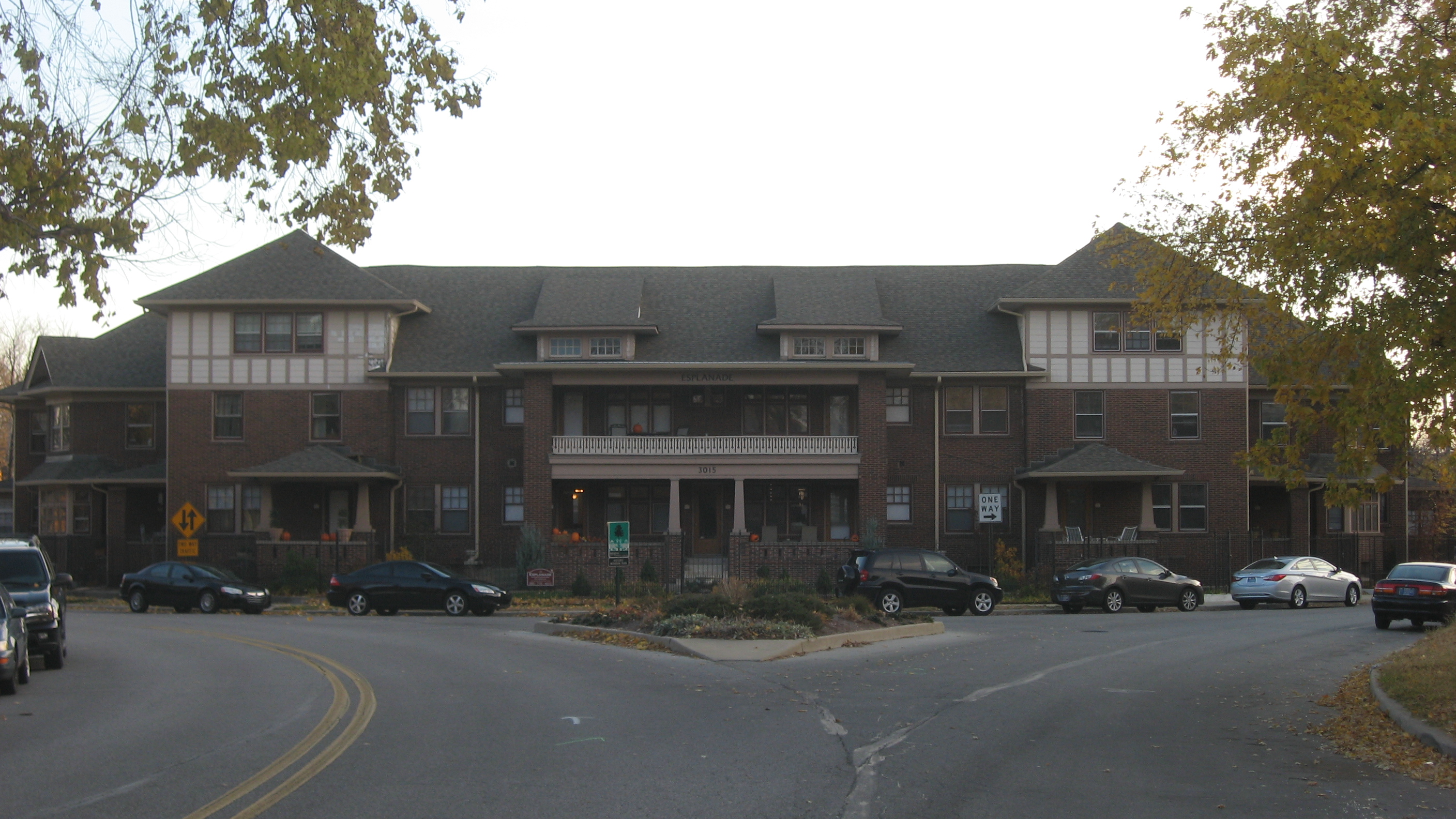
39°46′40.35″N 86°5′17.41″W / 39.777875°N 86.0881694°W41 Esplanade Apartments 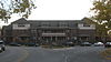
June 16, 1983 3015 N. Pennsylvania St.
39°48′39″N 86°9′16″W / 39.81083°N 86.15444°W42 Fidelity Trust Building 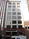
September 27, 1980 148 E. Market St.
39°46′7″N 86°9′17″W / 39.76861°N 86.15472°W43 Flanner House Homes 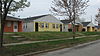
September 28, 2003 Roughly bounded by Dr. Martin Luther King, Jr., Dr., 12th St., Fall Creek Parkway East Dr., and Lynn St.
39°47′4″N 86°10′16″W / 39.78444°N 86.17111°W44 Fletcher Place Historic District 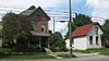
February 1, 1982 Roughly bounded by railroad tracks, Interstates 65/70, East St., and Virginia Ave.
39°45′37″N 86°8′45″W / 39.76028°N 86.14583°W45 Calvin I. Fletcher House 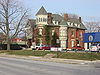
March 1, 1984 1031 N. Pennsylvania St.
39°46′55″N 86°9′19″W / 39.78194°N 86.15528°W46 Benjamin Franklin Public School Number 36 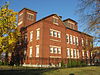
March 26, 2003 2801 N. Capitol Ave.
39°48′32″N 86°9′38″W / 39.80889°N 86.16056°W47 General German Protestant Orphans Home 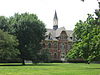
May 17, 1984 1404 S. State St.
39°44′53″N 86°7′54″W / 39.74806°N 86.13167°W48 Gibson Company Building 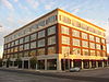
June 17, 2009 433-447 N. Capitol Ave.
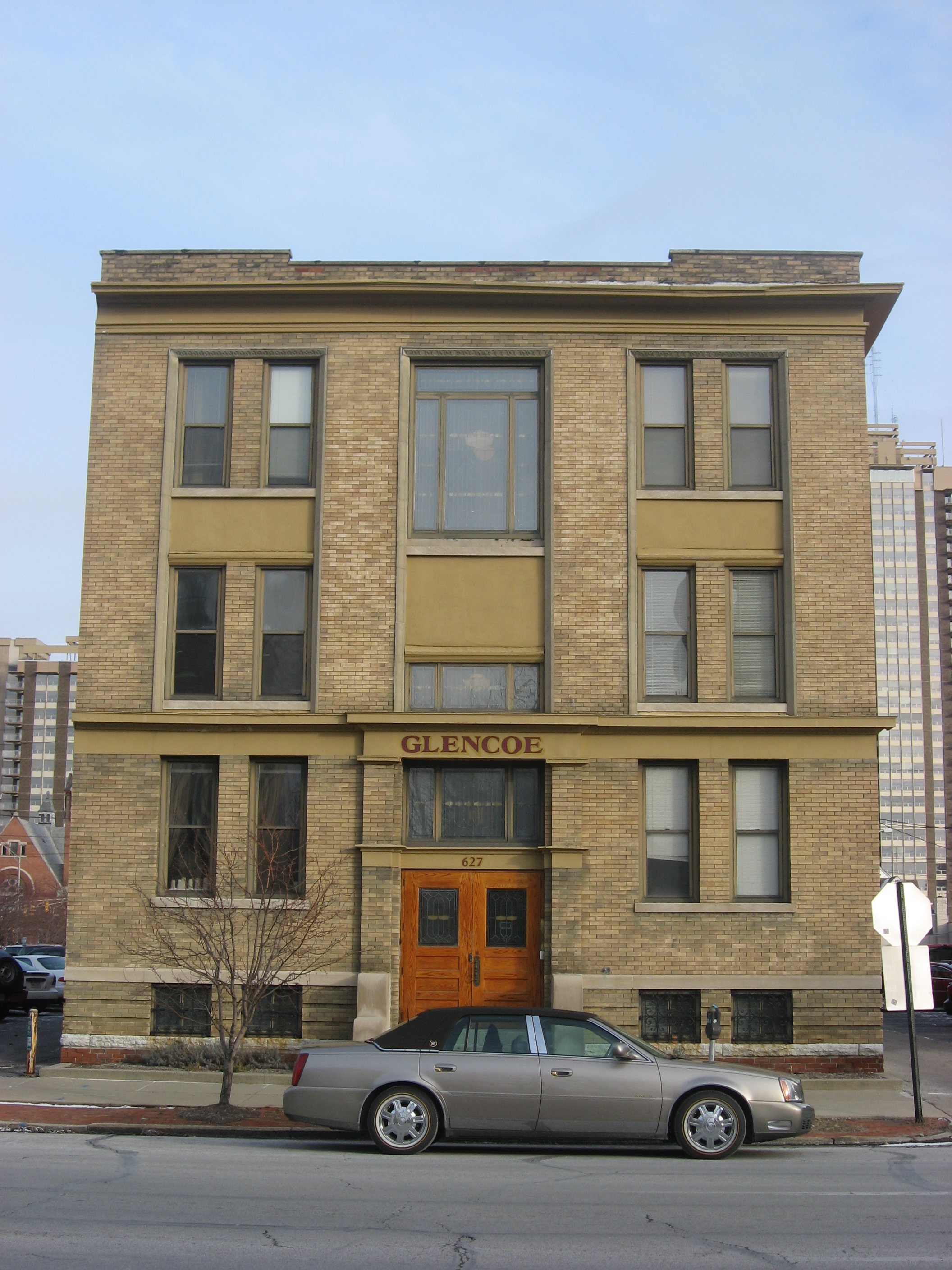
39°46′24.5″N 86°9′37.98″W / 39.773472°N 86.16055°W49 The Glencoe 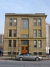
September 15, 1983 627 N. Pennsylvania St.
39°46′35″N 86°9′20″W / 39.77639°N 86.15556°W50 Alfred M. Glossbrenner Mansion 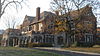
February 19, 1982 3202 N. Meridian St.
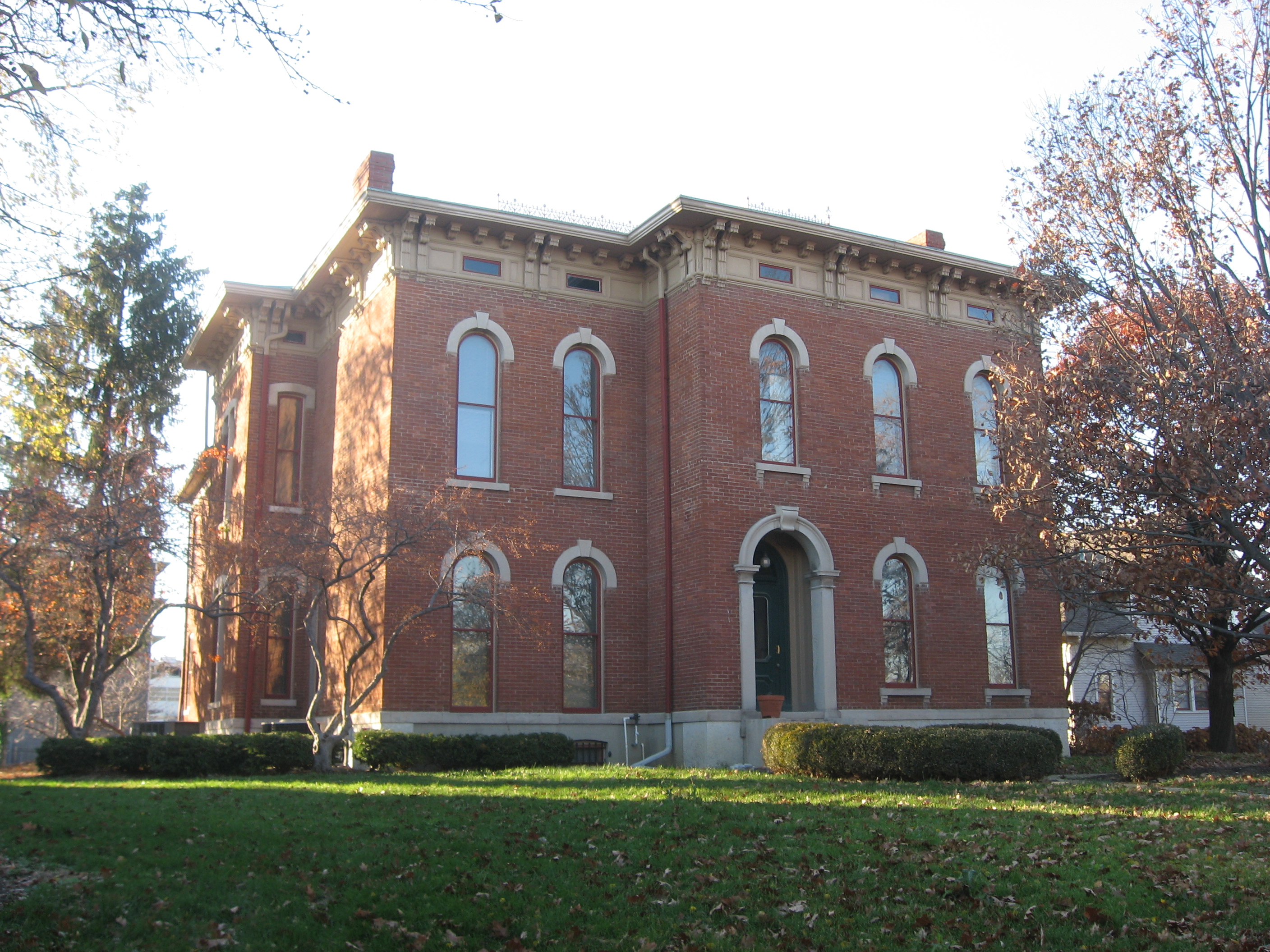
39°48′50″N 86°9′25″W / 39.81389°N 86.15694°W51 Golden Hill Historic District 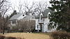
August 29, 1991 Roughly bounded by 36th St., 37th St., Governors Rd., the rear lot lines behind Golden Hill Dr., and Central Canal
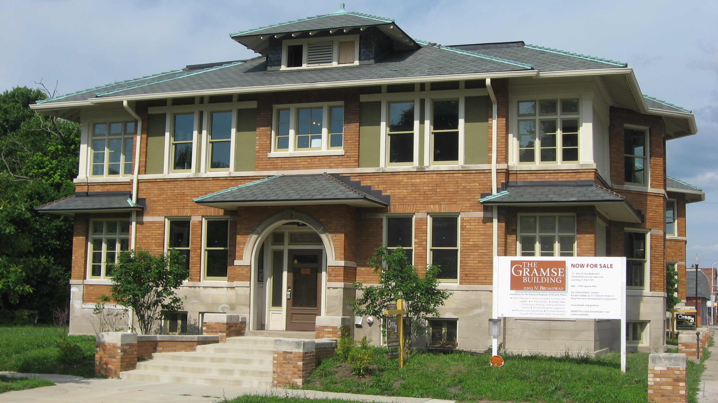
39°49′9″N 86°11′6″W / 39.81917°N 86.185°W52 The Gramse 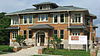
June 23, 2011 2203 N. Broadway St.
39°47′52″N 86°8′46″W / 39.79778°N 86.14611°W53 The Grover 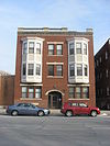
September 15, 1983 615 N. Pennsylvania St.
39°46′34″N 86°9′20″W / 39.77611°N 86.15556°W54 Hammond Block (Budnick's Trading Mart) 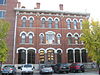
January 9, 1979 301 Massachusetts Ave.
39°46′17″N 86°9′13″W / 39.77139°N 86.15361°W55 Benjamin Harrison House 
October 15, 1966 1204 N. Delaware St.
39°47′2″N 86°9′15″W / 39.78389°N 86.15417°W56 HCS Motor Car Company 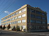
June 17, 2009 1402 N. Capitol Ave.
39°47′11.01″N 86°9′43.26″W / 39.7863917°N 86.1620167°W57 Heier's Hotel 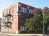
September 22, 1986 10-18 S. New Jersey St.
39°45′59″N 86°9′3″W / 39.76639°N 86.15083°W58 Herron-Morton Place Historic District 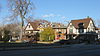
June 16, 1983 Roughly bounded by Central Ave. and 16th, Pennsylvania, and 22nd Sts.
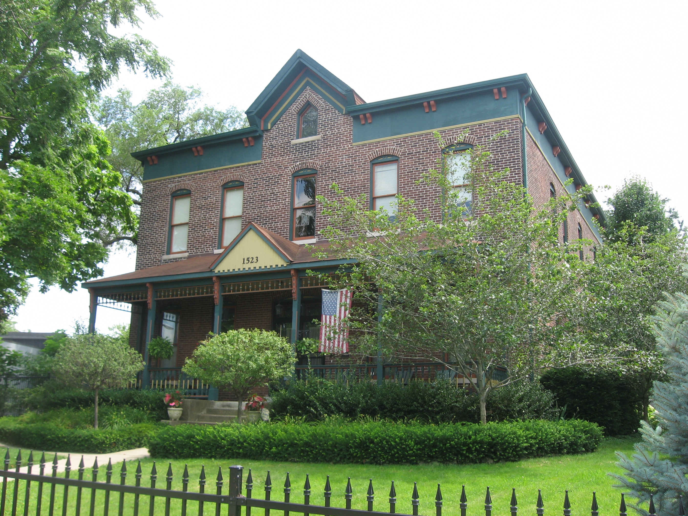
39°47′34″N 86°9′9″W / 39.79278°N 86.1525°W59 John Fitch Hill House 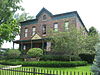
June 22, 2004 1523 Southeastern Ave.
39°45′50.5″N 86°7′57″W / 39.764028°N 86.1325°W60 Holy Rosary-Danish Church Historic District 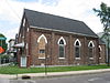
March 13, 1986 Roughly bounded by Virginia Ave., Interstates 65/70, and S. East St.
39°45′23″N 86°8′50″W / 39.75639°N 86.14722°W61 Hotel Washington 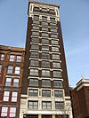
July 17, 1980 32 E. Washington St.
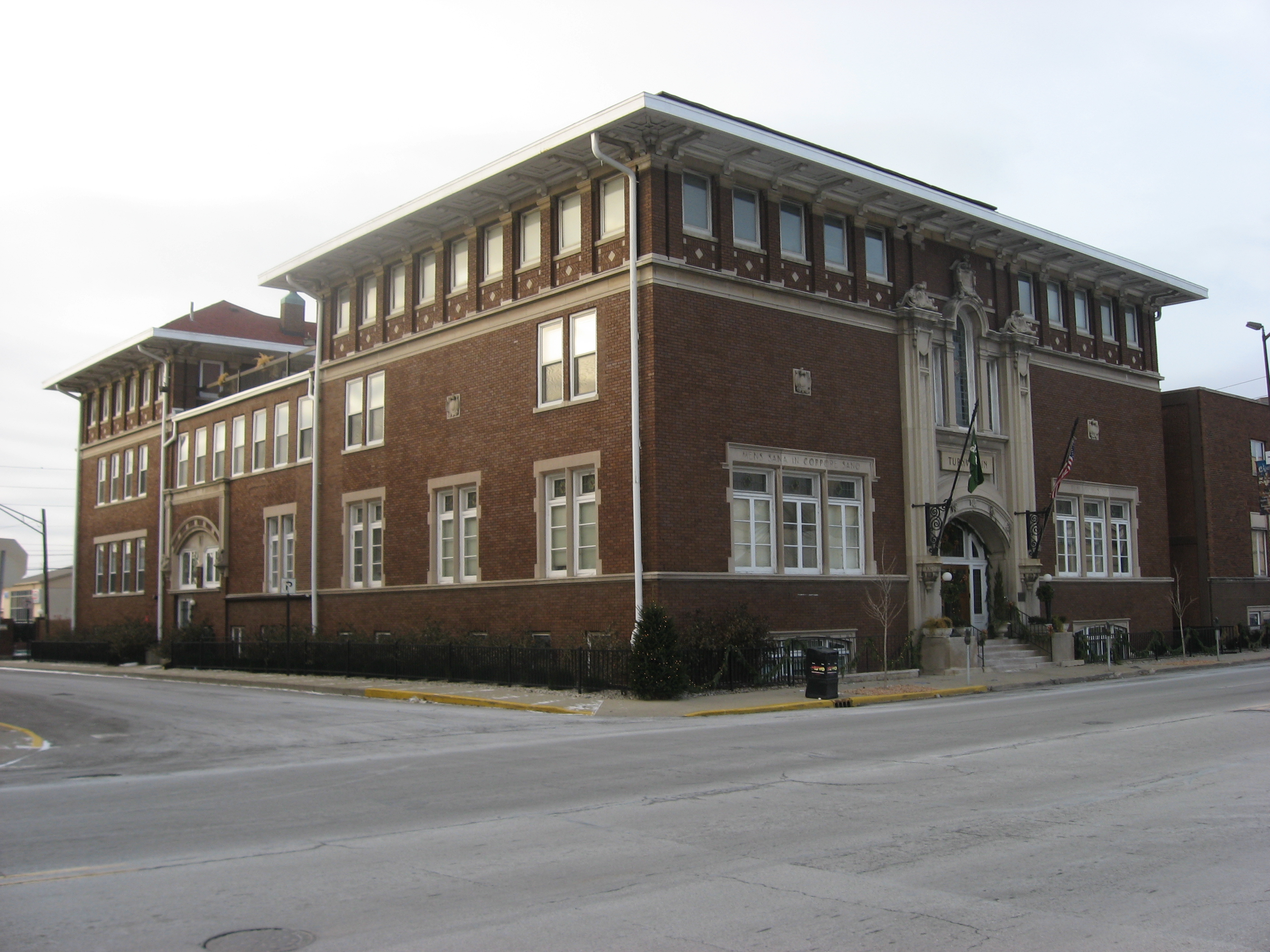
39°46′2″N 86°9′25″W / 39.76722°N 86.15694°W62 Independent Turnverein 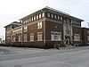
December 22, 1983 902 N. Meridan St.
39°46′45″N 86°9′28″W / 39.77917°N 86.15778°W63 Indiana Avenue Historic District 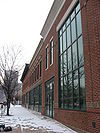
June 12, 1987 500 block of Indiana Ave. between North St., Central Canal, Michigan, and West Sts.
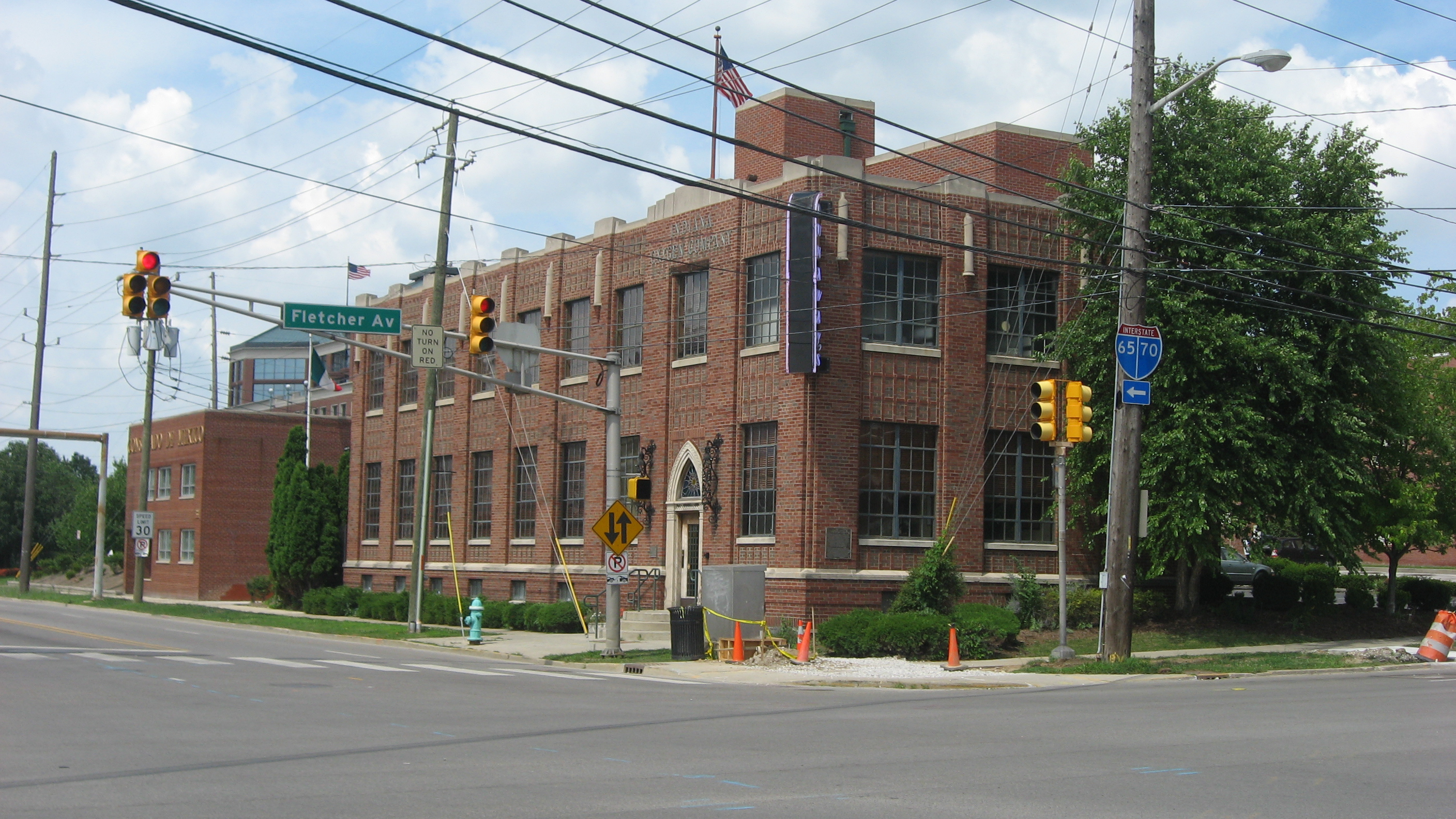
39°46′29″N 86°9′57″W / 39.77472°N 86.16583°W64 Indiana Oxygen Company 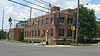
March 26, 1987 351 S. East St.
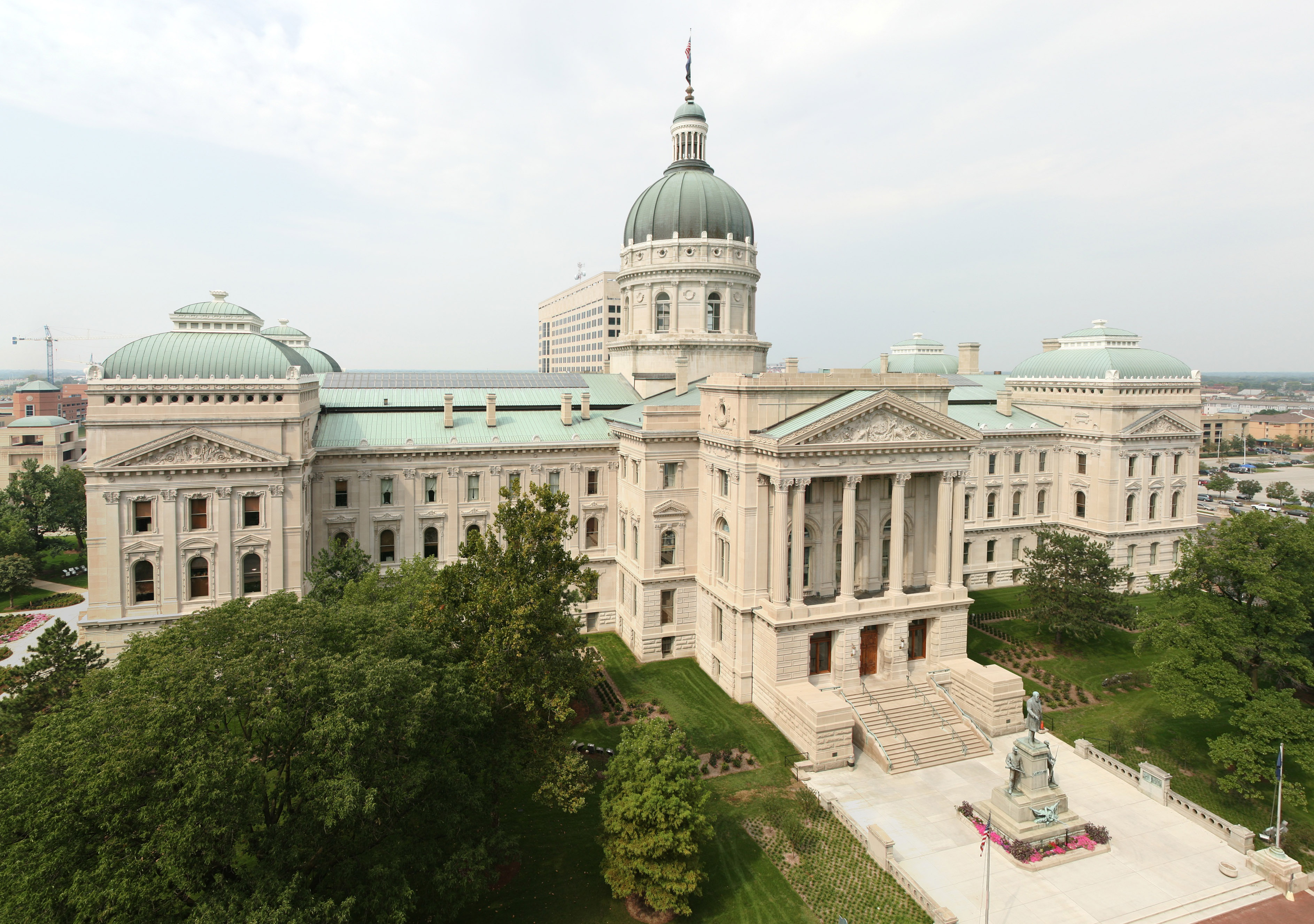
39°45′41″N 86°8′56″W / 39.76139°N 86.14889°W65 Indiana State Capitol 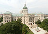
August 28, 1975 W. Washington St.
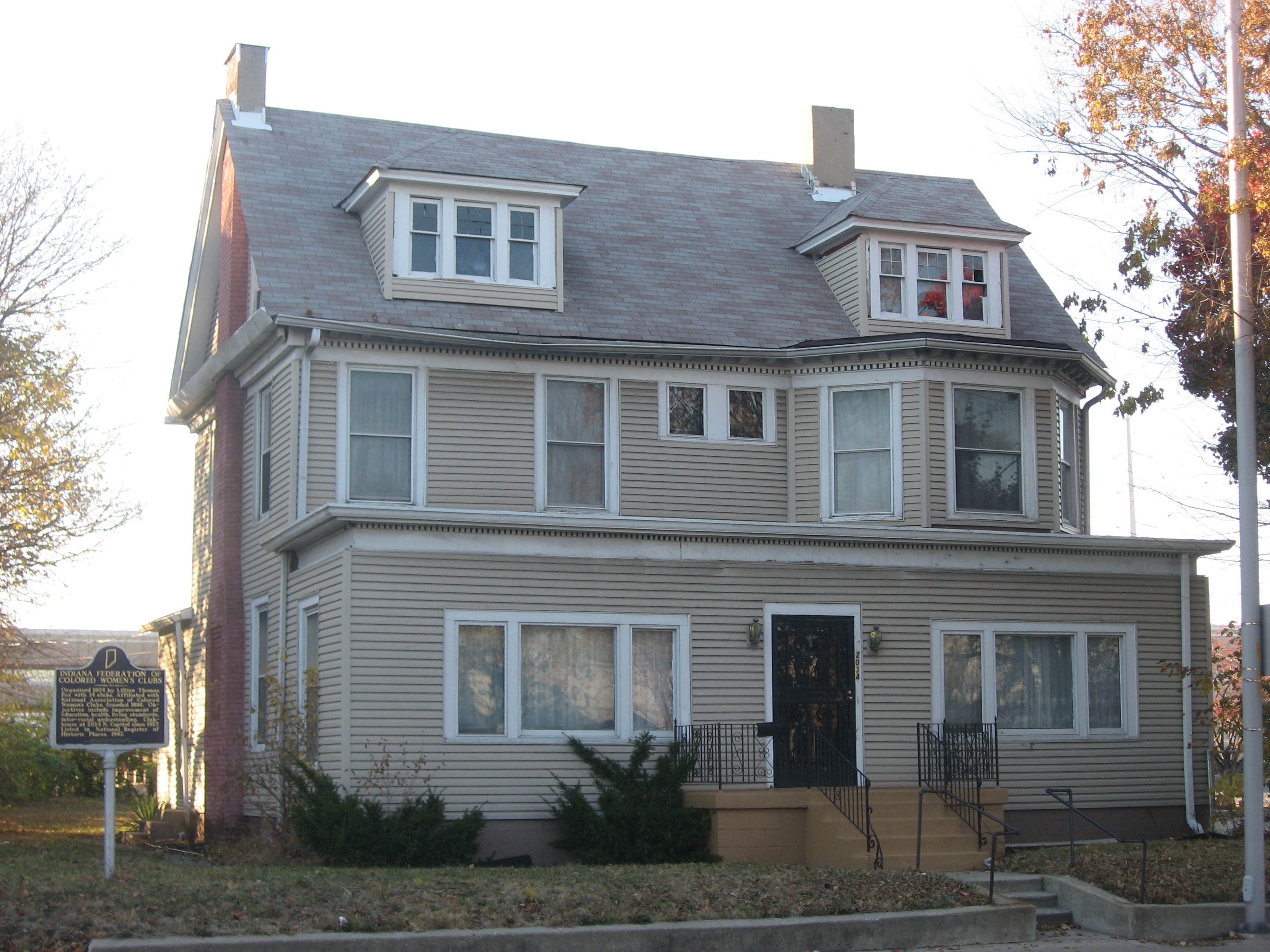
39°46′7″N 86°9′45″W / 39.76861°N 86.1625°W66 Indiana State Federation of Colored Women's Clubs 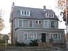
April 7, 1987 2034 N. Capitol Ave.
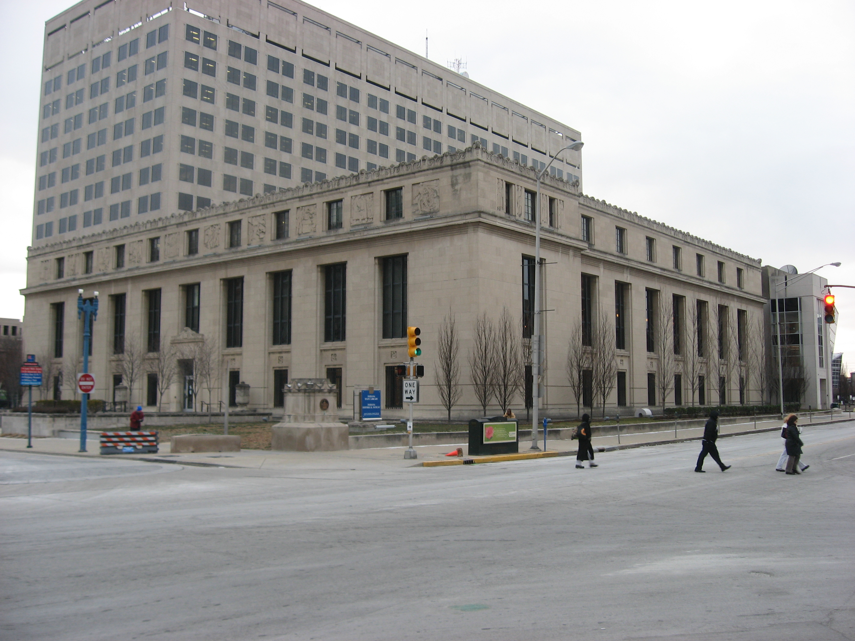
39°47′37″N 86°9′42″W / 39.79361°N 86.16167°W67 Indiana State Library and Historical Building 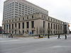
March 3, 1995 140 N. Senate Ave.
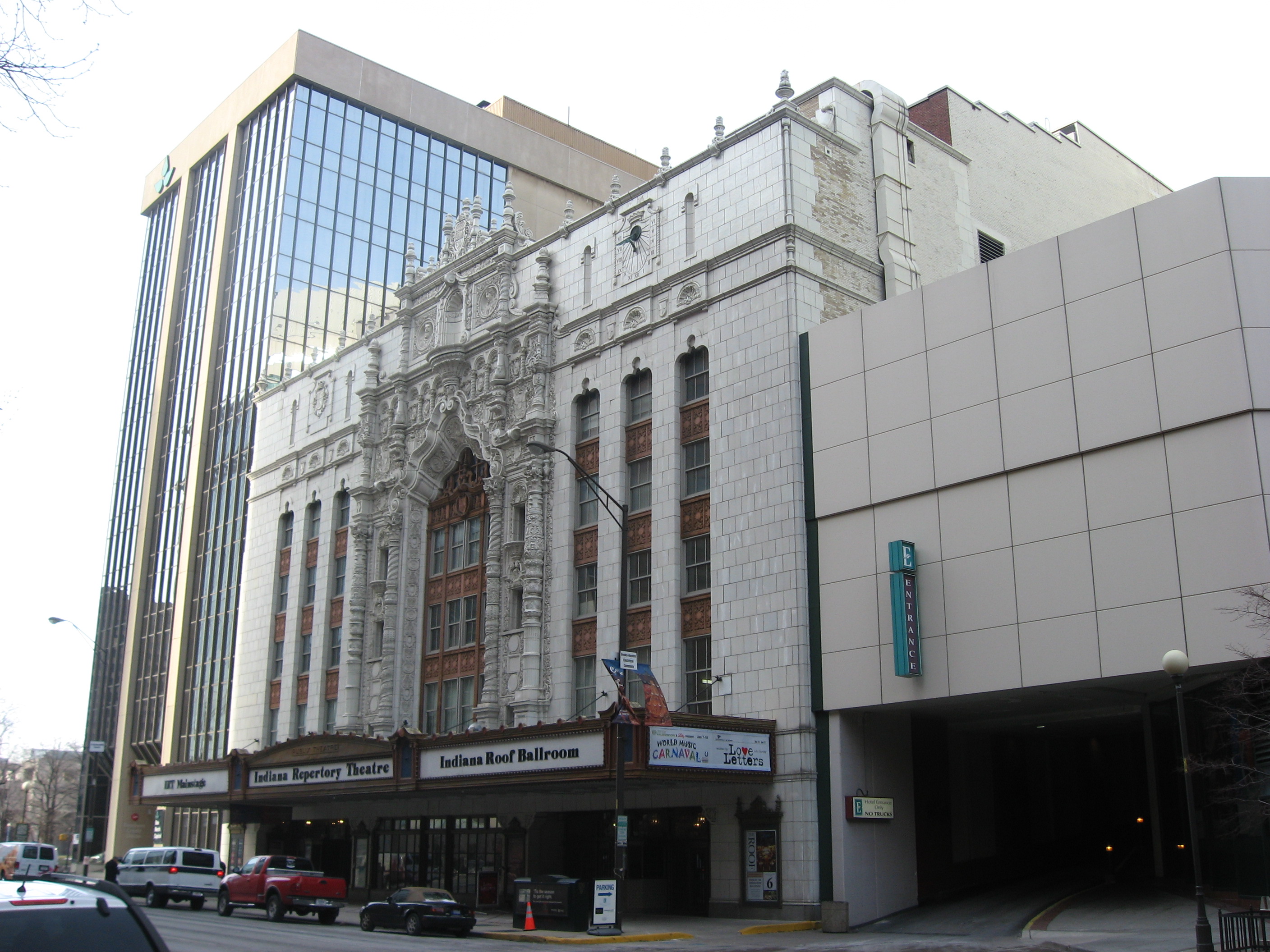
39°46′11″N 86°9′50″W / 39.76972°N 86.16389°W68 Indiana Theatre 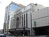
January 29, 1979 134 W. Washington St.
39°46′2″N 86°9′39″W / 39.76722°N 86.16083°W69 Indiana World War Memorial Plaza 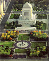
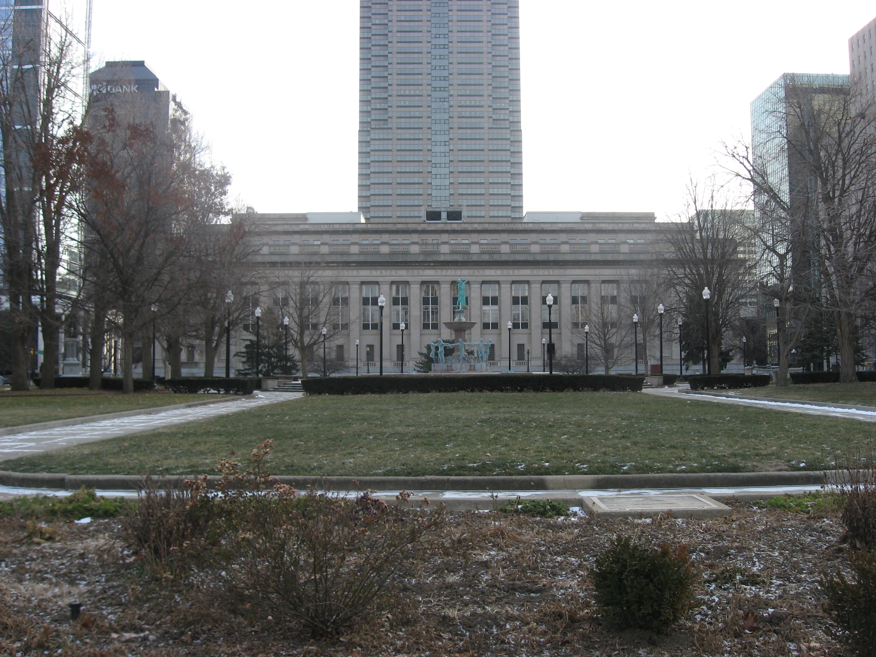
September 25, 1989 Bounded by St. Clair, Pennsylvania, Vermont, and Meridian Sts.
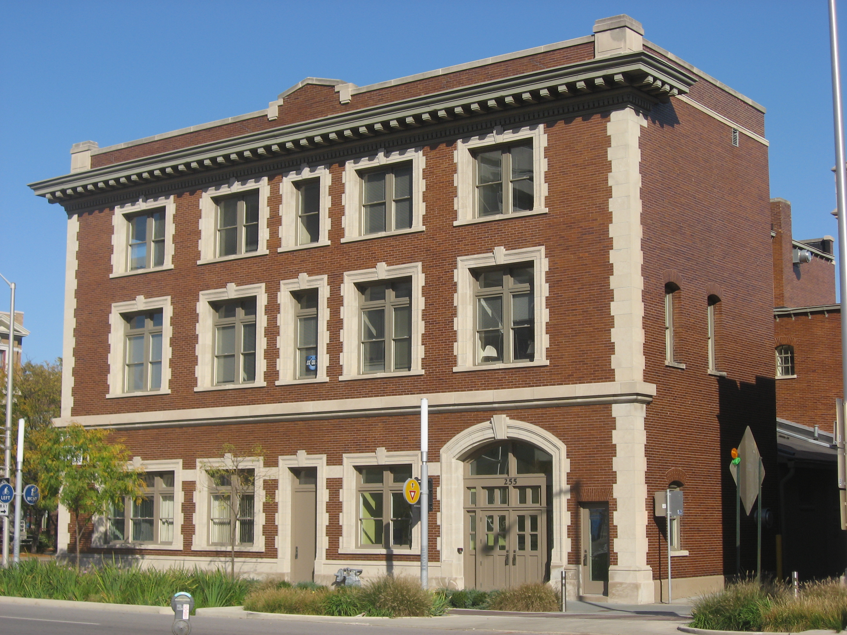
39°46′30″N 86°9′24″W / 39.775°N 86.15667°W70 Indianapolis Fire Headquarters and Municipal Garage 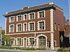
June 27, 2002 301 E. New York St. and 235 N. Alabama St.
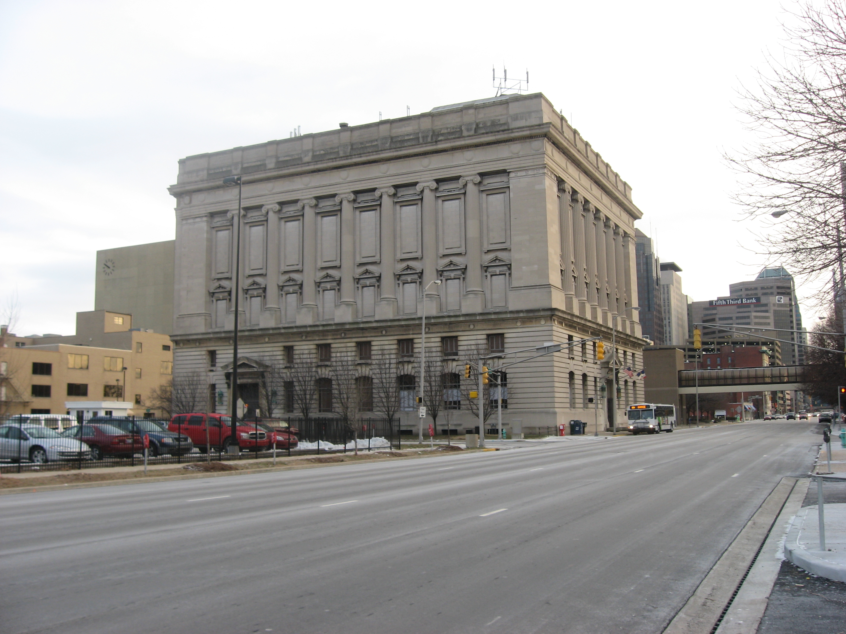
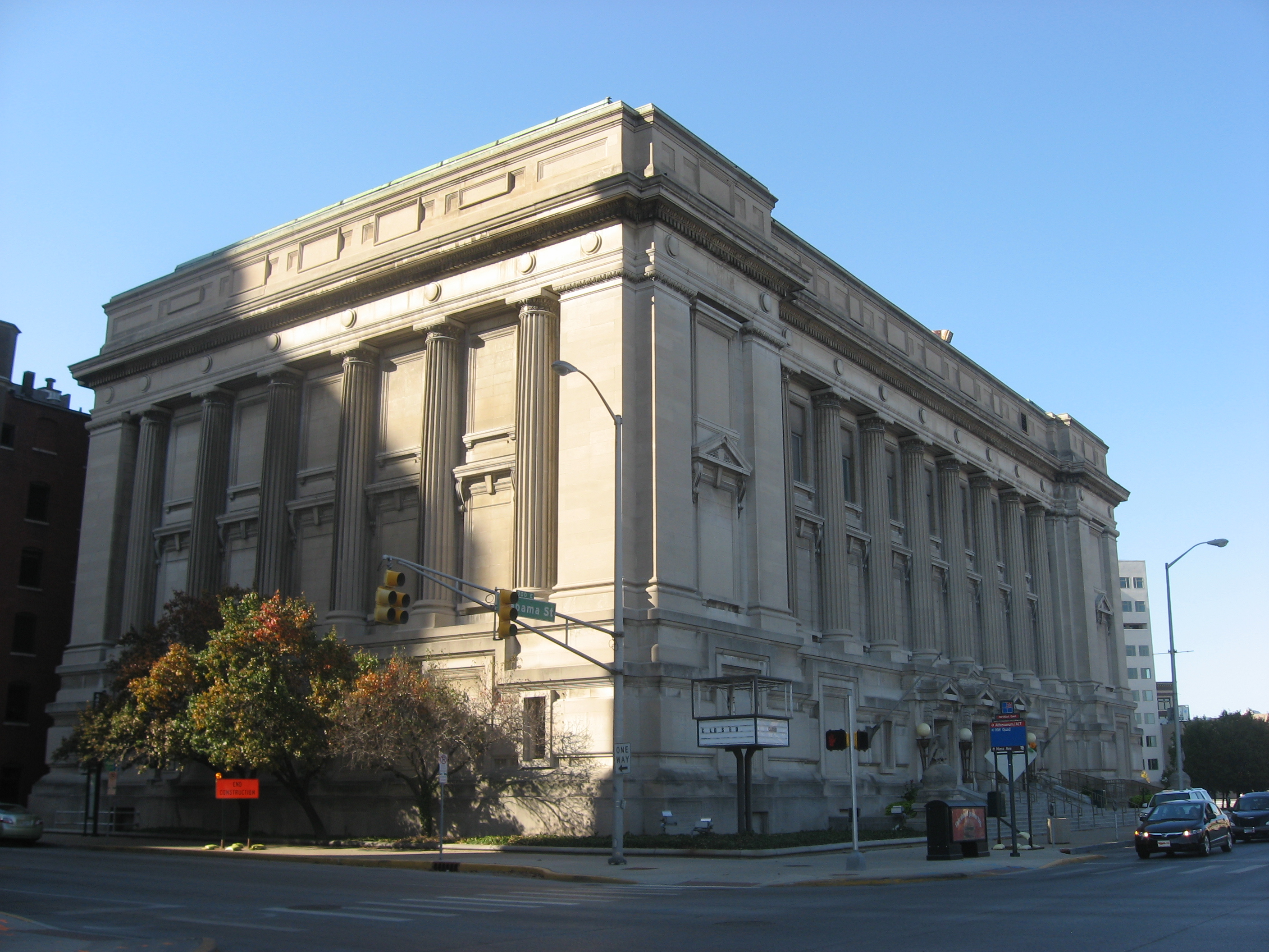
39°46′14″N 86°9′8″W / 39.77056°N 86.15222°W71 Indianapolis Masonic Temple 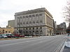
March 19, 2008 525 N. Illinois Ave.
39°46′38″N 86°9′33″W / 39.77722°N 86.15917°W72 Indianapolis News Building 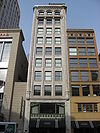
March 7, 1984 30 W. Washington St.
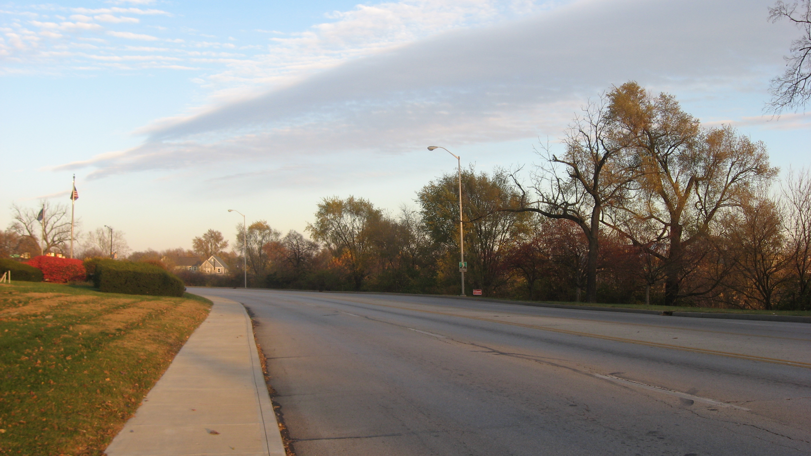
39°46′2″N 86°9′33″W / 39.76722°N 86.15917°W73 Indianapolis Park and Boulevard System 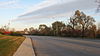
March 28, 2003 Roughly bounded by 38th St., Emerson, Southern and Tibbs Aves., extending along Fall Creek and Pleasant Run Parkways to Shadeland
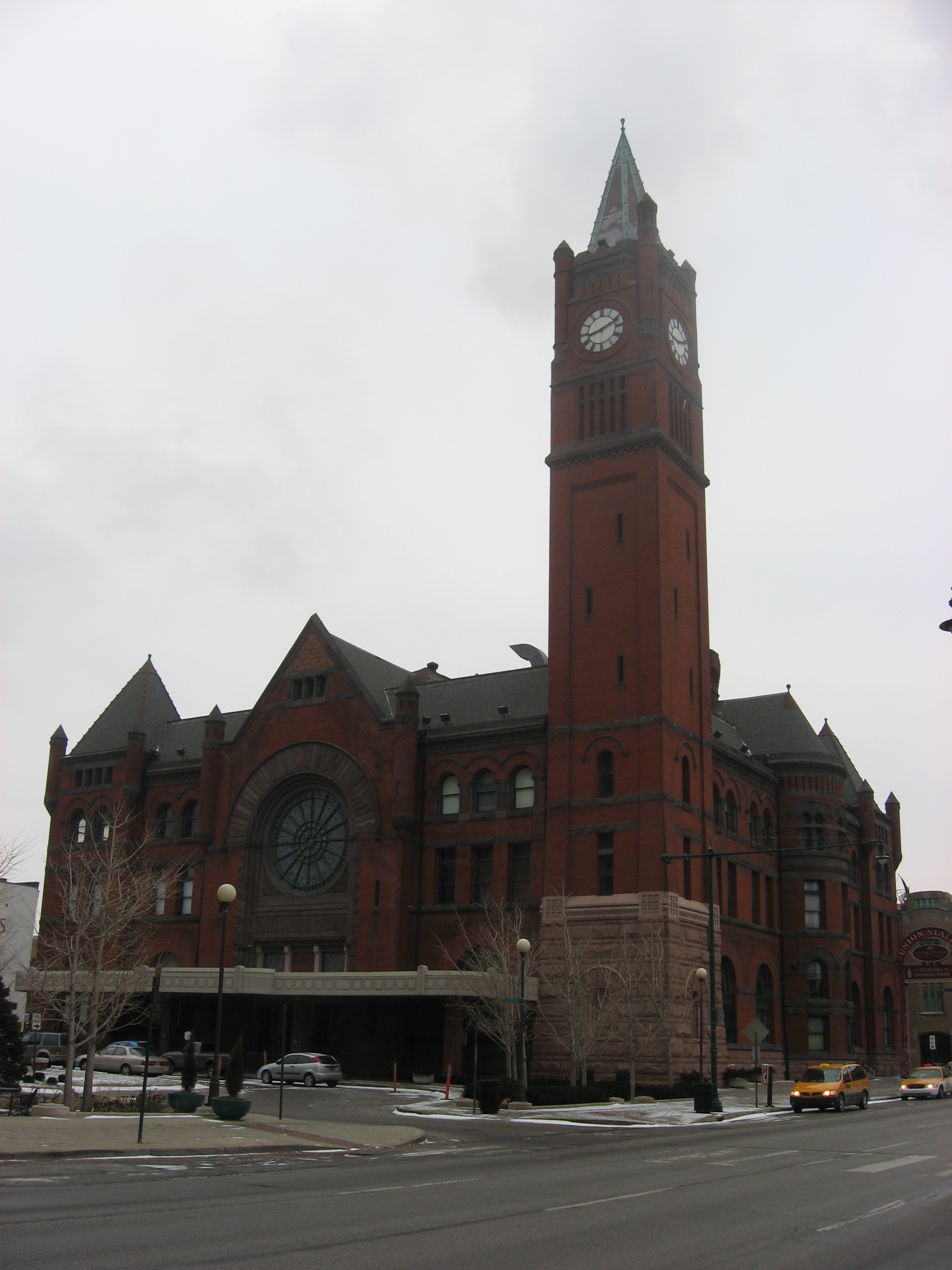
39°47′25″N 86°8′38″W / 39.79028°N 86.14389°WExtends into Lawrence, Warren, and Washington townships, elsewhere in Marion County 74 Indianapolis Union Railroad Station 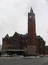
July 19, 1974 39 Jackson Pl.
39°45′47″N 86°9′34″W / 39.76306°N 86.15944°W75 Indianapolis Union Station-Wholesale District 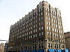
July 14, 1982 Roughly bounded by Capitol Ave. and Maryland, Delaware, and South Sts.
39°45′51″N 86°9′30″W / 39.76417°N 86.15833°W76 Indianapolis White Castle Number 3 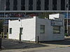
June 23, 2011 660 Fort Wayne Ave.
39°46′35.7″N 86°9′16.5″W / 39.776583°N 86.154583°W77 Charles Kuhn House 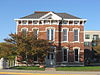
April 13, 1989 340 W. Michigan St.
39°46′27″N 86°9′52″W / 39.77417°N 86.16444°W78 Laurel and Prospect District 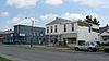
June 30, 1983 1335 to 1419 E. Prospect St.
39°45′8″N 86°8′7″W / 39.75222°N 86.13528°W79 Louis Levey Mansion 
December 22, 1978 2902 N. Meridian St.
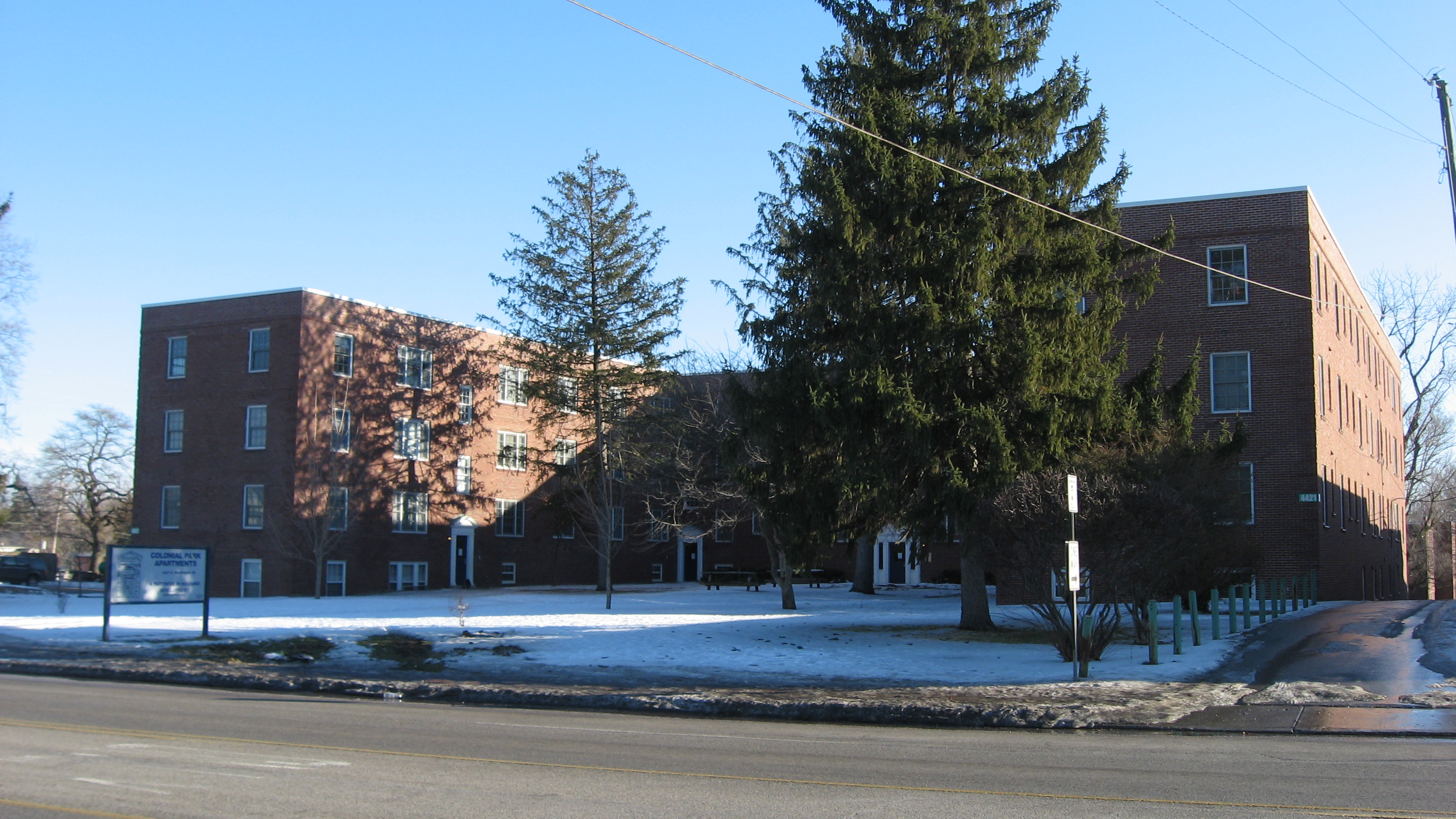
39°48′30″N 86°9′24″W / 39.80833°N 86.15667°W80 Linwood Colonial Apartments 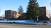
April 19, 2006 4421 E. Washington St. and 55 and 56 S. Linwood Ave.
39°46′14″N 86°5′34″W / 39.77056°N 86.09278°W81 Lockefield Garden Apartments 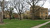
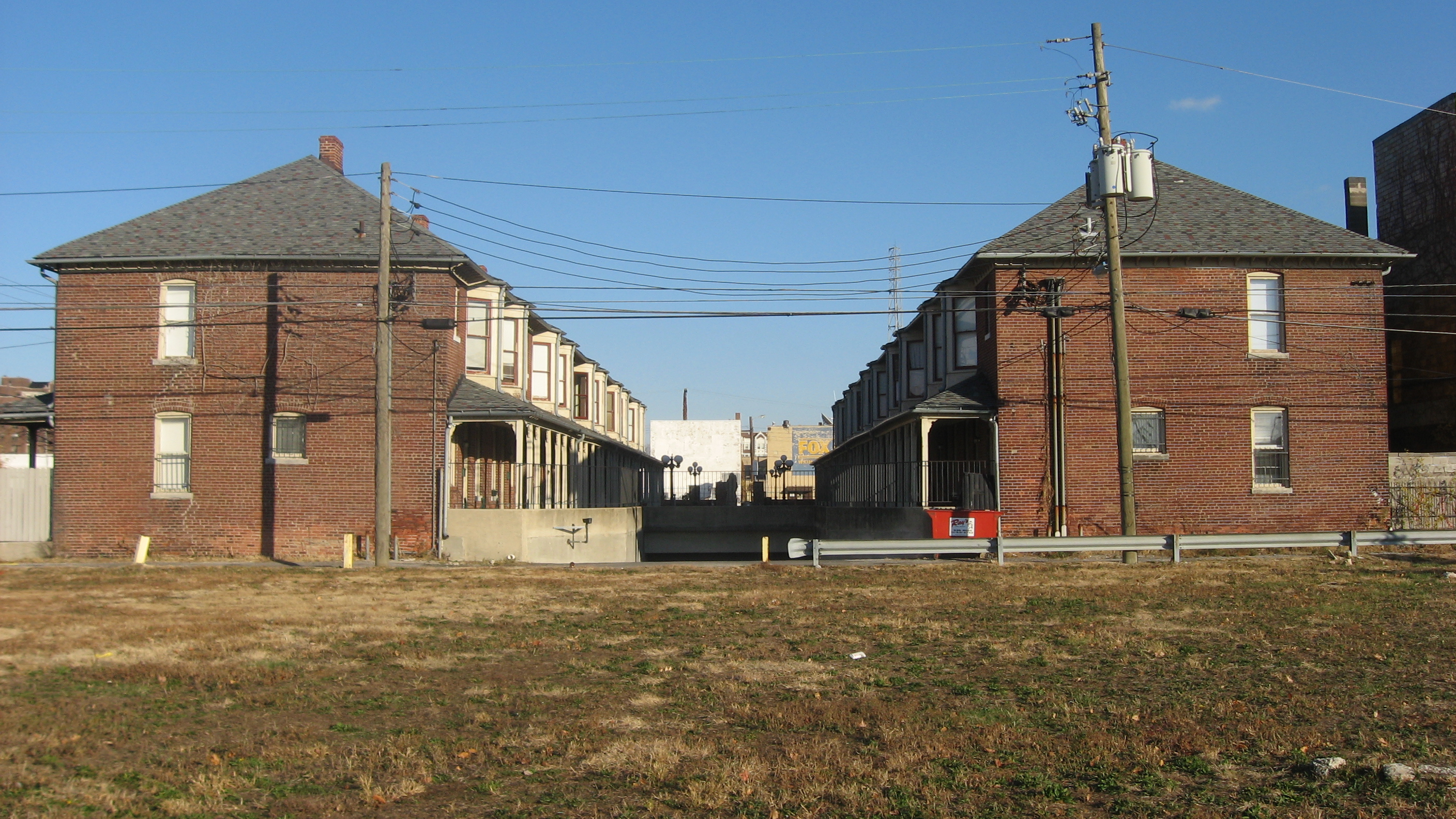
February 28, 1983 900 Indiana Ave.
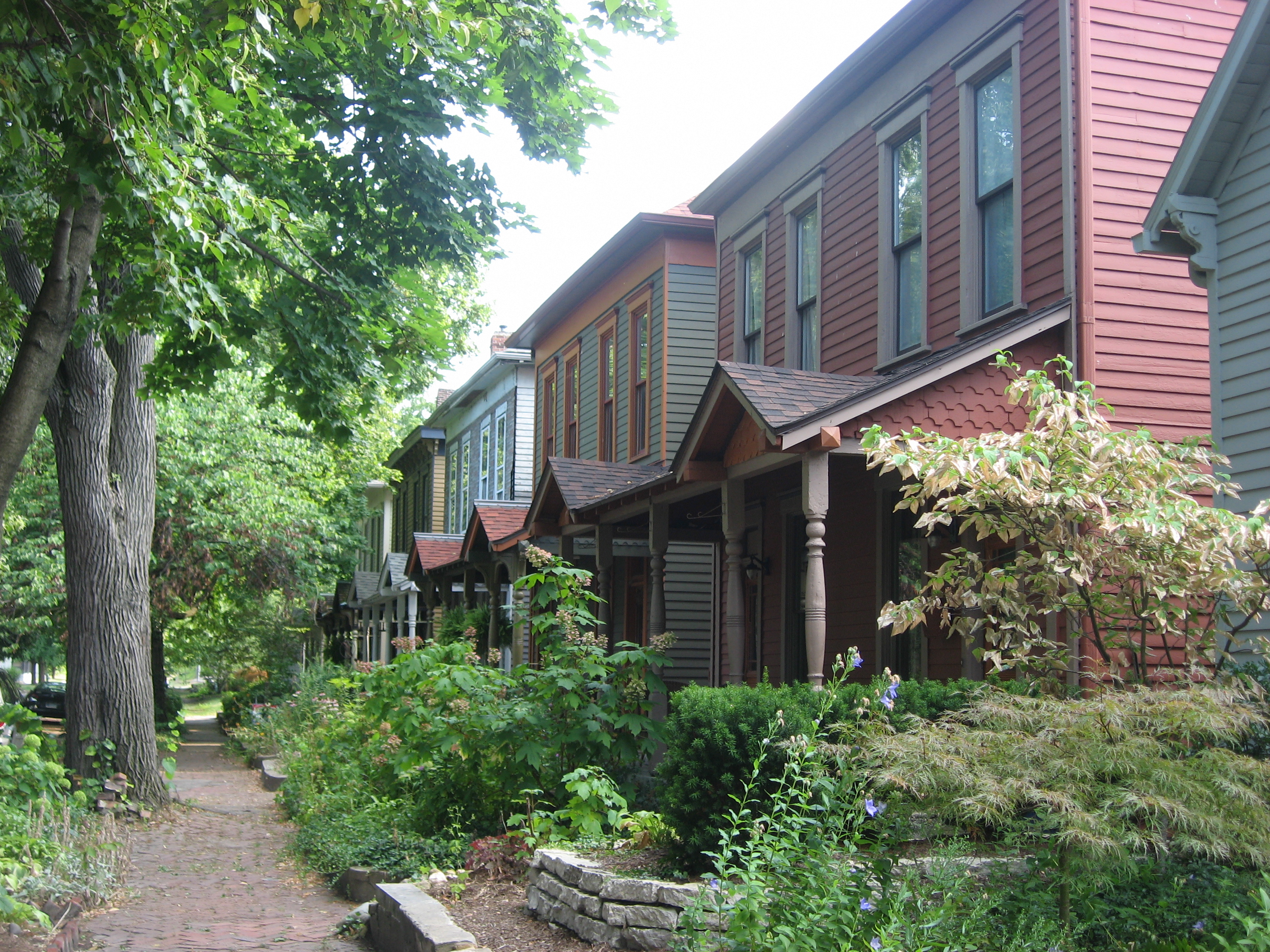
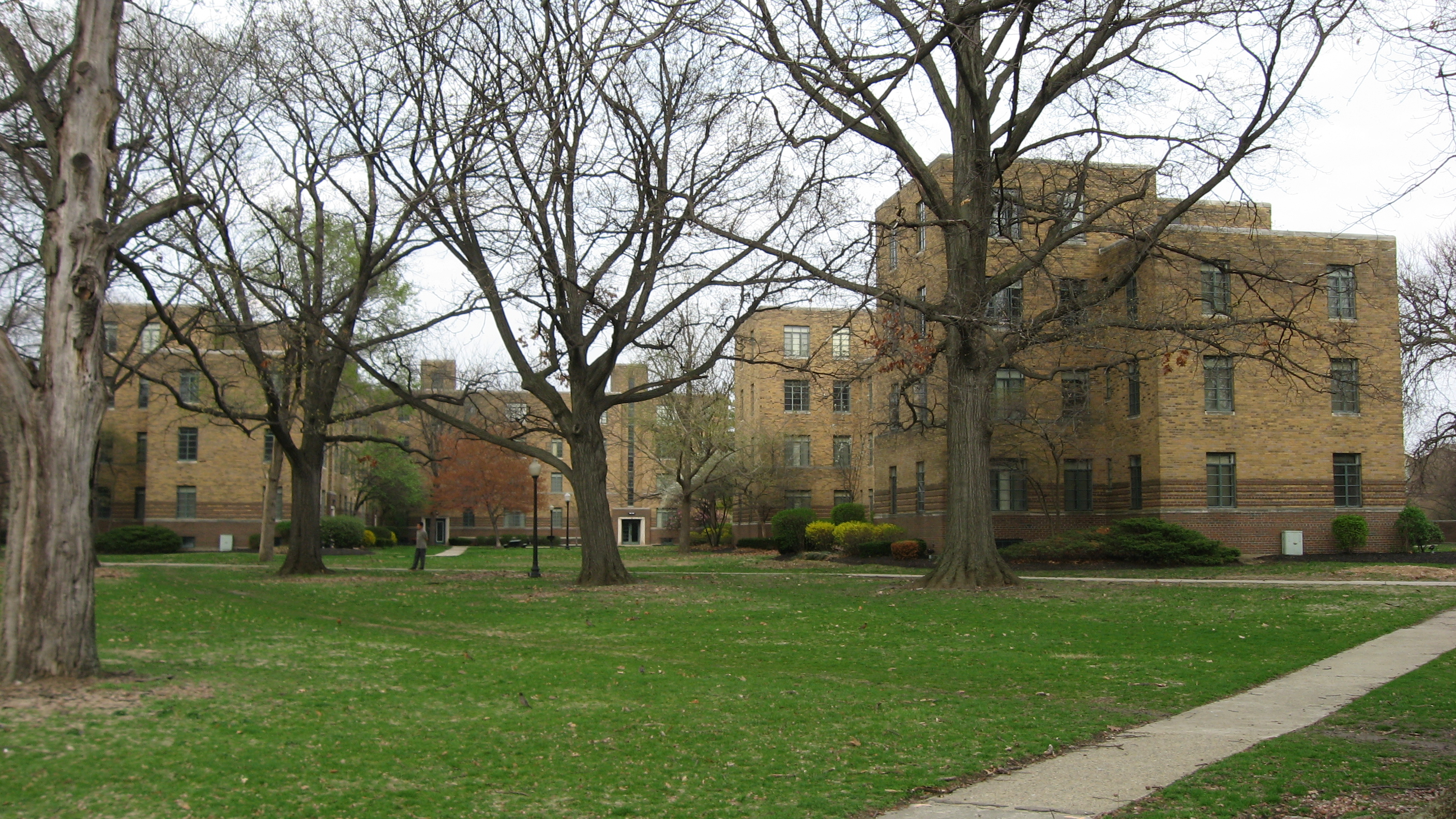
39°46′42″N 86°10′26″W / 39.77833°N 86.17389°W82 Lockerbie Square Historic District 
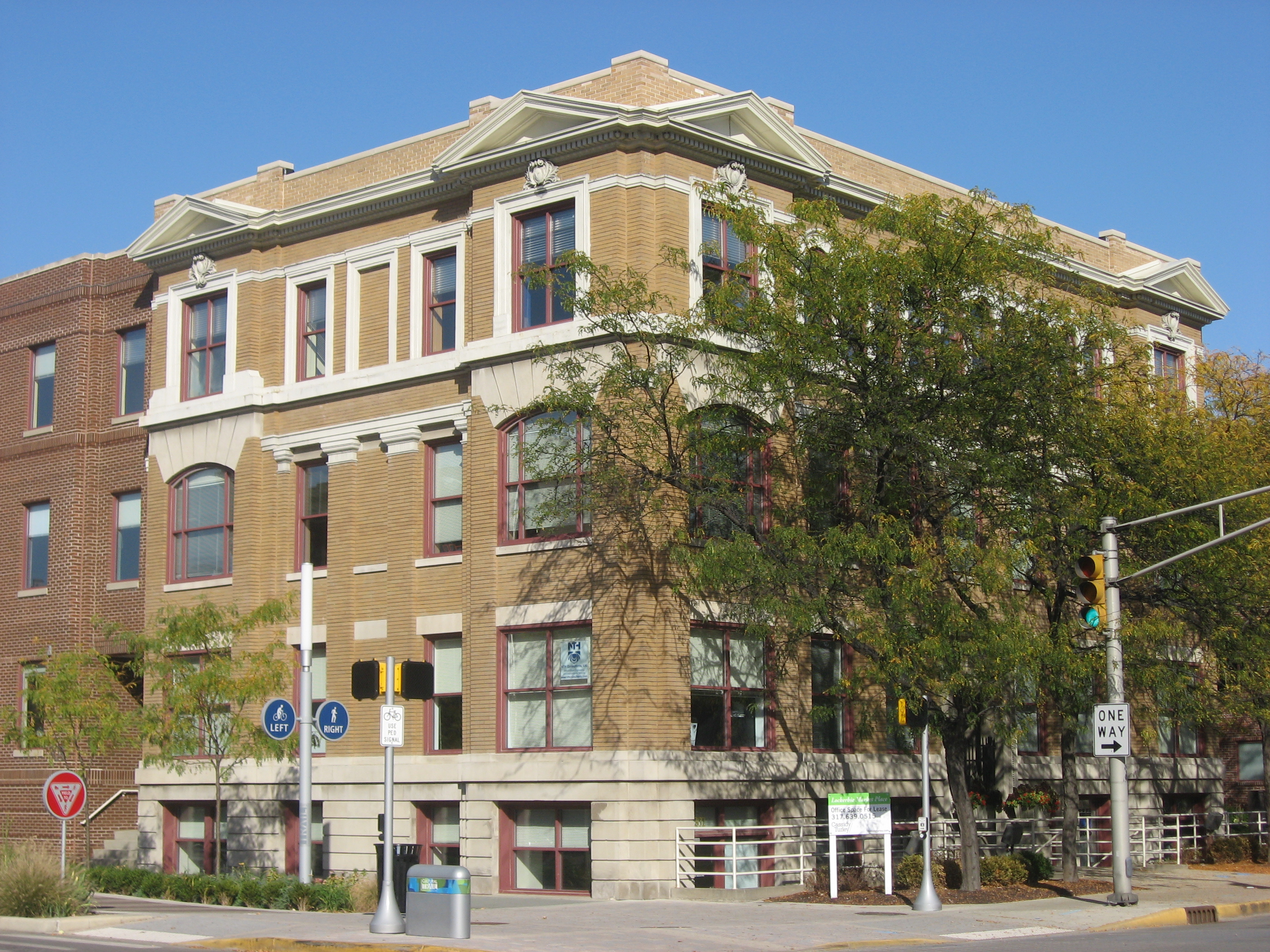
February 23, 1973 Indianapolis; specifically, bounded by Michigan and Davidson Sts., New York Ave., and New Jersey St.
39°46′16″N 86°8′52″W / 39.77111°N 86.14778°WSpecific boundaries represent a boundary increase of July 28, 1987 83 The Lodge 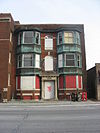
September 15, 1983 829 N. Pennsylvania St.
39°46′43″N 86°9′20″W / 39.77861°N 86.15556°W84 Lombard Building 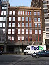
June 1, 1982 22-28 E. Washington St.
39°46′2″N 86°9′26″W / 39.76722°N 86.15722°W85 Majestic Building 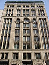
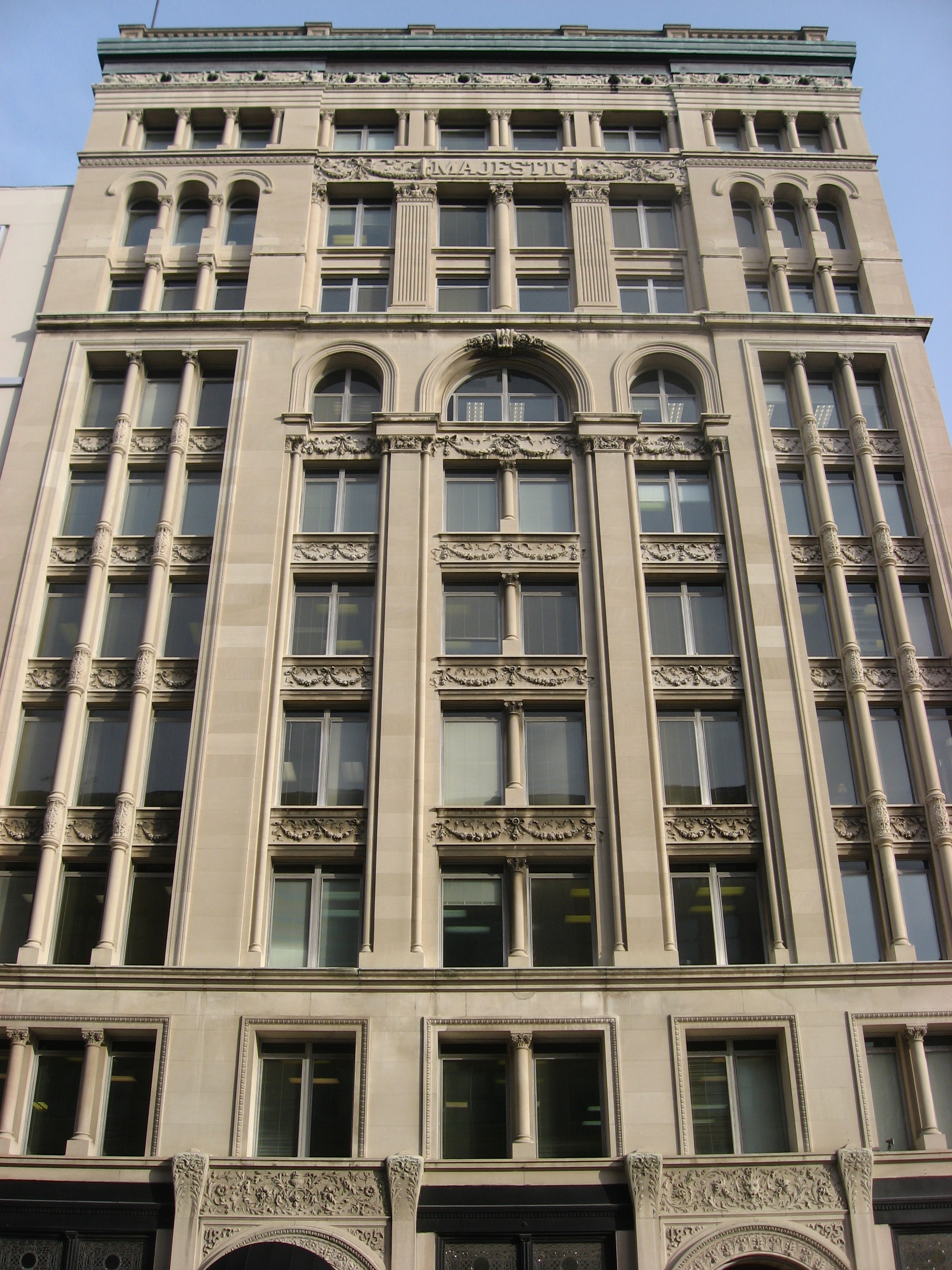
November 20, 1980 47 S. Pennsylvania St.
39°45′56″N 86°9′22″W / 39.76556°N 86.15611°W86 Manchester Apartments 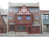
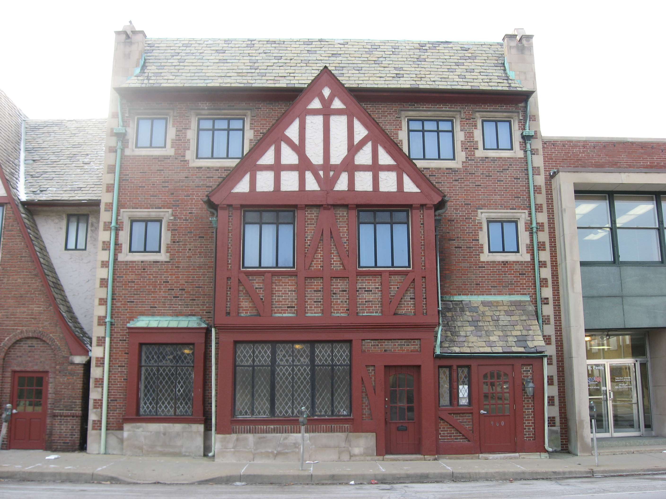
April 1, 1998 960-962 N. Pennsylvania St.
39°46′47″N 86°9′22″W / 39.77972°N 86.15611°W87 Horace Mann Public School No. 13 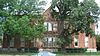
June 26, 1986 714 E. Buchanan St.
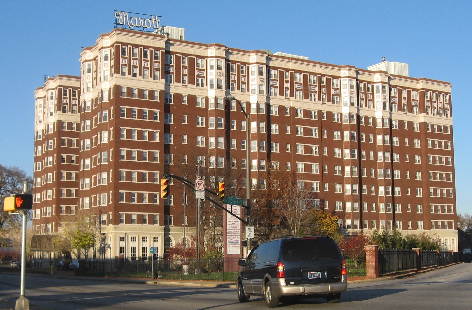
39°45′15″N 86°8′47″W / 39.75417°N 86.14639°W88 Marott Hotel 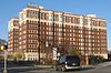
June 25, 1982 2625 N. Meridian St.
39°48′17″N 86°9′21″W / 39.80472°N 86.15583°W89 Marott's Shoes Building 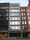
May 9, 1983 18-20 E. Washington St.
39°46′3″N 86°9′27″W / 39.7675°N 86.1575°W90 The Martens 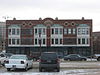
September 15, 1983 348-356 Indiana Ave.
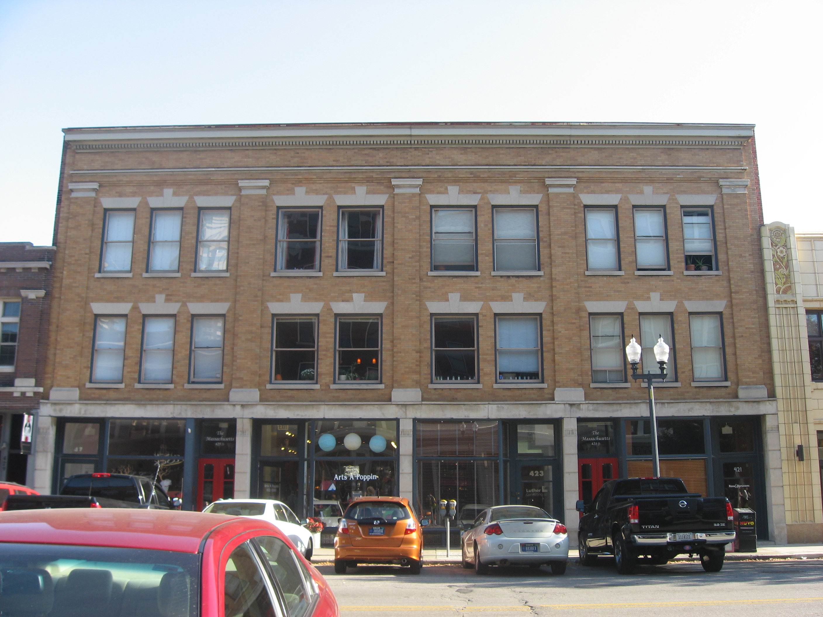
39°46′20″N 86°9′47″W / 39.77222°N 86.16306°W91 The Massachusetts 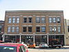
September 15, 1983 421-427 Massachusetts Ave.
39°46′24″N 86°9′3″W / 39.77333°N 86.15083°W92 Massachusetts Avenue Commercial District 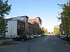
December 2, 1982 Roughly bounded by one block to either side of Massachusetts Ave. from Delaware St. to Interstate 65
39°46′33″N 86°8′51″W / 39.77583°N 86.1475°W93 The Mayleeno 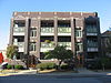
September 15, 1983 416-418 E. Vermont St.
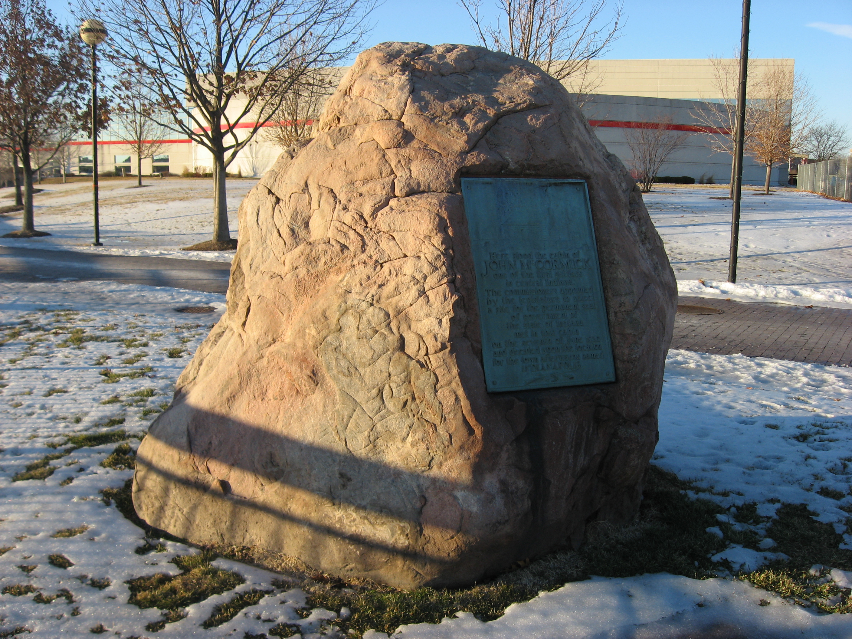
39°46′22″N 86°8′59″W / 39.77278°N 86.14972°W94 McCormick Cabin Site 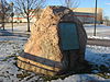
May 28, 1981 Off U.S. Route 40
39°46′5″N 86°10′24.5″W / 39.76806°N 86.173472°W95 The McKay 
September 15, 1983 611 N. Pennsylvania St.
39°46′33″N 86°9′20″W / 39.77583°N 86.15556°W96 George Philip Meier House 
September 23, 1982 3128 N. Pennsylvania St.
39°48′46″N 86°9′18″W / 39.81278°N 86.155°W97 Merchants National Bank and Annex 
February 19, 1982 11 S. Meridian St. and 7 E. Washington St.
39°46′0″N 86°9′29″W / 39.766667°N 86.15806°W98 Meridian Park Historic District 
February 23, 1990 Bounded by 34th St., Washington Boulevard, 30th St., and Pennsylvania St.
39°48′49″N 86°9′12″W / 39.81361°N 86.15333°W99 Military Park 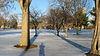
October 28, 1969 Bounded by West, New York, and Blackford Sts., and the canal
39°46′13″N 86°10′7″W / 39.77028°N 86.16861°W100 Thomas Moore House 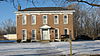
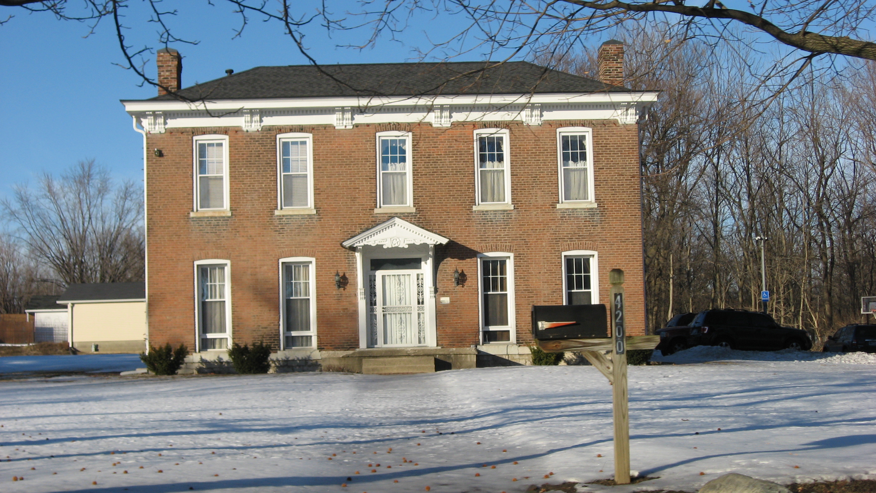
March 15, 1984 4200 Brookville Rd.
39°45′54″N 86°5′43″W / 39.765°N 86.09528°W101 Morris-Butler House 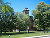
February 20, 1973 1204 N. Park Ave.
39°46′15″N 86°9′0″W / 39.77083°N 86.15°W102 Morrison Block (M. O'Connor Grocery Wholesalers) 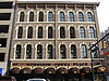
November 15, 1979 47 S. Meridian St.
39°45′56″N 86°9′29″W / 39.76556°N 86.15806°W103 Mt. Pisgah Lutheran Church 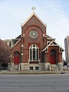
November 28, 1978 701 N. Pennsylvania St.
39°46′37″N 86°9′20″W / 39.77694°N 86.15556°W104 The Myrtle Fern 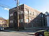
September 15, 1983 221 E. 9th St.
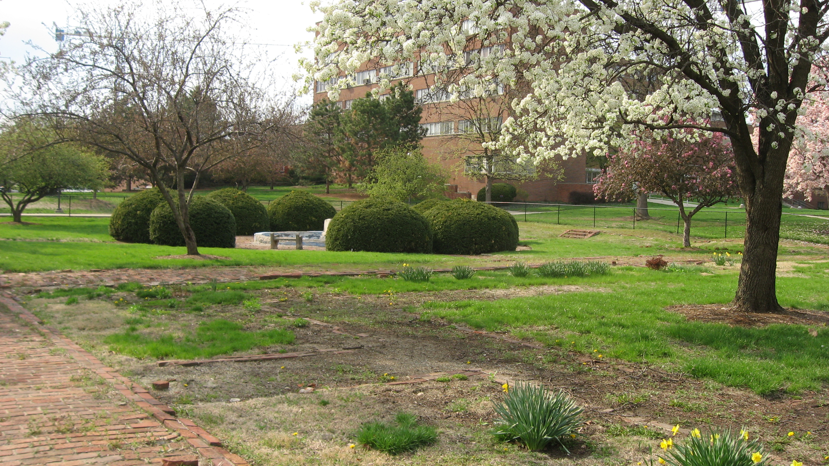
39°46′44″N 86°9′11″W / 39.77889°N 86.15306°W105 Nurses' Sunken Garden and Convalescent Park 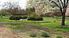
September 25, 1996 Bounded by Michigan St., the Rotary Building, West Dr., and the Union Building
39°46′35″N 86°10′56″W / 39.77639°N 86.18222°W106 Old Indianapolis City Hall 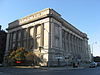
October 29, 1974 202 N. Alabama St.
39°46′12″N 86°9′9″W / 39.77°N 86.1525°W107 Old Northside Historic District 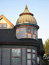
March 24, 1978 Roughly bounded by Interstate 65 and 16th, Bellefontaine, and Pennsylvania Sts.; also Pennsylvania and 16th Sts.
39°47′8″N 86°8′58″W / 39.78556°N 86.14944°WPennsylvania and 16th represents a boundary increase of September 27, 1984 108 The Oxford 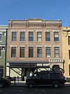
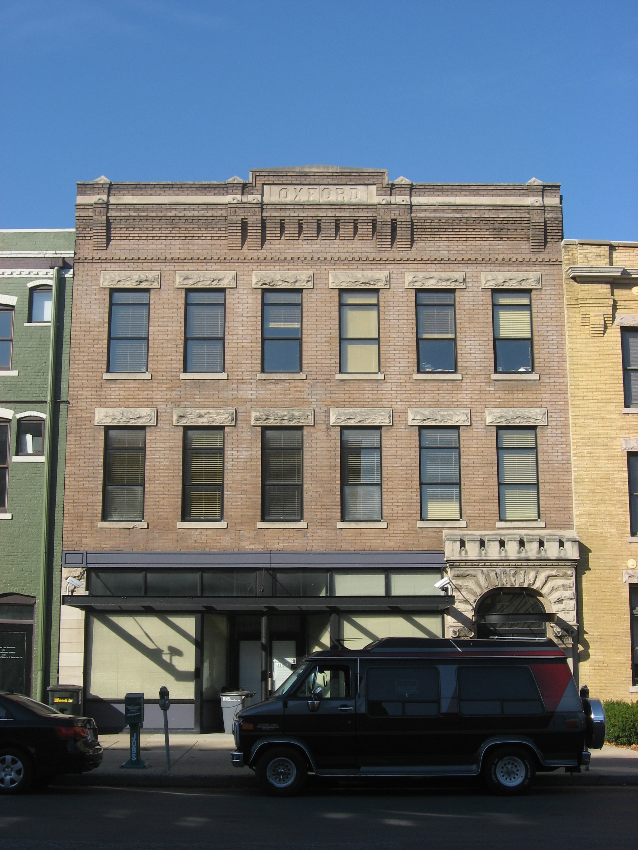
September 15, 1983 316 E. Vermont St.
39°46′22″N 86°9′6″W / 39.77278°N 86.15167°W109 Pearson Terrace 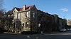
March 1, 1984 928-940 N. Alabama St.
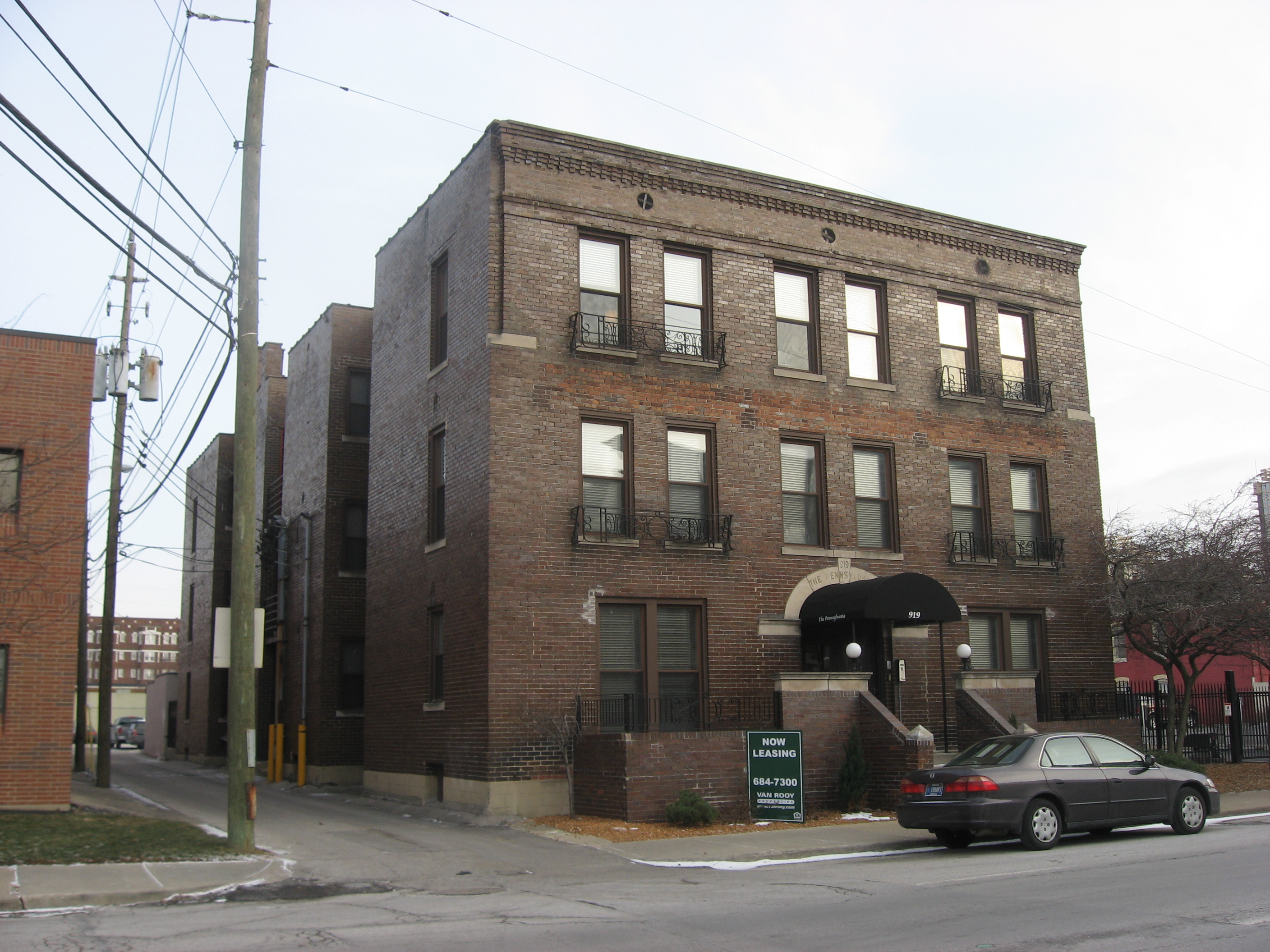
39°46′49″N 86°9′8″W / 39.78028°N 86.15222°W110 The Pennsylvania 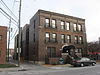
September 15, 1983 919 N. Pennsylvania St.
39°46′46″N 86°9′19″W / 39.77944°N 86.15528°W111 Pierson-Griffiths House 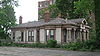
May 22, 1978 1028 N. Delaware St.
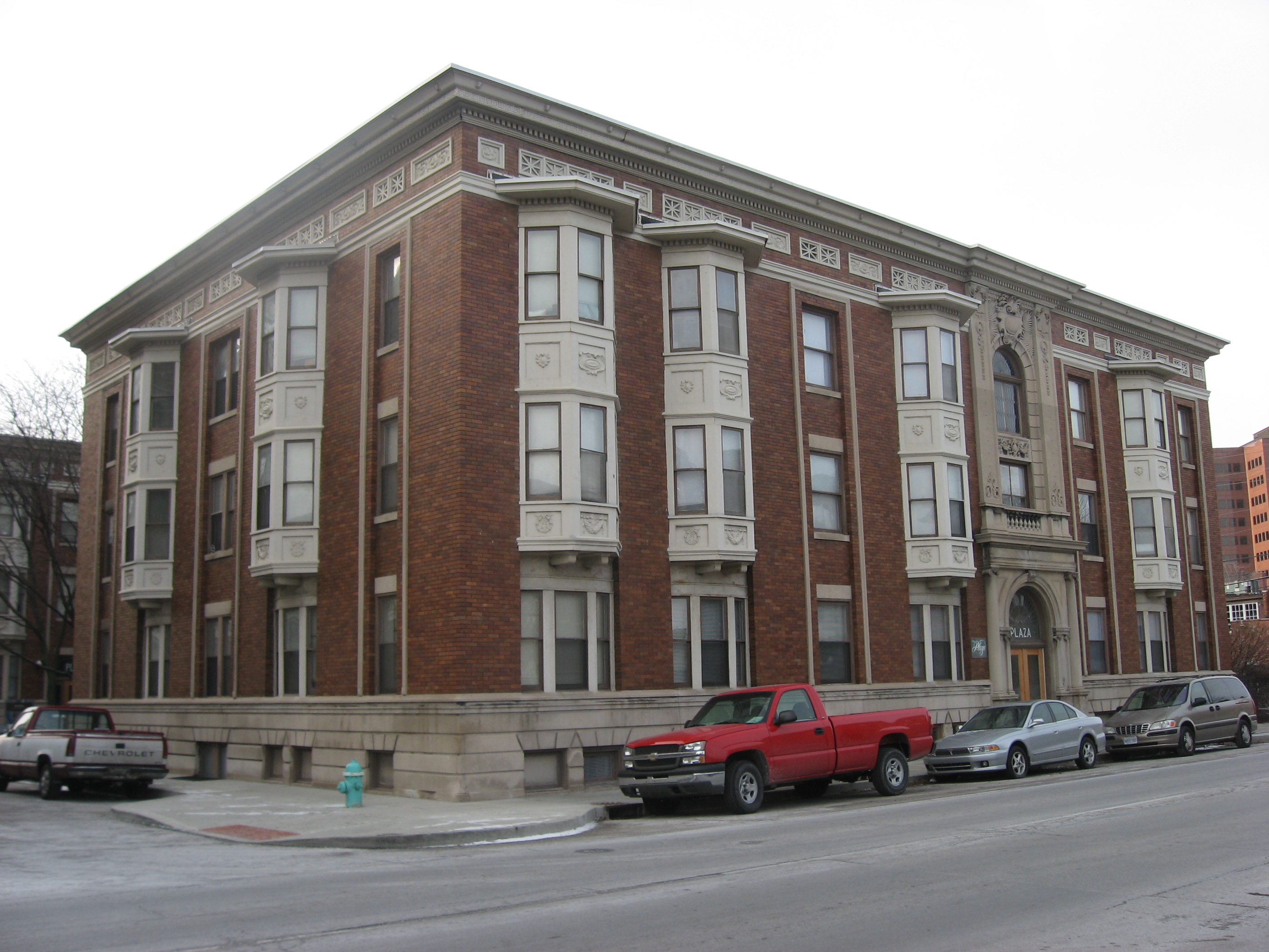
39°46′56″N 86°9′15″W / 39.78222°N 86.15417°W112 The Plaza 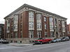
September 15, 1983 902 N. Pennsylvania St. and 36 E. 9th St.
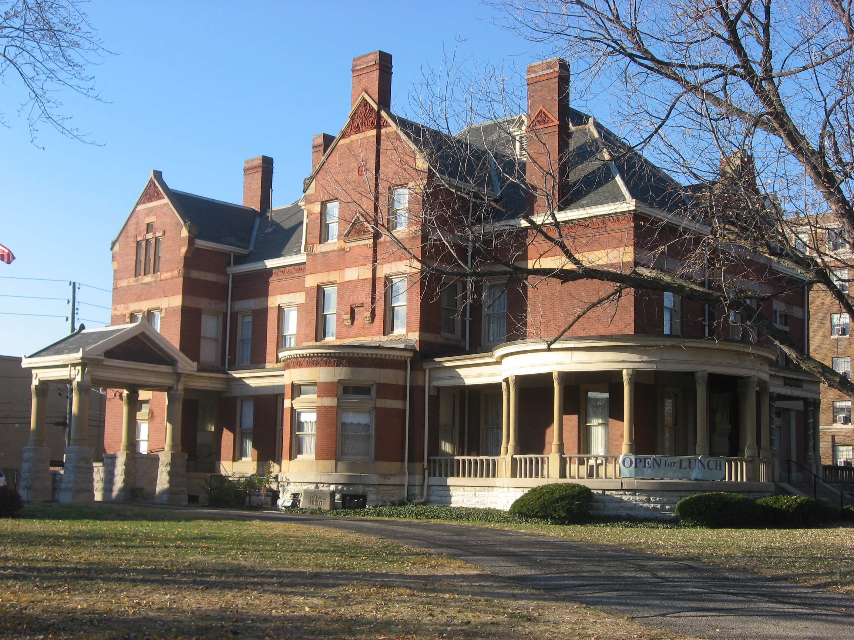
39°46′45″N 86°9′21″W / 39.77917°N 86.15583°W113 The Propylaeum (John W. Schmidt House) 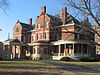
June 19, 1973 1410 N. Delaware St.
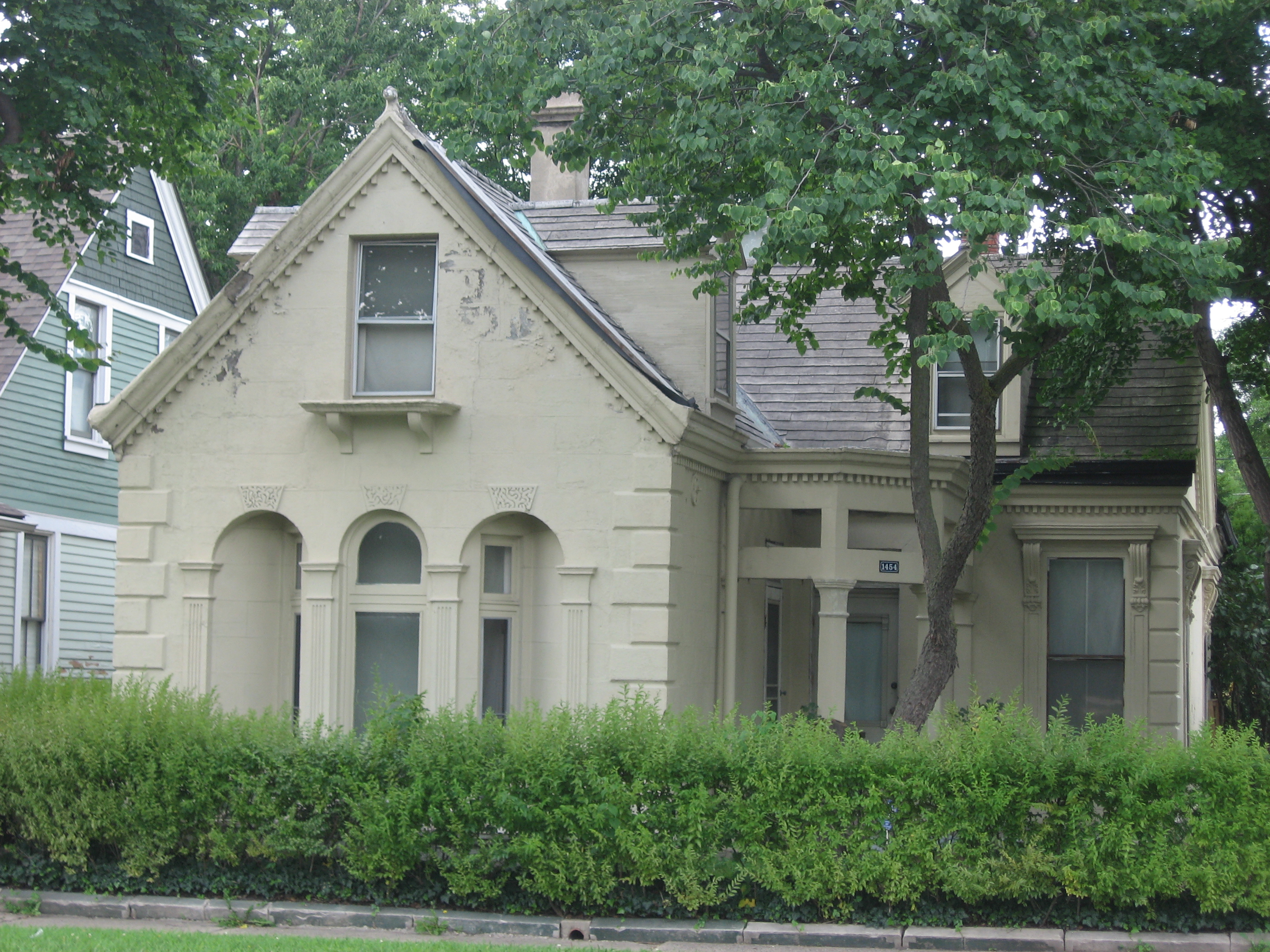
39°47′11″N 86°9′16″W / 39.78639°N 86.15444°W114 Prosser House 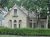
September 5, 1975 1454 E. 10th St.
39°46′53″N 86°8′1″W / 39.78139°N 86.13361°W115 Ralph Waldo Emerson Indianapolis Public School No. 58 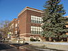
December 6, 2004 321 N. Linwood St.
39°46′29″N 86°5′32″W / 39.77472°N 86.09222°W116 Ransom Place Historic District 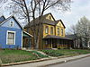
December 10, 1992 Roughly bounded by 10th, St. Clair, West, and Camp Sts.
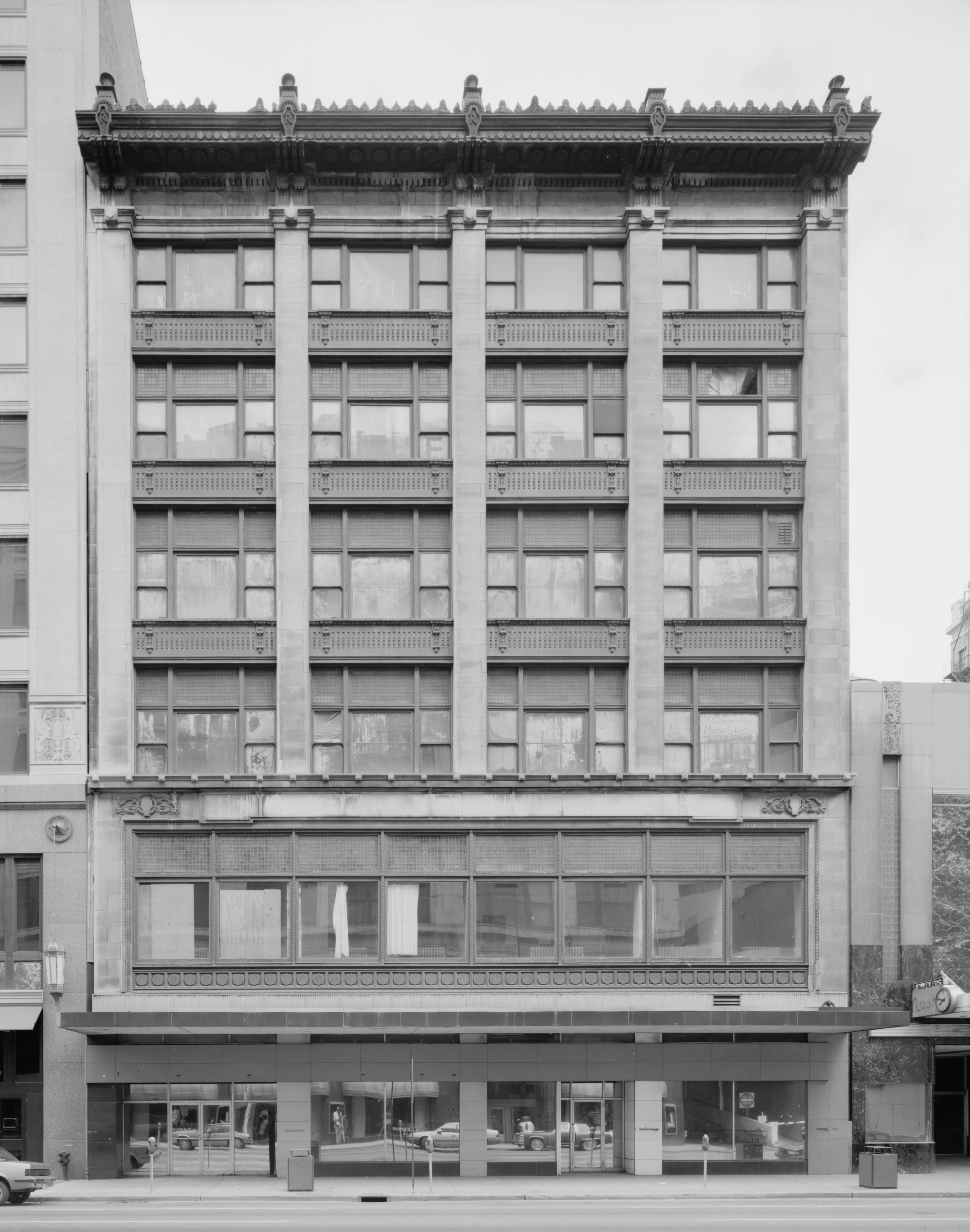
39°46′44″N 86°10′11″W / 39.77889°N 86.16972°W117 Reserve Loan Life Insurance Company 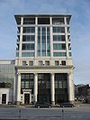
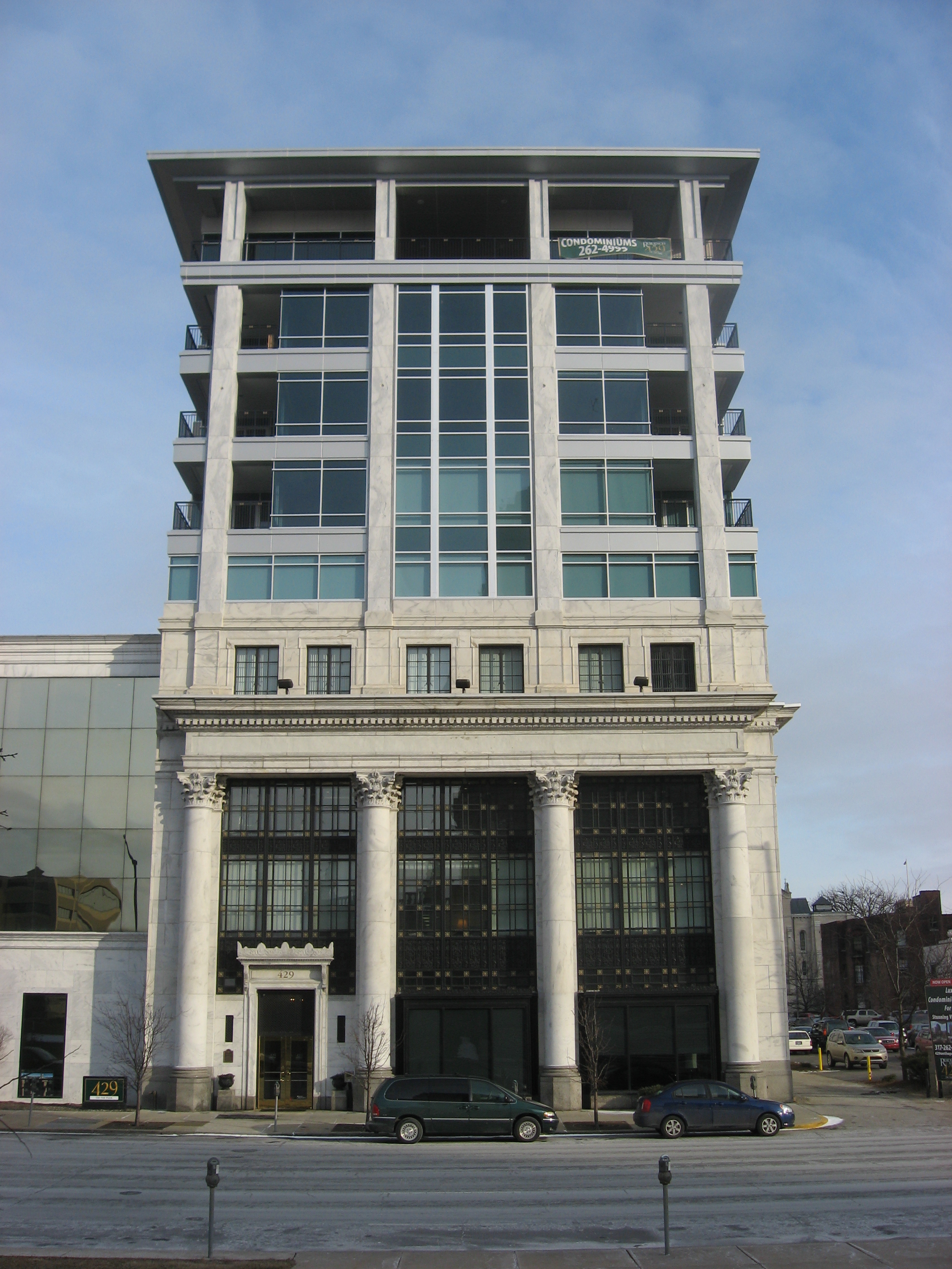
February 23, 1990 429 N. Pennsylvania St.
39°46′29″N 86°9′20″W / 39.77472°N 86.15556°W118 James Whitcomb Riley House 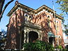
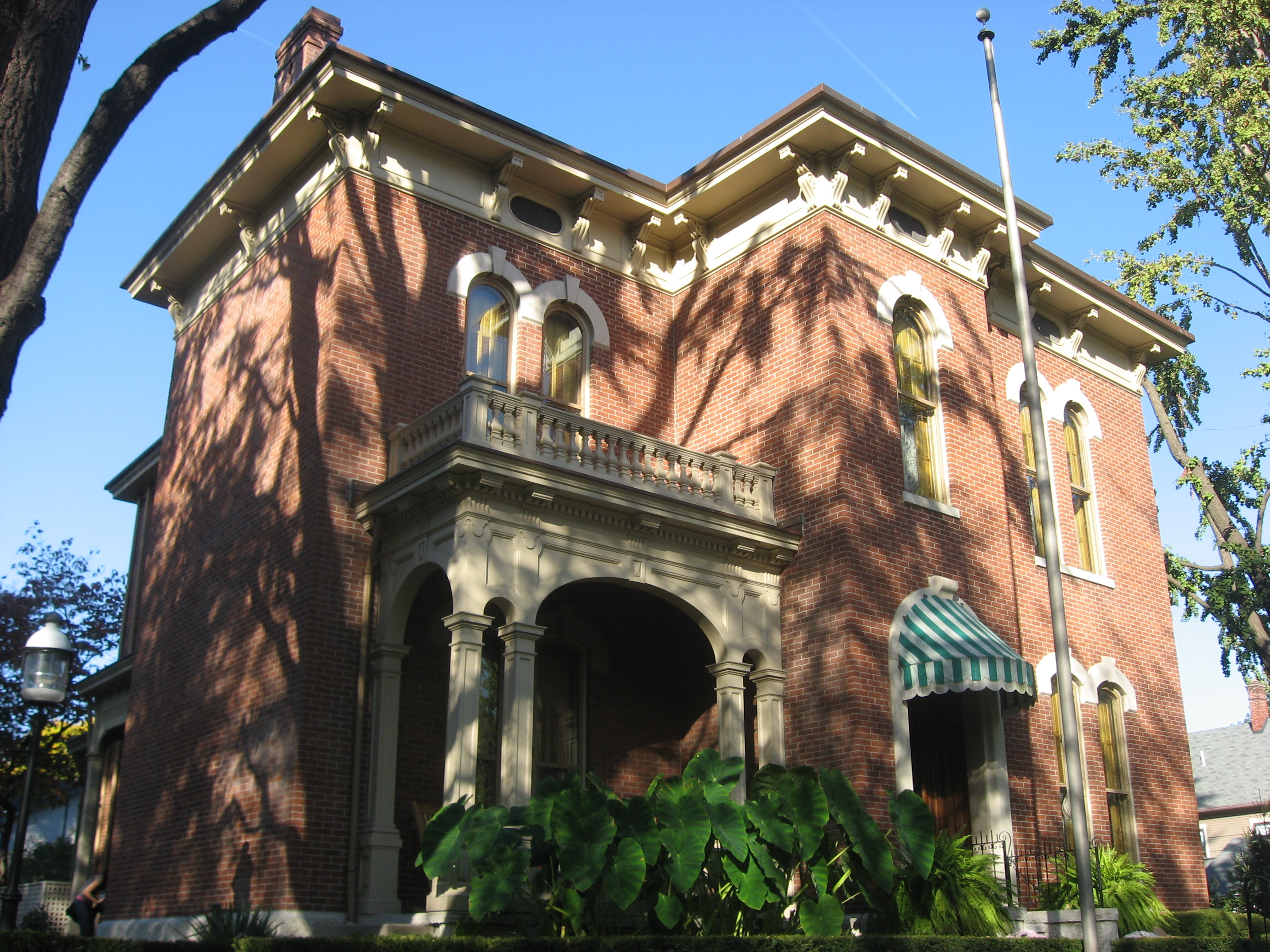
October 15, 1966 528 Lockerbie St.
39°46′20″N 86°8′52.5″W / 39.77222°N 86.147917°W119 The Rink 
September 15, 1983 401 N. Illinois St.
39°46′22″N 86°9′34″W / 39.77278°N 86.15944°W120 Rink's Womens Apparel Store 
September 27, 1984 29 N. Illinois St.
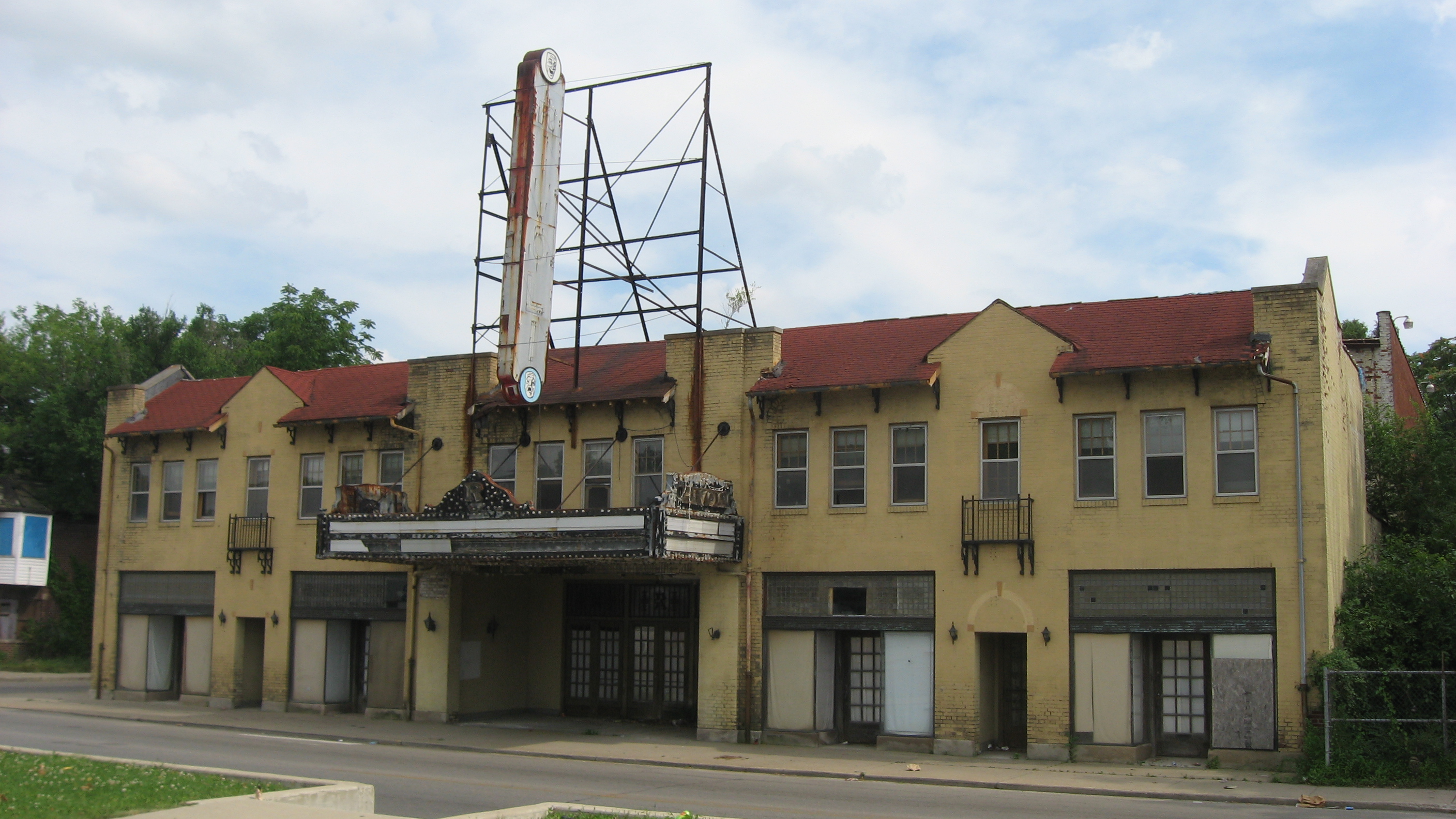
39°46′4″N 86°9′34″W / 39.76778°N 86.15944°W121 Rivoli Theater 
June 22, 2004 3155 E. 10th St.
39°46′52″N 86°6′41″W / 39.78111°N 86.11139°W122 Roberts Park Methodist Episcopal Church 
August 19, 1982 401 N. Delaware St.
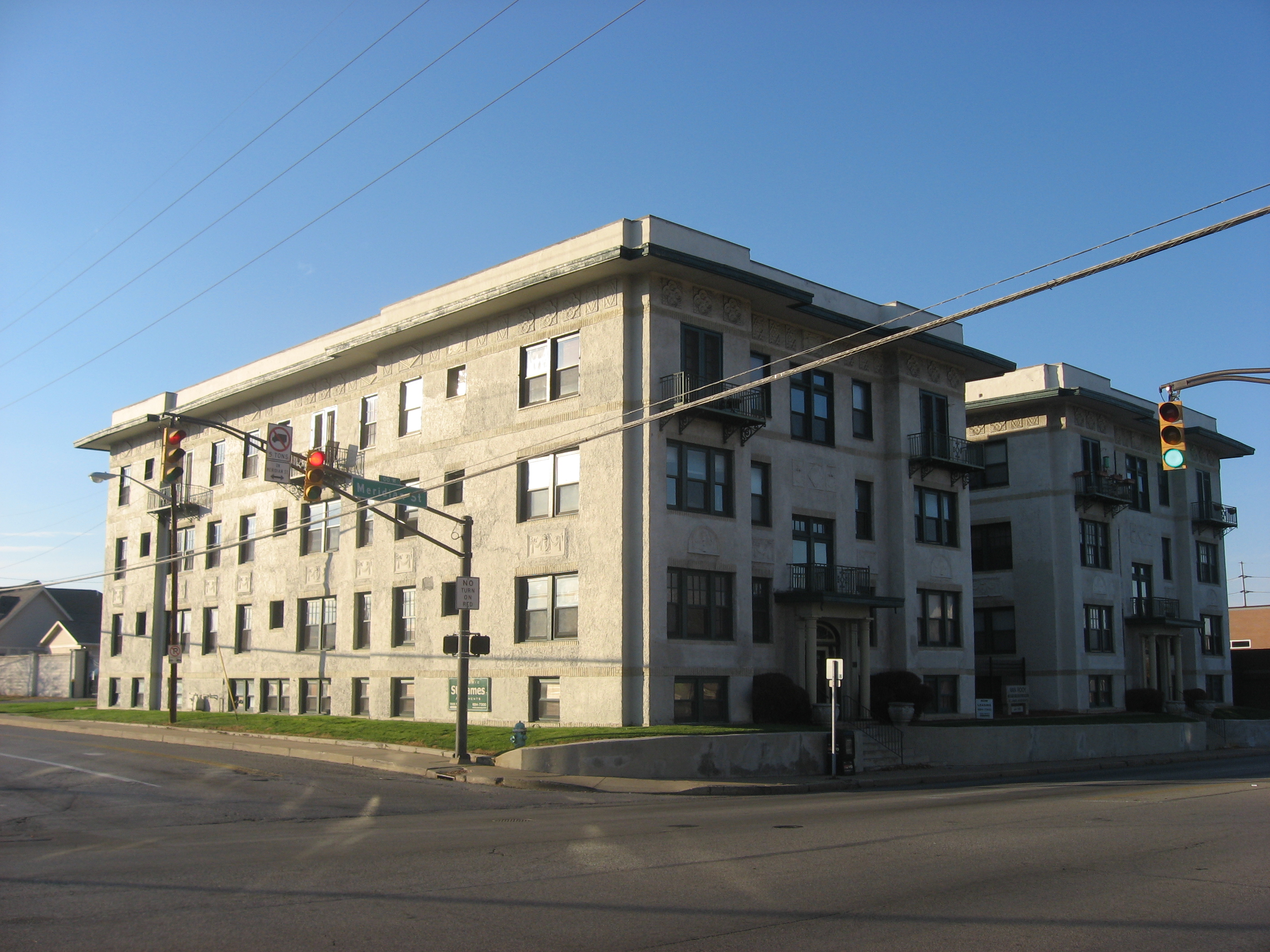
39°46′22″N 86°9′14″W / 39.77278°N 86.15389°W123 Saint James Court 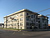
February 18, 1987 2102-2108 N. Meridian St.
39°47′43″N 86°9′27″W / 39.79528°N 86.1575°W124 St. John's Church and Rectory 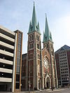
September 17, 1980 121 S. Capitol Ave. and 124 and 126 W. Georgia St.
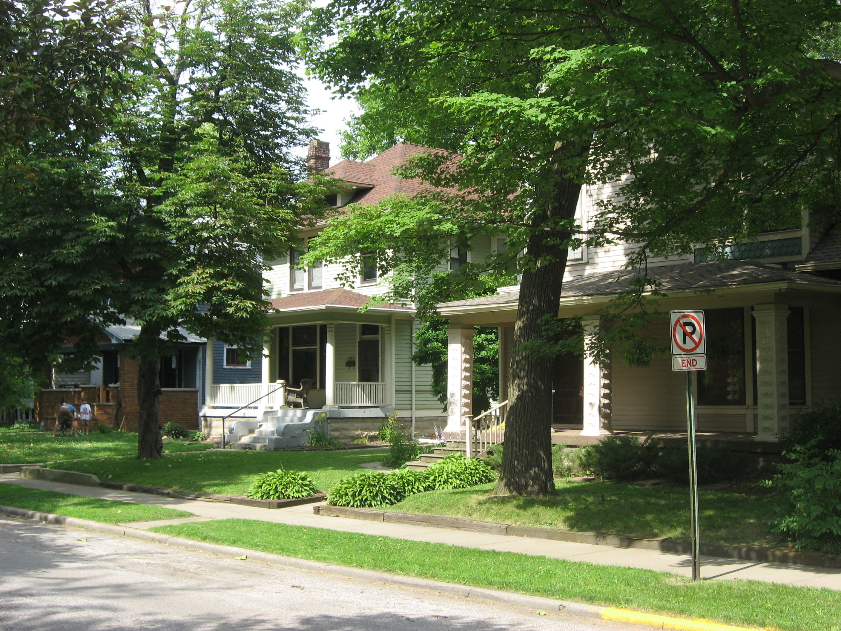
39°45′52″N 86°9′41″W / 39.76444°N 86.16139°W125 St. Joseph Neighborhood Historic District 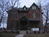
June 27, 1991 Roughly bounded by St. Clair, Delaware, and 11th Sts., and Central and Ft. Wayne Aves.
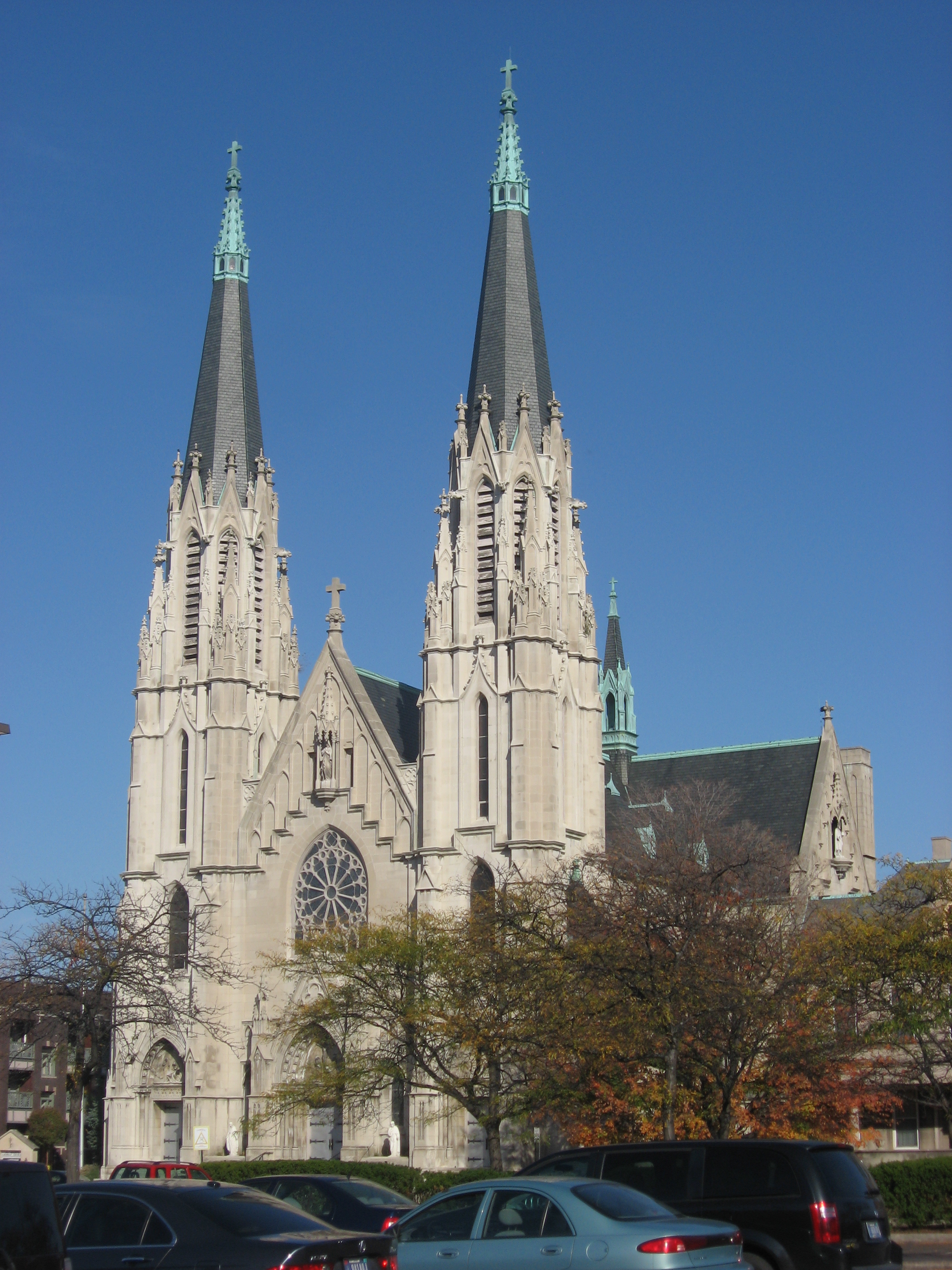
39°46′50.05″N 86°9′7.62″W / 39.7805694°N 86.1521167°W126 St. Mary's Catholic Church 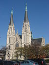
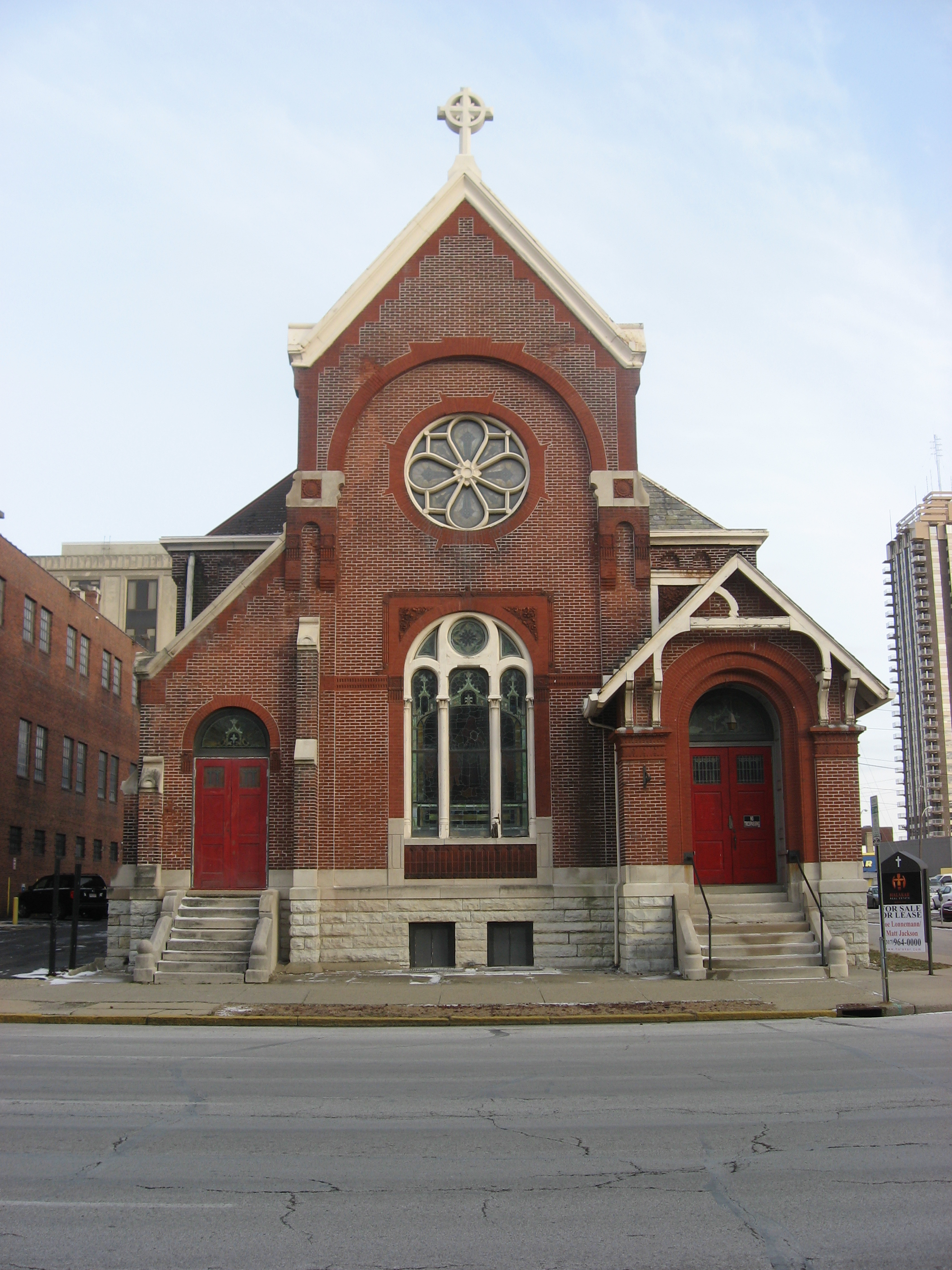
November 9, 1977 317 N. New Jersey St.
39°46′20″N 86°9′0″W / 39.77222°N 86.15°W127 St. Philip Neri Parish Historic District 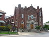
September 25, 1996 530 and 550 N. Rural St. and 545 N. Eastern Ave.
39°46′32″N 86°7′2″W / 39.77556°N 86.11722°W128 The Savoy 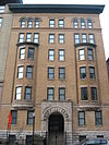
September 15, 1983 36 W. Vermont St.
39°46′22″N 86°9′32″W / 39.77278°N 86.15889°W129 Schnull-Rauch House 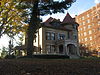
November 14, 1979 3050 N. Meridian St.
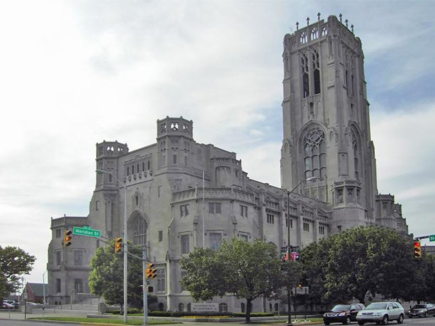
39°48′41″N 86°9′26″W / 39.81139°N 86.15722°W130 Scottish Rite Cathedral 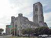
June 6, 1983 650 N. Meridian St.
39°46′34″N 86°9′29″W / 39.77611°N 86.15806°W131 Selig's Dry Goods Company Building 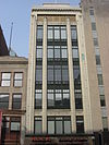
May 17, 1984 20 W. Washington St.
39°46′2″N 86°9′30″W / 39.76722°N 86.15833°W132 The Seville 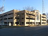
June 22, 1987 1701 N. Illinois St.
39°47′23″N 86°9′31″W / 39.78972°N 86.15861°W133 Sheffield Inn 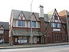
April 1, 1998 956-58 N. Pennsylvania St.
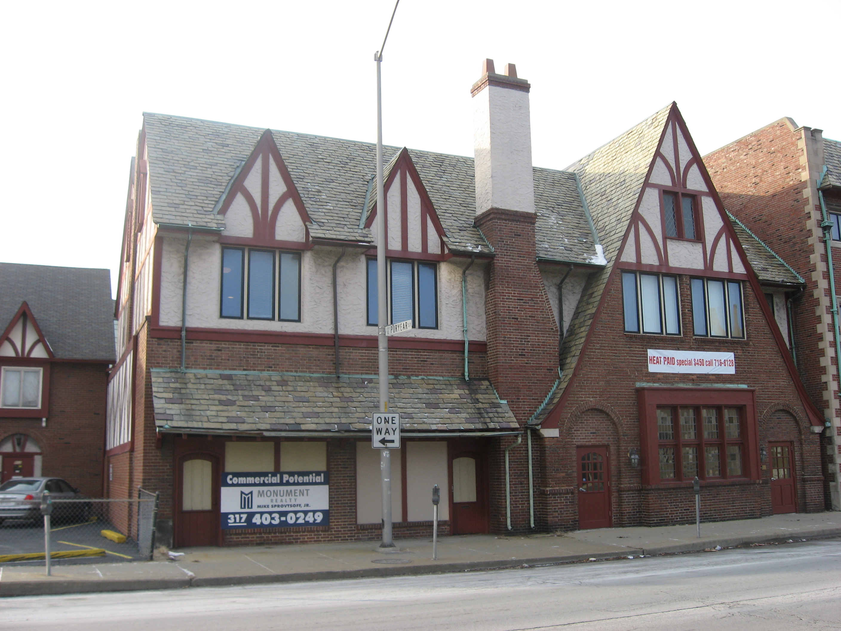
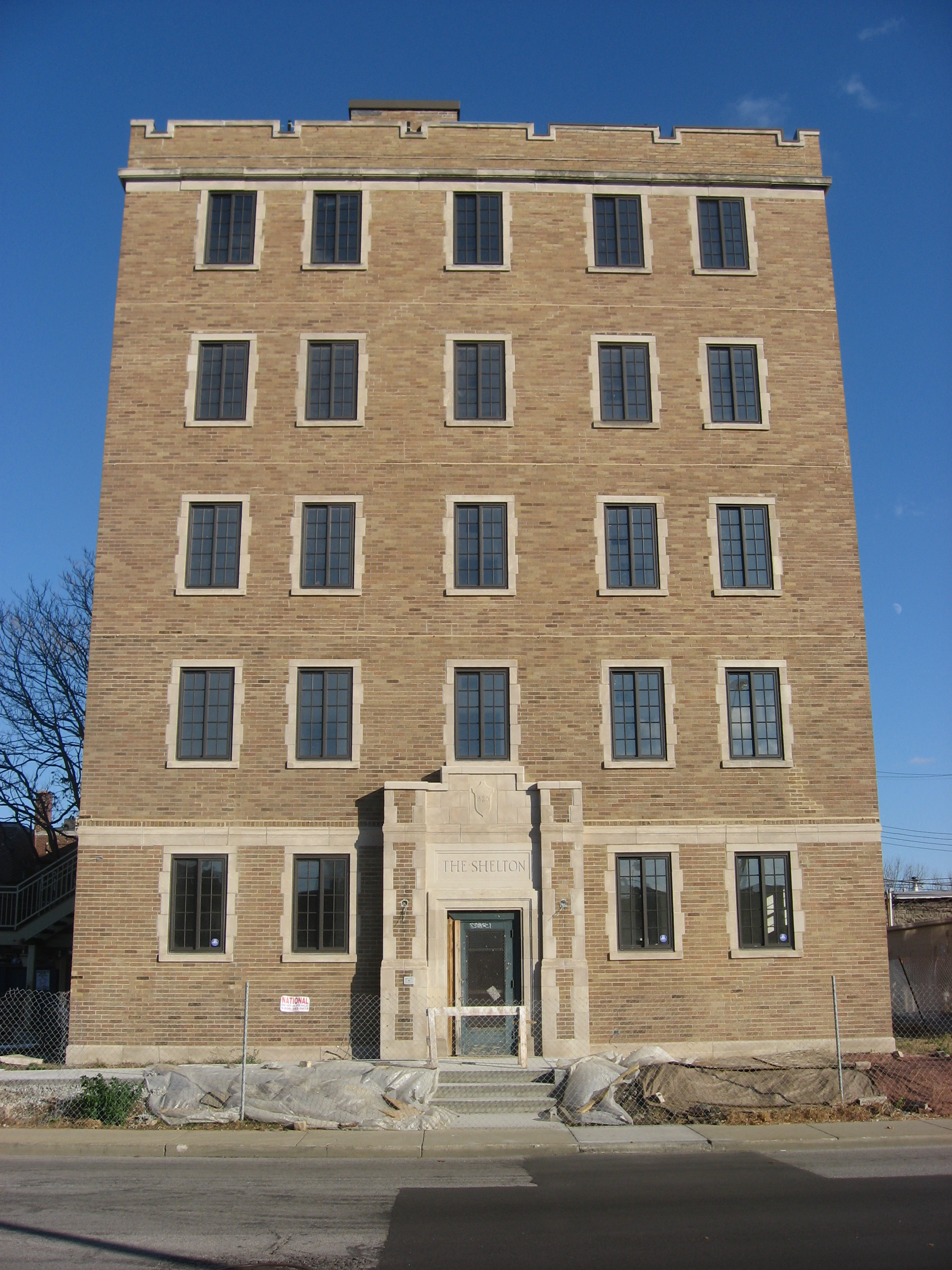
39°46′50″N 86°9′21″W / 39.78056°N 86.15583°W134 The Shelton 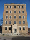
September 15, 1983 825 N. Delaware St.
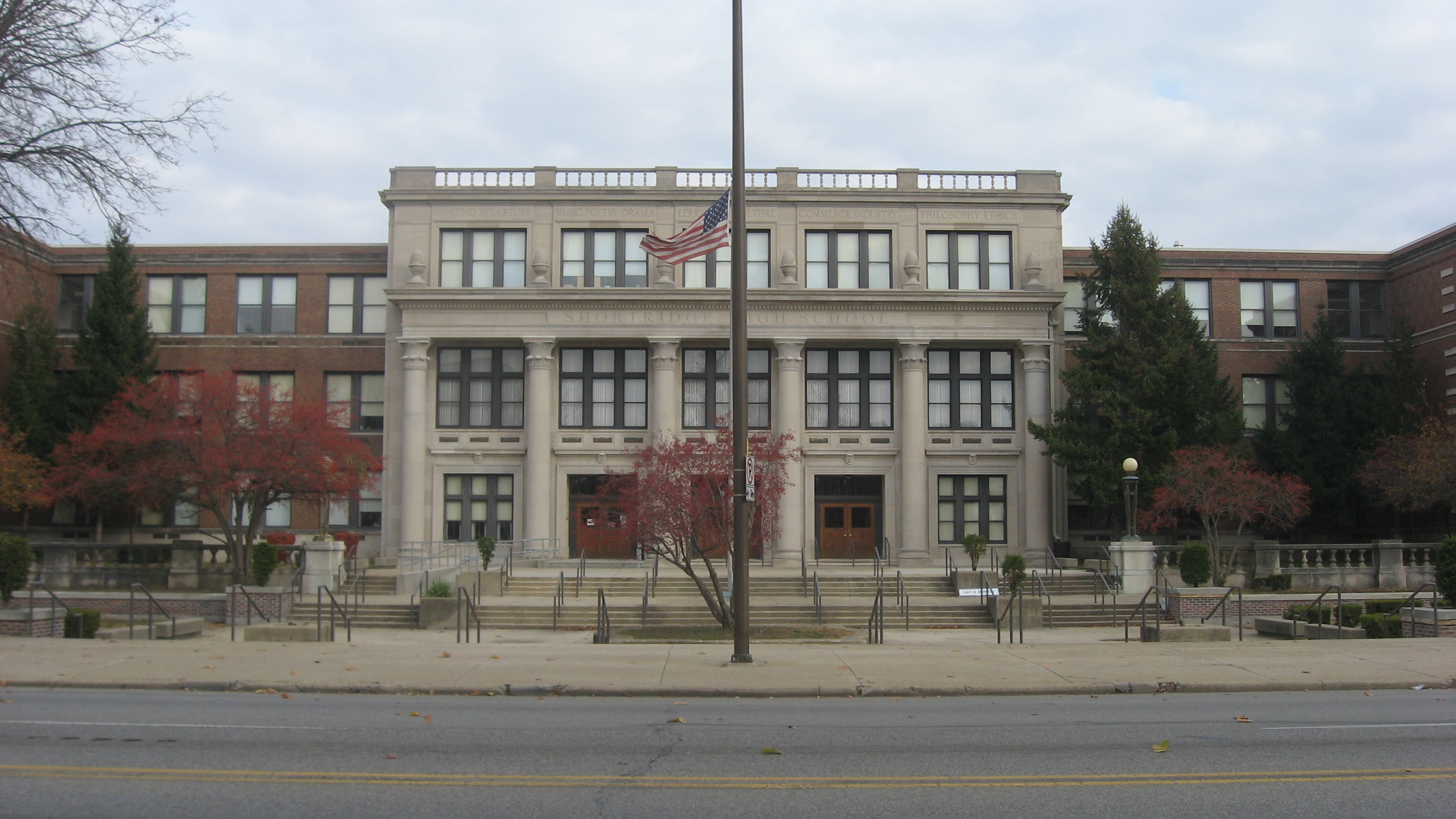
39°46′42″N 86°9′13″W / 39.77833°N 86.15361°W135 Shortridge High School 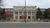
September 15, 1983 3401 N. Meridian St.
39°49′8″N 86°9′19″W / 39.81889°N 86.15528°W136 Shortridge-Meridian Street Apartments Historic District 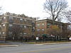
March 15, 2000 Roughly between 34th and 38th Sts., along N. Meridian and N. Pennsylvania Sts.
39°49′16.16″N 86°9′24.48″W / 39.8211556°N 86.1568°W137 The Sid-Mar 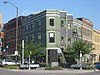
September 15, 1983 401-403 Massachusetts Ave.
39°46′22″N 86°9′7″W / 39.77278°N 86.15194°W138 August Sommer House 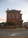
November 28, 1980 29 E. McCarty St.
39°45′55″N 86°9′31″W / 39.76528°N 86.15861°W139 The Spink 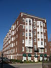
September 15, 1983 230 E. 9th St.
39°46′45″N 86°9′10″W / 39.77917°N 86.15278°W140 Spink Arms Hotel 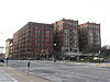
December 7, 2001 410 N. Meridian St.
39°46′14″N 86°9′30″W / 39.77056°N 86.15833°W141 State and Prospect District 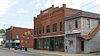
June 30, 1983 State Ave. and Prospect St.
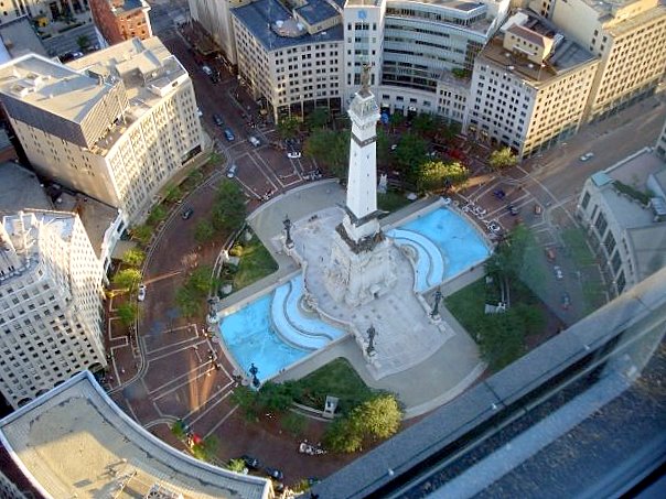
39°45′9″N 86°7′49″W / 39.7525°N 86.13028°W142 State Soldiers and Sailors Monument 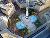
February 23, 1973 Monument Circle
39°46′6″N 86°9′29″W / 39.76833°N 86.15806°W143 The Sylvania 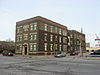
September 15, 1983 801 N. Pennsylvania St. and 108 E. St. Clair St.
39°46′41″N 86°9′20″W / 39.77806°N 86.15556°W144 Taylor Carpet Company Building 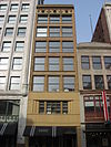
March 1, 1984 26 W. Washington St.
39°46′2″N 86°9′32″W / 39.76722°N 86.15889°W145 Test Building 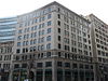
June 16, 1983 54 Monument Circle
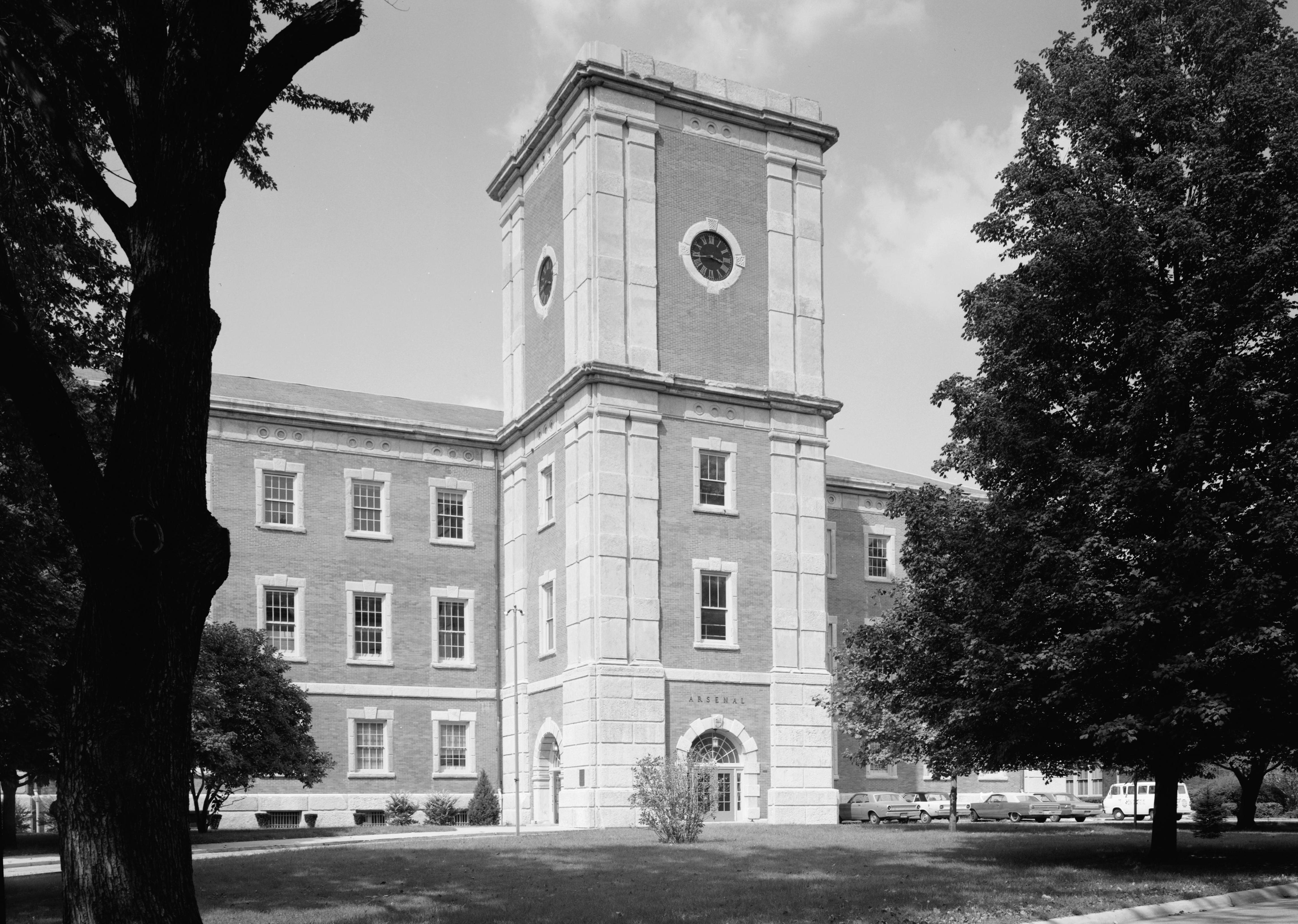
39°46′6″N 86°9′32″W / 39.76833°N 86.15889°W146 U.S. Arsenal (Arsenal Technical High School) 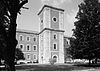
May 19, 1976 1500 E. Michigan St.
39°46′40″N 86°7′59″W / 39.77778°N 86.13306°W147 U.S. Courthouse and Post Office 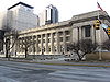
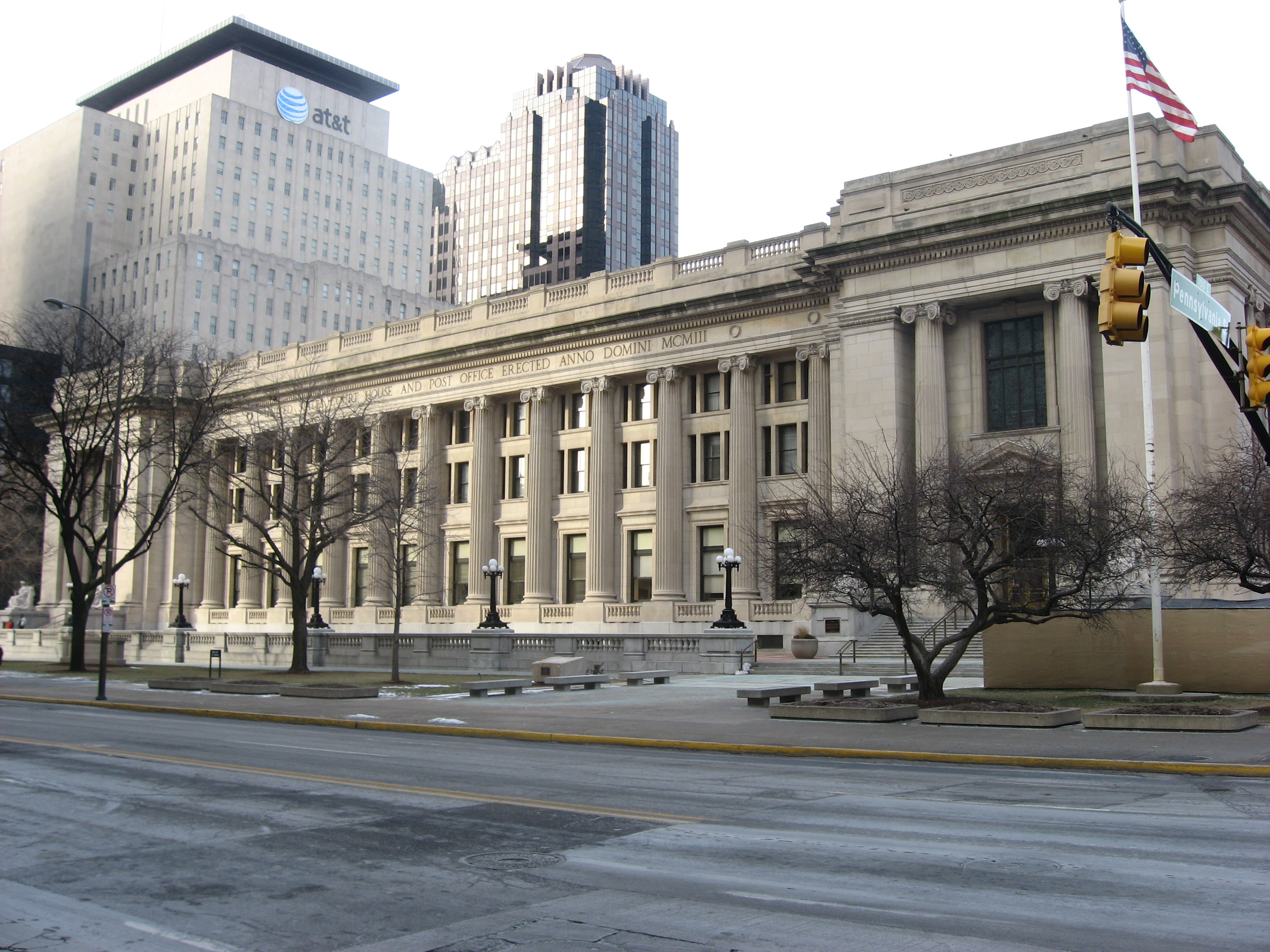
January 11, 1974 46 E. Ohio St.
39°46′14″N 86°9′25″W / 39.77056°N 86.15694°W148 University Park 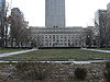
September 7, 1989 Bounded by Vermont, Pennsylvania, New York, and Meridian Sts.
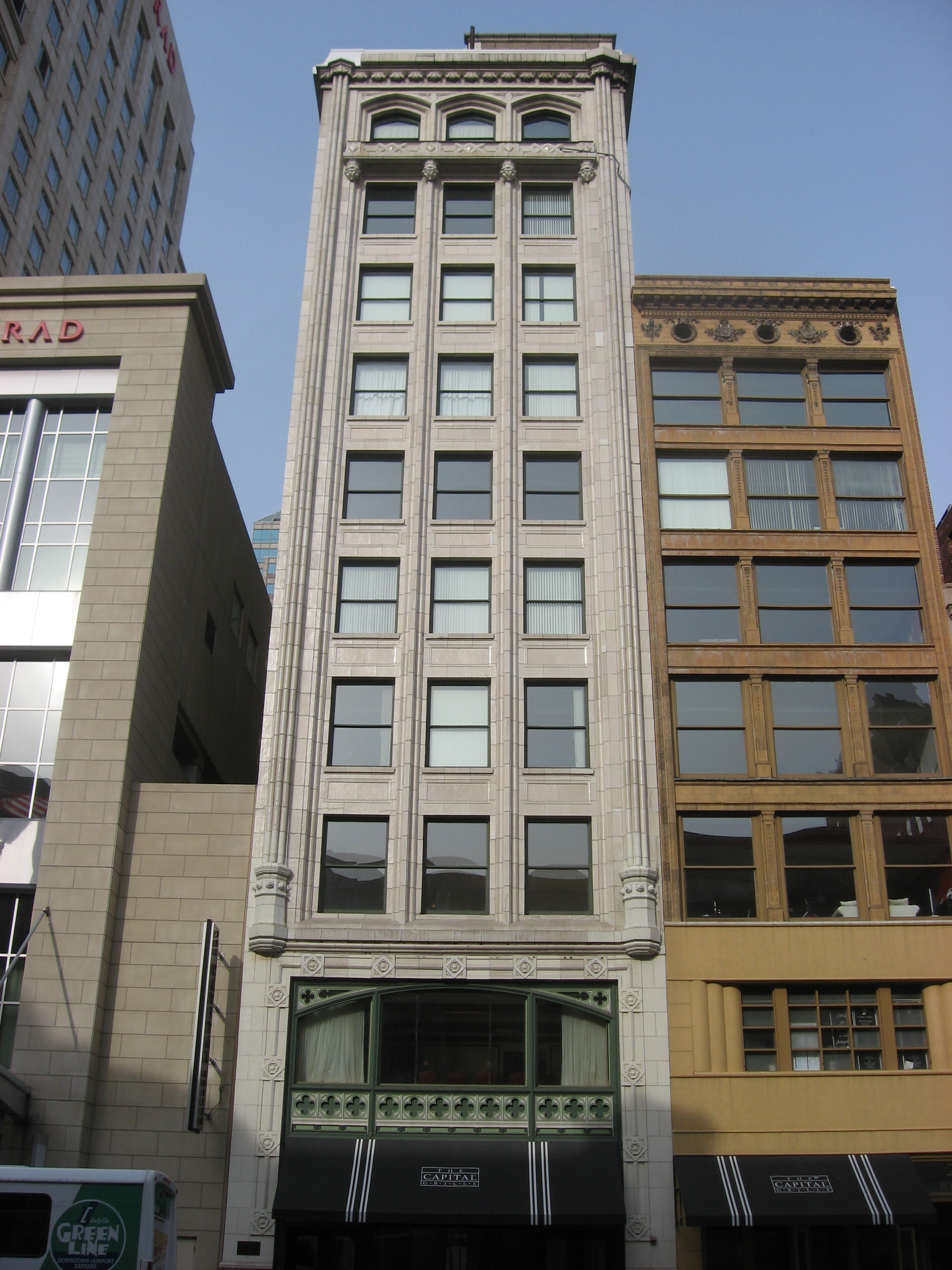
39°46′18″N 86°9′24″W / 39.77167°N 86.15667°W149 Vera and the Olga 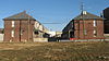
September 27, 1984 1440 and 1446 N. Illinois St.
39°47′12″N 86°9′34″W / 39.78667°N 86.15944°W150 The Vienna 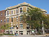
September 15, 1983 306 E. New York St.
39°46′17″N 86°9′8″W / 39.77139°N 86.15222°W151 Virginia Avenue District 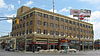
June 30, 1983 Roughly Virginia Ave. from Grove Ave. to Prospect and Morris Sts.
39°45′10″N 86°8′25″W / 39.75278°N 86.14028°W152 Madame C.J. Walker Building 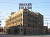
July 17, 1980 617 Indiana Ave.
39°46′33″N 86°10′1″W / 39.77583°N 86.16694°W153 Washington Street-Monument Circle Historic District 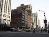
September 26, 1997 Roughly bounded by Delaware, Ohio, Capitol, and W. Maryland Sts.
39°46′4″N 86°9′29″W / 39.76778°N 86.15806°W154 H.P. Wasson & Company Building 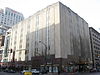
December 24, 1997 2 W. Washington and 2 N. Meridian Sts.
39°46′2″N 86°9′30″W / 39.76722°N 86.15833°W155 West Washington Street Pumping Station 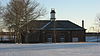
July 17, 1980 801 W. Washington St.
39°46′0″N 86°10′19″W / 39.766667°N 86.17194°W156 Wheeler-Schebler Carburetor Company 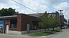
March 22, 2004 1234 Barth Ave.
39°45′0″N 86°8′28″W / 39.75°N 86.14111°W157 John Greenleaf Whittier School, No. 33 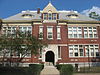
May 28, 1981 1119 N. Sterling St.
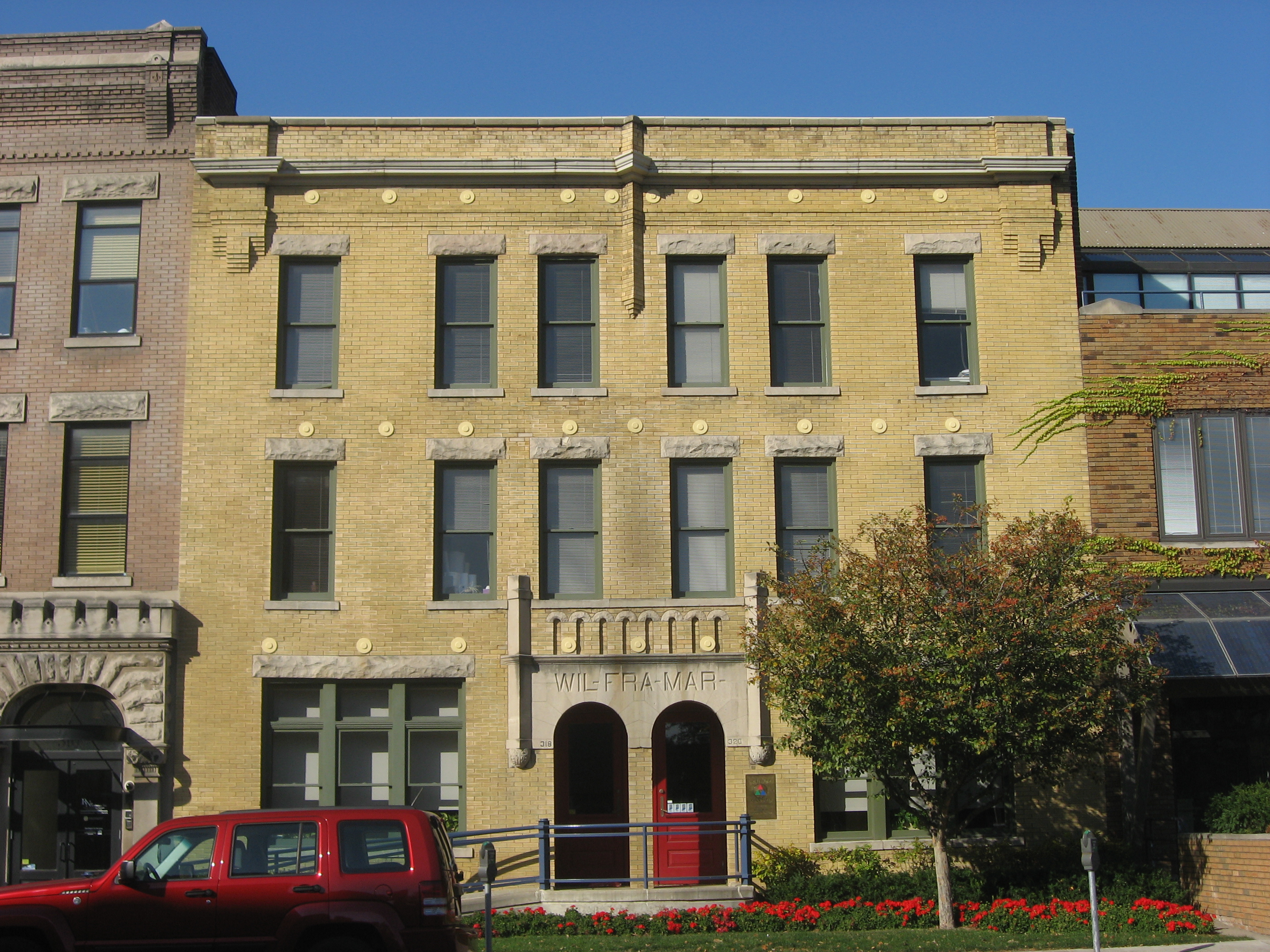
39°46′58″N 86°7′42″W / 39.78278°N 86.12833°W158 The Wil-Fra-Mar 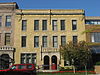
September 15, 1983 318-320 E. Vermont St.
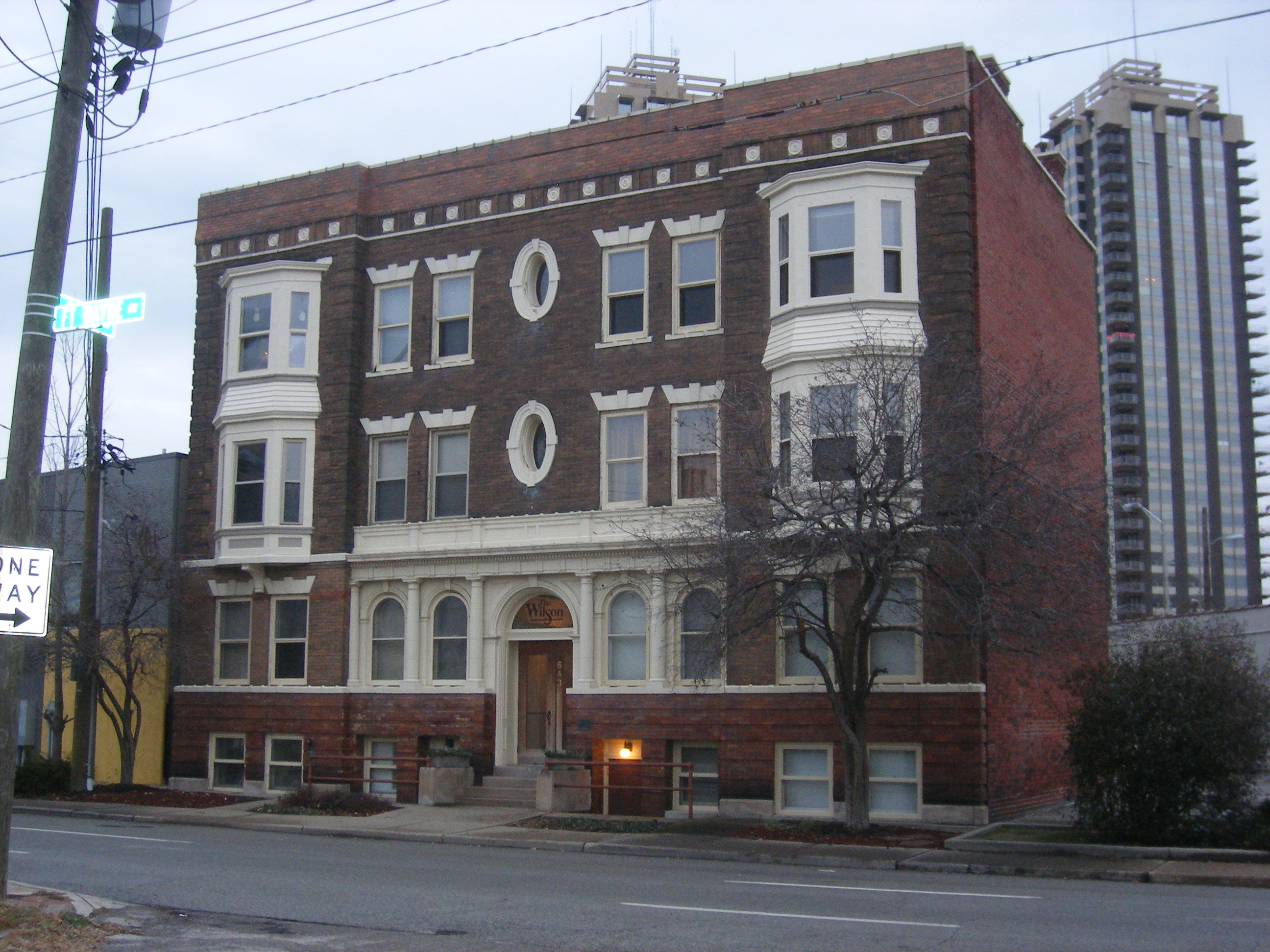
39°46′22″N 86°9′5″W / 39.77278°N 86.15139°W159 The Wilson 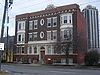
September 15, 1983 643 Ft. Wayne Ave.
39°46′34″N 86°9′17″W / 39.77611°N 86.15472°W160 Woodruff Place 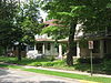
July 31, 1972 Roughly bounded by 1700-2000 E. Michigan and E. 10th Sts.
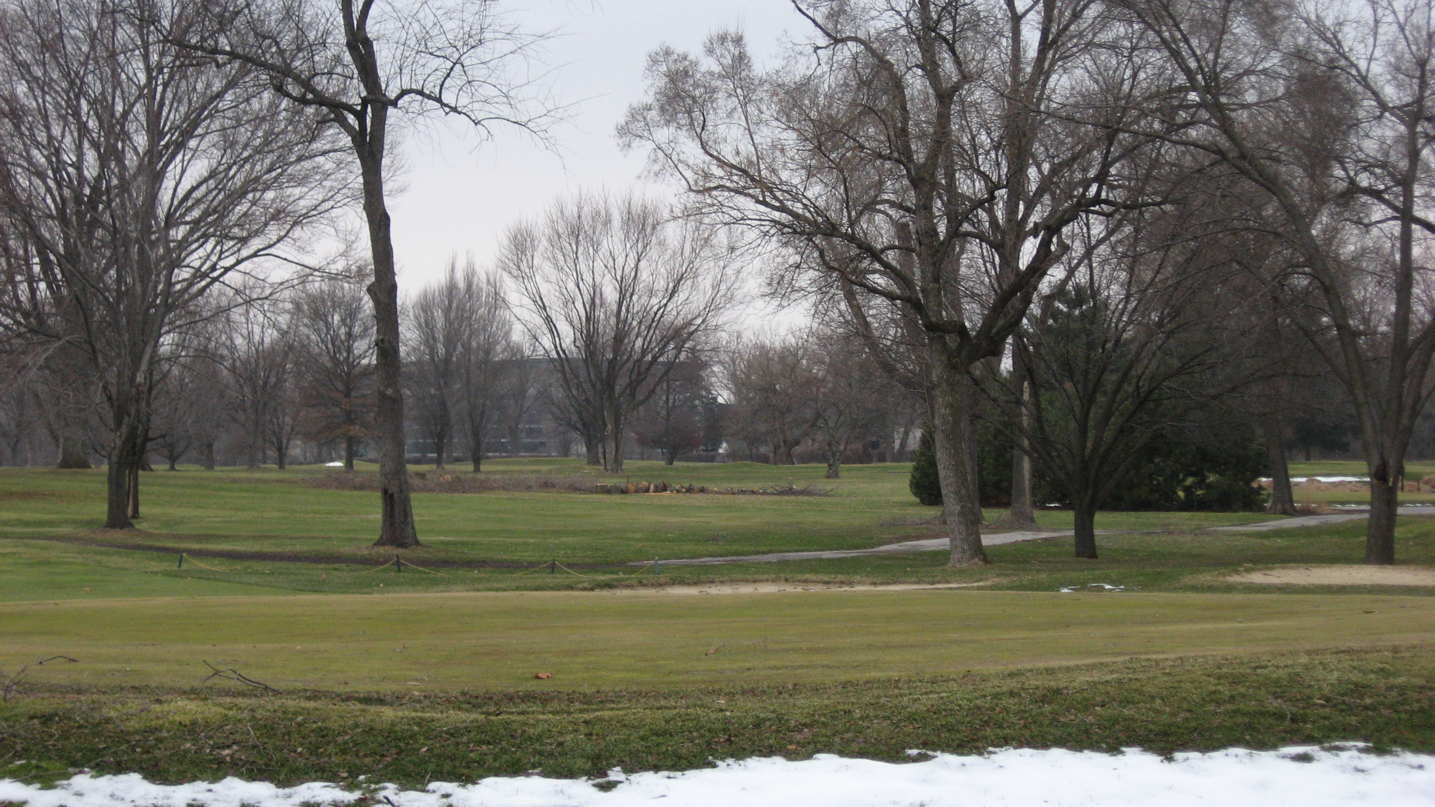
39°46′40″N 86°7′42″W / 39.77778°N 86.12833°W161 Woodstock Country Club 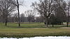
June 21, 2007 1301 W. 38th St.
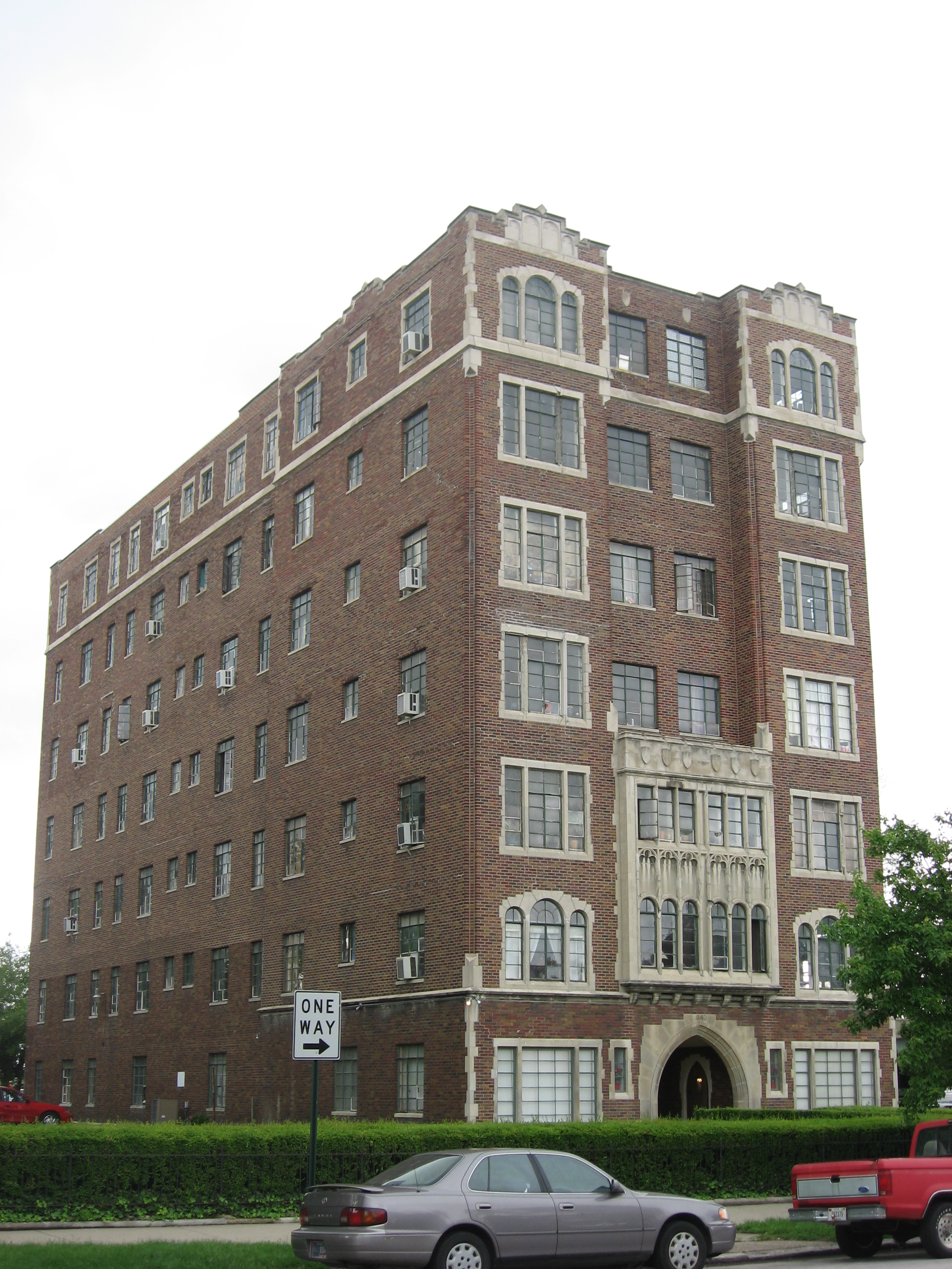
39°49′21.68″N 86°11′2.32″W / 39.8226889°N 86.1839778°W162 The Wyndham 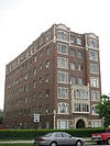
September 15, 1983 1040 N. Delaware St.
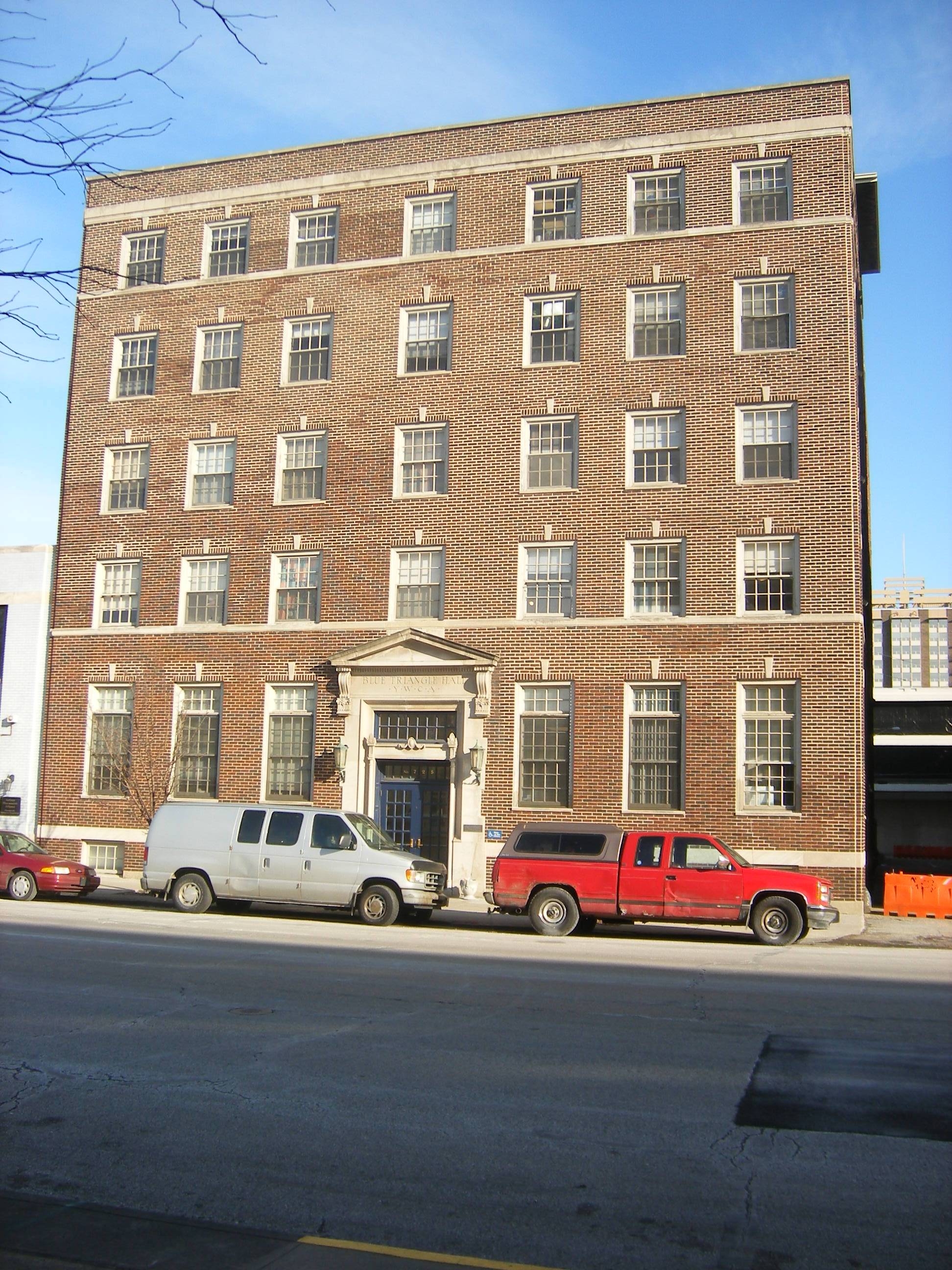
39°46′56″N 86°9′14″W / 39.78222°N 86.15389°W163 YWCA Blue Triangle Residence Hall 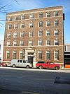
September 27, 1988 725 N. Pennsylvania St.
39°46′39″N 86°9′19″W / 39.7775°N 86.15528°WFormer listings
Landmark name Image Date delisted Location Summary 1 The Chadwick 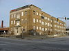
March 21, 2011 1005 N. Pennsylvania St.
39°46′52″N 86°9′19″W / 39.78111°N 86.15528°WListed in 1983. A 1925 apartment building destroyed by fire in January 2011.[6] 2 The Harriett 
June 8, 2011 124-128 N. East St.
39°46′9″N 86°8′57″W / 39.76917°N 86.14917°WListed on the NRHP September 15, 1983; part of the Apartments and Flats of Downtown Indianapolis Thematic Resource 3 Indianapolis Chair Manufacturing Company 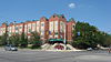
July 16, 1986 330 W. New York St.
39°46′18″N 86°9′52″W / 39.77167°N 86.16444°WListed in 1984 4 Jackson Buildings 
May 24, 1993 419 and 425 E. Washington St.
39°46′2″N 86°8′58″W / 39.76722°N 86.14944°WListed in 1984 5 Maennerchor Building 
January 1, 1974 102 W. Michigan St.
39°46′28″N 86°9′36″W / 39.77444°N 86.16°WListed in 1974 6 P.C.C. & St. L. Railroad Freight Depot February 5, 1997 449 S. Pennsylvania St.
39°45′36″N 86°9′22″W / 39.76°N 86.15611°WListed in 1995 7 Caleb Blood Smith Historic Site 
January 1, 1972 Bounded by Vermont, West, New York, and California Sts.
39°46′19″N 86°10′5″W / 39.77194°N 86.16806°WListed in 1972 See also
- List of National Historic Landmarks in Indiana
- National Register of Historic Places listings in Indiana
References
- ^ The latitude and longitude information provided in this table was derived originally from the National Register Information System, which has been found to be fairly accurate for about 99% of listings. For about 1% of NRIS original coordinates, experience has shown that one or both coordinates are typos or otherwise extremely far off; some corrections may have been made. A more subtle problem causes many locations to be off by up to 150 yards, depending on location in the country: most NRIS coordinates were derived from tracing out latitude and longitudes off of USGS topographical quadrant maps created under North American Datum of 1927, which differs from the current, highly accurate GPS system used by Google maps. Chicago is about right, but NRIS longitudes in Washington are higher by about 4.5 seconds, and are lower by about 2.0 seconds in Maine. Latitudes differ by about 1.0 second in Florida. Some locations in this table may have been corrected to current GPS standards.
- ^ "National Register of Historic Places: Weekly List Actions". National Park Service, United States Department of the Interior. Retrieved on November 10, 2011.
- ^ Numbers represent an ordering by significant words. Various colorings, defined here, differentiate National Historic Landmark sites and National Register of Historic Places Districts from other NRHP buildings, structures, sites or objects.
- ^ "National Register Information System". National Register of Historic Places. National Park Service. 2009-03-13. http://nrhp.focus.nps.gov/natreg/docs/All_Data.html.
- ^ Specific address derived from Hermansen, David R., and Wesley I. Shank. National Register of Historic Places Inventory/Nomination: L.S. Ayres Annex Warehouse. National Park Service, 1971-08-01. The NRIS lists the building simply as being on Maryland St., without indication as to its east/west direction or to its street address.
- ^ Dobbins, Lindy (January 25, 2011). "Historic building demolished after fire". wthr.com. Indianapolis, Indiana. http://www.wthr.com/story/13906892/demolished-building-seen-as-eyesore. Retrieved January 26, 2011.
U.S. National Register of Historic Places Topics Lists by states Alabama • Alaska • Arizona • Arkansas • California • Colorado • Connecticut • Delaware • Florida • Georgia • Hawaii • Idaho • Illinois • Indiana • Iowa • Kansas • Kentucky • Louisiana • Maine • Maryland • Massachusetts • Michigan • Minnesota • Mississippi • Missouri • Montana • Nebraska • Nevada • New Hampshire • New Jersey • New Mexico • New York • North Carolina • North Dakota • Ohio • Oklahoma • Oregon • Pennsylvania • Rhode Island • South Carolina • South Dakota • Tennessee • Texas • Utah • Vermont • Virginia • Washington • West Virginia • Wisconsin • WyomingLists by territories Lists by associated states Other  Category:National Register of Historic Places •
  Portal:National Register of Historic PlacesCategories:
- National Register of Historic Places in Indianapolis, Indiana
-












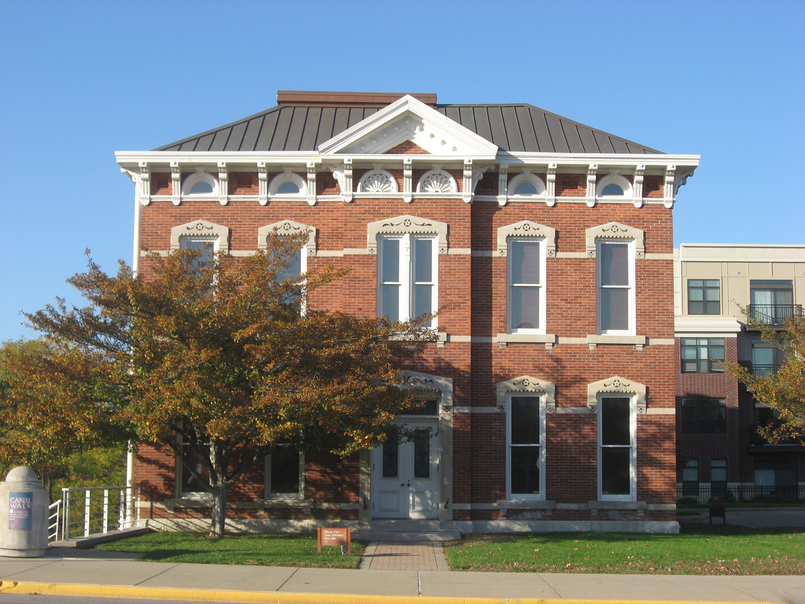
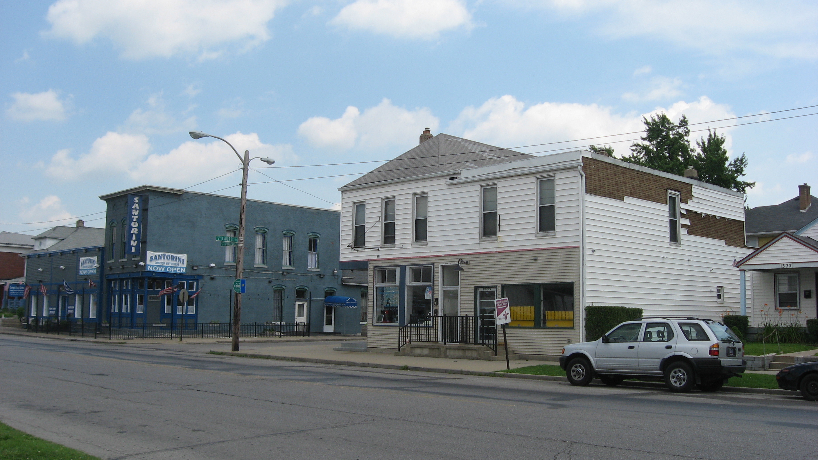
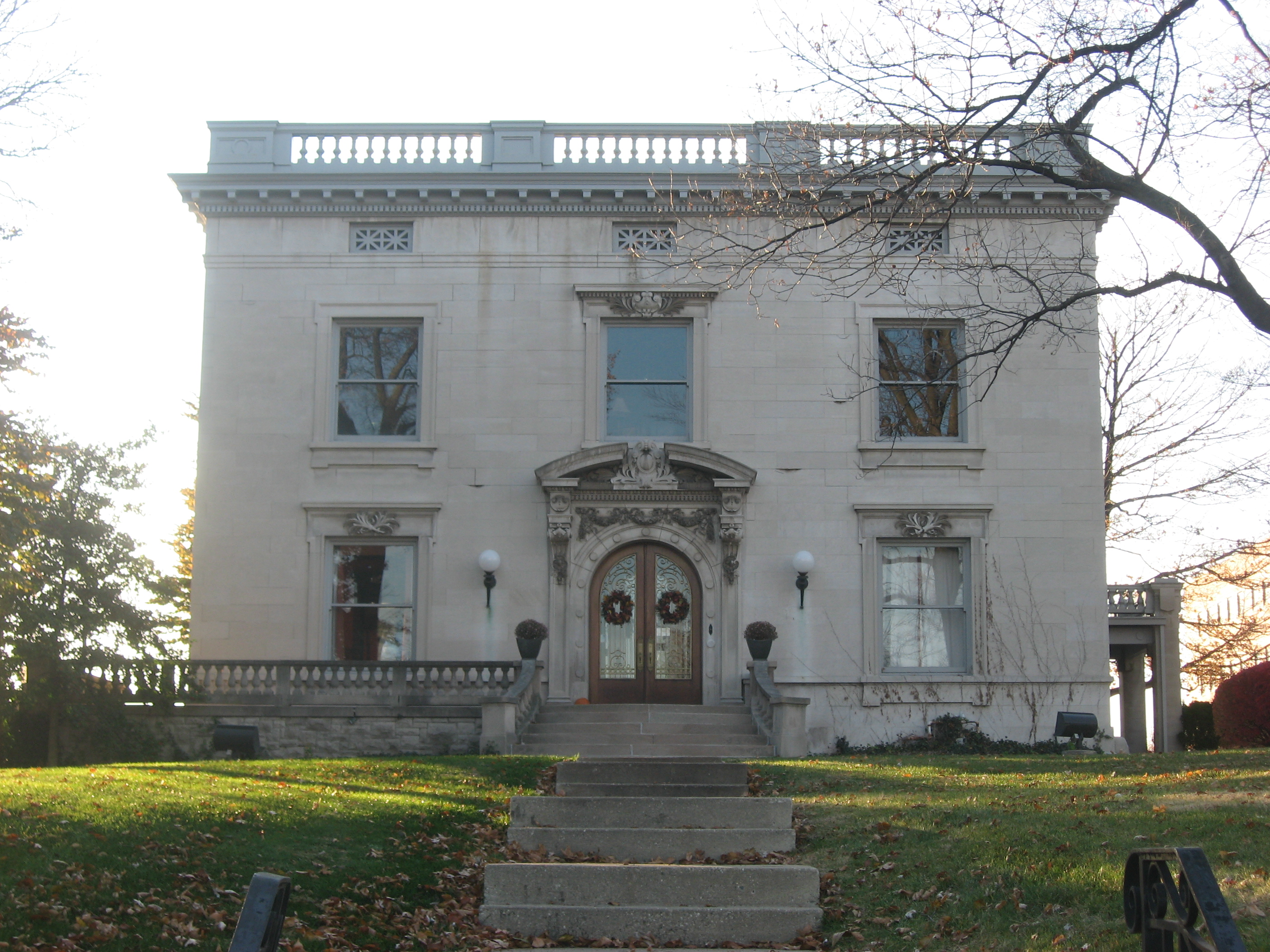























Wikimedia Foundation. 2010.
