- Tekantó Municipality
-
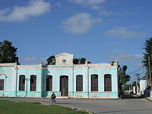
Tekantó — Municipality — Municipal Building of Tekantó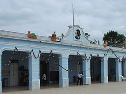

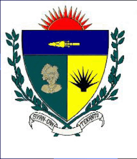
Coat of armsMotto: Siyan Kán Tekantó (Illustrious Tekantó) Location of the Tekantó municipality in Yucatán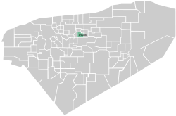 Location of the Tekantó municipality in Mexico
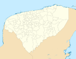
 Tekantó
Coordinates: 21°01′N 89°06′W / 21.017°N 89.1°WCoordinates: 21°01′N 89°06′W / 21.017°N 89.1°W Country  Mexico
State  Yucatán
Mexico Ind. 1821 Yucatan Est. 1824 Municipality Est. 1900[1] Named for Place of the yellow flint[2] Government – Type  2007-2010
– Municipal President Fernando Che Canul[1] Area – Total 47.25 km2 (18.2 sq mi) [1] Elevation[1] 10 m (33 ft) Population (2009[1]) – Total 4,079 – Density 86.3/km2 (223.6/sq mi) – Demonym Tekantence Time zone Central Standard Time (UTC-6) – Summer (DST) Central Daylight Time (UTC-5) Postal Codes Tekanto 97520, Tixkochoh 97522 Area code(s) 991 Population History by YearINEGI Code 078 Major Airport Merida (Manuel Crescencio Rejón) International Airport IATA Code MID ICAO Code MMMD Website Nuestros municipios - Tekantó Municipalities of Yucatán Tekantó (In the Yucatec Maya Language: “Place where there is yellow flint”)[2] is a small (47.25 km²)[1] municipality in the Mexican state of Yucatan. The municipality was formed in 1900[1] and its municipal seat is the homonymous locality of Tekantó, at the end of highway 80, 54 km east of Merida.
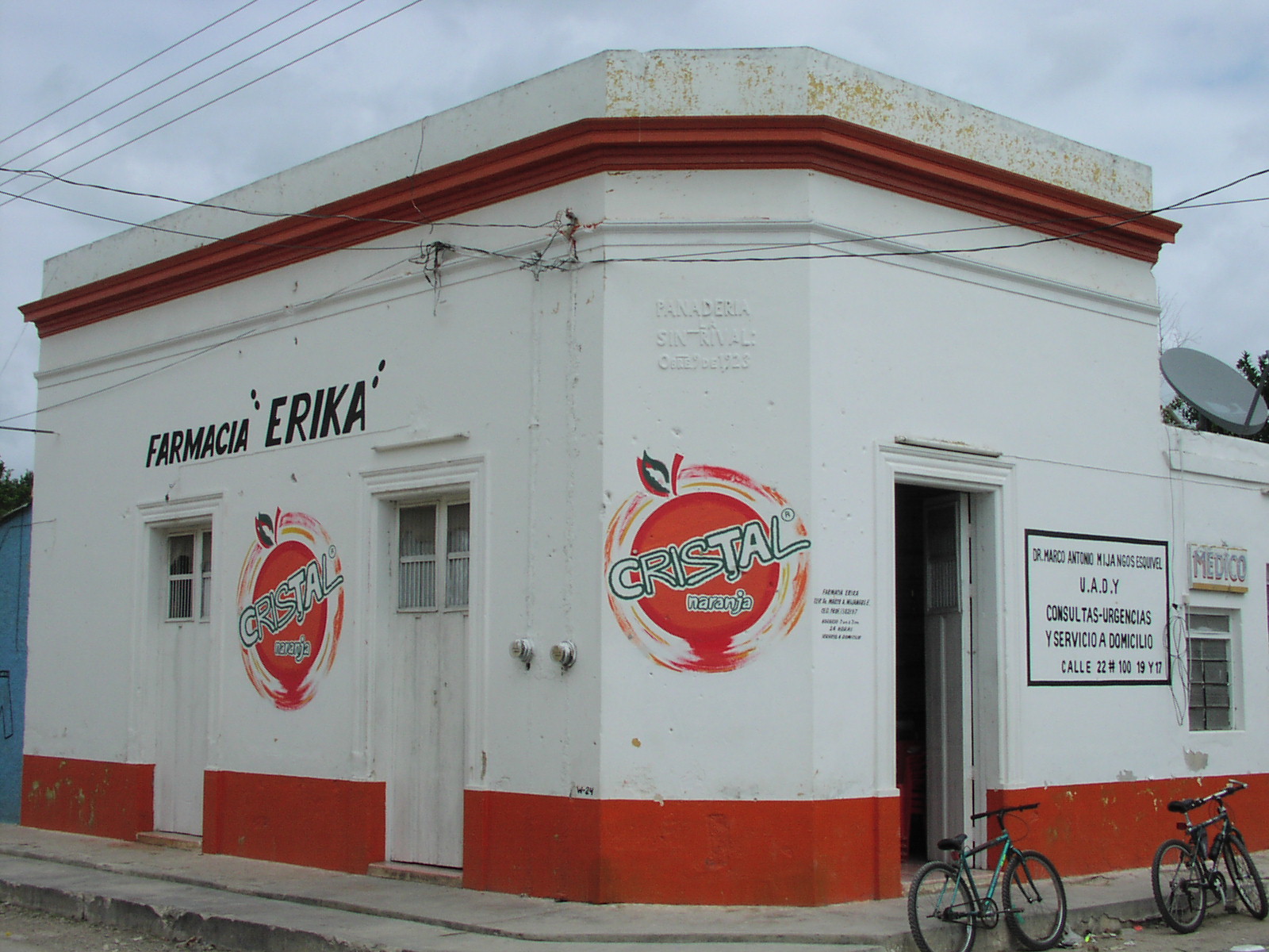
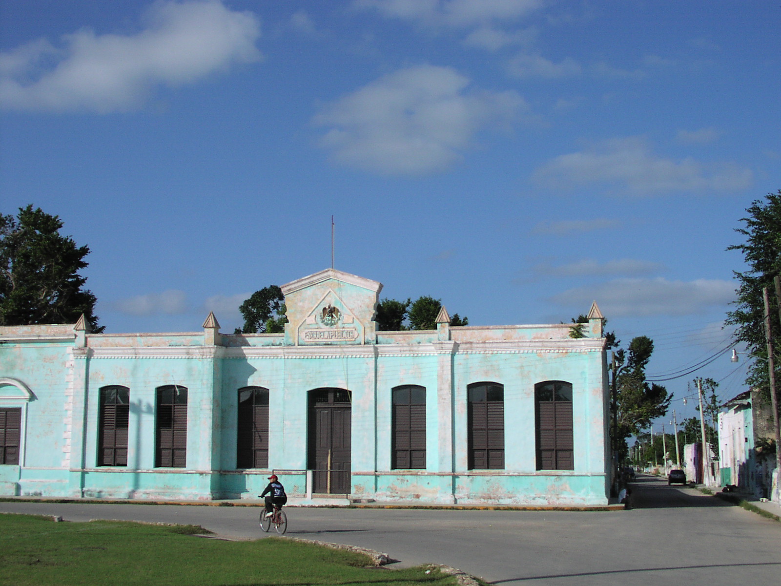
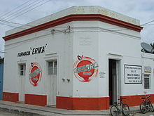 A typical shop in Tekantó, these buildings date back to the 1920s
Contents
Borders
The municipalities that surround the municipality of Tekantó are to the north: Suma and Teya, to the south: Izamal, to the east: Tepakán and to the west: Bokobá.
Shield
In 1990 the Mexican federal government asked all the municipalities to have their own shield or coat of arms. The City council then presided over by C. Manuel González Towers, decided to hold a contest to produce the shield's design. The design was adapted from submissions by several people. Some notable features of the shield are as follows. A sun with 13 rays that indicate the Mayan supraworld. An illustration of the Mayan chief Ah Kin Chel on a green background. Gold background with henequen that has 9 blades, that means the Mayan infraworld, the color gold has economic importance. At either side two branches interlaced by a plant called Kantó and that some say gave rise to the name of the town. At the bottom of the shield in front of the branches is a tape of silver with the words Siyan Kán Tekantó, this means the illustrious or famous Tekantó.[3]
Population
The population of Tekantó is approximately 4,000.[1] In the year 2000 the census record showed that 1,655 people spoke the indigenous language, Yucatec Maya.[4] This is consistent with the state average which was 30% in 2000.
Communities
The municipality is made up from four principle communities, the municipal seat Tekantó along with its neighboring communities Tixkochoh 21°00′50″N 89°04′50″W / 21.0138°N 89.0806°W, San Francisco Dzon 20°59′01″N 89°08′36″W / 20.9835°N 89.1433°W and Sanlatah 21°02′33″N 89°08′48″W / 21.0426°N 89.1466°W). Their populations are as follows: Tekantó 3224, Tixkochoh 455, San Francisco Dzon 127, Sanlatah 83; the census also included 53 people living outside of these communities,[1] either in isolated rural homes or small communities like the hamlet of San Diego Rodriguez 20°59′32″N 89°06′51″W / 20.9923°N 89.1143°W. In 2005 there were 942 houses in the municipality.[5]
Nearby cities
The distances from the municipal seat to nearby cities are as follows:
- Izamal, Yucatán · 13 kilometres (8.1 mi) southeast · 14,954 people.
- Motul, Yucatán · 21 kilometres (13 mi) west-northwest · 21,109 people.
- Merida,Yucatán · 54 kilometres (34 mi) west · 717,175 people.
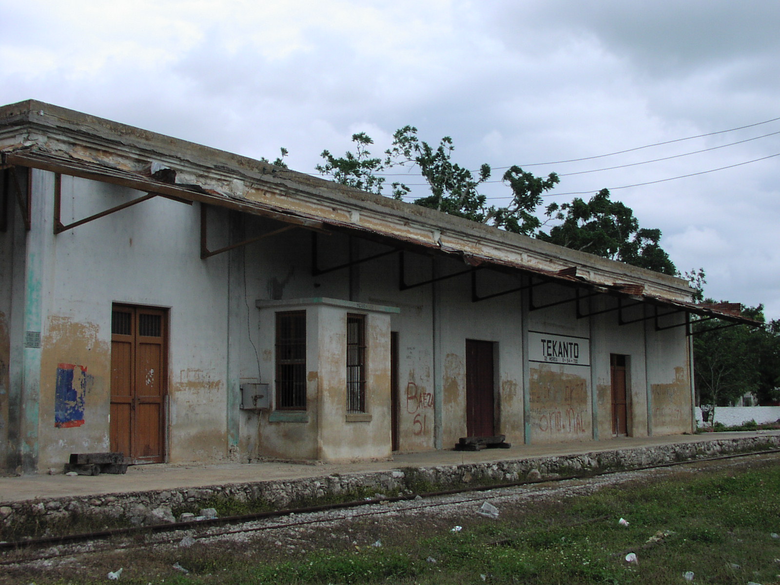
Tekantó's rail station is on the (now disused) rail line that runs between Mérida and Valladolid via Izamal.
Climate and Ecosystems
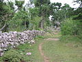
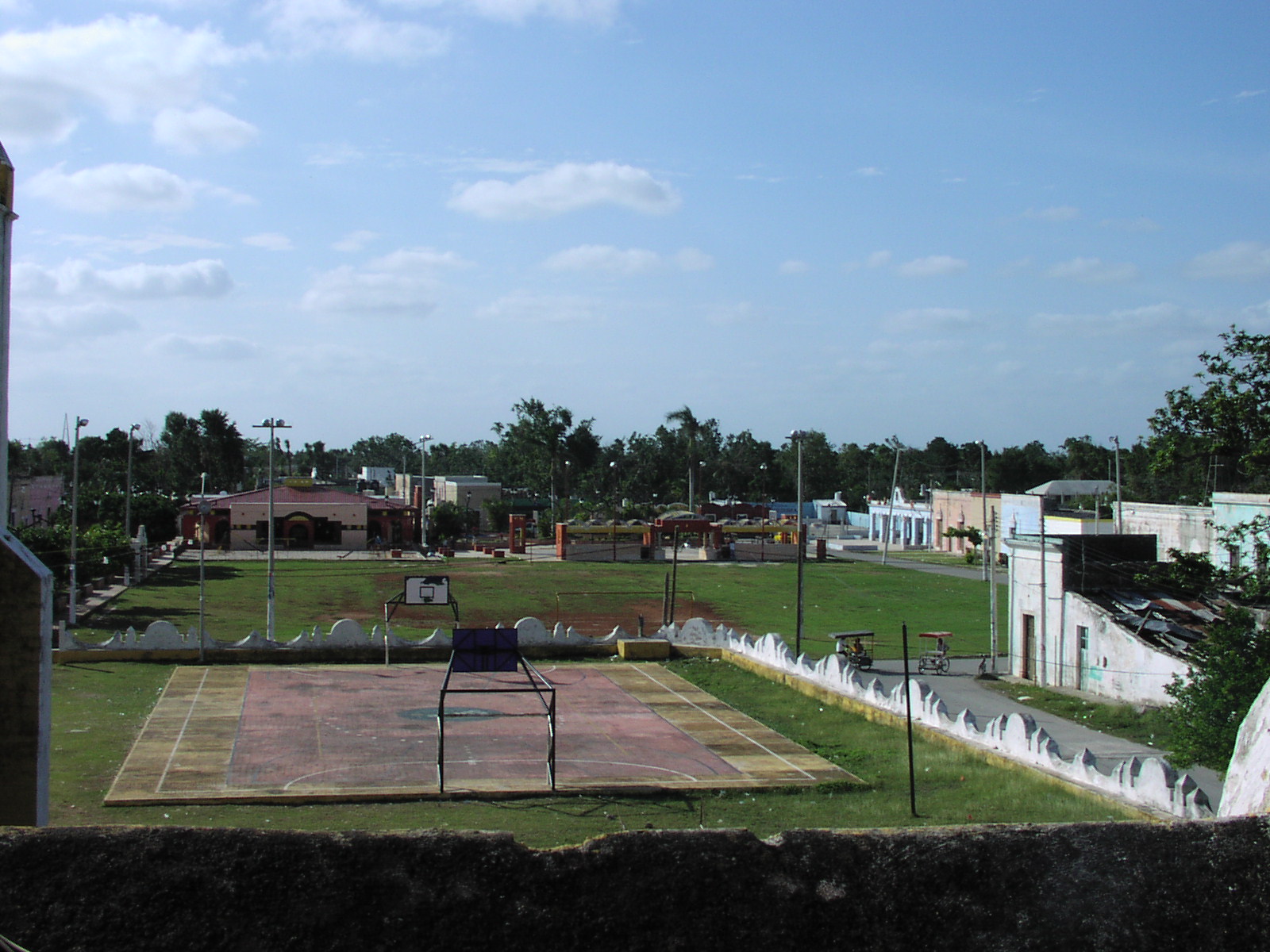
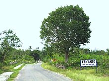 Road leading into the Tekantó locality
Climate
Warm, with rains during the early summer followed by droughts during the late summer. The annual average temperature is of 26.5°C and the annual average rainfall is 50 millimeters. The winds are predominately from the northeast. Relative humidity Annual Average, March 66% - December 89%. The Rainy Season is May through July.[1]
Flora and fauna
Small portions of non-evergreen low forest with secondary vegetation in the ends northeast and the northwest. Including: poppy, bojom, ceiba, chehem, chichibé, pochote and flamboyán. The common animal species that are found in the area include: rabbit, raccoon, deer, armadillo, various snakes, iguanas and turtles; birds: dove, tzutzuy, quail and tórtola.[1]
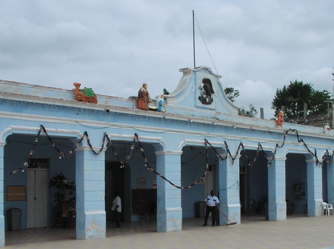
Places of Interest and Tourism
Architectural
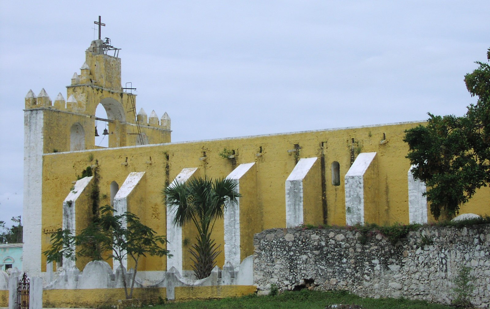
San Augustin Tekantó is an impressive building and one of the largest churches in the Yucatan outside of Merida; it was an important early Franciscan Convent in this region.
 Santo Christo de Citilcún
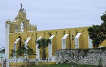 San Augustin Tekantó, as seen from the south
The original mission dates from 1567. According to an inscription on the facade, the church was completed in 1688, over a hundred years after the mission's founding.[2] Near to Tekantó are the hamlets of the ex-properties: Sanlatah and San Francisco Dzon.
Popular Celebrations
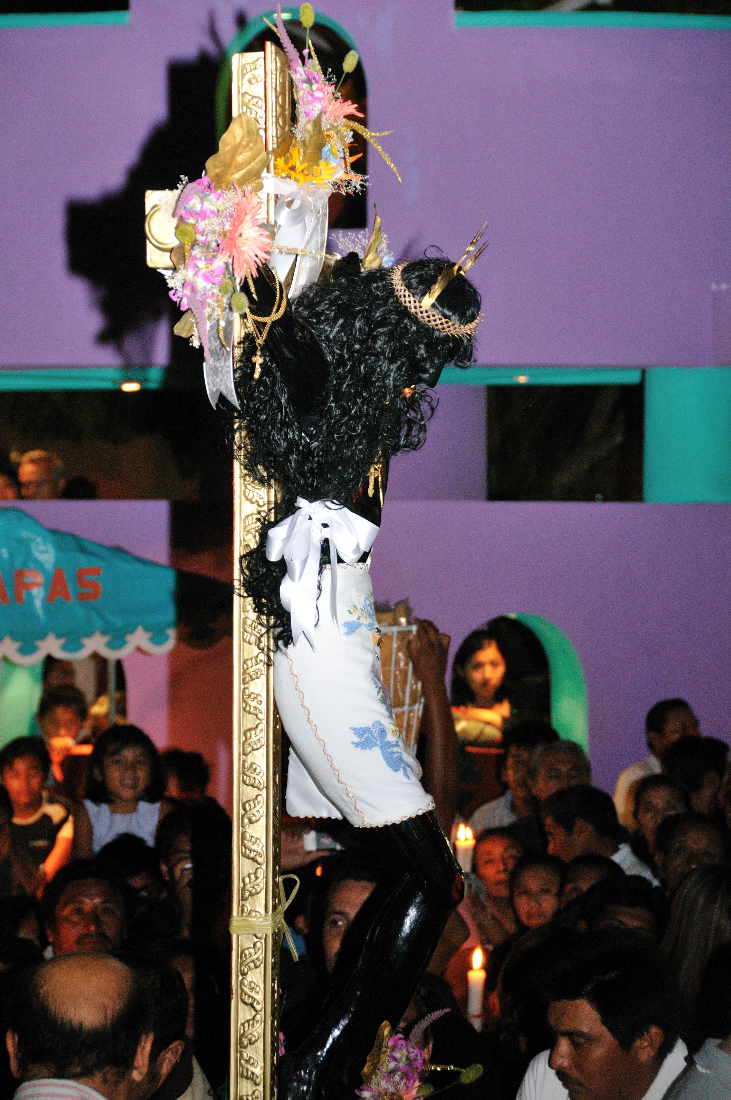
From 26 to 28 August an annual fiesta is held in honor of the patron saint of Tekantó, San Augustin.
Between 15 and 26 November, an annual fair is held to celebrate Santo Christo de Citilcún. On November 15 each year a procession brings Santo Christo de Citilcún to Tekantó, after the procession there are firework displays and food for sale in the town square. Towards the end of the month there are various festivities including folk dancing, hosted at the town hall; an impromptu bullfighting ring is set up to host bull fights and other events.
Surrounding Area
The ruins of Ake are 20 km to the south west of the locality of Tekanto, and Izamal with its world famous monastery, Victorian era carriages, and mesoamerican pyramids is only 13 km to the south east.
History
- Before the conquest of Yucatán the region of Tekantó was part of the chieftainship of Ah Kin Chel (1441–1543).
- 1546: The Spanish conquest of Yucatán that started in 1526 is considered complete.
- 1567: Franciscan Mission founded in Tekantó.[2]
- 1581: Cristobal Sanchez inherits both Tekantó and Tepakan under the encomienda system from his father, the famous conquistador Don Diego Sanchez.[6]
- 1688: Construction of the convent and mission of San Augustin Tekantó is completed.[2]
- 1700: Antonia Pacheco and Juan N. Calderón are responsible for Tekantó under the encomienda system.[7]
- 1720: The legality of the Encomienda system is ended and is succeeded by the Hacienda system in which laborers were directly employed by the hacienda owners (Sanlatah is a Hacienda in Tekantó municipality).[8]
- 1821: Yucatán declares itself independent of Spain.[9]
- 1825: During this time Tekantó was in the partido of La Costa, which had Izamal as its capital. (At this time Yucatán was divided up onto 15 partidos or subdelegaciones, and Yucatan then included what is now Campeche).[10]
- 1848: On May 28 during the Caste War of Yucatán after a 6 day siege Colonel Bello led his force of 1,000 men out of Izamal taking a back trail to Tekantó. From Tekantó he watched Izamal burn.[11]
- 1900: The municipality of Tekantó is created and Tekantó becomes its own municipality seat.[1]
Economy
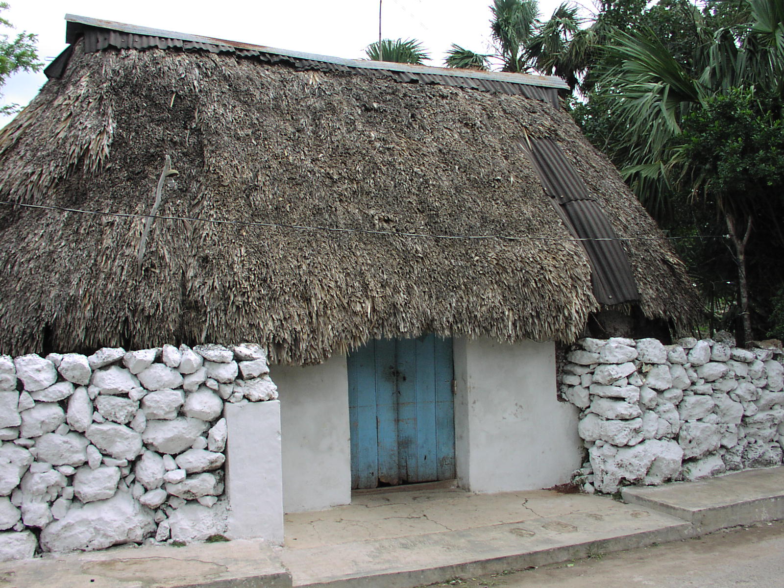
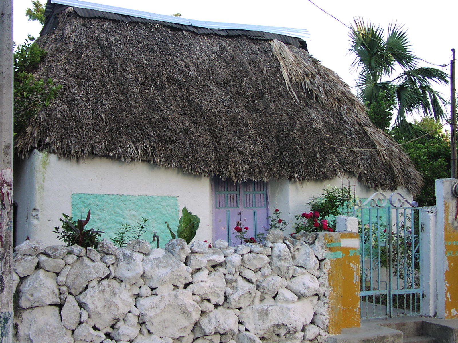
 Traditional House in Tekantó
 Railway Station in Tekantó
Tekantó is a municipality that is located in the North central zone of Yucatan that is part of the denominated henequen zone, where the main agricultural crop is agave. Along with the surrounding municipalities the major productive activity for many years, until the end of the 20th Century, was the henequen industry.
With the decline of the henequen industry, a process of economic diversification occurred in Tekantó. Today in this area maize is main crop, along with kidney beans, various vegetables, watermelon and some varieties of chili peppers. In addition to these crops, pigs and poultry are farmed. Beekeeping is also common in the area.
Photo gallery
-

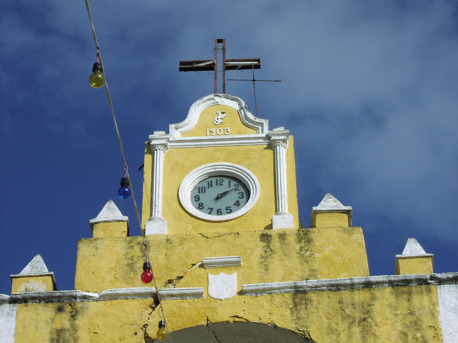
The clock over San Augustin Tekantó.
-
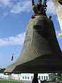
San Augustin Tekantó's Franciscan Bell.
-
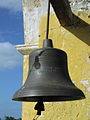
San Augustin Tekantó's American Bell.
-
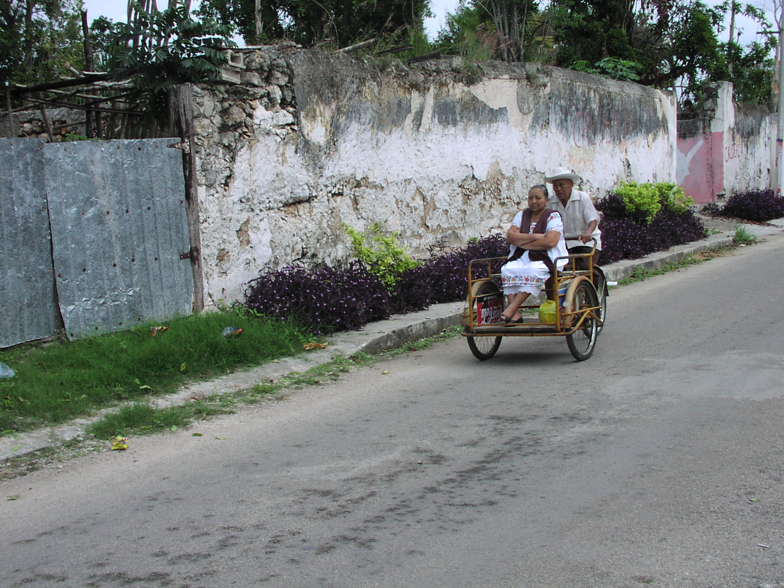
Local people in traditional dress.
-
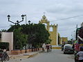
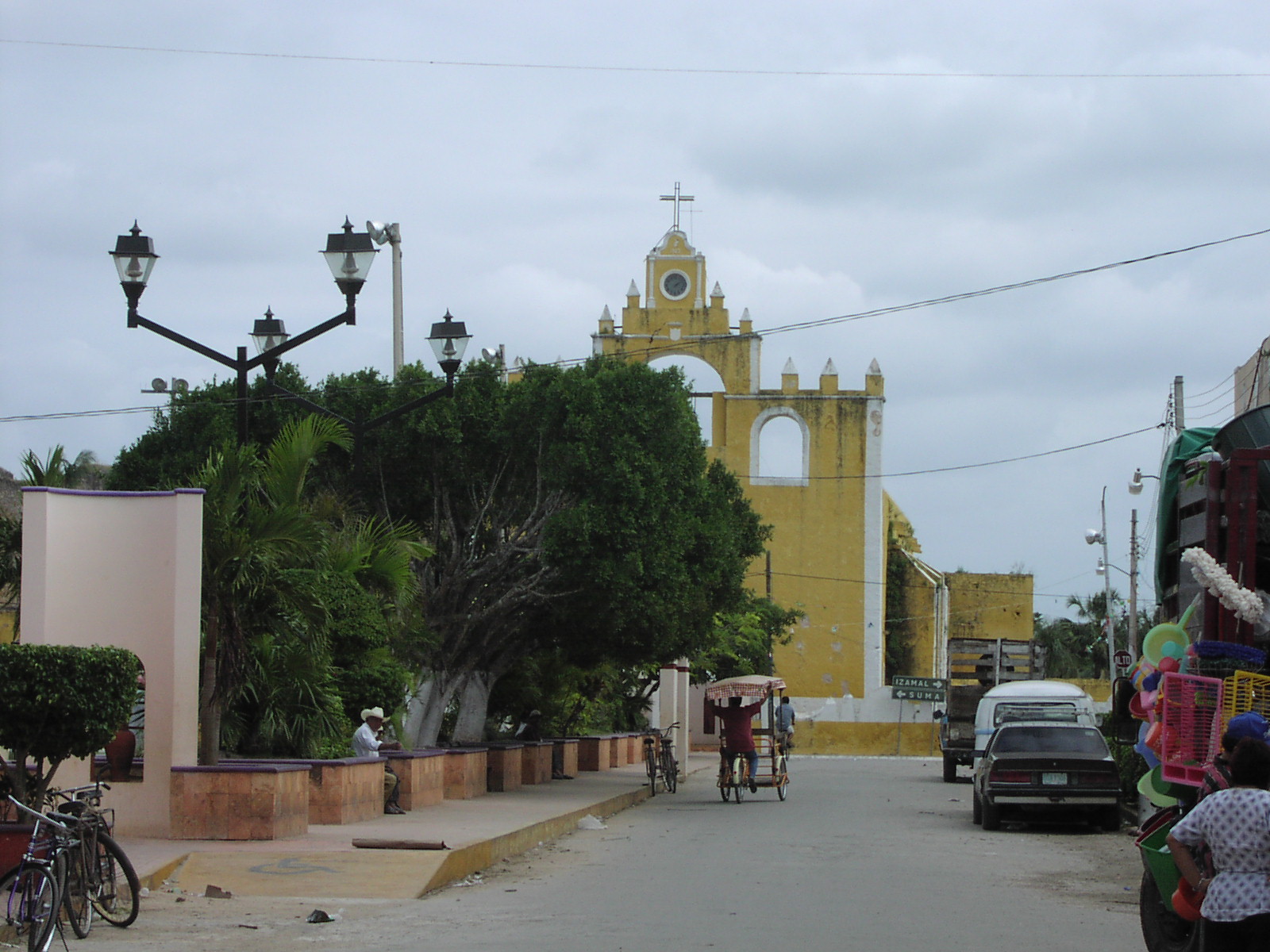
Downtown Tekantó.
-
A nicer home in Tekantó.
-
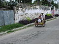
A typical rural street.
-
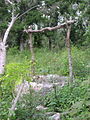
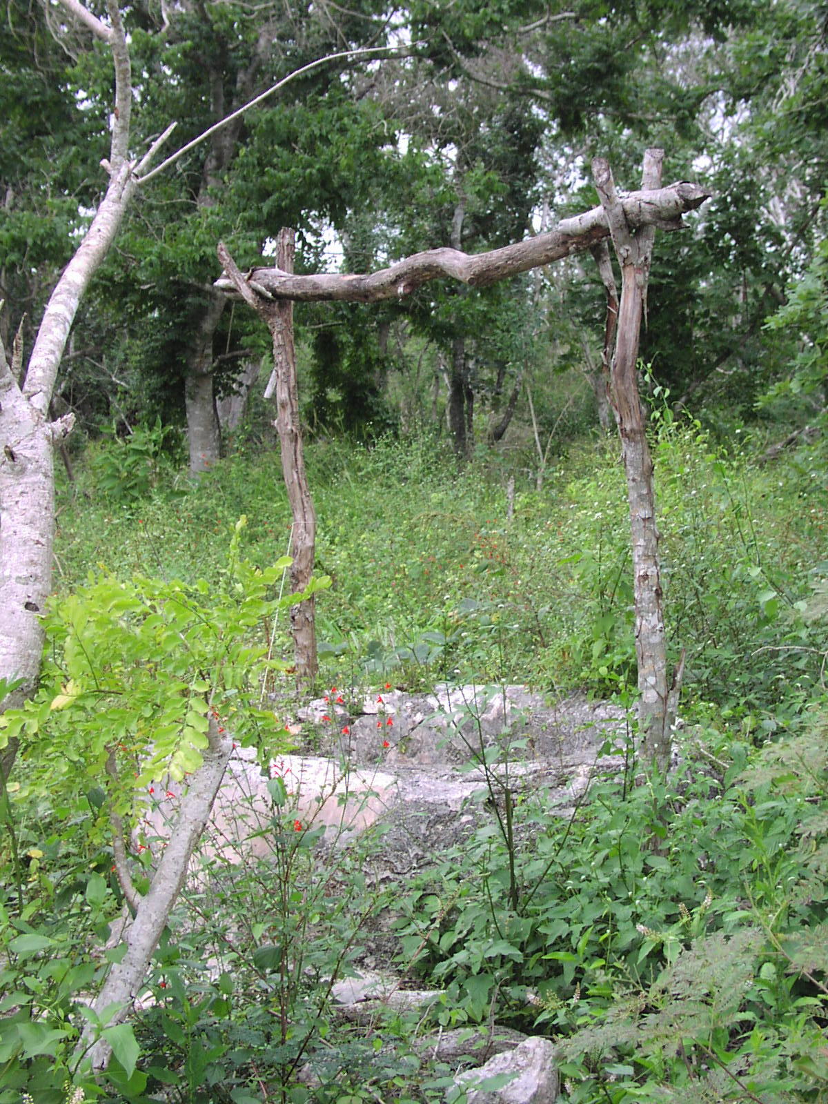
A Well at the edge of town.
-
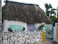
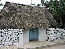
A traditional Cottage.
-
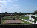
The Zócalo (Main Plaza).
Notables
Notable locals include Marrufo Cetina, Carlos Anastasio. Mandolinista and musical composer (1875–1932).[1]
Education
Number of schools by educative level, to the year 2000, according to the Statistical Yearbook of the State of Yucatan, published by the INEGI:[1]
 Guillermo Prieto School
Name of School Locality Level Student population FRANCISCO I. MADERO Tekantó Pre-school 89 PREESCOLAR COMUNITARIO San Francisco Dzon Pre-school 6 SAYABI HA Tixkochoh Pre-school 21 ANDRES QUINTANA ROO Tekantó Primary 164 GUILLERMO PRIETO Tekantó Primary 247 PRIMARIA COMUNITARIA San Francisco Dzon Primary 27 PIPILA Tixkochoh Primary 47 GUILLERMO PRIETO Tekantó Secondary 223 Notes
Spelling of Mayan Names:
The spelling of Mayan names (family names, place names and others) will often vary from document to document,[12] for this page the spellings used on the municipality web site have been adopted as the standard. Another recommended standard for place names is the SCT (Secretaria de Comunicaciones y Transportes) spelling, as this would then match any road signs. As there are more references to the municipality web site, the SCT spellings are not used throughout the page, but included below for reference.
San Francisco Dzon is also known as San Francisco Tzon (INEGI) and San Francisco Izun (SCT)[13]
Sanlatah is also known as Sanlatá (SCT).[13]
See also
References
- ^ a b c d e f g h i j k l m n "Nuestros municipios - Tekantó". http://www.yucatan.gob.mx/estado/municipios/31078a.htm#. Retrieved 2009-10-21.
- ^ a b c d e Perry, Richard D. Maya missions: exploring colonial Yucatan, page 212. Espadaña Press, 2002. ISBN 0-9620811-9-1
- ^ "Galería de Escudos Mesoamericanos". http://www.heraldicamesoamericana.com.mx/galeria.htm#tekanto. Retrieved 2009-10-22.
- ^ "De acuerdo al XII Censo General de Población y Vivienda 2000 efectuado por el INEGI". http://www.inegi.org.mx/inegi/default.aspx?s=est&c=11448&e=&i=. Retrieved 2009-10-22.
- ^ "Enciclopedia de Municipios de México". http://www.e-local.gob.mx/work/templates/enciclo/yucatan/. Retrieved 2009-10-22.
- ^ Loveland Roys,Ralph The political geography of the Yucatan Maya Page 86. Carnegie Institution of Washington (1957). ASIN B0012KNZKY
- ^ Los Municipios de Yucatán p.396. Secretaría de Gobernación, 1988 (Spanish)
- ^ Alfred J. Andrea, James H. Overfield. The Human Record: Since 1500 p.75. Houghton Mifflin, 1998
- ^ John Macgregor Commercial statistics: A digest of the productive resources, commercial p.1217. Whittaker and co., 1850
- ^ Thompson, Philip C. Tekantó, a Maya Town in Colonial Yucatan, page 14. Middle American Research Institute , 2000. ISBN 0-939238-97-7
- ^ Reed, Nelson The caste war of Yucatán, page 95. Stanford Univ Press (June 1964). ISBN 0-8047-0164-4
- ^ Thompson, Philip C. Tekanto, a Maya Town in Colonial Yucatan, page 9. Middle American Research Institute , 2000. ISBN 0-939238-97-7
- ^ a b "SCT Map of Yucatan" (pdf). http://dgp.sct.gob.mx/fileadmin/Atlas/yucatan.pdf. Retrieved 2009-10-23.
Topics 
Metros Larger cities Smaller cities Akil · Tzucacab · Tekit · Halachó · Tecoh · Dzidzantún · Seyé · Buctzotz · Caucel · Conkal · Cacalchén · Celestún · Temax · Temozón · Homún · Dzilam González · Kinchil · Teabo · Sotuta · Panabá · Cholul · Chichimilá · Itzincab · Hoctún · X-Can · Dzan · Pisté · Huhí · Cansahcab · Baca · Chocholá · Opichén · Hocabá · Maní · Chicxulub · Popolá · Komchén · Tetiz · Sucilá · Cuzamá · Timucuy · Ixil · Kimbilá · Kantunil · Sacalum · Tahmek · Telchac Pueblo · Tixpéhual · Santa Elena · Tahdziú · Popolnáh · Tixcacalcupul · Chablecal · Tekantó · Cenotillo · San José Tzal · Dzemul · Chelem
Municipalities Abalá · Acanceh · Akil · Baca · Bokobá · Buctzotz · Cacalchén · Calotmul · Cansahcab · Cantamayec · Celestún · Cenotillo · Chacsinkín · Chankom · Chapab · Chemax · Chicxulub Pueblo · Chichimilá · Chikindzonot · Chocholá · Chumayel · Conkal · Cuncunul · Cuzamá · Dzan · Dzemul · Dzidzantún · Dzilam de Bravo · Dzilam González · Dzitás · Dzoncauich · Espita · Halachó · Hocabá · Hoctún · Homún · Huhí · Hunucmá · Ixil · Izamal · Kanasín · Kantunil · Kaua · Kinchil · Kopomá · Mama · Maní · Maxcanú · Mayapán · Mérida · Mocochá · Motul · Muna · Muxupip · Opichén · Oxkutzcab · Panabá · Peto · Progreso · Quintana Roo · Río Lagartos · Sacalum · Samahil · Sanahcat · San Felipe · Santa Elena · Seyé · Sinanché · Sotuta · Sucilá · Sudzal · Suma · Tahdziú · Tahmek · Teabo · Tecoh · Tekal de Venegas · Tekantó · Tekax · Tekit · Tekom · Telchac Pueblo · Telchac Puerto · Temax · Temozón · Tepakán · Tetiz · Teya · Ticul · Timucuy · Tinúm · Tixcacalcupul · Tixkokob · Tixméhuac · Tixpéhual · Tizimín · Tunkás · Tzucacab · Uayma · Ucú · Umán · Valladolid · Xocchel · Yaxcabá · Yaxkukul · Yobaín
Categories:- Municipalities of Yucatán
- Populated places in Yucatán
- Tourism in Mexico


Wikimedia Foundation. 2010.