- California County Routes in zone J
-
There are 45 routes assigned to the "J" zone of the California Route Marker Program, which designates county routes in California. The "J" zone includes county highways lying in the counties of Alameda, Calaveras, Contra Costa, Fresno, Kern, Inyo, Mariposa, Merced, Sacramento, San Benito, San Joaquin, Stanislaus, and Tulare.
J1
County Route J1
Location: Fresno – San Benito Counties County Route J1 is a county road in San Benito and Fresno Counties. The route begins in Paicines, San Benito County, at State Route 25. Between Paicines and Panoche Valley, J1 is known as Panoche Road. Its north–south portion between Panoche Valley and Fresno County is called Little Panoche Road. In Fresno County, the route then intersects with Interstate 5 and terminates in Mendota at State Route 33 near State Route 180 in the Central Valley. East of Interstate 5, the alignment of J1 follows Fresno County's West Shields Avenue (which is Exit 379 off of Interstate 5). Shields Avenue ends at North Fairfax Avenue. J1 continues south two miles (3 km) on Fairfax Avenue to West Belmont Avenue, at which location J1 proceeds east on Belmont Avenue until its end at State Routes 33 and 180.
Panoche Road lies within the corridor of an unbuilt Route 180 segment. No current plan exists to extend Route 180 westward from Mendota westward past Interstate 5 and into San Benito County [1].
-

Paicines General Store.
-
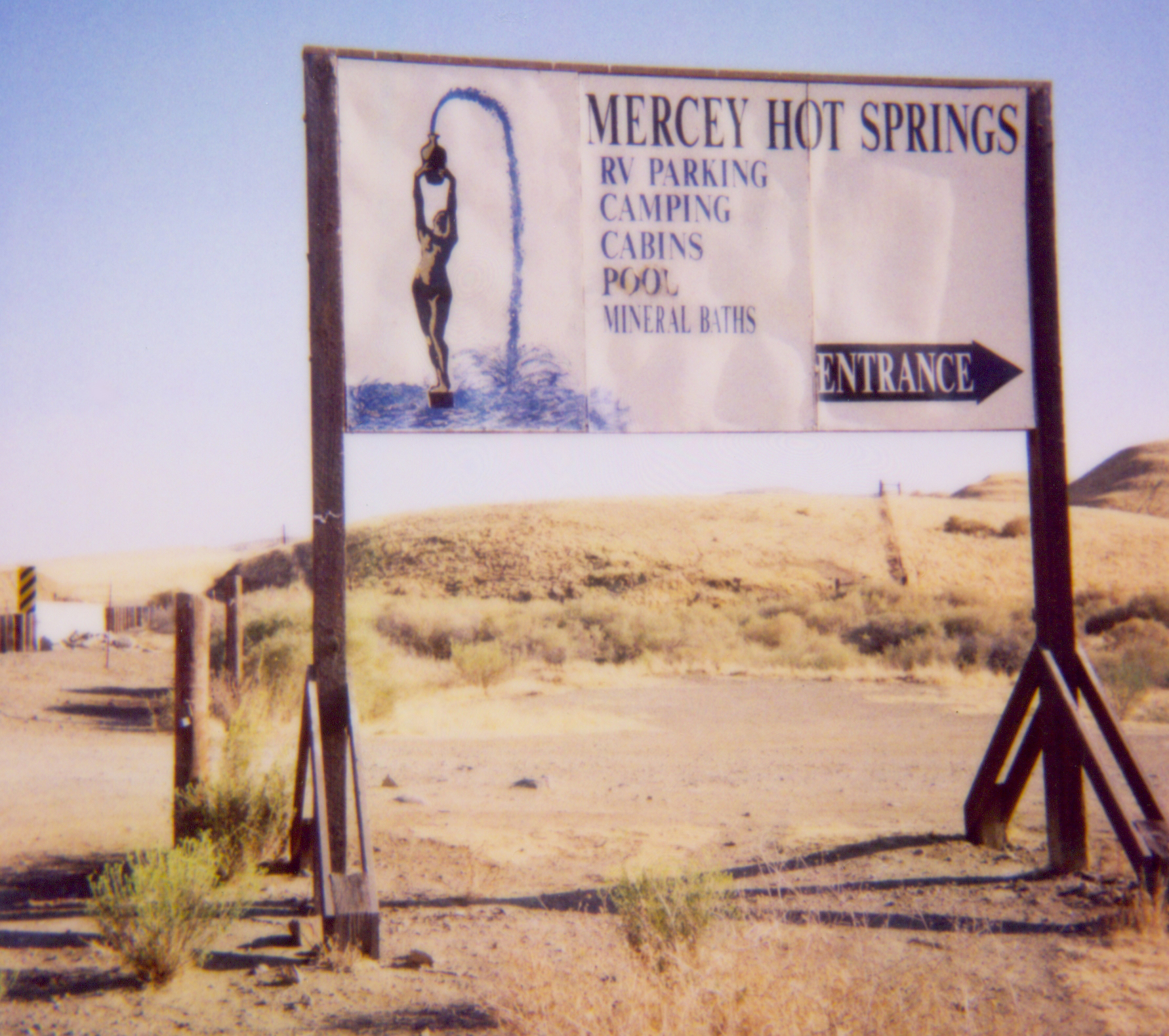
Mercey Hot Springs Resort sign.
J2
County Route J2
Location: Alameda – San Joaquin Counties County Route J2 is a series of streets and roads in the California counties of Alameda and San Joaquin.
J2 begins at Interstate 580's interchange with Portola Avenue in Livermore. The route follows Portola to Livermore Avenue, where J2 turns southward to pass through Livermore's downtown. The highway continues past the southeast edge of Livermore to become Tesla Road and rise into the Diablo Range, which separates the outer San Francisco Bay Area from the San Joaquin Valley.
At the Alameda-San Joaquin county line, J2 becomes Corral Hollow Road and enters the narrow valley of the same name. Upon approaching the San Joaquin Valley, the road turns northward, meeting Interstate 580 again and arriving at the southern subdivisions of Tracy. After passing through this city, the road intersects Interstate 205, shifts briefly onto Lammers Road, and soon turns northward onto Tracy Boulevard. Here J2 crosses the sea-level Union and Roberts Islands in the San Joaquin-Sacramento River Delta before terminating at State Route 4.
J3
County Route J3
Location: San Joaquin – Stanislaus Counties County Route J3 is a county road in central California that runs 35 miles (56 km) north-south through Stanislaus and San Joaquin Counties.
The route begins 2 miles (3 km) east of Vernalis as Kasson Road, running northward from the road's intersection with State Route 132. After almost 3 miles (5 km) the route meets Airport Way and follows it northward 21 miles (34 km) past Manteca, Lathrop, and French Camp into Stockton. J3 then follows West Lane 10 miles (16 km) out from Stockton and becomes Hutchins Street for the route's last 1 mile (2 km). The route reaches its northern end at State Route 12 near Lodi.
The highway is also known as Stanislaus County Route J4 and San Joaquin County Route J4, though all but 1 mile (2 km) of the route is within San Joaquin County.
J4
County Route J4
Location: Alameda – Contra Costa – San Joaquin Counties County Route J4 is a county road in central California that runs 28 miles (45 km) nominally north–south across portions of San Joaquin County, Alameda County and Contra Costa County that are growing in population and suburbanization. The highway connects the suburbs of the far outer East Bay and the Sacramento River Delta with the northern San Joaquin Valley.
The route begins 9 miles (14 km) southeast of Tracy at County Route J3, passes through Tracy and Byron, and terminates at State Route 4 between Discovery Bay and Brentwood.
The portion between Tracy and Brentwood lies along the unconstructed corridor of State Route 239. SAFETEA-LU, federal legislation enacted in 2005, authorized $14 million in federal appropriations toward construction of the route.
J5
County Route J5
Location: San Joaquin County J6
County Route J6
Location: San Joaquin – Stanislaus Counties J7
County Route J7
Location: Merced – San Joaquin – Stanislaus Counties County Route J7 route mostly parallels State Route 99 to the east and generally follows the Santa Fe Railroad between Merced and Stockton.
J8
County Route J8
Location: Sacramento – San Joaquin Counties J9
County Route J9
Location: San Joaquin – Stanislaus Counties County Route J9 is the main route between the cities of Oakdale, Waterford, and Turlock. It is especially busy during the morning and evening rush hours. This route is primarily rural, only traveling through a few cities, all with fewer than 20000 people.
Route description
This road begins at Interstate 5 near Stockton. It then continues east through French Camp and south Stockton to SR 99. From here, the route is primarily rural. It then travels through Valley Home southbound. Next it crosses the Stanislaus River into Oakdale, passes the old Hershey's plant, and continues over the Hetch Hetchy Aqueduct. It then turns sharply left and becomes the Oakdale-Waterford Highway, through Waterford. Exiting Waterford, it crosses the Tuolomne River into Hickman and stays rural through to its terminus at J17.
J10
County Route J10
Location: Sacramento – San Joaquin Counties J11
County Route J11
Location: Sacramento – San Joaquin Counties J12
County Route J12
Location: San Joaquin County J13
County Route J13
Location: San Joaquin County J14
County Route J14
Location: Calaveras – Stanislaus Counties County Route J14 (CR J14) is a county highway in California, USA that runs through Stanislaus and Calaveras counties.
The route is known as Lander Avenue, Olive Street, Golden State Boulevard, Geer Road, Albers Road, Yosemite Avenue, Twenty Six Mile Road, Sonora Road, Milton Road and Jenny Lind Road.
J15
County Route J15
Location: Tulare County County Route J15 is an unsigned route, starting at Ave 96 and ending at Ave 232, staying within Tulare County. It follows Rd 152 for the entire length (17 miles) and intersects California State Highway 190 at mile 6.
J16
County Route J16
Location: Mariposa – Merced – Stanislaus Counties County Route J16 (CR J16) is a county highway running through Stanislaus, Merced, and Mariposa counties in California.
The route is known as Grayson Road, Keyes Road, Merced Falls Road, Hornitos Road, and Bear Valley Road.
J17
County Route J17
Location: Merced – Stanislaus Counties County Route J17 (CR J17) is a county highway that runs through Stanislaus and Merced counties in California.
The route is known as Sperry Avenue from Interstate 5 to Patterson, Las Palmas Avenue from Patterson to the San Joaquin River, West Main Street from the San Joaquin River to Turlock, East Avenue from Turlock to Oakdale Road, Oakdale Road from East Avenue to Turlock Road and Turlock Road from Oakdale Road to State Route 59.
J18
County Route J18
Location: Merced – Stanislaus Counties County Route J18 runs through Stanislaus and Merced counties in California. It follows Stuhr Road from Interstate 5 past Newman to Hills Ferry Road. It briefly follows Hills Ferry Road to the confluence of the Merced and San Joaquin rivers. It follows River Road along the Merced River. At State Route 165, J18 diverges from River Road. It is known as Westside Boulevard from State Route 165 to State Route 99.
Bellevue Avenue continues east of State Route 99 through Atwater.
J19
County Route J19
Location: Fresno – Tulare Counties J20
County Route J20
Location: Mariposa – Tuolumne Counties County Route J20 is a former routing of CR J132.
J21
County Route J21
Location: Tulare County County Route J21 (Dry Creek Drive) connects State Route 245 (Millwood Drive) near Badger with State Route 216 outside of Woodlake in Tulare County. Defined in 1968, it runs 18.21 miles (29.31 km) from an elevation of approximately 3,000 feet (910 m) near Badger[1] to approximately 400 feet (120 m) near Woodlake[2].
J22
County Route J22
Location: Tulare County J23
County Route J23
Location: Tulare County J24
County Route J24
Location: Tulare County J25
County Route J25
Location: Tulare County J26
County Route J26
Location: Tulare County J27
County Route J27
Location: Tulare County J28
County Route J28
Location: Tulare County J29
County Route J29
Location: Tulare County J30
County Route J30
Location: Tulare County J31
County Route J31
Location: Tulare County J32
County Route J32
Location: Tulare County J33
County Route J33
Location: Tulare County J34
County Route J34
Location: Tulare County J35
County Route J35
Location: Tulare County J36
County Route J36
Location: Tulare County J37
County Route J37
Location: Tulare County J38
County Route J38
Location: Tulare County J40
County Route J40
Location: Fresno – Tulare Counties J41
County Route J41
Location: Inyo – Tulare Counties J42
County Route J42
Location: Tulare County J44
County Route J44
Location: Kern – Tulare Counties J46
County Route J46
Location: Tulare County J59
County Route J59
Location: Merced – Stanislaus – Tuolumne Counties County Route J59 is a road in the California foothills of the Sierra Nevada. It is the continuation of State Route 59 north of Snelling.
J132
County Route J132
Location: Mariposa – Tuolumne Counties County Route J132 is a county highway in Tuolumne County, California and Mariposa County, California, United States. It runs from its western terminus at State Route 49 east and north to State Route 120.
References
External links
 Categories:
- California County Routes
-


Wikimedia Foundation. 2010.