- National Register of Historic Places listings in Oconto County, Wisconsin
-
Buildings, sites, structures, districts, and objects in Oconto County listed on the National Register of Historic Places
-
- This National Park Service list is complete through NPS recent listings posted November 10, 2011.[1]
This is intended to be a complete list of properties and districts listed on the National Register of Historic Places in Oconto County, Wisconsin. The locations of National Register properties and districts (at least for all showing latitude and longitude coordinates below) may be seen in a Google map by clicking on "Map of all coordinates".[2]
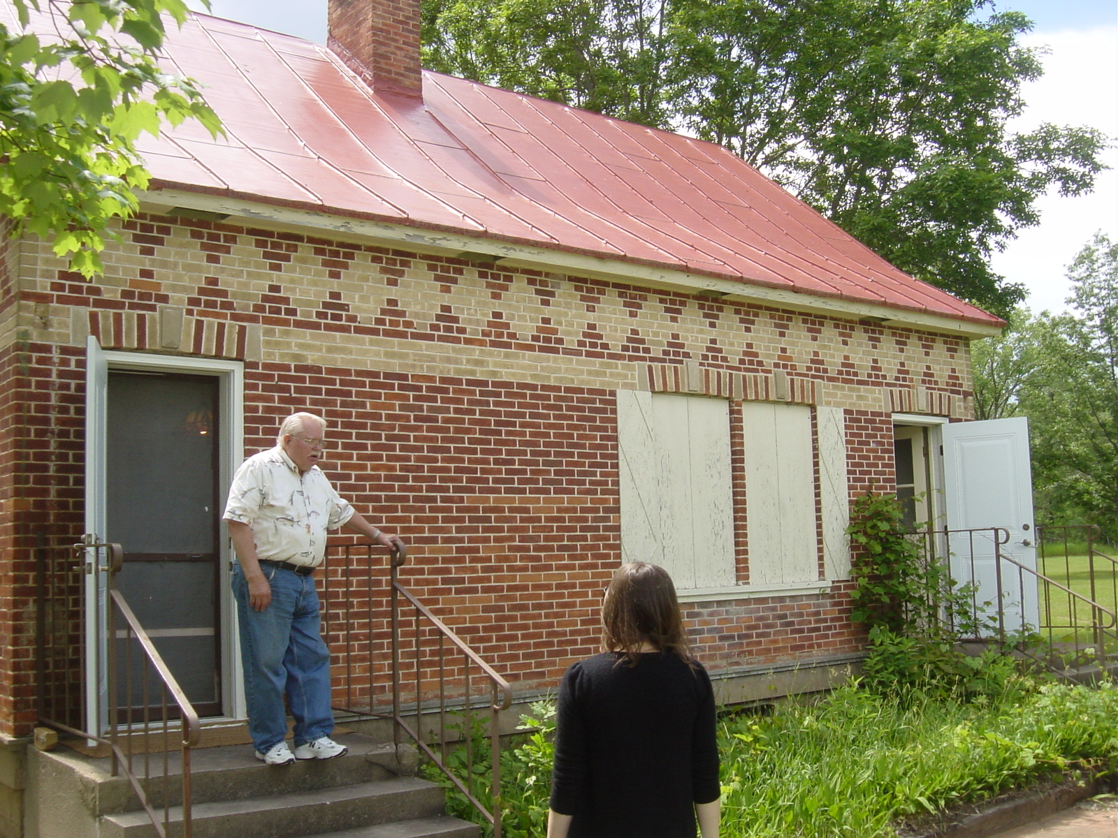
[3] Landmark name [4] Image Date listed Location City or town Summary 1 Arndt's Pensaukee Sawmill Complex March 22, 2006 Address Restricted Oconto 2 Beyer Home Museum August 14, 1979 917 Park Ave.
44°53′35″N 87°51′54″W / 44.893056°N 87.865°WOconto 3 Boulder Lake Site February 19, 2002 Address Restricted Doty 4 John G. Campbell House January 15, 1980 916 Park Ave.
44°53′36″N 87°51′52″W / 44.893333°N 87.864444°WOconto 5 Chute Pond Dam 
May 17, 2010 Chute Pond County Park Wisconsin Highway 32/Wisconsin Highway 64
45°07′52″N 88°26′35″W / 45.131069°N 88.443078°WMountain 6 Citizens State Bank of Gillett December 4, 2008 137 E. Main St.
44°53′26″N 88°18′19″W / 44.89065°N 88.305344°WGillett 7 First Church of Christ, Scientist November 19, 1974 Chicago and Main Sts.
44°53′25″N 87°52′41″W / 44.890278°N 87.878056°WOconto 8 Holt and Balcom Logging Camp No. 1 December 22, 1978 E of Lakewood
45°17′54″N 88°29′44″W / 45.298333°N 88.495556°WLakewood 9 Holt-Balcom Lumber Company Office November 13, 1976 106 Superior Ave.
44°53′13″N 87°52′08″W / 44.886944°N 87.868889°WOconto 10 Huff Jones House December 22, 1978 1345 Main St
44°53′14″N 87°51′46″W / 44.887222°N 87.862778°WOconto 11 Daniel E. Krause Stone Barn 
July 14, 2000 NE corner of Cty. Trunk Hwy S and Schwartz Rd.
44°43′06″N 88°10′43″W / 44.718333°N 88.178611°WChase 12 Mathey Building February 18, 1999 126 W. Main St.
44°57′04″N 88°02′52″W / 44.951111°N 88.047778°WLena 13 Mountain Fire Lookout Tower August 19, 2008 Forest Service Rd. 2335 (Tower Rd.), Lakewood Ranger District, Nicolet National Forest
45°12′49″N 88°27′52″W / 45.213611°N 88.464444°WRiverview August 29, 2008 featured listing (see weekly featured listings) 14 Mountain School 
November 22, 2000 14330 Hwy W West
45°10′56″N 88°28′33″W / 45.182222°N 88.475833°WMountain 15 Oconto County Courthouse March 9, 1982 300 Washington St.
44°53′22″N 87°51′58″W / 44.889444°N 87.866111°WOconto 16 Oconto Main Post Office August 28, 1980 141 Congress St.
44°53′18″N 87°52′05″W / 44.888333°N 87.868056°WOconto 17 Oconto Site 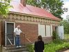
October 15, 1966 Copper Culture State Park
44°53′12″N 87°54′03″W / 44.886667°N 87.900833°WOconto 18 St. Mark's Episcopal Church, Guild Hall and Vicarage August 1, 1985 408 Park Ave.
44°53′18″N 87°51′51″W / 44.888333°N 87.864167°WOconto 19 St. Peter's and St. Joseph's Catholic Churches November 10, 1980 516 Brazeau Ave. and 705 Park Ave.
44°53′29″N 87°51′54″W / 44.891389°N 87.865°WOconto 20 Gov. Edward Scofield House April 11, 1973 610 Main St.
44°53′20″N 87°52′25″W / 44.888889°N 87.873611°WOconto 21 Smyth Road Bridge September 12, 1996 Smyth Rd. over North Branch of the Oconto River
45°18′54″N 88°24′54″W / 45.315°N 88.415°WLakewood 22 Weber Lake Picnic Ground Shelter May 21, 1996 Jct. of WI 32 and NFS 2308
45°09′37″N 88°26′58″W / 45.160278°N 88.449444°WMountain 23 West Main Street Historic District May 14, 1979 Main St. from Duncan to Erie Sts.
44°53′23″N 87°52′30″W / 44.889722°N 87.875°WOconto 24 White Potato Lake Garden Beds Site June 1, 2005 Address Restricted
45°07′54″N 88°13′02″W / 45.131667°N 88.217222°WBrazeau See also
- List of National Historic Landmarks in Wisconsin
- National Register of Historic Places listings in Wisconsin
References
- ^ "National Register of Historic Places: Weekly List Actions". National Park Service, United States Department of the Interior. Retrieved on November 10, 2011.
- ^ The latitude and longitude information provided in this table was derived originally from the National Register Information System, which has been found to be fairly accurate for about 99% of listings. For about 1% of NRIS original coordinates, experience has shown that one or both coordinates are typos or otherwise extremely far off; some corrections may have been made. A more subtle problem causes many locations to be off by up to 150 yards, depending on location in the country: most NRIS coordinates were derived from tracing out latitude and longitudes off of USGS topographical quadrant maps created under the North American Datum of 1927, which differs from the current, highly accurate WGS84 GPS system used by Google maps. Chicago is about right, but NRIS longitudes in Washington are higher by about 4.5 seconds, and are lower by about 2.0 seconds in Maine. Latitudes differ by about 1.0 second in Florida. Some locations in this table may have been corrected to current GPS standards.
- ^ Numbers represent an ordering by significant words. Various colorings, defined here, differentiate National Historic Landmark sites and National Register of Historic Places Districts from other NRHP buildings, structures, sites or objects.
- ^ "National Register Information System". National Register of Historic Places. National Park Service. . http://nrhp.focus.nps.gov/natreg/docs/All_Data.html.
U.S. National Register of Historic Places Topics Lists by states Alabama • Alaska • Arizona • Arkansas • California • Colorado • Connecticut • Delaware • Florida • Georgia • Hawaii • Idaho • Illinois • Indiana • Iowa • Kansas • Kentucky • Louisiana • Maine • Maryland • Massachusetts • Michigan • Minnesota • Mississippi • Missouri • Montana • Nebraska • Nevada • New Hampshire • New Jersey • New Mexico • New York • North Carolina • North Dakota • Ohio • Oklahoma • Oregon • Pennsylvania • Rhode Island • South Carolina • South Dakota • Tennessee • Texas • Utah • Vermont • Virginia • Washington • West Virginia • Wisconsin • WyomingLists by territories Lists by associated states Other Municipalities and communities of Oconto County, Wisconsin Cities 
Villages Towns CDPs Unincorporated
communitiesCounty Line‡ | Klondike | Little Suamico | Oak Orchard | Pensaukee | Sampson | Sobieski Corners | Spruce | Stiles | Stiles Junction | Underhill
Footnotes ‡This populated place also has portions in an adjacent county or counties
Categories:- Oconto County, Wisconsin
- Lists of historic places in Wisconsin
-


Wikimedia Foundation. 2010.