- Marathahalli
-
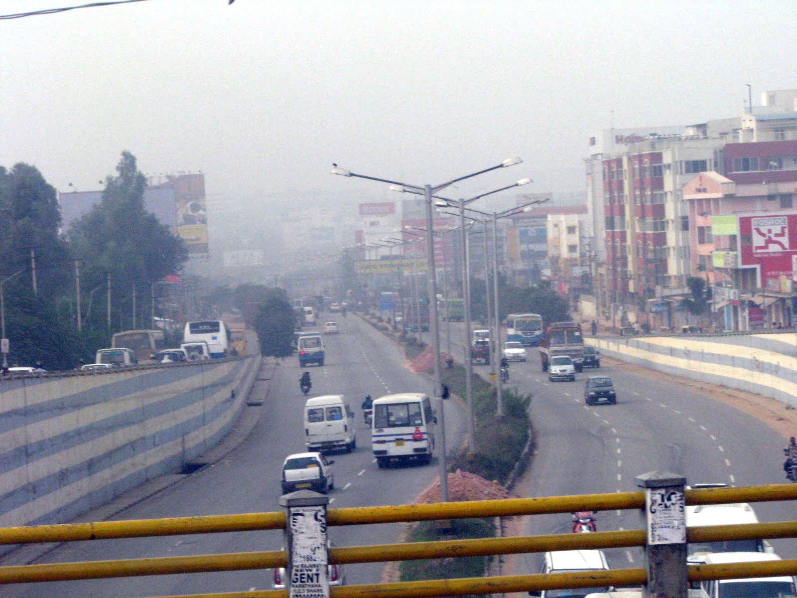
Marathahall — neighbourhood — View of Outer Ring Road from Marathahalli bridge
Coordinates 12°57′22″N 77°42′07″E / 12.956194°N 77.701943°ECoordinates: 12°57′22″N 77°42′07″E / 12.956194°N 77.701943°E Country India State Karnataka District(s) Bangalore Time zone IST (UTC+05:30) Marathahalli (Kannada: ಮಾರತಹಳ್ಳಿ ) is a suburb of Bangalore city in Karnataka state of India.[1] Halli in Kannada means village. A fighter aircraft named Marut had an accident in this area, hence the area is called Marathahalli. The Outer Ring Road of Bangalore passes through Marathahalli.
Marut in Hindi/ Sanskrit refers to lord Hanuman, the son of god of wind/air in Hindu mythology. A more convincing theory on the history of the name is that either a lot of Marathas camped here during the Mysore dynasty or Tipu Sultan regime or it could have been named after a hospital named St. Martha built in 1838. All of these are theories, there is no authentic record on the origin of the name.
Until the late 1990s the area was a sleepy village in the outskirts of Bangalore. Following the IT boom, its close proximity to HAL Airport, Whitefield, Sarjapur Road and Electronics City and the presence of the Outer Ring Road, this area has boomed into a self-sufficient township. There are a large number of cloth stores, supermarkets and other shops in this area which retail products at a cheaper rate compared to the rest of the city. A large number of flats and IT companies have also come up in the area. The first multiplex in Bangalore, Innovative Multiplex is located here.[2]
A huge 6 lane railway overbridge near Marathahalli Junction connects Kundalahalli area and HAL Airport Road.[1][3]
Contents
Localities near Marathahalli
Kundanahalli Gate
Kundanahalli Gate is an area around 1 kilometers away from Marathahalli bridge. It is an important connection point between Marathahalli, Whitefield and ITPL road. As this is a good connecting point to most of the IT industry offices, the rent in this point is high in comparison to other areas in Bangalore. This is also an area subject to traffic congestion. Some bike drivers also resort to driving on the pedestrian footpath which is common.
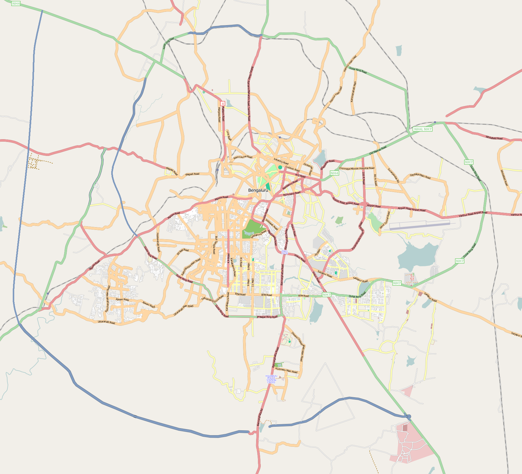
Geographic Location
Areas of Bangalore 
AECS Layout Chinnapanahalli Basava Nagar Old Airport Road 
Varthur  Marathahalli

Munne Kollal Panathur Kadubeesanahalli References
- ^ a b "Marathahalli: An urban village". The Indian Express. expressbuzz.com. 07 Jul 2009. http://www.expressbuzz.com/edition/story.aspx?Title=Marathahalli:+An+urban+village&artid=GbrVX0HAQxI=. Retrieved 2009-07-22.
- ^ "Bangalore". The Hindu. Jul 13, 2003. http://www.hinduonnet.com/mag/2003/07/13/stories/2003071300380500.htm. Retrieved 2009-07-22.
- ^ "Marathahalli overbridge thrown open to traffic". The Hindu. Apr 09, 2008. http://www.hindu.com/2008/04/09/stories/2008040959060500.htm. Retrieved 2009-07-22.
Categories:- Neighbourhoods of Bangalore
- Bangalore Urban district geography stubs

Wikimedia Foundation. 2010.