- Outer Ring Road, Bangalore
-
Coordinates: 12°55′29″N 77°40′54″E / 12.924763°N 77.68158°E
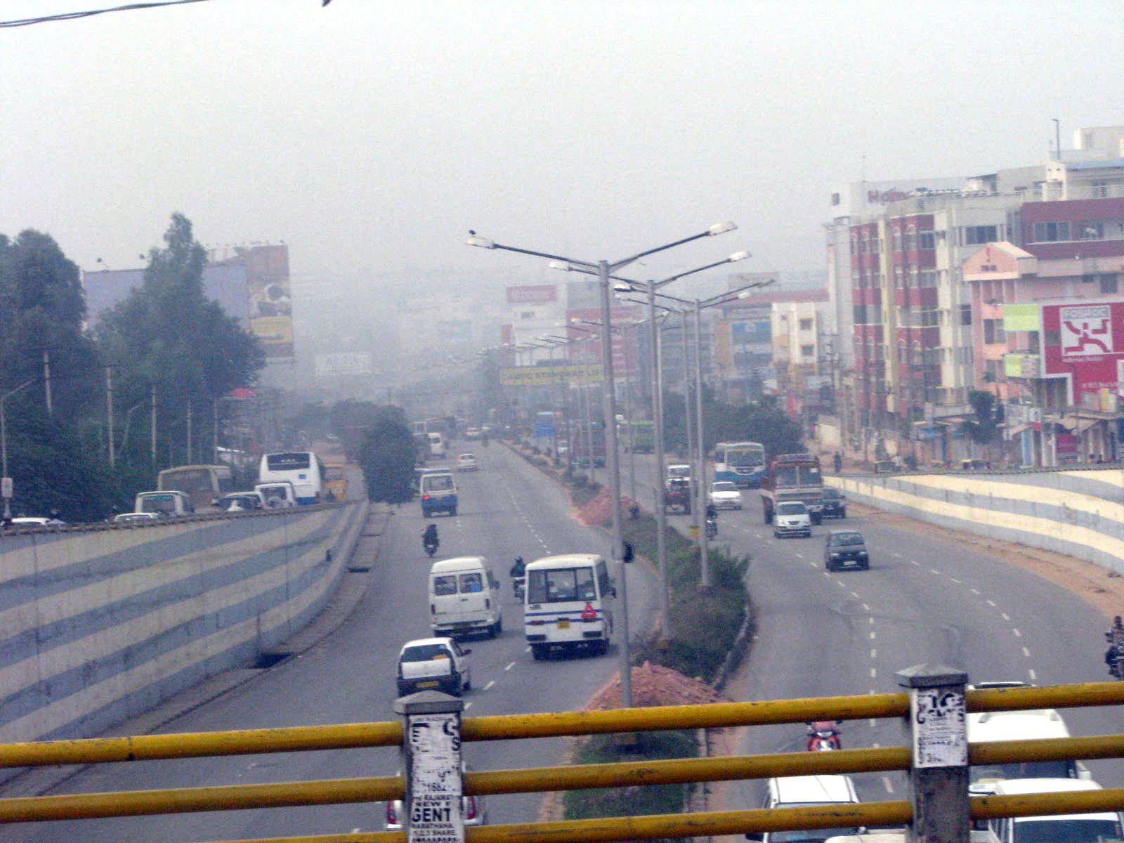
 Outer ring road seen from Marathalli bridge.
Outer Ring Road is a road that runs around most of the perimeter of Bangalore, India. This 62 km long road was developed by the Bangalore Development Authority and different sections were opened progressively between 1994 and 2002.
This road connects all major highways around the city - Tumkur Road (NH 4), Bellary Road (NH 7), Old Madras Road (NH 4), Hosur Road (NH 7), Bannerghatta Road, Kanakapura Road (NH 209), Mysore Road (SH-17) and Magadi Road. It passes through major suburbs such as Hebbal, Banaswadi, Krishnarajapuram, Marathahalli, Madiwala, BTM Layout, JP Nagar, Banashankari, Kengeri, Bangalore University, Nagarbhavi, Nandini Layout and Gokula.
Initially conceived to keep the truck traffic out of downtown Bangalore, the city has outgrown the Outer Ring Road. Nandi Infrastructure Corporation Limited has almost completed another partial ring road around Bangalore as a part of the Bangalore Mysore Infrastructure Corridor project (BMIC). The BDA and BMRDA have planned three more ring roads beyond the existing ring road.The first of these, the Peripheral ring road will run a few kilometers beyond the BMIC-PRR. The second and third of these will be known as the Intermediate ring road and the satellite towns ring road respectively. [1].
Contents
Gallery
- Outer Ring Road Gallery
-
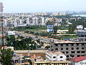
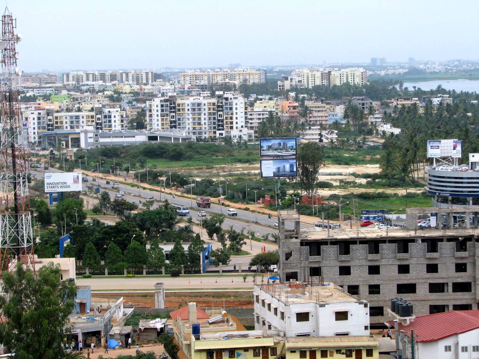
Bird's eye view of Outer Ring road area
-
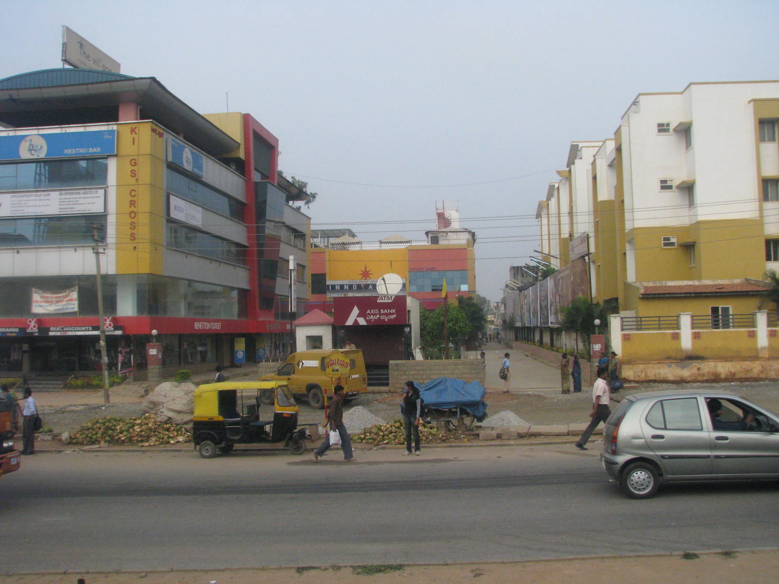
Innnovative Multiplex.
-

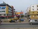
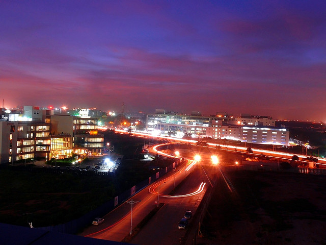
Road viewed from Cessna Business Park
-

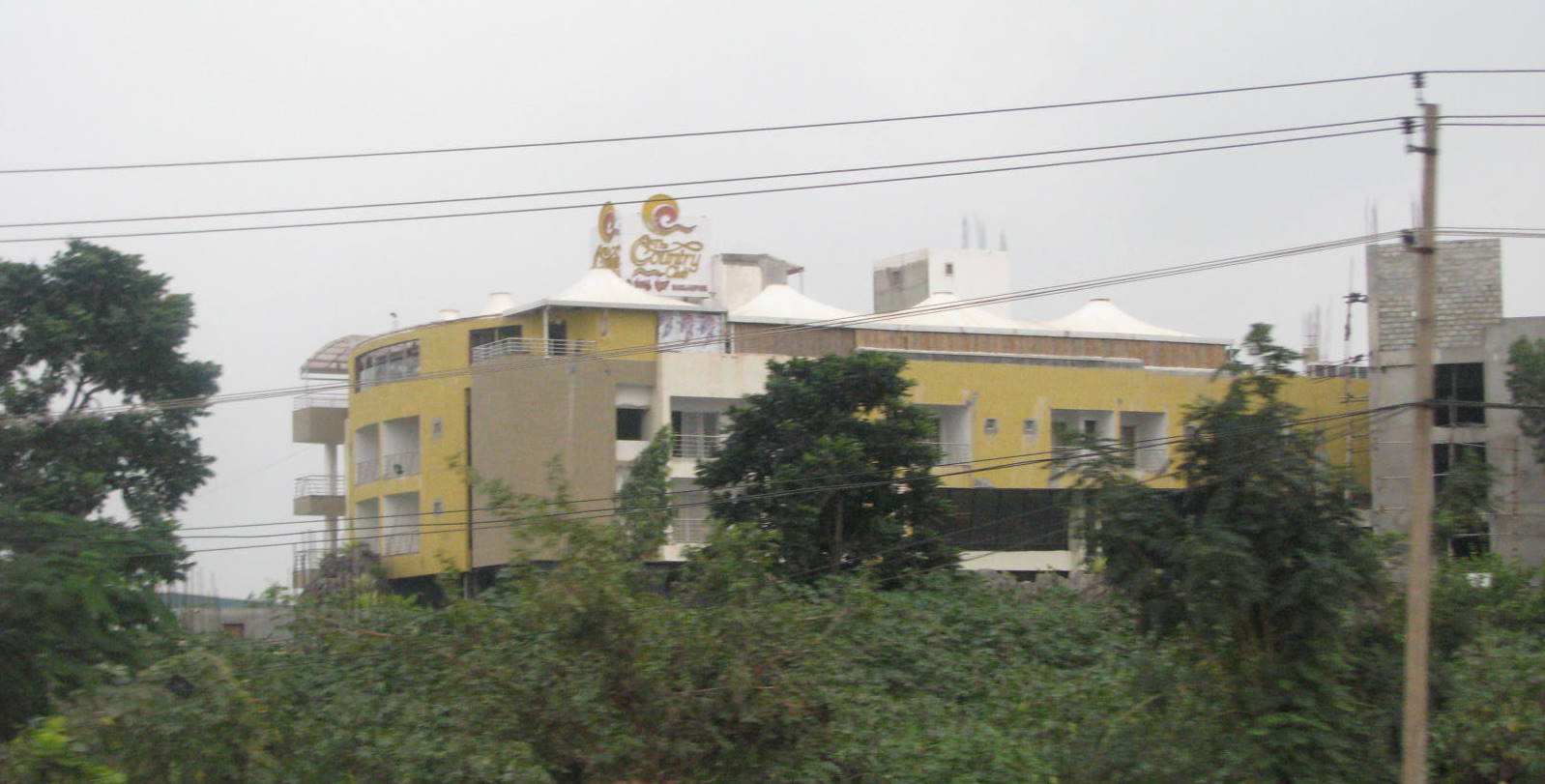
Country Club
-
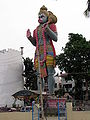
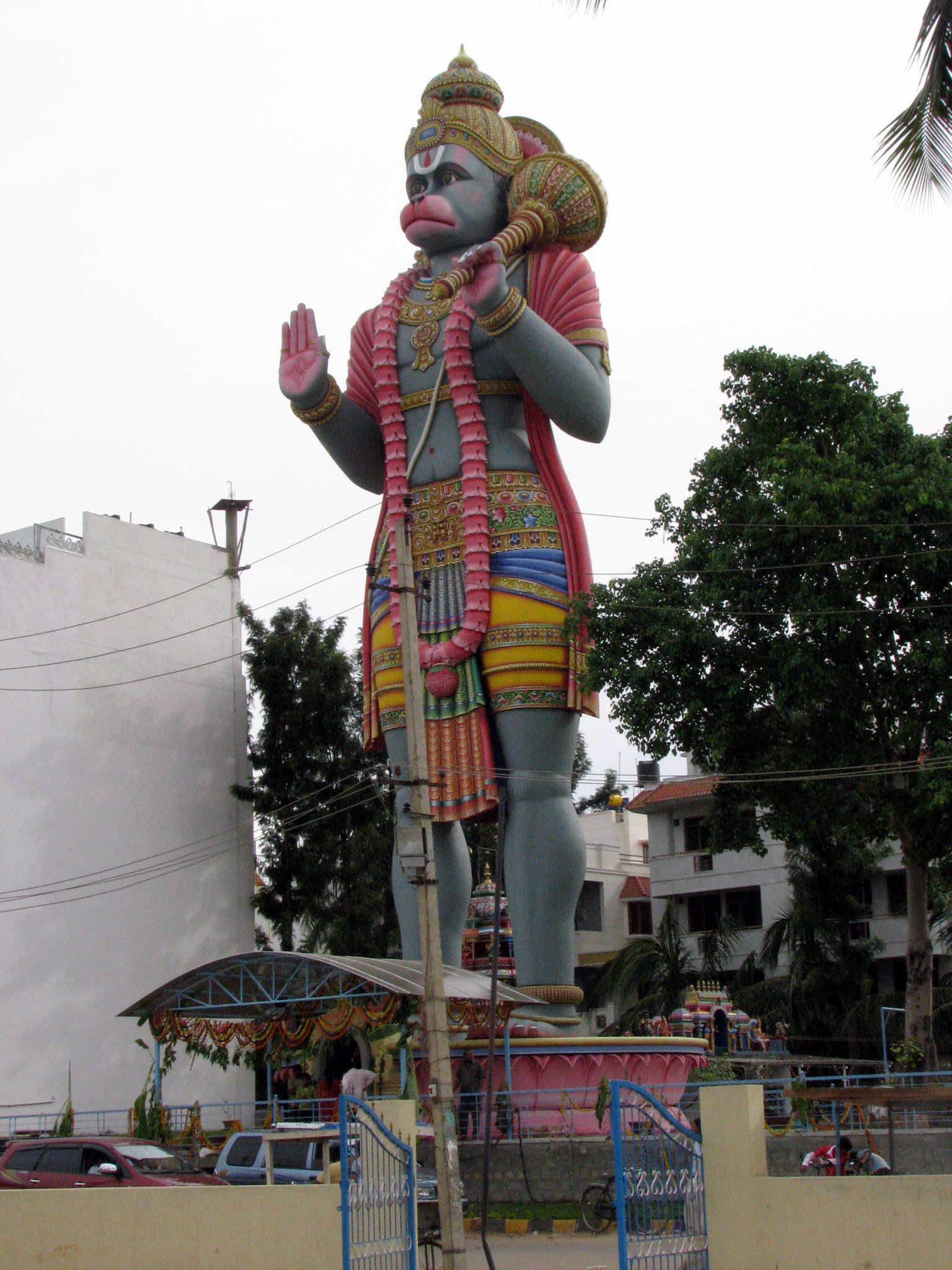
Tall Hanuman Statue
Core Ring Road
The Bangalore Core Ring Road is a proposed expressway system for the congested Indian city of Bangalore. It was proposed by the Bangalore Development Authority as part of a "Master Plan 2005-2015" for improvements to the traffic in the city. The proposal involves overpasses at every junction, a prohibition on right-hand turns, and free left-hand turns, allowing, it is claimed by the proposers, for the smooth and continuous flow of traffic.
The proposed Core Ring Road will accompany the already existing Intermediate Ring Road, Outer Ring Road, and Peripheral Ring Road.
Inner and Intermediate Ring Road
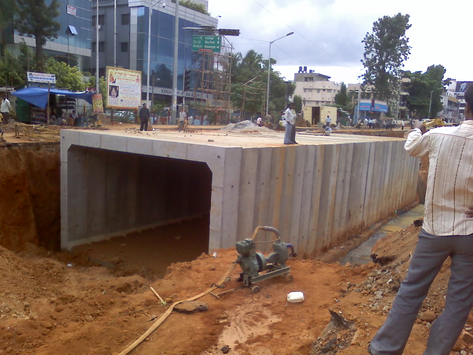
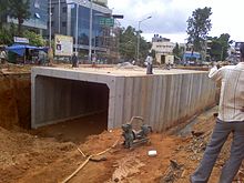 RCC Magic Box, used to build an underpass at Madiwala at the junction of Hosur Road and Inner Ring Road.
The Inner ring road in Bangalore is link road connecting Indiranagar and Madiwala. A number of MNCs, such as IBM, Dell, Lenovo, Continuous Computing and Microsoft are located along this road.
The Northern end of the road, beyond Old Airport Road is called 100 ft Road Indiranagar.
The IRR forms an important link for the Information Technology Corridor, which extends through Whitefield - Airport Road - Koramangala - Hi Tech City (proposed) and finally to Electronics City.
A number of important companies in IT industry have their offices in the "Embassy Golf Links" just off the IRR.
A big flyover has been constructed at the Domlur Junction of the IRR. It has helped in the decongestion of traffic at the Domlur signal.
Much of the land around the IRR is fenced barren defence land, which eliminates instances of people or animals crossing the road.
See also
- Namma Metro
- NICE Road
- Bengaluru Elevated Tollways
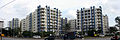
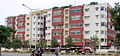
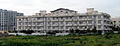
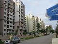
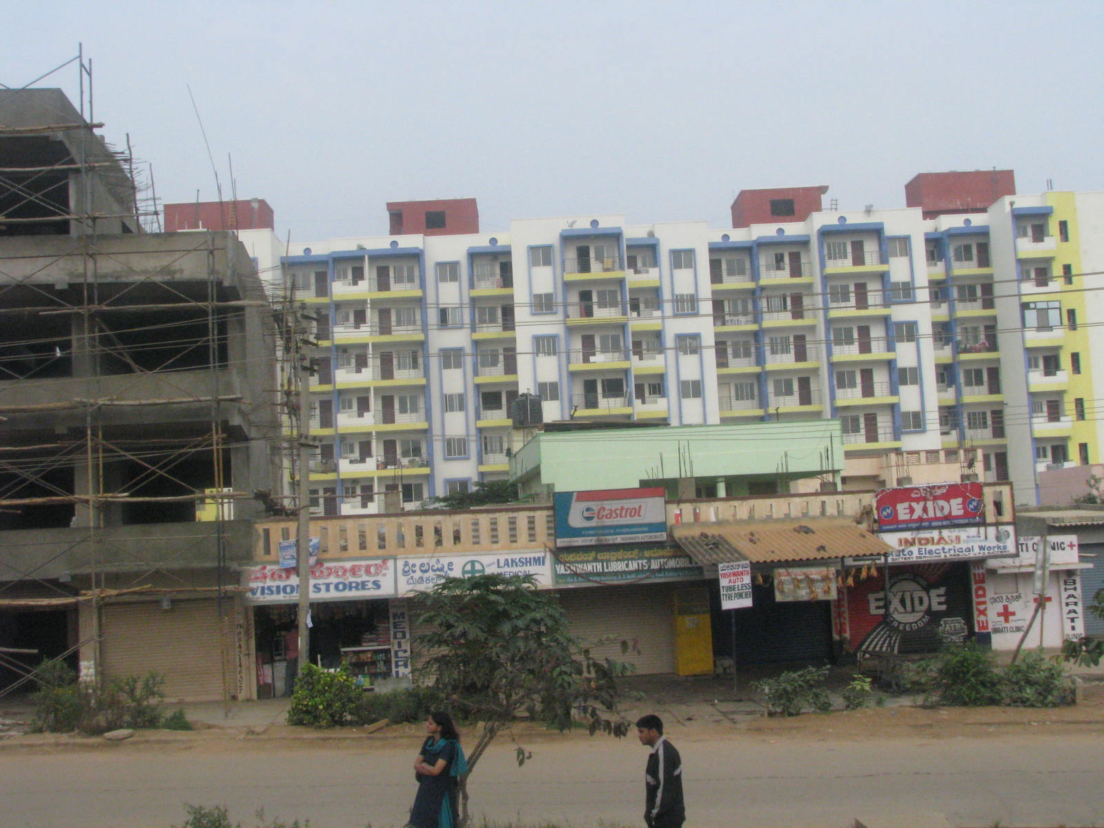
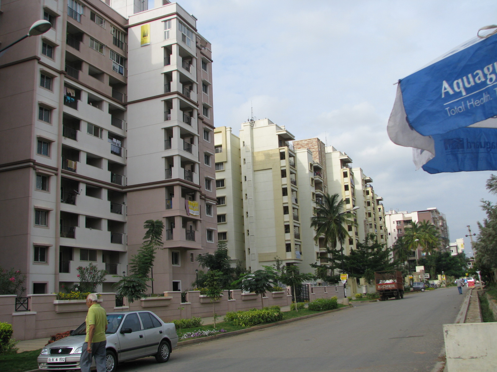
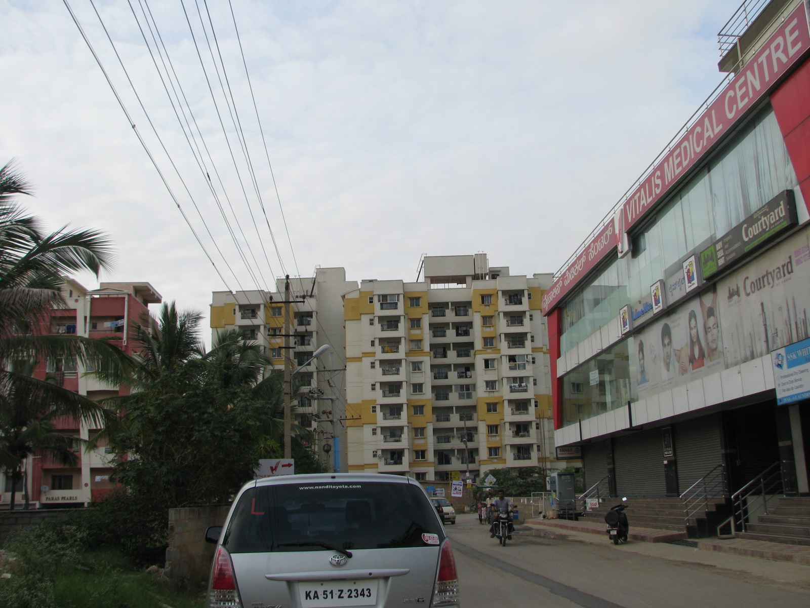
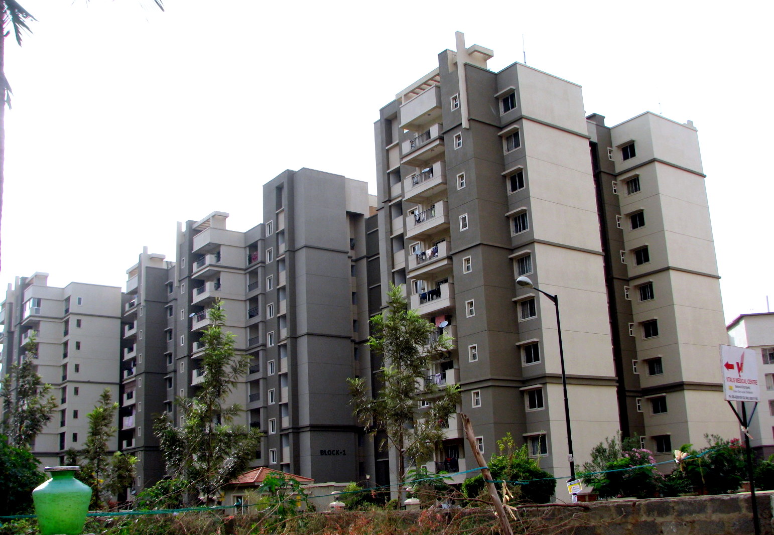
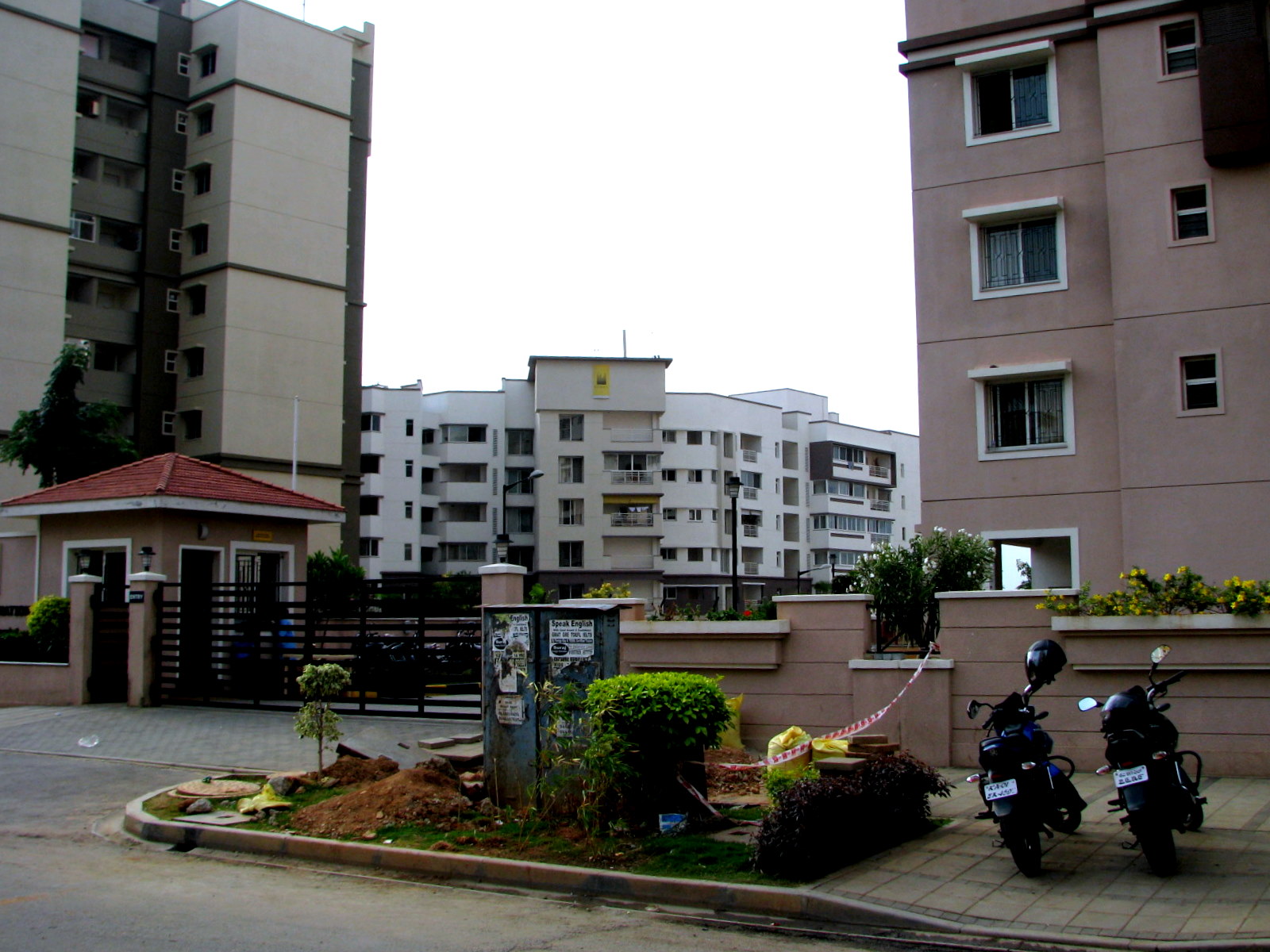
Residential Apartments on Outer Ring Road
- Adarsh Palm Retreat, Outer Ring Road, Bangalore
- Akme Harmony
- Sobha Iris
- DSR Regency GreenGlen Layout
- City Lights Liberty Apartments (Near to Pratham Motors, Bellandur Village)
- Residential Apartments Gallery
-
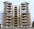
Akme Panoramio
-
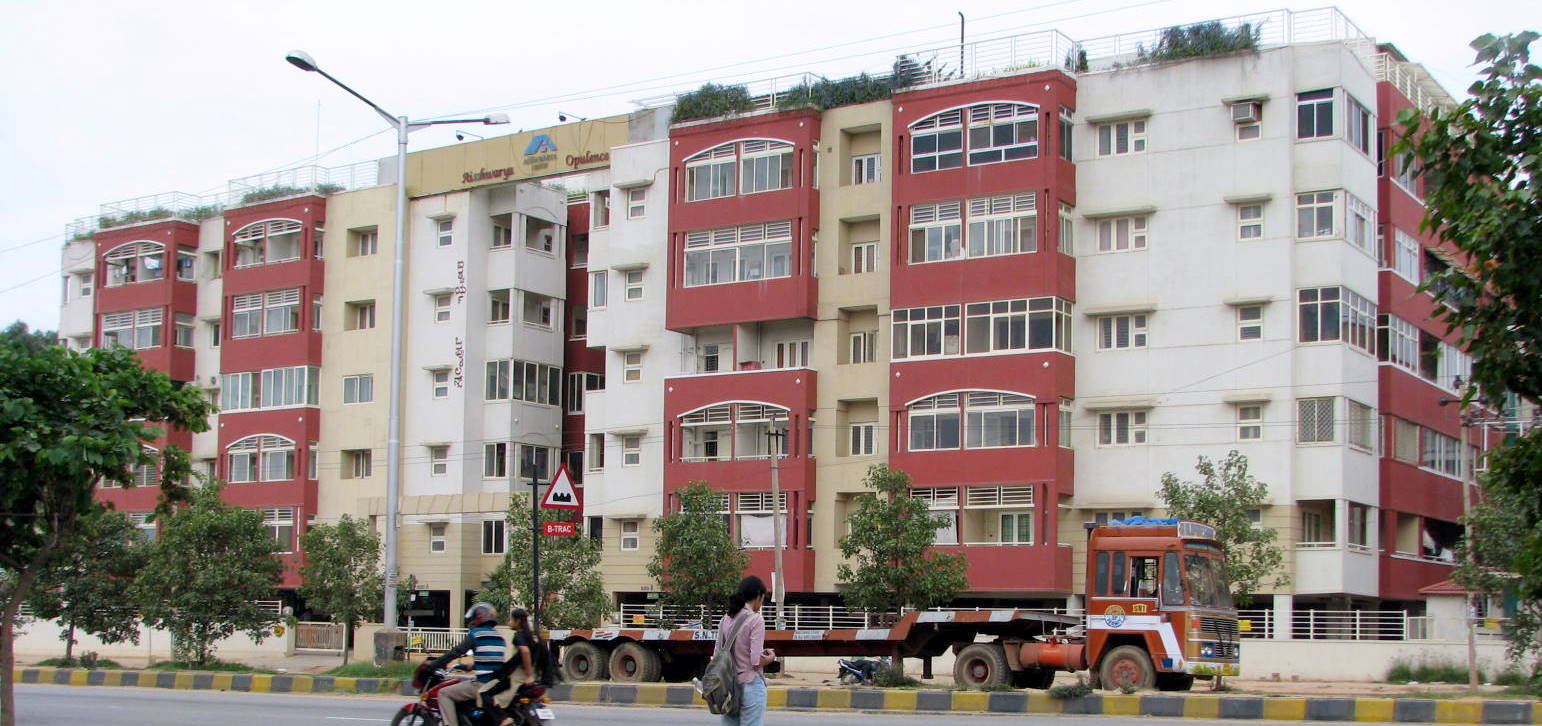
Aishwarya Opulence
-

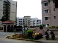
Utopia Apartment
-
Om Heritage
-
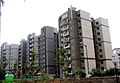
Sobha Carnation, Dahlia and Florella
-

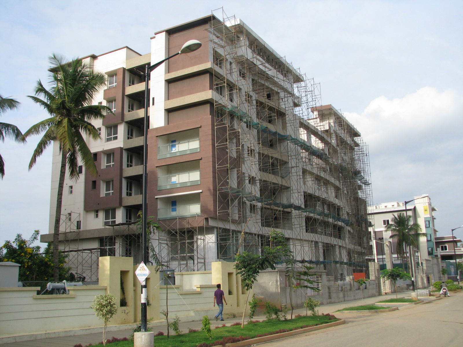
Sobha Florella Under Construction
-
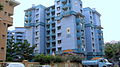
Sobha Hibiscus
-

Sobha Mayflower
-
Sobha Primrose
-
Sobha Quartz
-
Sobha lavender
Commercial Establishments
- Vrindavan Tech Village
- RMZ Ecospace
References and external links
- OUTER RING ROAD (Bangalore) - http://www.outerringroad.com
- Benjamin, Nina (2002-08-05). "On the outer ring of fame". The Hindu. http://www.thehindujobs.com/thehindu/mp/2002/08/05/stories/2002080500490300.htm. Retrieved 2008-12-16.
- "Work on outer ring road by June". The Times of India. 2002-02-14. http://timesofindia.indiatimes.com/articleshow/996481.cms. Retrieved 2008-12-16.
Categories:- Transport in Bangalore
- Roads in Bangalore
- Orbital roads in India

Wikimedia Foundation. 2010.