- De Tonti Square Historic District
-
De Tonti Square Historic District

Location: Mobile, Alabama Coordinates: 30°41′44.52″N 88°2′47.76″W / 30.6957°N 88.0466°WCoordinates: 30°41′44.52″N 88°2′47.76″W / 30.6957°N 88.0466°W Architectural style: Classical Revival, Late Victorian, Federal Governing body: Multiple NRHP Reference#: 72000169[1] Added to NRHP: February 7, 1972[2][1] The De Tonti Square Historic District is a historic district in the city of Mobile, Alabama, United States. It was placed on the National Register of Historic Places on February 7, 1972.[2] It is a nine-block area, roughly bounded by Adams, St. Anthony, Claiborne, and Conception Streets.[1] The district covers 280 acres (1.1 km2) and contains 66 contributing buildings. It was named in honor of Henri de Tonti and consists mainly of townhouses built between 1840 and 1860. It includes numerous examples of the Federal, Greek Revival, and Italianate architectural styles.[1]
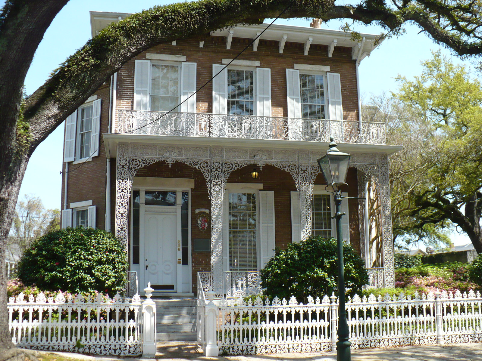
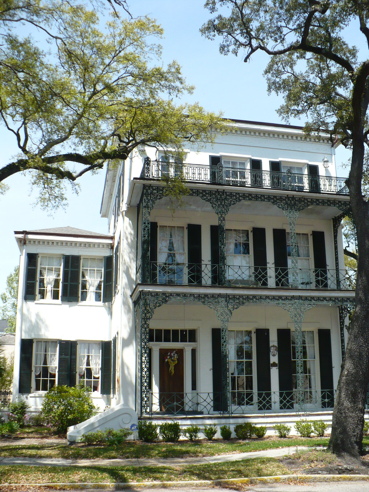
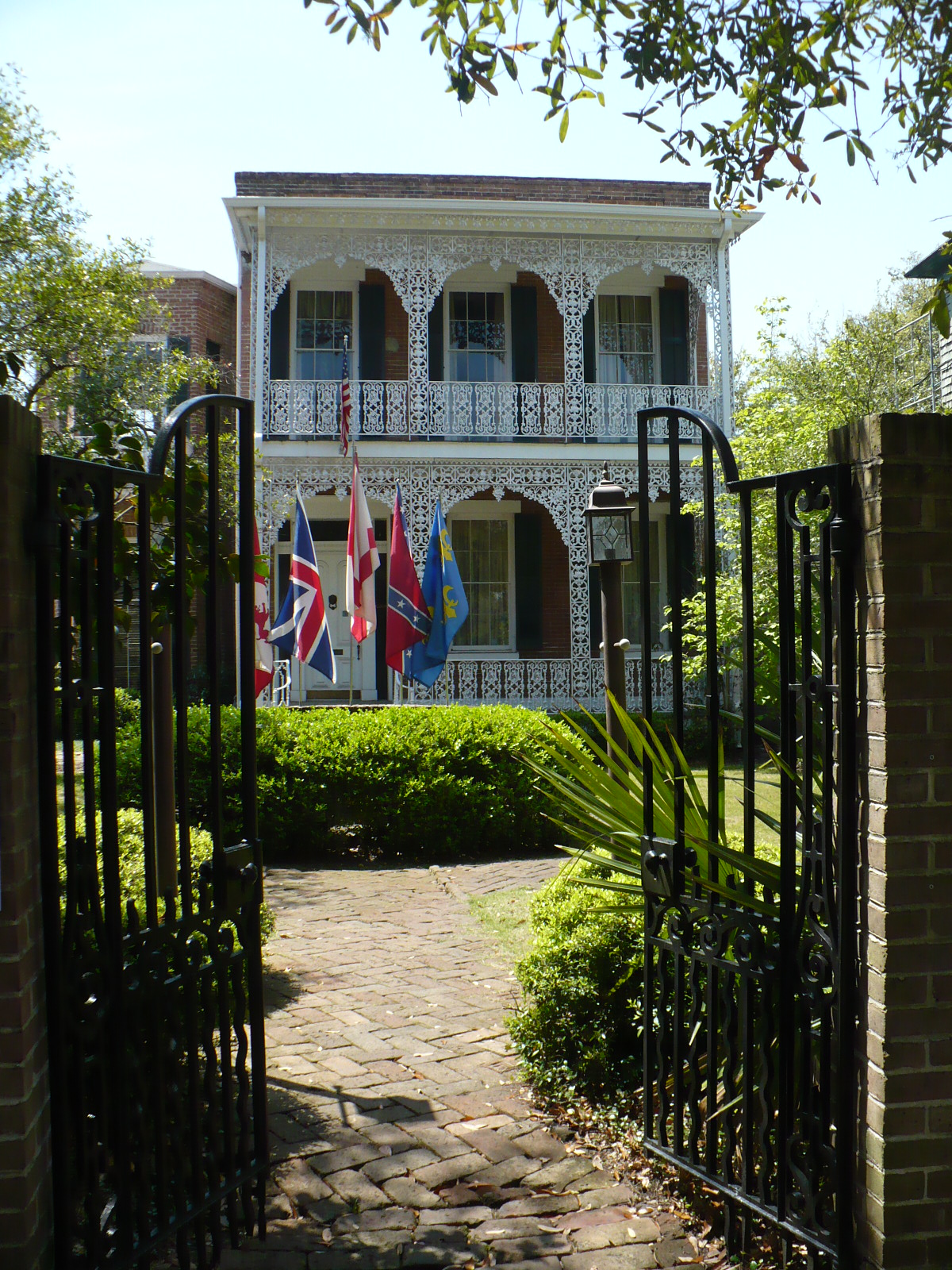
Architecture within the De Tonti Square Historic District  The Richards DAR House at 256 Joachim Street.
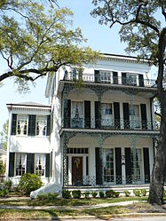 250 St. Anthony Street.
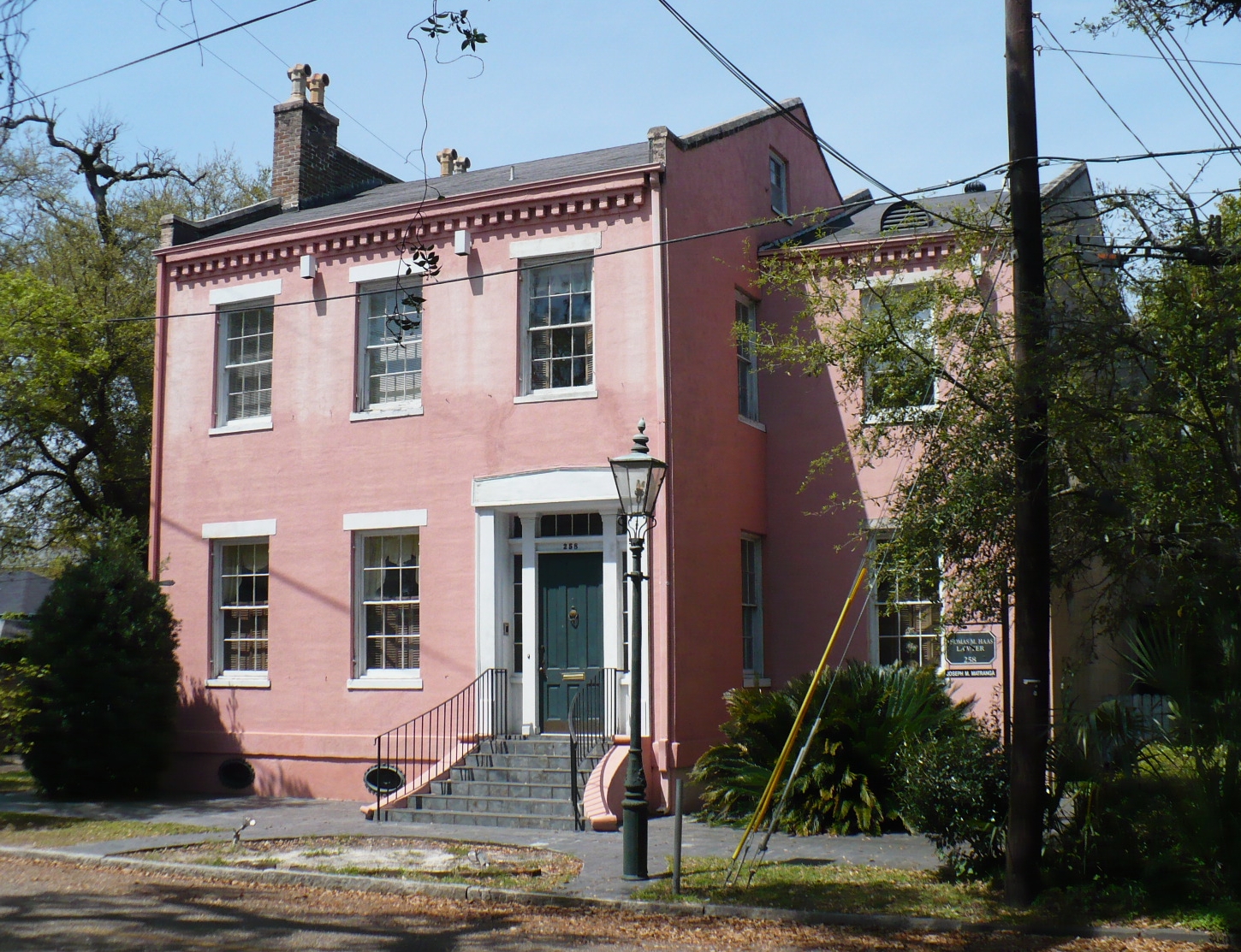
 258 State Street.
 254 St. Anthony Street.
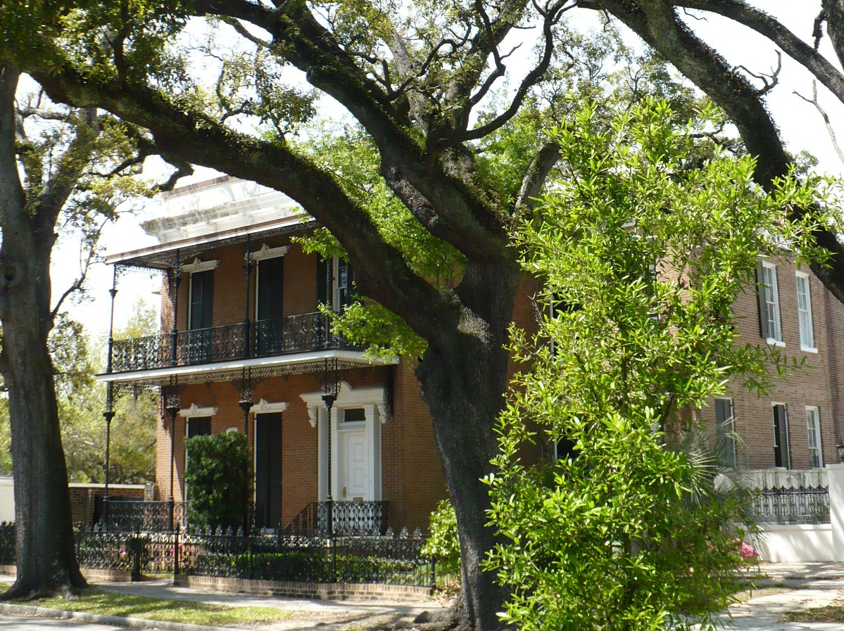
 256 State Street.
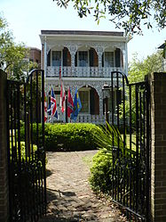 261 Joachim Street.
References
- ^ a b c d "Alabama: Mobile County". "Nationalhistoricalregister.com". http://www.nationalhistoricalregister.com/al/mobile/districts.html. Retrieved 2008-01-28.
- ^ a b "National Register Information System". National Register of Historic Places. National Park Service. no date specified. http://nrhp.focus.nps.gov/natreg/docs/All_Data.html.
U.S. National Register of Historic Places Topics Lists by states Alabama • Alaska • Arizona • Arkansas • California • Colorado • Connecticut • Delaware • Florida • Georgia • Hawaii • Idaho • Illinois • Indiana • Iowa • Kansas • Kentucky • Louisiana • Maine • Maryland • Massachusetts • Michigan • Minnesota • Mississippi • Missouri • Montana • Nebraska • Nevada • New Hampshire • New Jersey • New Mexico • New York • North Carolina • North Dakota • Ohio • Oklahoma • Oregon • Pennsylvania • Rhode Island • South Carolina • South Dakota • Tennessee • Texas • Utah • Vermont • Virginia • Washington • West Virginia • Wisconsin • WyomingLists by territories Lists by associated states Other Categories:- Historic districts in Alabama
- Historic districts in Mobile, Alabama
- National Register of Historic Places in Mobile, Alabama
- Classical Revival architecture in Alabama
- Greek Revival architecture in Alabama
- Federal architecture in Alabama
- Alabama Registered Historic Place stubs


Wikimedia Foundation. 2010.