- City of Hawthorn
-
This article is about a former local government area. For the suburb, see Hawthorn, Victoria.
City of Hawthorn
Victoria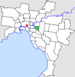
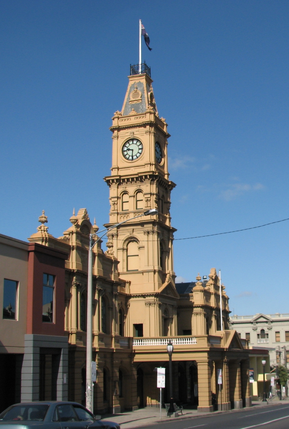
Location in MelbournePopulation: 31,500 (1992)[1] Established: 1860 Area: 9.71 km² (3.7 sq mi) Council Seat: Hawthorn Region: Melbourne County: Bourke LGAs around City of Hawthorn: Collingwood Kew Camberwell Richmond City of Hawthorn Camberwell Prahran Malvern Malvern  Hawthorn Town Hall
The City of Hawthorn was a Local Government Area located about 4 kilometres (2.5 mi) east of Melbourne, the state capital of Victoria, Australia, on the southeast bank of the Yarra River. The city covered an area of 9.71 square kilometres (3.75 sq mi), and existed from 1860 until 1994.
Contents
History
Hawthorn was first incorporated as a municipal district on 27 July 1860, becoming a town on 18 March 1887. It was proclaimed a City on 12 September 1890.[2]
On 22 June 1994, the City of Hawthorn was abolished and merged into the newly-created City of Boroondara along with the Cities of Kew and Camberwell.[3]
The council met at the Hawthorn Town Hall at the corner of Burwood and Glenferrie Roads near [Glenferrie railway station]], Hawthorn. The facility is still used by the City of Boroondara.
Wards
Hawthorn was divided into four wards on 1 October 1923, each electing three councillors:
- Auburn Ward
- Glenferrie Ward
- Power Ward
- Yarra Ward
Geography
The council area covered the suburbs of Hawthorn, Hawthorn East and part of Glen Iris, and was bounded by the Yarra River to the west, Barkers Road to the north, Gardiners Creek and the CityLink (formerly South Eastern Freeway) to the south and Burke Road to the east.[4]
Population
Year Population 1861 2,342 1881 6,019 1891 19,585 1947 40,464 1954 37,188 1958 35,700* 1961 36,707 1966 36,717 1971 37,571 1976 32,505 1981 30,689 1986 29,623 1991 30,006 * Estimate in the 1958 Victorian Year Book.
References
- ^ Australian Bureau of Statistics, Victoria Office (1994). Victorian Year Book. p. 49. ISSN 0067-1223.
- ^ Victorian Municipal Directory. Brunswick: Arnall & Jackson. 1992. pp. 393–394. Accessed at State Library of Victoria, La Trobe Reading Room.
- ^ Australian Bureau of Statistics (1 August 1995). Victorian local government amalgamations 1994-1995: Changes to the Australian Standard Geographical Classification. Commonwealth of Australia. p. 4. ISBN 0-642-23117-6. http://www.ausstats.abs.gov.au/ausstats/free.nsf/0/76E601D6DB55E88ACA25722500049195/$File/12570_1994-95.pdf. Retrieved 2007-12-16.
- ^ Melway - Greater Melbourne Street Directory (22nd edition). Glen Iris, Victoria: Melway Publishing Pty Ltd. 1993. pp. Maps 44–45, 58–59. ISSN 0311-3957.
Former Local Government Areas in Melbourne, Victoria Altona · Berwick · Box Hill · Brighton · Broadmeadows · Brunswick · Bulla (S) · Camberwell · Caulfield · Chelsea · Coburg · Collingwood · Cranbourne · Croydon · Diamond Valley (S) · Doncaster & Templestowe · Dandenong · Eltham (S) · Essendon · Fitzroy · Flinders (S) · Footscray · Frankston · Hastings (S) · Hawthorn · Healesville (S) · Heidelberg · Keilor · Kew · Lillydale (S) · Malvern · Moorabbin · Mordialloc · Mornington (S) · Northcote · Nunawading · Oakleigh · Pakenham (S) · Port Melbourne · Prahran · Preston · Richmond · Ringwood · Sandringham · Sherbrooke (S) · South Melbourne · Springvale · St Kilda · Sunshine · Upper Yarra (S) · Waverley · Werribee · Williamstown
Coordinates: 37°49′18″S 145°02′12″E / 37.8216°S 145.0367°E
Categories:- Former Local Government Areas of Victoria (Australia)

Wikimedia Foundation. 2010.