- Kerman, California
-
For the ancient city in Persia, see Kerman, Iran.
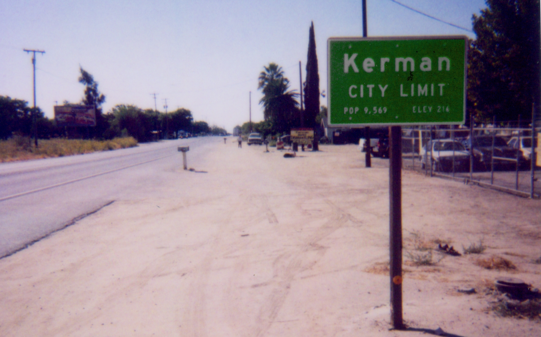
City of Kerman — City — Kerman's eastern city limit at SR-180 Location in Fresno County and the state of California
Coordinates: 36°43′25″N 120°03′36″W / 36.72361°N 120.06°WCoordinates: 36°43′25″N 120°03′36″W / 36.72361°N 120.06°W Country  United States
State  California
County Fresno Government – Mayor – Senate Michael J. Rubio (D) – Assembly Henry Perea (D) – U. S. Congress Jeff Denham (R) Area[1] – Total 3.233 sq mi (8.372 km2) – Land 3.233 sq mi (8.372 km2) – Water 0 sq mi (0 km2) 0% Elevation 220 ft (67 m) Population (2010) – Total 13,544 – Density 4,189.3/sq mi (1,617.8/km2) Time zone PST (UTC-8) – Summer (DST) PDT (UTC-7) ZIP code 93630 Area code(s) 559 FIPS code 06-38226 GNIS feature ID 1658895 Kerman (formerly, Collis)[2] is a city at the intersection of State Route 180 and State Route 145 in Fresno County, California, USA. The population was 13,544 at the 2010 census. Kerman is located 15 miles (24 km) west of Fresno,[2] at an elevation of 220 feet (67 m).[3]
Contents
History
Around 1891, the Southern Pacific Railroad Company constructed a new line between Tracy and Fresno. A watering tank and pump on that line was the beginning of Kerman, which was christened Collis in honor of the President of the road, Collis Potter Huntington. The first inhabitant, the caretaker of the pump and tank, kept the tank full of water for the thirsty engines with their long and lumbering trains. After some months, he resigned his job, not because of the work, he said, but because it was too lonesome and he was tired of being a hermit. He said he never saw anyone but the train crews and they were always in too big a hurry to carry on a conversation.
As a speculative venture, the old and very rich Bank of California purchased a huge tract of land in every County of California. The arid, barren land around Kerman seemed to be a good venture, so that happened to be the allotment for Fresno County.
After the death of its promoter, the bank became insolvent and its property was liquidated. The property here attracted the attention of two Los Angeles capitalists, William G. Kerckoff and Jacob Mansar, who saw a chance to purchase a plentiful water supply from the newly constructed Enterprise Canal, which had its source in the Kings River. The men combined the first three letters of each of their names and christined the area "Kerman." They pitched the property to Scandinavians and Germans settled in the Midwest.[2]
The Collis post office was opened in 1894, closed in 1899, re-established in 1904, and renamed Kerman in 1906.[2] Kerman incorporated in 1946.[2]
Geography
According to the United States Census Bureau, the city has a total area of 3.2 square miles (8.3 km2), all of it land.
Demographics
2010
The 2010 United States Census[4] reported that Kerman had a population of 13,544. The population density was 4,189.9 people per square mile (1,617.7/km²). The racial makeup of Kerman was 6,860 (50.6%) White, 68 (0.5%) African American, 173 (1.3%) Native American, 1,091 (8.1%) Asian, 14 (0.1%) Pacific Islander, 4,675 (34.5%) from other races, and 663 (4.9%) from two or more races. Hispanic or Latino of any race were 9,711 persons (71.7%).
The Census reported that 13,537 people (99.9% of the population) lived in households, 2 (0%) lived in non-institutionalized group quarters, and 5 (0%) were institutionalized.
There were 3,692 households, out of which 2,160 (58.5%) had children under the age of 18 living in them, 2,248 (60.9%) were opposite-sex married couples living together, 615 (16.7%) had a female householder with no husband present, 272 (7.4%) had a male householder with no wife present. There were 285 (7.7%) unmarried opposite-sex partnerships, and 25 (0.7%) same-sex married couples or partnerships. 460 households (12.5%) were made up of individuals and 208 (5.6%) had someone living alone who was 65 years of age or older. The average household size was 3.67. There were 3,135 families (84.9% of all households); the average family size was 3.97.
The population was spread out with 4,648 people (34.3%) under the age of 18, 1,469 people (10.8%) aged 18 to 24, 3,870 people (28.6%) aged 25 to 44, 2,580 people (19.0%) aged 45 to 64, and 977 people (7.2%) who were 65 years of age or older. The median age was 28.2 years. For every 100 females there were 99.6 males. For every 100 females age 18 and over, there were 96.9 males.
There were 3,908 housing units at an average density of 1,209.0 per square mile (466.8/km²), of which 2,165 (58.6%) were owner-occupied, and 1,527 (41.4%) were occupied by renters. The homeowner vacancy rate was 3.3%; the rental vacancy rate was 4.9%. 8,215 people (60.7% of the population) lived in owner-occupied housing units and 5,322 people (39.3%) lived in rental housing units.
2000
As of the census[5] of 2000, there were 8,551 people, 2,389 households, and 1,994 families residing in the city. The population density was 1,528.5/km² (3,951.2/mi²). There were 2,462 housing units at an average density of 440.1/km² (1,137.6/mi²). The racial makeup of the city was 42.50% White, 0.36% Black or African American, 1.95% Native American, 8.29% Asian, 0.02% Pacific Islander, 42.38% from other races, and 4.49% from two or more races. 64.93% of the population were Hispanic or Latino of any race.
There were 2,389 households out of which 51.8% had children under the age of 18 living with them, 61.4% were married couples living together, 15.2% had a female householder with no husband present, and 16.5% were non-families. 13.8% of all households were made up of individuals and 7.3% had someone living alone who was 65 years of age or older. The average household size was 3.57 and the average family size was 3.91.
In the city the population was spread out with 35.3% under the age of 18, 11.4% from 18 to 24, 28.7% from 25 to 44, 16.5% from 45 to 64, and 8.1% who were 65 years of age or older. The median age was 27 years. For every 100 females there were 97.9 males. For every 100 females age 18 and over, there were 97.9 males.
The median income for a household in the city was $31,188, and the median income for a family was $34,120. Males had a median income of $29,120 versus $21,906 for females. The per capita income for the city was $11,495. 20.2% of the population and 19.1% of families were below the poverty line. 25.1% of those under the age of 18 and 6.3% of those 65 and older were living below the poverty line.
Local Events
Events in Kerman include the Harvest Festival in September, the Fireworks Show at Kerman High School in July, and the Christmas Parade in December, and Talent show annually for Kerman High Students.
Educational institutions
The Kerman Unified School District is the sole school district serving Kerman and the surrounding areas. It consists of the following schools:
- Kerman High School
- Kerman Middle School
- Sun Empire Elementary School
- Kerman-Floyd Elementary School
- Goldenrod Elementary School
- Liberty Intermediate School
Private School:
- Kerman Christian School (On Kerman Covenant Church Campus)
& Adult School
Points of interest
References
- ^ U.S. Census
- ^ a b c d e Durham, David L. (1998). California's Geographic Names: A Gazetteer of Historic and Modern Names of the State. Quill Driver Books. ISBN 9781884995149.
- ^ U.S. Geological Survey Geographic Names Information System: Kerman, California
- ^ All data are derived from the United States Census Bureau reports from the 2010 United States Census, and are accessible on-line here. The data on unmarried partnerships and same-sex married couples are from the Census report DEC_10_SF1_PCT15. All other housing and population data are from Census report DEC_10_DP_DPDP1. Both reports are viewable online or downloadable in a zip file containing a comma-delimited data file. The area data, from which densities are calculated, are available on-line here. Percentage totals may not add to 100% due to rounding. The Census Bureau defines families as a household containing one or more people related to the householder by birth, opposite-sex marriage, or adoption. People living in group quarters are tabulated by the Census Bureau as neither owners nor renters. For further details, see the text files accompanying the data files containing the Census reports mentioned above.
- ^ "American FactFinder". United States Census Bureau. http://factfinder.census.gov. Retrieved 2008-01-31.
Convenience links
- Kerman Photo History Kermanphotos
Municipalities and communities of Fresno County, California Cities 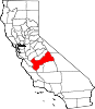
CDPs Auberry | Big Creek | Biola | Bowles | Calwa | Cantua Creek | Caruthers | Centerville | Del Rey | Easton | Fort Washington | Friant | Lanare | Laton | Malaga | Mayfair | Minkler | Monmouth | Old Fig Garden | Raisin City | Riverdale | Shaver Lake | Squaw Valley | Sunnyside | Tarpey Village | Three Rocks | Tranquillity | West Park
Unincorporated
communitiesAlder Springs | Arbios | Avocado | Balch Camp | Barstow | Benito | Big Bunch | Biola Junction | Bretz Mill | Broadview Farms | Burness | Burrel | Calflax | Camden | Cameo | Camp Sierra | Cecile | Cedar Crest | Cedar Grove | Cedarbrook | Cella | Chaney Ranch | Cincotta | Clint | Clotho | Conejo | Crabtree | Cromir | Deer Crossing | Dinkey Creek | Dora Belle | Dunlap | Edmiston | Elk | Elm View | Etheda Springs | Figarden | Five Points | Floyd | Giffen Cantua Ranch | Glorietta | Goldleaf | Goodmill | Gordon | Gravesboro | Helm | Herndon | Highway City | Hoffman Point | Hub | Hume | Hume Station | Humphreys Station | Huntington Lake | Ingle | Ivesta | Jamesan | Kanawyers | La Jolla Ranch | Lacjac | Lakeshore | Lerona | Levis | Locans | Lone Star | Marshall Junction | Mathews Mill | Mattei | Meadow Lakes | Mercey Hot Springs | Miley | Miramonte | Mono Hot Springs | Murietta Farm | Muscatel | Navelencia | New Auberry | Ockenden | Old Bretz Mill | Oleander | Ora | Oro Loma | Oxalis | Panoche Junction | Parkfield Junction | Piedra | Pilibos Ranch | Pinehurst | Pineridge | Prather | Pratton | Raco | Riverbend | Rock Haven | Rodgers Crossing | Rolinda | Sawmill Flat | Schilling | Shaver Lake Heights | Sierra Cedars | Sierra Sky Park | Snow Bend | Tarpey | Tollhouse | Trimmer | Turk | Uva | Vanguard | Wahtoke | Westhaven | Westside | Wildflower | Wineland | Wolf | Wood Ranch | Zediker
Indian
reservationsBig Sandy Rancheria | Cold Springs Rancheria | Table Mountain Rancheria
Ghost towns Andrews | Barton | Bender | Bridge | Bronge | Butler | Cadogan | Caldwell | Carlile | Carmelita | Coalinga Mineral Springs | Collins | Darwin | Dathol | Deseret | Dickerson | El Prado | Elkhorn Station | Eshel | Everts | Fargo | Fort Camp | Fresno Beach | Fresno City | Fruitvale | Garfield | Granz | Hawthorne's Station | Hayes | Kelso | Kingriver | Kingston | La Libertad | Last | Leroy | Letcher | Lillis | Marshall Station | McKenzie Spring | McMullin | Mendota Station | Millerton | Mountain Rest | Nares | Nevills | Oakhurst | Oleander | Peteras Mill | Pinedale | Pool's Ferry | Pool's Fort | Poso de Chane | Portal | Pueblo de las Juntas | Rancho de los Californios | Reka | Riverview | Robinson | Rogers | Rugg | Sanders | Sentinel | Sharpville | Shaver | Shipp | Smith's Ferry | Sparkville | Tarn | Temperance | Thermal | Tisechu | Vanris | Vino | Warsaw
Categories:- Incorporated cities and towns in California
- Cities in Fresno County, California
- Populated places in California with Hispanic majority populations
- Populated places established in 1891


Wikimedia Foundation. 2010.