- Friant, California
-
Friant — census-designated place — Location in Fresno County and the state of California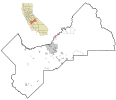
Coordinates: 36°59′16″N 119°42′43″W / 36.98778°N 119.71194°WCoordinates: 36°59′16″N 119°42′43″W / 36.98778°N 119.71194°W Country  United States
State  California
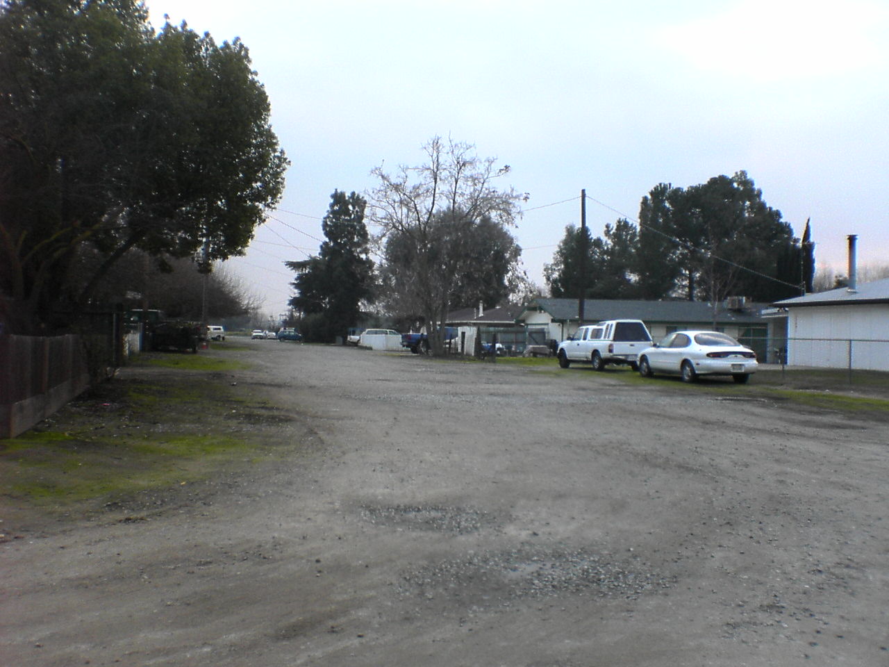
County Fresno Government – N/A – Senate Tom Berryhill (R) – Assembly Linda Halderman (R) – U. S. Congress Devin Nunes (R) Area[1] – Total 1.325 sq mi (3.434 km2) – Land 1.275 sq mi (3.303 km2) – Water 0.050 sq mi (0.131 km2) 3.8% Elevation 344 ft (105 m) Population (2010) – Total 509 – Density 384.2/sq mi (148.2/km2) Time zone PST (UTC-8) – Summer (DST) PDT (UTC-7) ZIP code 93626 Area code(s) 559 FIPS code 06-27014 GNIS feature ID 0223946 U.S. Geological Survey Geographic Names Information System: Friant, California  Unpaved street in Friant, California
Friant (formerly, Converse Ferry, Jones Ferry, Hamptonville, and Pollasky)[2] is a census-designated place (CDP) in Fresno County, California, United States. The population was 549 at the 2010 census, down from 778 at the 2000 census. Friant is located 11.5 miles (19 km) north of Clovis,[2] at an elevation of 344 feet (105 m).[3]
Contents
Geography
Friant is located at 36°59′16″N 119°42′43″W / 36.98778°N 119.71194°W.[3] The CDP is located along the banks of the San Joaquin River and at the base of Friant Dam and Millerton Lake.
According to the United States Census Bureau, the CDP has a total area of 1.3 square miles (3.4 km2), of which 96.2% is land and 3.8% is water.
History
The place was first called Converse Ferry for Charles Converse, who established a ferry across the San Joaquin River in 1852.[2] It was renamed Jones Ferry for J.R. Jones, a local merchant.[2] The post office came in 1881 and named the place Hamptonville, after William R. Hampton, its first postmaster.[2] The Southern Pacific Railroad arrived in 1891 and named the place Pollasky for Marcus Pollasky, a railroad official.[2] In the 1920s the place was renamed for Thomas Friant, a lumber company executive.[2]
Demographics
2010
The 2010 United States Census[4] reported that Friant had a population of 509. The population density was 383.9 people per square mile (148.2/km²). The racial makeup of Friant was 433 (85.1%) White, 4 (0.8%) African American, 14 (2.8%) Native American, 7 (1.4%) Asian, 0 (0.0%) Pacific Islander, 11 (2.2%) from other races, and 40 (7.9%) from two or more races. Hispanic or Latino of any race were 63 persons (12.4%).
The Census reported that 509 people (100% of the population) lived in households, 0 (0%) lived in non-institutionalized group quarters, and 0 (0%) were institutionalized.
There were 224 households, out of which 47 (21.0%) had children under the age of 18 living in them, 111 (49.6%) were opposite-sex married couples living together, 21 (9.4%) had a female householder with no husband present, 9 (4.0%) had a male householder with no wife present. There were 12 (5.4%) unmarried opposite-sex partnerships, and 5 (2.2%) same-sex married couples or partnerships. 61 households (27.2%) were made up of individuals and 33 (14.7%) had someone living alone who was 65 years of age or older. The average household size was 2.27. There were 141 families (62.9% of all households); the average family size was 2.75.
The population was spread out with 83 people (16.3%) under the age of 18, 35 people (6.9%) aged 18 to 24, 82 people (16.1%) aged 25 to 44, 169 people (33.2%) aged 45 to 64, and 140 people (27.5%) who were 65 years of age or older. The median age was 51.8 years. For every 100 females there were 111.2 males. For every 100 females age 18 and over, there were 110.9 males.
There were 252 housing units at an average density of 190.1 per square mile (73.4/km²), of which 171 (76.3%) were owner-occupied, and 53 (23.7%) were occupied by renters. The homeowner vacancy rate was 5.5%; the rental vacancy rate was 8.6%. 381 people (74.9% of the population) lived in owner-occupied housing units and 128 people (25.1%) lived in rental housing units.
2000
As of the census[5] of 2000, there were 519 male and 259 female (total: 778) people, 226 households, and 148 families residing in the CDP. The population density was 384.6 people per square mile (148.4/km²). There were 236 housing units at an average density of 174.9 per square mile (67.5/km²). The racial makeup of the CDP was 89.21% White, 1.93% Native American, 1.93% Asian, 0.19% Pacific Islander, 2.70% from other races, and 4.05% from two or more races. 10.02% of the population were Hispanic or Latino of any race.
There were 226 households out of which 19.5% had children under the age of 18 living with them, 53.5% were married couples living together, 7.5% had a female householder with no husband present, and 34.5% were non-families. 27.9% of all households were made up of individuals and 9.7% had someone living alone who was 65 years of age or older. The average household size was 2.27 and the average family size was 2.70.
In the CDP the population was spread out with 18.7% under the age of 18, 4.6% from 18 to 24, 23.1% from 25 to 44, 28.5% from 45 to 64, and 25.0% who were 65 years of age or older. The median age was 48 years. For every 100 females there were 100.4 males. For every 100 females age 18 and over, there were 104.9 males.
The median income for a household in the CDP was $30,234, and the median income for a family was $35,792. Males had a median income of $24,808 versus $32,188 for females. The per capita income for the CDP was $17,878. About 12.7% of families and 12.6% of the population were below the poverty line, including 14.0% of those under age 18 and 6.0% of those age 65 or over.
References
- ^ U.S. Census
- ^ a b c d e f g Durham, David L. (1998). California's Geographic Names: A Gazetteer of Historic and Modern Names of the State. Quill Driver Books. p. 1038. ISBN 9781884995149.
- ^ a b U.S. Geological Survey Geographic Names Information System: Friant, California
- ^ All data are derived from the United States Census Bureau reports from the 2010 United States Census, and are accessible on-line here. The data on unmarried partnerships and same-sex married couples are from the Census report DEC_10_SF1_PCT15. All other housing and population data are from Census report DEC_10_DP_DPDP1. Both reports are viewable online or downloadable in a zip file containing a comma-delimited data file. The area data, from which densities are calculated, are available on-line here. Percentage totals may not add to 100% due to rounding. The Census Bureau defines families as a household containing one or more people related to the householder by birth, opposite-sex marriage, or adoption. People living in group quarters are tabulated by the Census Bureau as neither owners nor renters. For further details, see the text files accompanying the data files containing the Census reports mentioned above.
- ^ "American FactFinder". United States Census Bureau. http://factfinder.census.gov. Retrieved 2008-01-31.
Municipalities and communities of Fresno County, California Cities 
CDPs Auberry | Big Creek | Biola | Bowles | Calwa | Cantua Creek | Caruthers | Centerville | Del Rey | Easton | Fort Washington | Friant | Lanare | Laton | Malaga | Mayfair | Minkler | Monmouth | Old Fig Garden | Raisin City | Riverdale | Shaver Lake | Squaw Valley | Sunnyside | Tarpey Village | Three Rocks | Tranquillity | West Park
Unincorporated
communitiesAlder Springs | Arbios | Avocado | Balch Camp | Barstow | Benito | Big Bunch | Biola Junction | Bretz Mill | Broadview Farms | Burness | Burrel | Calflax | Camden | Cameo | Camp Sierra | Cecile | Cedar Crest | Cedar Grove | Cedarbrook | Cella | Chaney Ranch | Cincotta | Clint | Clotho | Conejo | Crabtree | Cromir | Deer Crossing | Dinkey Creek | Dora Belle | Dunlap | Edmiston | Elk | Elm View | Etheda Springs | Figarden | Five Points | Floyd | Giffen Cantua Ranch | Glorietta | Goldleaf | Goodmill | Gordon | Gravesboro | Helm | Herndon | Highway City | Hoffman Point | Hub | Hume | Hume Station | Humphreys Station | Huntington Lake | Ingle | Ivesta | Jamesan | Kanawyers | La Jolla Ranch | Lacjac | Lakeshore | Lerona | Levis | Locans | Lone Star | Marshall Junction | Mathews Mill | Mattei | Meadow Lakes | Mercey Hot Springs | Miley | Miramonte | Mono Hot Springs | Murietta Farm | Muscatel | Navelencia | New Auberry | Ockenden | Old Bretz Mill | Oleander | Ora | Oro Loma | Oxalis | Panoche Junction | Parkfield Junction | Piedra | Pilibos Ranch | Pinehurst | Pineridge | Prather | Pratton | Raco | Riverbend | Rock Haven | Rodgers Crossing | Rolinda | Sawmill Flat | Schilling | Shaver Lake Heights | Sierra Cedars | Sierra Sky Park | Snow Bend | Tarpey | Tollhouse | Trimmer | Turk | Uva | Vanguard | Wahtoke | Westhaven | Westside | Wildflower | Wineland | Wolf | Wood Ranch | Zediker
Indian
reservationsBig Sandy Rancheria | Cold Springs Rancheria | Table Mountain Rancheria
Ghost towns Andrews | Barton | Bender | Bridge | Bronge | Butler | Cadogan | Caldwell | Carlile | Carmelita | Coalinga Mineral Springs | Collins | Darwin | Dathol | Deseret | Dickerson | El Prado | Elkhorn Station | Eshel | Everts | Fargo | Fort Camp | Fresno Beach | Fresno City | Fruitvale | Garfield | Granz | Hawthorne's Station | Hayes | Kelso | Kingriver | Kingston | La Libertad | Last | Leroy | Letcher | Lillis | Marshall Station | McKenzie Spring | McMullin | Mendota Station | Millerton | Mountain Rest | Nares | Nevills | Oakhurst | Oleander | Peteras Mill | Pinedale | Pool's Ferry | Pool's Fort | Poso de Chane | Portal | Pueblo de las Juntas | Rancho de los Californios | Reka | Riverview | Robinson | Rogers | Rugg | Sanders | Sentinel | Sharpville | Shaver | Shipp | Smith's Ferry | Sparkville | Tarn | Temperance | Thermal | Tisechu | Vanris | Vino | Warsaw
Categories:- Census-designated places in Fresno County, California
- Populated places established in 1852


Wikimedia Foundation. 2010.