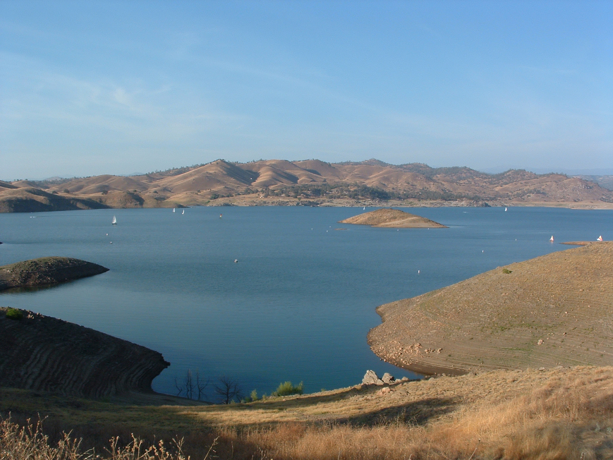
- Millerton Lake
-
Millerton Lake 
Location Sierra Nevada
Fresno- / Madera-Counties, CaliforniaCoordinates 37°02′33″N 119°39′16″W / 37.0425°N 119.6545°WCoordinates: 37°02′33″N 119°39′16″W / 37.0425°N 119.6545°W Lake type Reservoir Primary inflows San Joaquin River Primary outflows Friant-Kern Canal
Madera Canal
San Joaquin RiverCatchment area 1,675 sq mi (4,340 km2) Basin countries United States Surface area 4,900 acres (2,000 ha) Max. depth 319 ft (97 m) Water volume 520,528 acre·ft (642,062,000 m3) Surface elevation 561 ft (171 m) References U.S. Geological Survey Geographic Names Information System: Millerton Lake Millerton Lake is an artificial lake near the town of Friant about 15 mi (24 km) north of downtown Fresno. The reservoir was created by the construction of Friant Dam on the San Joaquin River which with the lake serves as much of the county line between Fresno County to the south and Madera County to the north.
Part of the Central Valley Project, the dam was built by the United States Bureau of Reclamation and was completed in 1942. The lake stores water for irrigation, which is distributed by the Madera and Friant-Kern Canals to the San Joaquin Valley. It has a capacity of 520,528 acre·ft (642,062,000 m3).
Secondary uses include flood control and recreation, including swimming, fishing, water skiing and camping. A 25 MW hydroelectric plant operated by the Friant Power Authority produces electricity from large releases and two smaller plants use water released for a fish hatchery and to maintain minimum-flow in the river.
Prior to the construction of Friant Dam, the current lake bed was the site of the town of Millerton, the first county seat of Fresno County.
See also
- List of largest reservoirs of California
References
- Department of Water Resources (2011). "Station Meta Data: Friant Dam (Millerton) (MIL)". California Data Exchange Center. State of California. http://cdec.water.ca.gov/cgi-progs/profile?s=MIL&type=dam. Retrieved 24 August 2011.
- Central Valley Project Friant Division (4 June 2009). "Friant Dam". U.S. Bureau of Reclamation. http://www.usbr.gov/projects/Facility.jsp?fac_Name=Friant+Dam&groupName=Overview. Retrieved 24 August 2011.
- Central Valley Project Friant Division (21 April 2011). "Friant Division Project". U.S. Bureau of Reclamation. http://www.usbr.gov/projects/Project.jsp?proj_Name=Friant%20Division%20Project&pageType=ProjectPage. Retrieved 24 August 2011.
External links
- Friant Water Authority
- Millerton Lake State Recreation Area
- Map of lake expansion proposals
- Millerton Lake Fishing
Central Valley Project Infrastructure Dams Auburn Dam · B.F. Sisk Dam · Folsom Dam · Friant Dam · Lewiston Dam · New Melones Dam · Nimbus Dam · O'Neill Dam · Red Bluff Diversion Dam · San Justo Dam · Shasta Dam · Sly Park Dam · Spring Creek Dam · Sugar Pine Dam · Trinity Dam · Whiskeytown Dam
Reservoirs Folsom Lake · Millerton Lake · Lake Natoma · New Melones Lake · O'Neill Forebay · San Luis Reservoir · Sugar Pine Reservoir · Shasta Lake · Trinity Lake · Whiskeytown Lake
Aqueducts and canals Clear Creek Tunnel · Contra Costa Canal · Corning Canal · Delta Cross Channel · Delta–Mendota Canal · Friant-Kern Canal · Madera Canal · San Luis Canal · Tehama-Colusa Canal
Rivers American River · Clear Creek · Chowchilla River · Kern River · Sacramento River · San Joaquin River · San Luis Creek · Stanislaus River
Categories:- Lakes of Fresno County, California
- Lakes of Madera County, California
- Reservoirs in California
- San Joaquin River
Wikimedia Foundation. 2010.