- Cherry, Arizona
-
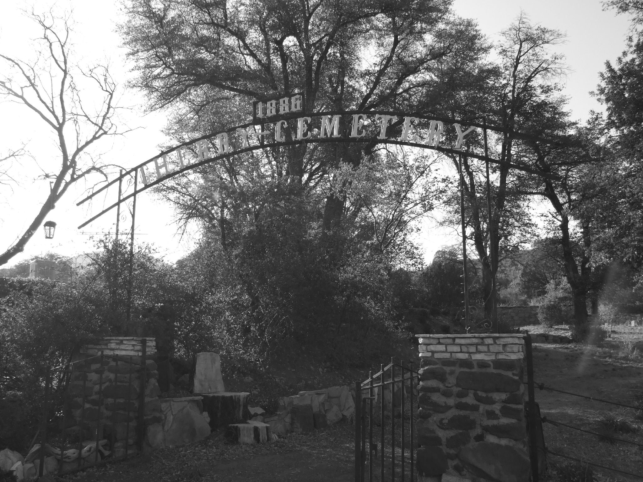
Cherry, Arizona — Ghost town — Cherry cemetery, 1886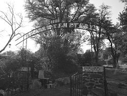 Location within the state of Arizona
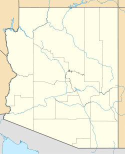
 Cherry, Arizona
Coordinates: 34°35′17″N 112°02′31″W / 34.58806°N 112.04194°WCoordinates: 34°35′17″N 112°02′31″W / 34.58806°N 112.04194°W Country United States State Arizona County Yavapai Time zone Mountain (MST) (UTC-7) ZIP codes FIPS code GNIS feature ID Cherry is a mining ghost town in central Yavapai County, Arizona, United States, between Dewey and Camp Verde.[1] Cherry's post office was established March 3, 1884 and discontinued March 15, 1943. Notable mines in the area include the Federal, Bunker, Sunnybrook, Logan and Gold Bullion[2] mines. About 400 people lived and worked in Cherry during its prime. At present, Cherry is a small retirement and vacation-home community. A number of the original buildings are still in use. The Cherry cemetery has several graves from the late 19th and early 20th centuries.
References
- ^ Cherry ghost town info
- ^ "Gold Bullion Mine (Copper Bullion Mine), Cherry, Cherry Creek District, Black Hills (Black Hill Range), Yavapai Co., Arizona, USA". Mindat.org. 2010-07-30. http://www.mindat.org/loc-48394.html. Retrieved 2010-08-04.
External links
Municipalities and communities of Yavapai County, Arizona County seat: Prescott Cities Cottonwood | Peoria‡ | Prescott | Sedona‡

Towns CDPs Ash Fork | Bagdad | Big Park | Black Canyon City | Congress | Cordes Lakes | Cornville | Lake Montezuma | Mayer | Paulden | Peeples Valley | Seligman | Spring Valley | Verde Village | Wilhoit | Williamson | Yarnell
Unincorporated
communitiesCherry | Cleator | Crown King | Drake | Iron Springs | Kirkland | Red Rock | Skull Valley
Indian reservation Hualapai Indian Reservation
Ghost towns Alexandra | Big Bug | Bradshaw City | Bumble Bee | Catoctin | Cordes | Jerome Junction | Octave | Piedmont | Stanton | Tip Top | Weaver
Footnotes ‡This populated place also has portions in an adjacent county or counties
Categories:- Populated places in Yavapai County, Arizona
- Ghost towns in Arizona
- 1884 establishments
- Arizona geography stubs
- United States ghost town stubs


Wikimedia Foundation. 2010.