- Cleator, Arizona
-
Cleator, Arizona — Ghost town — Location within the state of Arizona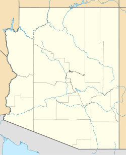
 Cleator, Arizona
Coordinates: 34°16′43″N 112°13′59″W / 34.27861°N 112.23306°WCoordinates: 34°16′43″N 112°13′59″W / 34.27861°N 112.23306°W Country United States State Arizona County Yavapai Elevation[1] 3,501 ft (1,067 m) Time zone MST (no DST) (UTC-7) ZIP codes FIPS code GNIS feature ID 27704 Cleator is a ghost town in Yavapai County, Arizona, United States. It lies along the road that has replaced Murphy's Impossible Railroad between Cordes and Crown King.
Cleator was established in 1864 as a placer gold mining site under the name Turkey Creek Mining District. A post office was established at Turkey Creek in July 1869 but closed within three months.[2]
Turkey Creek was renamed Cleator in 1925 after James P. Cleator took possession of the town from Levrett P. Nellis. He then named the post office after himself.[2] The post office closed July 15, 1954.[2]
Cleator's population fell in the 1920s as mining in the area declined and the town was put up for sale by James Cleator in April 1949. It then had about 60 residents.[2] James P. Cleator's son Thomas bought the town and lived there until his death in 1996. He kept the small bar open most of the years he lived there. After his death everything was inherited by his sister Eleanor and her son. The bar is still open and a favorite stop along the dusty road for recreational ATV drivers and weekend tourists.
Several original buildings remain and are occupied.
References
Further reading
- Philip Varney, Arizona Ghost Towns and Mining Towns: A travel guide to history, Phoenix, Arizona: Highways Books, 1988, 117 pages.
External links
Municipalities and communities of Yavapai County, Arizona County seat: Prescott Cities Cottonwood | Peoria‡ | Prescott | Sedona‡

Towns CDPs Ash Fork | Bagdad | Big Park | Black Canyon City | Congress | Cordes Lakes | Cornville | Lake Montezuma | Mayer | Paulden | Peeples Valley | Seligman | Spring Valley | Verde Village | Wilhoit | Williamson | Yarnell
Unincorporated
communitiesCherry | Cleator | Crown King | Drake | Iron Springs | Kirkland | Red Rock | Skull Valley
Indian reservation Hualapai Indian Reservation
Ghost towns Alexandra | Big Bug | Bradshaw City | Bumble Bee | Catoctin | Cordes | Jerome Junction | Octave | Piedmont | Stanton | Tip Top | Weaver
Footnotes ‡This populated place also has portions in an adjacent county or counties
Categories:- Populated places in Yavapai County, Arizona
- Ghost towns in Arizona
- Arizona geography stubs
- United States ghost town stubs


Wikimedia Foundation. 2010.